best hikes Columbia River Gorge, Oregon

Zach Urness, Statesman Journal:

While occasionally spectacular during the depths of winter, it’s the spring months of April, May and June when the Gorge reaches its scenic peak.

Blooms of wildflowers, roaring waterfalls, panoramic viewpoints and mossy forest combine to offer singular hiking experiences up and down the national scenic area.

To get you prepared for the season, I’ve put together a list of the 13 best overall hikes the Gorge has to offer, in consultation with the Friends of the Columbia River Gorge.

As ever, it’s important to remember that hiking during the week or early in the morning is highly recommended. The Gorge becomes as crowded as shopping malls in many places on weekend afternoons.

Best 13 hikes of the Columbia River Gorge

(via Meanderthals)

2 days on Turkey’s Carian Trail

Trip report by site editor Rick McCharles | day 1 | day 2

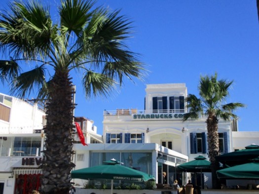
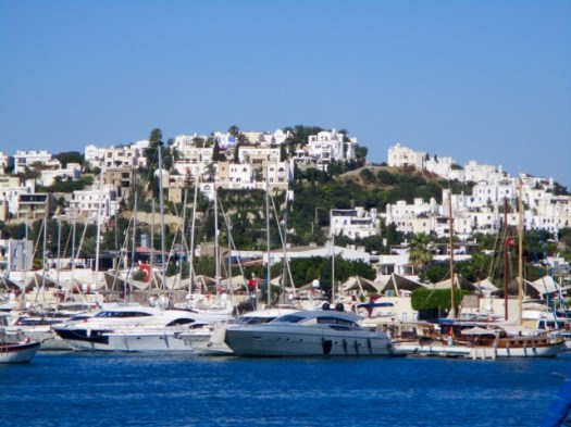
day 1 – 8am Starbucks, Bodrum.

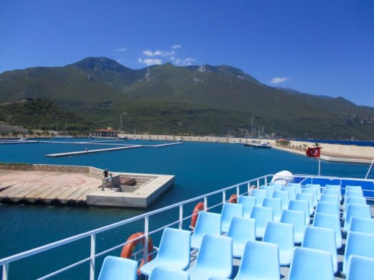
9:30am – ferry to Datça.

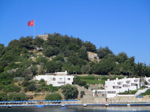
You pass the Greek island of Kos en route.

11am – arrive at the new ferry terminal.

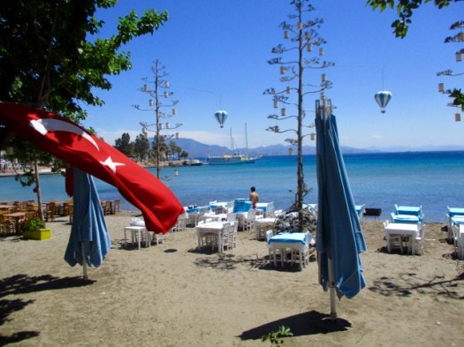
Free shuttle bus to town.

I wandered Datça town for an hour enjoying the peace and quiet after busy Bodrum.

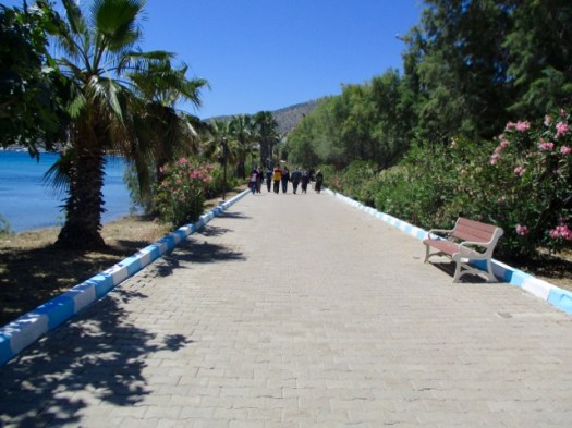
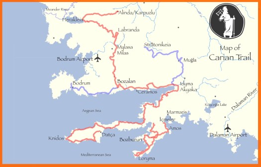
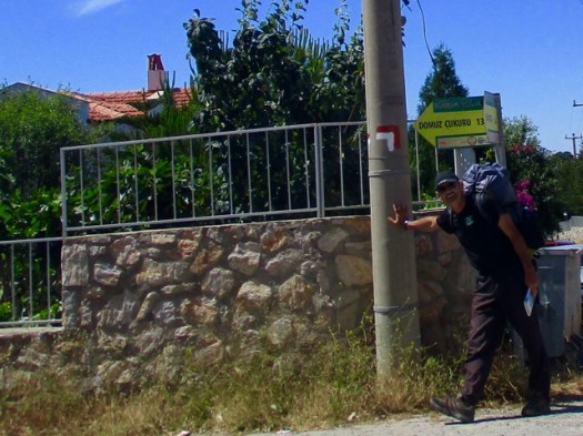
Eventually I found the official trailhead in Eski Datça. This is the start of the 240km Datça Peninsula section.

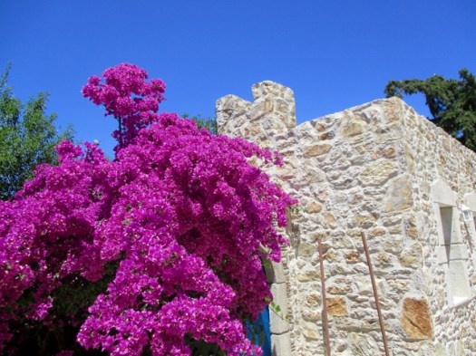
People visit to see traditional old stone houses on cobbled streets.

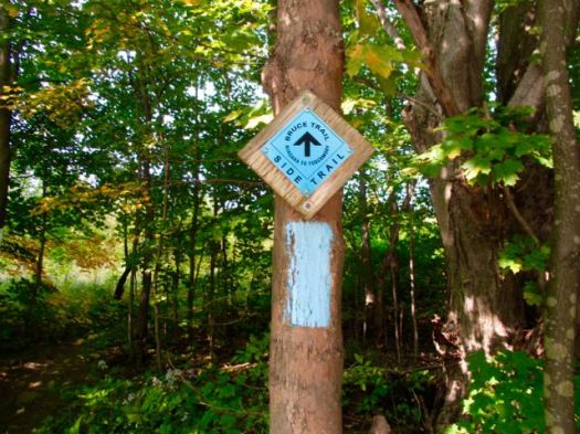
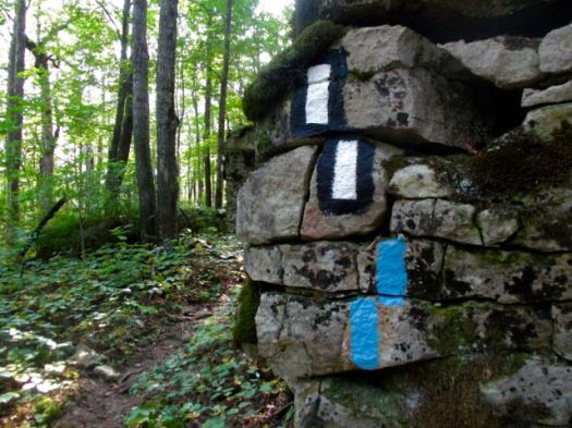
Follow the red & white paint.

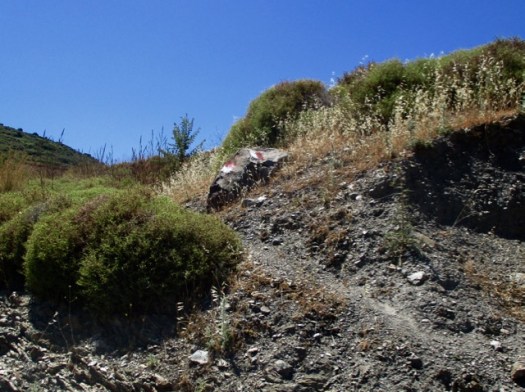
There are some signs on the Carian Trails, but not many.

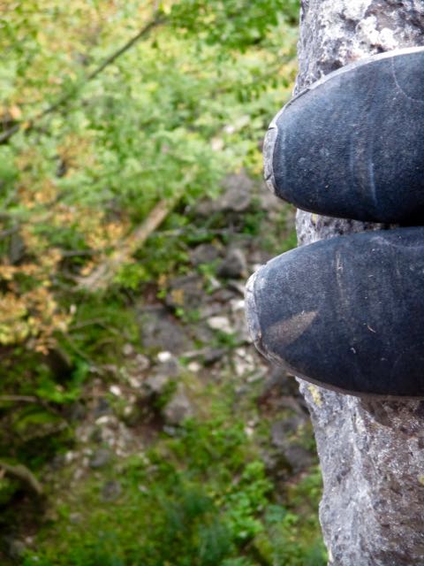
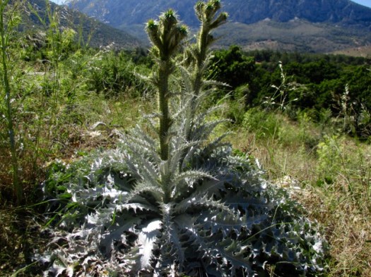
I wore long pants due to thorny, stinging vegetation on the overgrown trails. In fact I should have had even thicker pants.

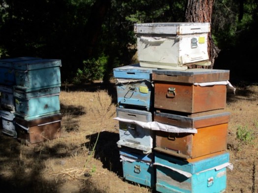
Traditionally this region is famous for fish, almonds and honey.

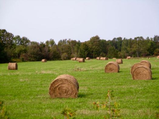
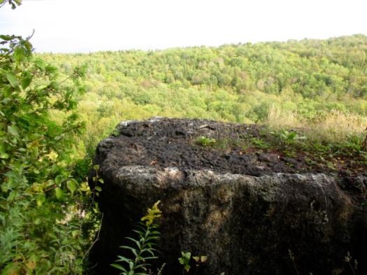
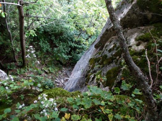
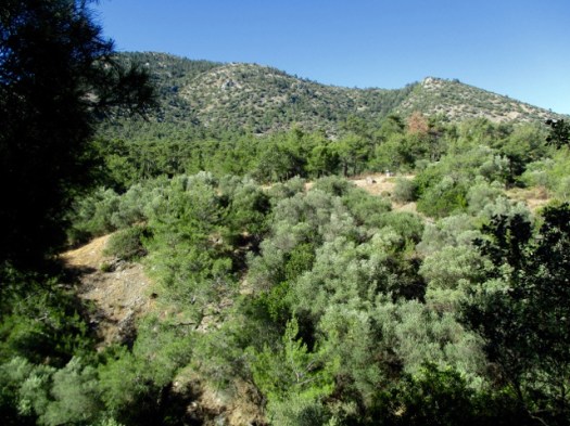
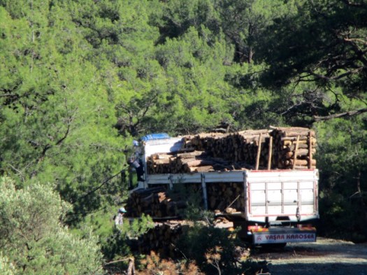
Most of the day was on logging roads. Good footing.

Alarmingly, the only water source was swarming with wasps. I couldn’t get close.

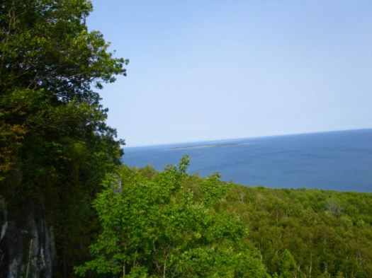
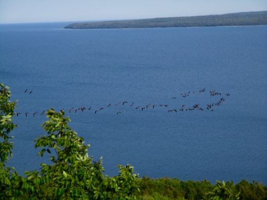
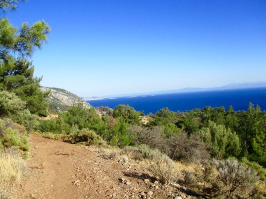
First glimpse of the ocean.

I was very happy to see my destination — Pig’s Hollow Camp (Dumuzcukuru). Wild boars visit occasionally.

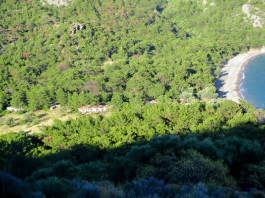
It’s something of a commune. When I was there 3 Turks were in residence. One had been coming for 6 years.

They take care of the garden. Keep the place clean. Maintain the solar power rig and water purification system.

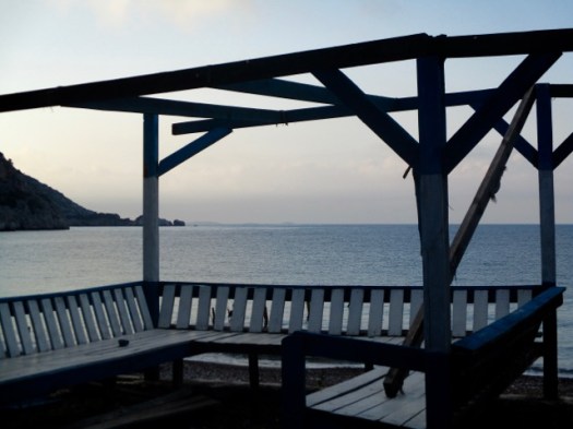
Anyone can stay and probably eat dinner with the guys. By donation.

My pasta dinner, home grown salad and wine were excellent. I was HAPPY to donate.

The guys told me very few Carian Trail hikers pass by. It truly has not caught on yet in Turkey though the nearby Lycian Way is booming. The Carian Trail was only launched in 2013.

I saw one big black snake. They guys said they see about one snake a day at the Camp.

My last night in the tent in Turkey. A nice spot. I had the beach to myself.

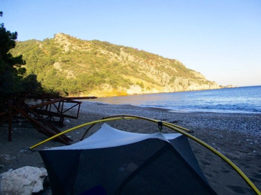
I read my kindle as dusk fell.

Trip report by site editor Rick McCharles | day 1 | day 2

who comes to drink from a bucket in the desert?

Hiking recently in dry southern Turkey, once again I realized how precious water sources are in the desert. In this case, Texas.

Click PLAY or watch it on YouTube.

Guy Hides Camera In Bucket Of Water To See Who Comes To Drink, And Result Doesn’t Disappoint

Colombia’s Lost City trek

Geoff Bedeck:

Swarms of aqua-blue butterflies, foaming waterfalls, hidden swimming lagoons, lime-green parakeets and chirping songbirds high up in the trees – this was what I’d come to find in the verdant Colombian jungle, along the winding trail to the Lost City.

HIKING COLOMBIA’S LOST CITY OF TEYUNA

One of our best hikes in South America.

Epic Grand Canyon Hike

Have you been following Peter McBride & Kevin Fedarko?

Epic Grand Canyon Hike: A 650-Mile Challenge (Part 1)

Epic Grand Canyon Hike: Frozen Shoes and Low on Food (Part 2)

I liked the 3rd and final instalment best.

Click PLAY or watch Thirst and Threats in the Godscape on YouTube.

Barber Loop Trail, Mojave CA

trip report by site editor Rick McCharles

I love Mojave National Preserve about an hour away from Las Vegas.

But I’d already done most of the popular hikes on previous trips.

Happily this time I discovered the Barber Loop Trail apparently the newest of the established trails.

Ideal for those sleeping at Hole-in-the-Wall Campground.

barber-peak-loop-trail-ca-map

It’s a loop so you can hike in either direction.

Barber Loop Trail, CA

Best is to start off into the desert, return via the Rings Loop Trail

Barber Loop Trail, CA

I was a bit disappointed. Standard flat desert.

Barber Loop Trail, CA

I’d hoped the trail would loop up on top of Barber Mountain. It doesn’t.

Barber Loop Trail, CA

There are a few things to see in the desert, of course.

Barber Loop Trail, CA Barber Loop Trail, CA Barber Loop Trail, CA

The best part is the section you could do separately as the Rings Loop Trail.

Barber Loop Trail, CA Barber Loop Trail, CA Barber Loop Trail, CA

more photos

If you want to know more, Bird and Hike posted an excellent trip report.

hike Wind Cave, Phoenix AZ

trip report by site editor Rick McCharles

  • 3 miles return
  • 812 feet elevation gain

My old friend Francis Tally took me to one of his favourite hikes out of Usery Mountains Regional Park near his winter home in Mesa, AZ.

Wind Cave, Phoenix AZ with Francis

Huge Saguaro cactus are the highlight. And the brazen chipmunks. 🙂

Francis told me an awful story of a hiker who fell into one of the OTHER types of cactus. It took paramedics 3 hours to remove enough spines just to transport him by ambulance!

Wind Cave, Phoenix AZ with Francis

We arrived on a Sunday morning to learn that weekend mornings are a zoo on this popular trail. It was difficult to find parking .

Wind Cave, Phoenix AZ with Francis

The trail itself is not all that difficult. Many children hike it.

Wind Cave, Phoenix AZ with Francis

The Wind Cave isn’t really a “cave” but rather an indent to shelter from the wind.

Wind Cave, Phoenix AZ with Francis

Almost everyone stops here. Francis and I scrambled on to the top of the mountain.

Finding some pink ribbons we decided to follow that off-trail route.

Wind Cave, Phoenix AZ with Francis

Here we be. The sprawl of greater Phoenix at our feet.

Wind Cave, Phoenix AZ with Francis

This is a terrific area for day hikes.

Wind Cave, Phoenix AZ with Francis

Thanks Francis. … I assume the name tag on your hat is to help authorities return you to your retirement park if you get lost. 🙂

Wind Cave, Phoenix AZ with Francis

Exiting the Park Francis took me over to a nearby gun range just below the Phoenix sign. I’d never seen one before.

Wind Cave, Phoenix AZ with Francis

They are LOUD.

related – Roads Less Traveled trip report

hiking White Sands National Monument

New Mexico

trip report by site editor Rick McCharles

Length: 2 miles (3.5 km), round-trip

The White Sands National Monument … at an elevation of 4,235 feet (1,291 m). …

It is the largest gypsum dune field in the world. …

The Monument is completely surrounded by military installations (White Sands Missile Range and Holloman Air Force Base) and has always had an uneasy relationship with the military …

Located on the northernmost boundaries of White Sands Missile Range, the Trinity Site can be found, where the first atom bomb was detonated. …

img_3676
Backcountry Camping Trail map

There are non-stop warnings about dehydration.

img_3679

Let’s go.

img_3681

I wore these lightweight camp shoes. They turned out to be perfect for the soft sand.

img_3682

It was VERY windy.

img_3683

Deserts are always interesting.

img_3685 img_3684

There are 10 backcountry campsites available.

img_3688

details on Backcountry Camping

Following my hike, I joined the sunset dunes walk led by a Ranger.

img_3695

It was very interesting and entertaining. This entire structure was created by that plant.

img_3697

Sunsets are wonderful in the desert.

img_3698

The Ranger noted that any President could remove National Monument status. Potentially this land could be given to the military. 😦

details – Backcountry Camping Trail

There’s a longer (5 mile) Dunes hike called the Alkali Flat Trail. If you want more.