Ausangate Circuit, Peru

One of our top 10 hikes in the world is the Ausangate Circuit in Peru.

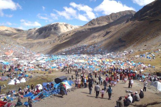
Best timing for 2013 is before or after Saturday May 25th to Tuesday May 28th. That’s the famous Quyllur Rit’i festival celebrated nearby.

Best book that flight right now. 🙂

13EXPLORER1_SPAN-articleLarge-v2It’s also called the Snow Star Festival.

We did both Ausangate and the festival in 2005.

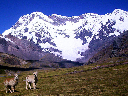
You circumambulate the highest peak in southern Peru, sacred Ausangate 6372m (20,905ft).

Four high passes between 4757m – 5165m.

70km (43.5mi) plus sidetrips, most hikers tent 4-5 nights. Hotsprings at start and finish of the trek.

alpacas

Check our recently updated information page on Ausangate.

Borrego Palm Canyon, California

by site editor Rick McCharles

My second visit to Anza-Borrego Desert State Park, I had time for a quick late afternoon day hike.

coyote

Right after I took photos of this coyote, hunting road kill.

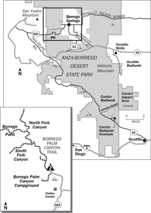
AnzaBorregoTrailMap

If you park in the visitor center, you don’t need any kind of State Park permit. That adds a mile or so to the walk.

Borrego Palm Canyon is the most popular trail in California’s largest state park. It leads to the third-largest palm oasis in California, which was the first site sought for a desert state park back in the 1920s.

It’s a beautiful, well-watered oasis, tucked away in a rocky V-shaped gorge. If you’re lucky, you may glimpse a bighorn sheep, in a canyon vegetated by California’s only native species of palm. The park receives many visitors due to its proximity to the metropolises of Southern California, and the trail is relatively easy to access and hike (three miles round trip with 600′ elevation gain). …

EveryTrail

trail

oasis

I got lost on the “alternate” route back.

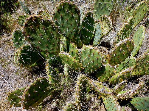
cactus

more photos

related – official website – Anza-Borrego Desert State Park

fatal mountain goat attack 2010

A federal judge has dismissed most of a widow’s claims against the federal government after her husband was killed by a mountain goat while hiking in Olympic National Park …

Robert Boardman, 63, of Port Angeles was trying to protect his wife and other hikers when the 370-pound male mountain goat fatally gored him in the thigh on a trail at Klahhane Ridge on Oct. 16, 2010.

Robert

The goat is believed to have been one that harassed hikers in the park for years …

The mountain goat then stood over Boardman for about 30 minutes, staring and pawing at the ground, making it impossible for … hikers to reach him, according to park ranger reports of the incident.

Boardman died from blood loss in about five minutes, the reports said. The goat was later shot and killed by a ranger. …

A necropsy on the animal showed it was healthy and in rut for the mating season …

After Boardman’s death, park rangers warned hikers to keep at least 50 yards away from goats and not to urinate on trails.

The park said the urine creates a long salt lick, attracting the animals. …

Federal judge dismisses most lawsuit claims in fatal mountain goat attack in Olympic National Park

Lake Angeles trailhead

Park Rangers have shot aggressive Elk in the past. But this is not typical of mountain goats.

I’m content the law suit was not successful.

This death has changed regulations, however.

… an Olympic National Park ranger operating under new mountain goat management rules shot and killed a mountain goat that had refused to leave a campsite near the park’s Upper Royal Basin for three days. …

related – What should you do if you’re attacked by a mountain goat?

PCT day 2 – Mount Laguna back to Lake Morena

trip report by editor Rick McCharles

I knew next to nothing about PCT hiking strategy.

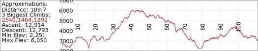
But it seemed a no brainer to catch one of the many available Angel rides up to Mt Laguna at mile 43. And hike downhill to Lake Morena at mile 20 … rather than uphill.

A_elev

Yet very few hikers did so.

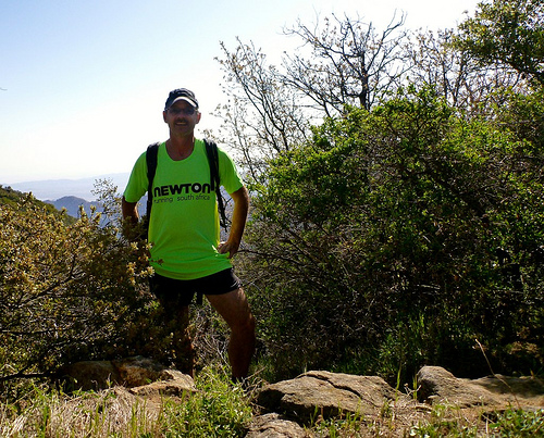
Rick

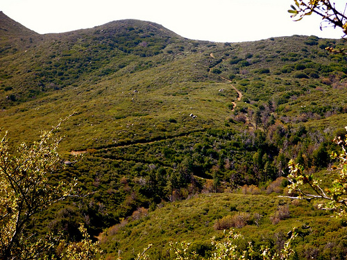
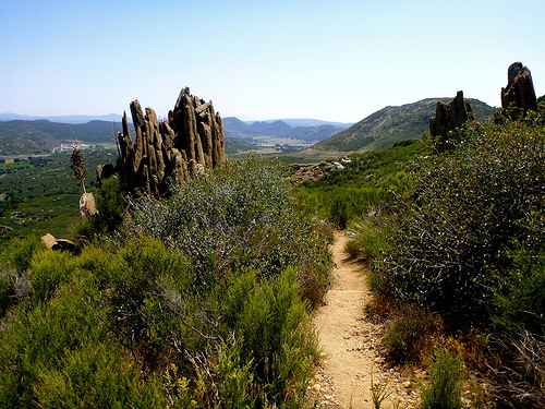
Beautiful country.

trails

PCT

cactus

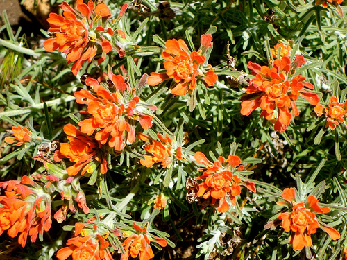
flowers

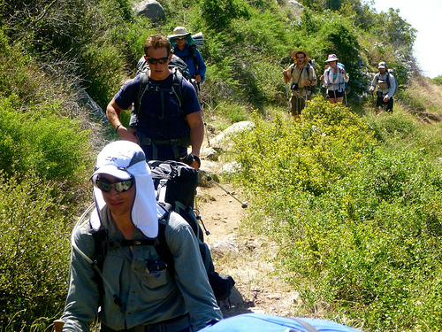
I passed hundreds of sweaty, hot thru hikers climbing. It was interesting to check their gear. And their hiking systems.

hikers

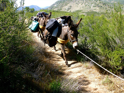
No mountain bikes are allowed. But trail riders and beasts of burden are welcome.

beasts

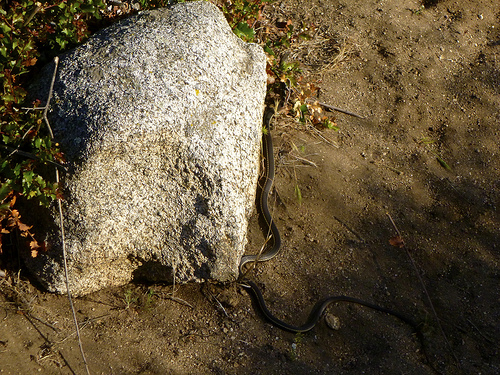
Several hikers had seen Rattlesnakes. I saw 3 of these guys. A gopher snake, I believe.

click for larger version

It seemed to take FOREVER to get back to the Kick Off campground. Yeesh.

campground

I grabbed a shower. Then enjoyed free chile provided by Trail Angels.

Feet sore. Some blisters. Confidence shaken. … I wasn’t at all sure I’d be able to hike day 3. 😦

more photos

day 4 – Otter Trail, South Africa

Trip report by site editor Rick McCharles

day 0 | 1 | 2 | 3 | 4 | 5 | info page

Day 4 = 13.8km (± 6 hours) – Oakhurst huts – Bloukrans crossing – Andre huts

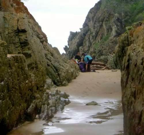
Crossing the Bloukrans River is the crux of the trip. It’s extremely important to arrive there before low tide.

At low tide in good weather, you might barely get your shorts wet. But people have drowned here. 😦

Low tide was 9:19am on our day. It takes 4-6 hours to get there.

Therefore, Rod and Jess left at 03am.

The Marques family at 05:30am.

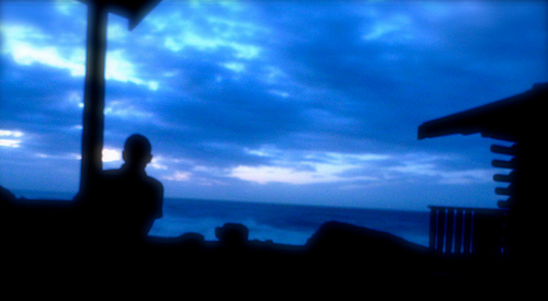
early morning

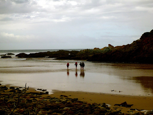
It was 6:45am, in day light, as I walked away from camp.

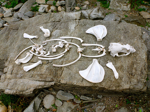
A mad rush to get to the river crossing in time, I didn’t take many photos that morning. But had to stop for this picture.

Bones

We all managed our time well, arriving at the infamous Bloukrans river crossing right at low tide, 09:19am.

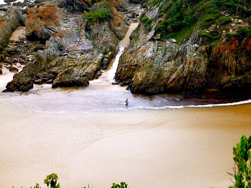
From above, I saw Scott checking route A, by far the BEST way to cross the river.

Bloukrans crossing

Conditions were perfect.

Low tide. Low river. No wind. 🙂

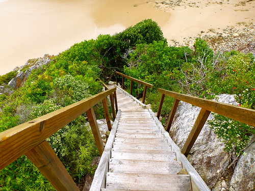
stairs to Bloukrans

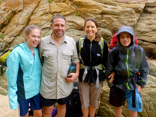
This family had crossed the Bloukrans the year before in far worse conditions.

family Bloukrans

smiling

They found it EASY this time.

Route A has you wade out via this sandy surge channel.

surge channel

By contrast, the swim and exit via Route B (mid-tide) looked horrorshow.

You are supposed to haul yourself up out of the freezing Indian Ocean on one of two ropes.

This one gets you to the low traverse.

rope Route B

The other rope leads you to climb up the cliff, instead.

… I wouldn’t want to try either.

There are Routes C and D for very high water. 😦 … Don’t contemplate either.

Best wait up to 12 hours for the next low tide. Take Route A.

If you are too late in the day, be aware that there is a land route up and over the river known by Rangers. Telephone if you want information on that.

Once across the Bloukrans, you are much relieved. Guaranteed to finish the Otter. It’s easy from there.

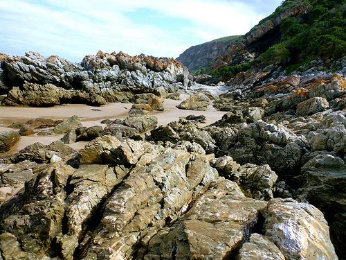
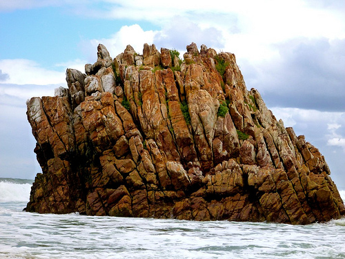
rocky shoreline

Studying the near useless map given you at the start. And the look of the coast, … I gambled that it might be possible to stay low and make it to Andre huts along the coast.

After all, it was low tide. Very early morning.

Why not give it a try?

Sadly, the very last headland is impassable. I made it this far — then had to either backtrack. Or scramble up the cliff to regain the trail.

Rick headland

I scrambled.

Some exposure. Not recommended.

Andre

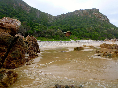
Arriving at the Andre huts early, we had plenty of time to explore.

rocky

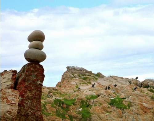
bird rock

Over 5 days we saw no big marine life. But plenty of birds.

shells

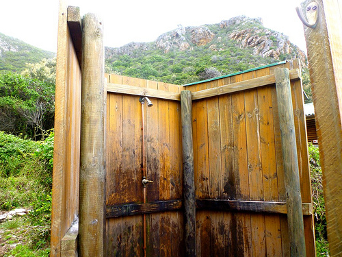
Check the standard facilities.

cold shower
cold shower
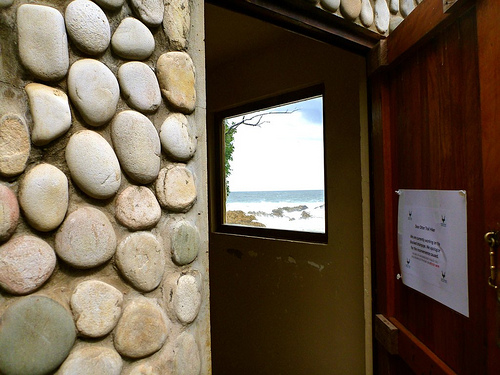
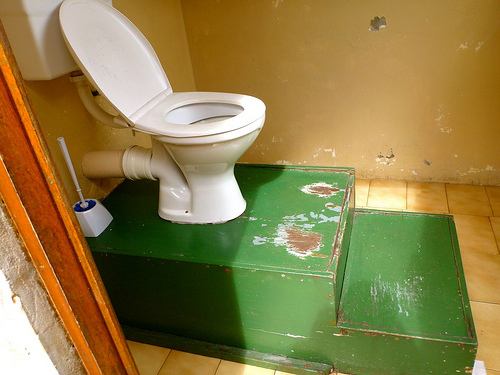
loo with a view
loo with a view

toilet

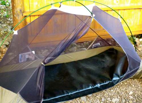
My last night. Luxury mattress.

tent mat

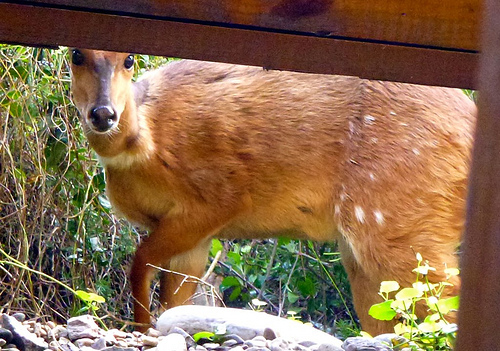
This was the only local visitor to my tent over 5 days.

deer

A female “buck“, I assume.

We celebrated our last evening with a bonfire.

bonfire

Washed completely away by morning.

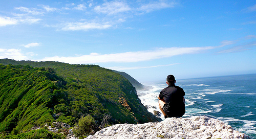
Goodnight Otter.

Otter

more of my photos from day 4

… on to day 5

day 2 – Otter Trail, South Africa

Trip report by site editor Rick McCharles

day 0 | 1 | 2 | 3 | 4 | 5 | info page

Day 2 = 7.9km (± 4 hours) – Ngubu huts to Scott huts

stairs

Easy day. No rush.

I stopped often to read and contemplate.

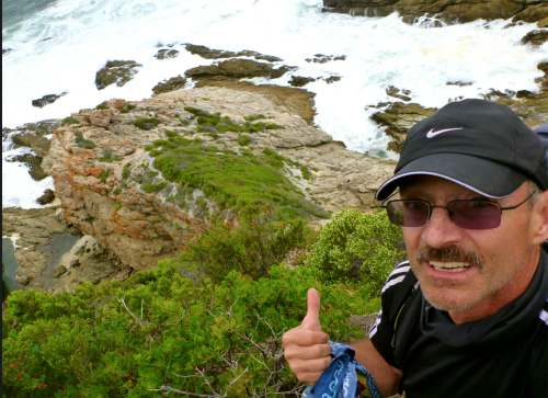
Rick

At one conspicuous rocky outlier — the Skilderkrans Quartz Promontory — I left a Summit Stone.

summit stone

This place is remote.

Looking back.
looking back

Looking ahead.
looking ahead

You’d swear you were alone on a lonely coast.

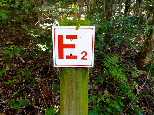
Yet there are emergency escape routes all along the Otter marked E for Evacuation.

escape route

I caught up with the Marques family stopped for lunch and a swim.

lunch

Like so many similar coastal hikes, the water is stained with tannin.

water tannin

That’s not dangerous to drink. But it does have an interesting flavour. 🙂

At one time, the trail was much better signed for distance.

Otter KM signage

Many of those have gone missing over the years.

I’ve got this trip tagged jungle.

jungle

In many parts it’s impassable without following human or game trails. Dense fynbos is the natural shrubland or heathland vegetation unique to this part of the world.

This ocean is cold and choppy. That didn’t stop Scott.

swimming in ocean

The family had barbecue once again. I shared some of their chicken. And ate my usual meal — smashed potatoes.

mashed spuds

more of my photos from day 2

Sadly, I missed stopping at Bloubaai beach, the recommended lunch spot. I
a detour off the main trail.

beach

… on to day 3

day 1 – Otter Trail, South Africa

Trip report by site editor Rick McCharles

day 0 | 1 | 2 | 3 | 4 | 5 | info page

Day 1 = 4.8km (± 2 hours) – Storms River reception to Ngubu huts

No rush day 1.

I relaxed in the morning. And enjoyed 2 MORE restaurant meals at Storms River Mouth Restcamp, making the obligatory day hike to the Suspension Bridges.

You must register for the Otter at the Park entry gates, not down at the campground — as I had hoped. Carrying my hiking pack, I started rolling the rest of my luggage UP the steep hill to the Park office.

Not one vehicle stopped to offer me a lift. (Best not try to hitchhike in South Africa.)

I did spot a bushbuck crossing the highway. Then a large troop of baboons, the first I’d ever seen in the wild.
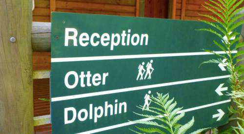
Reception

Happily the Registration folks let me store my excess luggage for the 4 nights I’d be on the Trail. …

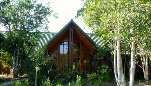
reception building

Registration is quick and efficient. The safety video has been out of order some months, so was not required for me.

Each hiker is given a poor map with trail description, suggestions, bird list, etc. Most critical on that one page document is instruction on how to most safely cross the Lottering and Bloukrans rivers.

You are also given tide tables (essential) for the dates of travel.
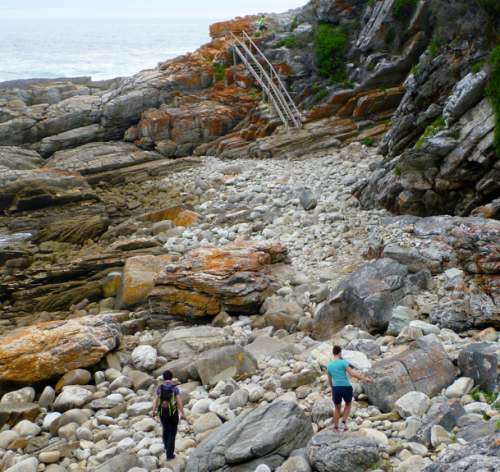
COASTAL BOULDERS

Start of the Otter, you share the trail and coastline with (many) day hikers.

Requires some boulder hopping with heavy pack.

This trail, 50-years-old in 2013, is rugged but very well maintained. There’s plenty of help. Steps. Bridges. Even a few ropes.

You can’t get lost. Follow the clawless otter.
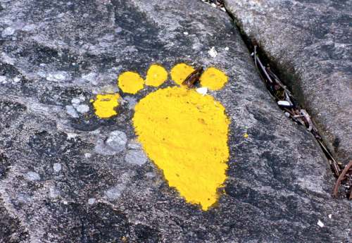
clawless otter

Water is plentiful.

WATERFALL

You are advised to treat all water. I did. Many locals don’t bother.

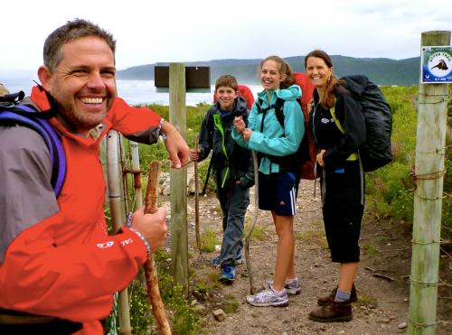
It took no time at all to reach the first camp. I was pleased to meet Steven and Kimberley, Scott and Claire Marques from Zimbabwe.

Marques

Rod and Jess, holidaying from the States, were the other 2 hikers starting same day. They had seen this Puff Adder sunning on the rocks.

puff adder

Rod had grown up in this region. He’d never seen larger.

It’s not uncommon to see snakes on the Otter Trail. And throughout South Africa. For more information, ask at registration.

hut night 1

There are two huts, toilet and cold shower at all 4 camps, each mandatory stops. Each of the two huts has 6 bunk beds with firm mattresses. Hikers must provide their own blankets/pillows/sleeping bags etc.

Happily the Marques family got their own hut. Rod and Jess got their own hut. And I tented under the mesh, protected by a roof in the dining hut. Normally tenting is not allowed, but my set-up certainly did no damage to the environment.

tent night 1

Of 12 spots available, only 7 hikers arrived to start. Many folks book a year in advance. There are no refunds. And its not allowed to replace those who don’t arrive.

A permit for the Otter is the most difficult in South Africa. It’s a shame they haven’t modernized registration procedures to get more folks on to the adventure.

A few tent sites should be added to each camp, too.

chicken

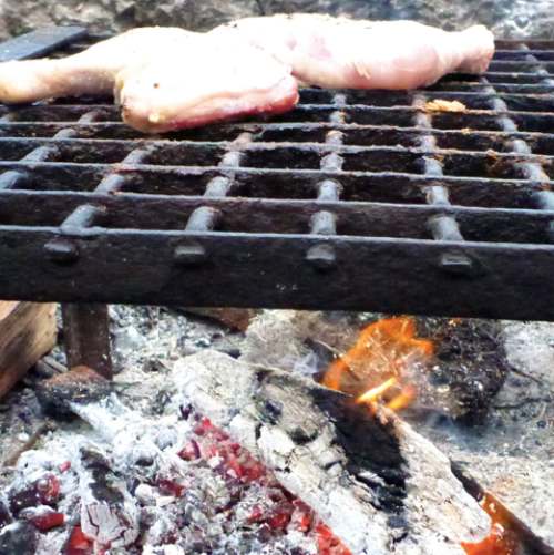
The one thing that unites ALL South Africans is murdering and cooking up animals out of doors.

The word braai (plural braais) is Afrikaans for “barbecue” or “grill”. I carried in frozen chicken.

Sanparks keeps a supply of wood dry underneath the huts. In fact, they were delivering wood fresh each day when we were there.

Two mooching genets made an appearance at dusk. Seems they’ve been gifted — or stolen — grilled meat in the past.

Lightning quick at dusk, we couldn’t get photos. They were gorgeous, though, with both stripes and splotches.

Here’s what they look like.

genet

Finishing the wine I’d carried in, it was an early night. Dark at 6:30pm, the Southern Cross and Milky Way were stunning.

We were all asleep by 8pm. The only sound the crash of huge waves.

ocean waves

more of my photos from day 1

… on to day 2

4 bat-eared fox

Our guide at Addo Elephant National Park, South Africa, had only seen this reclusive animal once before over the past 7 years.

It’s not typical behaviour for them to appear so brashly at at water hole middle of the day.

Click PLAY or watch my video on YouTube.

The bat-eared fox is a canid of the African savanna, named for its large ears. …

… also referred to as big-eared fox, black-eared fox, cape fox, and Delalande’s fox …

… an insectivore that uses its large ears to locate its prey. 80–90% of their diet is harvester termites. When this particular species of termite is not available bat-eared foxes feed on other species of termites and have also been observed consuming ants, beetles, crickets, grasshoppers, millipedes, moths, scorpions, spiders, and rarely birds, small mammals, and reptiles. The insects they eat fulfill the majority of their water intake needs. …

… the bat-eared fox has a reversal in parental roles with the male taking on the majority of the parental care behavior. Females gestate for 60–70 days and give birth to litters consisting of 1 to 6 pups. Beyond lactation, which lasts 14 to 15 weeks, males take over grooming, defending, huddling, chaperoning, and carrying the young between den sites. …

where’s Dead Burro Canyon?

… I really need to start hiking with a GPS. 😦

I set out into the Arizona desert with typically vague details I found online.

Dead Burro Canyon Trail is a loop hike for the adventurous around a mountain block through a deep scenic canyon in Havasu National Wildlife Refuge, a wilderness setting where very few trails exist. Look for wild burro and Bighorn sheep! …

As expected, I was quickly lost.

One wash looks much like the next.

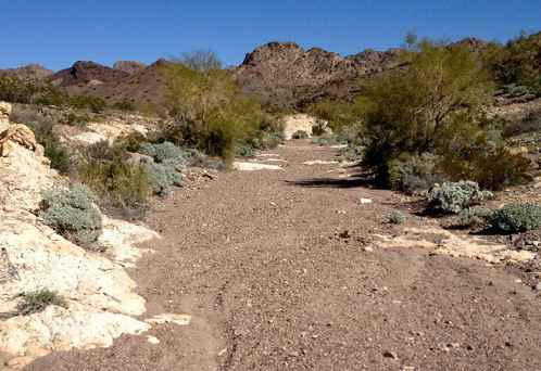
wash

On the other hand, I enjoyed a solo morning off trail. It’s all good in the desert outside Lake Havesu, Arizona in February.

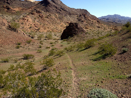
desert trail

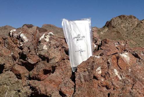
I dropped a Summit Stone atop one random stone mountain.

Summit Stone

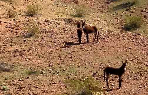
The highlight was finally spotting wild burros. LIVE ones.

burros

There were over 2000 of these beautiful animals running wild in Arizona as of 2010. They are regulated by the Wild and Free-Roaming Horses and Burros Act of 1971.

more photos

If you actually want to reach Dead Burro Canyon, my advice is to download the GPS track.