attacked by a Grizzly

YEESH. 😦

Todd Orr:

I took an early morning hike in the Madison valley (Montana) to scout for elk. Knowing that bears are common throughout southwest Montana, I hollered out “hey bear” about every 30 seconds so as to not surprise any bears along the trail.

About three miles in, I stepped out into an open meadow and hollered again. A few more steps and I spotted a sow Grizzly bear with cubs on the trail at the upper end of the meadow. The sow saw me right away and they ran a short distance up the trail. But suddenly she turned and charged straight my way. I yelled a number of times so she knew I was human and would hopefully turn back. No such luck. Within a couple seconds, she was nearly on me. I gave her a full charge of bear spray at about 25 feet. Her momentum carried her right through the orange mist and on me. …

read more on Facebook

Click PLAY or watch it on Facebook.

hiking & paddling Gates of the Arctic, Alaska

… to Anaktuvuk, float southwest on the John River, hike west to the Alatna River, float southeast on the Alatna to access the Arrigetch, cross the Arrigetch, float northwest on the Noatak River, hike southwest to the Ambler River, and float west to Ambler. 400 miles in 19 days. …

Gates of the Arctic Traverse, Anaktuvuk to Ambler

DCIM100GOPROGOPR0526.

akp_amb_lm__1282

Click PLAY or watch it on Vimeo.

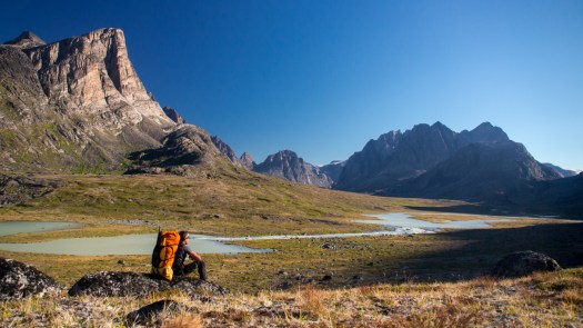
5 weeks hiking, paddling Greenland solo

Willem Vandoorne has done a number of the world’s most difficult long hikes. He’s just back from Greenland.

… which was without any doubt the most beautiful I have ever made and which has impressed and touched me deeply. The feeling which I had during those weeks in the wilderness is hard to explain. As I struggled through boulderfields and moraine, watched the sun set from mountain with views unknown to human gaze, and slalommed along countless muskoxen, I no longer felt like a spectator of any kind in this vast wilderness, but was an integral part of it, obeying to the same rules and laws of nature as any animal out there.

My trip was blessed with sensational weather conditions – during the first 4 weeks of the trip I had only a few overcast days with some rain and a few mornings with sea fog – all the rest was just blue skies and warm temperatures. I hiked over 80% of the distance in t-shirt …

BACK FROM GREENLAND

OLYMPUS DIGITAL CAMERA

cycle hiking Mayne Island

Cycle hiking the Gulf Islands – trip report by site editor Rick McCharles

Mayne Island is a rustic 21-square-kilometre (8.1 sq mi) island in the southern Gulf Islands chain of British Columbia. …

… a population of 1071. Mount Parke in the south-central heart of the island is its highest peak at 255 meters (837 feet). …

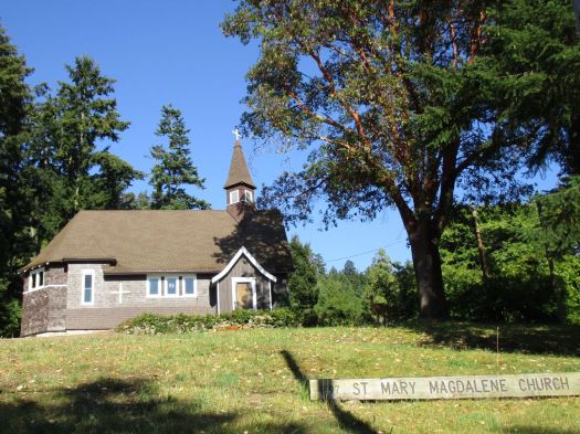
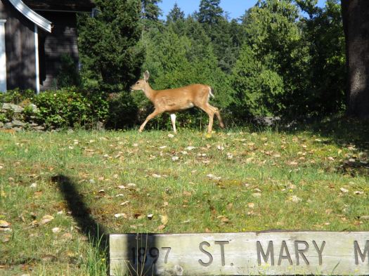
I arrived early enough on Mayne to do some sightseeing. First stop, historic St. Mary Magdalen, Anglican Church.
IMG_1712

IMG_1713

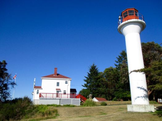
Nearby on Georgina Point is the most scenic light station on the island, built 1885.
IMG_1717

IMG_1718

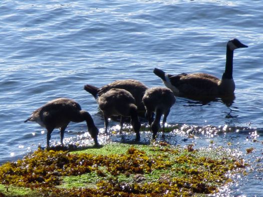
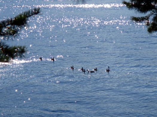
One species not endangered anywhere. Canadian geese. 🙂
IMG_1719

IMG_1720

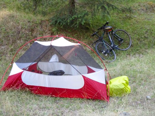
The previous two nights I was hidden away in the trees. But this wild camping tent site was worthy of a photo. Perfect.
IMG_1723

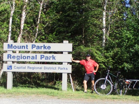
I packed up next morning, stashing my panniers in the the trees. And cycled to the most popular hike on the islandMount Parke.

IMG_1727

I did a loop: Haliday Ridge Trail to the (appropriately named) Old Gulch Trail to the Lowland Nature Trail. My best hike in the Gulf islands, so far.

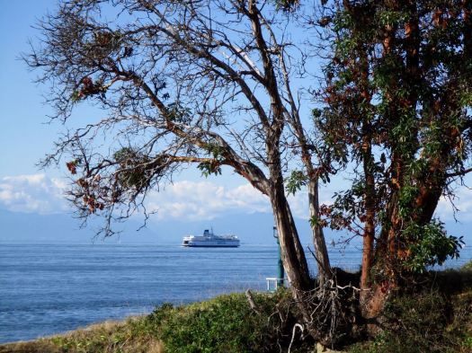
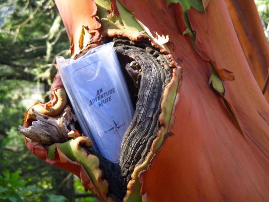
On the Haliday ridge I left a Summit Stone in an Arbutus tree. It seemed appropriate.
IMG_1733

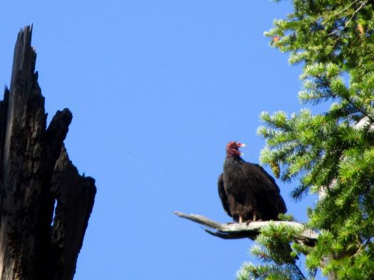
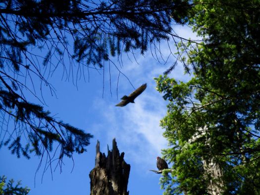
A highlight was watching Turkey Vultures pretend to be Bald Eagles.
IMG_1750

IMG_1748

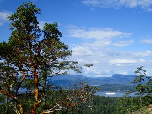
The vistas are magnificent up here. My best weather, so far.
IMG_1751

I was starving by the time I got down off the ridge. Happily Farm Gate Store is located near the trailhead. I had a burrito, coffee and muffin. All unbelievably healthy. 🙂

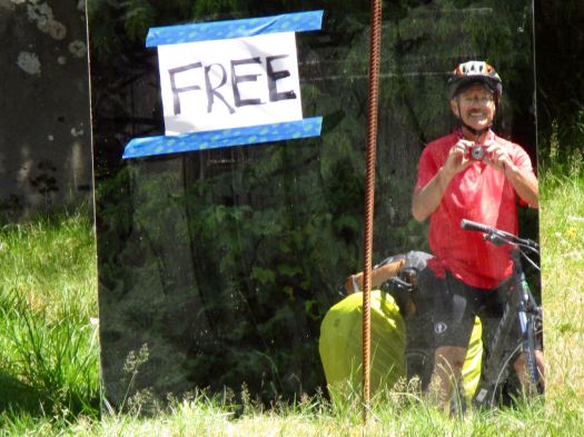
The rest of the day would be easy.
IMG_1770

I peddled on to Campbell Point.

IMG_1763

And was quite impressed with the facilities at the Adachi Community Pavilion.

It was here that the Kosumi family lived. Until 1942 when the Canadian government rounded them and all the other Japanese immigrants on the island and moved them to an internment camp. 😦

Today, the Japanese Gardens, located near Dinner Bay, are dedicated to the memory and legacy of the Mayne Island’s Japanese-Canadian community.

Of all the beautiful retirement homes I’ve seen so far, this one caught my eye. Elegant simplicity.
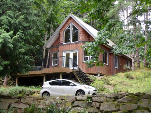
IMG_1774

So … in the end I did only the one big hike on Mayne. Island Parks and Recreation does produce a brochure. But most of the other walks are very short.

After all this good weather it began to POUR liquid sunshine while I waited for the ferry to Victoria.
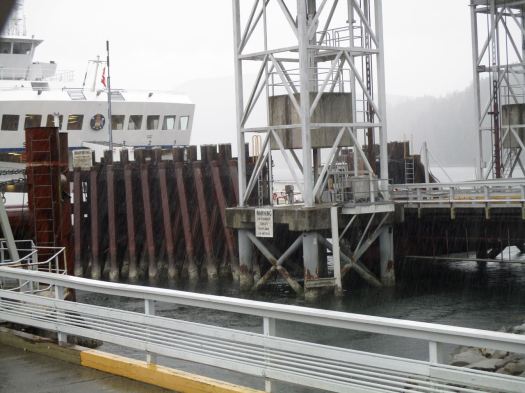
IMG_1776

Hmm. What does a cyclist do in the rain?

cycle hiking Pender Island

Cycle hiking the Gulf Islands – trip report by site editor Rick McCharles

Pender Island is home to about 2,250 permanent residents …

North Pender and South Pender, which are separated by a narrow canal originally dredged in 1903. In 1955 the islands were connected by a one lane bridge, as it remains today.

I arrived Pender very tired. And worried. My guidebook said it was one of the hilliest islands. A local cautioned me that many of the steep decent had dangerous right angle turns at the bottom.

IMG_1666

IMG_1668

Arriving we had a bit of excitement. Two bald eagles. They spend a lot of time on this perch.

IMG_1671

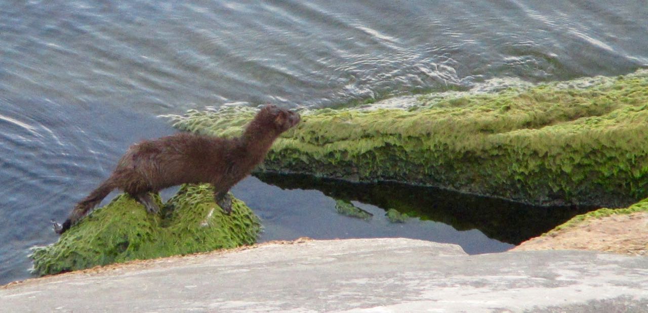
So far on this trip I’d seen plenty of deer. Quail. Bald eagles. Some sort of mink. Turkey vultures. The largest garter snake of my life. …

I rode directly to the Roe Lake trailhead. Wild camped. Too tired to eat, I watched Game of Thrones on my laptop until tired enough to sleep.

Did not get out of the tent until 8am next morning. That’s sleeping-in for me this summer. I packed up. Then walked to the trail.

It was far better than I had anticipated.

IMG_1678

IMG_1679

IMG_1681

IMG_1684

At the start you might expect you could mountain bike that 1.5 km loop. Not so. There are some very rough sections.

Psyching up, I headed (literally) for the hills. But before I got far I happened upon Vanilla Leap Bakery Cafe. One of those west coast hippie establishments enjoyed by all.

IMG_1686

Free wifi. Good coffee. I ended up staying perhaps 90 minutes.

THEN I (literally) headed for the hills. And they are rough. I pushed my heavy bike up most of them.

But I managed to cross the waters over to South Pender. I wanted to climb Mt Norman, the highest point on the islands at 244m.

It’s a short, steep slog up to a gorgeous viewpoint.

IMG_1689

IMG_1691

On the way down I managed to miss a turn, ending up at a different trailhead on Canal Road. Rather than admit my mistake, I walked Canal Road back to my bike. Creating my own loop trail. (Not recommended.) 🙂

Again I needed to psych up for the return to the ferry. On Pender it’s uphill each way.

I should have stashed the bike in the trees and stood by one of the Car Stops. These are official alternatives to hitch hiking on some Gulf Islands.

car stop

Rather than a bus, locals are encouraged to stop and give free rides to anyone standing at one of these places. Good idea. At your own risk, of course.

With time to kill before my 4:20 ferry I hung out at Port Browning Marina. Very posh.

IMG_1699

On to Mayne Island. 🙂

IMG_1707

cycle hiking Galiano Island

Cycle hiking the Gulf Islands – trip report by site editor Rick McCharles

Galeano Island is 27.5 km long, 6 km at its widest point, and 1.6 km across at its narrowest point …

… population of 1258 inhabitants. …

GalianoMap

Seeing a campground an hour out from the ferry landing at Sturdies Bay, I went to check out Montague Harbour Marine Provincial Park.

Nice setup. But the cost was $25 / site for up to 4 people. I prefer the pricing model $10 / person.

So I turned my bike around and wild camped nearby.

In the morning I packed up early and rode back to the campground to make coffee. There’s a good hike there called the Gray Peninsula Trail. About 2km.

IMG_1617

IMG_1619

IMG_1622

IMG_1625

I cycled on to the Pebble Beach hike trailhead. Breakfast was cold pizza on this bench.

IMG_1626

You reach the coast at Cable Bay. Then saunter over to Pebble Beach.

IMG_1629

IMG_1631

IMG_1632

IMG_1634

IMG_1635

On a trail map it looked like I could cycle a mountain bike trail to Laughlin lake, the largest body of water on Galiano. That’s a bit risky on a hybrid bike. Happily, it worked.

IMG_1639

IMG_1638

Four guys in this boat arrived for a picnic. Boat and kayak are the best ways to get to Dionisio.

IMG_1657

I returned via the dead end Bodega Beach Drive seeing only 2 vehicles in 3 hours. An ideal place to cycle.

The best hike on the island was yet to come – Bodega Ridge.

Bodega started much like any other hike, a welcoming soft temperate rain forest trail.

IMG_1659

The fun starts when you get up on the ridge. A steep drop with marvellous views.

IMG_1662

IMG_1664

2-bodega-ridge-provincial-park

Galiano was a hard day for me. I could barely keep my eyes open on the ferry to Pender.

IMG_1665

I’d like to return one day. Kayak to camp at Dionisio. And climb Mt Galiano, the highest point on the island.