- up to 8 days
- up to 120km (74.5mi)
- guided
Karen Watkins:
The … Naukluft hiking trail is regarded as one of Africa’s toughest. I went along to find out why. …
Travel Namibia News (2012)




Best hikes, treks, tramps in the world.
Karen Watkins:
The … Naukluft hiking trail is regarded as one of Africa’s toughest. I went along to find out why. …
Travel Namibia News (2012)
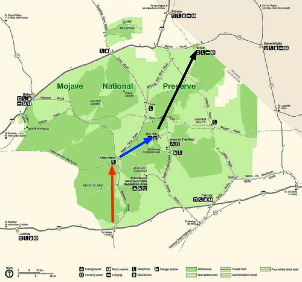
Next time I get to Vegas I plan to cross the Mojave National Reserve south to north.

I’ll start from highway 40 heading towards the Granite Mountains. Refill at Kelso Depot. Hike on to Mid Hills Campground , refilling my water bottles. And exiting at Nipton.
Surprisingly, water will not be a problem.

I won’t count on natural springs, however. Let’s leave that for the wildlife.
I’ll carry the Tom Harrison map. Wish me luck.
trip report by site editor Rick McCharles
Like many others driving between Phoenix and Tuscon, I’d always wanted to climb this unique volcanic plug.
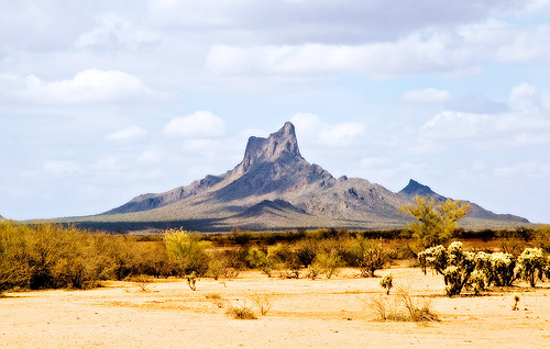
It looks challenging, but I found it not too bad.
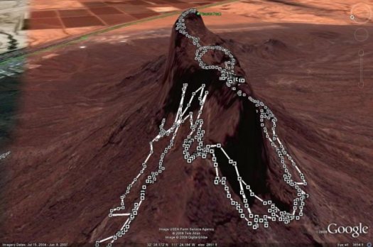
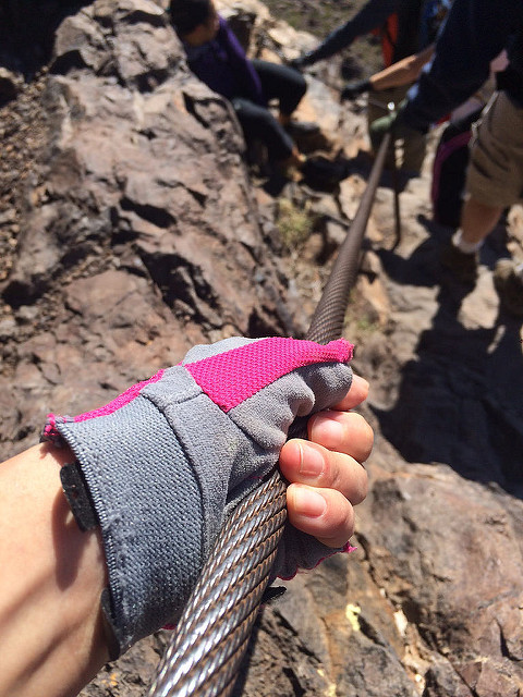
It’s not via ferrata, but there are cables and other assistance everywhere needed.
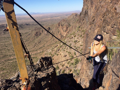
Bring gloves.
As a former gymnast, I was certainly overconfident on arrival at the trailhead.
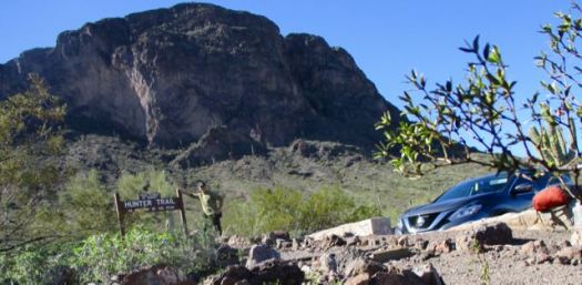
I’d already embarrassed myself pronouncing the name of the peak as Pikachu. That’s wrong.

Though one hiker cried 4 times getting up and down, I found it fun.
I love the giant, individually unique saguaro cactus.
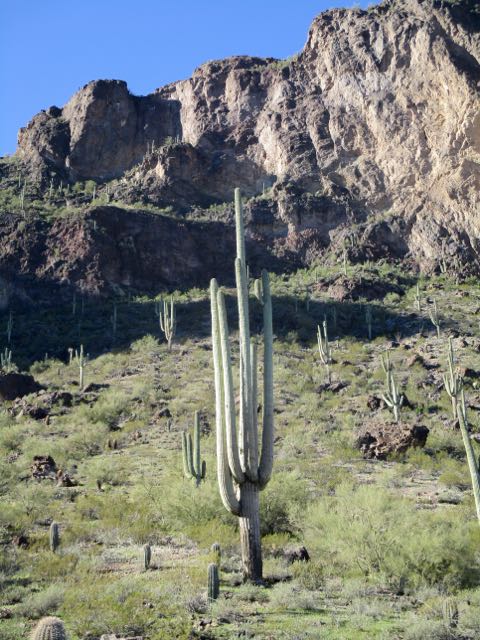
On the way up it’s difficult to imagine there’s actually a hiking route.
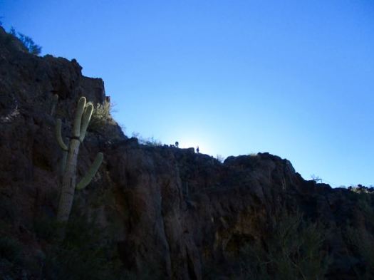

This beautiful day attracted many to the peak. Everyone made it to the top so far as I could see. Myself included.
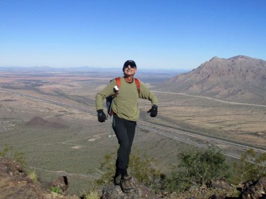
Certain birds and animals make a good living waiting on lunch crumbs here.

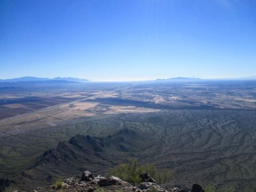
The vista from the top is not all that spectacular.

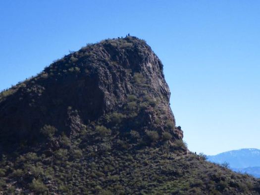
I made a sidetrip to a smaller peak. Here’s the vista looking back to the summit.
Still, Hunter Trail to Picacho Peak is unique and interesting enough to be added to our list of best hikes in North America.
If you have two vehicles consider climbing up via Hunter Trail, returning via Sunset Trail.
trip report by site editor Rick McCharles
Guadalupe Mountains National Park
The Parks recommends a (strenuous) 6-8 hours. In a rush to finish before dark, I did it in 4.5 hours.
Trailhead is the Pine Springs Visitor Center. I checked in with a Ranger on trail conditions. She neglected to tell me there was a LOT of snow up in the Bowl.
My guidebook recommended to climb up via the Tejas trail.


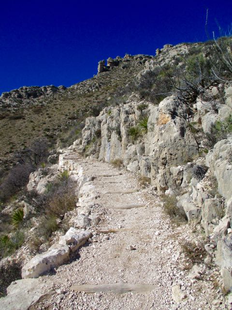
A very easy way gain all that altitude. Very well maintained.

Up top in the bowl it looked like the Canadian winter I’d fled.
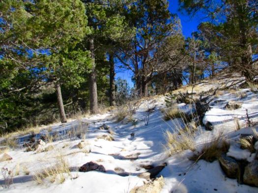
I met only one other hiker. She too was surprised with the snow.
It’s a different ecosystem up here.
A beautiful coniferous forest of pine and Douglas fir … awaits those who are willing to hike up 2500 feet from the Chihuahuan desert below.

Close to the turnoff for Hunter’s Peak I saw a herd of mule deer. I’m not sure why they are so high this time of year.
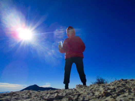
Behind me is the highest point in Texas – Guadalupe Peak. I left a Summit Stone.
Great vistas.
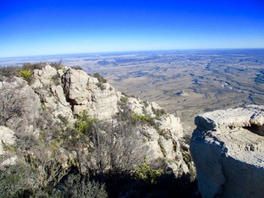
From there I needed to either backtrack. Or finish the loop.
Signage in Guadalupe Mountains National Park is not nearly as good as in Big Bend. The free Parks trail map is not detailed enough to do many of the hikes it recommends. Get a better map.
Happily I did find the sign to Bear Canyon Trail. The descent was much different — and much steeper — than how I got up.

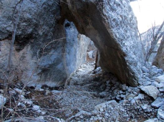
I saw some strange wreckage. An airplane crash, I assume.

It was much quicker down than up.
In fact, for most people it’s better to climb on Bear Canyon, descend on Tejas. Easier on the knees. We’ve added The Bowl to our list of best hikes in North America.
related – Backpacker – Guadalupe Mountains National Park: The Bowl
trip report by site editor Rick McCharles
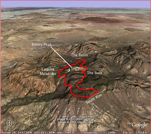
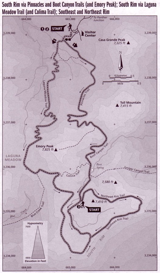
I feel the best hike in Big Bend National Park for most people is one of the South Rim Loop options. You can do those as long day hikes, but I’d recommend one night in a tent on the Rim.
Pick up your camping permit ($12 / night 2017) at the Ranger station near the Chisos Mountain Lodge. There’s a good store for last minute provisions.
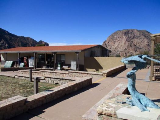
The trailhead is right there. I started up the Pinnacles Trail.

Everywhere is scenic up this high. Great vistas in every direction.

A hiker showed me a photo of a bear he’d seen earlier in the morning. Cougar and bear sightings are frequent. They are confined to a small geographic area.
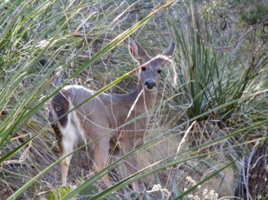
Cougars hunt the Carmen Mountain Whitetail. For the deer it’s either cougars in the National Park or hunters outside the Park.
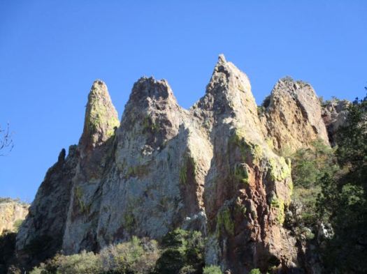
Are these the Pinnacles?
Weather was good so I opted for the Emory Peak side trip. It’s the highest mountain in the Park.
Emory is dangerous. A teenager fell 450 feet to his death in 1999. Many turn back at the final scramble to the summit.
For me it was FUN getting up.
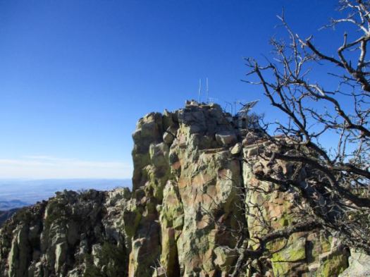
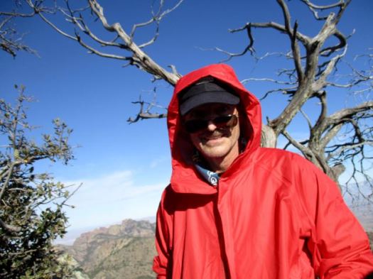
I left a Summit Stone. Enjoyed the vistas … though it was very windy.

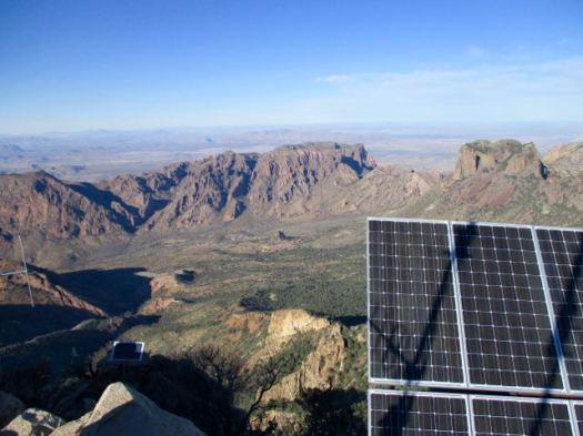

Down climbing is often more difficult. It is here.
Foolishly I’d not really paid any attention to my line on the way up. Several times I had to backtrack on the descent to find the safest route.
I picked up my pack on getting back to the Pinnacles Trail. Then carried on up the Boot Canyon Trail.

I’ve never seen so many Bear Boxes before. As a result, Big Bend has very few problem bears.
It was late in the day. I needed to hurry to get to the South Rim if I wanted to set up my tent in daylight.


There are standing pools of water here. You don’t want to drink from them.
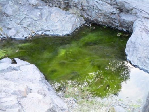
I started with 3.5 litres of liquids.
Big Bend does an excellent job maintaining trails. #respect

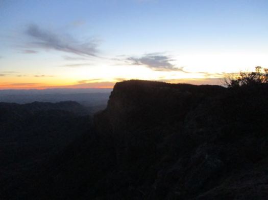
At last light I reached the most scenic part of the trip.

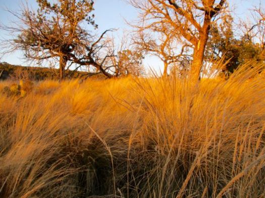
Here’s the vista from the S.E. Rim.

In January it was very cold this high. And very windy. I had to cocoon in my sleeping bag to stay warm enough.
I woke early next morning. The weather forecast was for rain. I hurried down over the Laguna Meadows Trail taking only about 2 hours to complete the loop.
Recommended.
related – trip report – Patrick Dearen 2007
trip report by site editor Rick McCharles
Note: We were there Jan 2017. Accessibility may change depending on what happens with Trump’s border wall promise.

The nature trail crosses Terlingua Creek, climbs several flights of ramps and stairs and then descends into the canyon along the Rio Grande. At this point the canyon walls loom over 1500 feet above the river below. …
In my haste to get over to the Canyon, I took off my shoes and waded Terlingua Creek.

That turned out to be a mistake. Everyone else found a way to cross keeping their feet dry.


Nobody regrets taking this short hike.
And I did finally get a photo of a desert cottontail. Or is it a small jack rabbit?

The best way to see the canyon is by raft or canoe. Local outfitters offer trips from one to three days in length when conditions allow, and river runners of intermediate or better skill level often go on their own. …
Even better for me would be the difficult Mesa de Anguila hike along the canyon rim. Next time. 🙂
related – Texas GOP congressman slams Trump plan for border wall
“Building a wall is the most expensive and least effective way to secure the border,” Rep. Will Hurd (R-Tex.) said in a statement …
trip report by site editor Rick McCharles
Chisos Basin Campground is the best in Big Bend National Park. Reserve in advance as it’s very popular.

Awaking my first morning I found the famed Window hike ran right past my campsite.
I had two mugs of coffee. Then set off down the trail.


The moon still out.

I was first down the trail this morning. My only company were the large, friendly Mexican jays.

My first trail in Big Bend, I was impressed with construction and management. Check these stairs cut into stone.

Here’s the Window pour-off. The only outlet for water from the entire mountain basin.

Don’t get too close. It’s a 220ft drop to Chihuahuan Desert.
related – Trek Southwest – The Window Trail – Big Bend National Park
Cam Honan hiked the Florida Trail in the winter of 2011/12.

He enjoyed most St. Marks Wildlife Refuge and Big Cypress National Preserve.
Highlights included sunrise and sunset on this Trail.
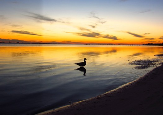
Local fauna.

Cam bumped into legendary thru hiker Billy Goat. Two legends, I’d say.
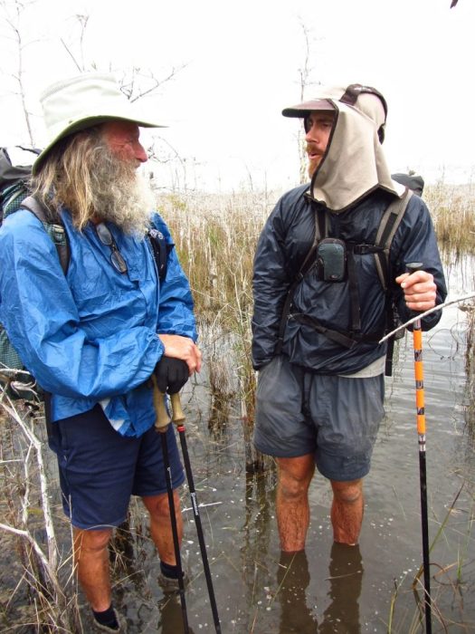
Read Cam’s Florida Trail Backpacking Guide.
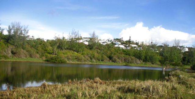
Spittal Pond Nature Reserve is the largest wildlife sanctuary in Bermuda …
It is one of 13 parks or reserves managed by the Bermuda Department of Conservation Services which protects and conserves environmentally critical areas and habitats. …
…unique characteristics such as its lagoon which is permanently brackish, ecology featuring wet grassland and mangrove forests, seasonal shorebirds, other waterbirds and European eels. …
The winter season provides one of the best vistas for visitors walking along the many small trails in the park.
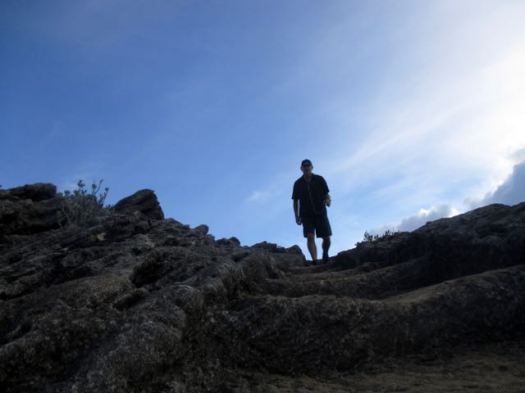
I was there in November. The only visitor on the trail.
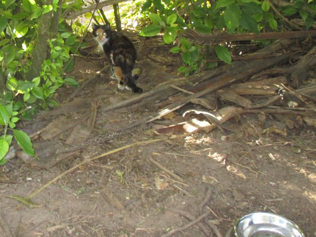
I did see feral cats.
Though short, I would say it’s the best hike in Bermuda.
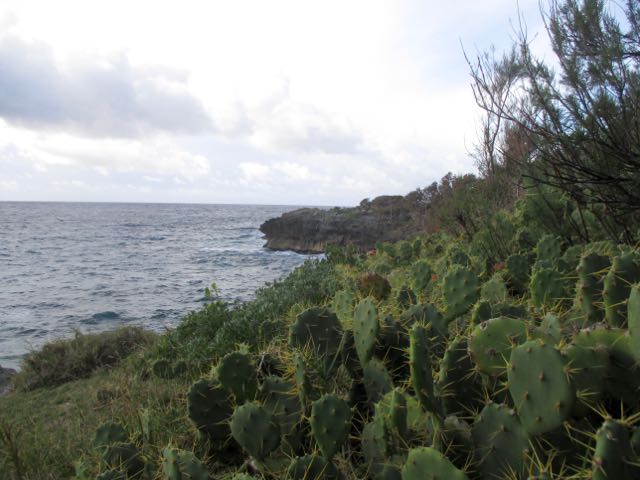
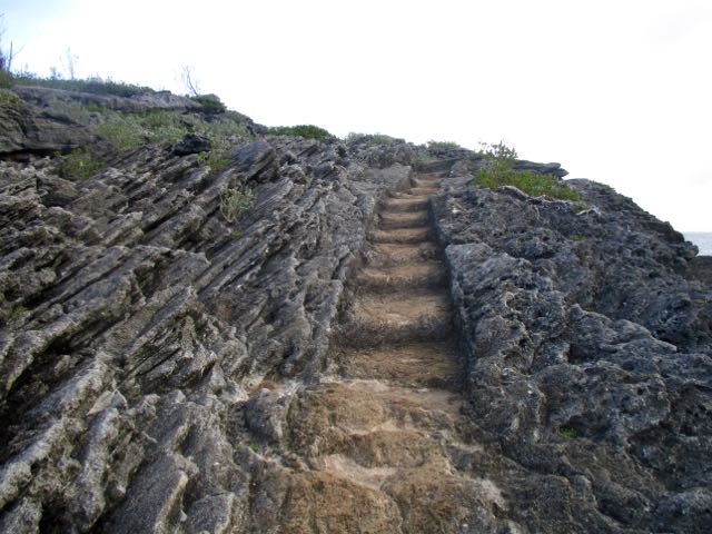
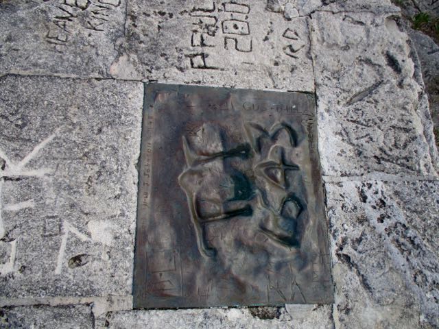
“Spanish Rock”, (also known as “Portuguese Rock”) a rocky cliff overlooking the ocean with inscriptions of the year 1543 AD … This rock piece has been taken out and replaced by a bronze plaque. …
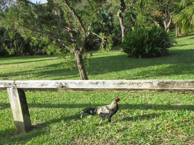
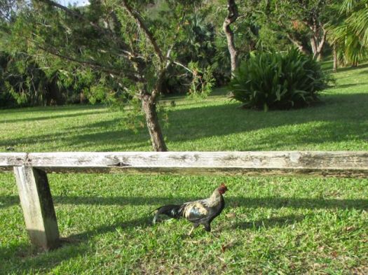
The only other wildlife I spotted were wild chickens.
Click PLAY or watch it on YouTube.
Cam Honan:
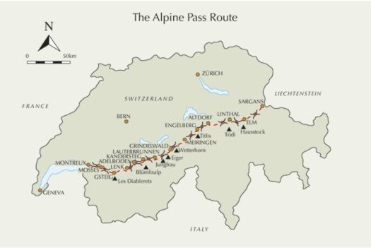
… a 340 kilometre (211 miles) hiking trail that spans the breadth of Switzerland. Starting in Sargans on the border with Liechtenstein, it passes up and over sixteen mountain passes before reaching its western terminus at Montreux, situated on Lake Geneva.
I completed the Alpine Pass Route in August, 1997. Nineteen years and many hiking miles later, it remains one of my favourite European trails. A memorable combination of gorgeous mountain scenery, picturesque villages, great hospitality and some very cool side trips …
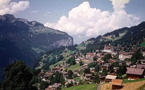
It’s one of our best hikes in Europe.