Though segments of the 400-mile trail have existed for decades, the official “Jordan Trail” was announced earlier this year …
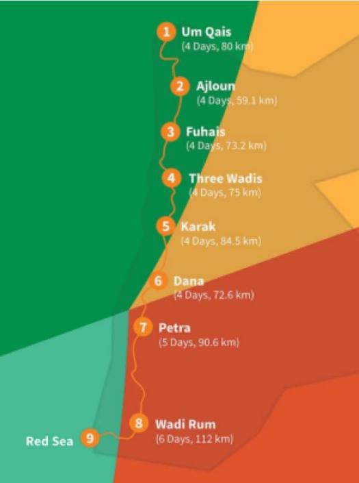
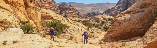
It’s the most epic, most ambitious trail in the region, stretching from Umm Quais in the north, passed 52 villages (including well-known Wadi Rum and Petra), before terminating at the Red Sea in the south. The 40-day hike was inspired by Petra’s architects, the Nabataeans, who used the route primarily for the spice trade. It follows King’s Highway (a trade route mentioned in the Bible), plus ancient Roman roads. …
The 55-mile stretch that connects Wadi Rum to Petra is among the most popular. …
Trip report by site editor Rick McCharles | day 1 | day 2
day 2 – 6:45 am I hoisted the pack.
Unsure of exactly how I was going to get back for my 4pm ferry departure , best get an early start.
In my dreams I’d hoped to get all the way to Palamutbuku … but there is one earlier exit if I am running out of time.
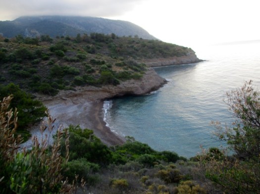
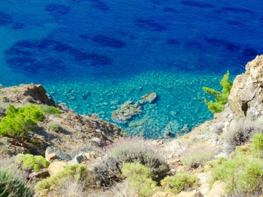
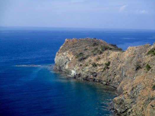
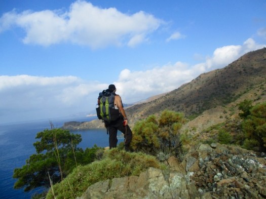
The first section is scrambling over headlands. A series of deserted coves.
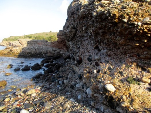
Rocky beaches. Much of the stone is conglomerate.
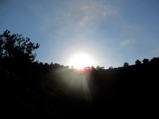
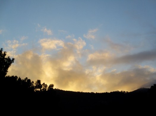
My sunrise.
I was lost briefly several times. The official guidebook and map are not sufficient to keep you on the trail. GPS is pretty much essential on the Carian Trails. And I didn’t bring my GPS to Turkey. Doh!
So few hikers pass this point I left the next one a Summit Stone. There’s no way to miss it.
If you like this kind of solitude and scenery, plan a hiking trip to Turkey.
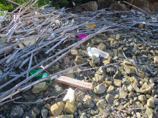
The beaches are not littered. But they are full of plastic and junk washed ashore.
Here’s the toughest headland. My guidebook authors nicknamed this scramble Death Valley.
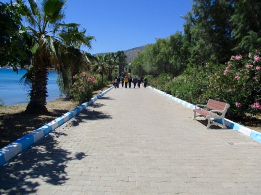
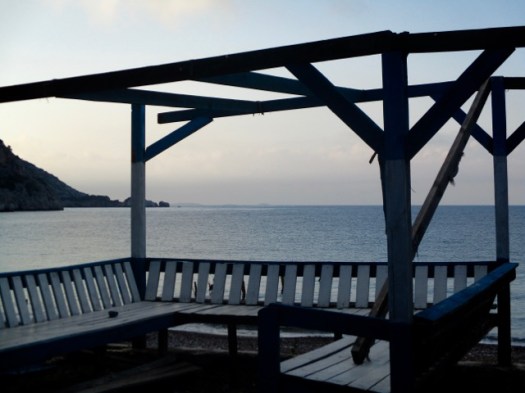
Whew. Civilization.
I was slow getting here. But the only other walkers I saw on the trail were even slower.
This village was the end for me. I’d need to find the mini-bus back to town to be sure not to miss my ferry.
During lunch at a pleasant restaurant I learned that the mini-bus does not run on Sundays. I’d need to hitchhike. A crazy dentist in a beat-up van picked me up.
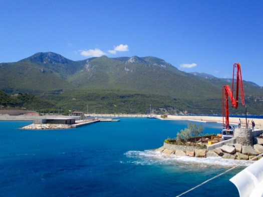
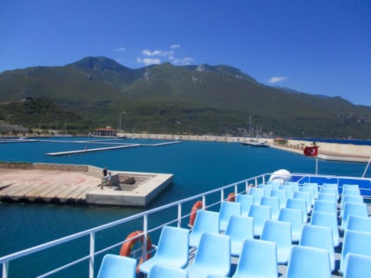
I was tired on the ferry home. The two days had taken more out of me than they should.
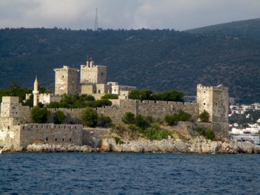
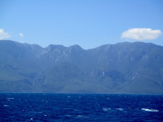
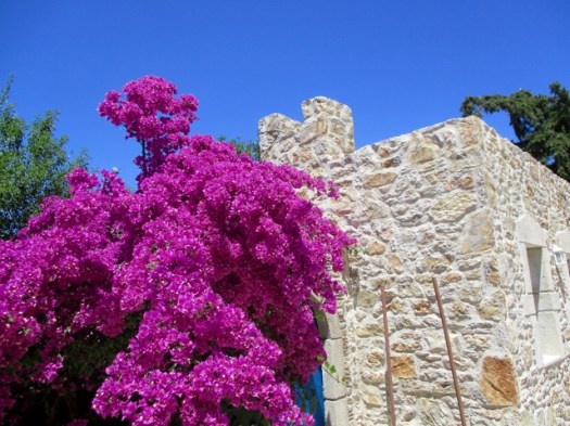
Bodrum castle is most impressive from the sea.
Trip report by site editor Rick McCharles | day 1 | day 2
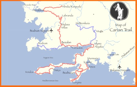
Only 2 days on the Carian Trails. But it was enough.
I decided to return April / May 2019 for 2-3 weeks most likely on the even more remote Bozburun Peninsula section. (141km)
I’ll have two GPS devices and several downloaded routes. I’ll carry the right gear. And I’ll bring some of my food from home. Turns out they don’t sell dehydrated mashed potatoes in Turkey.
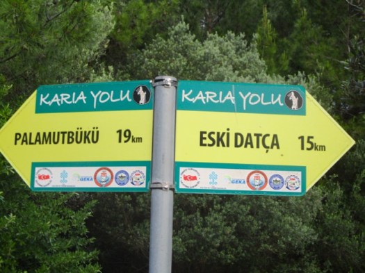
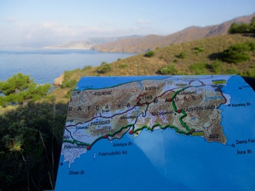
I wandered Datça town for an hour enjoying the peace and quiet after busy Bodrum.
Eventually I found the official trailhead in Eski Datça. This is the start of the 240km Datça Peninsula section.
People visit to see traditional old stone houses on cobbled streets.
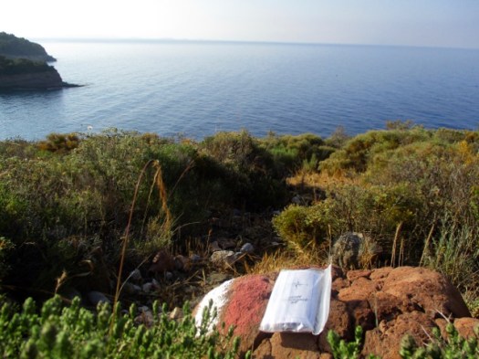
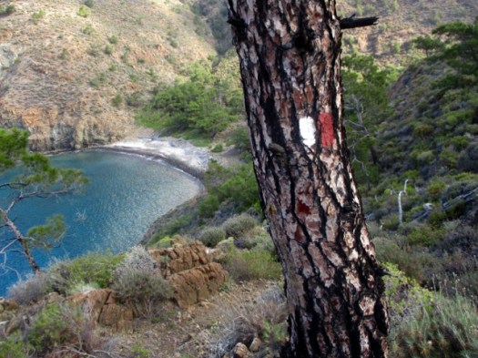
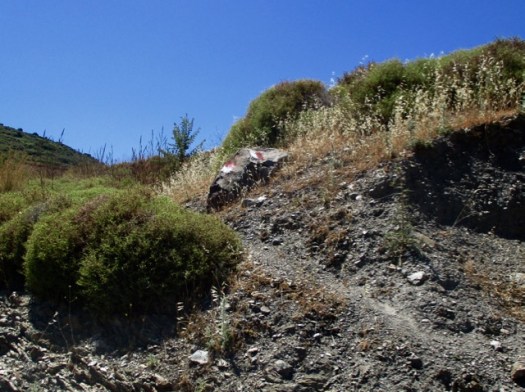
Follow the red & white paint.
There are some signs on the Carian Trails, but not many.
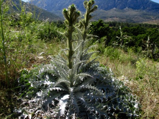
I wore long pants due to thorny, stinging vegetation on the overgrown trails. In fact I should have had even thicker pants.
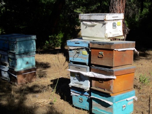
Traditionally this region is famous for fish, almonds and honey.
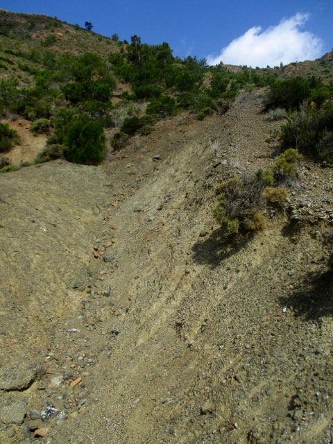
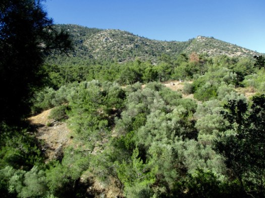
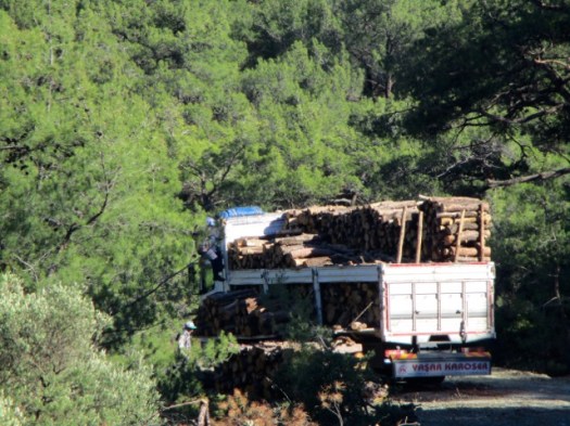
Most of the day was on logging roads. Good footing.
Alarmingly, the only water source was swarming with wasps. I couldn’t get close.
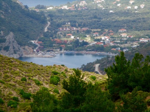
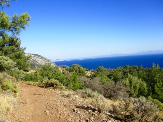
First glimpse of the ocean.
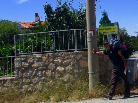
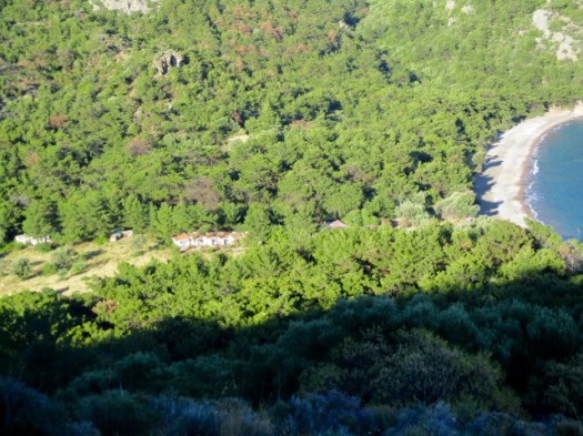
I was very happy to see my destination — Pig’s Hollow Camp (Dumuzcukuru). Wild boars visit occasionally.
It’s something of a commune. When I was there 3 Turks were in residence. One had been coming for 6 years.
They take care of the garden. Keep the place clean. Maintain the solar power rig and water purification system.
Anyone can stay and probably eat dinner with the guys. By donation.
My pasta dinner, home grown salad and wine were excellent. I was HAPPY to donate.
The guys told me very few Carian Trail hikers pass by. It truly has not caught on yet in Turkey though the nearby Lycian Way is booming. The Carian Trail was only launched in 2013.
I saw one big black snake. They guys said they see about one snake a day at the Camp.
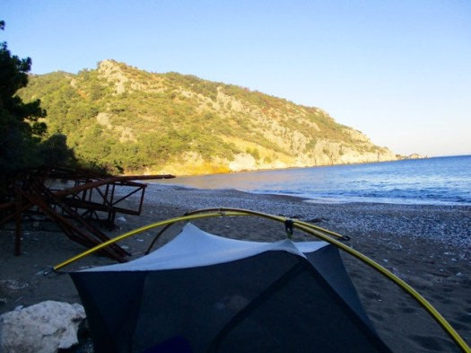
My last night in the tent in Turkey. A nice spot. I had the beach to myself.
I read my kindle as dusk fell.
Trip report by site editor Rick McCharles | day 1 | day 2
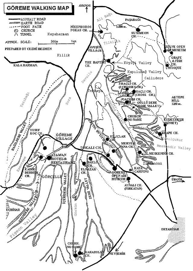
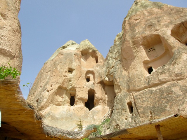
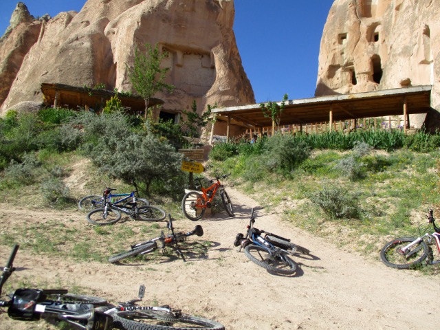
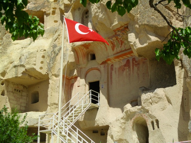
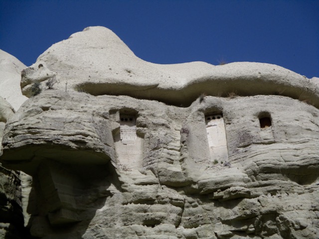
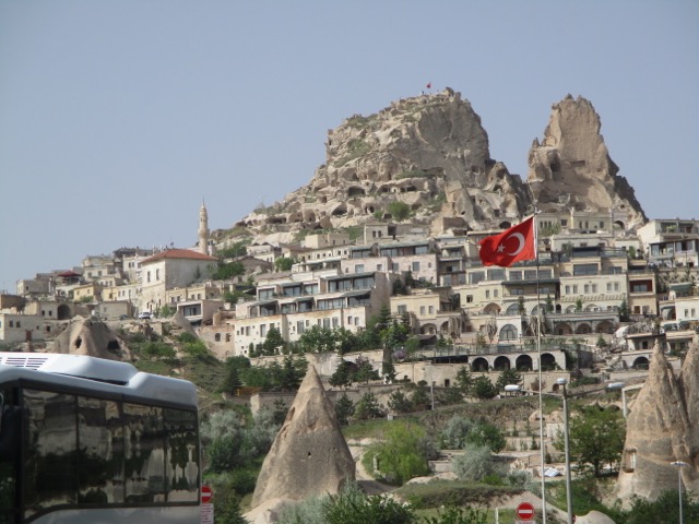
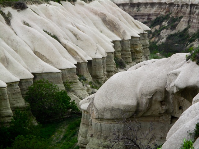
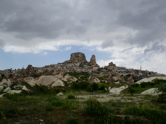
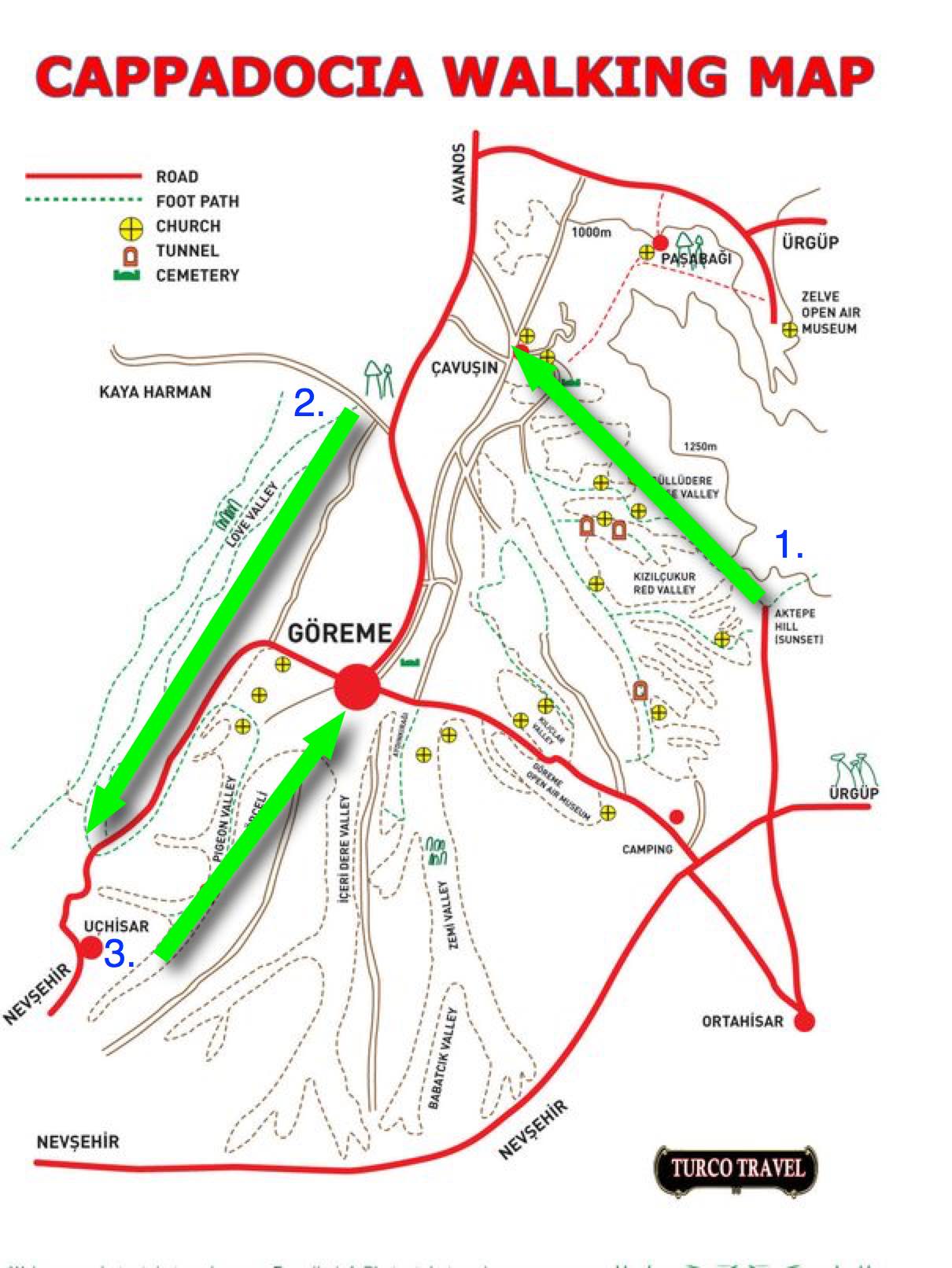
On arrival in Göreme someone will hand you a FREE hiking map.
Most wander around with this thing … frequently getting lost. We could find no decent map nor guidebook in 2017.
For 6 days I hiked and cycled many of these trails, often lost, before finally deciding on what I felt was the best hike.
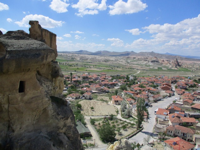
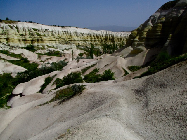
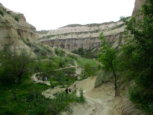
Ask the people at your accommodation in Göreme how to get to the Rose Valley Panoramic viewpoint. They’ll likely recommend a taxi and tell you the price. It’s about a 15 minute drive uphill from town.
There is a small entry fee for Panoramic viewpoint. The taxi may drop you outside the gates.
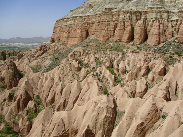
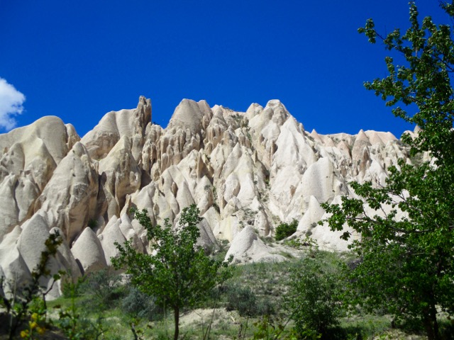
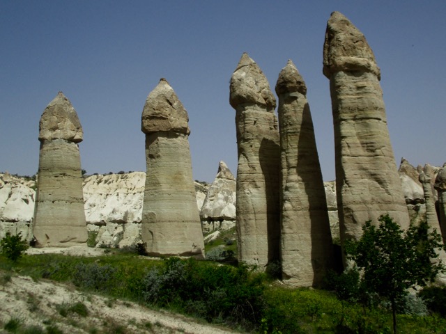
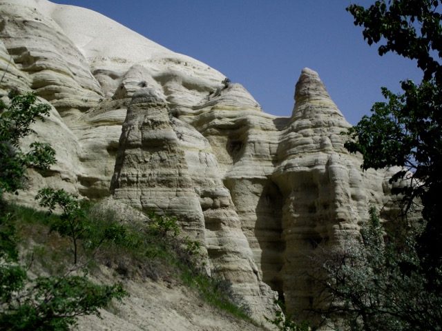
Most feel Rose Valley trail. 5km to Caveusin is the best hike of all. And I’d agree.
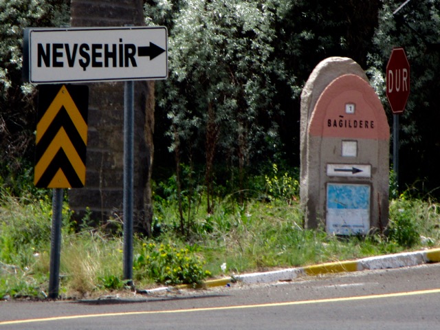
Note that most of the trail signage is in Turkish.
There are many twisting and turning trail options. All are good but the very bottom of the valley might be muddy.
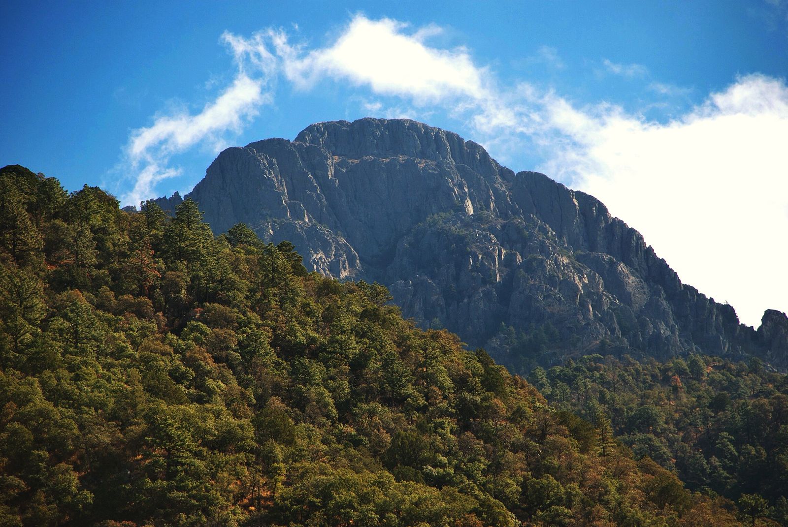
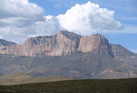
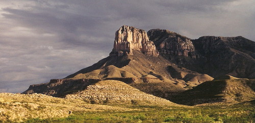
The mountain is known for the spectacular view from its barren peak, nearly 7,000 feet (2,100 m) feet above Tucson. …
Mount Wrightson from Madera Canyon.
There are two main trails to the summit, and they cross each other twice, making a figure “8”. The Old Baldy Trail is the shorter of the two at 10.8 miles roundtrip. The Super Trail is the other one and is about 14 miles long roundtrip. …
Wrightson can be climbed any time of the year due to the great trail conditions. However, be prepared for wintery weather at the summit, especially during spring and fall when the valley below is temperate. You will encounter snow from fall through early spring.
As a testament to its dangers, there’s a memorial at Josephine Saddle (the first saddle where the two trails meet) for three unlucky boy scouts who perished there in a freak winter storm in November 1958. …
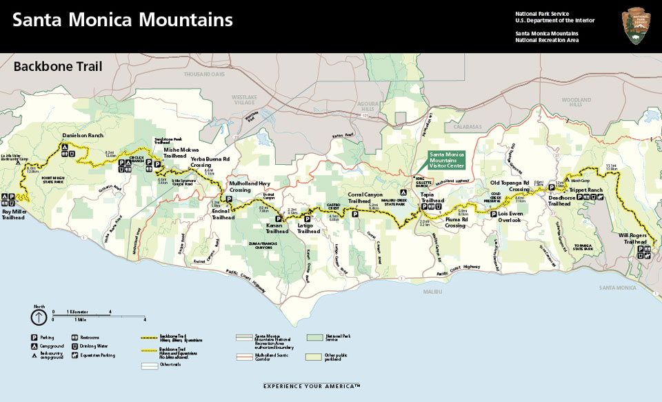
the Backbone Trail, stretches about 67 miles through the Santa Monica Mountains that ring Los Angeles, and opened in June after more than 50 years in the making.
The trail, which connects Point Mugu State Park in Malibu to Will Rogers State Historic Park in Pacific Palisades, has evolved slowly over the years. Non-government volunteers worked with state and federal park employees to fund and build the path, and to acquire the land necessary to connect the pieces….
The peak can be climbed by a maintained stony trail (4.25 miles or 6.8 kilometres each way) at any time of the year. …
A stainless steel pyramid marks the summit. It was erected by American Airlines in 1958 to commemorate the 100th anniversary of the Butterfield Overland Mail, a stagecoach route that passed south of the mountain. …
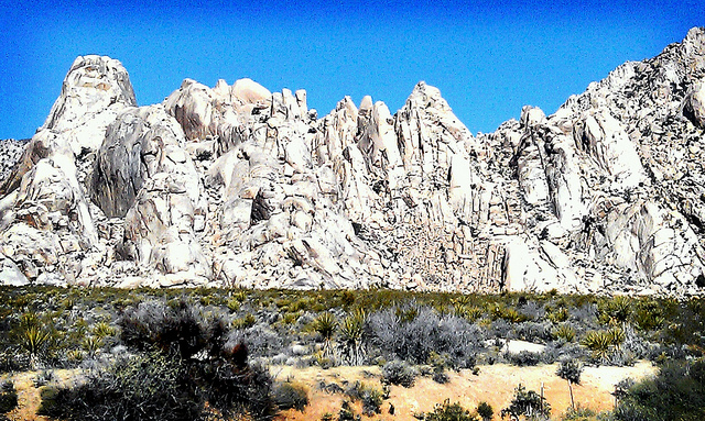
Once there you might want to scramble down and back up to the top of El Capitan, the most impressive face of the massif.
Ace Kvale turned 60 last fall, and to celebrate, he planned a 60-day, off-trail backpacking trip around Utah’s Canyon Country, leaving from his front door.
He had a dozen friends join him for different sections of the trip, and one friend who joined him for the whole thing: his blue heeler, 10-year-old Genghis Khan aka ‘Desert Dog’. …
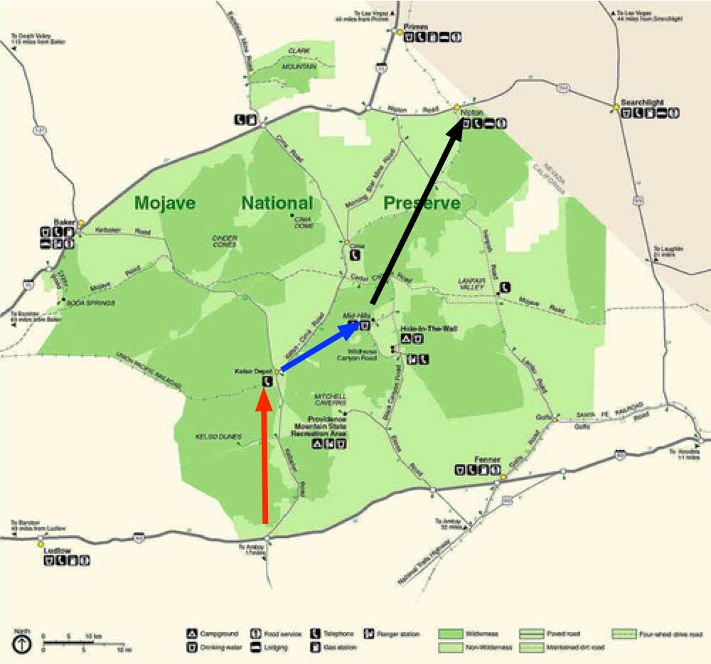
I’ll start from highway 40 heading towards the Granite Mountains. Refill at Kelso Depot. Hike on toMid Hills Campground , refilling my water bottles. And exiting at Nipton.
Surprisingly, water will not be a problem.
water sources
I won’t count on natural springs, however. Let’s leave that for the wildlife.

 We’ve added the Jordan Trail to our list of best hikes in Africa and the Middle East.