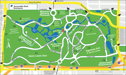
I spent two half days walking the Park and visiting attractions. Easy access via MetroLink.
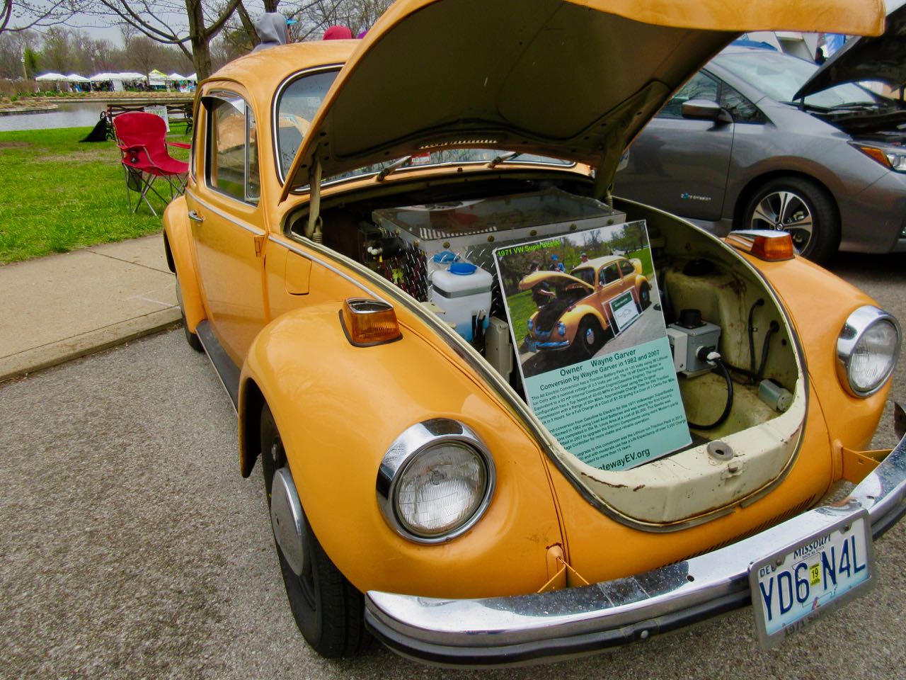
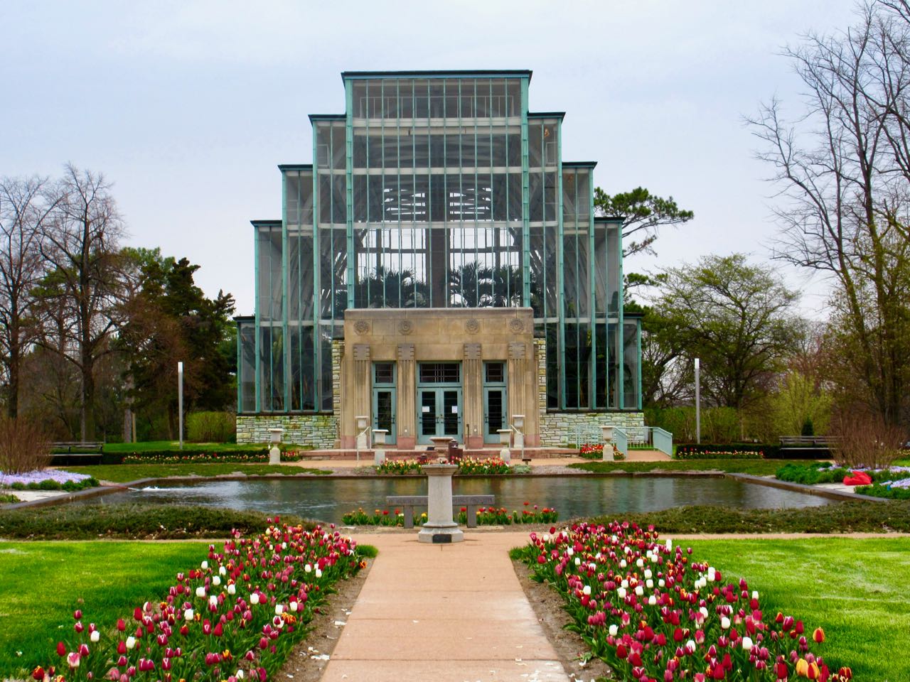
Earth Day 2018Jewel Box
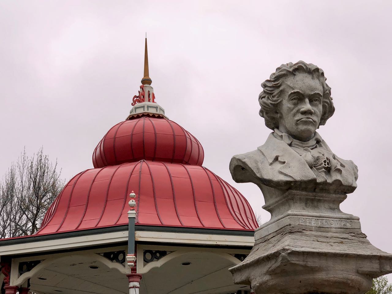
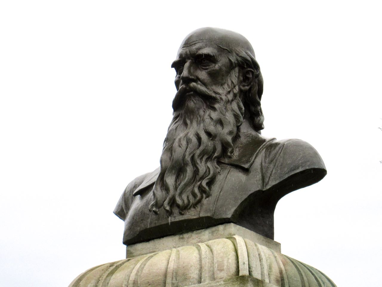
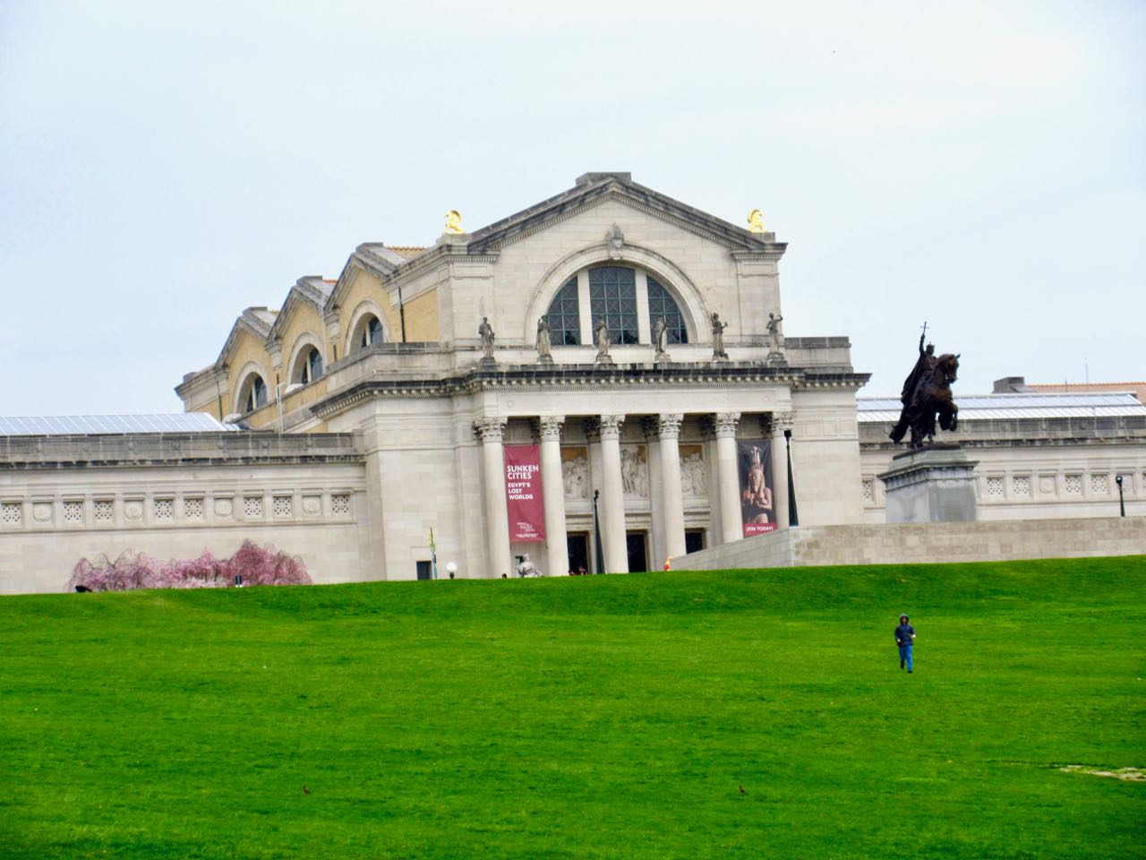
Friedrich Ludwig JahnSt. Louis Art Museum
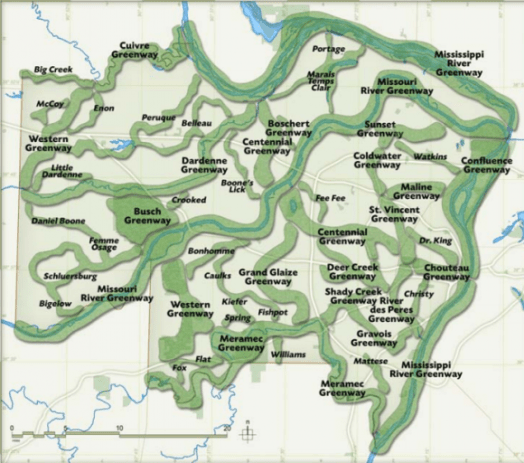
It’s part of the River Ring, a 600+ mile web of parklands and trails being developed by the Great Rivers Greenway. Ideal for cycling, by the looks of it.
This area is characterized by thick forests, fjords, glaciers, canals and steep mountains. …
Among the world’s finest road trips, the Carretera Austral – or “Southern Highway” – is a 1240km route through Chile that’s mostly unpaved. Winding through millennia-old forests, it visits dusty Andean hamlets and turquoise rivers spawned from landlocked glaciers. …
Cyclists should have the skills and materials to repair their own gear, and should plan on taking a solid month for the entire endeavor. According to Italian cyclist Tomas Balzk, the hardest part was not pedaling the terrain, but ingesting enough calories. …
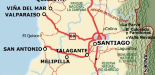
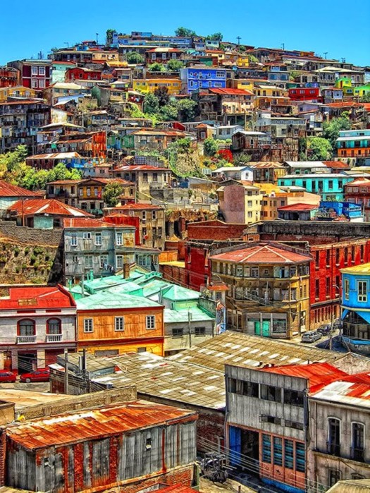
People from the BIG CITY of Santiago love to escape to Valparaíso on the coast.
Valpo is popular with tourists who enjoy the city’s labyrinth of cobbled alleys and colorful buildings.
It has a a mild Mediterranean climate.
In 1996, the World Monuments Fund declared Valparaíso’s unusual system of funicular lifts (steeply inclined carriages) one of the world’s 100 most endangered historical treasures.
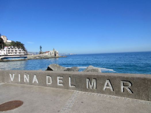
I decided to walk to Valpo along the coast from Viña del Mar, an upscale suburb to the north famed for great beaches.
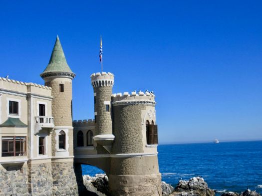
Having walked the beaches the previous evening, I started near the castle.
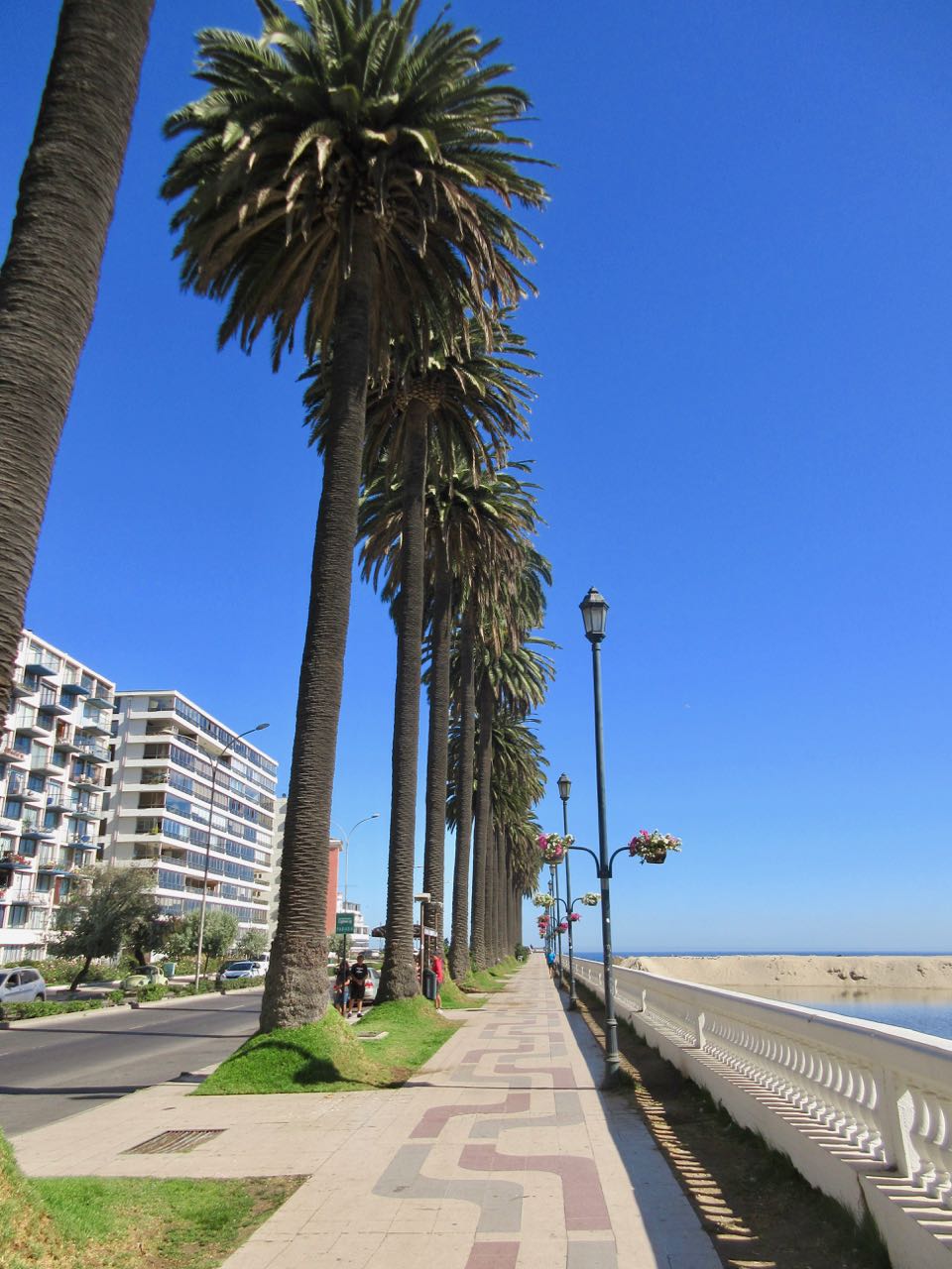
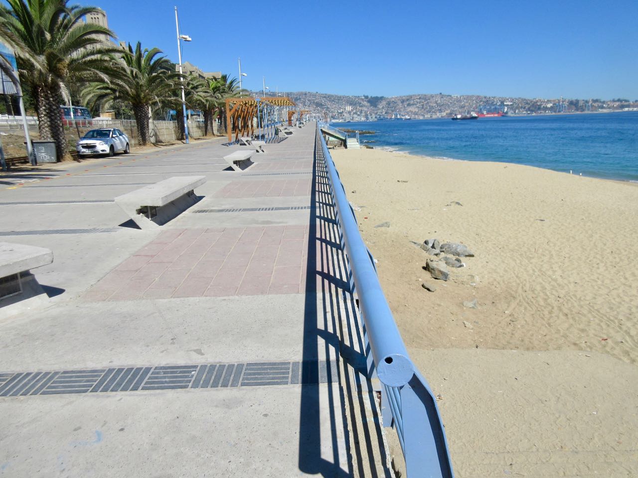
There were plenty of runners and cyclists, but not many walkers.
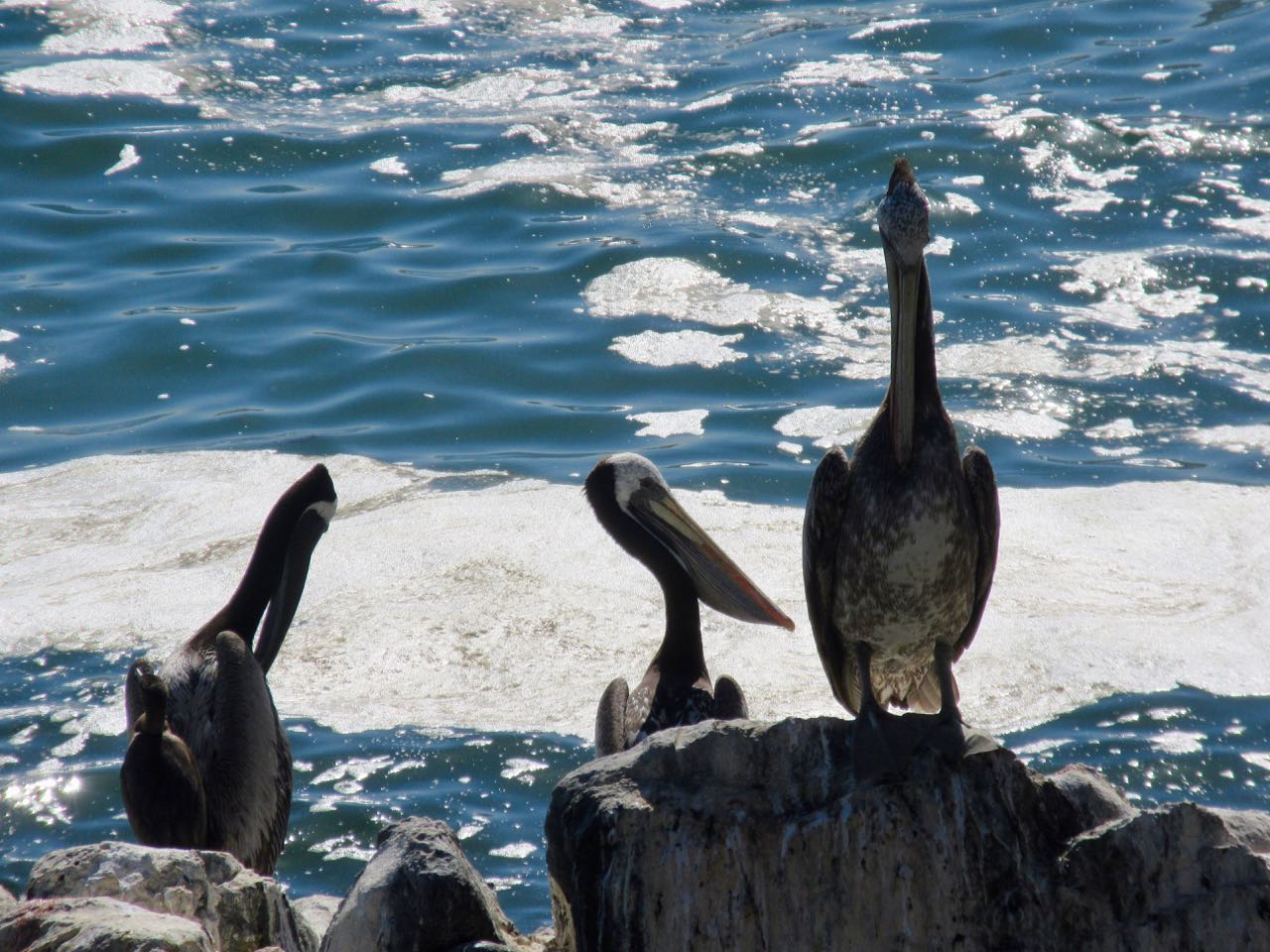
Birds are always a highlight in Chile. Pelicans have always been some of my favourites.
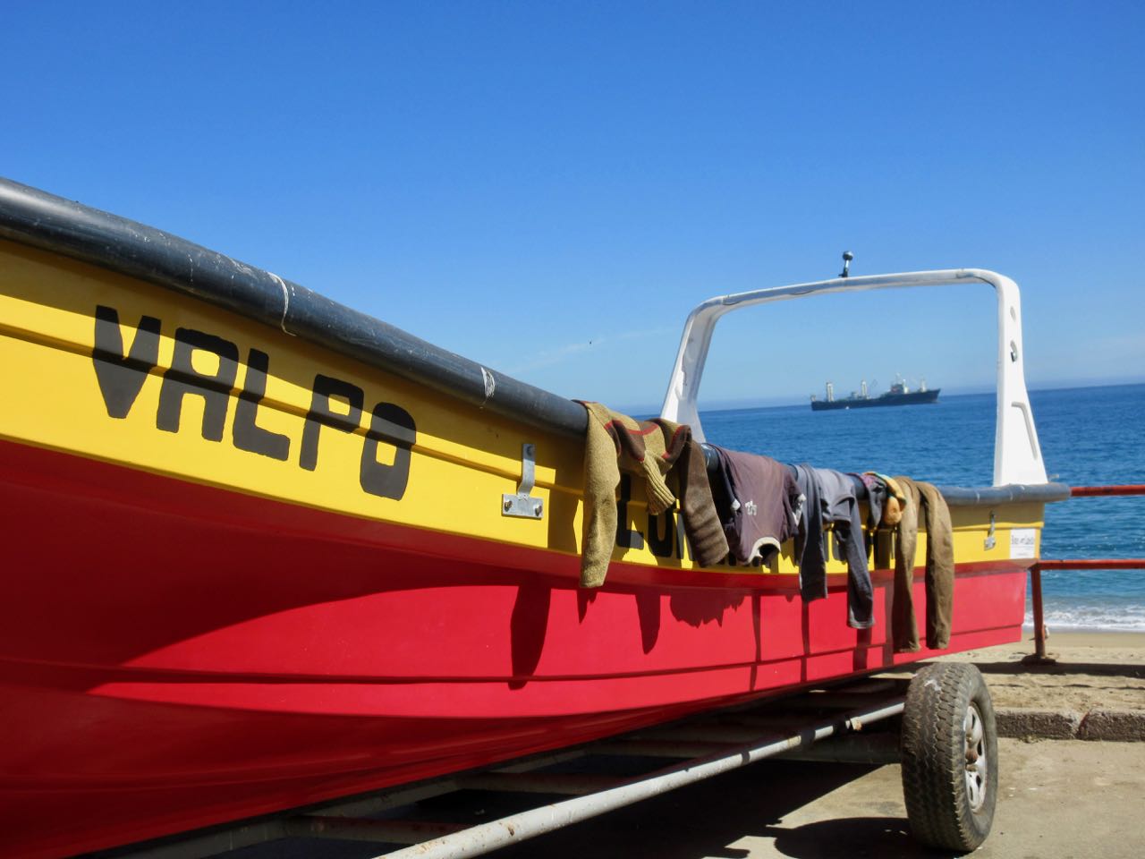
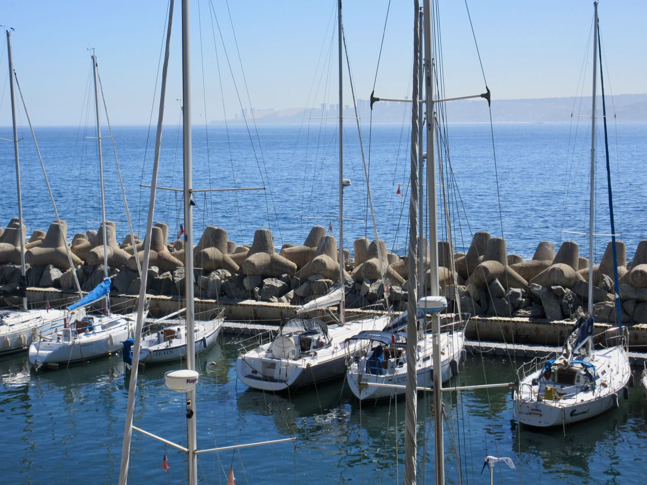
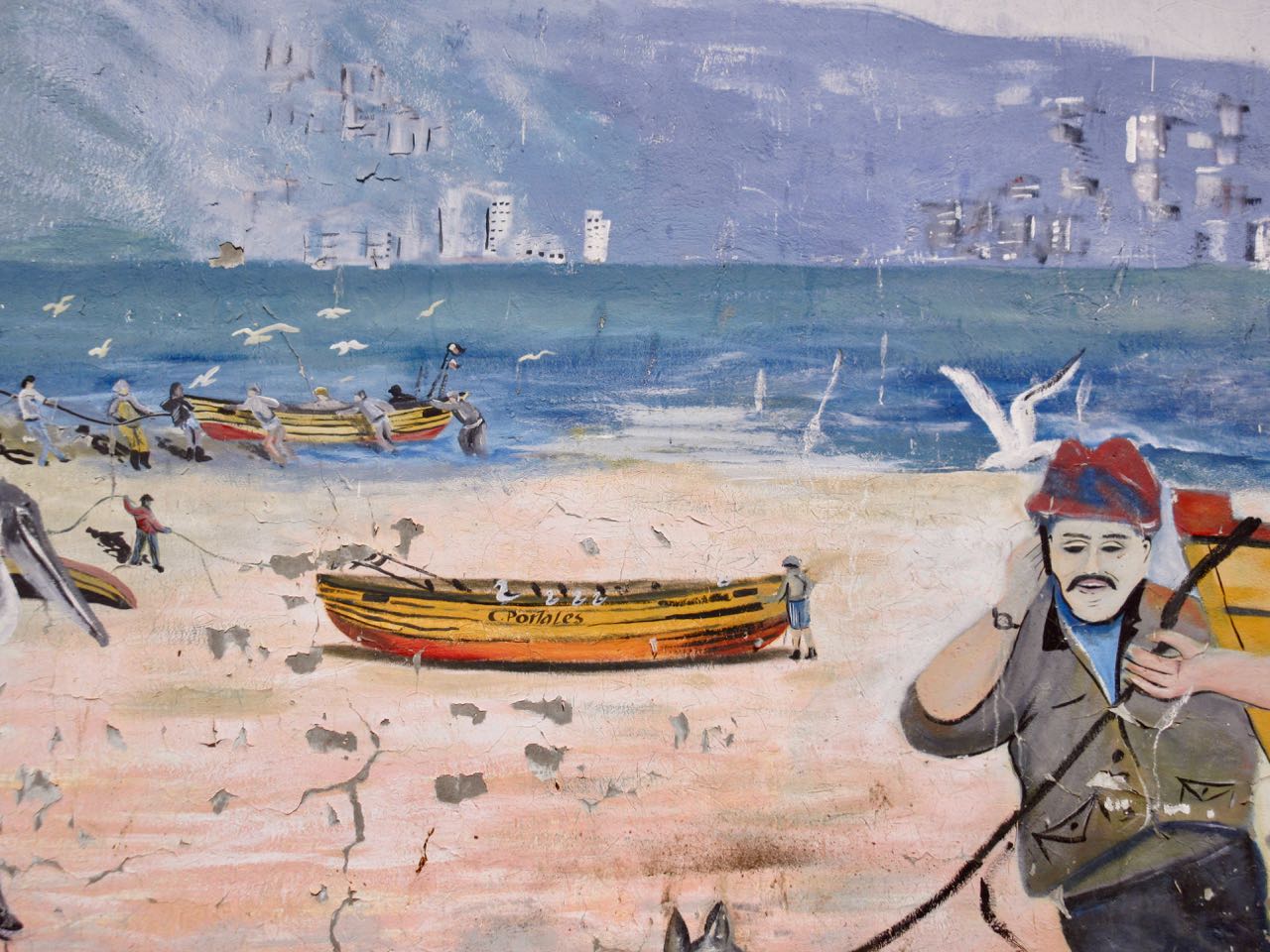
Originally a port and fishing centre, much of the coast has not been improved for pedestrians.
Some has.
Fishermen use mobile phones now.
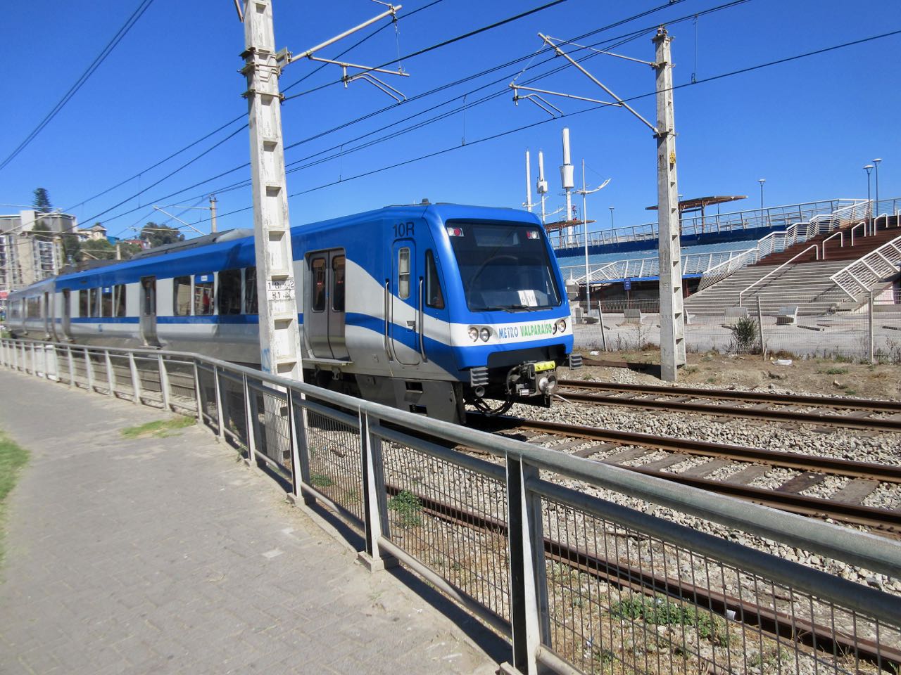
There’s a lot of traffic on the coastal road. At one point you are pushed inland by train tracks.
Parts of this 3 hour walk I did enjoy.
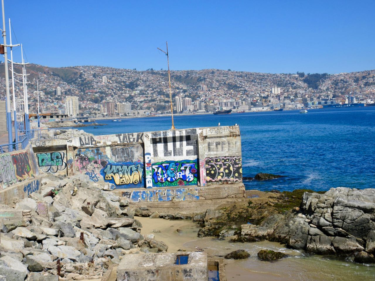
Other sections I found annoying. Graffiti EVERYWHERE was starting to bother me.
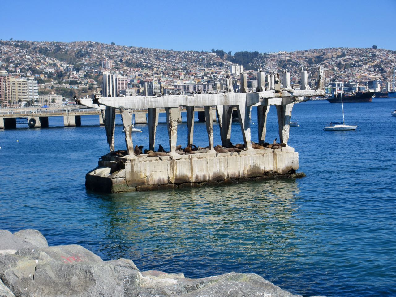
A real highlight near Valpo is watching sea lions close up on this abandoned concrete structure. It’s amazing they can get up there. It’s entertaining to watch them negotiate who gets the prime real estate. And who gets pushed off back into the sea.
The best part was arriving in Valparaíso and joining a free (for tips) walking tour. The daughter of one of the gentlemen in our group had tons of fun sliding down a cement ramp.
The most spectacular is Webster’s Falls. But it wasn’t on my itinerary.
I’d not recommend you make a special trip to Hamilton to hike the waterfalls. Many other sections of the Bruce are more appealing.
The Bruce Trail is more than 890 km (550 mi) long and there are over 400 km (250 mi) of associated side trails. I spent a week hiking some of the best sections.
The Maah Daah Hey trail system is comprised of nine trail units of varying size and difficulty. From north to south, they are the Long X (5.8 miles), Summit (3.8 miles), Overlook (0.3 miles), Maah Daah Hey (144 miles), Bennett (3.2 miles), Cottonwood (6.9 miles), Ice Cave (1.5 miles), Buffalo Gap (18.9 miles) and Wolf (8.8 miles). …
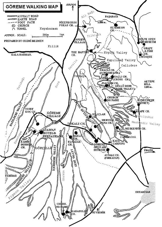
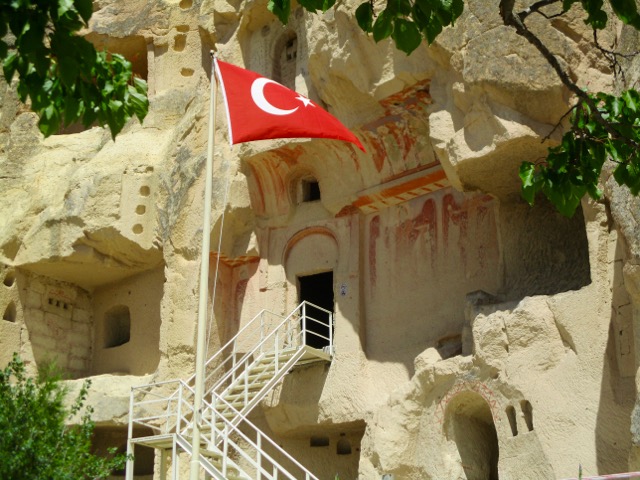
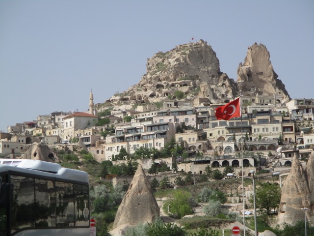
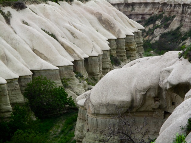
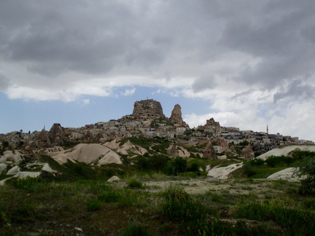
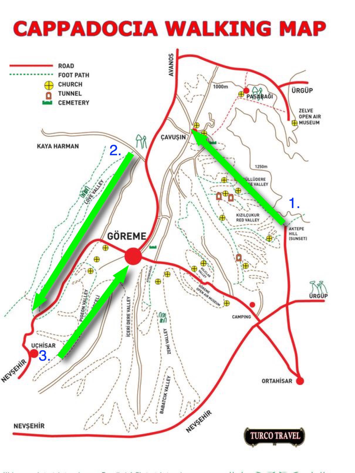
On arrival in Göreme someone will hand you a FREE hiking map.
Most wander around with this thing … frequently getting lost. We could find no decent map nor guidebook in 2017.
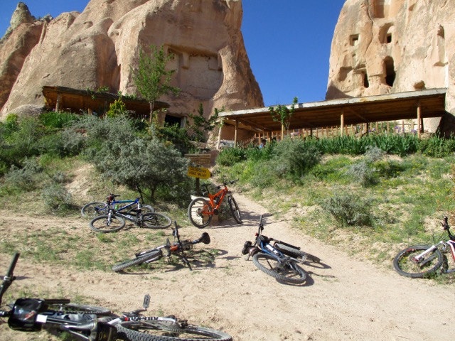
For 6 days I hiked and cycled many of these trails, often lost, before finally deciding on what I felt was the best hike.
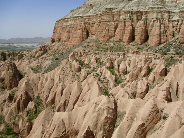
Ask the people at your accommodation in Göreme how to get to the Rose Valley Panoramic viewpoint. They’ll likely recommend a taxi and tell you the price. It’s about a 15 minute drive uphill from town.
There is a small entry fee for Panoramic viewpoint. The taxi may drop you outside the gates.
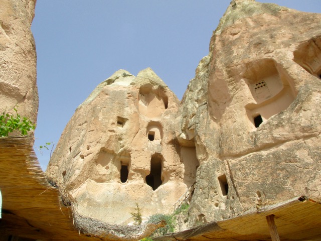
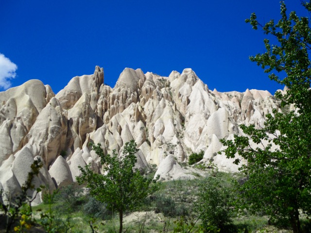
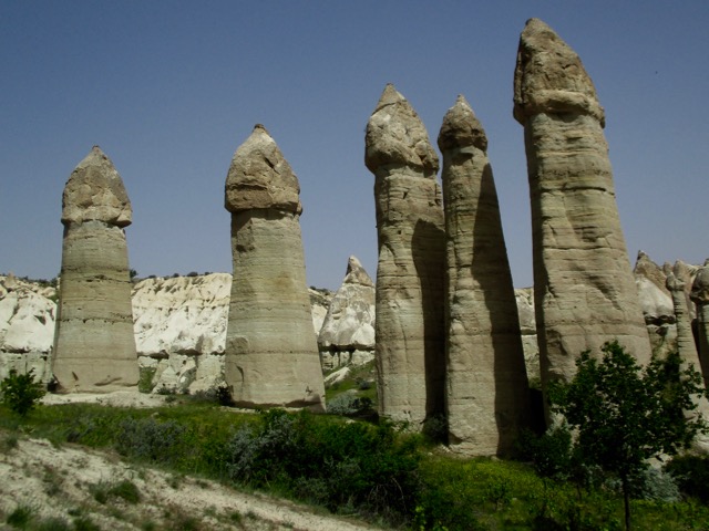
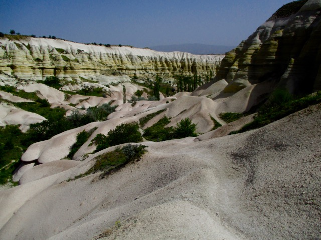
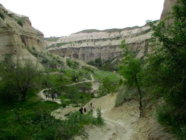
Most feel Rose Valley trail. 5km to Caveusin is the best hike of all. And I’d agree.
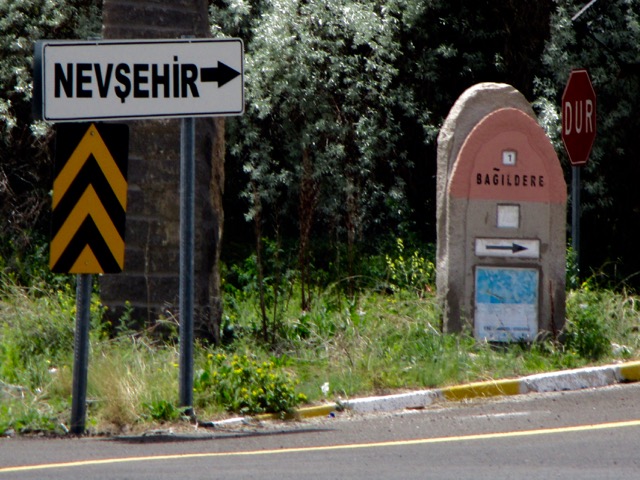
Note that most of the trail signage is in Turkish.
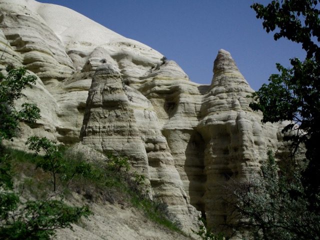
There are many twisting and turning trail options. All are good but the very bottom of the valley might be muddy.
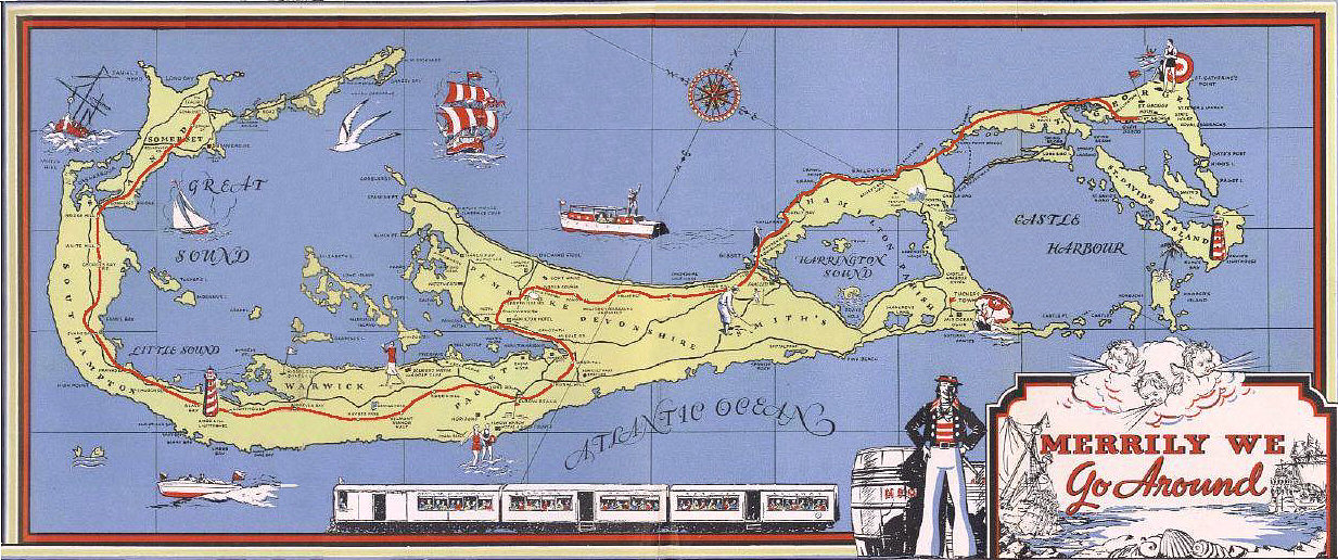
The Bermuda Railway was a 21.7-mile (34.9 km) common carrier line that operated in Bermuda for a brief period (October 31, 1931 – May 1, 1948). …
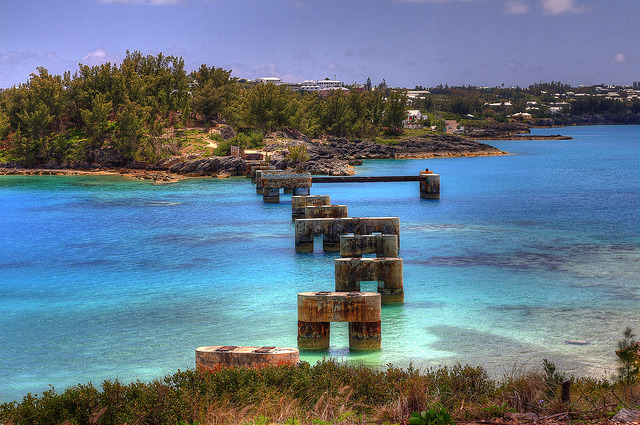
Construction and maintenance proved to be exceedingly costly, as the Bermuda Railway was built along a coastal route to minimize the amount of land acquisition needed for the right-of-way.
In so doing, however, extensive trestles and bridgework were necessary. More than 10 percent of the line was elevated on 33 separate structures of timber or steel construction spanning the ocean. …
Click for LARGER version.
In 1984, 18 miles (29 km) of the defunct rail line’s right-of-way were dedicated as the Bermuda Railway Trail for hiking and, on some paved portions, biking. The Bermuda Tourism Department publishes a pamphlet describing the Trail’s highlights …
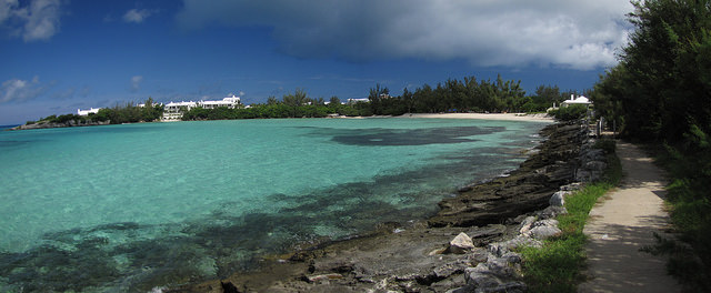
I enjoyed the sections close to the water …
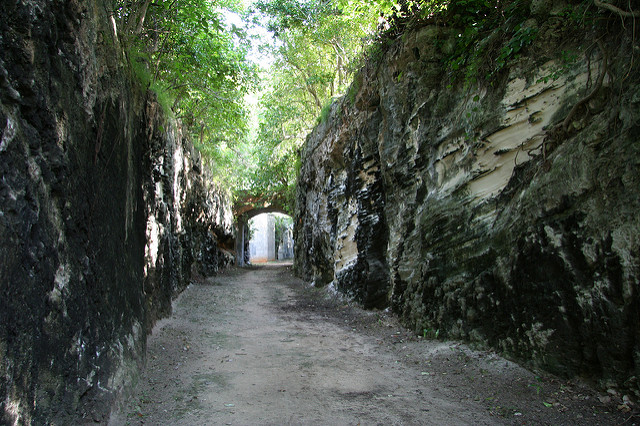
… and the sections cut into limestone.
On the other hand, there are many places where you must detour to regain the trail. Coney Island, for example.
And there are many sections where you must walk busy roadways to regain the trail.
All in all, pretty as it is, I’d prefer to mountain bike the Bermuda Railway Trail rather than walk / run it.













 besthike.com