
cycling the Annapurna Circuit

Trip report by BestHike editor Rick McCharles – day 1 | 2 | 3/4

My best ride EVER.

Jeeps and buses now shuttle up and down the valley all the way to Muktinath, causing some trekkers to dismiss this section of the Annapurna Circuit as ‘over’.

It’s not over. Most who do it still enjoy the hike down.

Still … cycling is better.

Cycling Annapurna is getting increasingly popular. But it is dangerous.

One guide I cycled alongside had 3 clients: all 3 fell over two days, one evacuated back to the U.K. with a broken collar bone.

Here’s the best easy & inexpensive option, in my opinion.

I did the Muktinath to Tatopani ride in 2014. Enjoyed it so much that I repeated exactly the same trip in 2019.

First you have to make your way to Muktinath (3800m) and be acclimatized to that altitude.

Many offer to rent you a bike. I went again with Mustang, as I like their professionalism. For this trip and 6 years ago the cost was $60 — and you could do the trip in 1, 2, 3, or 4 days for that price. Most do 2 days. They shuttle your luggage to Tatopani.

  1. Muktinath to Marpha (2650m descent)
  2. Marpha to Tatopani (1130m descent)

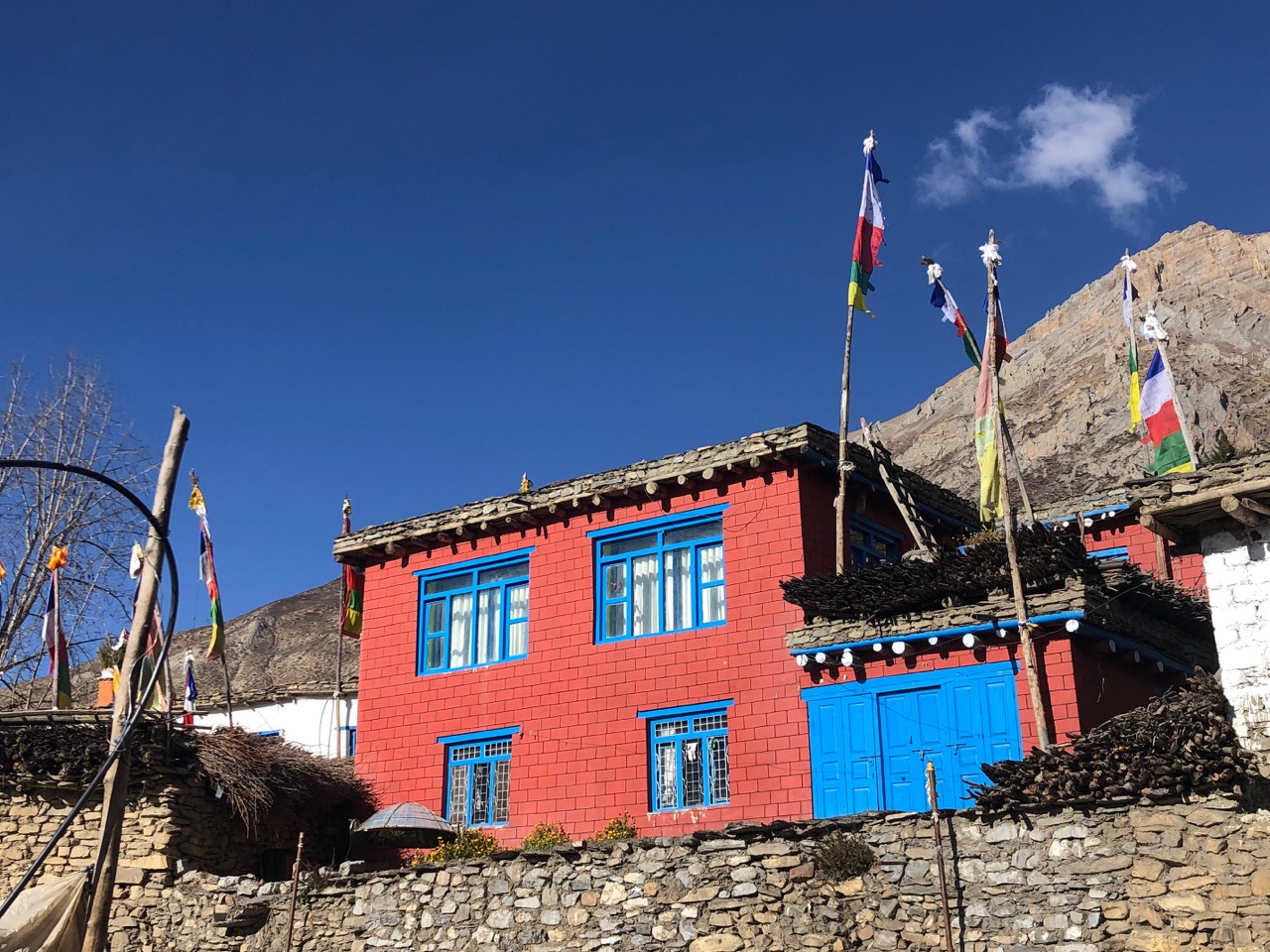
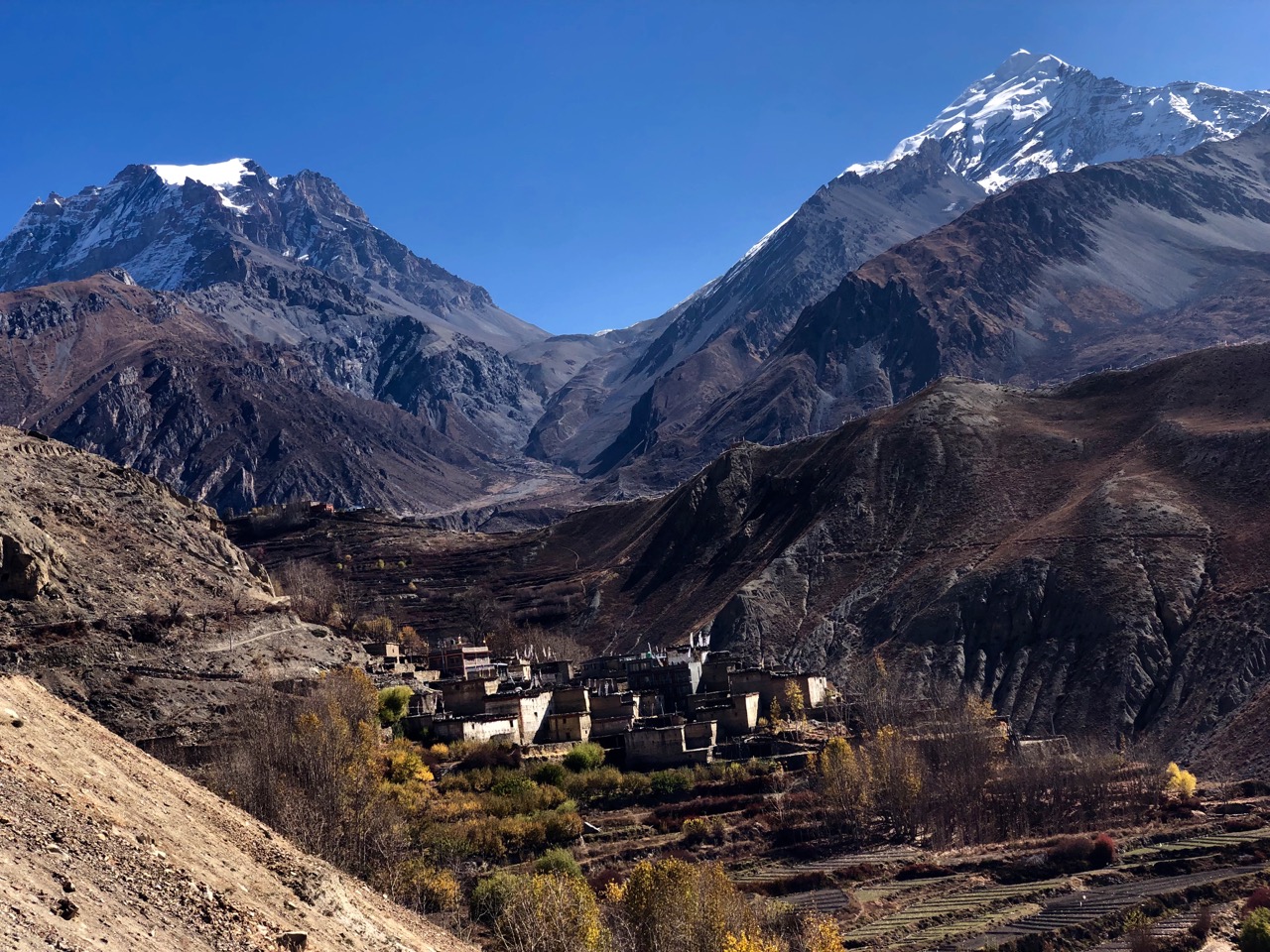
There are several ways down to Kagbeni, all interesting. This time I took the high route via Jhong (Dzong; 3580m) on the other side of the valley from the motor vehicle traffic. Loved it.

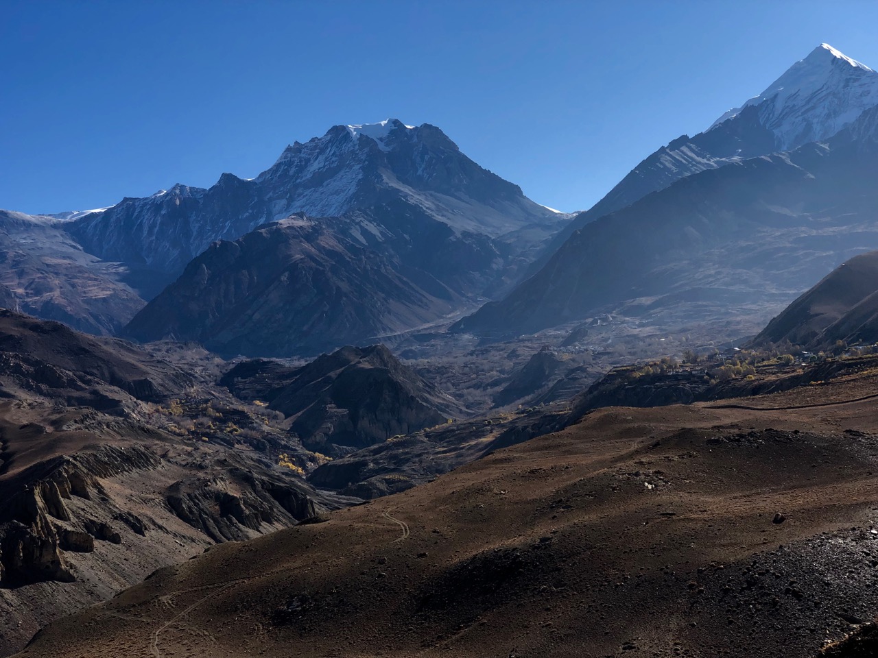
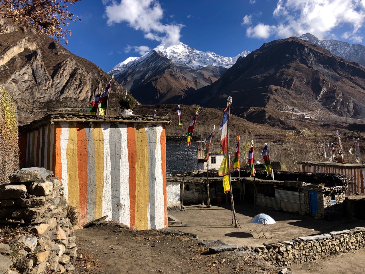
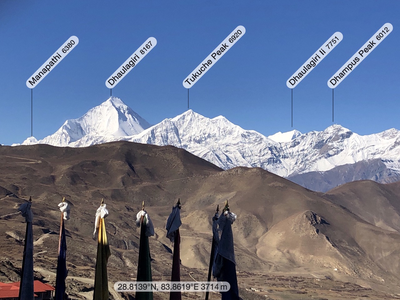
All day long you are staring at impressive Dhaulagiri (8167m).

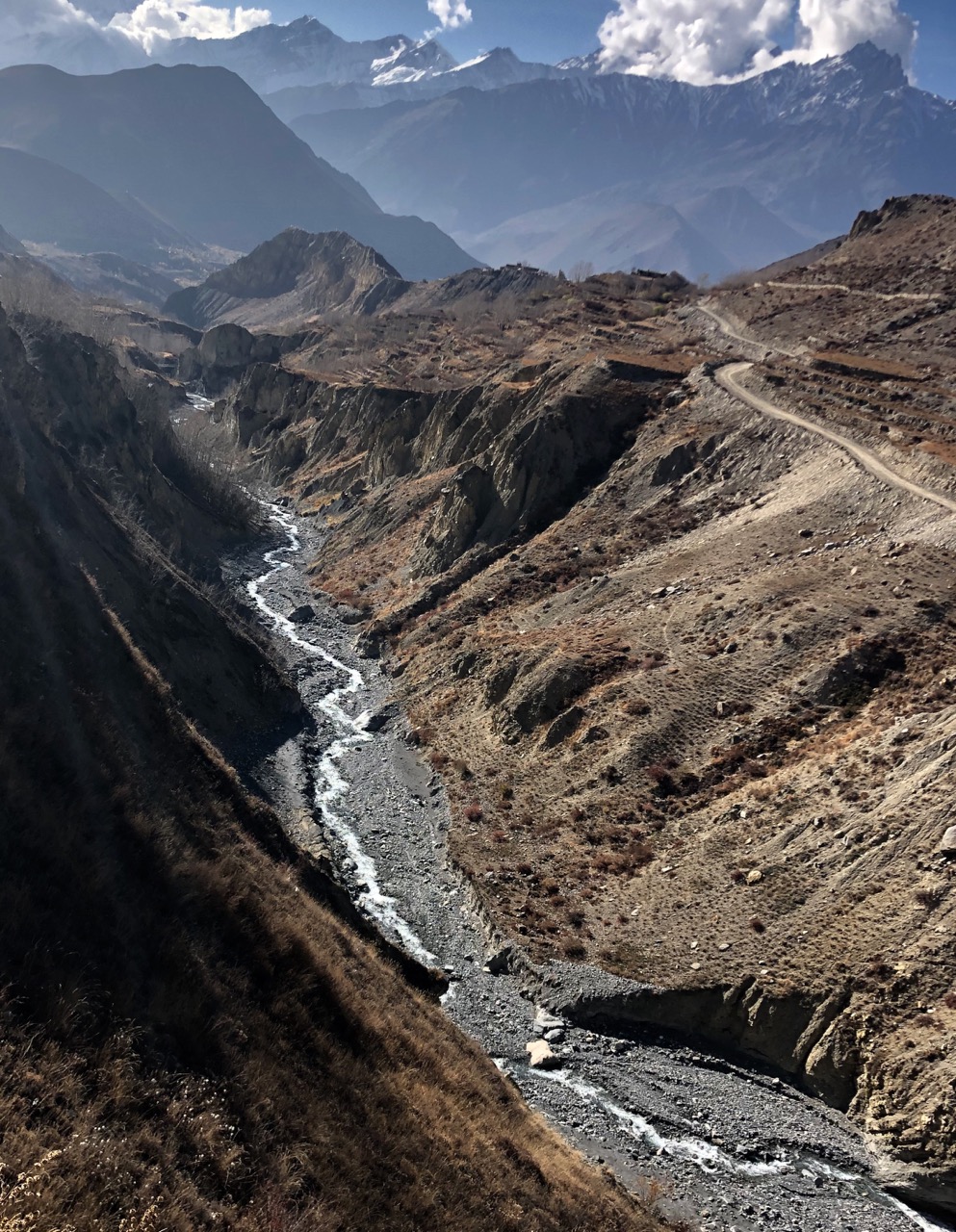
Day 1 is dry, arid Tibetan landscape.

You definitely need protection from wind and dust.

You reach fantastic Kagbeni without passing any traffic. But road building is ongoing in the so-called Annapurna Conservation Area.

Riding through Jomsom is ugly and un-fun. But there’s no alternative to the busy main road.

Almost everyone stops in lovely Marpha. I followed the guide and her clients to this Guest House. In fact, I got the room of her injured rider.

Next morning I toured Marpha, the apple capital of Nepal.

… a pretty stone lined village which has survived the transition to the current time, by catering to trekkers and tourists. …

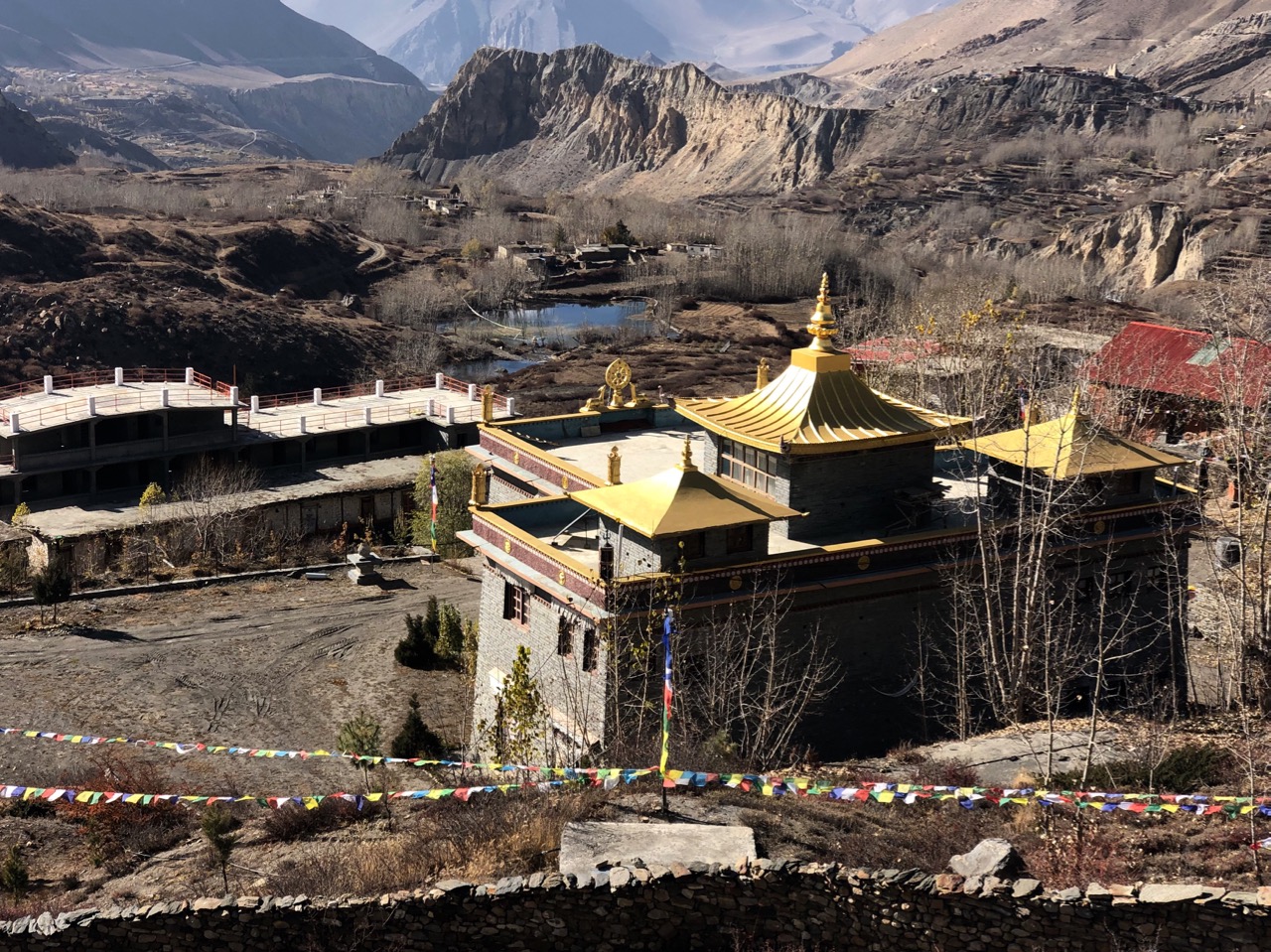
Dominating the village is the Nyingma monastery …

Day 2 you can often choose between the main road (bad), the river (hike-a-bike) or the new Annapurna trekking trail (single track with plenty of ups-and-downs).

I enjoyed it much better than 6 years ago.

The final ride down to Tatopani (hot water) is very, very rough. I’ll post video of that section later.

😕

BUT … it is great to hit the hot springs after 2 long, dusty days.

There’s no easy way out of Tatopani. My first time here I continued trekking to Annapurna Base Camp, a serious commitment. This time I got on the local bus … $5.50 for a 7 hour, very bumpy ride back to Pokhara.

Trip report by BestHike editor Rick McCharles – day 1 | 2 | 3/4
visiting sacred Muktinath, Nepal

Trip report by BestHike editor Rick McCharles – day 1 | 2 | 3/4
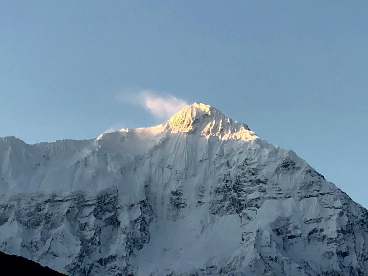
Waking up in Kagbeni, the morning sky was perfect.

Niligiri North (7061m) from the rooftop

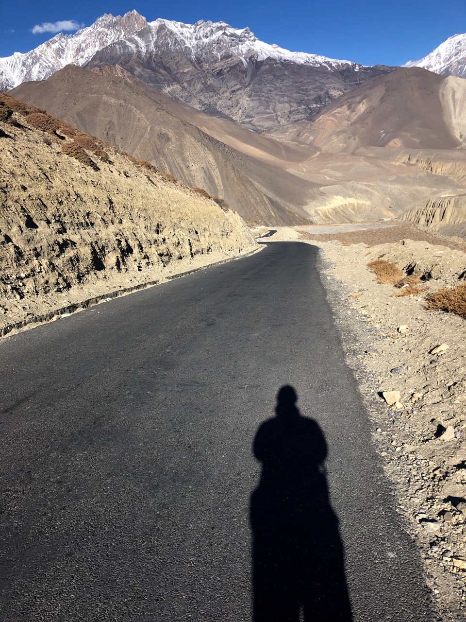
I thought I might catch a bus or shared jeep up to Muktinath so started walking the (shockingly paved) main drag.

I ended up on foot for 3-4 hours, but still enjoyed the road walk.

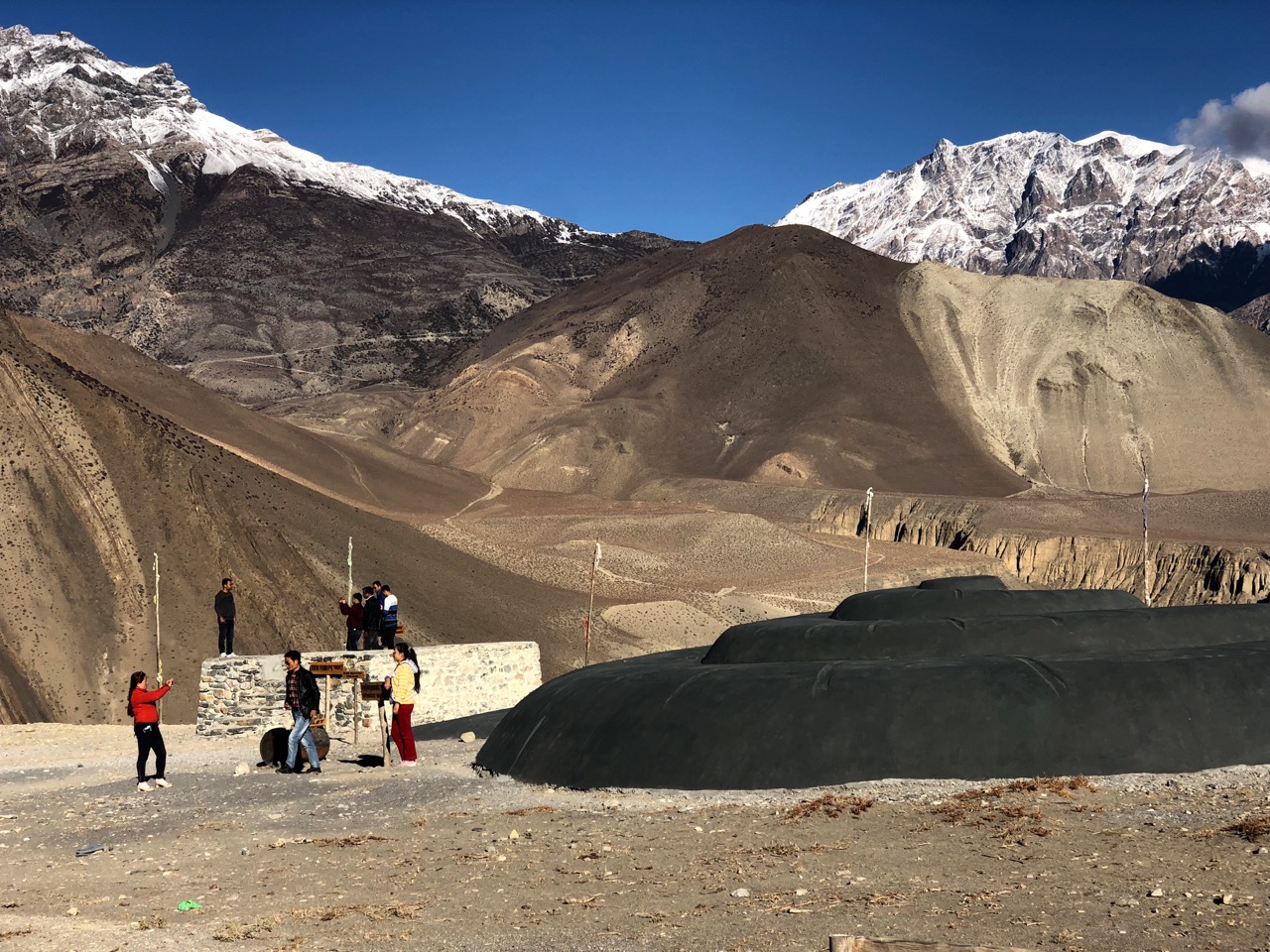
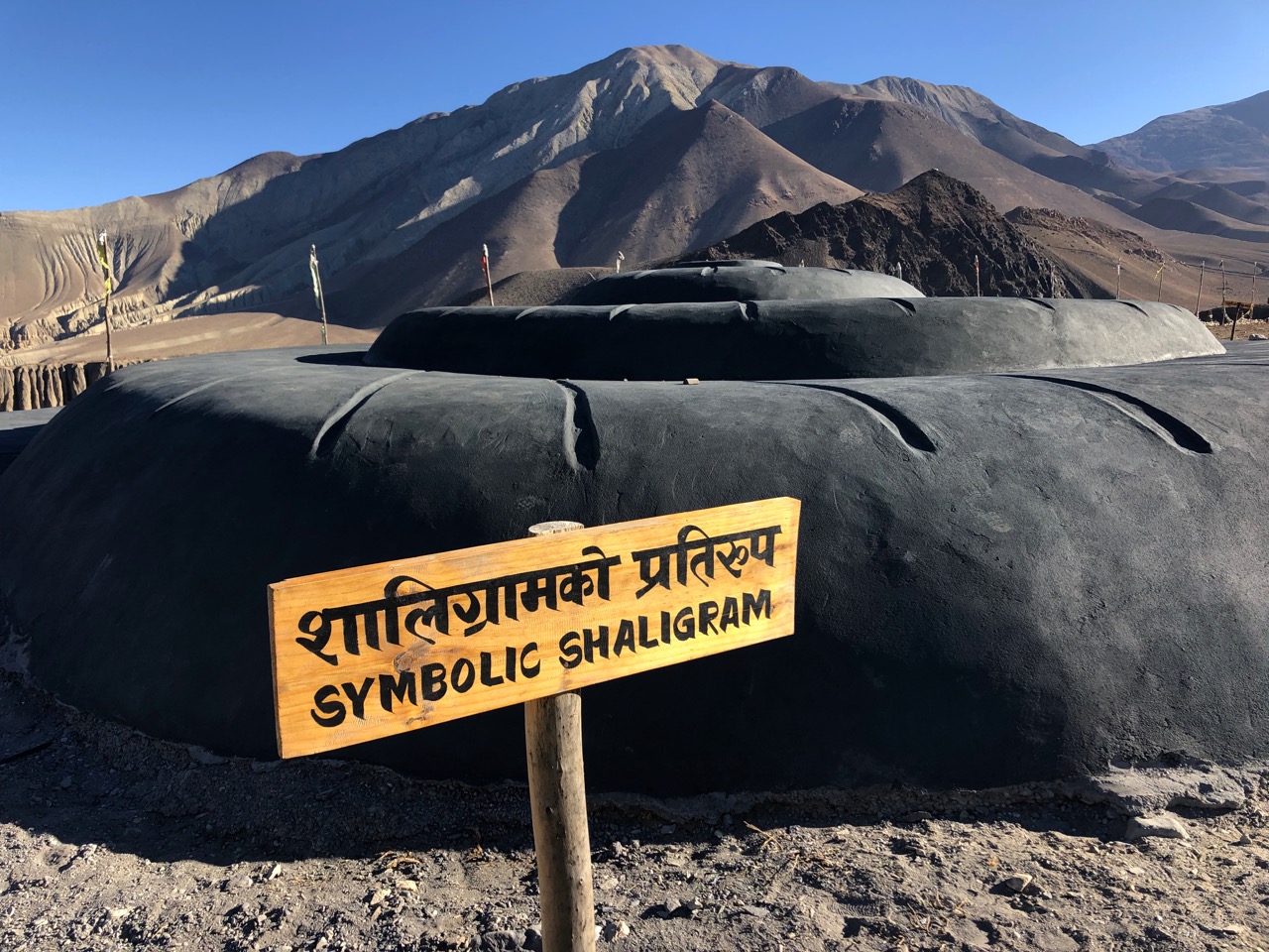
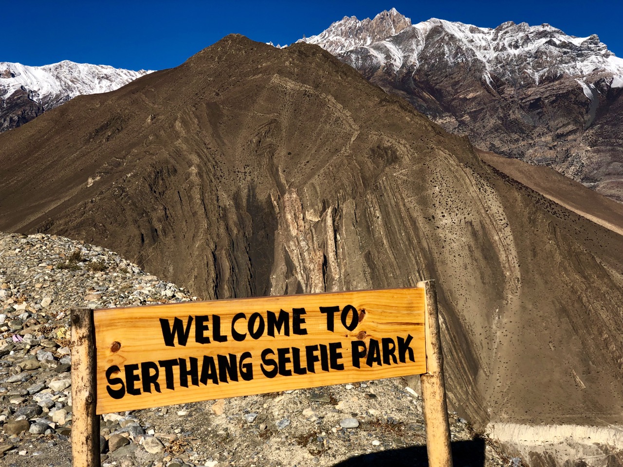
The highlight was weird Serthang Selfie Park. Yep, everyone stops here to take selfies.

Happily, this viewpoint is protected from evil spirits including ZOMBIES.

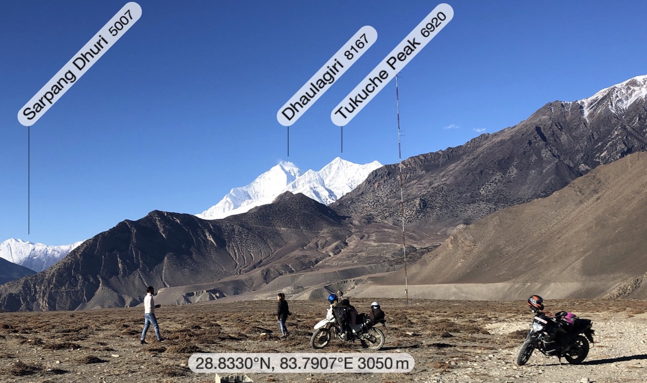
I stopped too as it was my first look at massive Dhaulagiri (8167m).

Walking asphalt is super easy. And the views kept getting better.

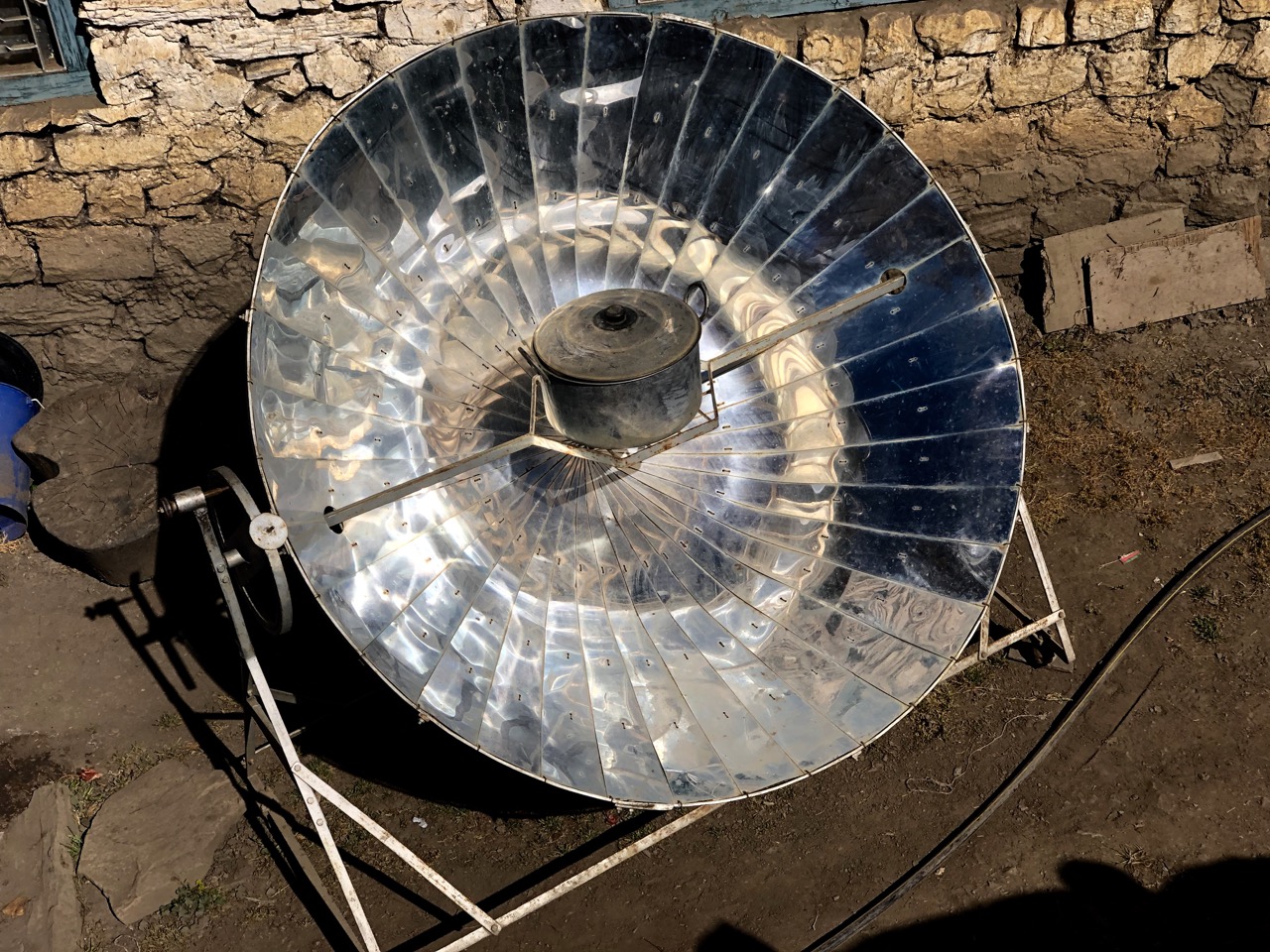
In arid Tibetan lands these solar powered water boilers are popular.

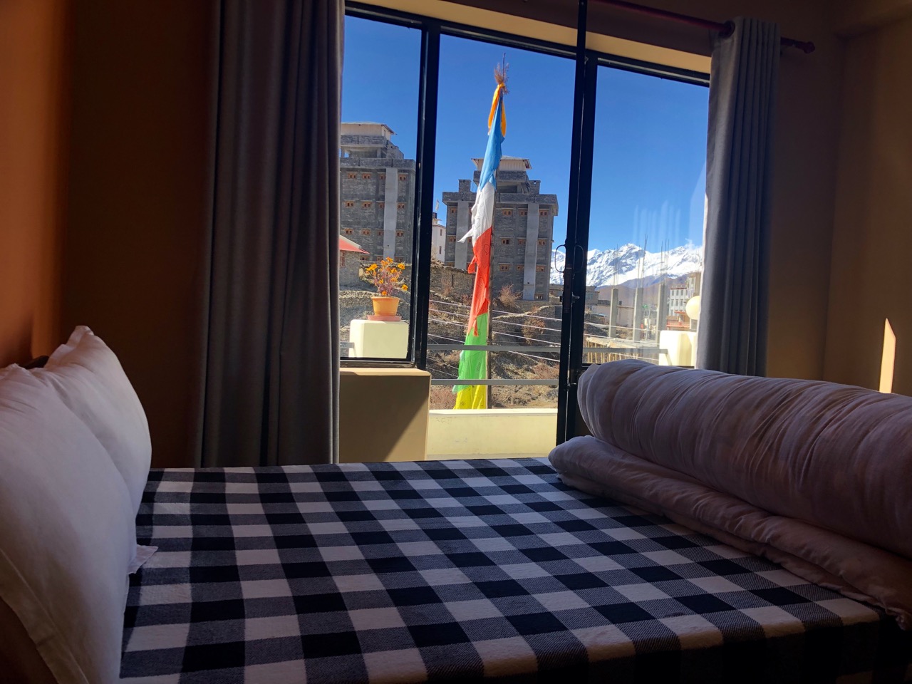
On arrival in Ranipauwa (3710m) I went straight to Mustang Cycle to organize my bike for the next day. They recommended the newest lodge. Probably the best room I’ve had, so far.

Muktinath (3800m) is one of the holiest pilgrimage sites in the Nepali Himalaya for both Hindus and Buddhists. There are far more pilgrims than trekkers at any given time.

In the afternoon I walked up to the main temple complex above town.

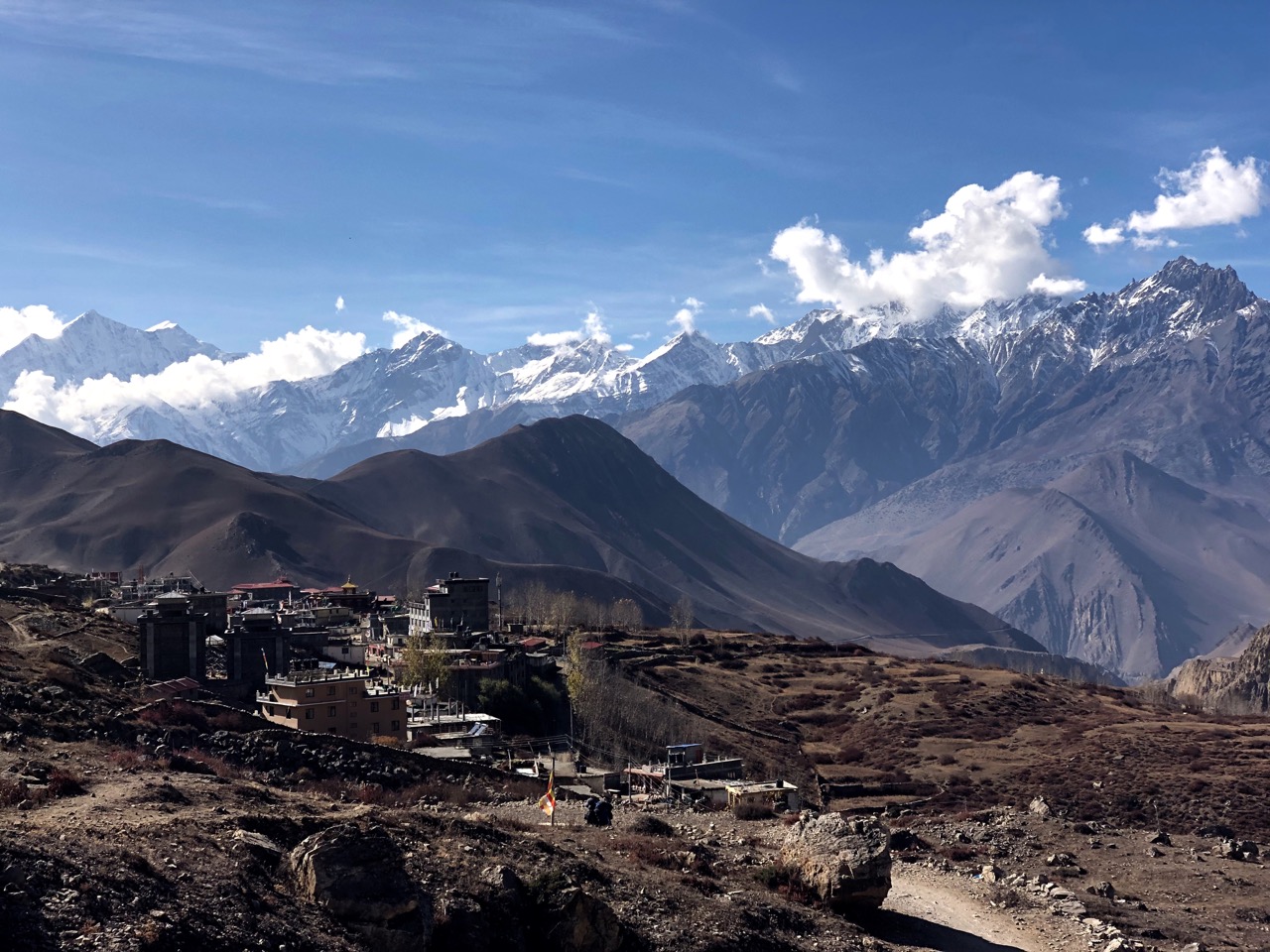
Muktinath (3800m) looking back to the village.

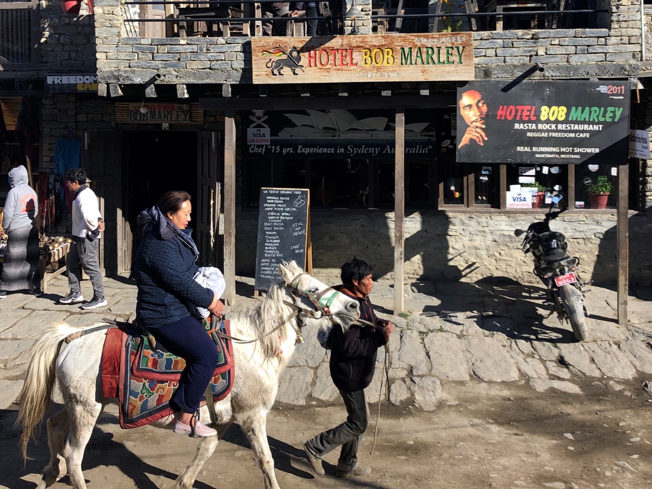
Many pilgrims choose to ride horseback. Indeed, this seems the biggest industry in town.

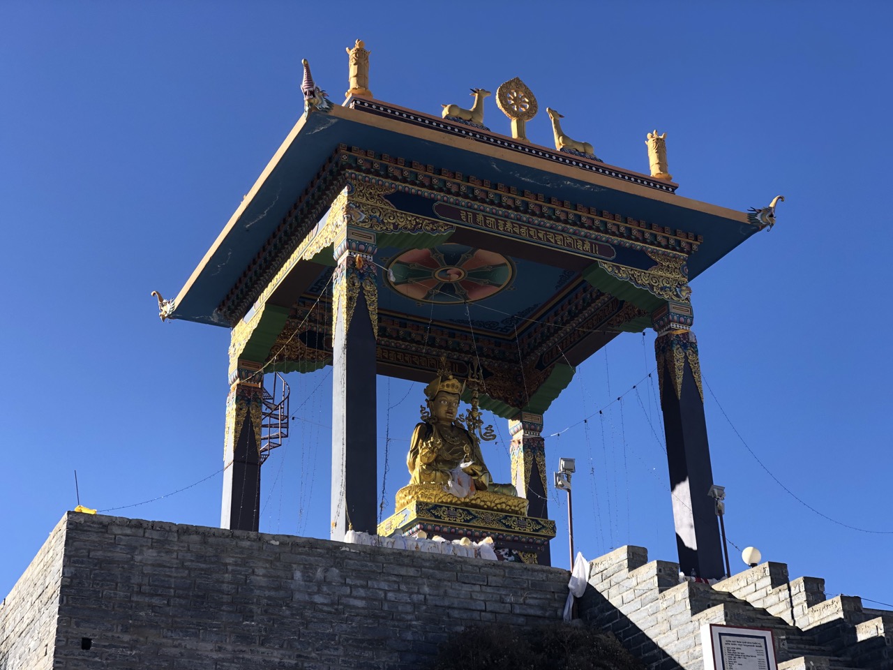
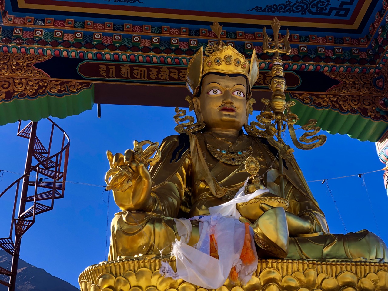
It’s easy to get confused as to what’s a Buddhist temple and what’s a Shiva temple.

Vishnu is worshipped here as Muktinath, the Lord of Salvation, 􏰩􏰟while Buddhists associate the deity with Chenresig, the Tibetan bodhisattva of compassion (yes, it’s complicated).

From there I continued over 2 suspension bridges to the village of Jhong (Dzong; 3580m) on the other side of the ‘river’.

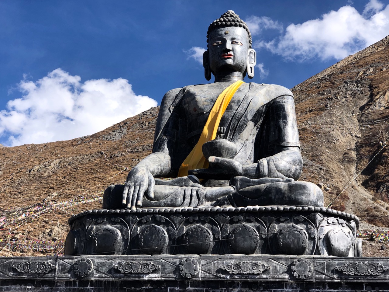
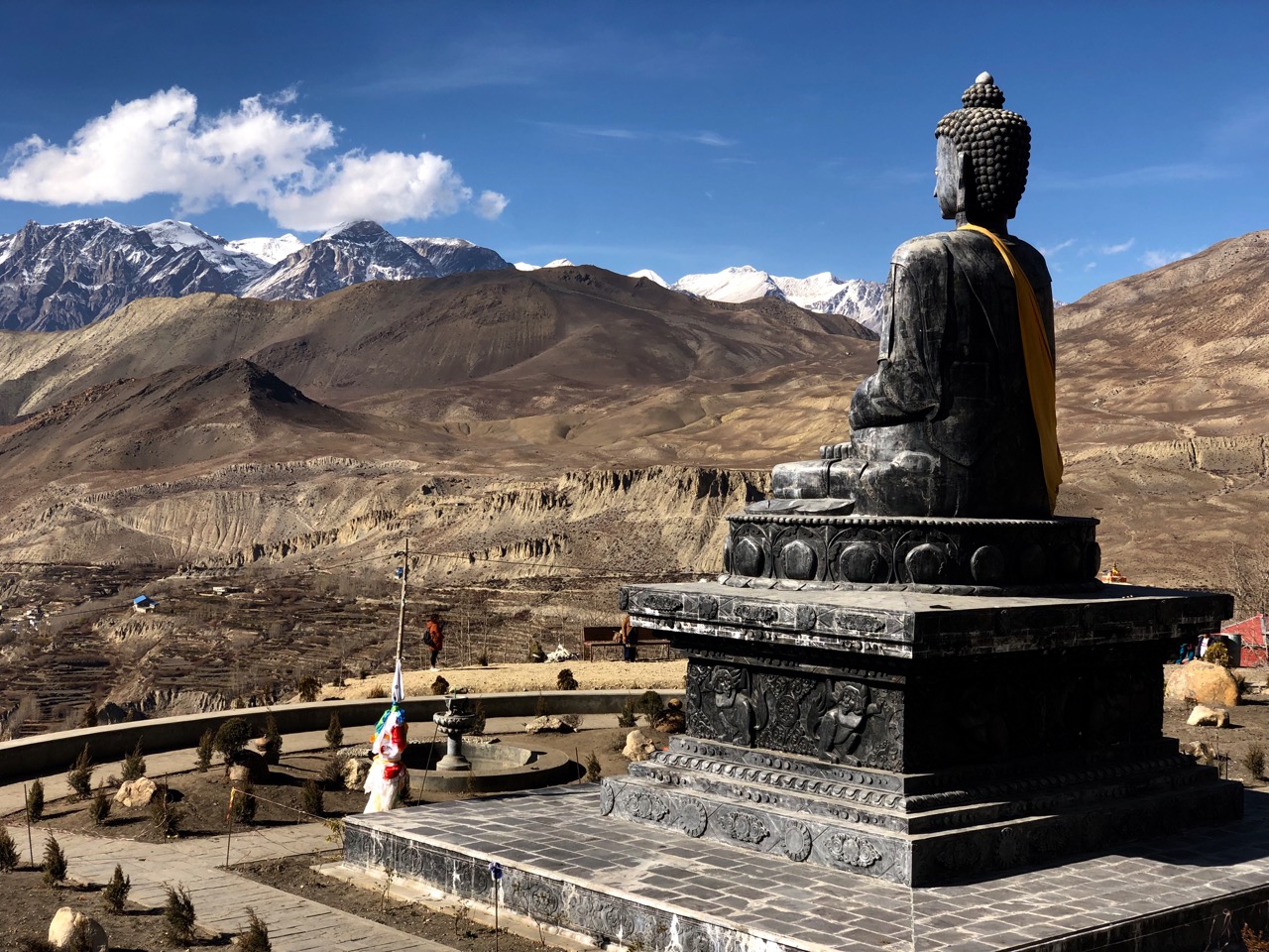
Six years ago one huge statue of Shiva was under construction. I sat on the roof at dusk, I recall. It’s finished now.

Great views from up there.

Muktinath in November is also filled with relieved trekkers having successfully crossed Thorung La (5416m) on the Annapurna Circuit, the highest most will ever climb.

That’s it between the peaks. It snowed up there during yesterday’s crossing.

Trip report by BestHike editor Rick McCharles – day 1 | 2 | 3/4
cycling Vegas to Red Rock Canyon

Trip report by BestHike editor Rick McCharles.

My favourite destination in Vegas is Red Rock Canyon.

It was Alistair Humphreys who first got me thinking about microadventures.

… short, simple, local, cheap – yet still fun, exciting, challenging, refreshing and rewarding. …

Visiting friends in west Vegas it was only about 10 miles to the Red Rock Canyon Visitor Center on excellent dedicated cycling lanes.

I cycled from their house short of the Conservation Area, turning one street early into the Calico Basin (no fees).

You can access similar gorgeous wilderness while avoiding crowds, parking hassles and entrance fee.

For the first time ever I cycled out onto the Kraft Mountain trails.

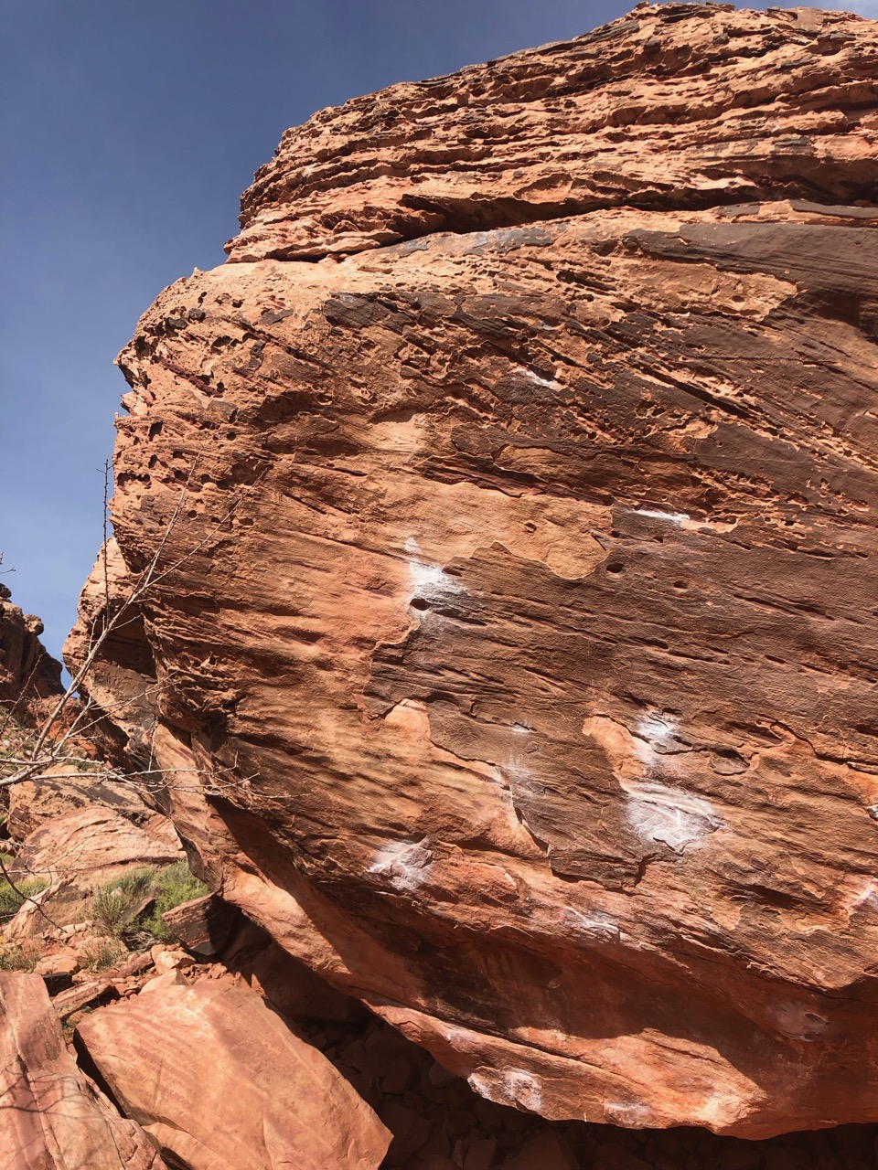
It was busy with locals climbing the Kraft Boulders.

Aside from April wildflowers, it was typical Nevada desert.

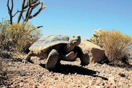
I did see one large desert tortoise, Nevada’s State Reptile.

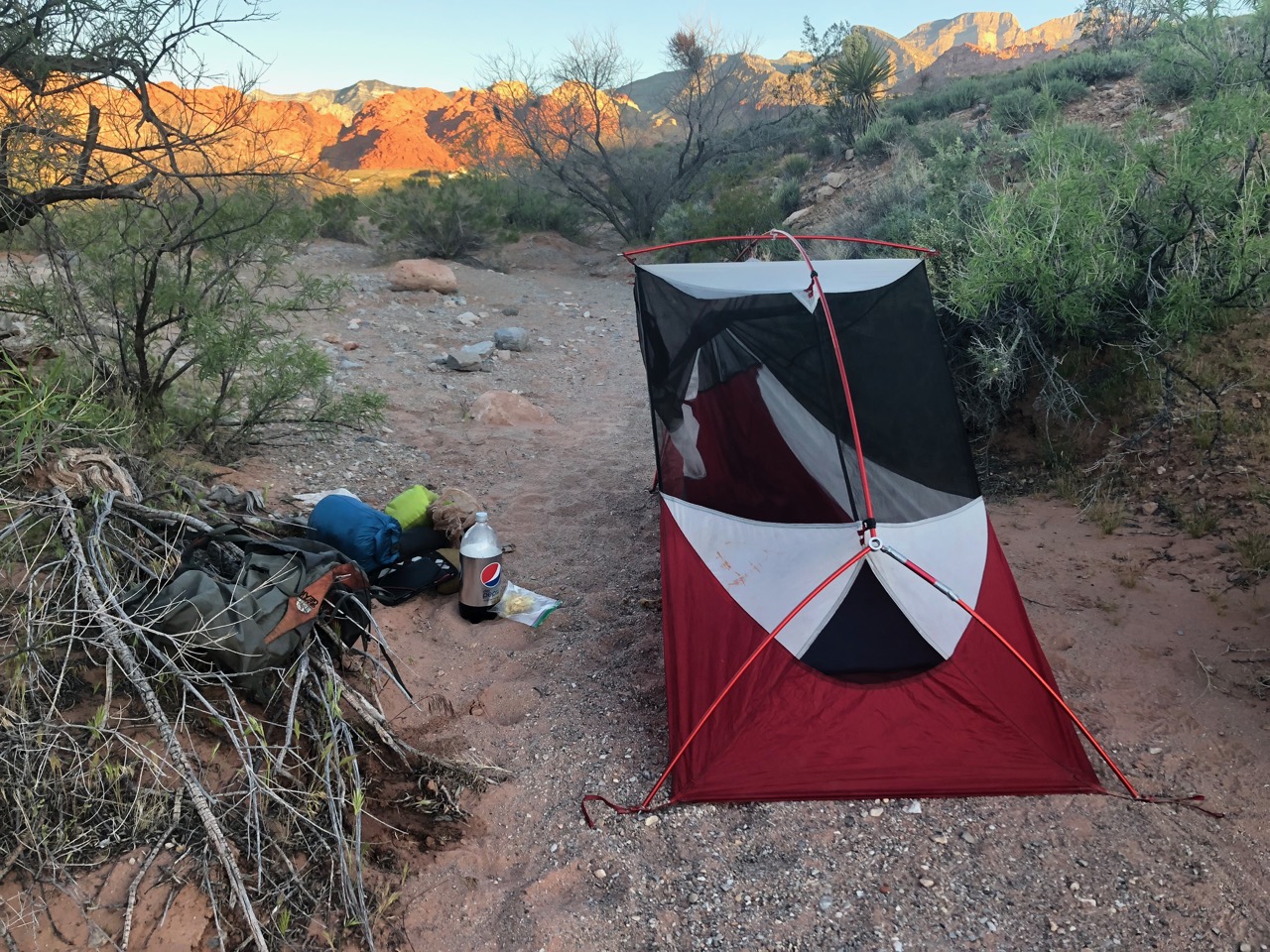
At dusk I set up my tent in a quiet, hidden spot.

Next morning starting at 5am I began hearing voices.

As it turned out I’d accidentally set-up close to an unmarked but popular local trail.

Oops.

Bikepacking the Great American Rail-Trail

By BestHike editor Rick McCharles

This summer I plan to cycle the western end of the new Great American Rail-Trail.

I’ll camp and also hike the best trails en route.

The preferred route connects 125+ existing rail-trails, greenways and other multiuse paths spanning more than 3,700 miles. About half of the route is on dedicated trails now, the other half in the works.

Click PLAY or watch it on YouTube.

I’m off to bikepack in Chile

Arriving Santiago January 11th, 2019. I’m planning up to a month on the Carretera Austral. Hiking a number of new National Parks and trails along the route.

This will be my 3rd trip to Patagonia over the past 4 seasons.

The Carretera Austral runs about 1,240 kilometers (770 mi) from Puerto Montt to Villa O’Higgins through (sparsely populated) rural Patagonia. …

This area is characterized by thick forests, fjords, glaciers, canals and steep mountains. …

Click PLAY or get a glimpse on YouTube. It starts with the WORST section.

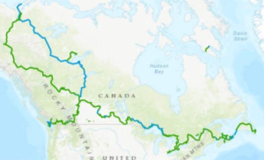
Canada’s 24,000 km Great Trail is complete

The longest network of recreational trails in the entire world. …

It is exclusively designated for recreational purposes and only allows bikes, hikers and horseback riders in the summer and in the winter it is used for cross-country skiing and snowmobiling. …

MTL Blog

This evolved out of the Trans Canada Trail. It’s been rebranded the Great Trail.

Nobody has done the entire thing. Yet.

thegreattrail.ca

“Route of Parks” in Chile – #FakeNews

Lonely Planet got it wrong. Vogue got it wrong. Other sites, as well.

The new marketing campaign by the Chilean government called “Route of Parks” is not a hiking trail. It’s a series of roads with occasional trails. And other outdoor adventure options along the way.

I’m hoping to bikepack part in 2019.

Click PLAY or watch the official video on YouTube.

Rough Guides got it right.

It’s a work in progress. Ultimately MIGHT be 1,500 miles long.

It’s one of the great conservation stories of all time: Last month Chile President Michelle Bachelet and American philanthropist and conservationist Kristine McDivitt Tompkins pledged to expand Chile’s national park system by just over 10 million acres—an area larger than Switzerland. …

National Geographic

If you are looking for a long thru hike in Patagonia, check the Greater Patagonian Trail route. It does not connect in any way with the Route of Parks because that’s a road. 😀

Thanks Jan Dudeck for the heads-up on this.