2017 trip report by site editor Rick McCharles – day 3 / 6
Keen to be on my way, I was up and on the road by 7:30am. Almost nobody awake.

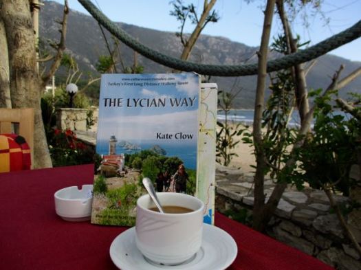
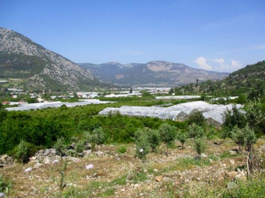
Finding the trailhead out of departing towns is the biggest challenge on the Likya. My guidebook said to head in the direction of a concrete bridge.
I spent about an hour wandering these greenhouses. No concrete bridge.
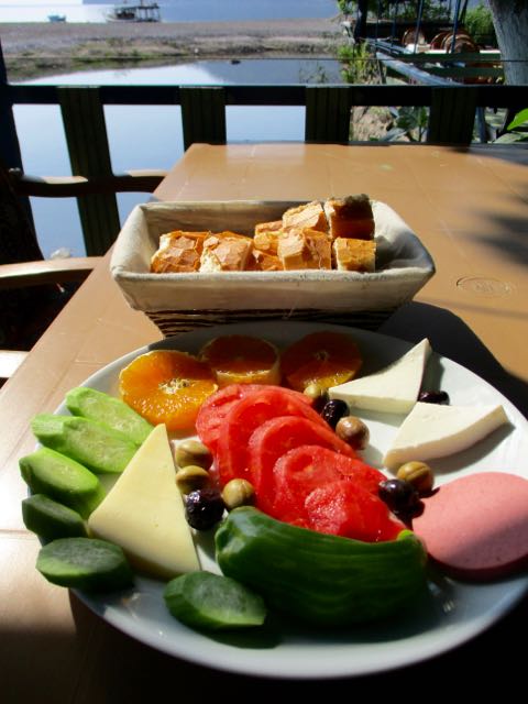
So … I walked back to my pension to enjoy the free breakfast I’d missed. Breakfast starts about 8:30am in Turkey.
I got conflicting advice on how to find the Lycian Way. If I spoke a bit of Turkish it would have been easier.
I’d seen this road sign earlier. No concrete bridge. But I was heading for Olympos.

I waded across this creek. And found an alternate (better) route out of town.

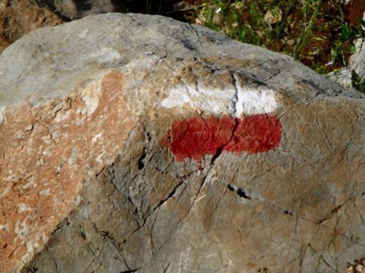
My trail eventually intersected with the Lycian Way proper.
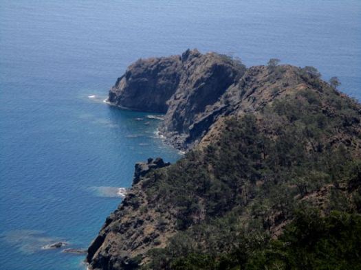
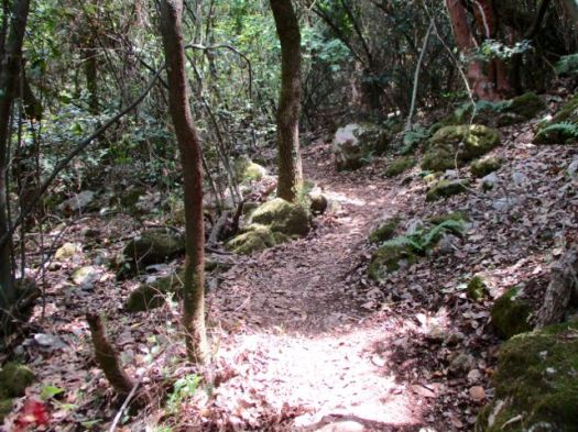
It was clear sailing now.
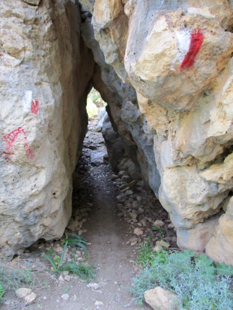
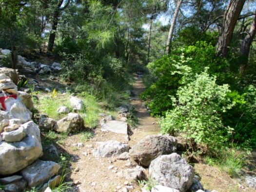
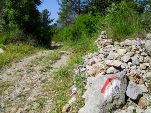
Navigation was easy, I mean. But this trail seems little used. There is a lot of deadfall over the track.
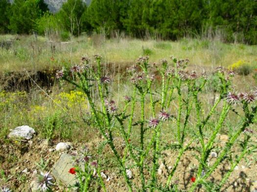
Happily there are few thorny or stinging plants. Few. Not none.
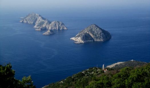
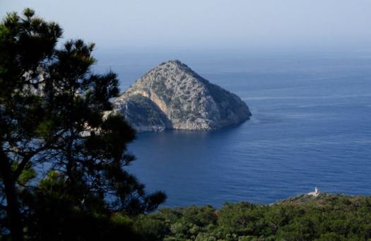
It was a long way up to some meadows.


On this section I saw only one hiking couple from France. And an old gent selling fresh squeezed orange juice.
I did come across the second land tortoise of my life. About a foot long.

Happily much of the day’s hiking was in the trees. No sunburn. Love the Mediterranean climate.
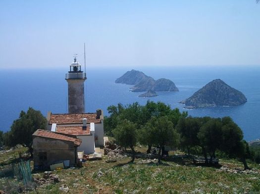
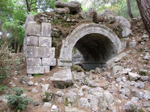
Getting down was much easier than climbing up. Eventually I exited in the middle of … OLYMPOS. In the Necropolis Tombs some dating from the 1st century AD.

The Olympos ruins themselves are quite impressive, not as much so as Ephesus but still worth seeing. The relative lack of tourist traffic compared to Ephesus means the site is largely overgrown, which gives the place a “mystical” feel, so you have to do some hiking to get to some of the remains. …


Strangely there seems to be no easy way to enter or leave OLYMPOS. This couple ended up turning back. Lost.

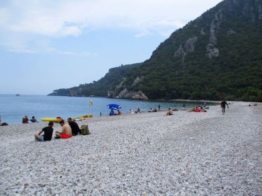
Here’s the official entrance. You need swim, wade or scramble to get here from the beach.


All in all Olympos was one of my favourite stops during the week.

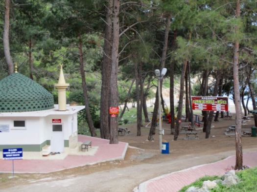
There is a Hippy enclave uphill from these ruins. I gave them a miss and carried on into town.
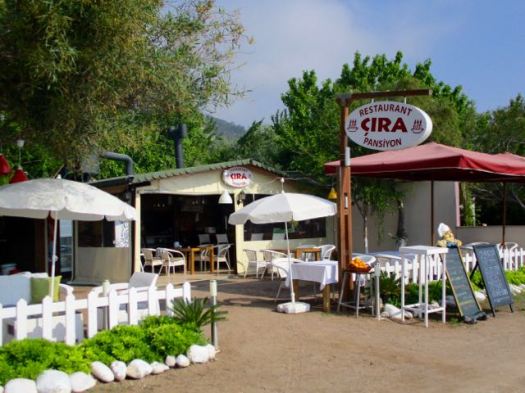
I walked all 4km of the beach front of Çıralı checking with pensions and hotels recommended by Lonely Planet.
In the end I backtracked all 4km with full pack to one of the first pensions. (US$33 including breakfast and fast wifi.)
No time to rest. I borrowed a pension bike and cycled the same 4km and 3 more up to some eternal flames.


Çıralı is walking distance from the ancient ruins of Olympos and Chimaera permanent gas vents …
… Chimaera was the name of a place in ancient Lycia, notable for constantly burning fires. …
Pliny the Elder, who in his second book of Historia Naturalis identified the Chimaera with the permanent gas vents in Mount Chimera, in the country of the ancient Lycian city of Phaselis …
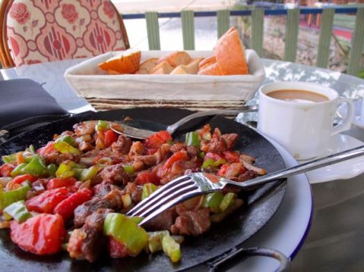
I felt I’d earned my big salad and chicken dinner this day.


 Turks are litterbugs. I’d seen that in town. And it seems there’s nobody responsible for carrying out trash.