Lantzville Lookout, Nanaimo B.C.

Lantzville Lookout is a popular day hike off the Copley Ridge network of trails near Lantzville on Vancouver Island.

Regional District of Nanaimo is still trying to make the Lookout official, as of August 2020.

In the meantime, signage is home made. I can’t say it’s easy to find.

I went in November. A relaxing day hike.

It’s a steady climb. But getting to the Lookout makes it worthwhile.

Some young people had set up at the campfire on the Copley Ridge trail. They had just departed as I returned.

It was a mellow hike. So I put together a mellow video. As always, audio is just as important as video.

Click PLAY or watch it on YouTube.

Troubridge Trudge – Sunshine Coast Trail, B.C.

Trip report by BestHike editor Rick McCharles.

click for larger version

I’d previously hiked two other sections of the (roughly) 180km Sunshine Coast Trail:

Sarah Point to Manzanita hut (2015)

Mowat Bay to Lois Main (2016)

Pestered by wasps and other biting insects on those two earlier trips, I deliberately returned late season. No bugs.

This time I headed for the Troubridge Trudge section:

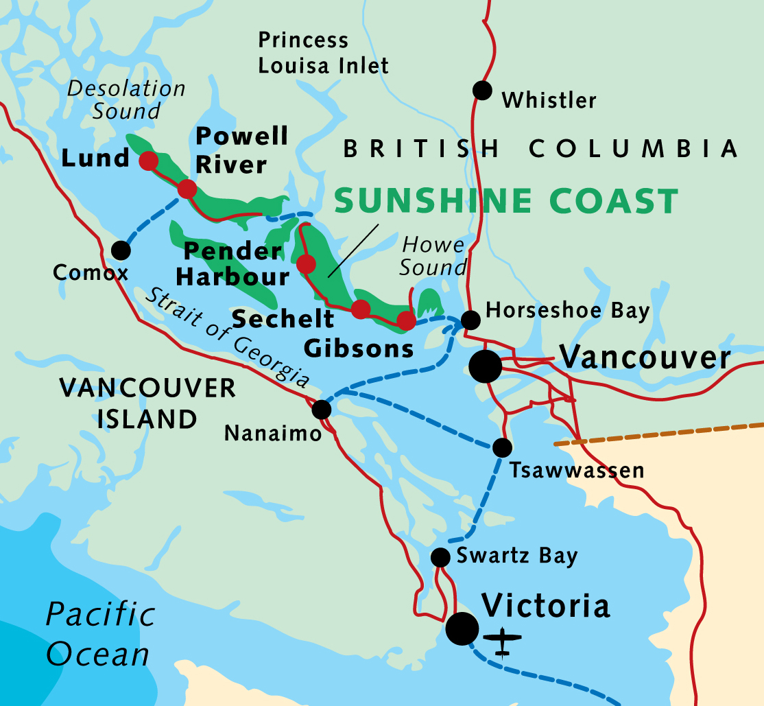
Oct 24 – Lang Bay to Golden Stanley hut (km 145)
Oct 25 – Golden Stanley to Mt Troubridge hut (km 158)
Oct 26 – Troubridge to Fairview Bay hut (km 173)
Oct 27 – Fairview to Lang Bay (km 180)

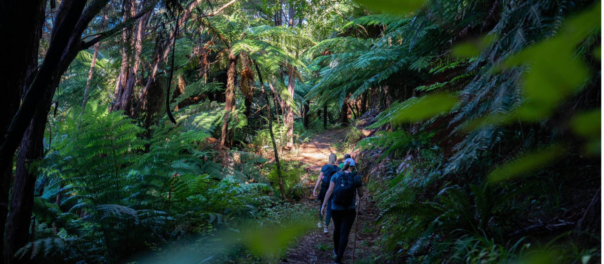
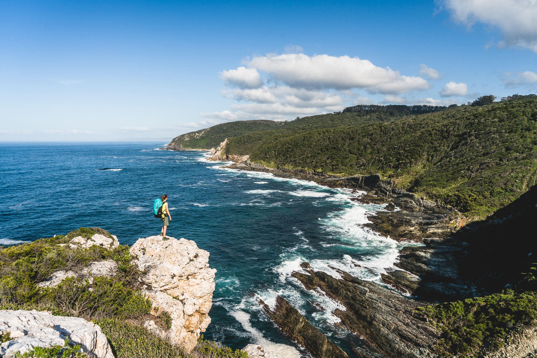
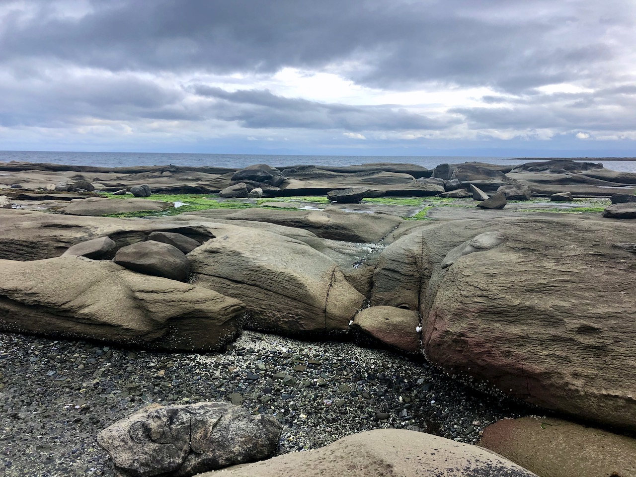
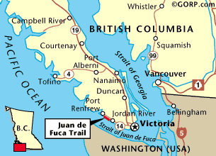
You can hike 42km in either direction. It’s called the trudge as this is the highest section of the Sunshine Coast Trail.

click for larger version

More maps.


Having reached the Sunshine Coast via ferry from Comox, I stayed in a Powell River hotel.

Harbour at dusk

Weather forecast looking good next morning, I cycled down to Lang Bay.

A lovely autumn day.

Hid my bike in the trees close to the highway near Lang Bay.

Walked the gravel road called Canoe Main to join the Sunshine Coast Trail on Lois lake. (I could have walked Lois Main, the older road.)

Lois lake was created by a dam.

The mountains beyond the lake look tempting.

You eventually turn uphill inland on a trail towards Elephant lake.

It’s steep but not all that far to Golden Stanley hut, completed 2016. It’s not mentioned in my guidebook published 2013, of course.

I was carrying my tent as I’d seen online that the huts were closed due to COVID-19.

But the hut was open after all. Since I was the only person there, I moved in.

Impressive pit toilet.


Oct 25 – Golden Stanley to Mt Troubridge hut (km 158)

Mt Troubridge is the highest point on the Sunshine Coast Trail. I was happy to have good weather.

On the other hand, surprised to see snow at such low elevation in October.

It was Ho Ho Ho. ๐Ÿ˜€

In 2020 everyone takes the newer of two possible trails to the summit. The best route is always well signed.

I still easily reached Troubridge hut by early afternoon.

Here’s how it looks in summer.

And here’s how it looked when I arrived.

Mt Troubridge hut was flown up in pieces by helicopter.

It replaced the Troubridge Hilton, a small communications hut that’s now more used as an emergency shelter on the top of the mountain.

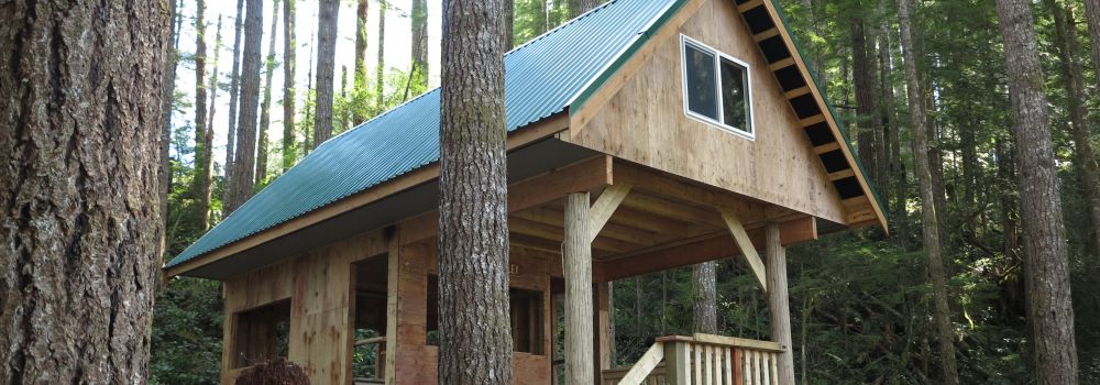
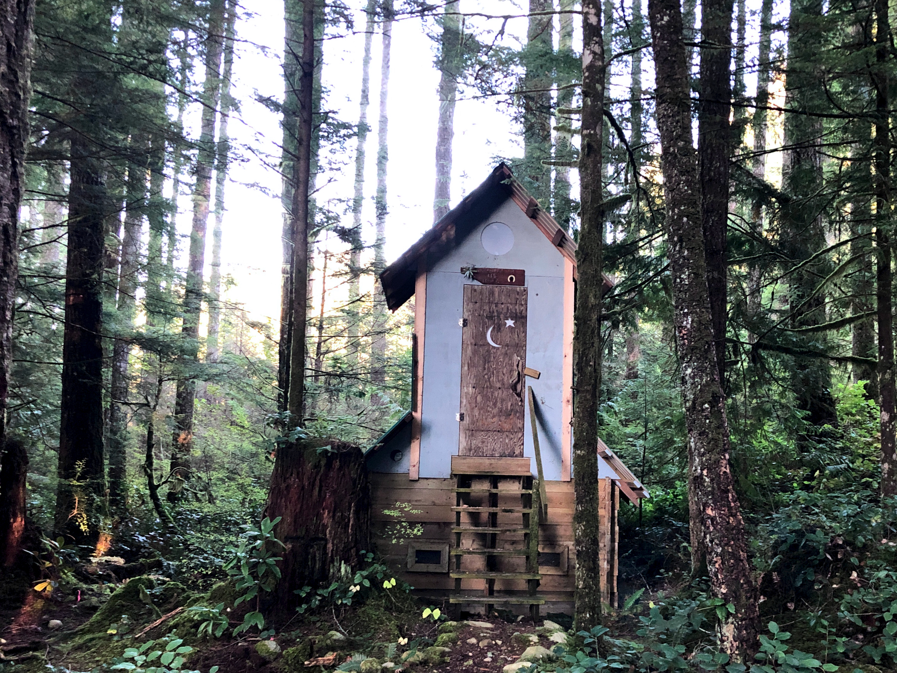
I assumed I’d have Troubridge hut to myself again when Chris and his dog arrived. Rather than sharing a small space, Chris took the A-frame. I stayed in the hut on my own.

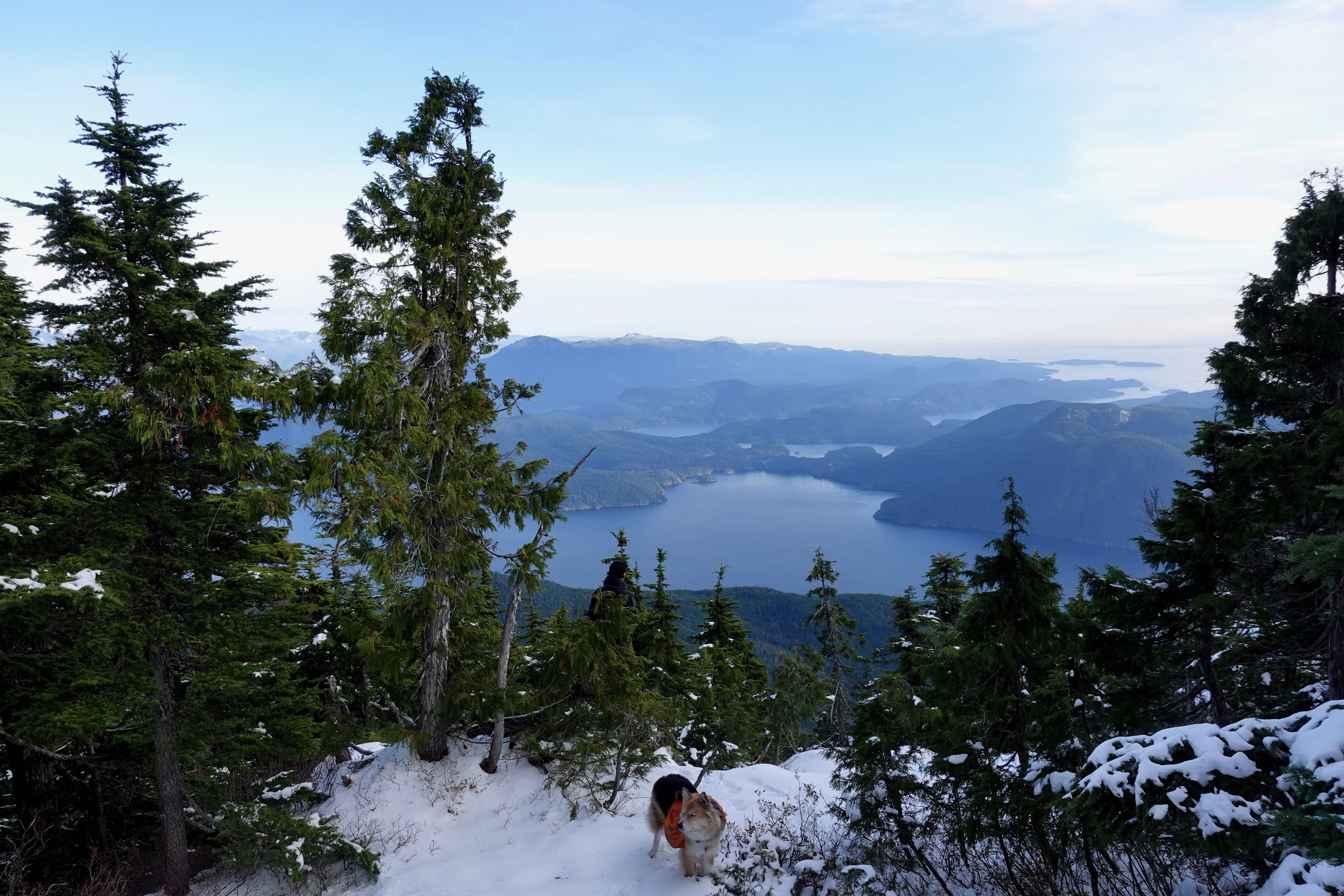
He had the views of Jervis inlet and could see all the way to Powell River.

Turns out winter camping is quite comfortable โ€” when you can sleep in a hut rather than a tent.

I took plenty of winter wonderland video. And later managed to accidentally delete most of it. Somehow. ๐Ÿ˜•


Oct 26 – Troubridge to Fairview Bay hut (km 173)

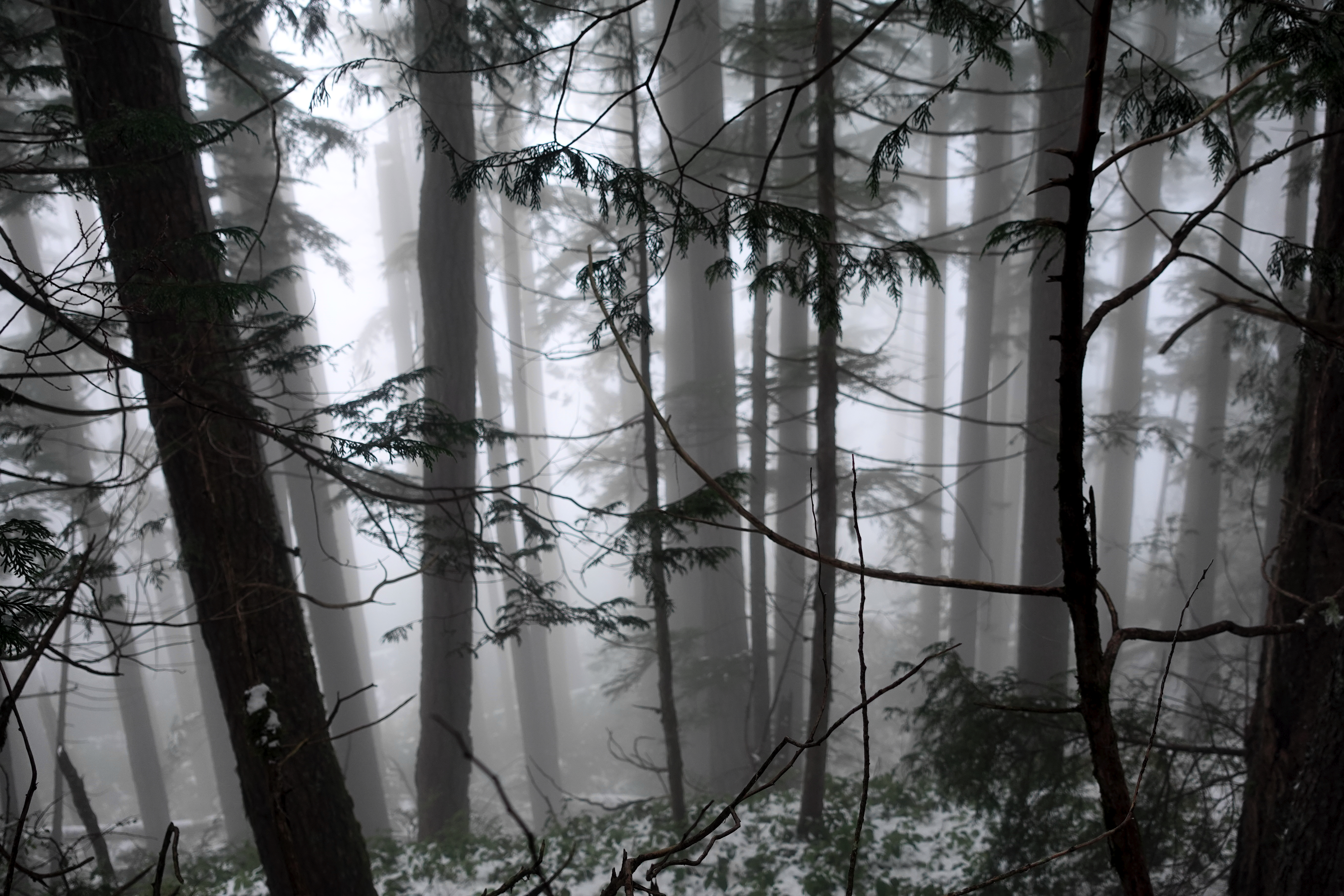
More good weather. I was worried the descent might be slippery, but new snow was mostly grippy. No problems in approach shoes.

Navigation no problem in winter either.

I stopped 800m lower for lunch at Rainy Day lake (km 169) which has a hut.

Winter hiking is much different than doing the same thing in summer.

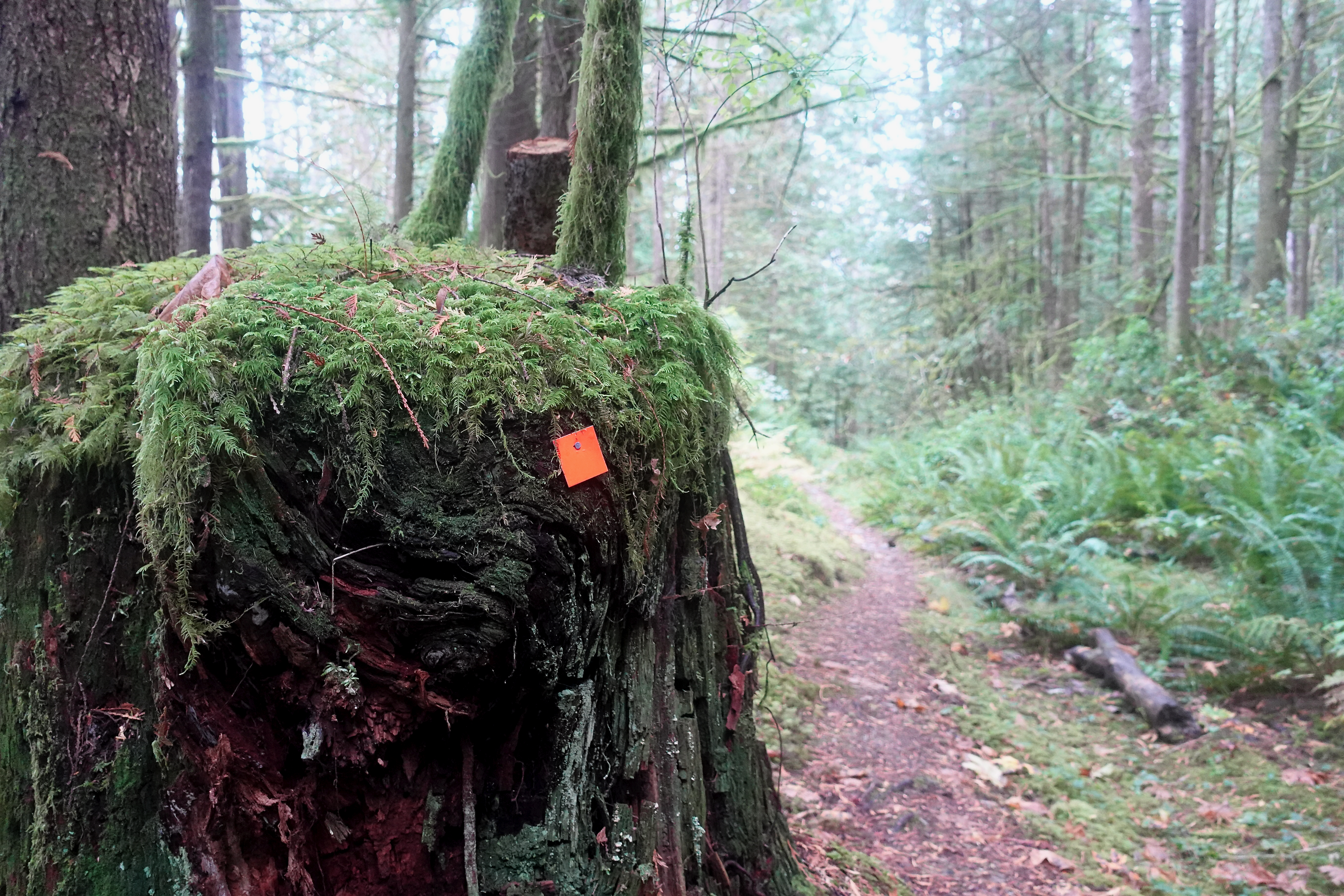
Eventually snow disappeared. Went away. Like magic. ๐Ÿ˜€

It got easier on the way down to Fairview Bay.

Again I had the hut to myself.

And again I had plenty of time for photos.


There’s the ferry I’ll be catching to North Vancouver.

Next morning a leisurely 2 hour walk out. Autumn is my favourite time of year for hiking.

This is the end of the South Coast Trail. But I have one section left to finish, close to Powell River. Looking forward to it already.

I had to telephone the bus for pick-up. But it only cost $2.25 to get me back to Lang Bay where I retrieved my bike.

If you want to learn more about Canada’s longest hut-to-hut hike, check first the official website and our own information page:

BestHike – Sunshine Coast Trail

sunshinecoast-trail.com

Seal Bay, Courtenay, British Columbia

Trip report by BestHike editor Rick McCharles.

Seal Bay Regional Nature Park, Courtenay, B.C. offers some of the best walking in the Comox valley.

Easy access. A city bus gets you to the trailhead.

Many of the trails are hikers only. A few allow bikes and horse.

Click PLAY or get a glimpse on YouTube.

Great Walks of Tasmania

We rate Tasmania the best hiking destination in Australia.

Click PLAY or see why on YouTube.

That video is a promotion for the Great Walks of Tasmania website, a collective of companies offering guided walks.

It’s easy to hike independently in New Zealand. Tasmania is more challenging. You might want a guide.

For one thing, there are poisonous snakes and other dangers in Tasmania. No poisonous snakes in New Zealand.

related – our Overland Track information page

The wonderful Otter Trail, South Africa

msmap

AT A GLANCE

  • South AfricaTsitsikamma National Park
  • 42km
  • 5 days, 4 nights
  • clean huts, no tent needed
  • permits are difficult to get as only 12 hikers start each day. December and Easter holidays are highest demand.
  • Recommended to book 12 months in advance. (Because folks book so early, it’s often possible to get a last minute cancellation spot.)

Deborah Schรคfer and Hugo Vincentย posted a lovely trip report on the Arcteryx blog.

They loved it. ย But warn us of the dangersย crossing the bigger rivers such as the Lottering and the Bloukrans.

Hugo Vincent, South Africa, Otter Trail

On the other hand, we’re advised to bring a bathing suit as there are plenty of fresh water and salt water opportunities en route.

Hugo Vincent, South Africa, Otter Trail

It’s one of our top 10 coastal hiking trails in the world.

Hugo Vincent, South Africa, Otter Trail

If you want to organize it for yourself, check our Otter Trail information page.

Cycle hiking Gabriola Island, B.C.

Trip report by BestHike editor Rick McCharles.

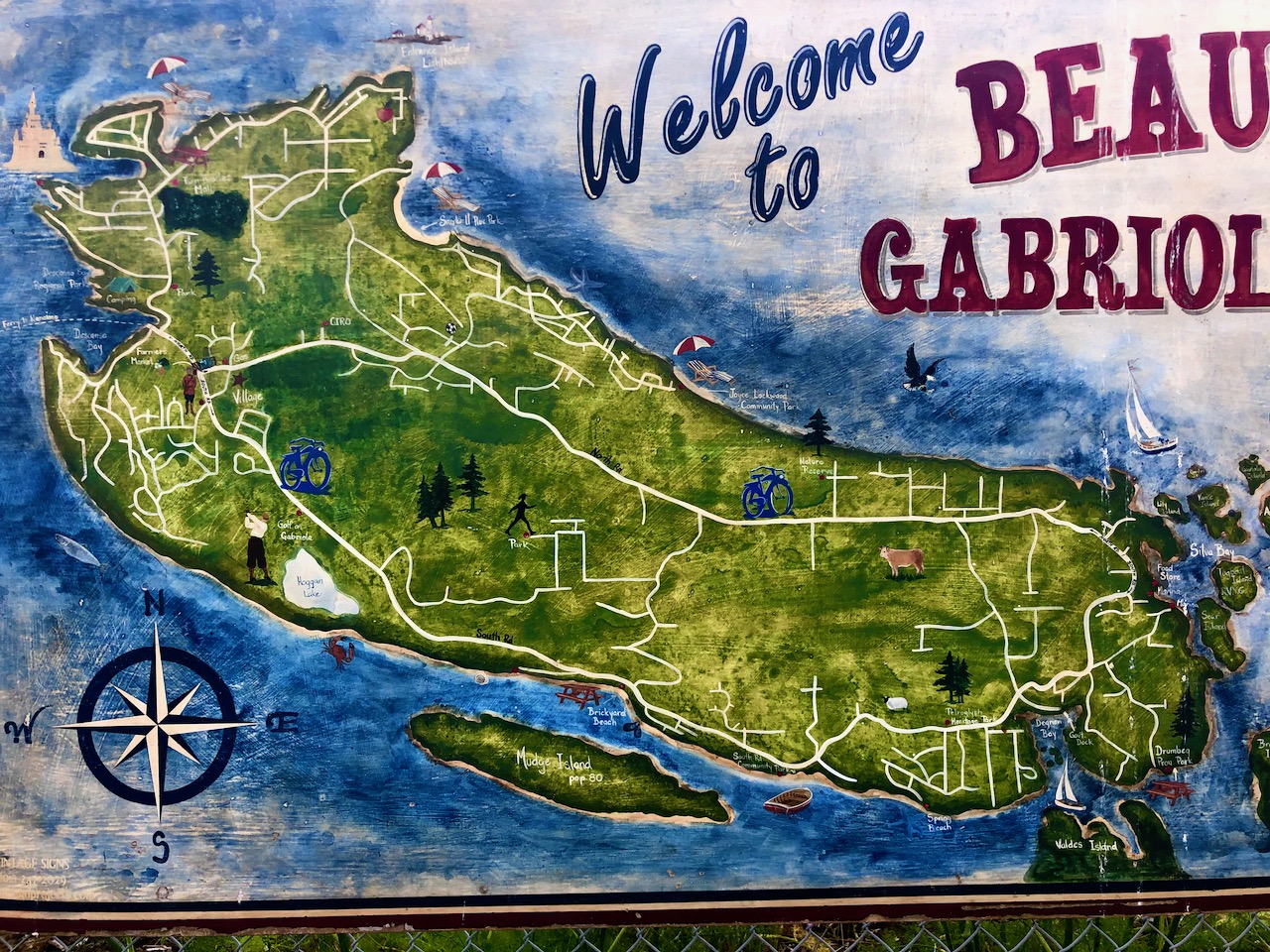
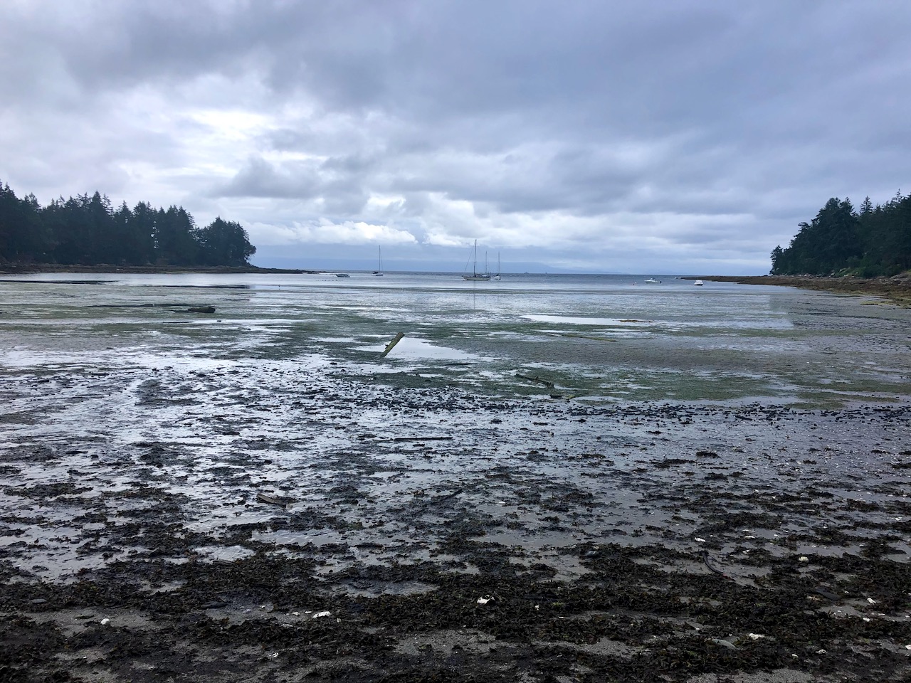
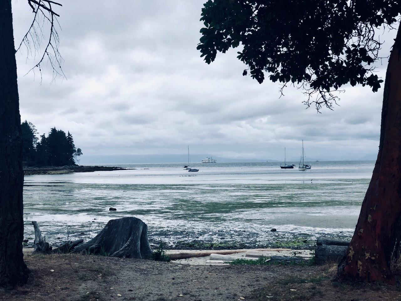
On July 1, 2020 I cycle toured Gabriola Island, the first time I’d been back to the island since I was a kid on family summer vacation.

Gabriola is about 14 kilometres (9 mi) long by 4.2 kilometres (2.6 mi) wide, about the same land mass as Bermuda.

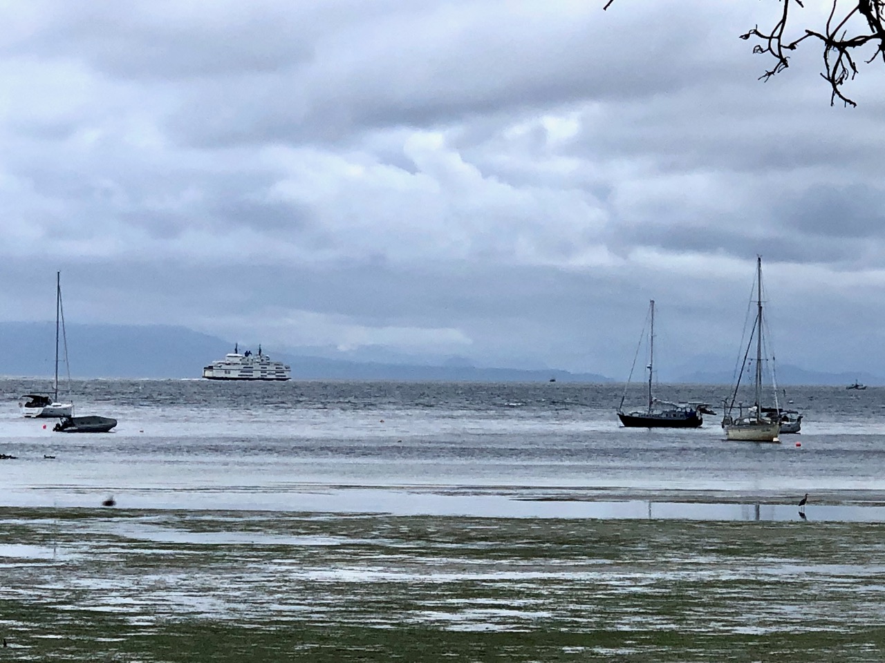
I caught the ferry over from Nanaimo in the early evening.

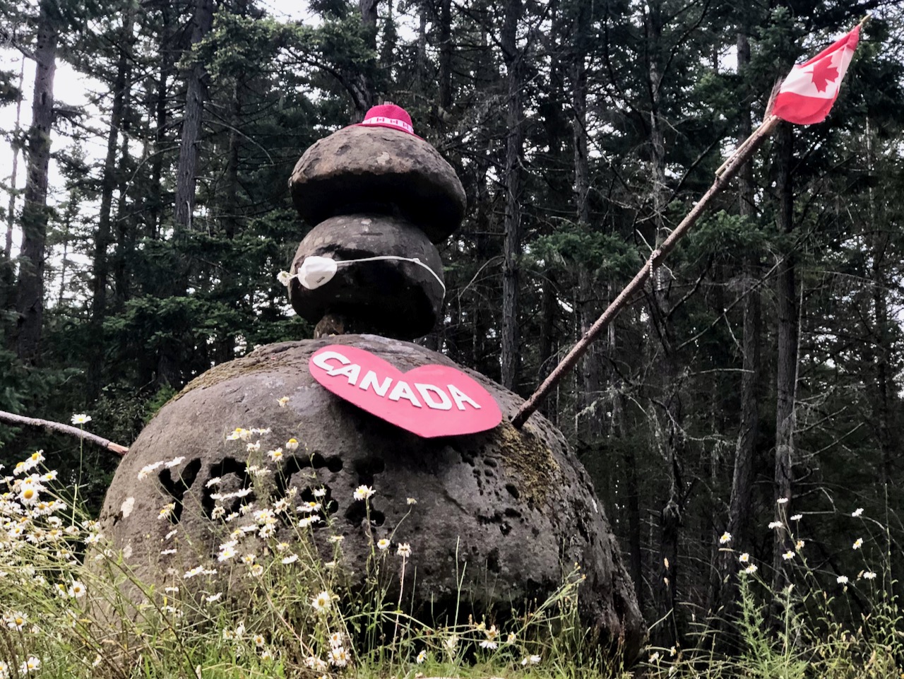
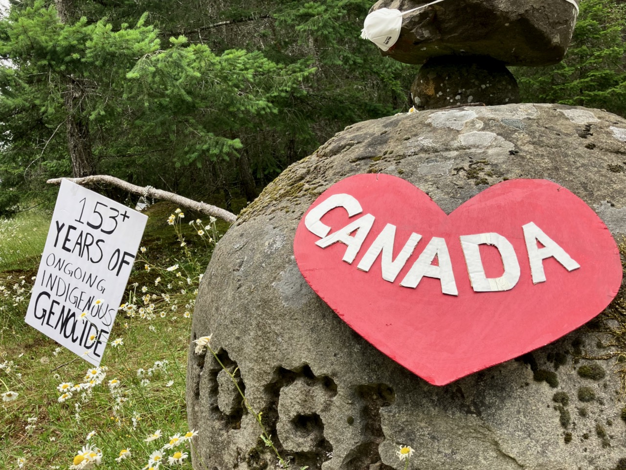
Next morning, while celebrating Canada Day, I was reminded that descendants of the original inhabitants are still there โ€”ย the Snuneymuxw, a First Nation of the Coast Salish People.

Sobering.

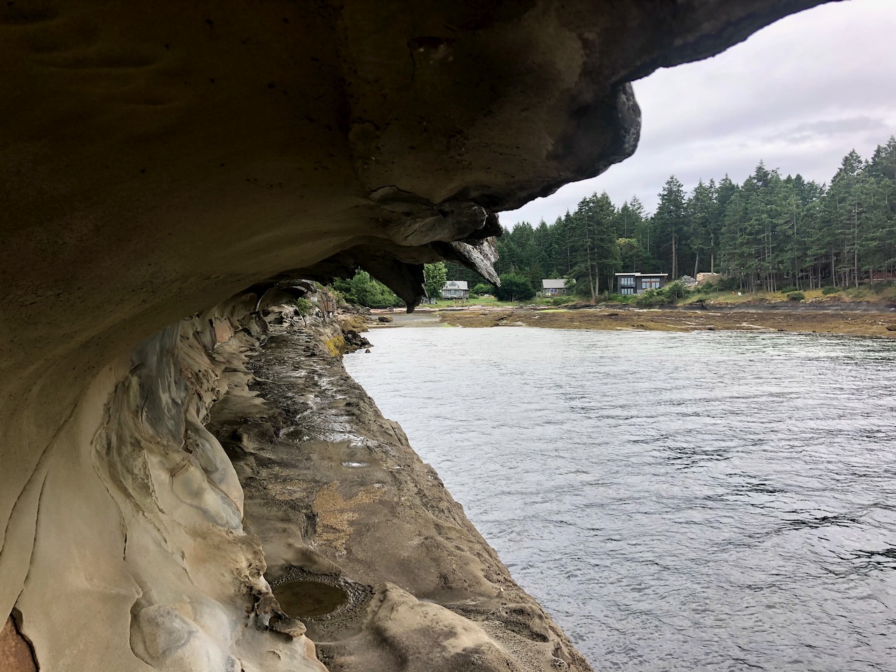
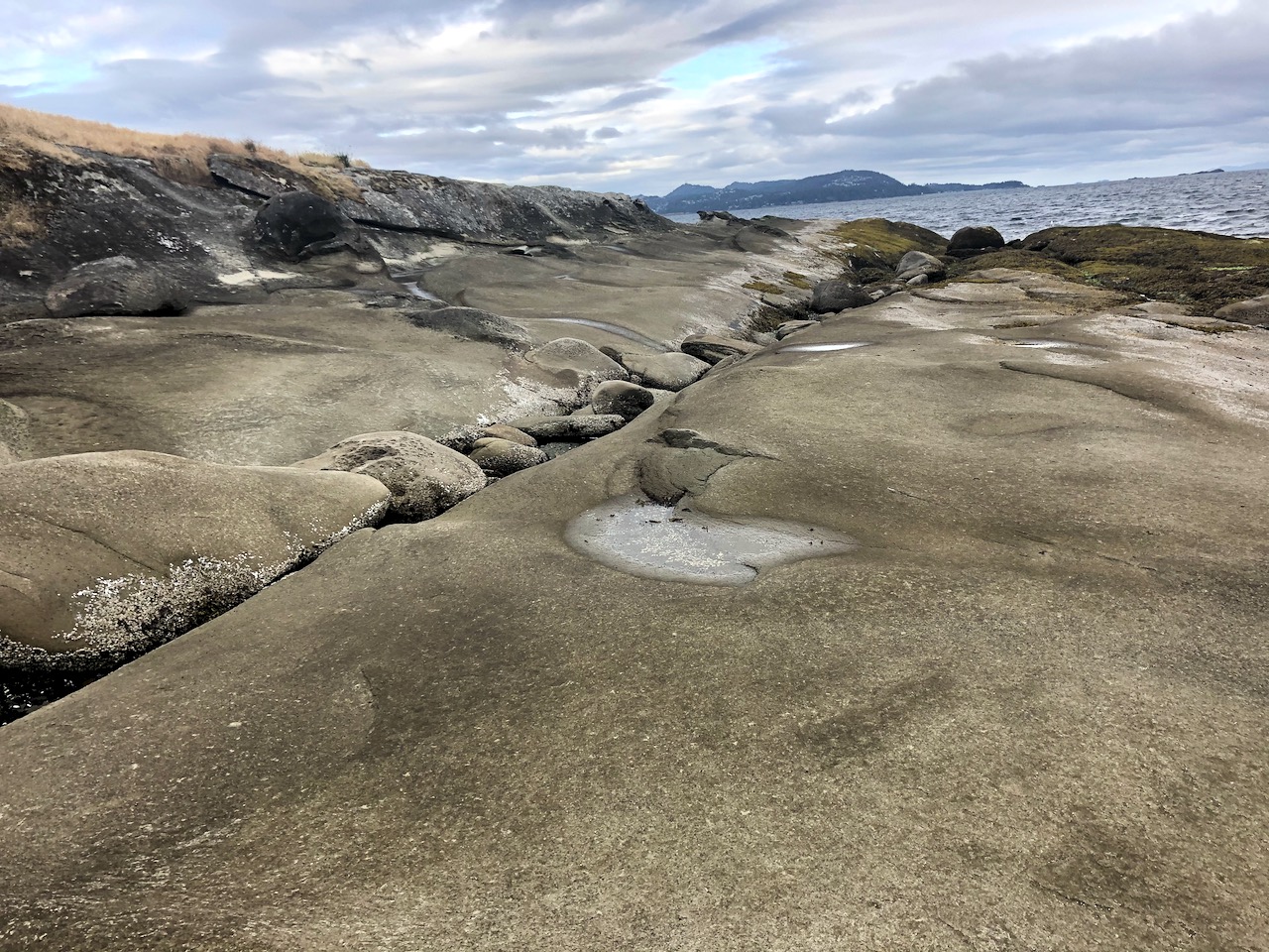
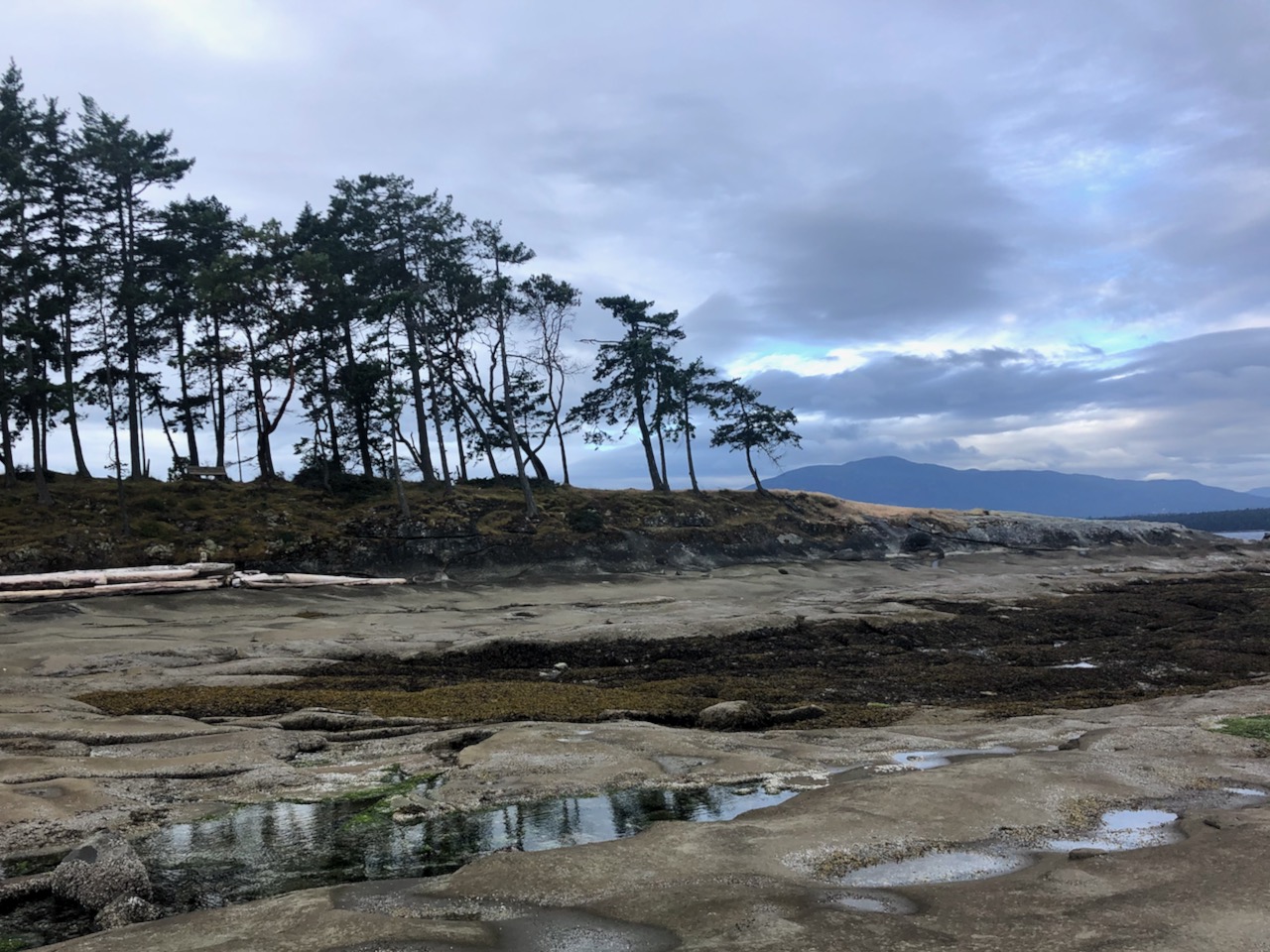
First stop was the Malaspina Galleries, a sandstone cliff carved by wind and waves. Lovely shoreline, as well.

To navigate I used Cycling the Islands: A Guide to Scenic Routes on the San Juan and Gulf Islands by John Crouch.

And Hiking Trails 2: South-Central Vancouver Island and the Gulf Islands by Richard K. Blier.

Gabriola is less developed than I anticipated. ย A definite hippy vibe.

I circled the island counter-clockwise, stopping next at Sandwell Provincial Park.

Popped in briefly to Joyce Lockwood Community Park.

There’s a marina and campground at Silva Bay at the far end of the island.

Cycling and hiking temperate rain forest is wonderful when it’s not raining. And the rain held off this day.

My last stop was Drumbeg Provincial Park.

One day was enough to explore Gabriola. All good. The hiking trail infrastructure is excellent for a small island. Paths well marked.

All trails are short and easy.

I recommend Gabriola.

Juan de Fuca Trail, Canada

The West Coast Trail is the best hike in the world. Right?

But we recommend neighbouring Juan de Fuca Marine Trail precisely because it is not the WCT. ๐Ÿ™‚

AT A GLANCE

  • it’s the West Coast Trail ‘alternative’ that does not cost money nor require a permit
  • coastal hike of 47km (29mi) sharing one of the WCT trailheads – Port Renfrew
  • no reservations needed
  • no quota on number of hikers
  • plenty of bears

Click PLAY or watch an August 2012 hike on YouTube. (2min)

Click PLAY or watch it on YouTube. ย Aug. 2016. Great weather.

Check out out ourย Juan de Fuca information page.

Flรธrli stairs – 4444 steps

Theย Flรธrli Power Stationย is aย hydroelectricย power stationย located on the shores ofย Lysefjordย in the municipalityย Forsandย inย Rogaland, Norway.

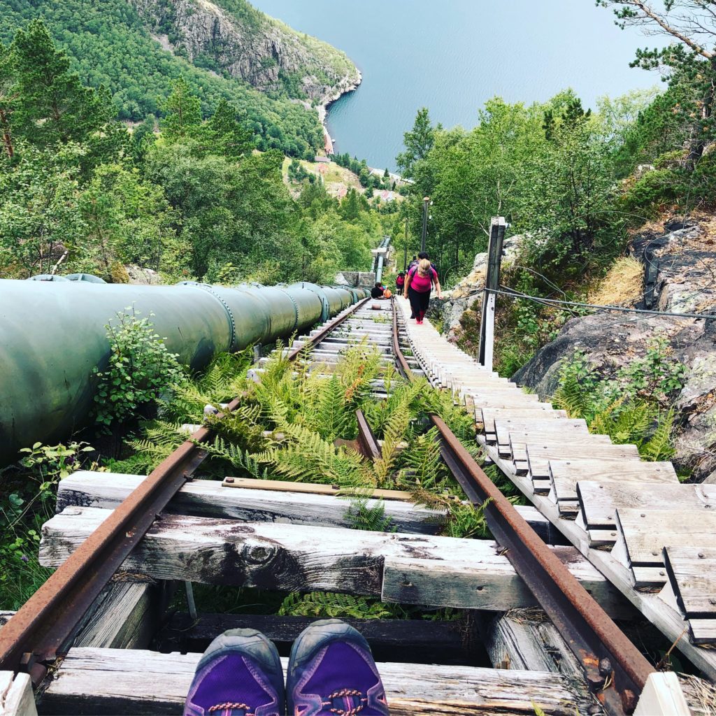
Though decommissioned in 1999, you can still climb the wooden stairway with 4,444 steps. ย The longest wooden staircase in the world.

Some call this adventure Flรธrli 4444.ย 

There are longer staircases in the world. Highest is theย service stairway for theย Niesenbahnย funicularย railway nearย Spiez,ย Switzerland, with 11,674 steps. But that one is only open to the public one day a year.

Click PLAY or watch it on YouTube.

Trans-Catalina Trail, California

As I post the current operation system of Mac computers is called Catalina.

…ย only 27 miles off the coast of southern California.

Though Catalina is a short 90 minute boat ride away, it feels like another world. There are two small, quaint towns on the island โ€” Avalon and Two Harbors โ€” and the remainder of the island is primarily wilderness managed by the Catalina Island Conservancy.

The 37.2 mileย Trans-Catalina Trailย traverses the entire island, from Avalon on the eastern tip to Starlight beach at the western end.

Of course, once you get to the end, youโ€™ve still got to hike back to Two Harbors to catch a boat back to the mainland. This adds another nine miles, making the total mileage a bit over 46 miles โ€” perfect for a long weekend backpack getaway. …

SoCal Hiker – Trans-Catalina Trail

West Coast Trail is #1 in the world

UPDATE – About 7500 hikers have permits for the West Coast Trail starting May 1st. But the hike is not being prepped right now โ€” my guess is that it will be closed for all of 2020.

Since the start of this website we’ve ranked the West Coast Trail on Vancouver Island our favourite multi-day hike anywhere.

wct_logo_large

Click PLAY or Jeff Pelletier’s 2017 hike on YouTube.

If you’d like to plan to do the WCT yourself, check our information page.

Reservations start in early January for June – September of the same year.

(via Adventure Blog)