On June 19, 2013, Waterton Lakes National Park received over 200 mm of rain in less than 24 hours, twice the amount which normally triggers a flood watch.
Most facilities that were damaged by the June 19 storm were quickly repaired and re-opened. This includes all campgrounds, most trails and bridges, the Red Rock Parkway and the sewage lagoons.
The Akamina Parkway sustained the heaviest damage … and repairs began July 1. …
The Akamina Parkway remains closed during reconstruction. …
read more – Akamina Parkway Repair Updates
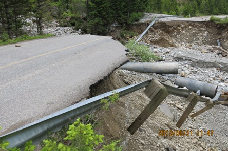
We were there this past week. Akamina Parkway is still closed.
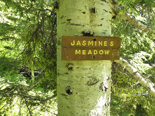
That means road access to about ⅓ of the most popular hikes in Waterton have been inaccessible this season.
That means I was once again not able to complete the Fantastic Four hiking challenge, a sponsor of this site. 😦
Akamina Parkway repairs have actually been going well. Everything will be open again for 2014.
Parks Canada operates three vehicle-accessible campgrounds in Waterton:
• Townsite Campground
• Crandell Mountain Campground
• Belly River Campground
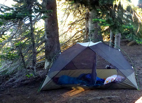
Right now — due to BEAR activity — you can only tent at Townsite.
We wanted to tent so opted instead for Crooked Creek Campground outside the Park, privately-operated, less expensive.