trip report by besthike editor Rick McCharles
day 1 | day 2 | day 3 | day 4 | day 5 | day 6 | info page
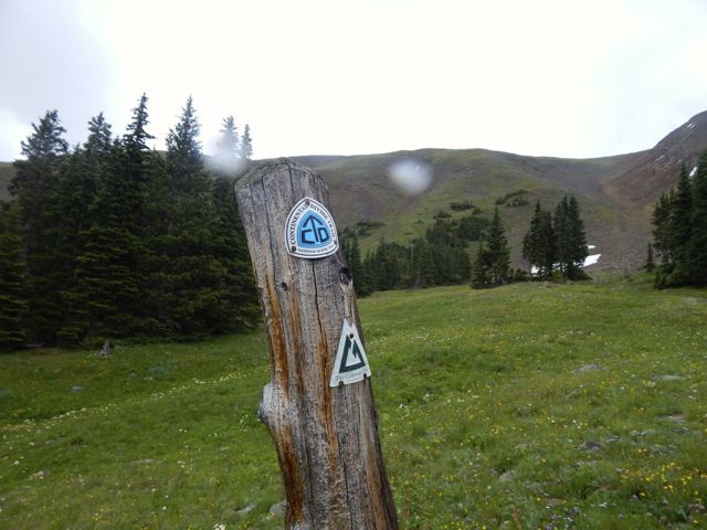
Twin Lakes to Clear Creek
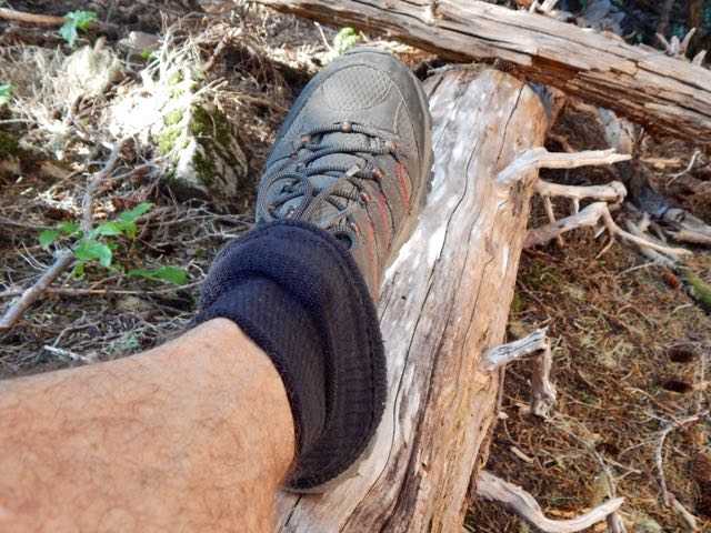
Absurdly unprepared. But a superb day anyway. 🙂
I had trouble deciding where to hike in Colorado. There are simply too many great options.
The new Collegiate Loop sounded like an excellent and challenging possibility:
… In 2012 the Colorado Trail added an 80 mile stretch of trail that serves as an alternate route around the Collegiate Peaks. The new route, called the Collegiate West, follows the continental divide at much higher elevations. The Collegiate West is above tree line much of the time, which makes for rugged hiking and incredible views. …
The Collegiate East is part of the traditional Colorado Trail that stretches 500 miles from Denver to Durango. The 160-mile Collegiate Peaks backpacking loop is formed by hiking both the Eastern and Western routes of this section.
Clever Hiker
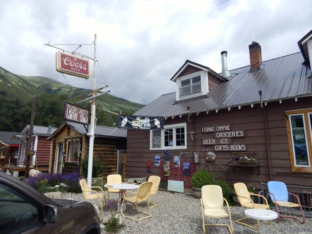
 We dropped my friend Betsy at a mountain running race near Aspen. Husband Brion drove me on to Twin Lakes, recommended as one of the best places to start the Collegiate Loop. I was hoping to get information at the General Store.
 They sold me a new map covering the entire Collegiate Loop, but the shop-keep had not heard of the new dedicated guidebook.
Historically they’ve considered Collegiate West the Continental Divide Trail, Collegiate East the Colorado Trail. It’s going to take some years before locals start considering the western side part of the Colorado Trail.
I was excited to get this adventure started. Ready or not.
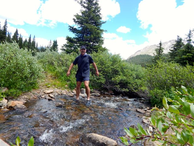
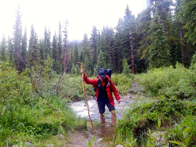
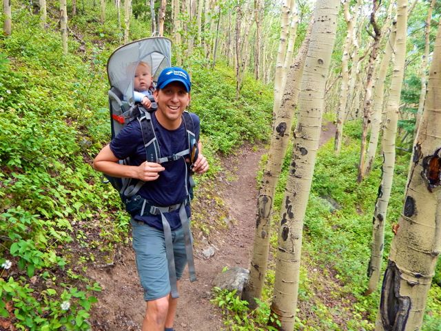
 Brion and Julius started up the trail with me around 11am. Thanks for the send off.
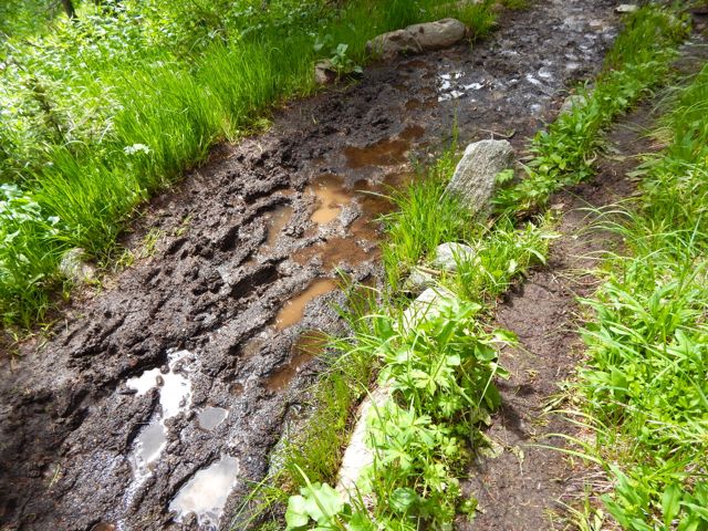
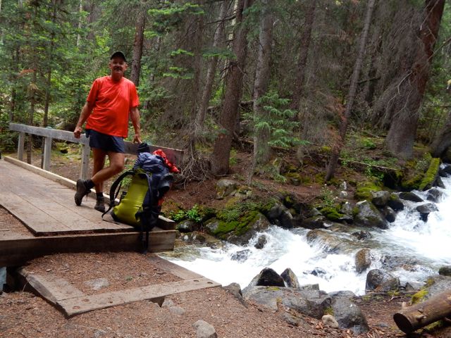
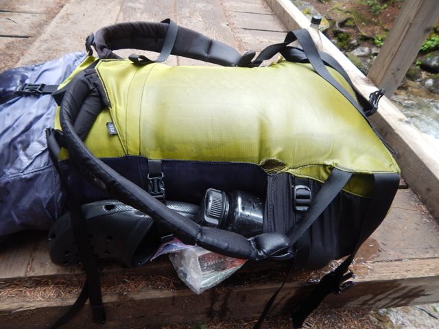
 Just after posing for this shot, I knocked my pack into that creek. 😦

 Happily almost everything inside is kept in waterproof bags.
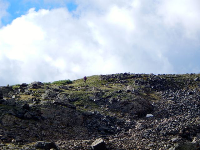
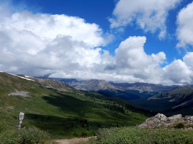
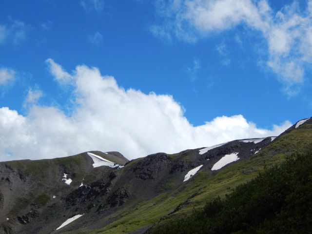
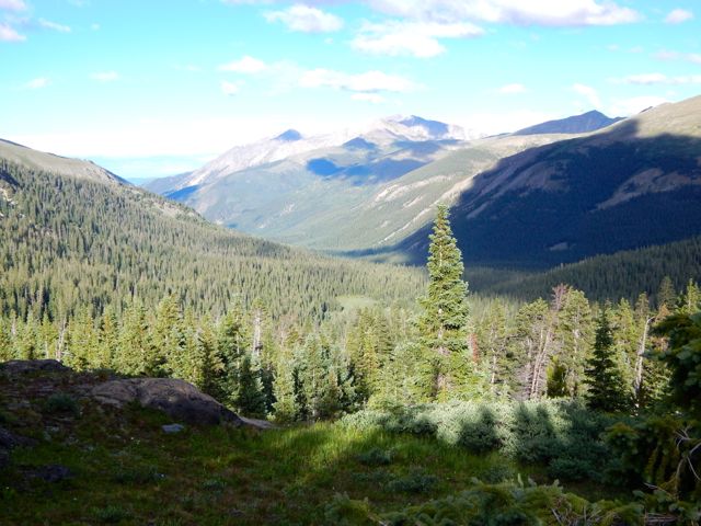
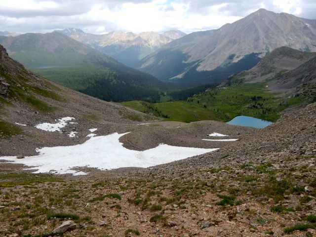
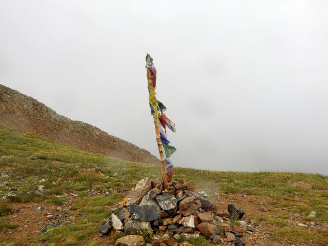
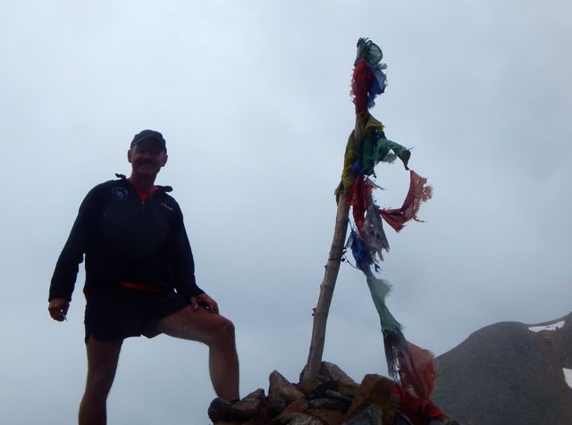
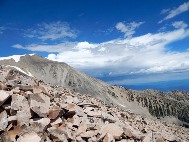
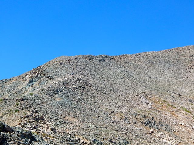
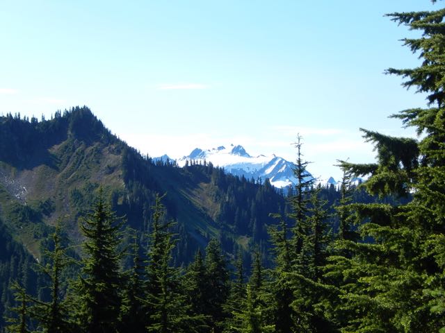
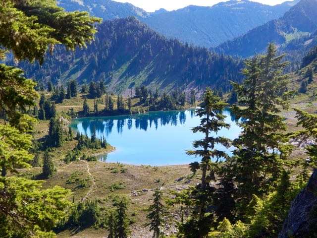
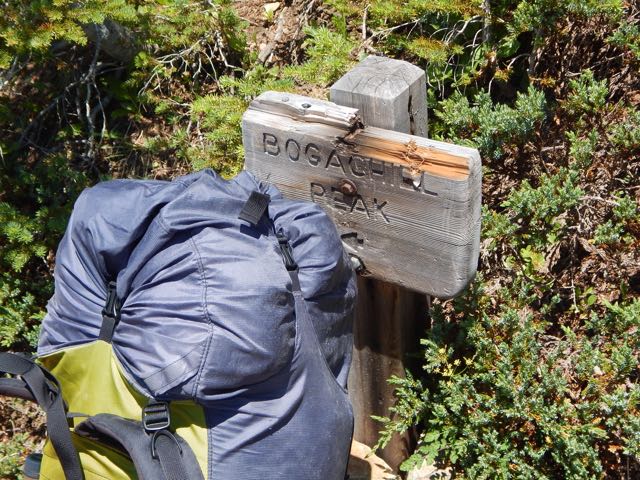
 It’s a steep climb to reach the treeline en route to Hope Pass, the highest point on the Collegiate Loop 12,500ft (3810m).
I didn’t suffer much from altitude despite having only one acclimatization hike since flying in from sea level. Smarter hikers than myself would have finished crossing Hope Pass rather than starting here.
On the downside, it was raining.
 I took shelter under those far trees with an older couple from California who were section hiking, year by year, Canada to Mexico on the Continental Divide Trail. Like me, this was their first day. They’d also started at Twin Lakes. The twosome and their dog planned to hike to the New Mexico border this summer.
 I was embarrassed to admit to them I didn’t know whether I was hiking north or south. That’s how unprepared I was. I hadn’t yet opened my new map.
They’d hiked Collegiate East the previous summer and told me it was much less spectacular. Right then and there I decided NOT to do the entire 160 miles, but rather just the most spectacular half.
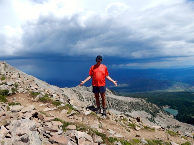
 When the rain let up a little, I tried to get up and over Hope Pass as quickly as possible. Lightning is a real danger in the Colorado Rockies. The couple told me to go ahead and that they’d plod along behind. (The tortoise and the hare, I thought.)
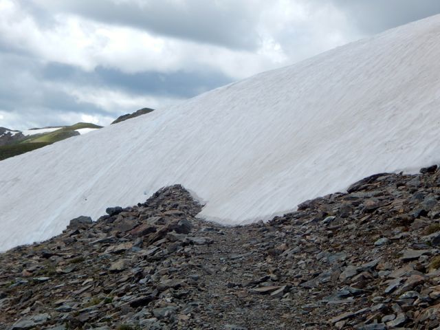
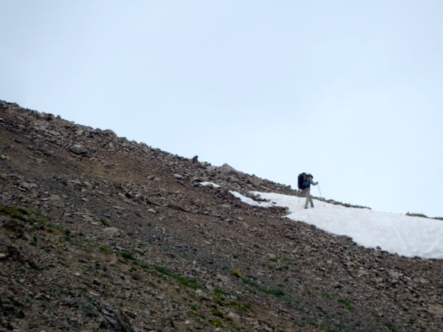
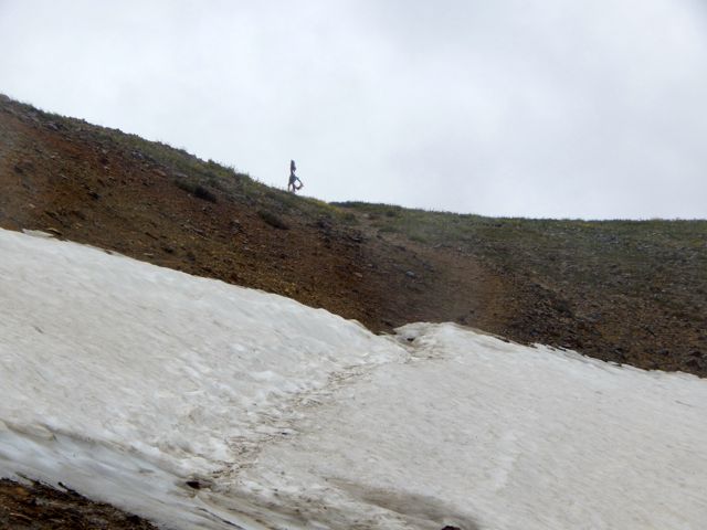
 End of July 2015 the remaining snow was not a problem. Earlier some seasons it would be a good idea to bring an ice axe.

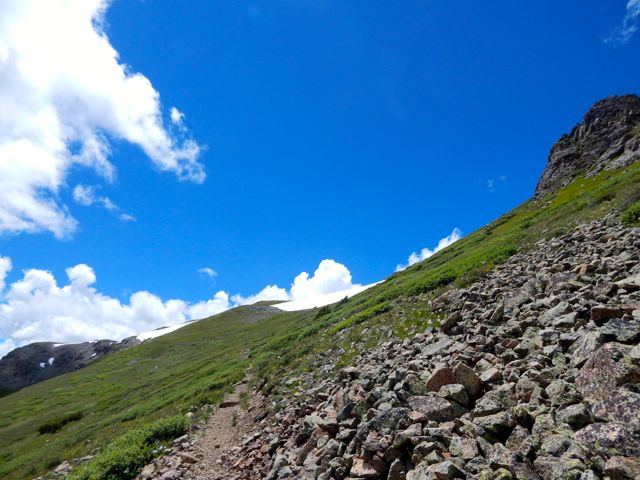
 A couple of trail runners paused to chat. They were changing gears from uphill to downhill. This spot is where some of the Leadville Trail 100 mile racers come to grief. It’s 3,400ft of vertical on the front side, descending about 2,600ft.

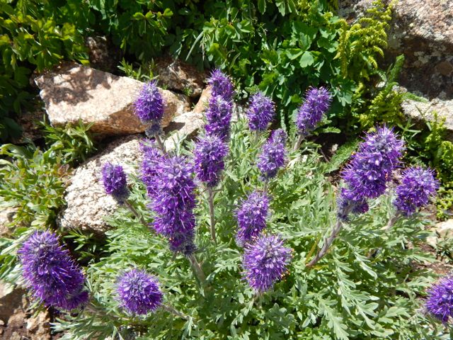
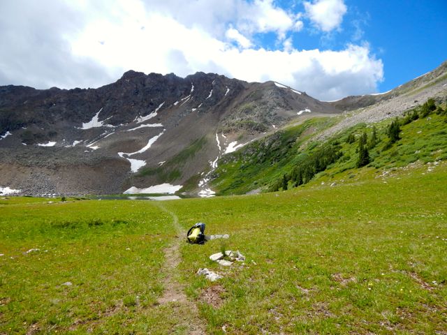
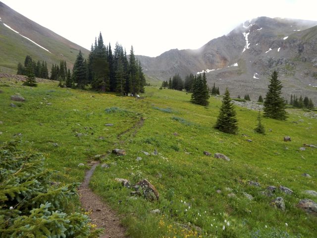
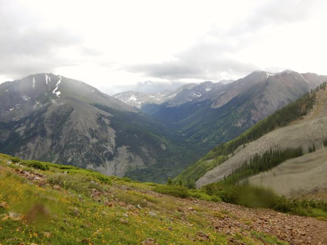
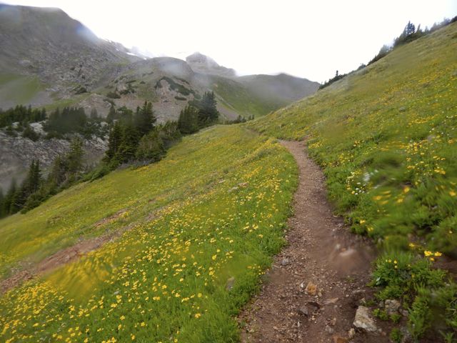
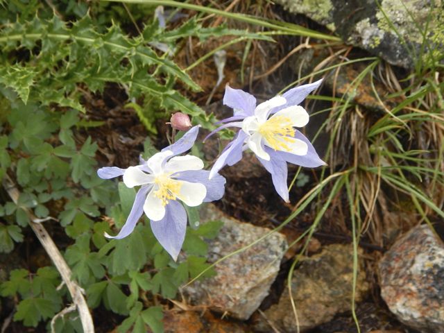
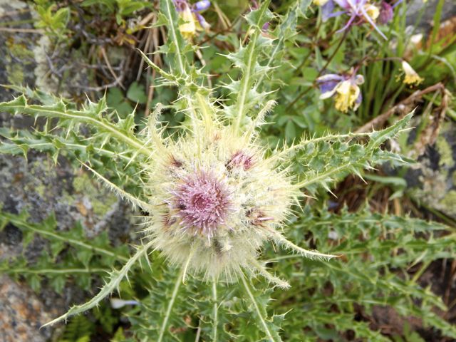
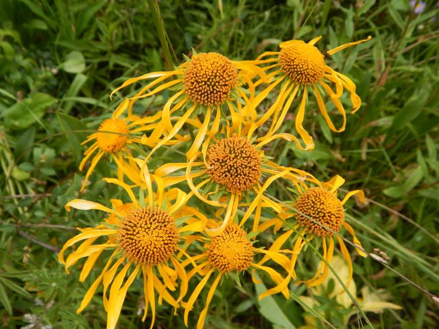
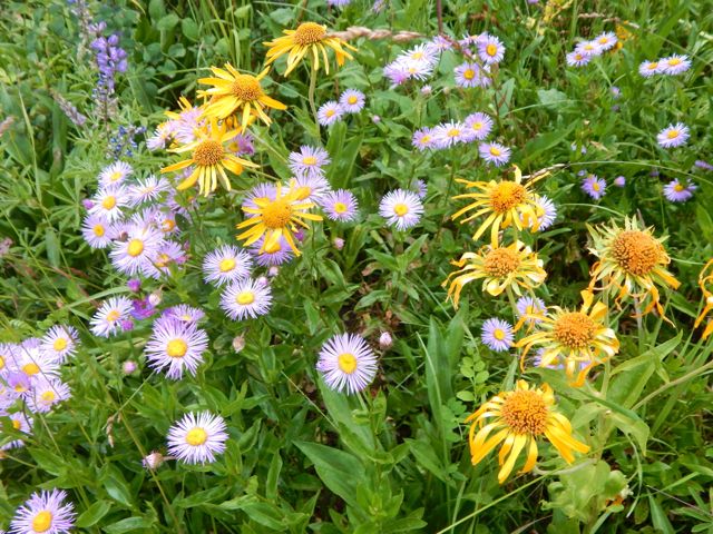
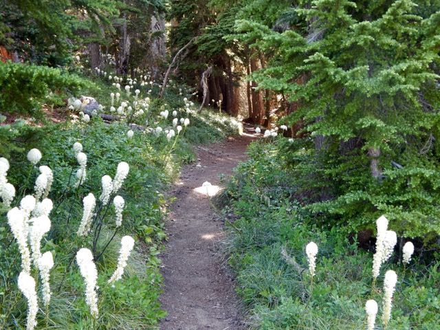
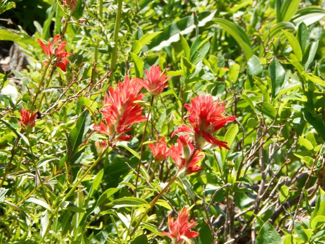
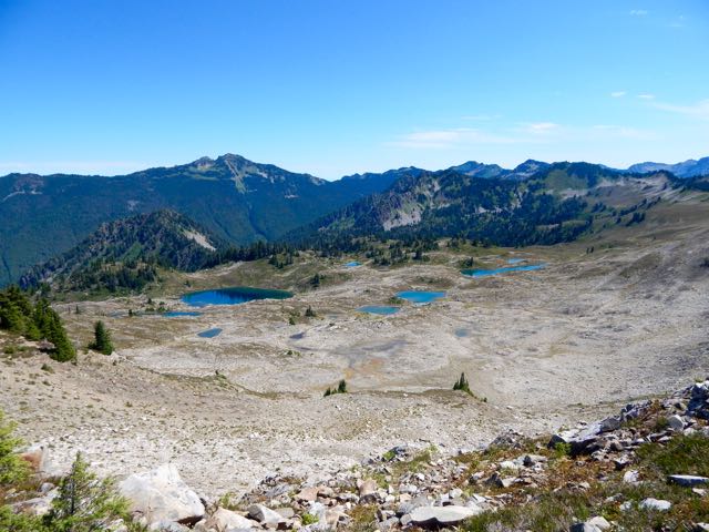
 The southern side of the Pass was equally scenic. Plenty of wild flowers. It had been a very wet Spring and Summer here.

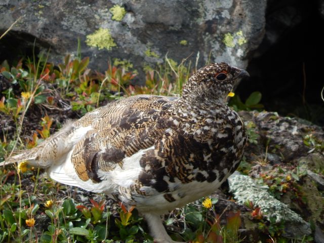
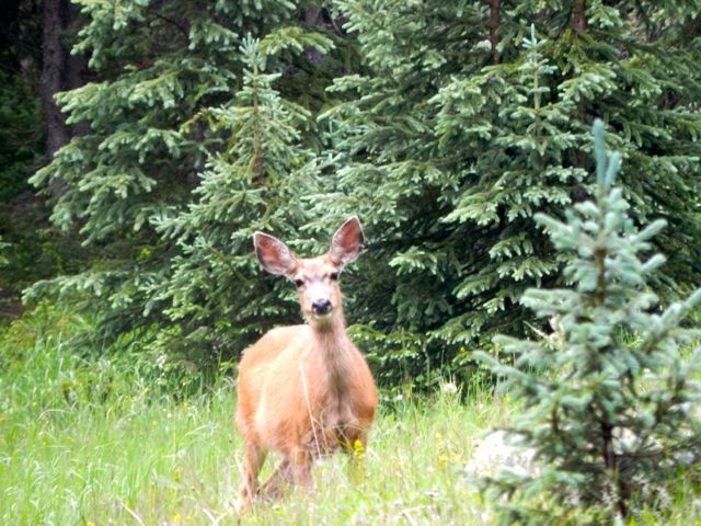
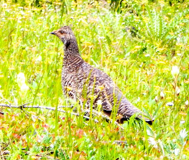
 I saw all kinds of wildlife: a ptarmigan family, chipmunks, pica, marmot, weasel. The oddest was a group of snakes sunning on trailside rocks. I was so surprised I didn’t manage to get a good photo.
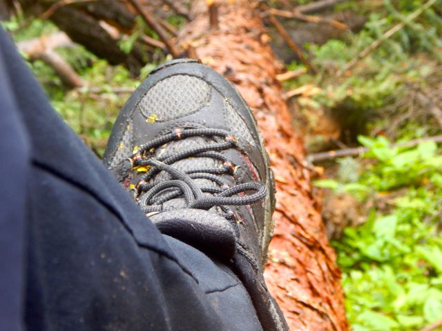
 At another stop I carefully set down the pack. Then watched it roll downhill finally coming to rest in the bushes.
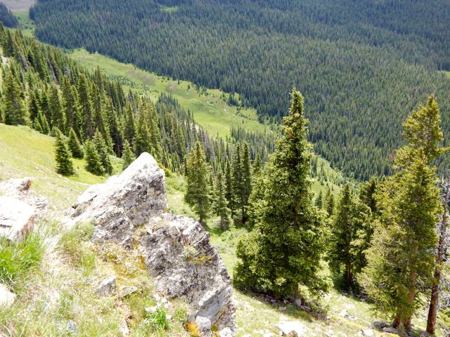
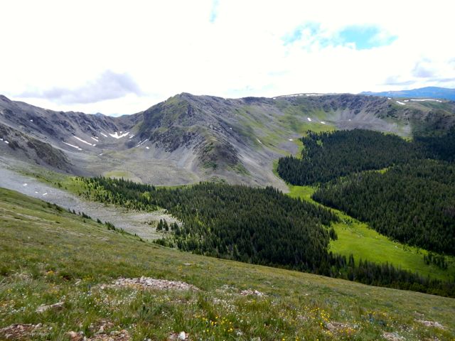
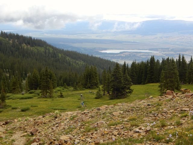
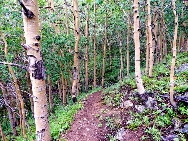
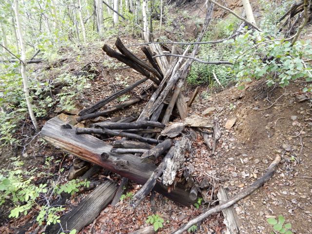
 Quite quickly, dropping down to the valley, vegetation changes.
  You pass a number of old mine shafts.
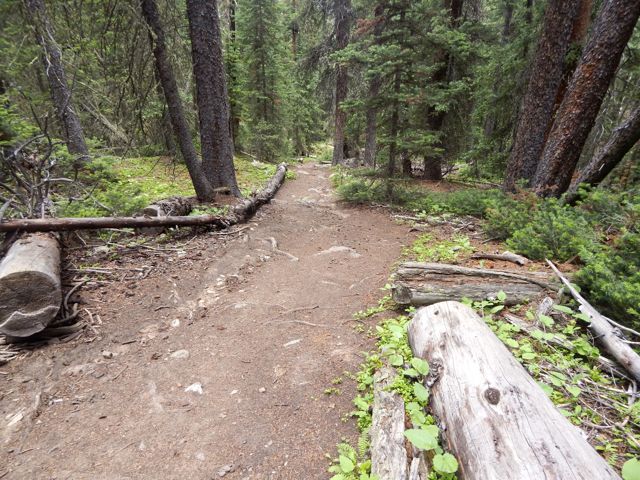
  The final few miles to Clear Creek near Winfield were exhausting though the trail was comparatively flat. I’d been running on enthusiastic adrenaline. It finally ran out.
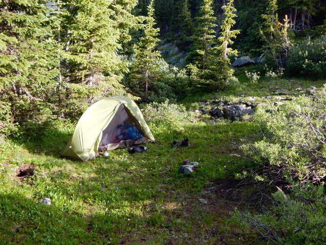
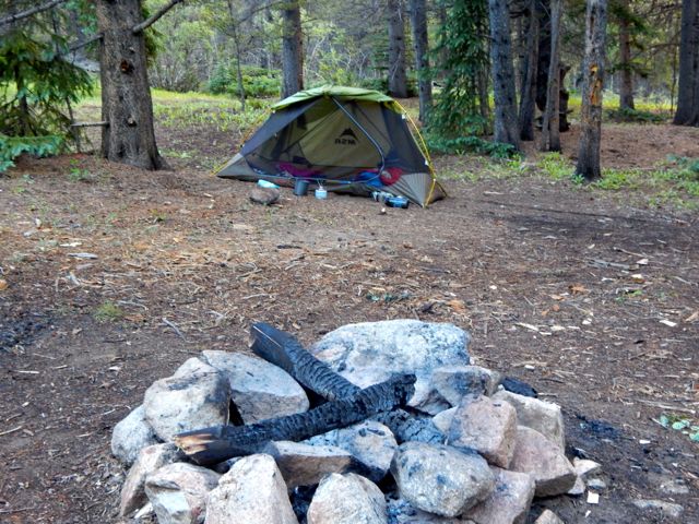
About 6pm I grabbed the first campsite I saw.
 Good night.
more full resolution photos
day 1 | day 2 | day 3 | day 4 | day 5 | day 6 | info page

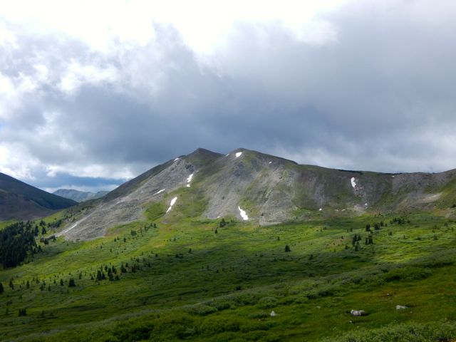
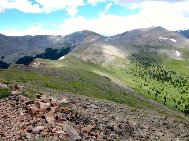
 UP – as usual – to the next pass.
 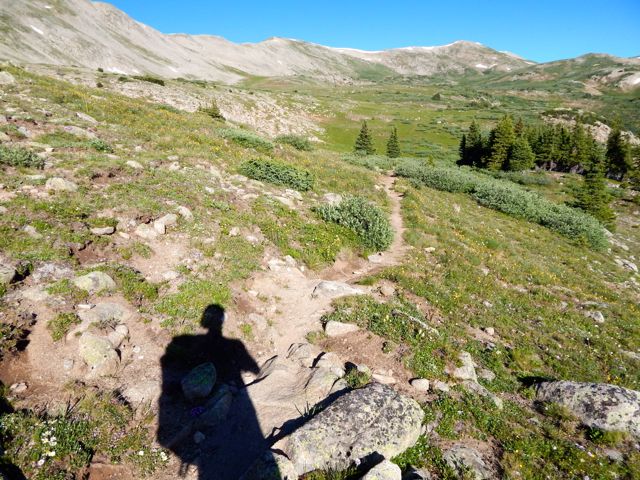 It looked imposing.
  On the other side are some buildings in Hancock.
  It was a relief, actually, to make better time walking an old rail line.
  Everyone loves the under regulation of hiking in Colorado. There are very few restrictive rules. One thing asked is that hikers register in log books as they pass by. Unfortunately each I passed was full. There were no pages left. Seems the system is broken. 😦
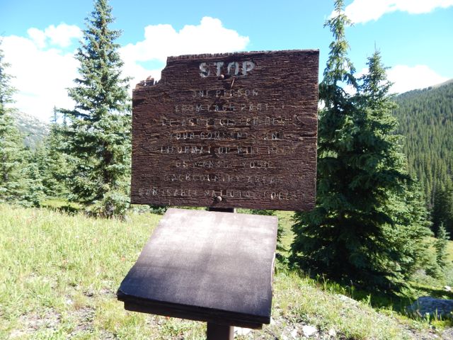 In 2015 we still walked roads along the Arkansas River head waters en route to Hancock Lake. But volunteers were there in force building the trail which will soon run parallel to the roads. I was impressed with their enthusiasm.
  Roads – and historical artifacts – exist in unusual places due to mining.
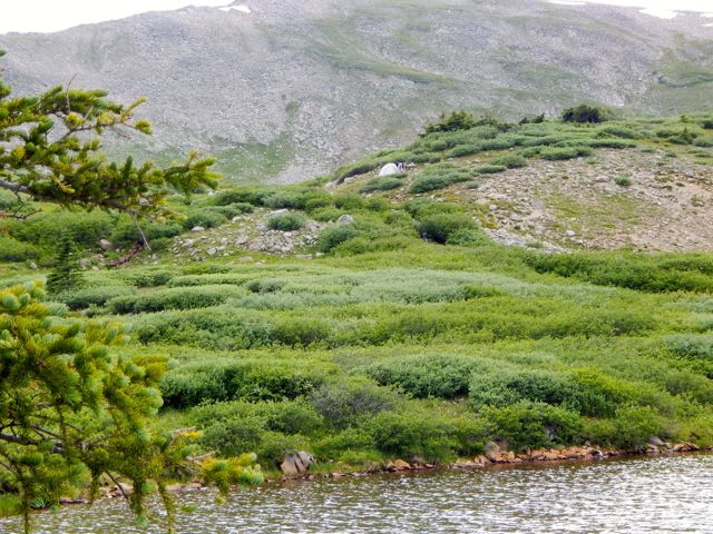
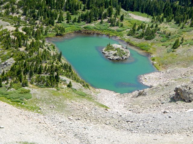
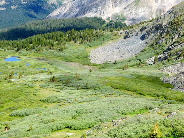
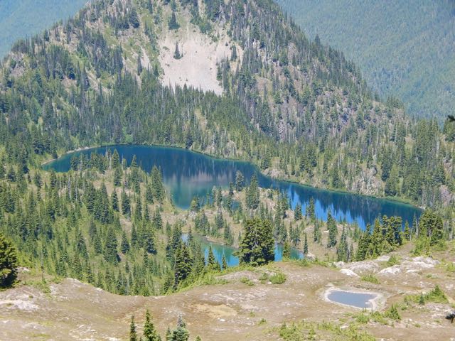
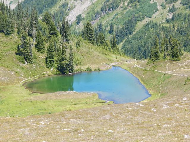
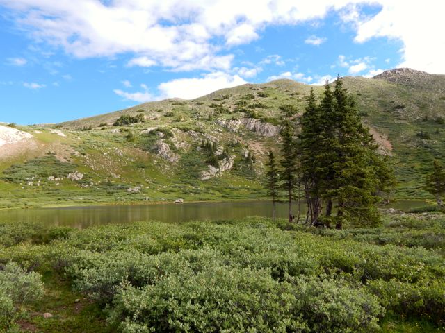
 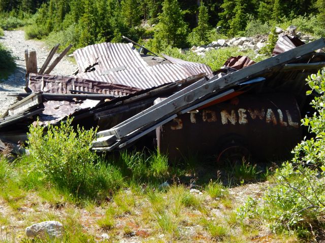 I was happy to reach this lovely spot.
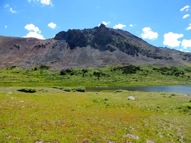
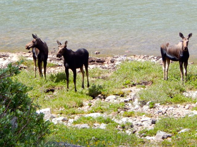
 I didn’t see the elk. But there were three moose at Upper Hancock.
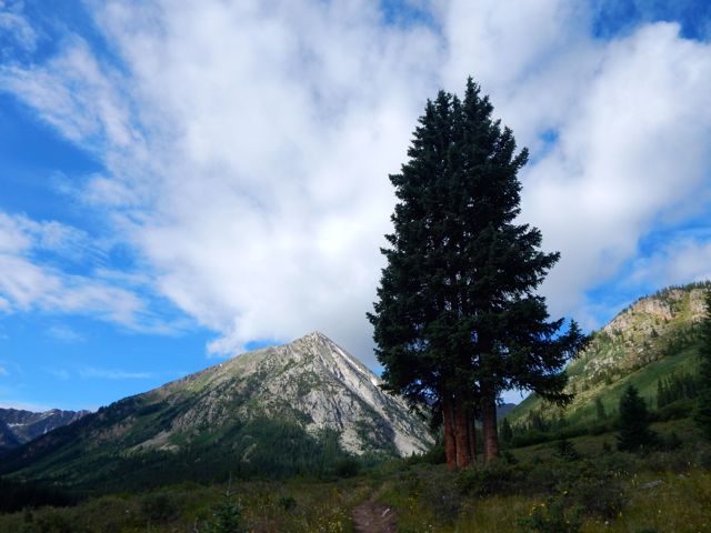
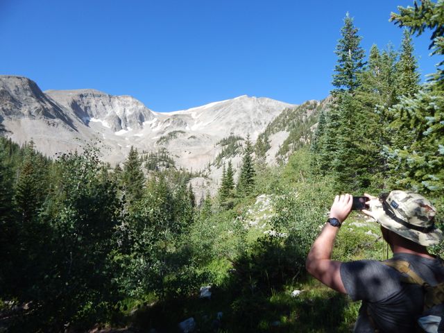
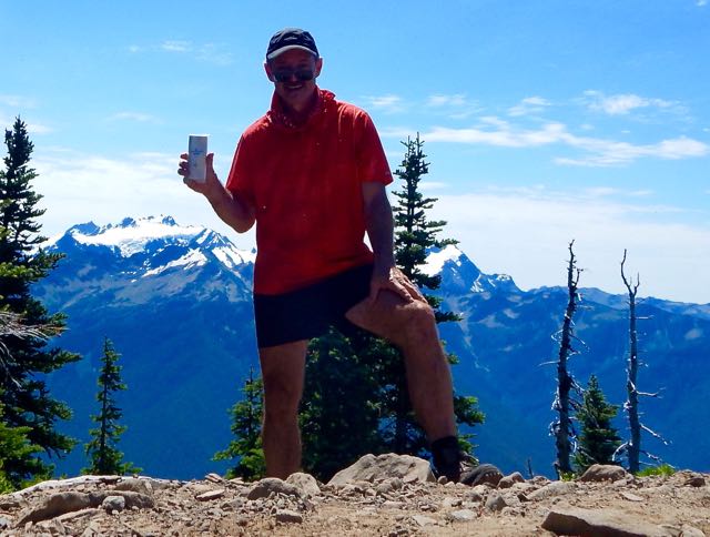
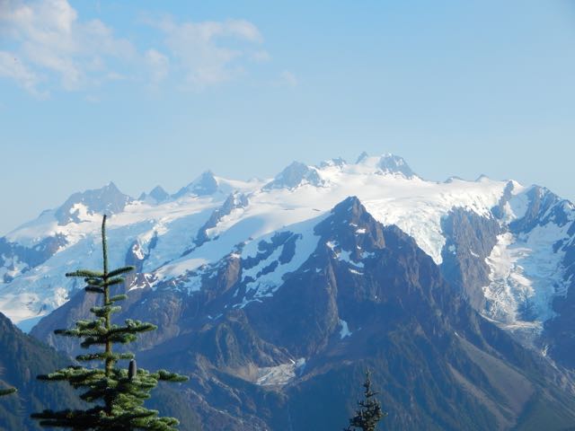
 Chalk Creek Pass was glorious. It’s a joy to get good weather up so high.
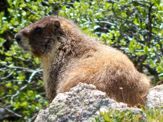
 In the heat, marmots got lazy.
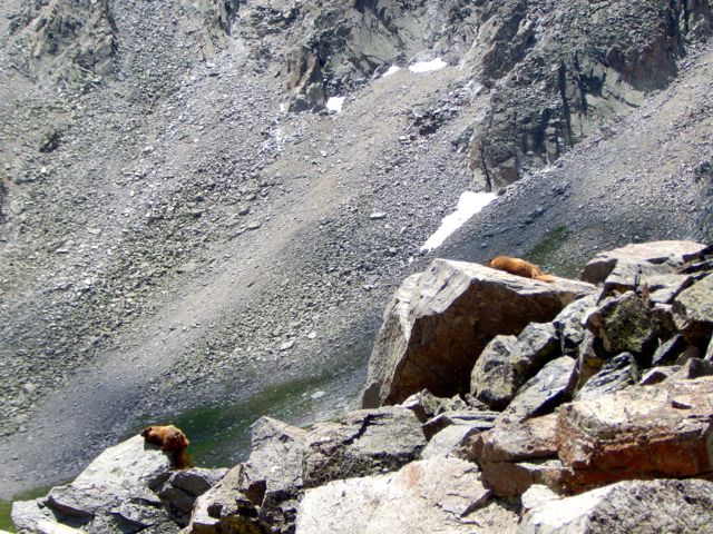
 I happened upon the empty Trail Crew camp. It inspired me to volunteer myself, one day. 🙂
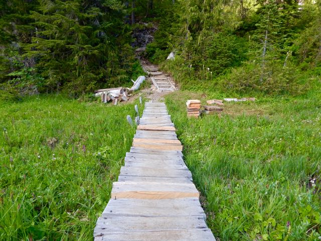
 Over the bridge. Up to Boss Lake.
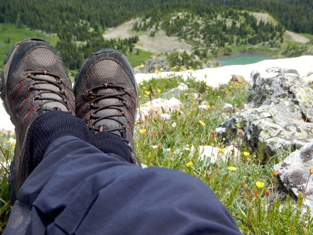
 I was keen. The weather was great. But an Austrian couple 3 weeks on the CDT convinced me I didn’t have time to make the final 9 miles so I set up at Hunt Lake.
  It turned out to be the prettiest campsite of my week.
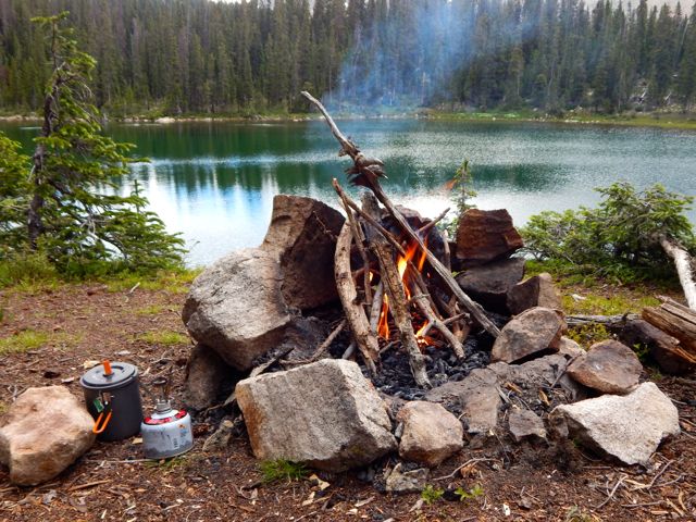


 more full resolution photos