DAY 2 Sierra Nevada Traverse

trip report by site editor Rick McCharles

day 1 | day 2| day 3 | day 4

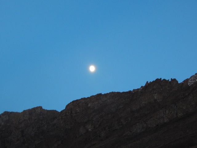
Happily the sun appeared around 8:30am. It had been very windy all night. (I’d not slept much.)

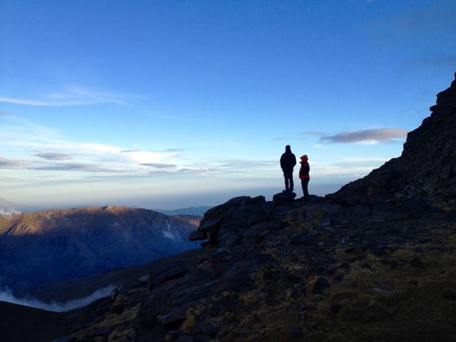
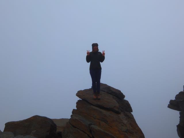
It was still windy. As you can see.

IMG_3850

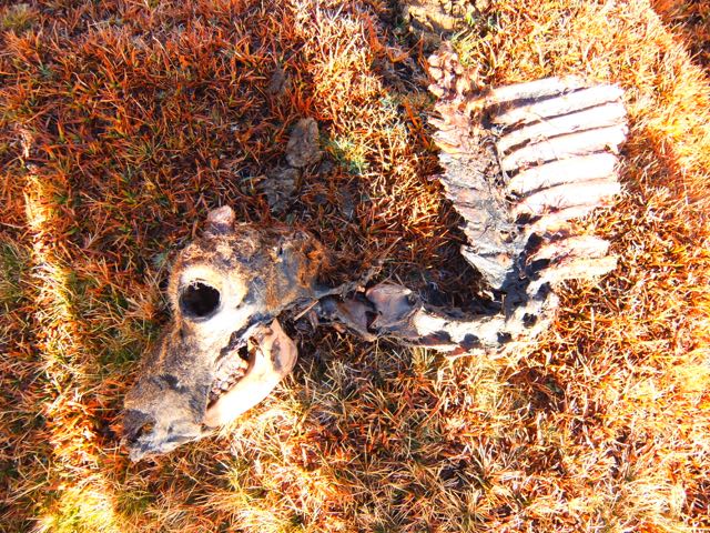
This guy didn’t make it.

DSCF3468

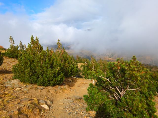
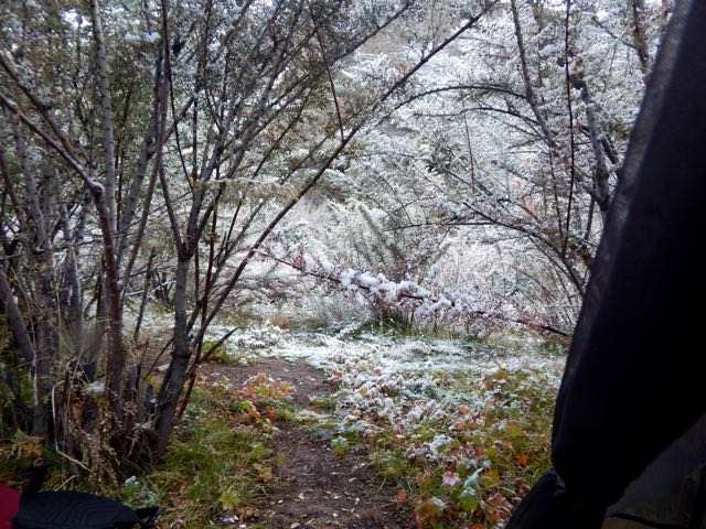
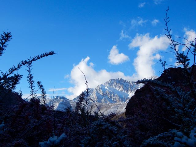
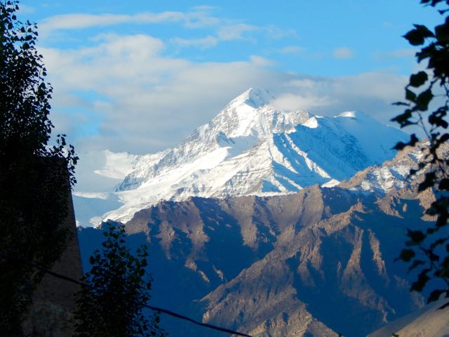
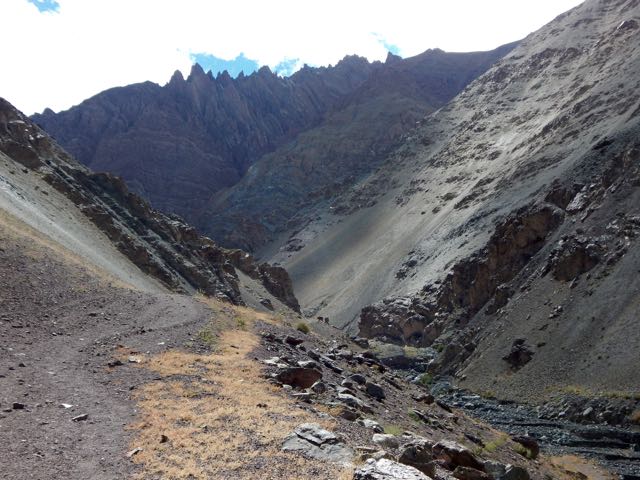
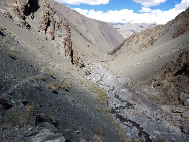
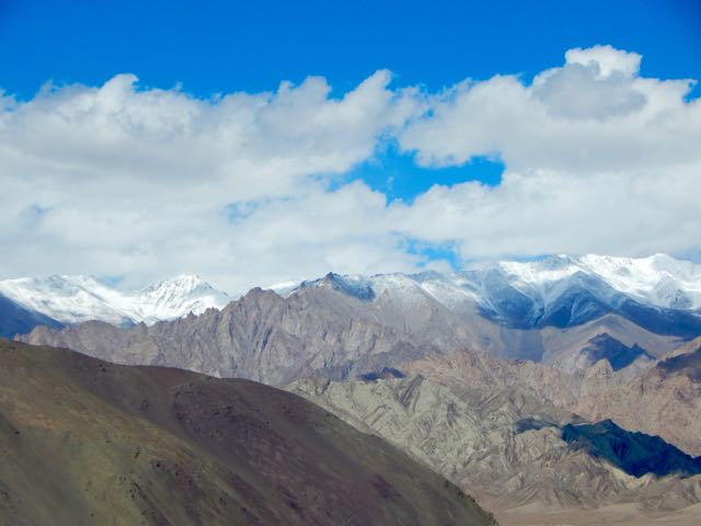
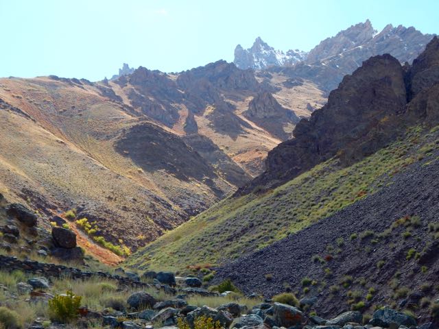
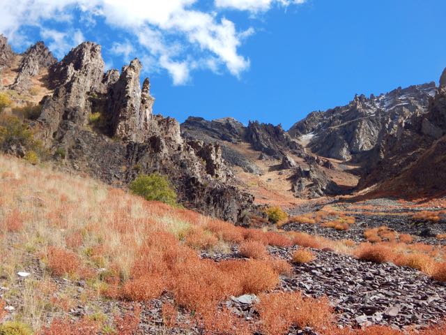
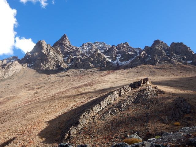
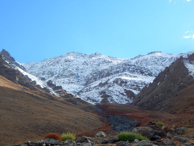
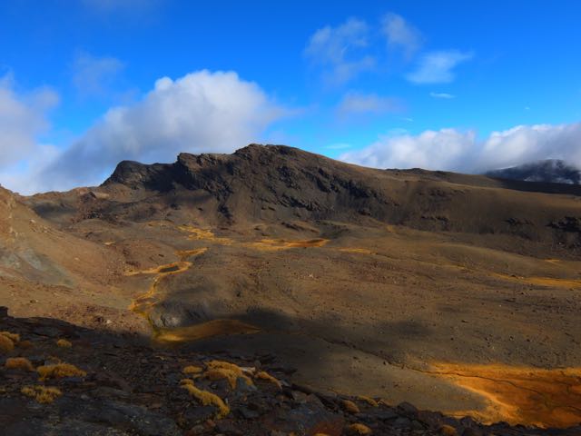
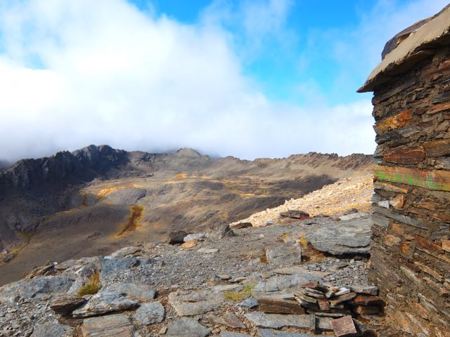
The scenery up here is otherworldly. Reminded me of New Zealand and Iceland.

DSCF3469

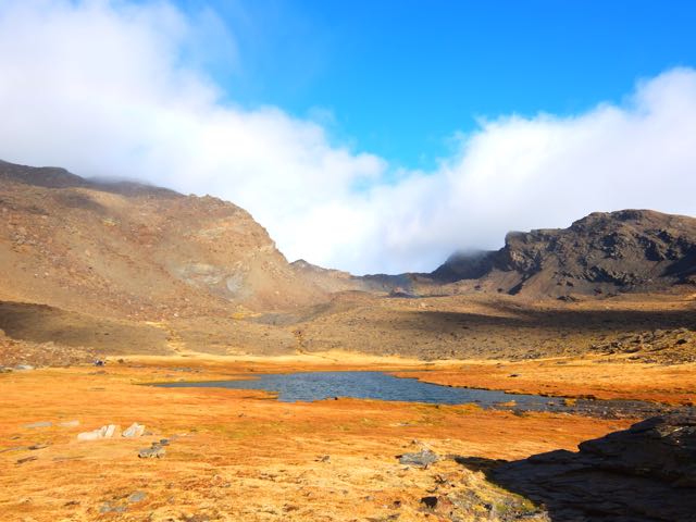
Most of these photos were taken by Josh. I was impressed he managed to catch the rainbow. 🙂

DSCF3473

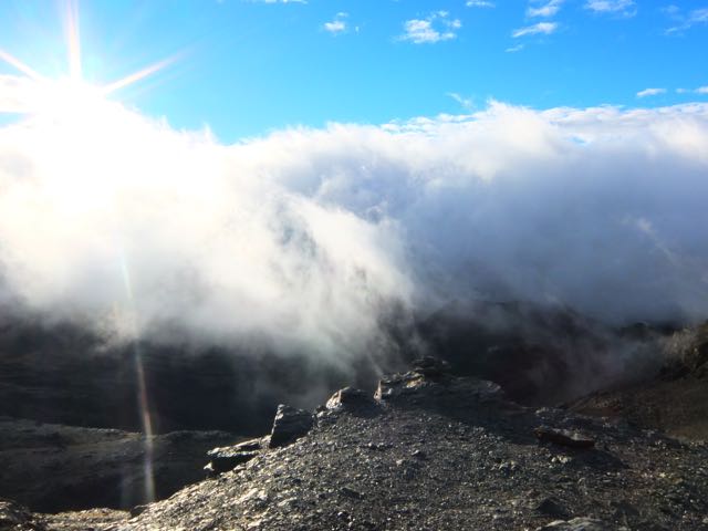
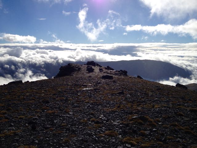
Once up on the cliff edge summit ridge, the wind was even more severe.

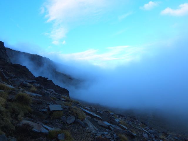
But it was fun to be well above some of the clouds.

DSCF3477

DSCF3480

IMG_3856

From up here we could see some of the other 7 lakes (tarns).

DSCF3513

DSCF3483

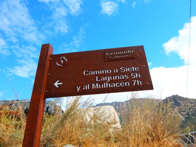
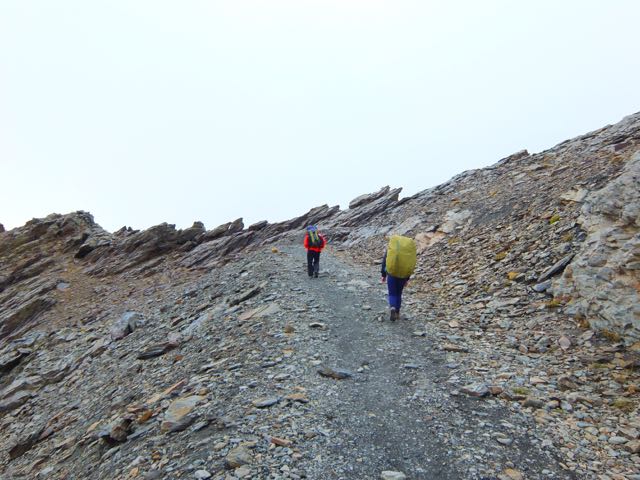
We managed to somehow lose this very well traveled pathway, sticking close to the cliff instead.

IMG_3859

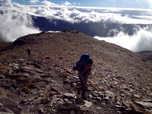
Josh had to keep moving just to stay warm. He and I pushed ahead over several false summits. To the top of Mulhacén.
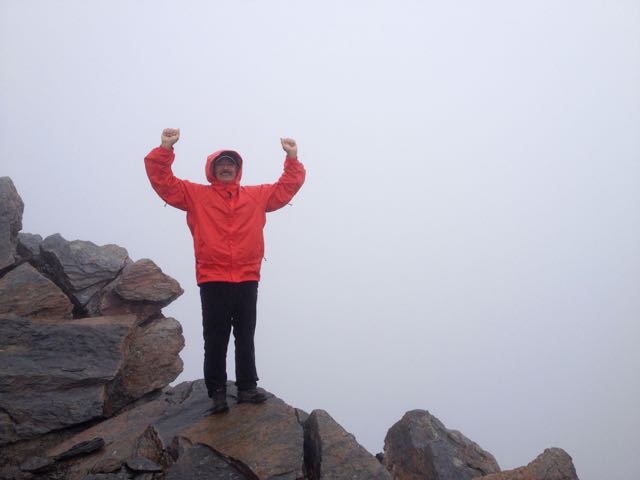
We made it!

IMG_3866

IMG_3861

Josh huddled in the rocks at the top to warm-up while I rushed back to help Alisha. On the descent (somehow) I missed her coming up. So I rushed back up to the summit, missing her again. She’d been there already and seen Josh.

DSCF3492

Unfortunately she’d left her backpack close to the cliff edge. And wasn’t sure exactly where.

The three of us – once finally reunited – went searching for it together. We asked one Spanish climber if he’d seen it. He had! And it was finally recovered.

In the end I summited Mulhacén 5 times that day!

Josh really needed to get down to some place warmer. Here’s the scramble down from Mulhacén on the Traverse route.

DSCF3495

IMG_3872

We had lunch at this crowded “Refuge”. Not all that warmer than the summit, to tell you the truth.

IMG_3871

The route would stay above 3000m for the rest of the day, mostly along the Sierra Nevada Road. (Looks great for mountain biking.)

DSCF3501

DSCF3511

Lonely Planet recommended we sleep at the Cariguella Refuge atop the Sierra Nevada Ski Resort.

DSCF3502

We had an hour of daylight left and thought we might make the next Refuge instead, shortening our day 3 back to civilization. That same Spanish walker who found our backpack happened past. He seemed to know where he was going. So we followed.

Big mistake. We ended up off route. Lost. Facing steep cliffs. Eventually we were forced to backtrack to Cariguella.

It was cold. But clean. We shared common bunks with about 6 other hikers who were planning to climb the 3rd highest peak next day.

Unfortunately a loud, obnoxious group arrived after 10pm. Absolutely no consideration for those trying to sleep. They left very early next morning, all their trash on the table. 😦

I dislike European Refuge huts. This was only the second time ever I’d tried to sleep in one.

Remind me never to sleep in one again.

DSCF3516

day 1 | day 2| day 3 | day 4

DAY 1 Sierra Nevada Traverse

trip report by site editor Rick McCharles

day 1 | day 2| day 3 | day 4

I wasn’t surprised to see Josh and Alisha climb on to the morning bus from Granada to Trevélez. We’d met at Oasis hostel in Granada and discussed the possibility of starting together.

DSCF3427

From this trailhead above Trevélez village many do the climb to Mulhacén and back in 10 hours. Having camping gear, we were in no such rush. I planned on 3 days, 2 nights.

map

Mulhacén is the highest peak in Europe outside the Caucasus Mountains and the Alps. It is also the third most topographically prominentpeak in Western Europe, after Mont Blanc and Mount Etna, and is ranked 64th in the world by prominence. …

The scenery was dry, autumn. We were actually happy it was overcast. Heat emergency is just as real a risk on this walk as cold emergency. There’s no shade.

DSCF3430

The elevation gain to our planned campground was about 1000m, a relentless climb. Alisha was already worried about her pack weight.

IMG_3840

Josh was traveling very light. In fact, he had NO JACKET.

DSCF3432

I was feeling terrific. Happy to be here. I ASSumed any mountains in southern Spain had to be much easier than those I’d just left in the Indian Himalaya. 🙂

DSCF3435

How bad could it get? We could see the tourists beaches.

Mulhacen map

Every once in a while sunlight peaked through.

DSCF3440

There was no water between Trevélez and this waterfall close to the top.

DSCF3447

My Lonely Planet guidebook was quite wrong on this urgent subject:

Plenty of water from springs, streams and tarns.” (p 279)

Water IS a constant concern on the Traverse late in the season.

We made it at dusk. The “Seven Lakes”.

Gorgeous.

DSCF3450

IMG_3842

DSCF3458

DSCF3466

Cold. Crowded. Windy. Josh was forced into his tent. Alisha and I stayed out in the wind cooking tea and food.

I was worried about the weather next morning. The forecast was not good. It could snow. 😦

day 1 | day 2day 3 | day 4

Greater Patagonian Trail

UPDATE from Jan Dudeck:

During the last Patagonian summer I continued the investigation and publication of the Greater Patagonian Trail. The trail has now a total length of 1400 to 1500 km – depending on the options chosen – and the trail description contains may updates. I.e. section 17 and 18 were added this year and KMZ and GPX files with plenty of waypoints and several alternative routes are published for all sections.

Also the first hikers have completed the trail or parts of if base on this publication. One Israeli hiker walked sections 1 to 16 in about 50 days (all that was published at this time) and at least 8 more hikers did substantial parts of the Greater Patagonian Trail based on this trail description. …

This trail is not finished yet. There is plenty of terrain left till this trail finally reaches the southern tip of Patagonia and ends either on the shores of the Magellan street or even on Tierra del Fuego. But what is published so far can be hiked by a well experienced self-reliant hiker without much seek and search.

I also look forward that other hikers contribute to this trail by verifying some of the options and adding more sections. The publication on “wikiexplora” permits and facilitates such contributions because “wikiexplora” allows like “wikipedia” a collaboration of multiple authors.

Email: jan.dudeck (a) gmx.ch

Website: http://www.wikiexplora.com/index.php/Greater_Patagonian_Trail

___ original post from Sept 8, 2014:

… in South America leads right through the heart of the legendary Patagonian Andes. It’s a stunningly beautiful and diverse trail that crosses volcanic fields, idyllic Andean valleys, snow covered mountain ranges, lush green forests and deep blue lakes and rivers. …

The complete trail can be hiked in one summer season and requires approx. 90 to 120 days

The generally recommended trekking direction is southbound …

MAP Greater Patagonia

The Greater Patagonian trail is not an official trail that is set up and managed by a government agency. Is simply a compilation of horse trails, minor roads and some cross country sections …

The trail is mostly unmarked, partly not visible and only smaller fractions are documented with maps. Therefore a GPS is essential for navigation. In addition an electronic topographical map is recommended. …

section 1
section 1
section 2
section 2

section 6

River Crossings are possibly the greatest hazard

wikiexplora – Greater Patagonian Trail

I’m considering a trip to Patagonia starting January 2016. Certainly I’ll do a section of the GPT, if I can. 🙂

walking to the Banff Film Festival

Kraig Becker:

A few years back, British adventurers Leon McCarron and Alastair Humphreys make an epic journey on foot through the Empty Quarter on the Arabian Peninsula. They made a film about their adventure that was later accepted into the Banff Film Festival. The boys were so excited about this turn of events, that they decided to fly to Canada to attend the premiere of their documentary. But in true adventurous style, they didn’t just want to hop a bus from the airport to Banff, but instead decided to travel their on foot. This short film takes us along with them on that journey …

Video: West on Deerfoot with Leon McCarron and Alastair Humphreys

Click PLAY or watch it on Vimeo.

 
Love it. … But living in Calgary, I have to tell you that the Deerfoot Trail runs north/south. The lads did not walk west on that section. 🙂

Nepal open for trekking

Sorrow for the earthquake victims is one reason I went to Ladakh in 2015 rather than Nepal.

Singla village

But Nepal is open for business.

In August, the US and UK lifted their country-wide travel advisories against travel to Nepal, meaning that travellers and companies can once again get travel insurance for upcoming trips. Most western travel companies plan to run trekking trips as normal for the 2015/16 winter and spring seasons and some companies are even offering special reconstruction treks …

In many ways now is a great time for tourists to visit Nepal. The infrastructure that travellers need is in place, but tourism is down by over 50%, which means fewer crowds on the popular trekking routes and discounts for hotels and airfares. More importantly, the money you spend when hiring a guide or porter, staying in a lodge or hotel, or eating in a restaurant will directly help local people. Given that 500,000 Nepalis work directly in tourism, the country needs travellers more than ever to rebuild its economy and bounce back stronger for the future.

Is it time to go back to Nepal?

Langtang is completely closed, however. Helambu badly affected.

Everest – film review

Finally saw the $55 million Hollywood blockbuster – which has grossed $137.4 million, so far.

Everest has received generally positive reviews from critics. On Rotten Tomatoes, the film holds a rating of 72%, based on 178 reviews, with an average rating of 6.7/10. …

Click PLAY or watch the trailer on YouTube.

Jon Krakauer, author of Into Thin Air, denounced the movie, stating some of its details were fabricated and defamatory. …

The widow of Scott Fischer is not happy, either.

Kraig Becker:

Hollywood has a along history of making mostly bad movies about climbing and mountaineering. …

… few films can hold a candle to Touching the Void for instance. But now, the big blockbuster production Everest is set to get a wide release in theaters this week, and if you’re looking for well made, at times harrowing, film about high altitude climbing, you certainly could do a lot worse. …

The film is based on the actual events that took place back in 1996, when one of the biggest disasters in mountaineering history took place. The story is a well known one in mountaineering circles of course, with Jon Krakauer’s Into Thin Air most famously telling the tale. …

… This is a film that is beautifully made, and seeing sweeping shots of Everest, and the Khumbu Valley that leads up to it, was breathtaking. …

Probably my favorite aspect of the film was Jason Clarke’s portrayal of Rob Hall. He did a great job of selling the character, and was the centerpiece of the entire movie. …

Adventure Blog – Movie Review: Everest Gets It Right – Mostly

I don’t expect Hollywood films to get EVERYTHING right. Anatoli Boukreev – for example – could barely speak English, I understood. Until this film.

I liked it even better than Kraig. (And much better than Krakauer). 🙂

I must have cried for 30 minutes or more.

Alchi Circuit, Ladakh – day 3

trip report by besthike editor Rick McCharles

day 0 | day 1 | day 2 | day 3 | not recommended

About midnight I felt droplets of rain on my face. For the first time in Ladakh I got up and put the fly on the tent.

Opening the fly next morning I was surprised to see a winter wonderland.

DSCN3691

Yet more new snow dusted the mountains.

DSCN3692

DSCN3696

DSCN3698

I’d tented out of sight in these trees.

DSCN3693

Dropping further down the valley I finally saw some people. An elderly couple bringing up their goats to graze.

DSCN3701

water pipe insulation

It’s a nice valley, for sure. Some of the buildings impressive.

DSCN3705

autumn colours
autumn colours

DSCN3710

My face somewhat burned from reflected snow the previous day, the shade of the creek foliage was appreciated.

DSCN3713

DSCN3714

I saw some unusual Buddhist flags and scarfs en route. Like wash day at the monastery.

DSCN3712

DSCN3716

This is some significant Buddhist site. Unusual rock formations.

DSCN3717

DSCN3718

I know because a foreign tourist arrived by car to take photos. Here. On this excellent black top roadway.

DSCN3720

DSCN3719

A road? What?! 😦

There are no people in this valley. Yet the Indian government built a road up this valley?

I’d planned two more nights on the Alchi circuit. But right here I decided my trek was over. I don’t hike roads.

Then – despite my protestations – I proceeded to hike the road all the way down to Sumdha Do.

DSCN3721

DSCN3724

DSCN3732

Mountain people want roads and electricity. Both degrade the hiking experience.

AND it’s nearly impossible to maintain these roads. Washouts, rock slides and collapse are non-stop.

DSCN3733

At Sumdha Do I had trouble finding out how to escape. Indians feel it’s polite to give strangers an answer, even if it’s incorrect. Finally I collected 3 independent answers that concurred.

This was the road heading in the direction of Leh.

DSCN3738

It was 21km to Nimmu village on the main highway.

DSCN3743

Would I have to walk it?

NOPE. 🙂

The second vehicle to pass picked me up. An Indian Army jeep.

DSCN3744

They dropped me – after a rough ride – at the highway crossroads. The second vehicle to pass picked me up. Turned out it was a jammed, shared taxi. For $2 it delivered me back to Leh by 1pm.

DSCN3745

After a hot shower I was just in time for the closing ceremonies of the annual Ladakh festival. Speeches. Ethnic music and dancing.

DSCN3758

I didn’t last long. I headed, instead, to the excellent Leh Ling Cafe & Bookstore for Chai.

DSCN3519

DSCN3516

See all the high resolution photos from this day.

day 0 | day 1 | day 2 | day 3 | not recommended

Alchi Circuit, Ladakh – day 1

trip report by besthike editor Rick McCharles

day 0 | day 1 | day 2 | day 3 | not recommended

After 2 days rain delay, the morning dawned lovely in Leh.

DSCN3529

DSCN3532

First stop was the outdoor bakery near the main Mosque.

DSCN3533

DSCN3535

I picked up 10 flat bread for less than $1. My hiking lunches. With peanut butter. 🙂

At the NEW Bus Station I found the (unmarked) 8am bus to Alchi, about 70km away. It was packed.

DSCN3539

Alchi Monastery or Alchi Gompa … is said to be the oldest and most famous. …

The monastery complex was built, according to local tradition, by the great translator Guru Rinchen Zangpo between 958 and 1055. However, inscriptions in the preserved monuments ascribe it to a Tibetan noble called Kal-dan Shes-rab later in the 11th century …

The artistic and spiritual details of both Buddhism and the Hindu kings of that time in Kashmir are reflected in the wall paintings … These are some of the oldest surviving paintings in Ladakh. …

Image_of_Kannon_in_Ladakh_001

DSCN3544

I made the Kora. Let’s hope my hike goes well.

DSCN3547

My last meal.

DSCN3549

The Italian woman who joined me at the tiny restaurant in Alchi square was hospitalized in Leh the day before. Altitude sickness. She was given 2 shots and 3 different pills!

DSCN3551

The restaurant owner pointed me in the right direction at 11am. Wandering though local fields.

DSCN3553

DSCN3555

I was at an altitude of 3,100m (10,200ft). And needed to climb at least 2km vertical!

Here’s the one and only lizard I saw on the trip. He stayed behind in the sun.

DSCN3563

It’s an easy start. Winding up a Himalayan valley.

DSCN3564

DSCN3567

Still, I was worried. I’d need to cross a huge, difficult pass, about the same height as I could see on the other side of the Indus valley.

DSCN3568

Higher and higher.

DSCN3570

DSCN3574

DSCN3576

Up a side valley I spotted Blue Sheep. Here’s the herd at 32x zoom.

DSCN3581

That oasis across the Indus is the famed Buddhist temple Likir.

DSCN3590

I set up my tent at the last possible site, the highest shepard shelter. My guidebook called it Stakspi La Base Camp. It was 3:30pm.

DSCN3599

In the bright Tibetan sunlight, the autumn colours were lovely.

DSCN3594

DSCN3607

My goal for tomorrow is climbing up and over this 5000m+ wall.

DSCN3605

Goodnight.

DSCN3612

See all the high resolution photos from this day.

day 0 | day 1 | day 2 | day 3 | not recommended

Alchi Circuit, Ladakh – day 0

trip report by besthike editor Rick McCharles

day 0 | day 1 | day 2 | day 3 | not recommended

I’d finished the famed Markah Valley trek in 7 days.

What next?

My hiking guidebook by Kucharski detailed a nearby alternative called Alchi – A circuit over five passes.

Alchi trek map

“… less popular and slightly harder than Markha …”

Sounded good to me.

The trailhead is famed Alchi monastery, about 70km from Leh.

Fit and ready to go, my start was delayed 2 days by … rain.

Rain? It never rains in Ladakh. 😦

day 0 | day 1 | day 2 | day 3 | not recommended