Very well edited.
Click PLAY or watch it on Vimeo.
(via Adventure Blog)

Best hikes, treks, tramps in the world.
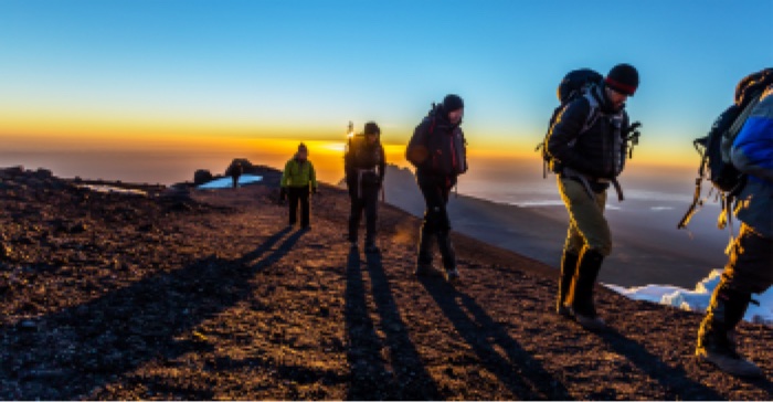
I’ve signed on for Kili for September 2020 with Tusker Trail.
Looks like fun.
Click PLAY or watch it on YouTube.
by site editor Rick McCharles
I’ve finally scheduled Kilimanjaro for September 2020. Kili is our #1 ranked trekking peak.
I’ll be joining the expedition organized by friends David Adlard and Kraig Becker.
Cost is $5480 including everything from arrival to departure in Tanzania.
We’ll be taking the longer, less traveled Lemosho Route to maximize our chances of getting to the top.

How Do You Sign Up?
You can sign up for the trek on the Tusker website or by calling them at 800-231-1919 or +1-775-833-9700.You can also email them directly with questions or comments as well. When you do sign up, be sure to mention that you are joining The Adventure Podcast/Blog Kilimanjaro Expedition. A $1000 deposit is due when you make your reservation.
Ultimate Gear Lists:
The Pyrenees High Route (Haute Route Pyrénées, HRP) is a long distance hiking trail that follows the mountainous divide along the French-Spanish border. …
The 497 mile (800 km) long HRP trail follows the backbone of the mountain range all the way from the Atlantic Ocean in the west to the Mediterranean Sea in the east. On average it takes about 45-50 days to complete. Since many hikers are unable to spare the time, expense, or effort necessary to thru-hike the entire trail, we suggest an alternative 5-6 day itinerary below that covers some of the most stunning sections of the trail. …
It is also worth noting that the Pyrenees are home to two other long distance trails: the French GR10 and Spanish GR11. Both of these trails also follow the Pyrenees mountains for their entire length. However, the GR10 and GR11 each remain exclusively on one side of the French-Spanish border, travel at a lower elevation, and are well marked. Whereas the HRP trail constantly hops back and forth across the border, follows the highest part of the mountain range, and is not officially marked. …
Click PLAY or watch it on Facebook.
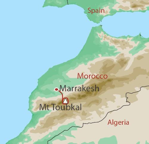
I did the Toubkal Circuit independently last year finishing with a climb to North Africa’s highest summit.
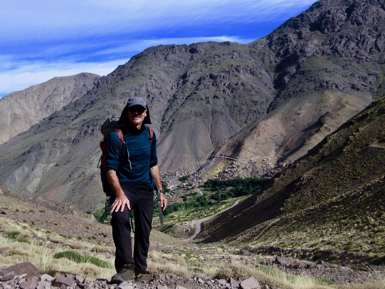
Closest international airport is Marrakesh.
In collaboration with Mount Toubkal Adventure, Bookatrekking.com gives away a complete trip to the highest mountain in North Africa.
The trip includes accommodation (2 nights in Marrakech), meals, luggage transport (on mules) and guides to the top of Mount Toubkal!
Flights are not included.
Apply here.
related – 10 Tips to Summit
NOTE: Two female Scandinavian hikers were killed by wannabe ISIS jihadists last year.
trip report by BestHike editor Rick McCharles
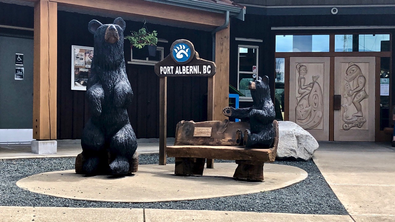
Stage 1 – Port Alberni to China Creek
My Dad dropped me at the Port Alberni visitor centre. This was the start of my Pacific N.W. BikePacking tour.
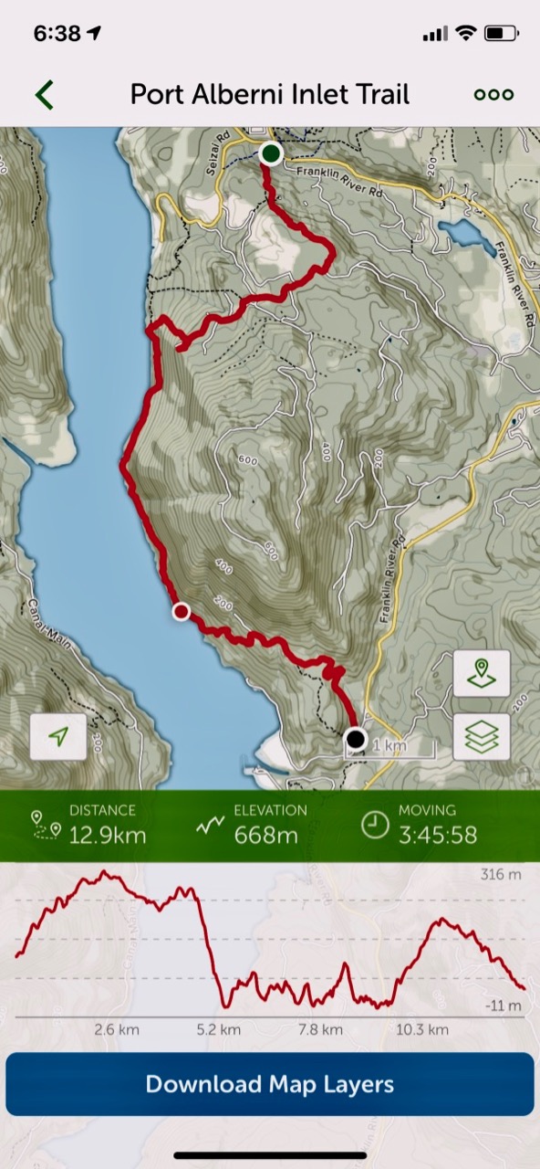
For my first hike, I used the paid version of the AllTrails app. And I needed AllTrails as parts of the trail close to China Creek are overgrown and difficult to find.
Even better is the Relive app. Click PLAY or relive my hike on YouTube.
It was tougher than I expected with non-stop up and downs.
There are many bears in the area. This was the only sign I saw.

In fact, the only animal life of interest was the first Garter Snake I’ve seen this season.

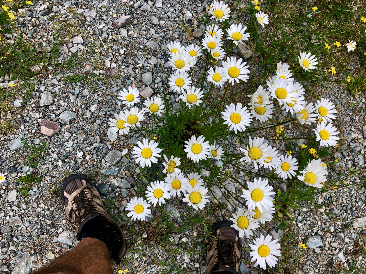
Wild flowers lovely.
This trail is maintained. But the section closer to Port Alberni is in far better shape.

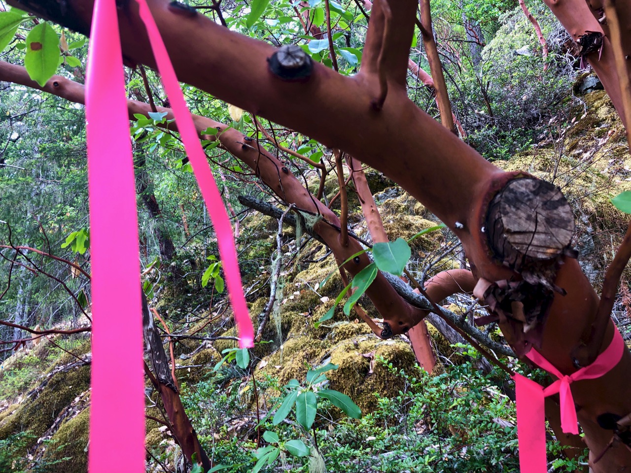
At times you have to rely on flagging tape to find the trail.
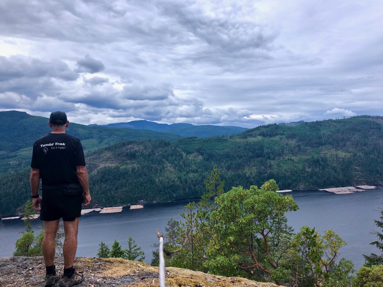
One highlight is a vista of Port Alberni from on high.

The coastal section is cool. Boom.

All in all, I’d recommend the Alberni Inlet trail.
In the beginning of 2018 we decided to completely change our lives and do what we love. We quit our office jobs in order to travel and hike around Europe.
Click PLAY or watch it on YouTube.
Montenegro – Durmitor national park (stunning mountains with many hiking trails)
Montenegro/Albania – Prokletije national park (gorgeous landscape without crowds)
Bosnia and Herzegovina – Prenj mountain range (beautiful green fields surrounded by rocky mountains)
Switzerland – Grindelwald area (avoid cablecars and you will hike almost alone)
Montenegro – Tara canyon (most iconic bridge over biggest canyon in Europe and 2nd in the World)
Italy – Dolomites (most epic mountain range in Europe with many hiking options)
Austria – Schladminger tauern (beautiful green fields, massive green mountains)
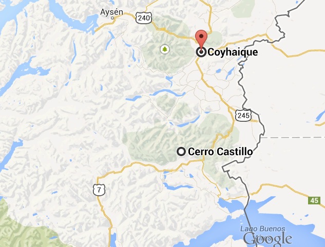
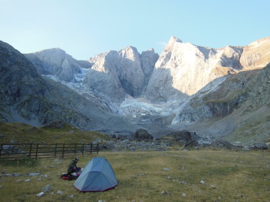
Adventure Alan:
… you’ll see far fewer people on the Cerro Castillo Trek than hikes of similar beauty and stature in other areas of Patagonia — like the Torres del Paine Trek, or the Fitz Roy Trek in Argentina’s Los Glaciares National Park. As such, the Cerro Castillo Trek is a fabulous place for adventurers looking for the trail less traveled …
Duration – 3 to 4 Days. Moderately fit hikers can easily do this in 3 days.
Distance – 34 miles (54 km) classic route [with a shorter option for 25 miles (40 km)]
Level of Difficulty – Moderate
Best Time of Year – December to March, Austral summer
The Cascade Saddle Route is a 17km alpine crossing that connects West Matukituki Valley with the Dart Valley in Mt Aspiring National Park.
It is a very challenging and technical climb and numerous deaths have occurred here, so you will need advanced tramping experience to navigate the pass safely. …
Click PLAY or watch it on YouTube.
Department of Conservation – official webpage