I enjoyed Keith Foskett’s PCT and Appalachian Trail books so couldn’t resist when offered this book for free. (Kindle edition)
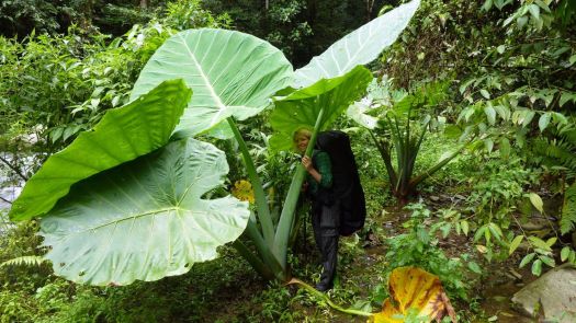
In this book he shares a collection of trips, thoughts and observations from his award-winning blog. From the extremes of the New Mexico wilderness to his beloved South Downs in England, he observes the world with clarity, hope, daydreams and humour.
With tales of local history, the changing of the seasons, facing death and pursuing his chosen path, this is a glimpse into one man’s unfaltering passion to follow his dreams.
His local favourite 100 mile hike. The micro-adventure he discovered connecting paths around his village. His failed attempt on the Continental Divide Trail.
Foskett explains why we hike as well as any author.