Trip report by BestHike editor Rick McCharles
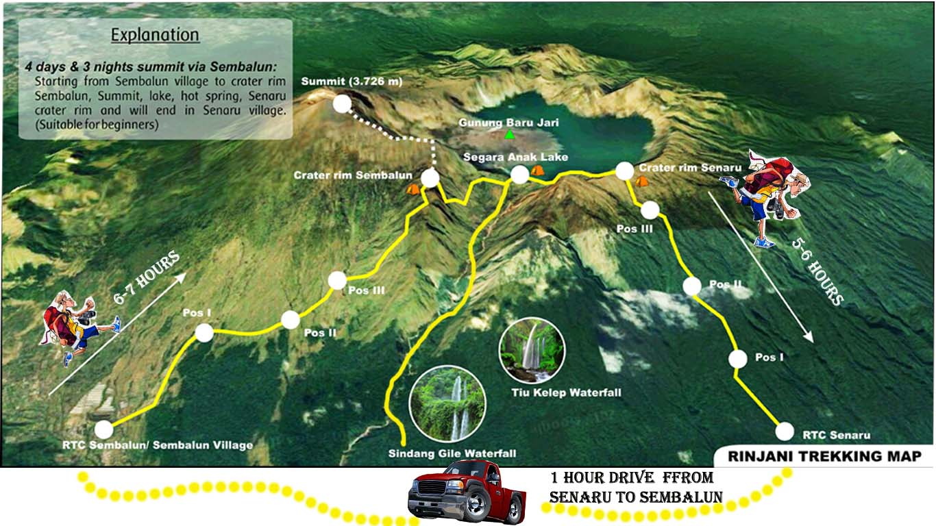
SUMMIT DAY
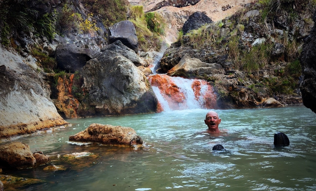
Awoke at the lake before dawn. Went straight to the hotsprings on my own. Had the hot bath to myself.
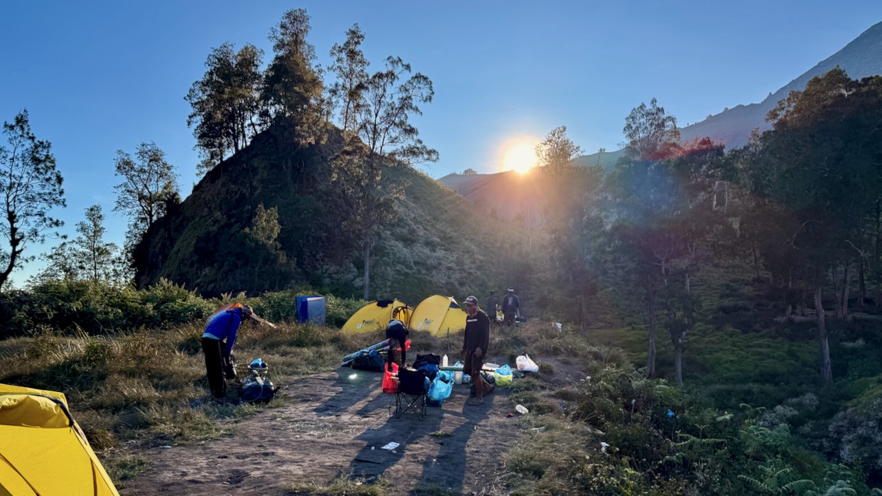
We packed up camp quickly.
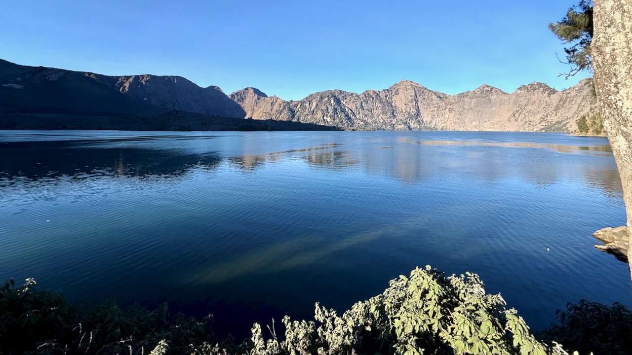
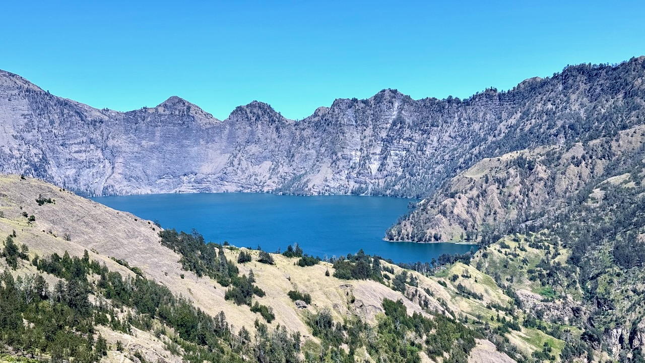
Said goodbye to the lake.
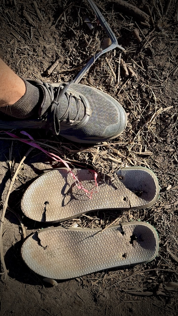
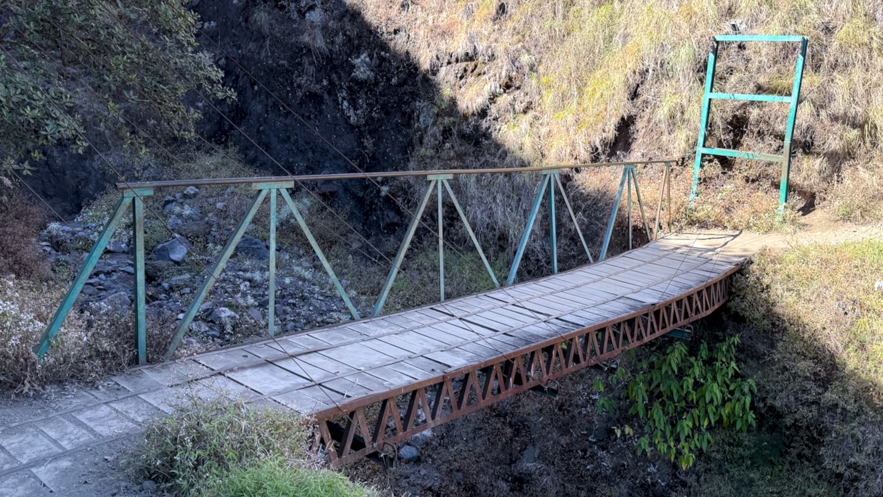
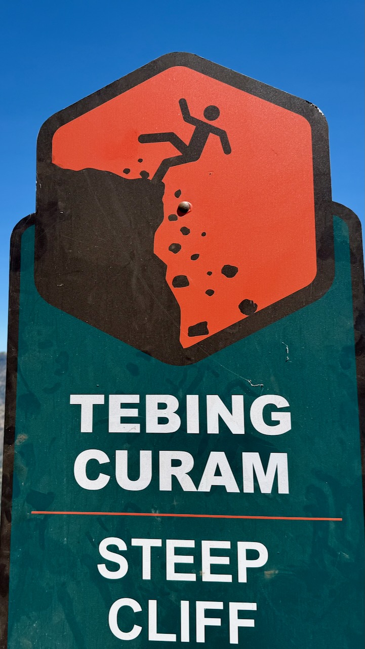
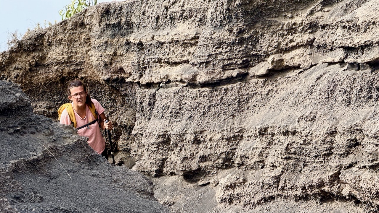
There are only a few bridges on this adventure. More often you scramble down — and back up. It must be miserable in the rain.
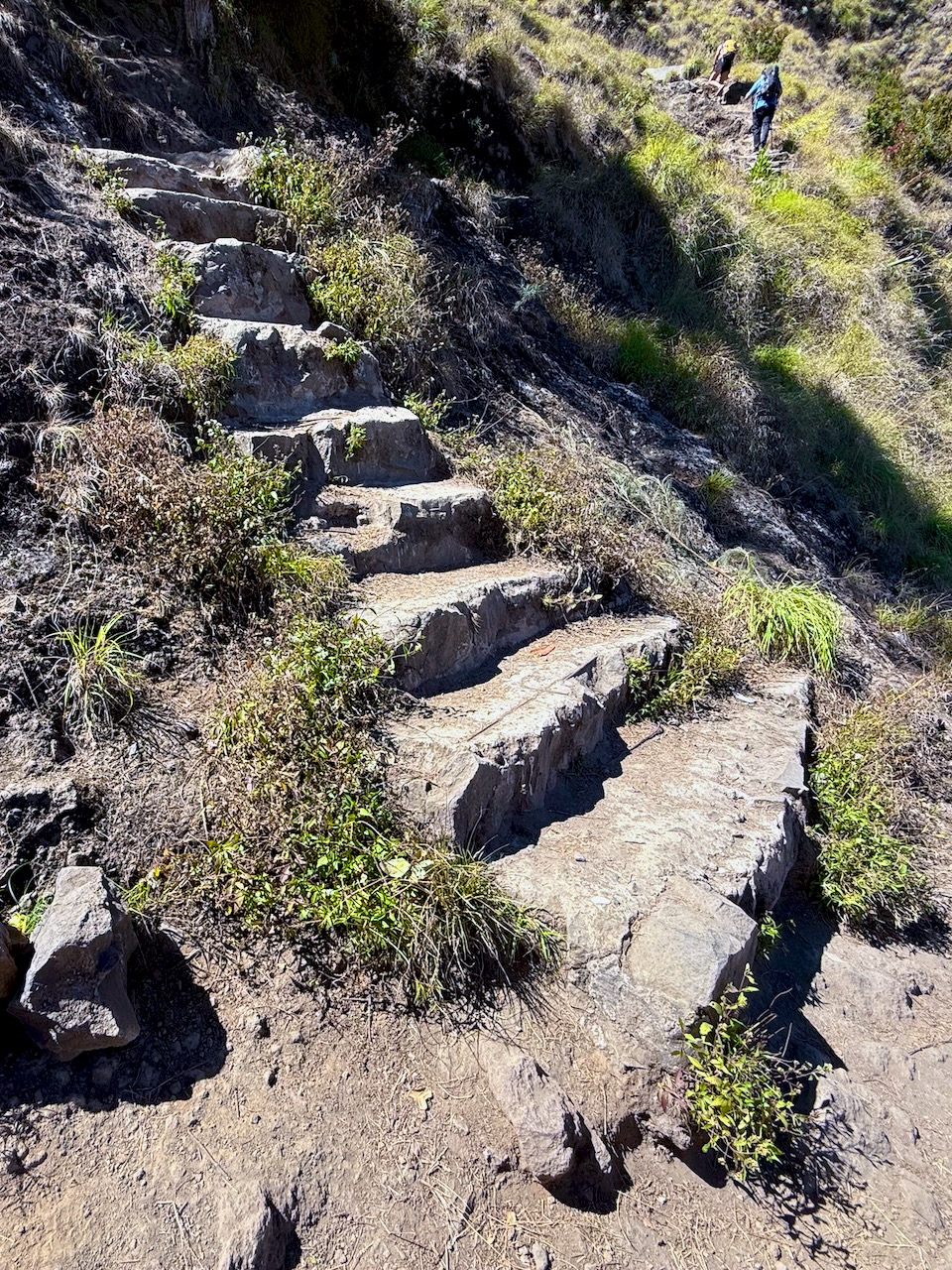
Rarely are there stone steps. This ain’t Nepal.
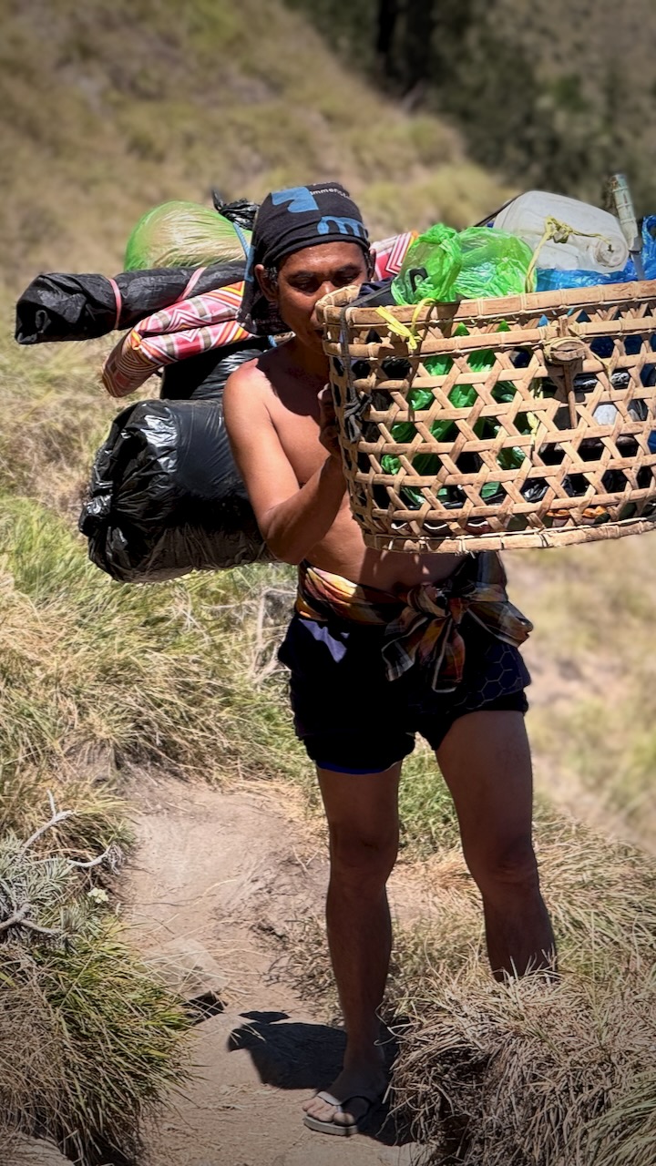
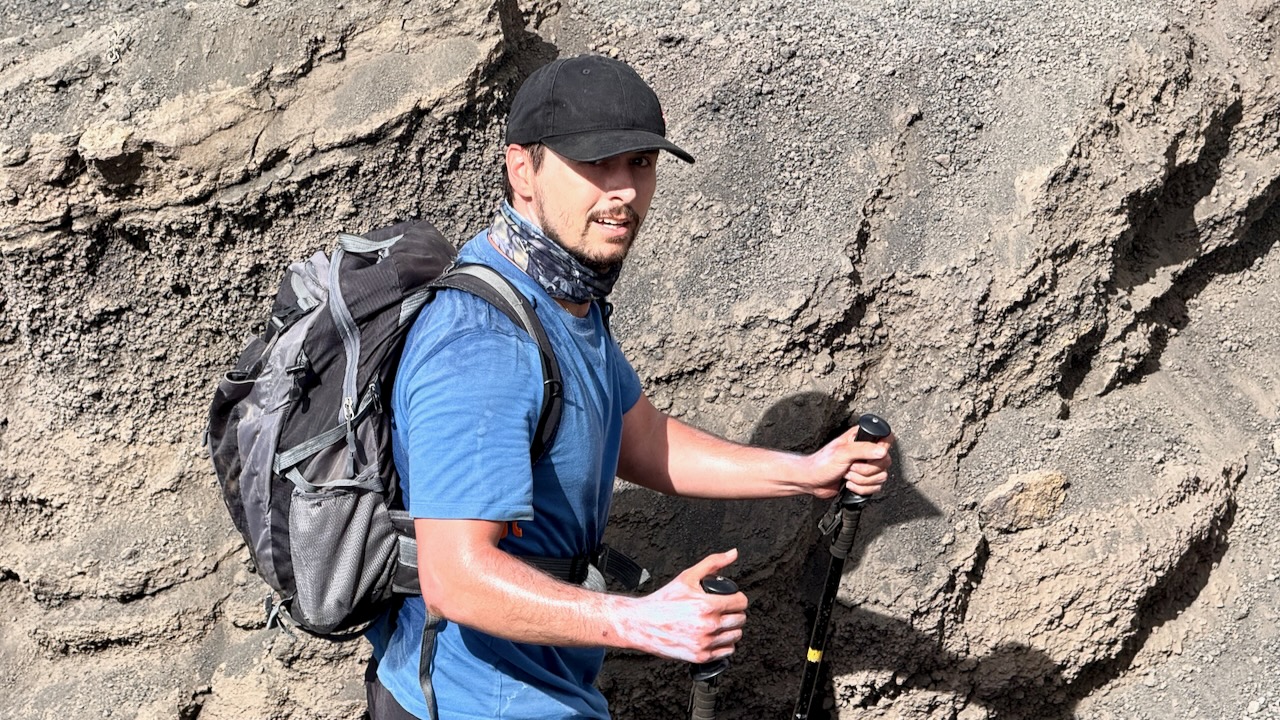
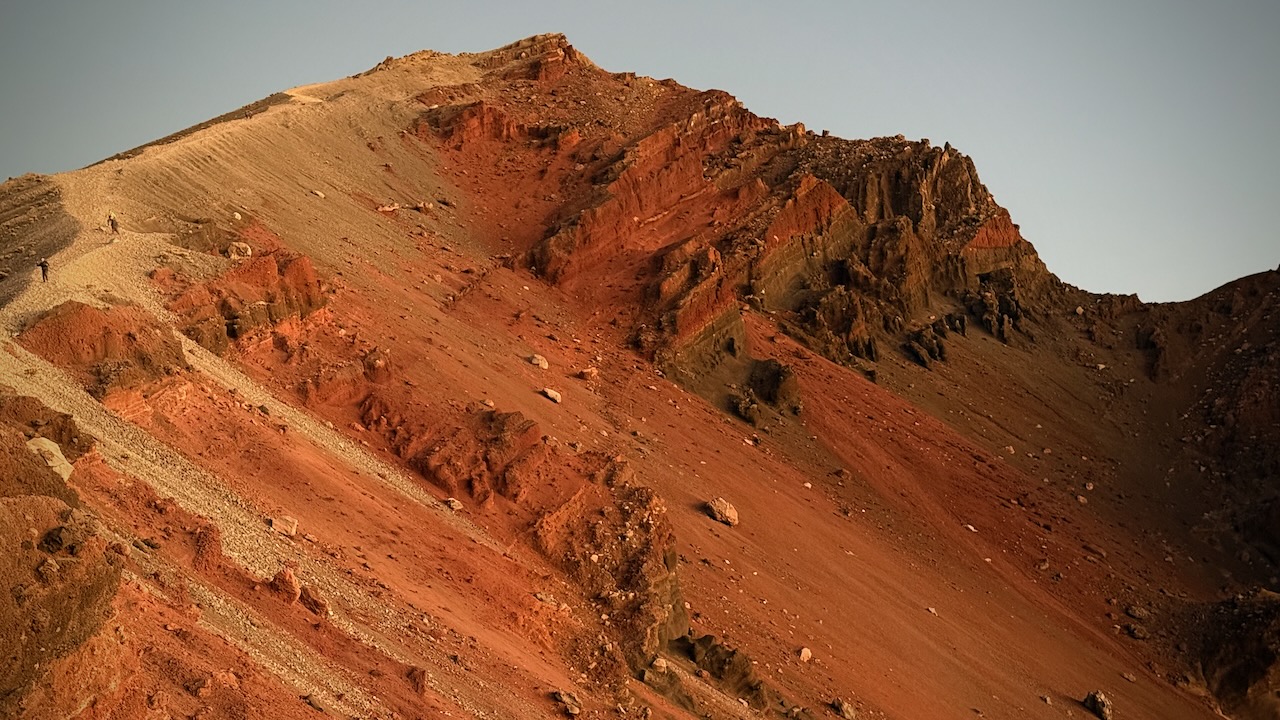
We had about 600m to gain back climbing up to the 2nd crater rim from the lake.
It was tough.
When I say tough, in addition to being technical, we increasingly had to deal with slippery ash.
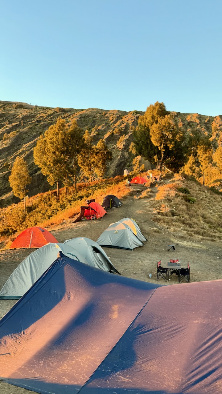
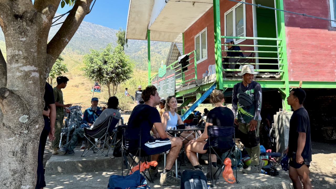
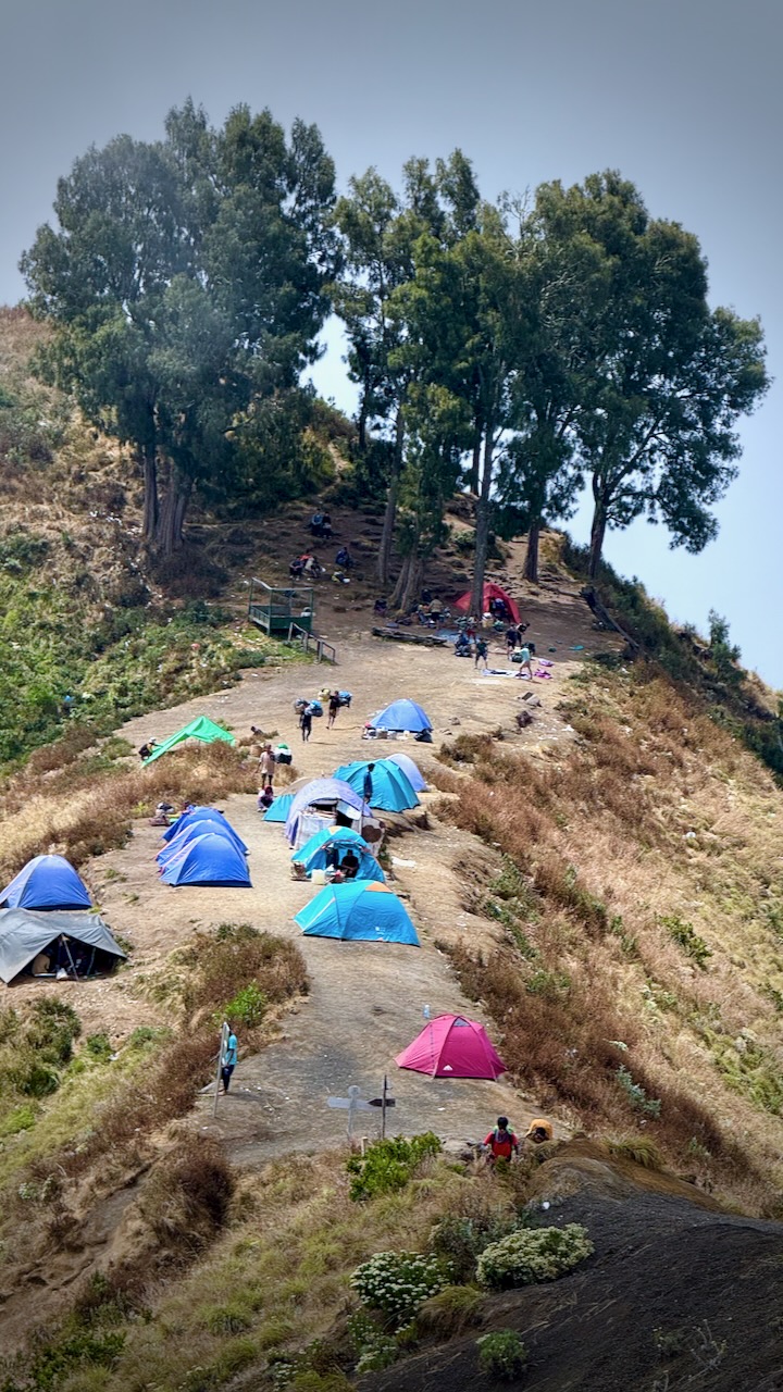
Once on the ridge, we set-up our tents. Had lunch. Then a short lie down until 2pm.
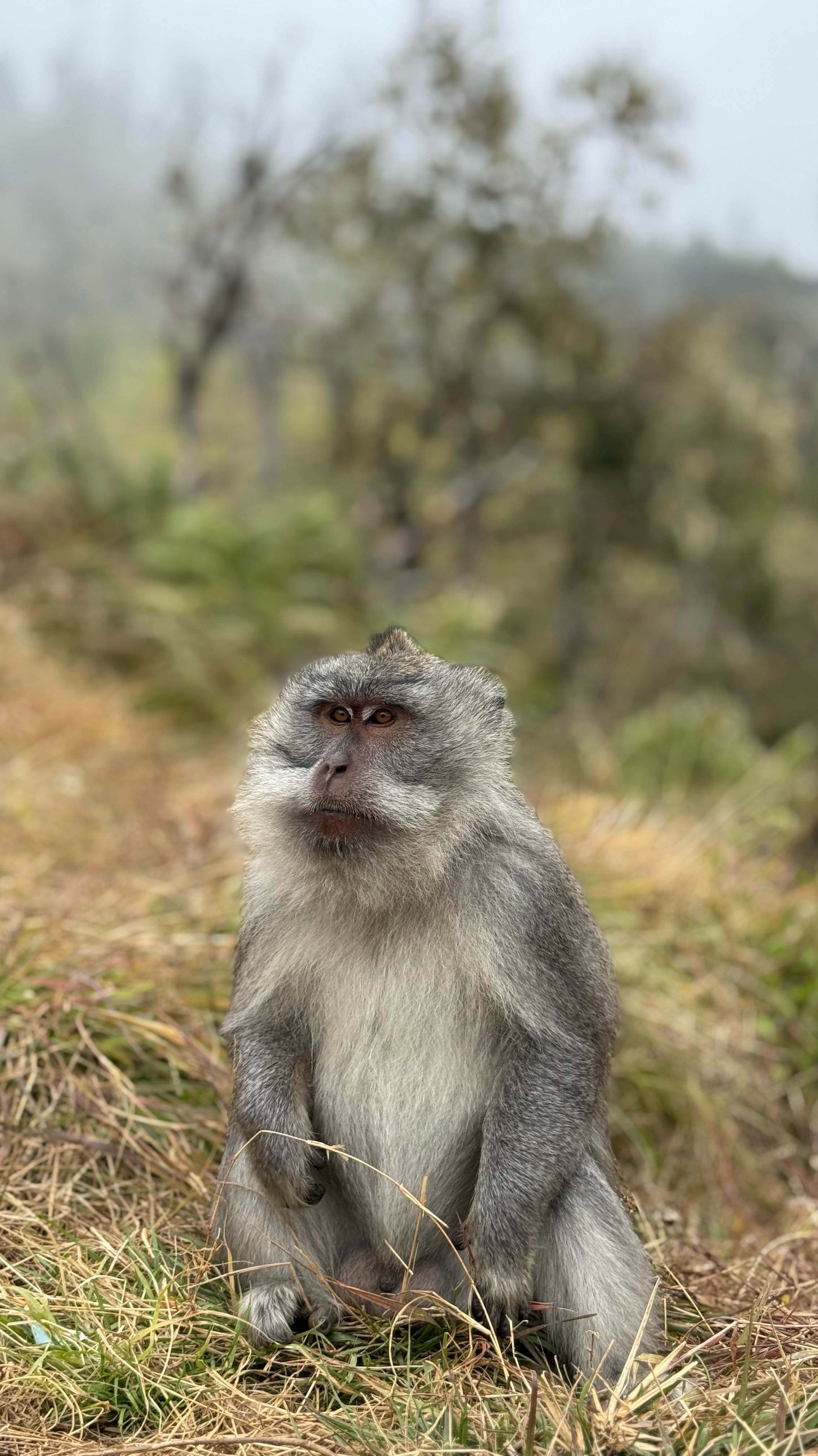
One of these pests actually went inside Mason’s tent while he was there! Cheeky.
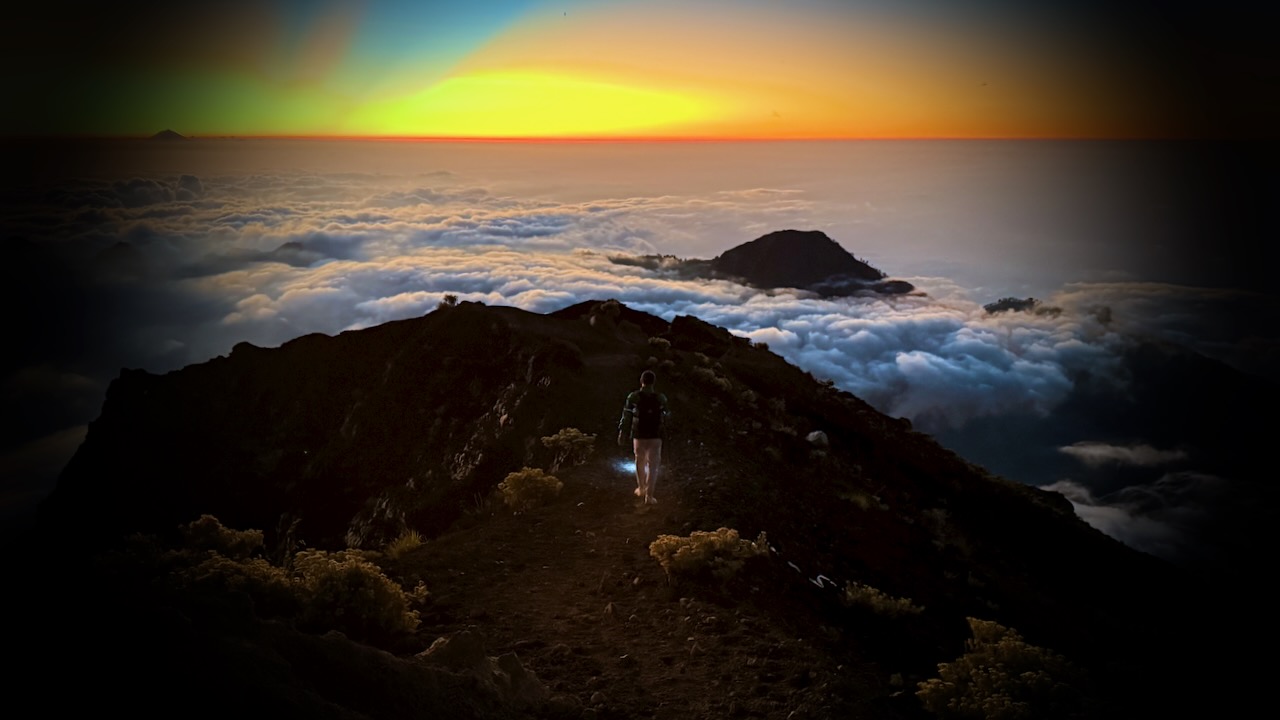
We’d decided as a group to go for sunset today rather than sunrise the following morning. This turned out to be our best decision.
That means we’d climb another 1100m trying to get to the top before the sunset. A deadline.
It looked doable to me.
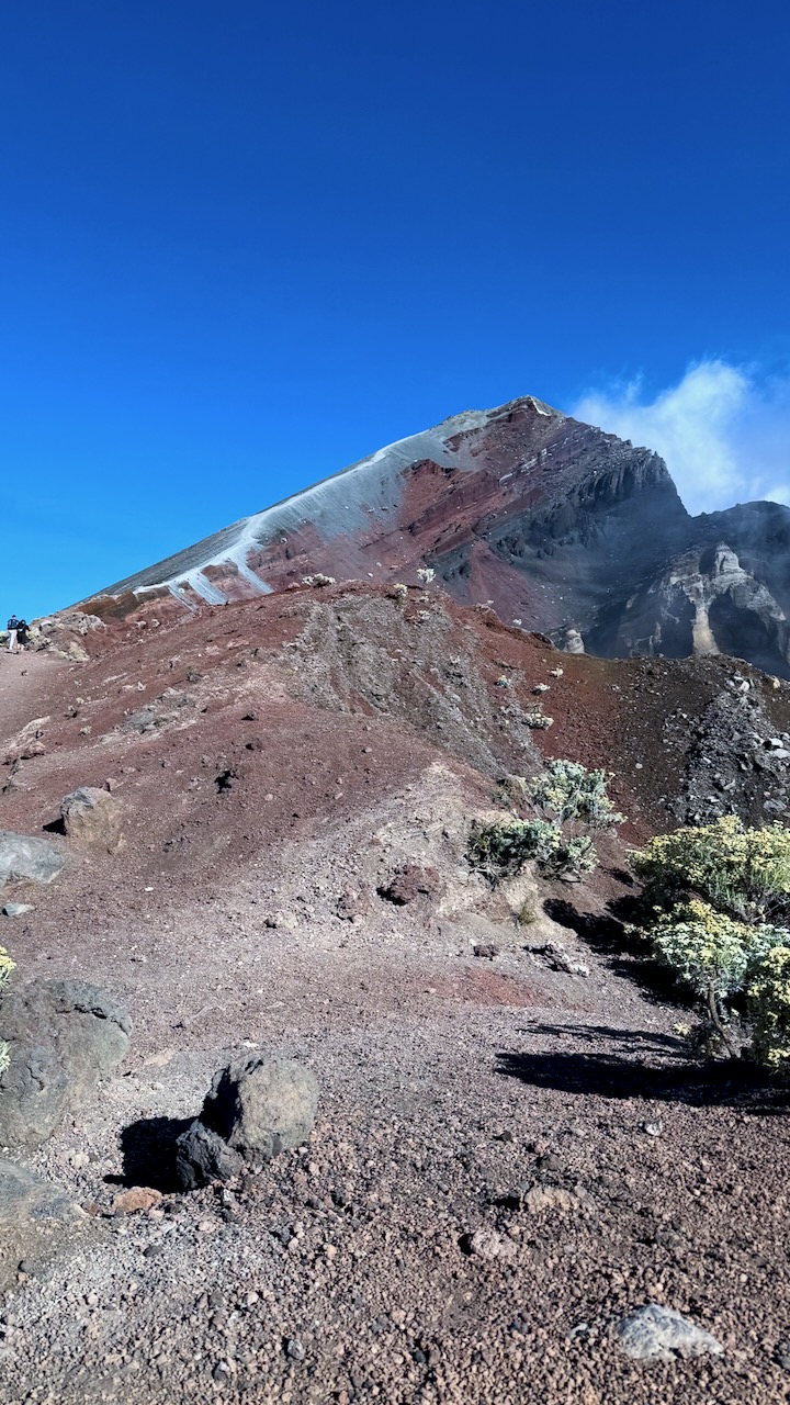
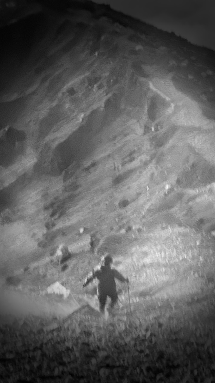
BUT it got increasingly slippery and dusty as we ascended.
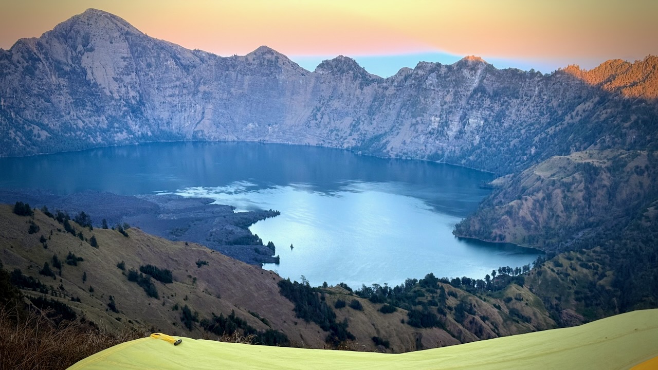
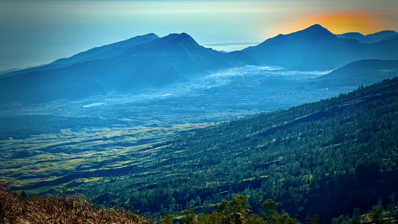
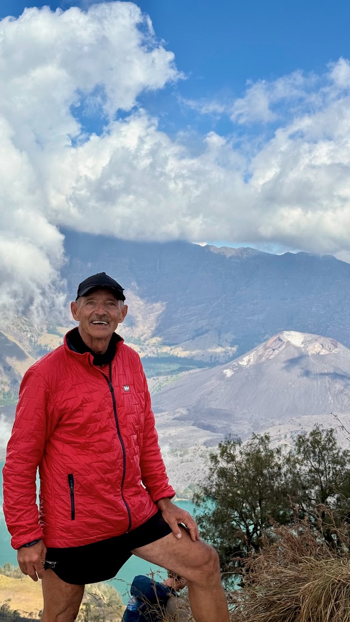
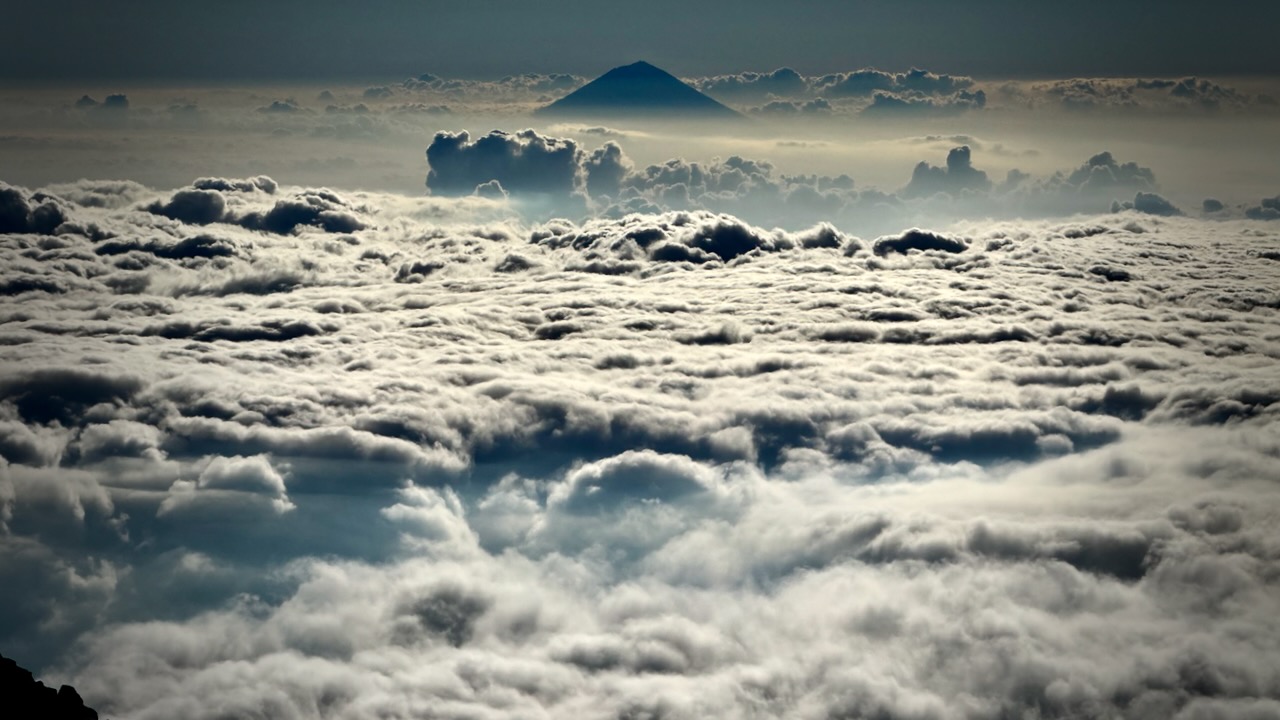
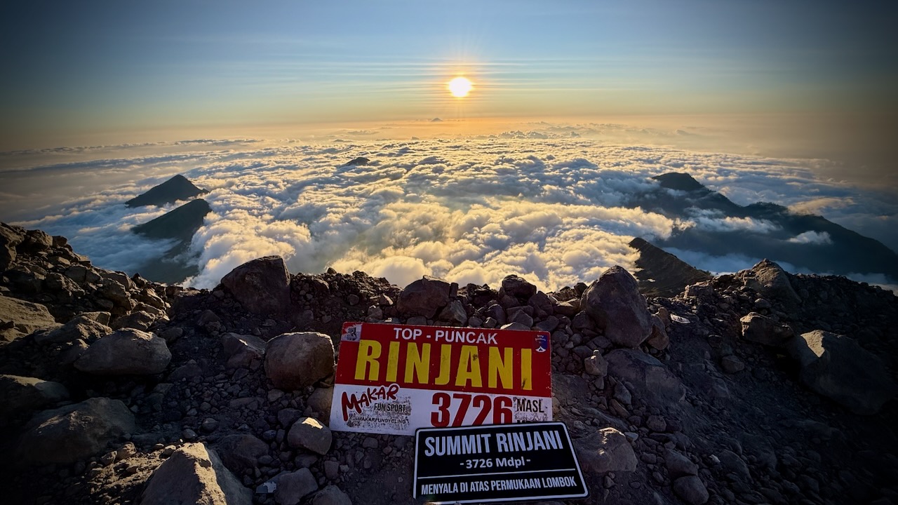
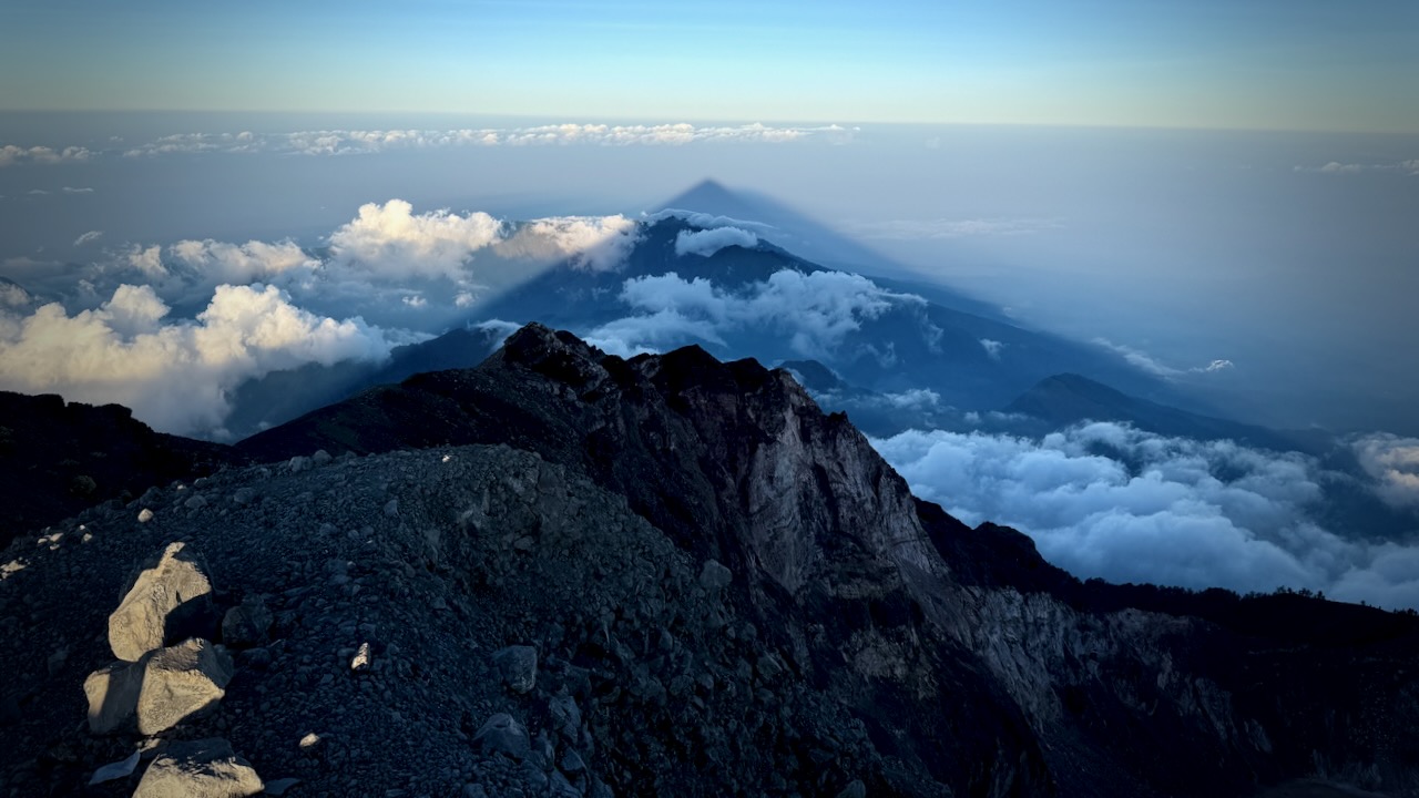
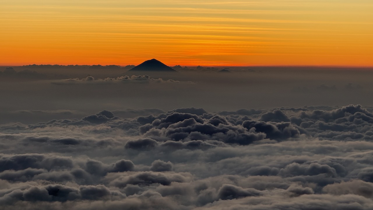
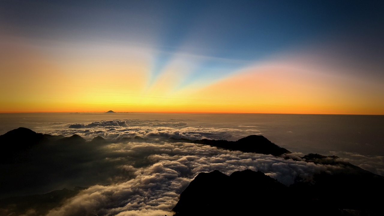
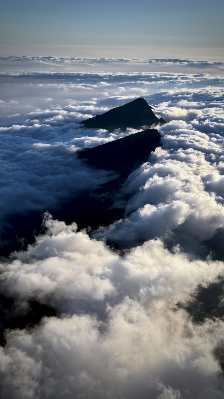
Once above the clouds, we were motivated by the amazing vista.
Gorgeous views — though it was dusty plodding in sections.
Very, very slippery — we all used systems to keep scrambling slippery scree. I did bouts of 20 steps.
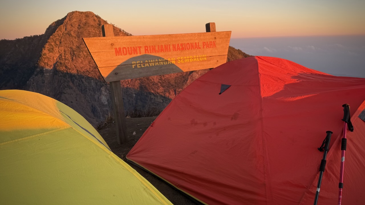
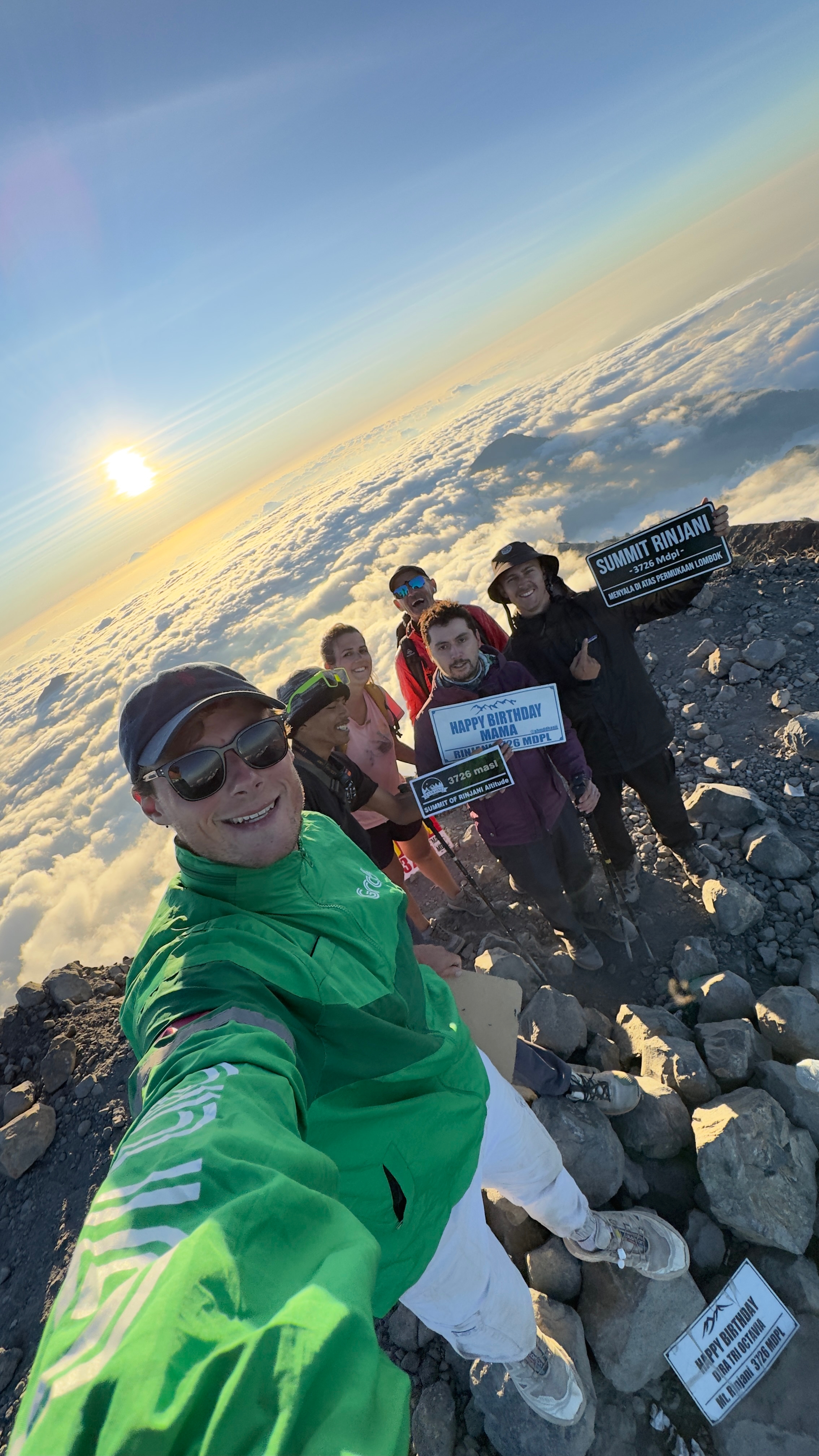
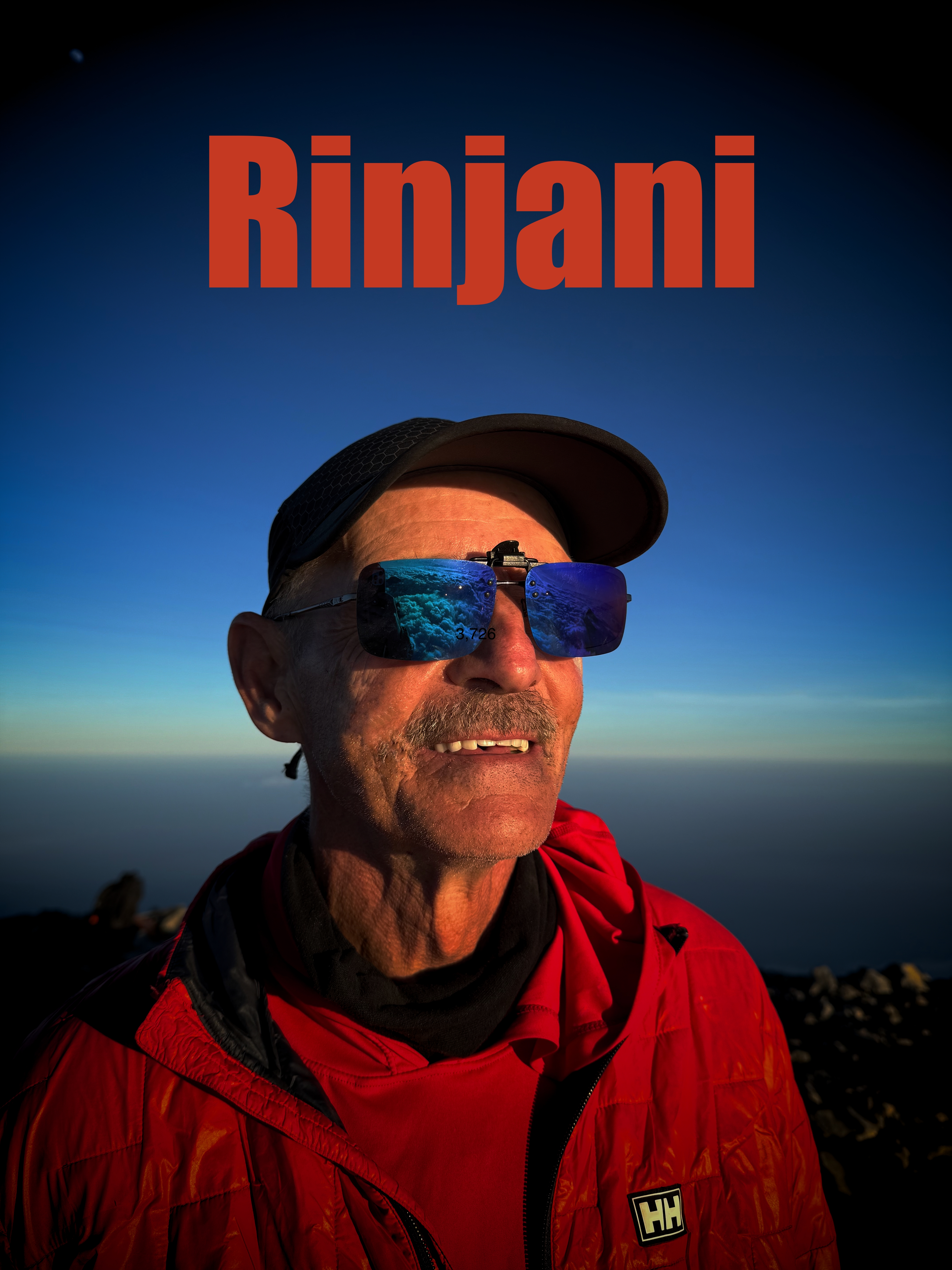
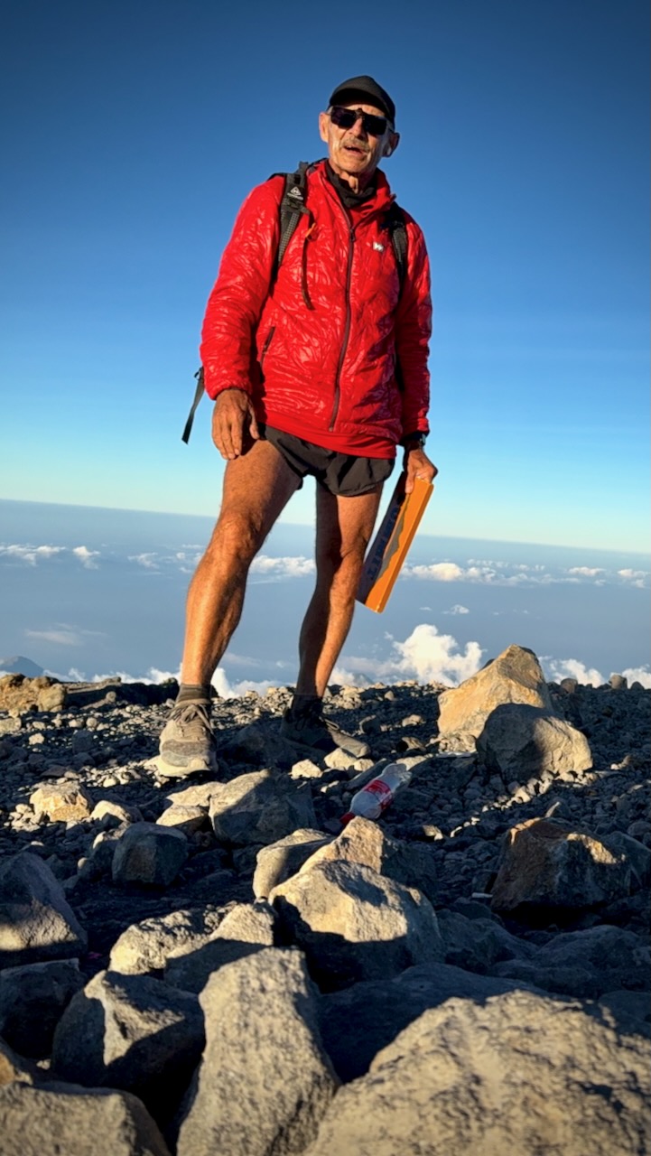
Made it! And well before sunset.
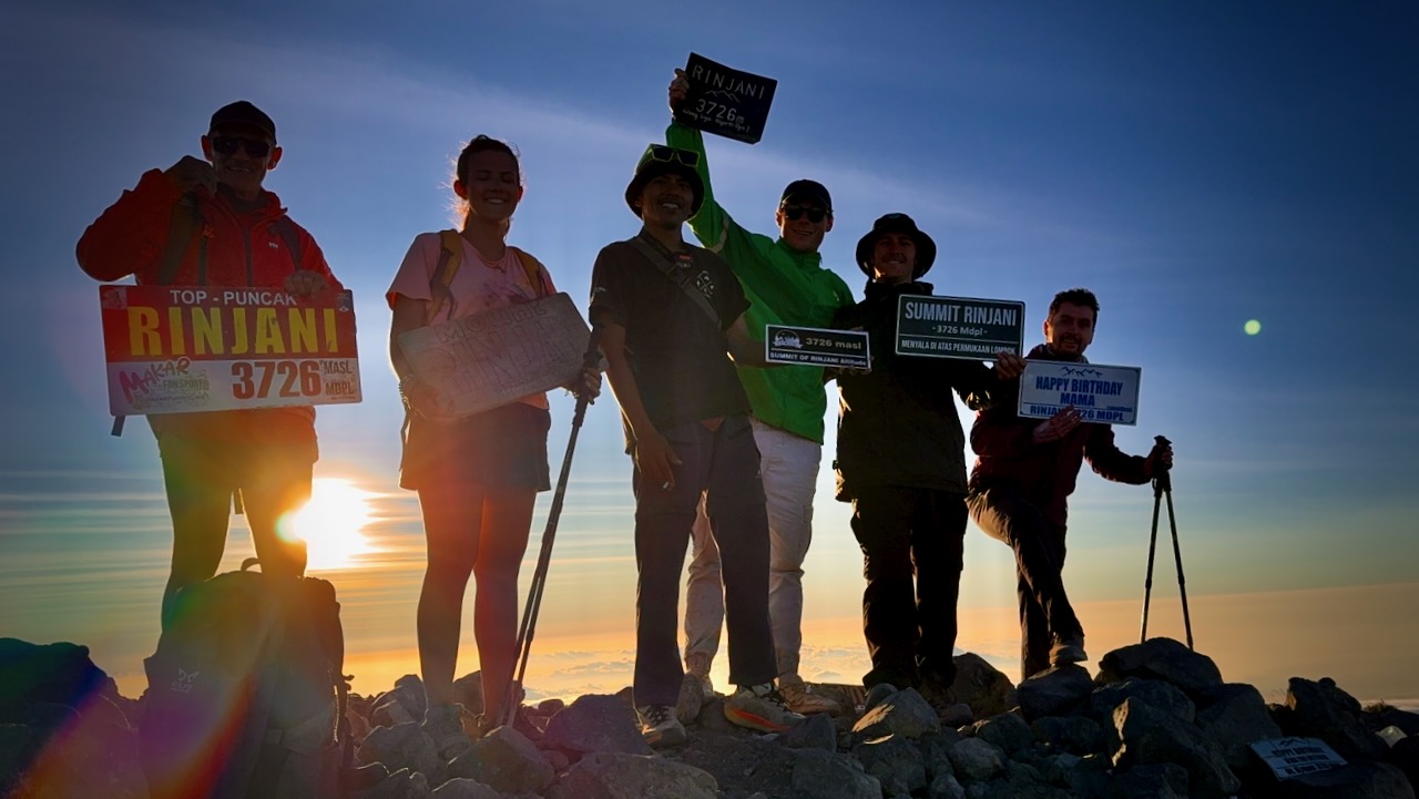
Only 1 other group tried our itinerary. Perhaps half their group finished, just about sunset.
In fact, I left the top even before sunset as I wanted some visibility on the scree section at the top before it got dark.
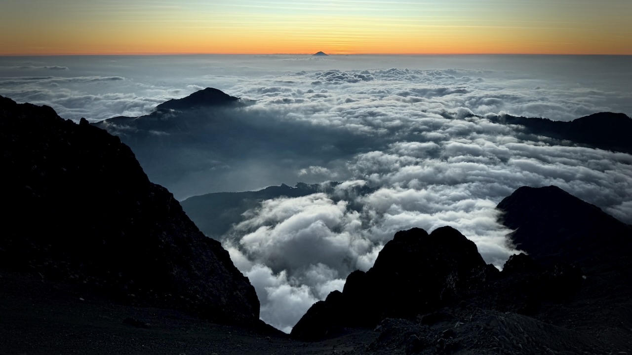
Descent turned out to be fairly easy. Mostly screeing through the loose dust and rock (scree).
Views on the way down were even better than on the ascent.
Eventually we had to turn on our headlamps. I held mine in one hand, finding it easier to direct the beam.
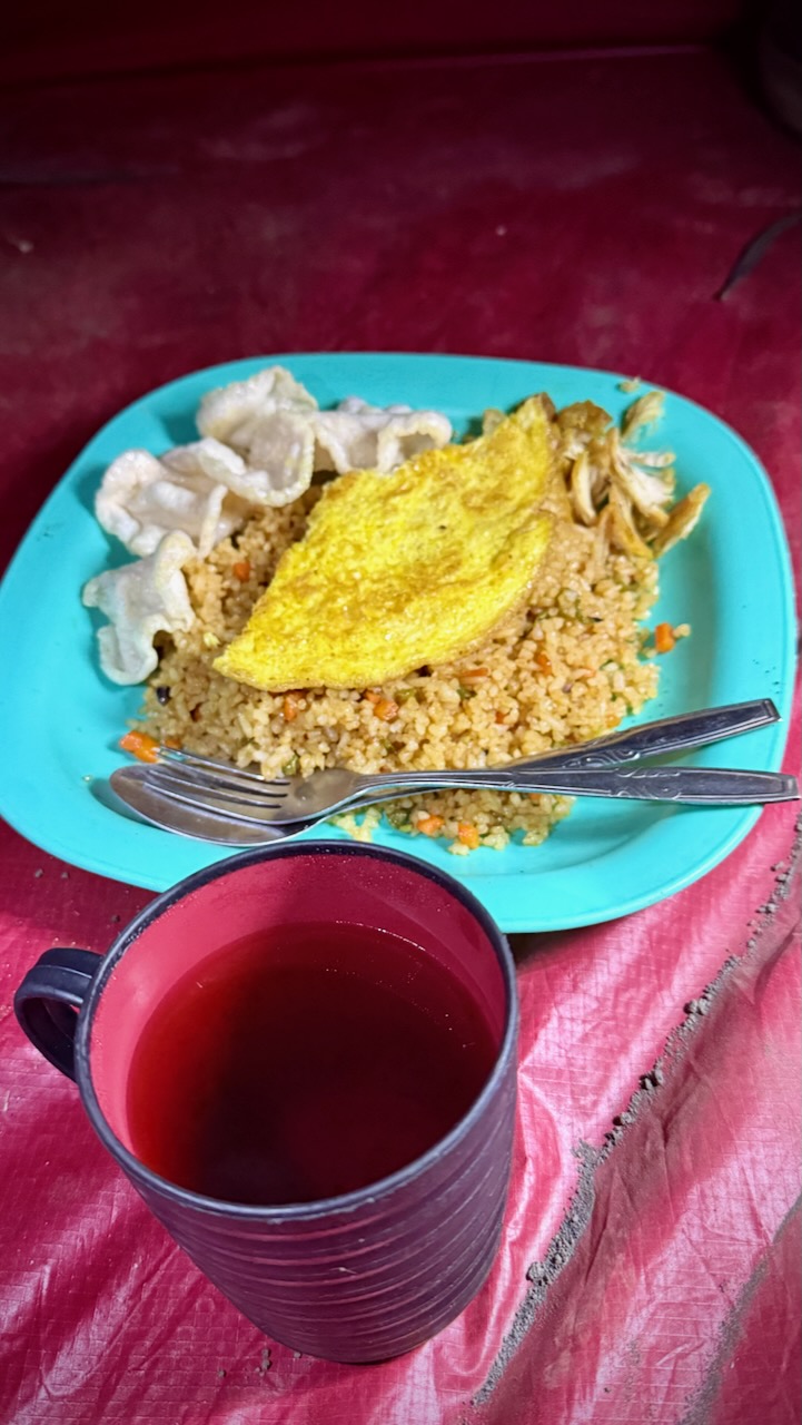
Exhausted, we had dinner in our tents. And went to sleep early.