Climbing Rinjani, Indonesia – day 2

Trip report by BestHike editor Rick McCharles

SUMMIT DAY

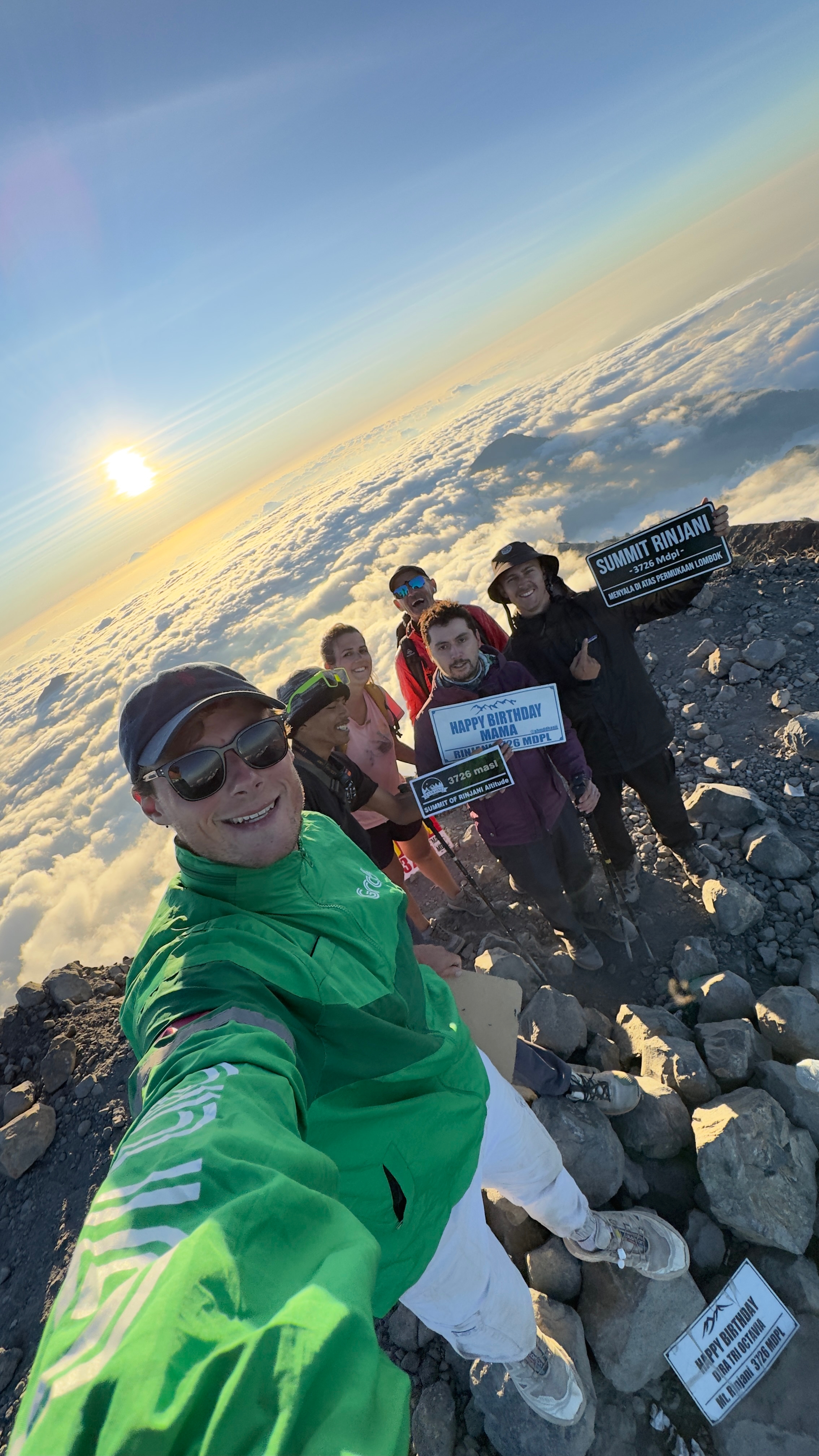
Tim’s great selfie (tim_de_bruijn on Instagram)

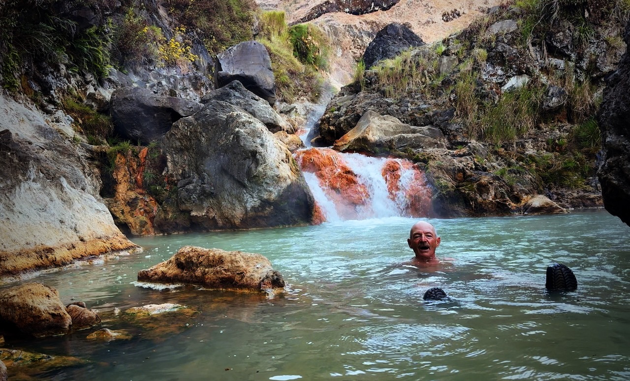
Awoke at the lake before dawn.ย  Went straight to the hotsprings on my own.ย  Had the hot bath to myself.ย 

We packed up camp quickly.ย 

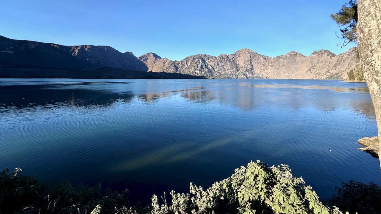
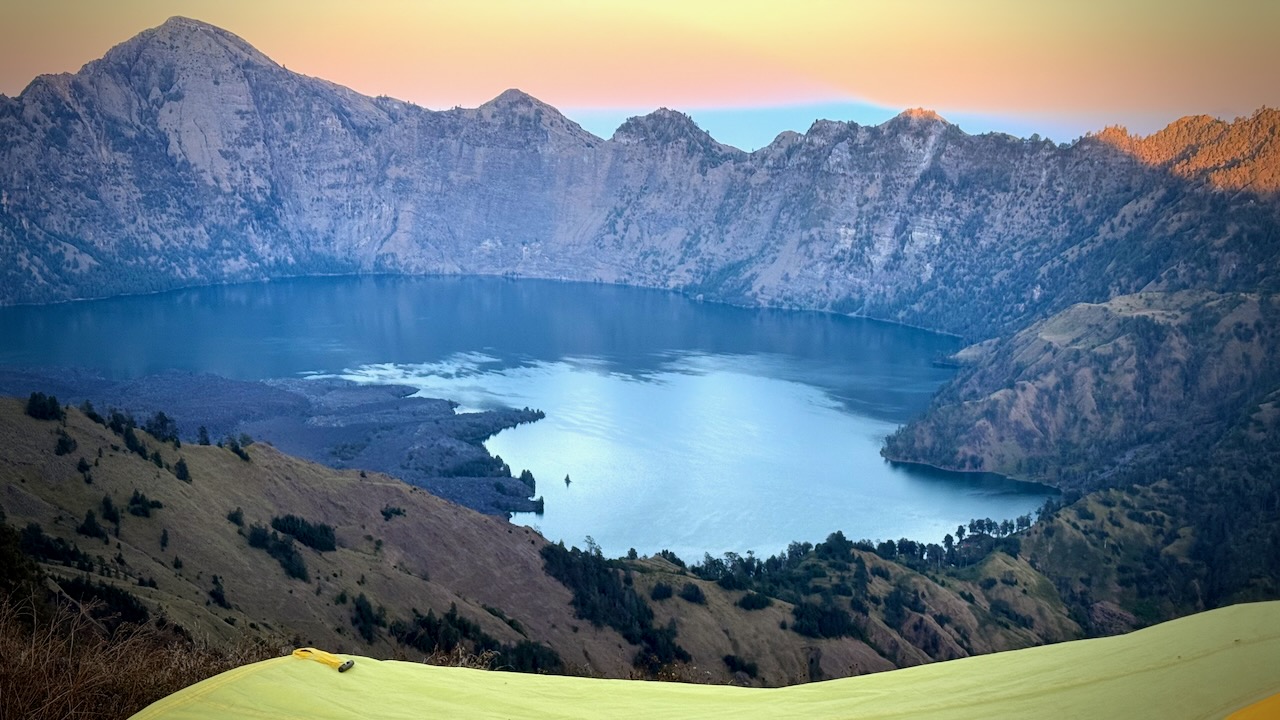
Said goodbye to the lake.ย 

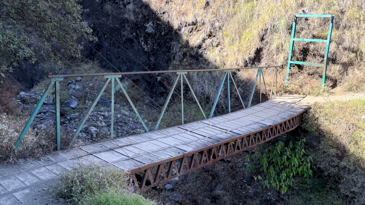
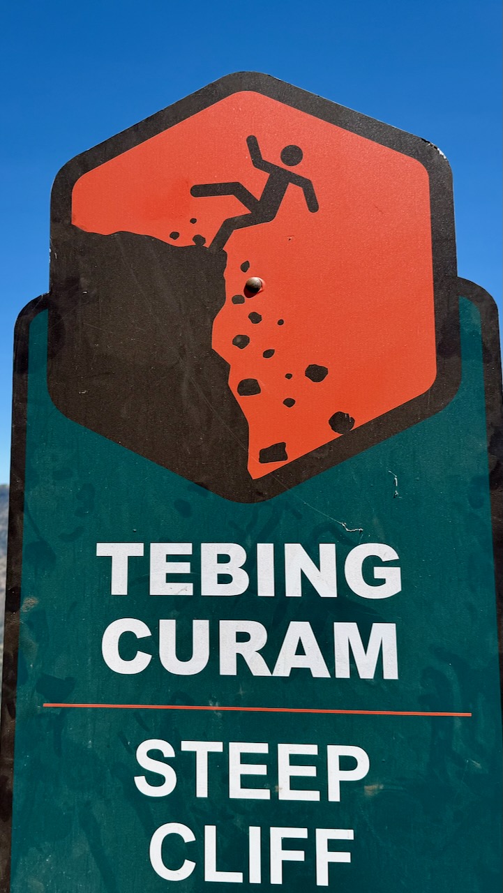
There are only a few bridges on this adventure.  More often you scramble down โ€” and back up.   It must be miserable in the rain. 
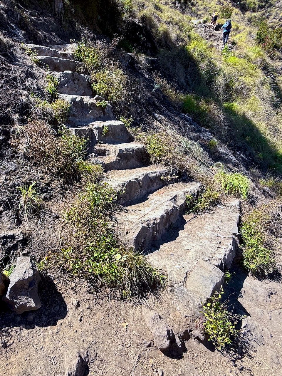
Rarely are there stone steps.ย  This ainโ€™t Nepal.ย 

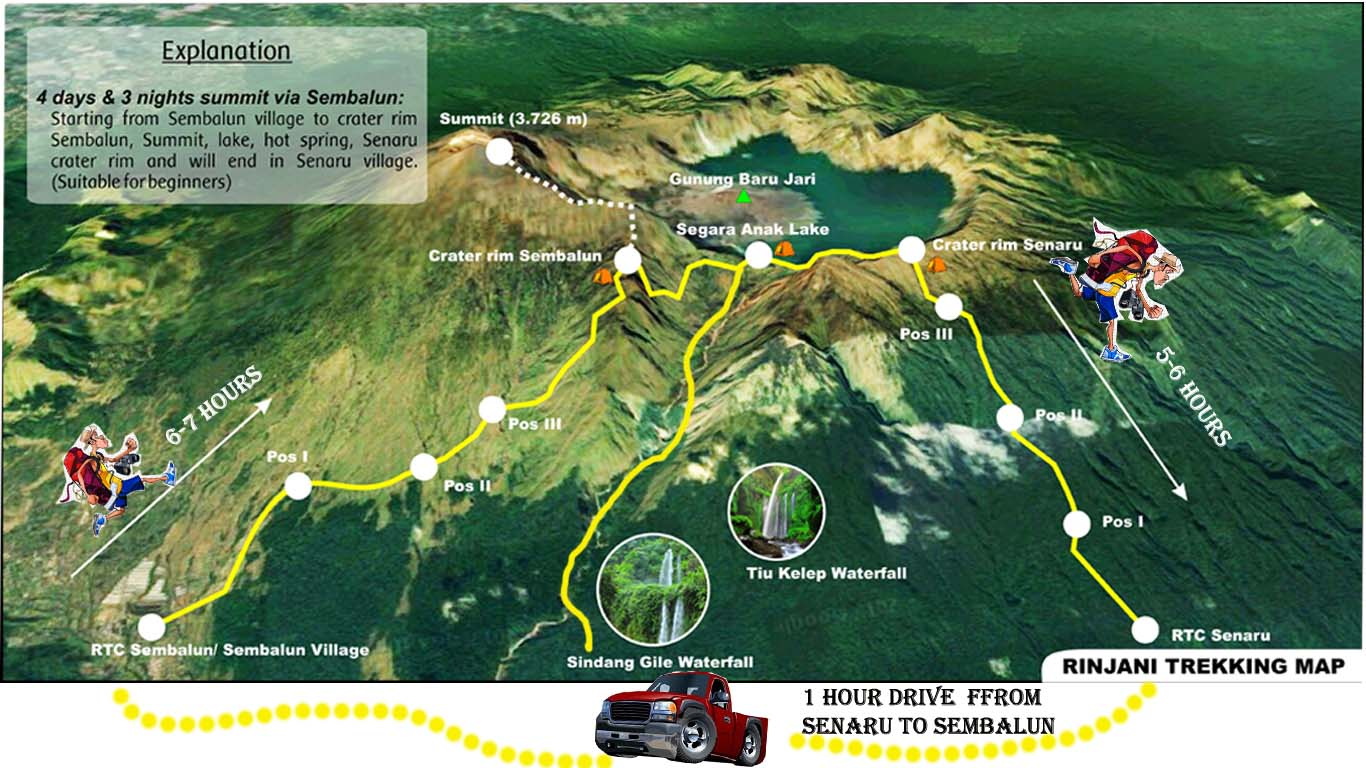
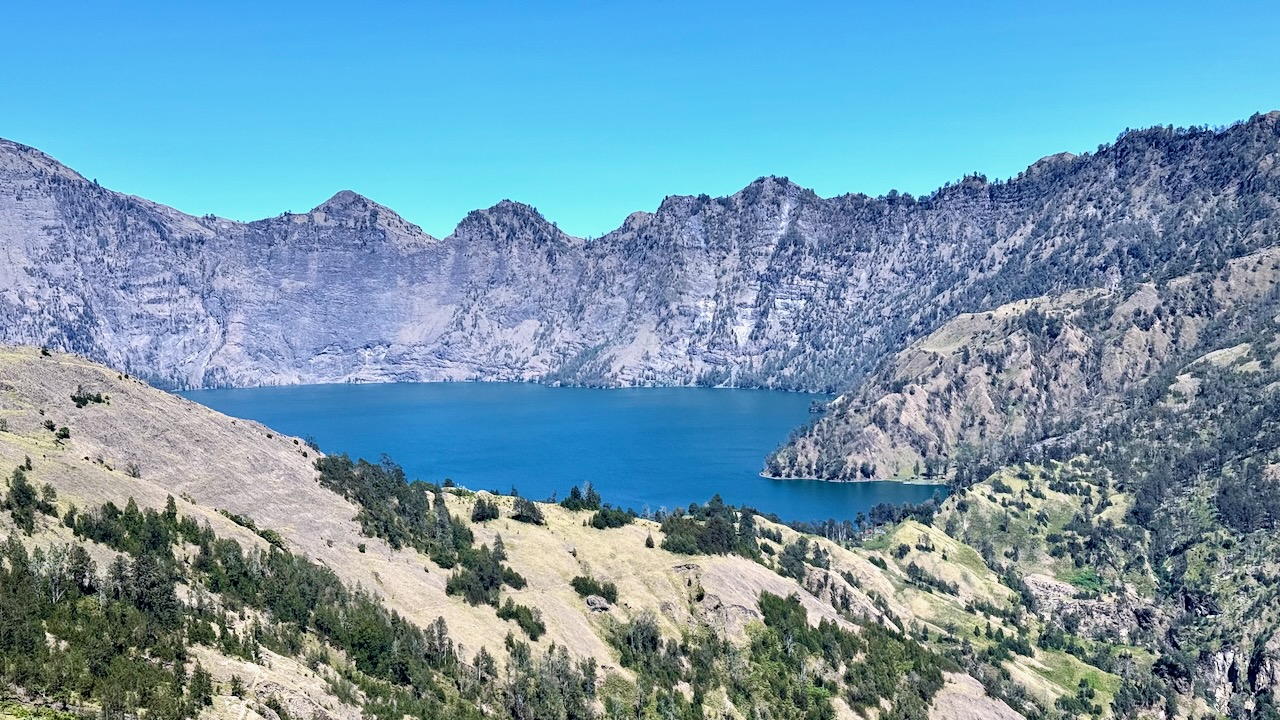
We had about 600m to gain back climbing up to the 2nd crater rim from the lake.ย 

It was tough.

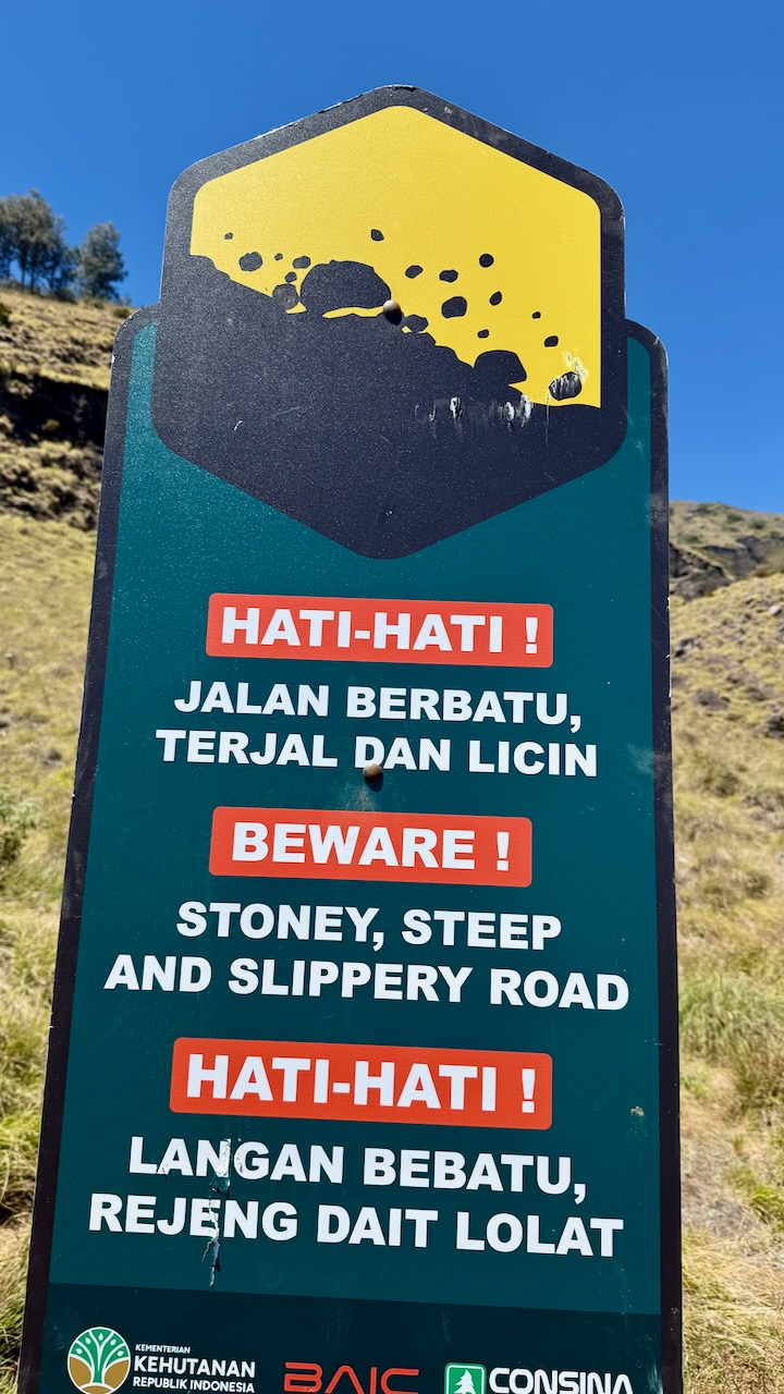
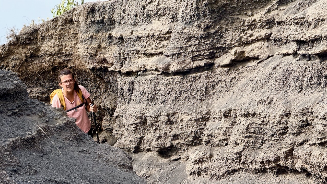
When I say tough, in addition to being technical, we increasingly had to deal with slippery ash. ย 

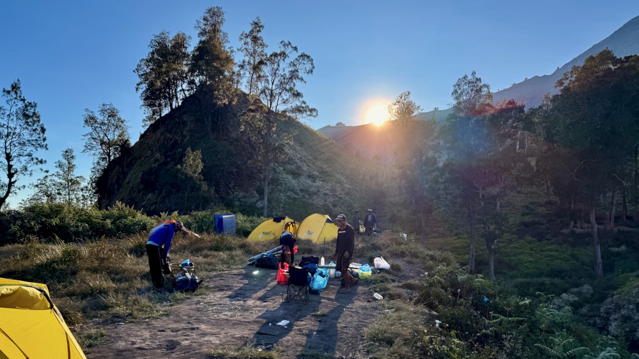
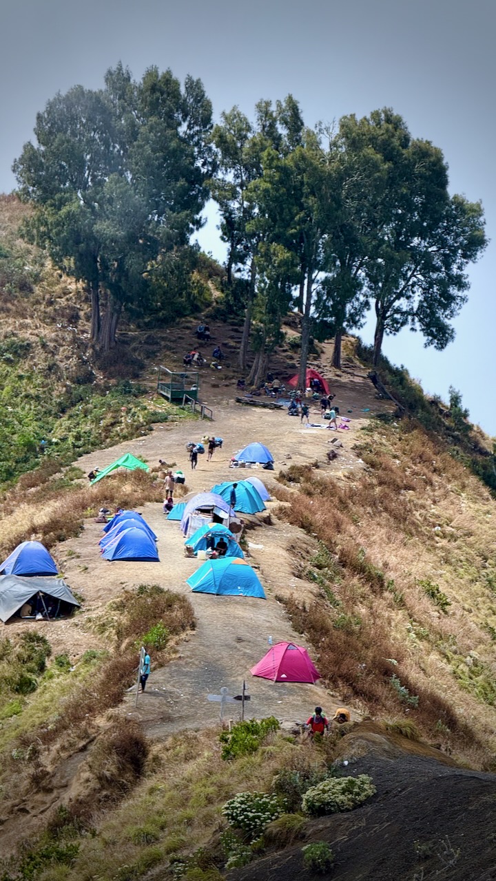
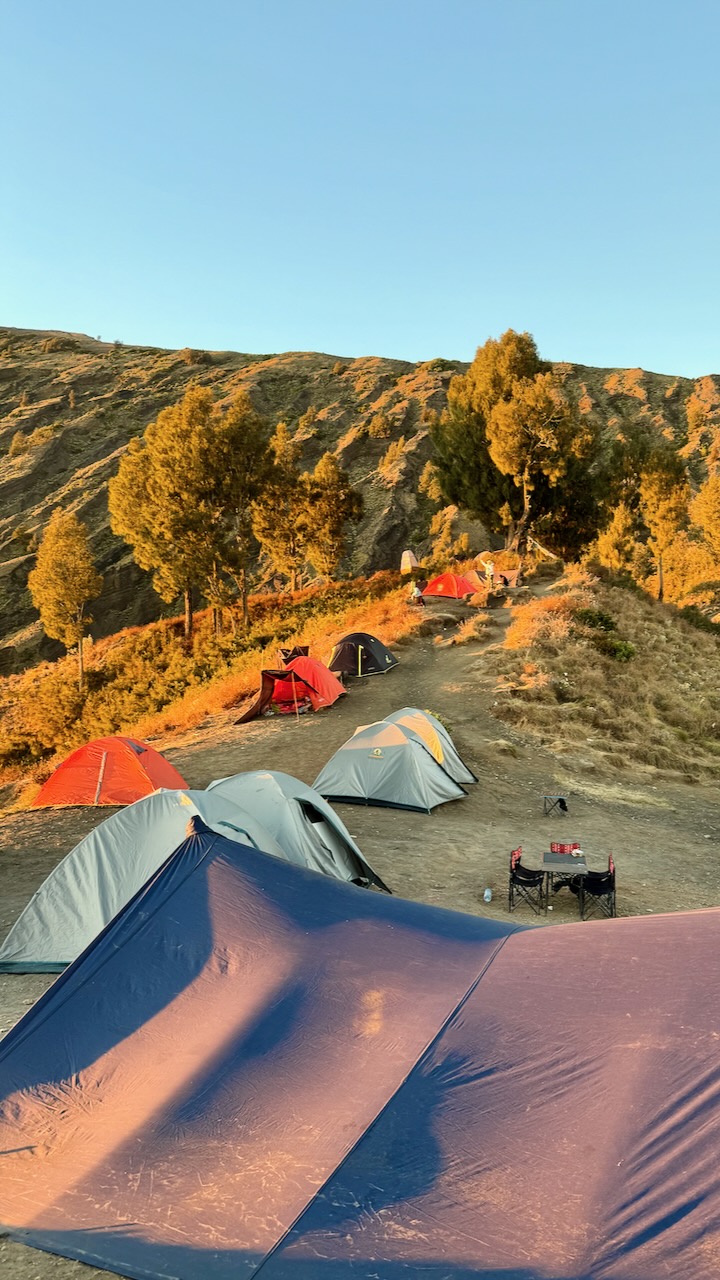
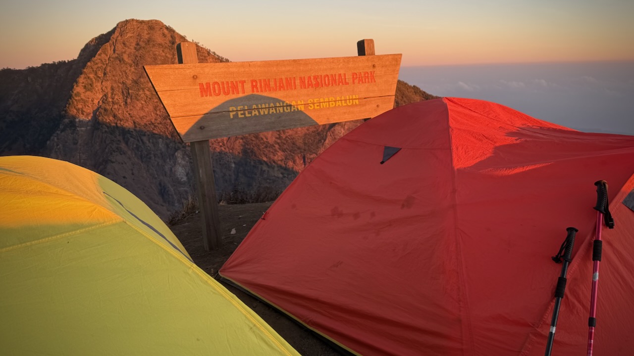
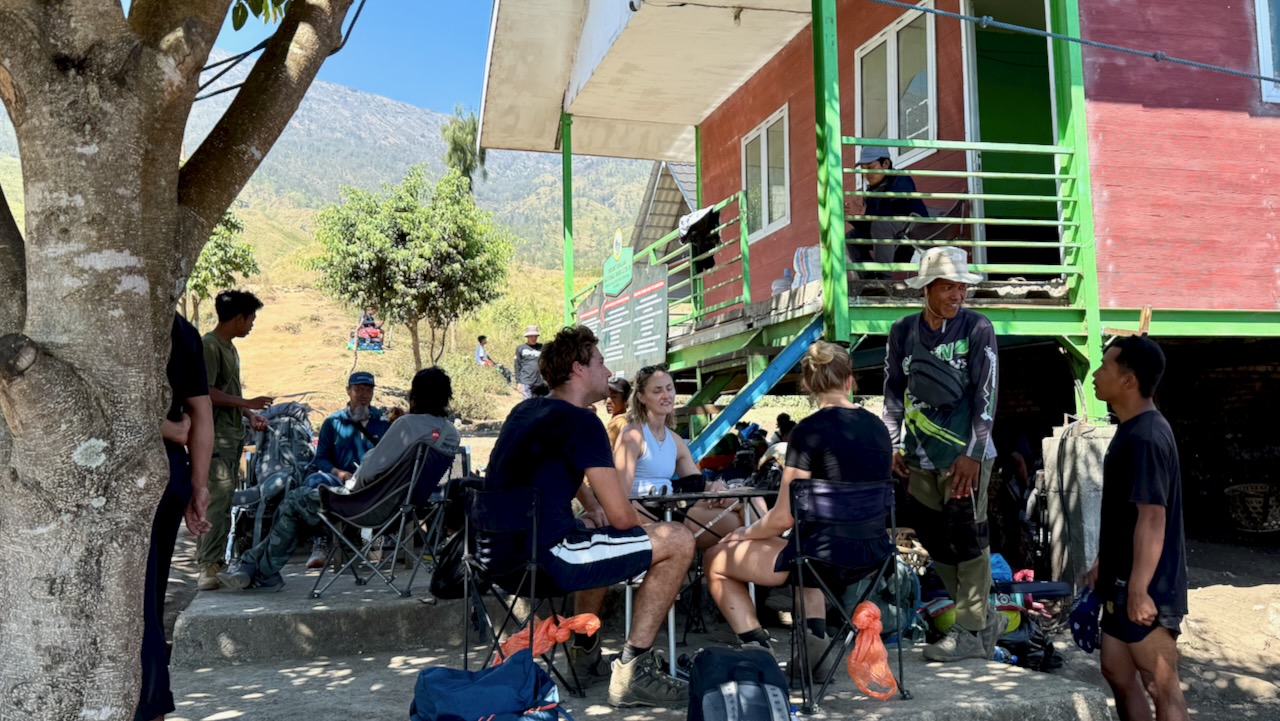
Once on the ridge, we set-up our tents. Had lunch.ย  Then a short lie down until 2pm. ย 

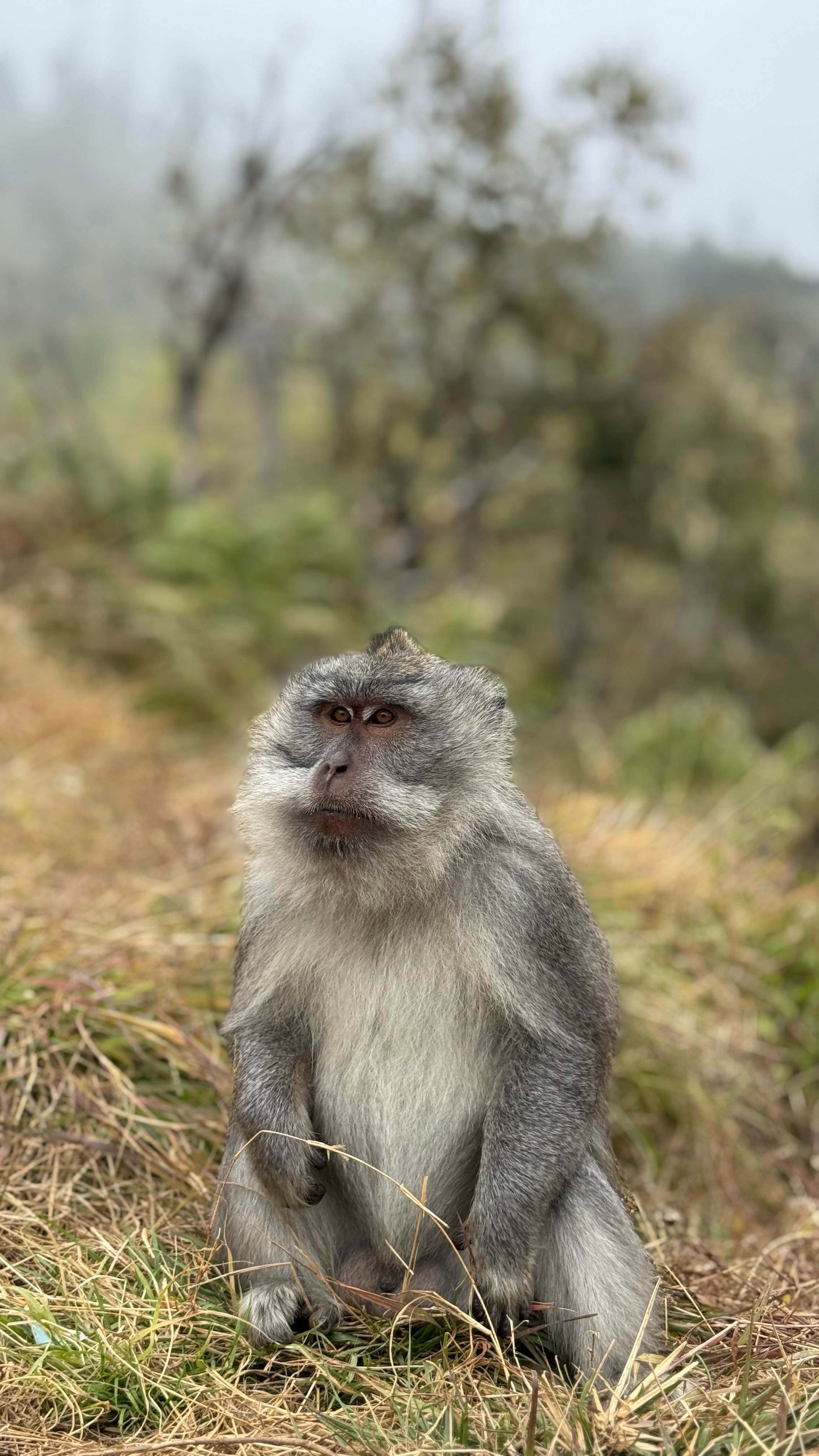
One of these pests actually went inside Mason’s tent while he was there! Cheeky.

Tim’s photo (tim_de_bruijn on Instagram)

Weโ€™d decided as a group to go for sunset today rather than sunrise the following morning.ย  This turned out to be our best decision.ย 

That means weโ€™d climb another 1100m trying to get to the top before the sunset.ย  A deadline.ย 

It looked doable to me. 

BUT it got increasingly slippery and dusty as we ascended.ย 

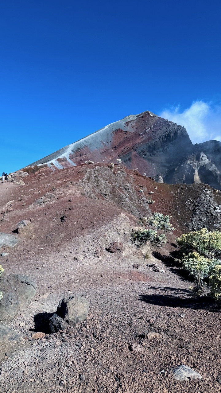
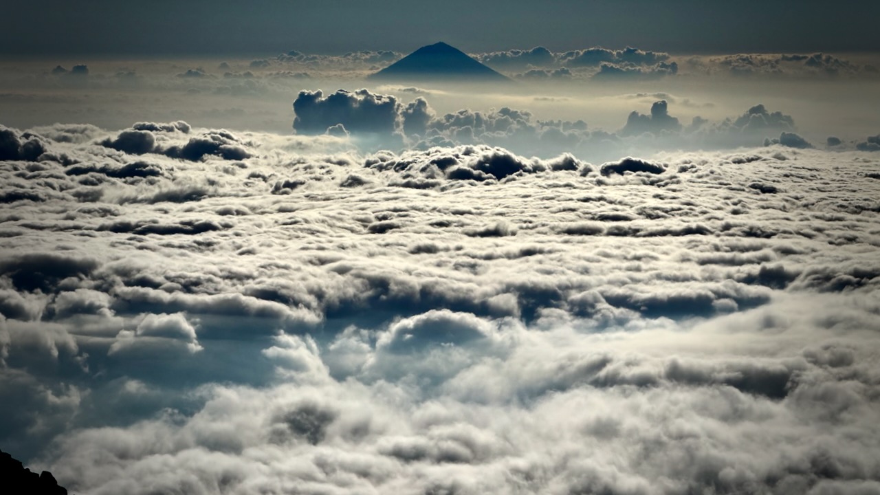
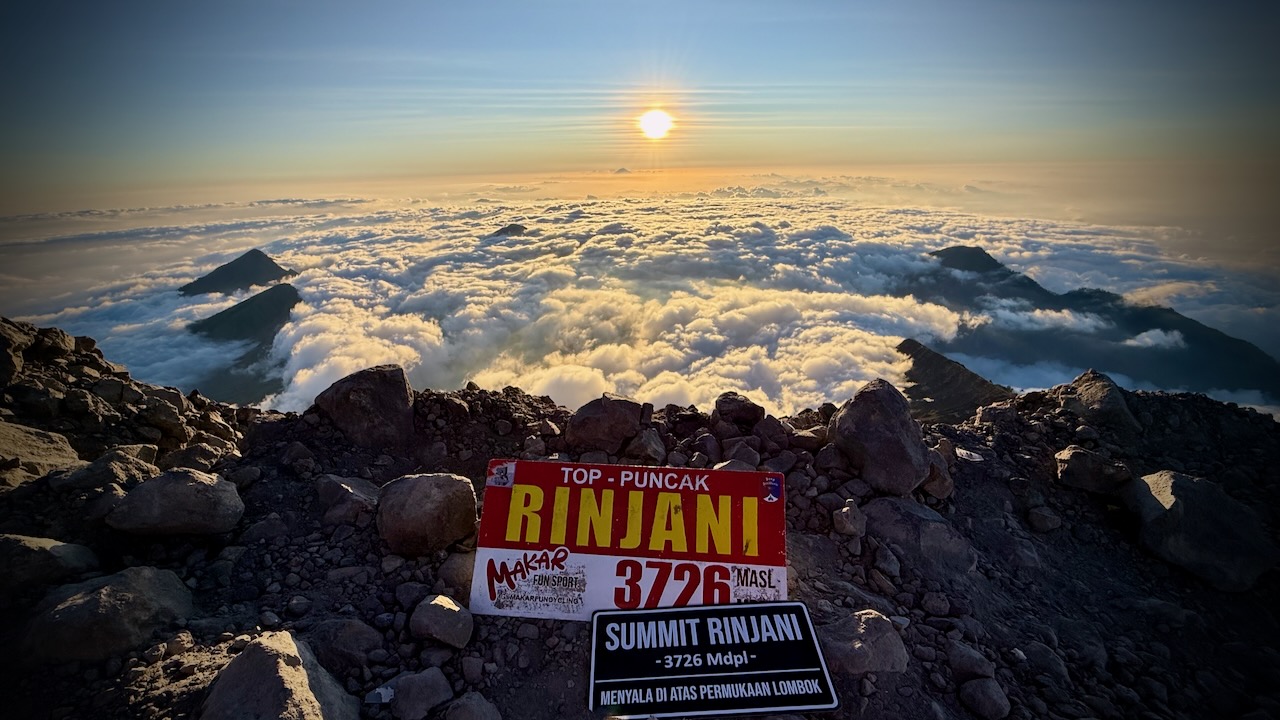
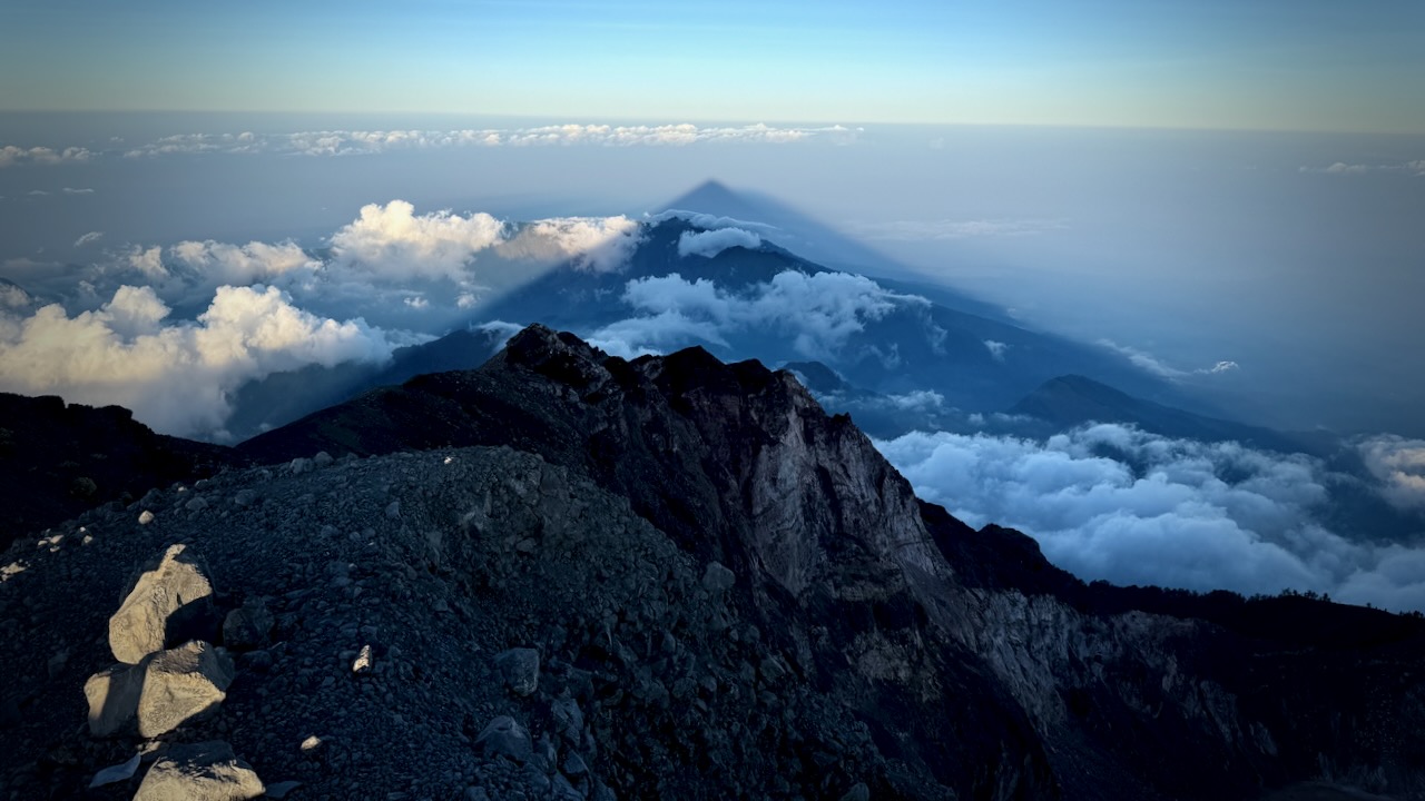
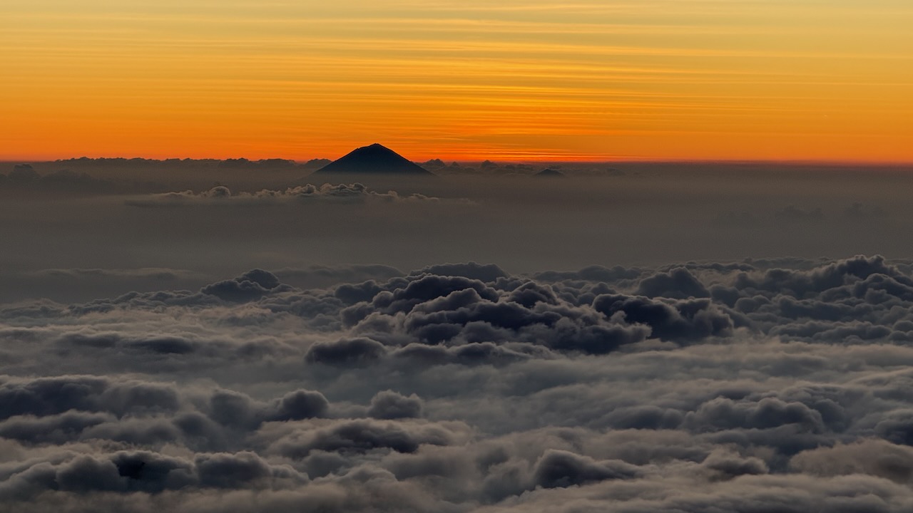
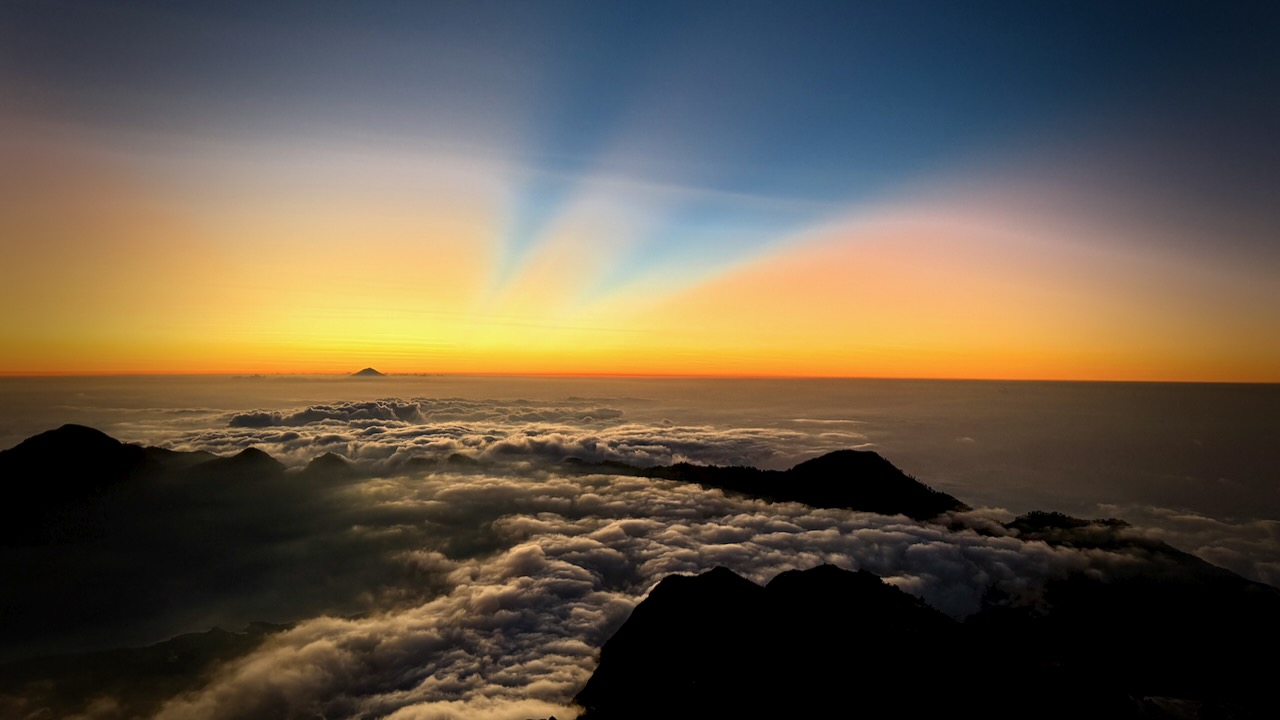
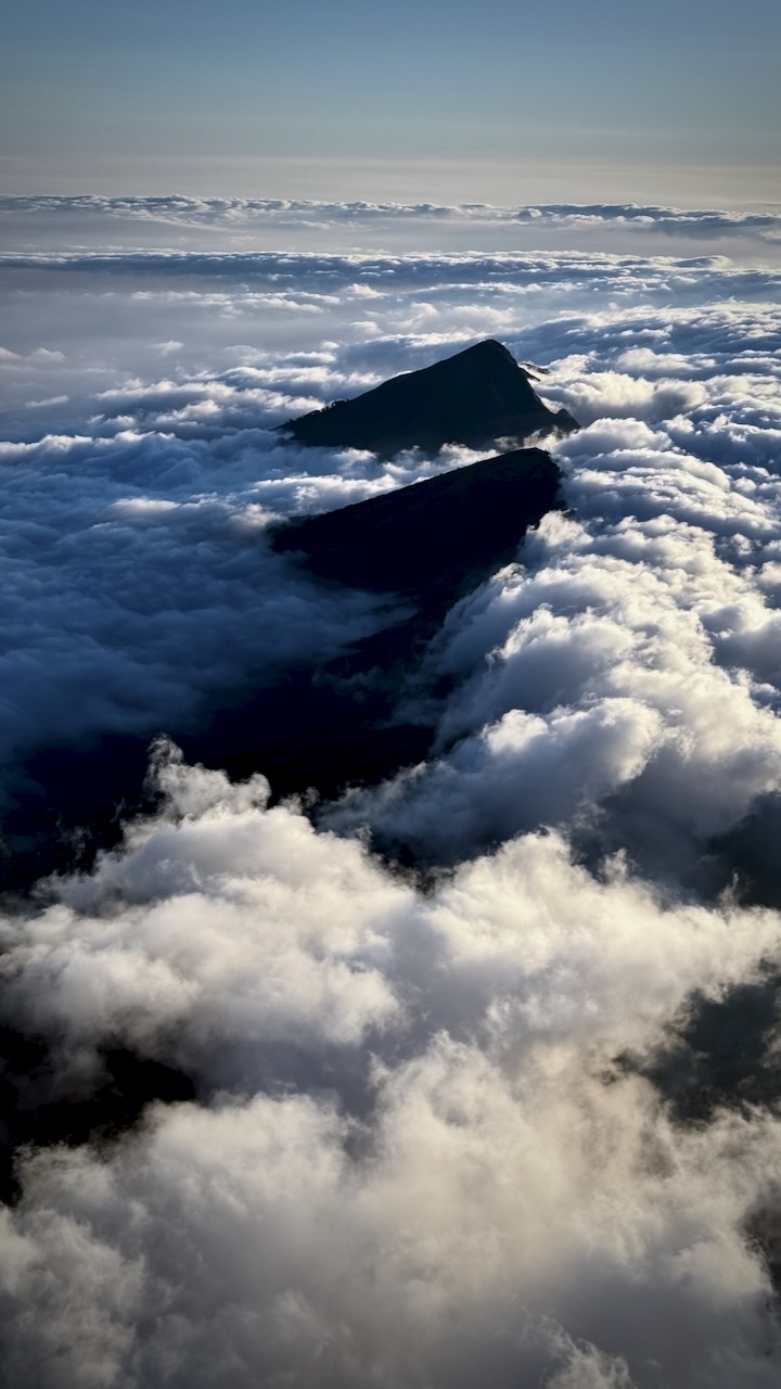
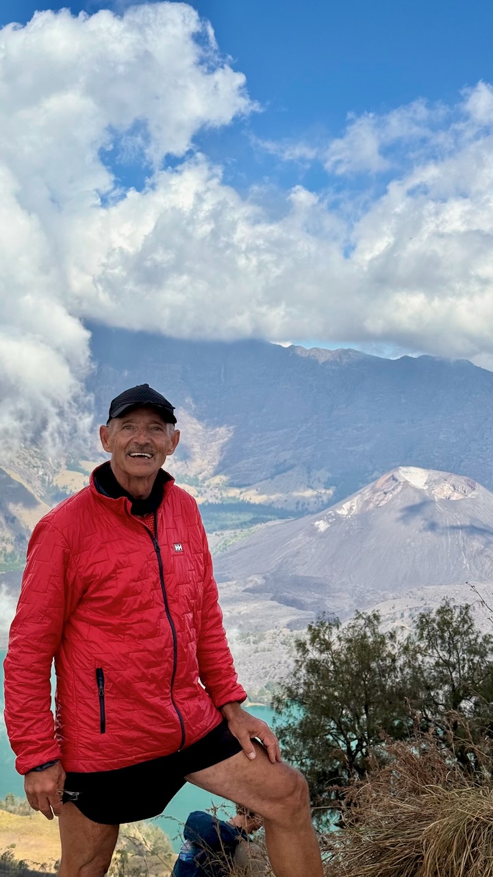
Once above the clouds, we were motivated by the amazing vista.ย 

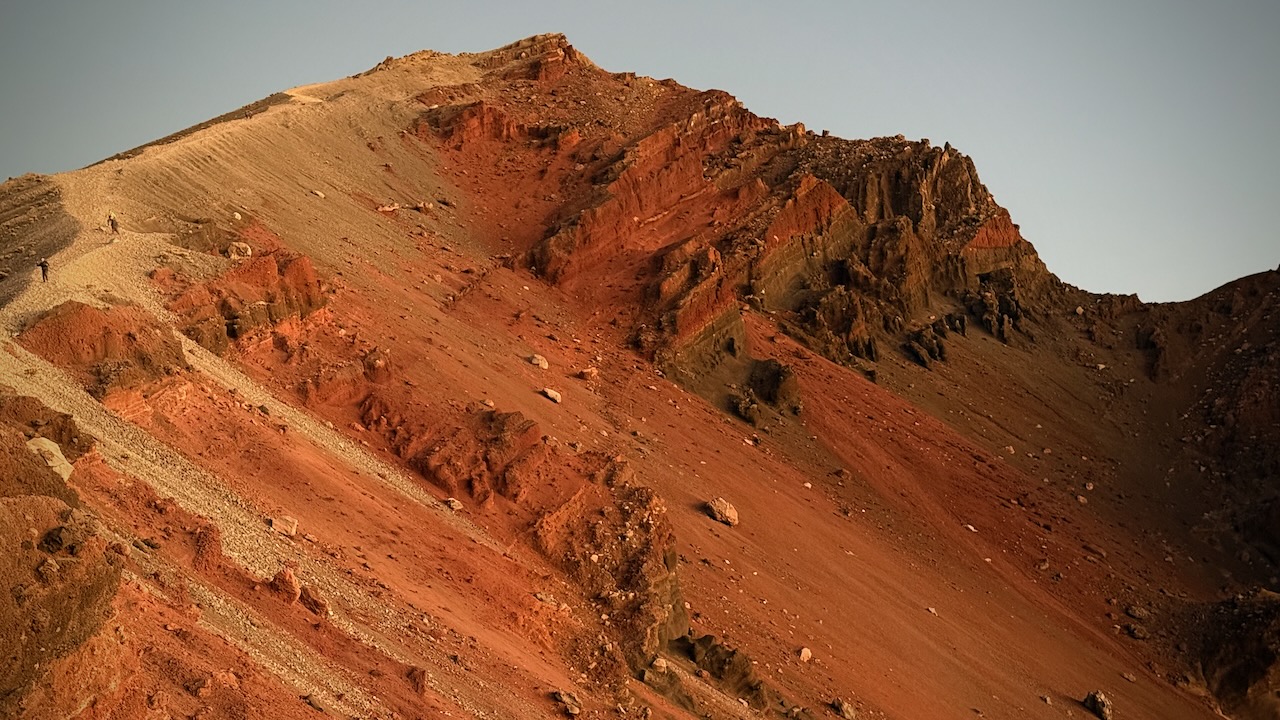
Gorgeous views โ€” though it was dusty plodding in sections.ย 

Very, very slippery โ€”ย we all used systems to keep scrambling slippery scree.ย  I did bouts of 20 steps.ย 

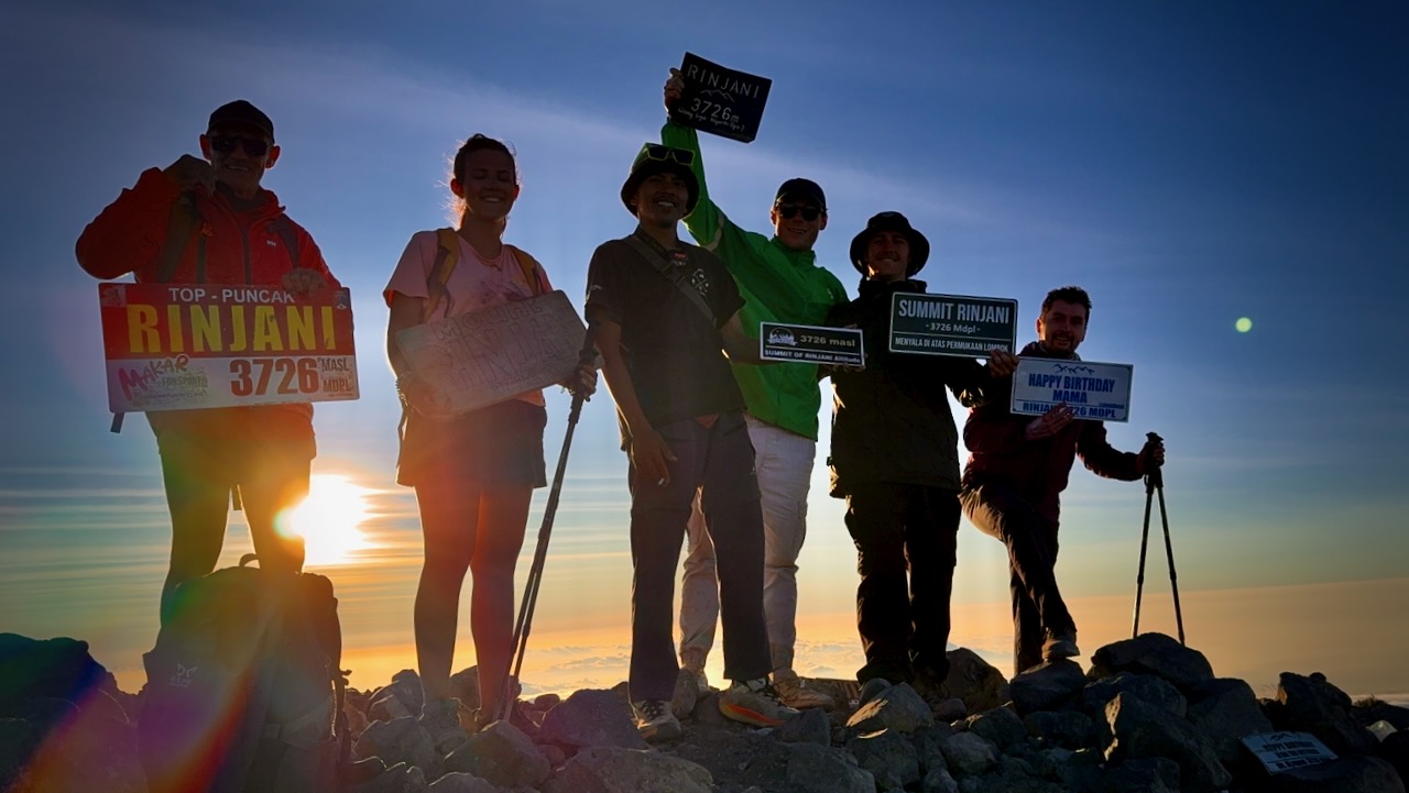
Made it!ย  And well before sunset. ย 

Only 1 other group tried our itinerary.  Perhaps half their group finished, just about sunset. 

In fact, I left the top even before sunset as I wanted some visibility on the scree section at the top before it got dark.  

Descent turned out to be fairly easy.ย  Mostly screeing through the loose dust and rock (scree).

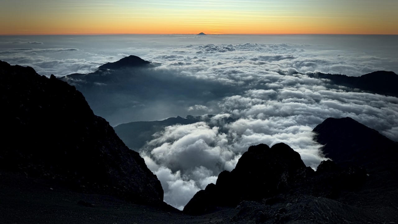
Views on the way down were even better than on the ascent. 

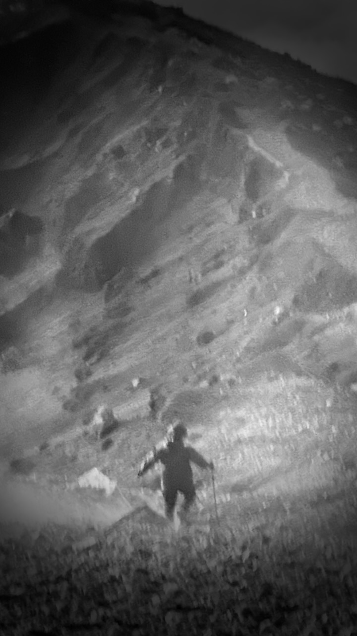
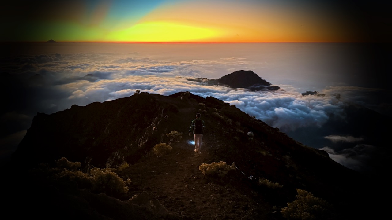
Eventually we had to turn on our headlamps.  I held mine in one hand, finding it easier to direct the beam. 

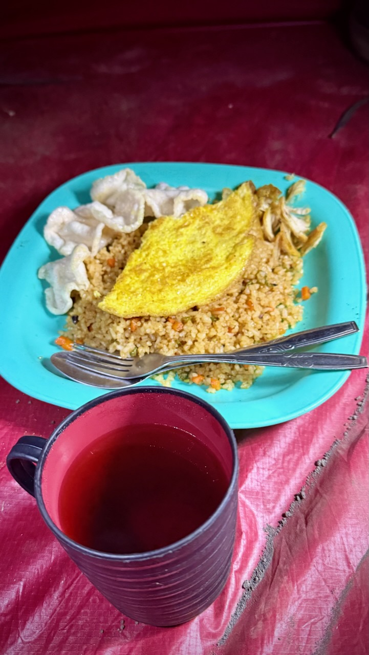
Exhausted, we had dinner in our tents.  And went to sleep early. 

Climbing Rinjani, Indonesia – day 3

Trip report by BestHike editor Rick McCharles

Tim posted the BEST 20 photos from our trip in an Instagram story. Scroll through.


7am UP on our final day.  

I actually carried my own tent on this adventure. Air mattresses in the provided tents were not good. ๐Ÿ˜€

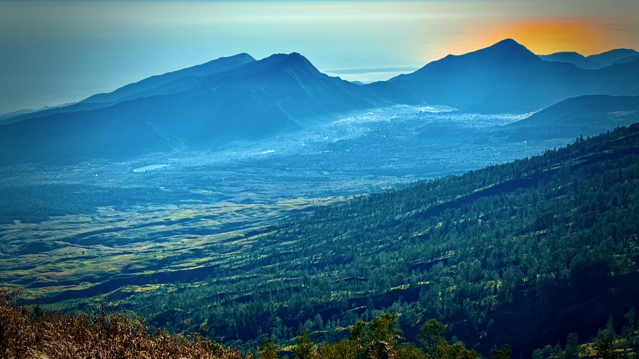
The crater rim vistas really are superb. 

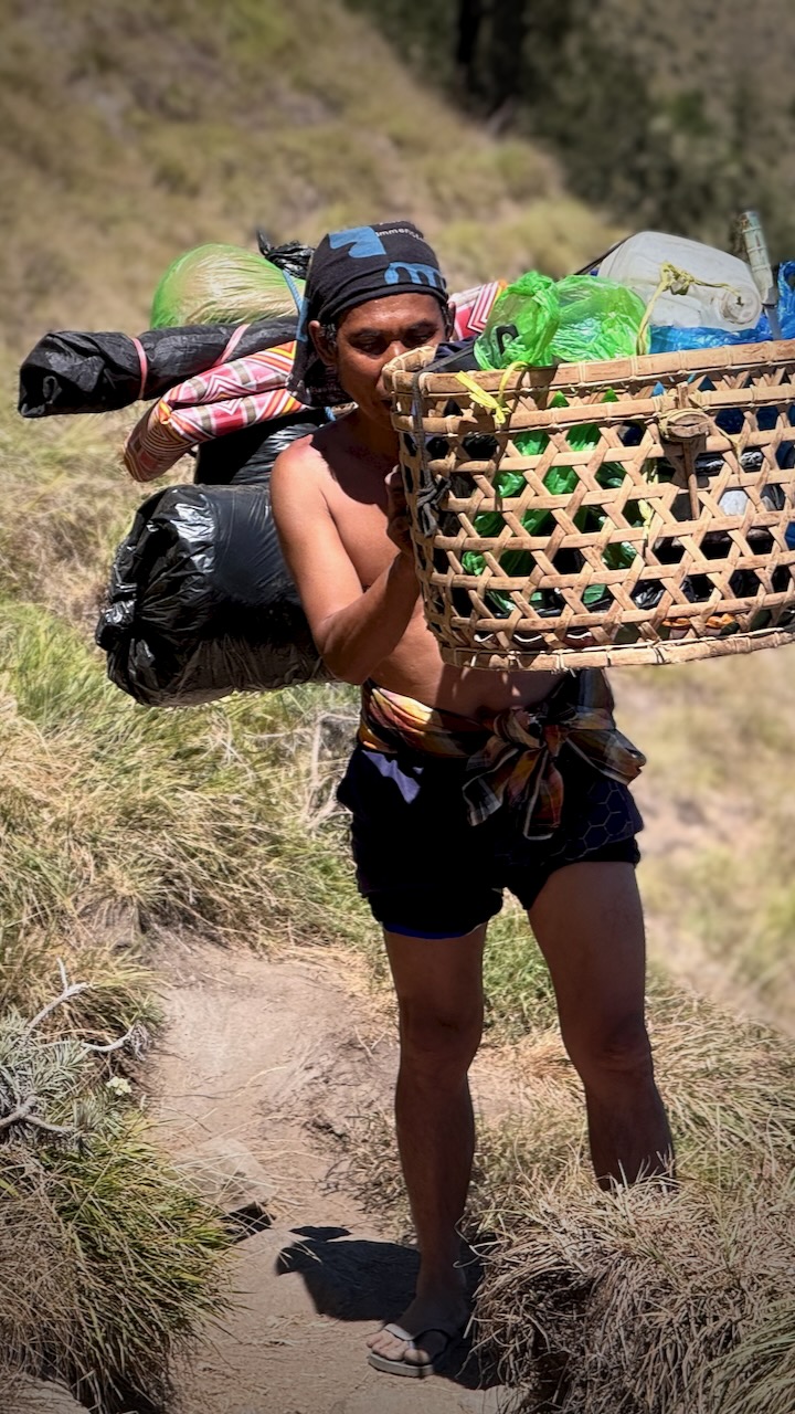
The biggest takeaway from this trip for everyone is being impressed with the porters.  Rather than use the more efficient tump system, they balance these loads on one shoulder while doing big step-ups and step-downs.  

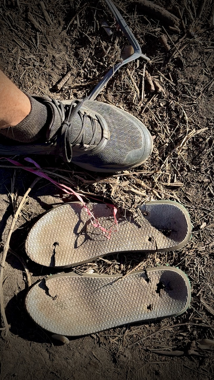
They all wear flipflops.  Until they break. 

We were headed down, back to civilization. 

Somewhat slippery โ€” but overall fairly easy. 

We had lunch in a shady forest, monkeys and cows standing by to gobble down what leftovers they could get. 

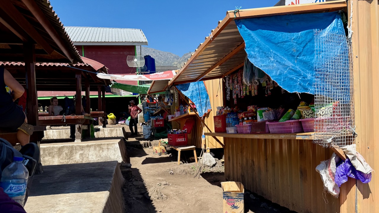
It was a shock to get to the trailhead.  Noisy motor cycles. 

Perhaps 120 people readying to start.  

Those who sign up for 2 days, 1 night begin and end here close to Sembalun village.  They miss the lake and hotsprings.

It took about an hour to drive back from Sembalun to our start at Senaru village.  We returned rented gear and recovered our luggage left in storage

TIPS

  • BEST HIKE is our itinerary (3 days, 2 nights in tent) with an afternoon ascent rather than the crowded, dusty line-up for dawn.  Day 1 is long and hard, however. 
  • WAIT for a good weather forecast, if you can  
  • Green Rinjani looked one of the most professional companies at camp, to me.  Modern tents. Tables and chairs.
  • Grippy and comfortable shoes are the most important piece of gear.  Wear a size larger than normal so your toes arenโ€™t crushed on the descent. 
  • Protection from sun and wind is important.  Sun screen.  I brought a sun hoodie.  
  • Porters provide as much water as you can drink.  
  • I fell about 8 times over the 3 days.  No injuries as I almost always landed on my backpack. 
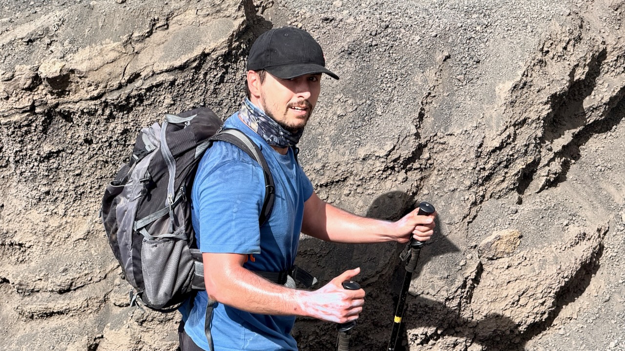
  • I didnโ€™t bring trekking poles.  And that was a mistake.  Our guide gave me one pole for long down climbs.  
  • Itโ€™s badly littered.  
  • Sanitation standards are lowNo water for washing up.  Not even the expected containers of alcohol gel that Iโ€™ve had on similar trips around the developing world. 

I completely enjoyed Rinjani.  It could hardly have gone any better for our group with the afternoon ascent.  

BUT โž™ Bottom line โž™ I canโ€™t recommend this hike.  Itโ€™s simply too dangerous.  

During the July 2018 Lombok earthquake, multiple climbers and guides were killed by landslides triggered on Rinjaniโ€™s slopes. 

March 2007, seven people died of exposure after illegally scaling the volcano during a ban. 

Be sure to have evacuation insurance, just in case.

Youโ€™ve been warned. 

Trip Report

Indonesia – Bromo Volcano at Dawn

Trip report by BestHike editor Rick McCharles

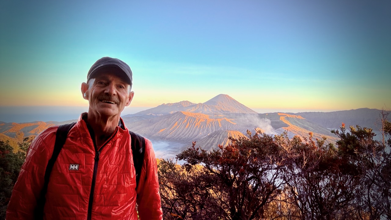
Iโ€™ve long wanted to get to this famous vista.ย  It didnโ€™t disappoint.ย 

Mount Bromo 2,329 meters (7,641ย ft) is an activeย somma volcano andย Hindu pilgrimage site inย East Java,ย Indonesia.

The name Bromo comes from the Javanese pronunciation ofย Brahma, theย Hindu godย of creation.

Click PLAY or watch it on YouTube.

Getting there is a wild ride. ย  Almost everyone signs up for a jeep tour.ย  Only these small Toyota Landcruiser Jeeps are allowed up the mountain.

I departed my hostel in Malang City at 12:45am.ย  It was a scary Mad Max ride over dirt tracks before reaching the viewpoint at 3:15am.ย 

They get you there so early in case of road problems.ย  And jeep breakdowns.ย  It happens.ย 

They also hope youโ€™ll rent warm jackets and blankets.ย  Or buy some souvenirs. ย 

Itโ€™s well worth being there at very first light through dawn, in any case.ย  The volcano vista keeps changing.ย  Every photo a possible postcard.ย 

Here are just a few of the dozens I shot.ย 

Itโ€™s crowded!ย  Everyone scrambling for the best position. ย 

The adventurous bushwhack down the hillside looking for more unique framing.ย 

Iโ€™ll never forget Bromo.ย 

From here the jeep takes you down to the smouldering caldera for a crowded, dusty climb up stairs.ย  I was disappointed with this and the sea of sand beneath.ย  There are many better volcanoes to climb in Indonesia.


DETAILS

Of a number of 1, 2, or 3 day options, I ended up doing the most popular โž™ Bromo Sunrise Tour. Very inexpensive at CAD $50 which includes entry fees.

Itinerary:

  • 00:30: Prepare for pick-up from Malang hostel by 4ร—4 Jeep
  • 01:00: Journey to Penanjakan (sunrise viewpoint by jeep).
  • 03:30: Arrive at the viewpoint and wait for sunrise
  • 05:00: Witness the magical sunrise from Penanjakan.
  • 06:30: Drive down to the Bromo crater area.
  • 07:00: Free time exploring the Bromo Crater.
  • 08:30: Visit the Sand Sea area and the Savanna.
  • 09:00: Begin the journey back to Malang.
  • 11:30: Approximate arrival back at the hostel.

Northover Ridge Loop Trail, Canadian Rockies

Trip report by BestHike editor Rick McCharles

This is the cool Canadian Rockies hike these days. BUT it’s more of a route than a trail.

As evidence, I bumped into two of the top hiking YouTubers below the ridge โ€” Eric Hanson and Justin Outdoors. We were heading opposite directions. Surprised and excited, I got a bit tongue twisted while chatting with them.

Slightly dangerous, Northover is not promoted by the Parks people.

I followed the route on AllTrails offline. No navigation problems.

My first tip is to WAIT for good weather. You don’t want to be on this narrow ridge in high wind and poor visibility.

Northover Ridge Loop Trail is 34km, 2290m in elevation gain. Most people do it in 2 or 3 days.

Foolishly, I did it in a day and a half. ๐Ÿ˜€

On the drive up to the trailhead in Peter Lougheed Provincial Park, I had a good look at momma bear and 2 young ones. I saw another juvenile bear on the drive out. None on the trail.

I booked at Aster Lake Campground before driving up. By doing this I’d decided to hike it clockwise looking down at the map. But you can do the loop in either direction.

Peter Lougheed Provincial Park NOW requires a Conservation Pass if you have a vehicle. In 2025:

  • Daily Pass: $15 per vehicle
  • Yearly Pass: $90 per vehicle

My campsite pass was checked by Rangers. They do a great job here.

Click PLAY or watch my Northover on YouTube.

A great adventure. I highly recommend Northover IF you have good weather.

Here’s how the same 2 days went for Eric Hanson and Justin Outdoors. Click PLAY or watch it on YouTube.

Related – trip report by HikeBikeTravel

Saysutshun (Newcastle Island), Vancouver Island

Trip report by BestHike editor Rick McCharles

Saysutshun (Newcastle Island Marine) Park is a family friendly adventure, accessible only by foot passenger ferry or your own boat from NanaimoBritish Columbia, Canada.

I put my bike on an intercity bus. Then rode the fantastic Nanaimo bike trails to get to the ferry.

It’s a quick, scenic trip over to Saysutshun.

Many simply kayak over to the island. It’s quite protected and safe.

I believe it’s obligatory ๐Ÿ˜€ to take a photo at the first totem pole.

There are a number of trails to explore on foot and (some) on bike. I did both.

Most day trippers spend about 2 hours walking the trails.

With frequent stops for photos.

Surprisingly, coal was mined here 1853 – 1882. Hence the name, Newcastle.

The rocky shelf is perfect for exploration.

Most fun for me was exploring some of the boat wrecks at low tide.

As you can see ๐Ÿ˜€, I pushed this one boat back into the ocean.

Here’s the one I might want to salvage. ๐Ÿ˜€

Click PLAY or watch it on YouTube.

You are almost certain to see some of the Nanaimo ferries.

Sandstone quarrying began on Newcastle Island 1869. There is plenty of evidence of that stonework, even today.

Happily, you can still see some huge old growth trees.

I saw many deer. A few rabbits. None of the worrisome racoons.

For the first time at Saysutshun, I camped one night.

18 walk-in campsites are located in a quiet forested area a mere 5-minute walk from the docks.

Five group campsites are also available that can accommodate up to 50 guests.

Potable water is available along with flush and pit toilets, hot showers, and food lockers to protect your rations from local raccoons!

With no cars allowed on the island, the quiet is serene, with nothing but the sound of the ocean, birds and wind in the trees. And with no bears or cougars on the island, there is little worry of any alarming wildlife encounters.

Sites are available on a first-come first-served basis, but reservations are highly recommended.

Reservations can be made through the BC Parks online reservation system.

It took 3 tries and 2 different email addresses to get my campsite booked. Also, you have to book at least 48 hours in advance.

The campsites weren’t full in early June. But group sites were packed with school kids. Having fun.

I enjoyed most cycling and hiking after the last ferry returned to Nanaimo. It’s very peaceful.

I highly recommend you visit Saysutshun (Newcastle Island Marine) Park if you get to Nanaimo.

Hiking Lake Sรธrvรกgsvatn, Faroe Islands

Trip report by BestHike editor Rick McCharles

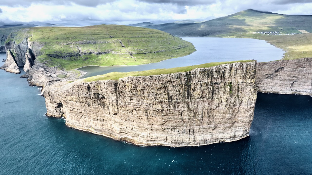
Almost every tourist to the Faroe Islands goes to see the lake hanging over the ocean. Unique and spectacular.

Sรธrvรกgsvatn is the largest lake in the Faroe Islands

… surface is about 40 m (130 ft) above the level of the sea.

It is surrounded by a higher cliff which prevents it from emptying fully into the ocean, the waterfall Bรธsdalafossur being the outlet.

The greater height of the cliffs on either side of Bรธsdalafossur can give the illusion from certain perspectives that the lake is higher above sea level than it is.

The waterfall vista is great. But personally I liked even better walking the Trรฆlanรญpan cliff โ€”ย aka the โ€˜Slave Cliffโ€™. Supposedly where slaves were pushed to their deaths.

There are many, many birds nesting on those vertical sides.

Click PLAY or watch it on YouTube.

In 2024 the hiking fee was 450 kr (USD $42) / adult (ages 15+) for a guided walk. 200 kr (USD $20) / adult (ages 15+) to hike on your own, as I did.

Price is $teep. And has been going up in recent years. Know that there are other great cliff walks free in the Faroe Islands. ๐Ÿ˜€

official website – tralanipan.fo

related – Moon and Honey – Lake Sรธrvรกgsvatn (Floating Lake above the Ocean) and the Trรฆlanรญpa Hike, Faroe Islands

Moon and Honey – entrance

Amazing Stuรฐlagil Canyon, Iceland

Trip report by BestHike editor Rick McCharles

When the construction of Kรกrahnjรบkar Hydro Dam was finished 2009, Stuรฐlagil (Studlagil) Canyon became fully visible.

The water level in the river Jรถkla, that runs through the canyon, dropped and amazing basalt columns have since become one of the most popular tourist attractions in eastern Iceland.

Click PLAY or get a glimpse on YouTube.

The landowners were still building tourist infrastructure in 2024.

I stayed at the simple campground on the northern side of the river.

A German couple โ€” world travellers โ€” in a camper van, offered me lamb dinner with locally picked mushrooms. And wine! It was my best meal in Iceland. ๐Ÿ˜€

Once the tourists were gone in the evening, I climbed down a long set of stairs to have the northern viewing platform all to myself.

Next morning, I cycled over to the southern side of the river. It’s the better experience. Go to both sides, if you can.

Stuรฐlagil (Studlagil) is a canyon in the Eastern Region of Iceland.

It is known for its unusual amount of large columnar basalt rock formations and the turquoise coloured river that runs through it.

The canyon also has an interesting story as it became an unexpected tourist sensation in 2016 after Einar Pรกll Svavarsson published an article in August of that year on hiticeland.com with spectacular photos.

A year later Einar also wrote an article about Stuรฐlagil in WOW air magazine in June 2017 and after that the canyon became a popular tourist destination.

It’s an easy detour off the Highway 1 Ring Road. About a 19km/11.8mi sidetrip along road 923. Mostly paved in 2024.

related – All you need to know before visiting Stuรฐlagil Canyon

official website – studlagil.is