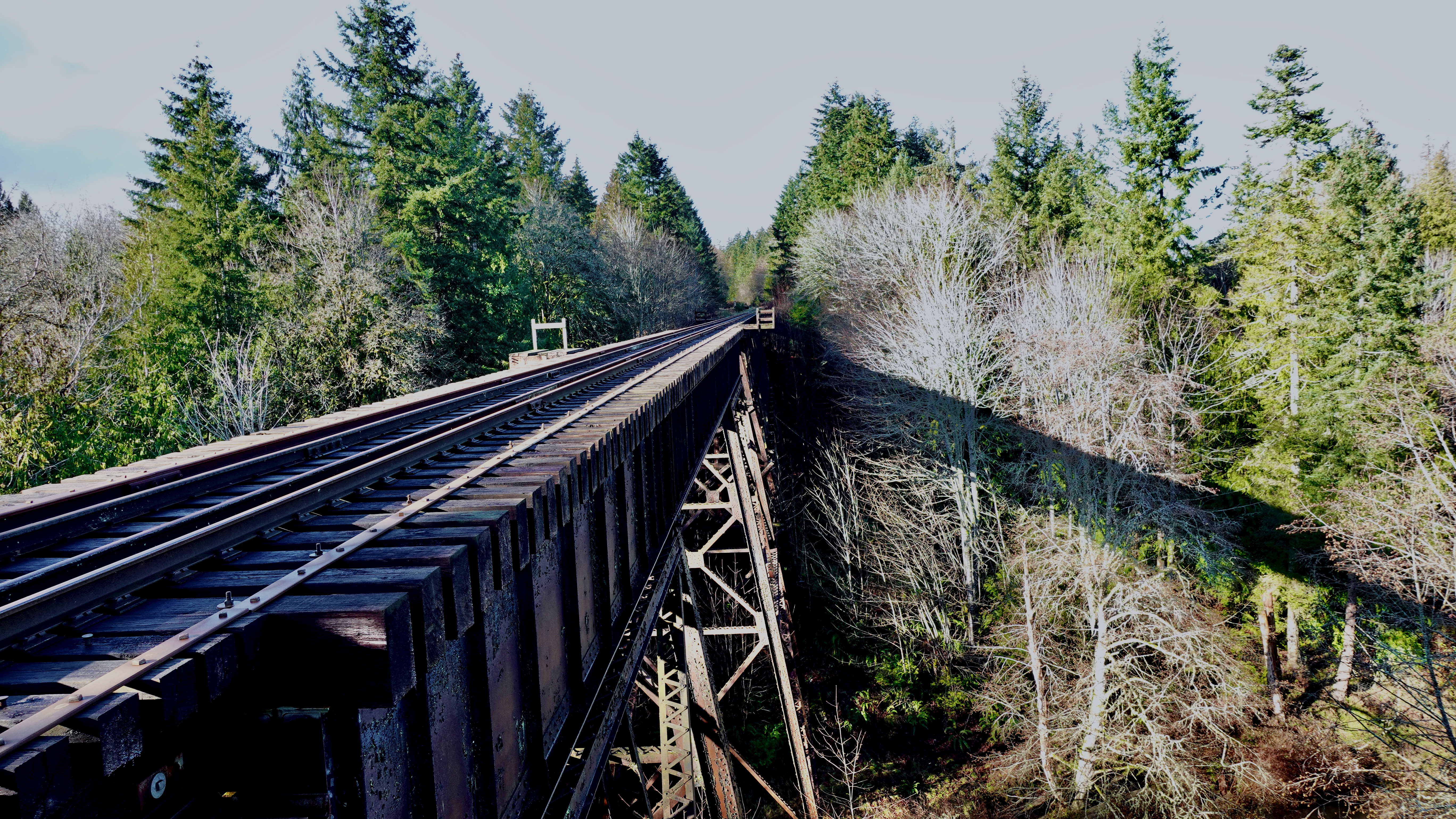
Very popular on Vancouver Island is walking alongside the disused (in 2011) Southern Railway. It’s dry. It’s flat. It’s straight. Often the shortest distance between two points.
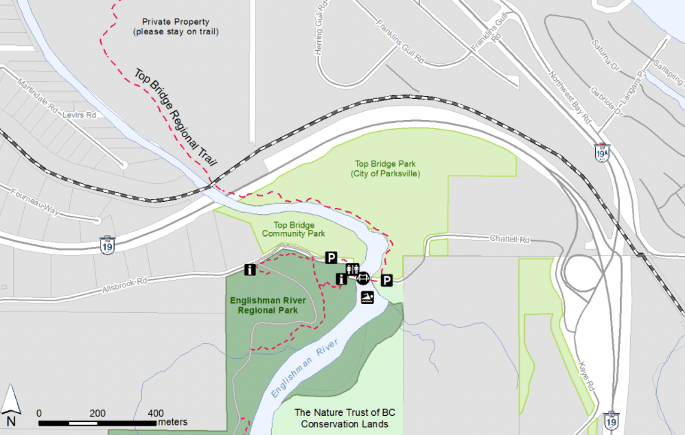
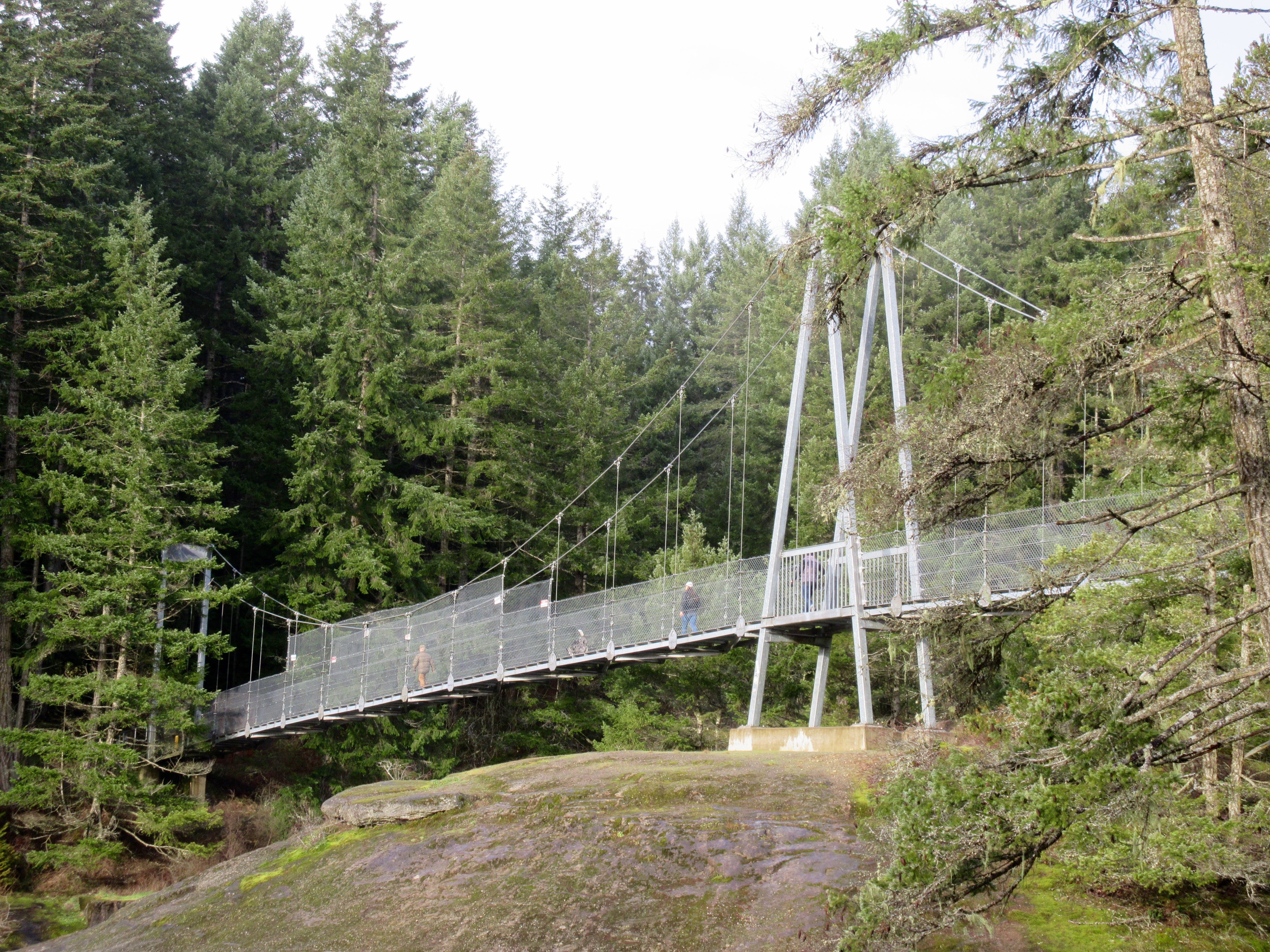
Click PLAY or get a glimpse on YouTube. 30km between Nile Creek and Englishman River including 3 high trestles.
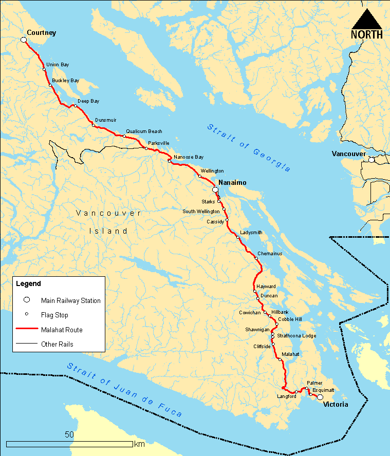
The British Columbia government now calls it the Island Rail Corridor. Approximately 289 km Victoria – Courtenay with connections between Parksville and Port Alberni and to the Nanaimo waterfront.
Though there’s still talk of restoring rail service, co$t looks prohibitive. Hikers want more of the corridor to be converted to non-motorized trail.
Of greatest concern are the 48 bridges and trestles that need ongoing repair.
With no maintenance, sections can be slippery. Overgrown.
These rail lines are old. Dating back to the 1800s.
At various times it’s been called the Esquimalt and Nanaimo Railway, E & N Railfreight and E&N Railway Co.
Wikipedia has a list of rail trails around the world. British Columbia has some of the best.