A survey of more than 700 John Muir Trail thru-hikers gave researchers insight into what makes a hiker more likely to get injured or ill while backpacking. …
First off, the (2018) study didn’t find sex to be a determinant of getting hurt or sick on the trail.
Here are the factors correlating with injury:
- younger age
- higher BMI (body mass index)
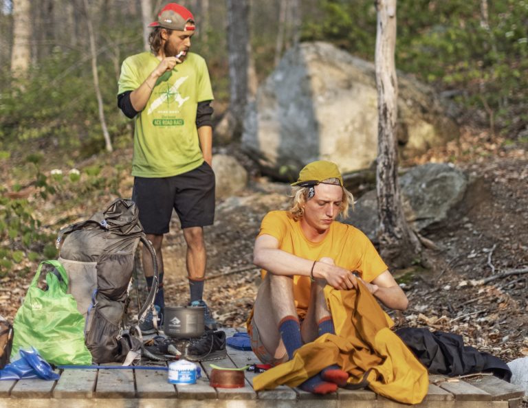
- higher BPW (base pack weight)
Surprisingly, older hikers reported fewer adverse events on the JMT.
… Often abbreviated as BMI, body mass index is a measure of the size of the human body, calculated by dividing a person’s weight in kilograms dividing by the square of their height in meters. …
The study’s authors found that base pack weight correlated with an increased risk of illness and injury; the heavier the pack, the greater the likelihood of morbidity.
This Study Predicts Who Is Most Likely to Get Hurt in the Wilderness
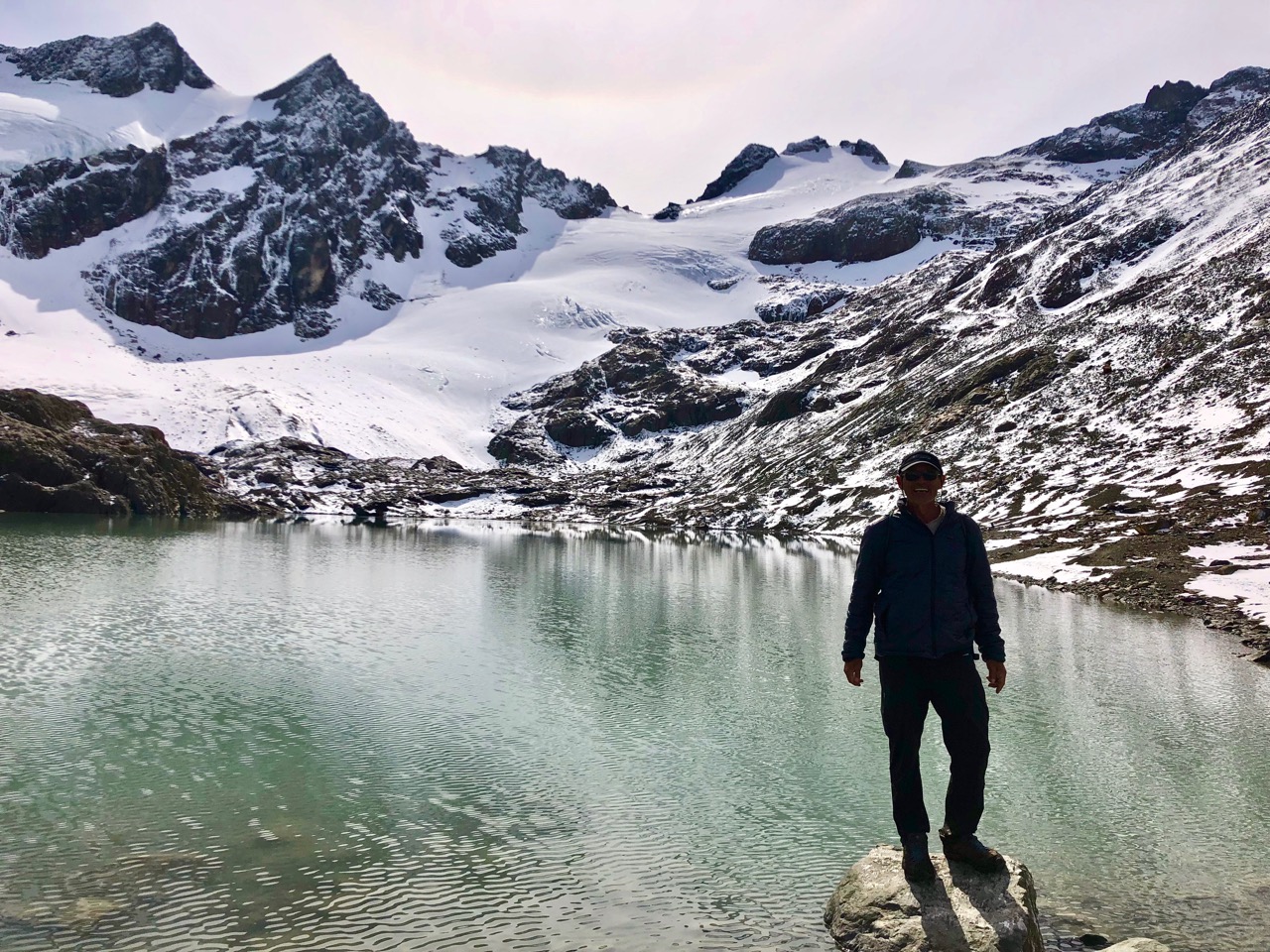
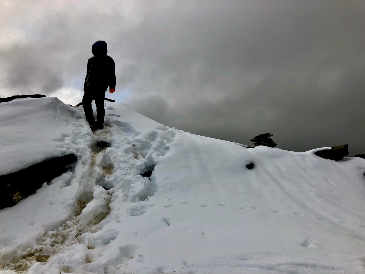
I hiked the John Muir Trail myself in 2021 at age-63. And found myself ‘healthiest’ on finishing after 19 days. I got in ‘shape’ by hiking.