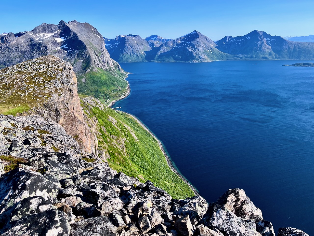
The 1-hour drive (from downtown Tromso) out to where the Brosmetind walking path starts is fantastic too.
… valleys with tall peaky mountains that go straight into the sea.
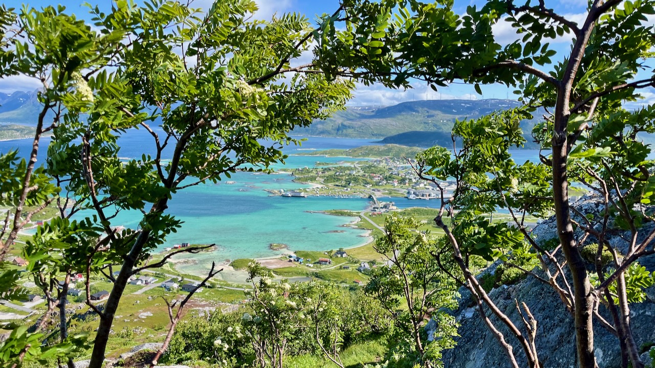
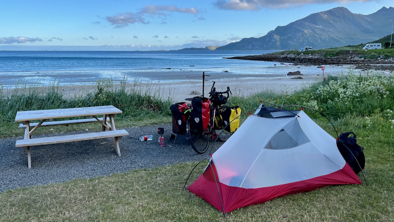
One of these fjords is Grotfjord. You should make a stop in Grotfjord and walk along the huge white-sandy beach.
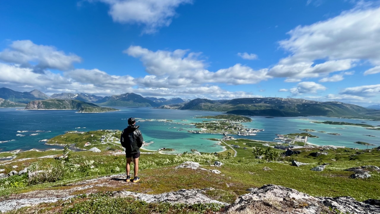
You will have an awesome panoramic view from the start to finish. So if you don’t have to go all the way to the top to get a great view. You can turn around whenever you want …
Height: 525 meters above sea level
Distance to walk: 4 km both ways
Time: 1-2 hours (round-trip)
How to get there by bus: Take the district bus no. 425 to Tromvik or Rekvik, and walk from there to the starting point of the hiking path to Brosmetinden. Tell the driver that you want to hike Brosmetinden and he will let you off at the right place.
You can purchase tickets on board the bus, but cash payments only, or you can buy a ticket through the app “Troms Billett”. You can check the bus schedule HERE (search the Travel Planner from “Tromsø Prostneset” to “Rekvikvegen (Tromsø)” or through the app “Troms Reise”.
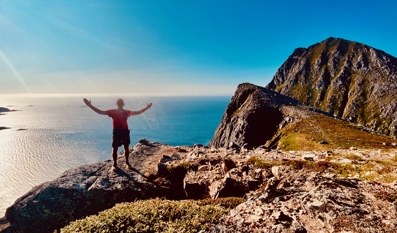
I hiked on Canada Day – July 1st. Wore my CANADA clothing. 🇨🇦
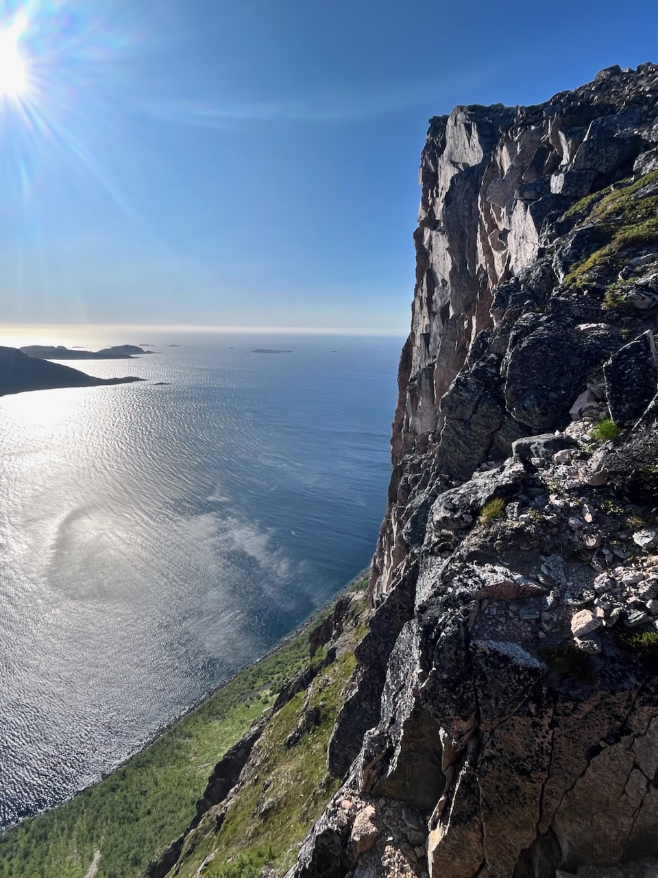
Weather was sunny — but super windy. Too windy to fly the drone. But it was nice to have enough wind to blow away the mosquitoes and horseflies.
It’s a quick hike to reach the sea cliffs. And a scenic scramble up to the top.
I camped at Grotfjord beach, on Maria’s recommendation.
An excellent short day hike — but quite a detour off the usual tourist route.
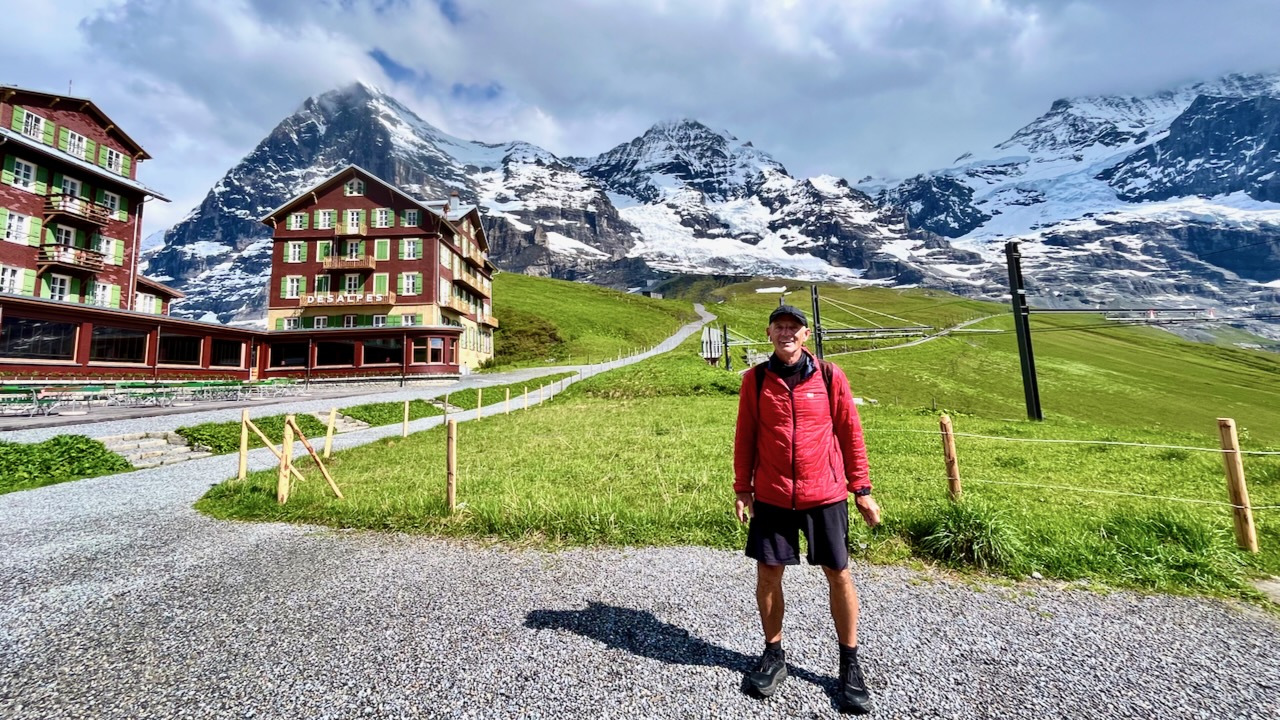
I got the chance to return in 2023. Booked 3 nights in Interlaken, Switzerland — hoping for good weather.
Weather report was good, not great. If rain or lightning looked likely, I would either descend on a side trail or backtrack to the start.
Happily, weather was mixed all day. No rain. No slippery trails. People have died hiking Harder Ridge. There’s not much exposure, but I could see it happening at a few spots. Especially in snow, ice, or mud.
dangerous
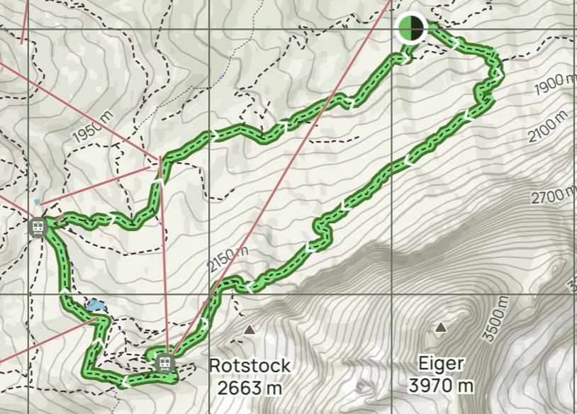
I took 10 hours on both my days.
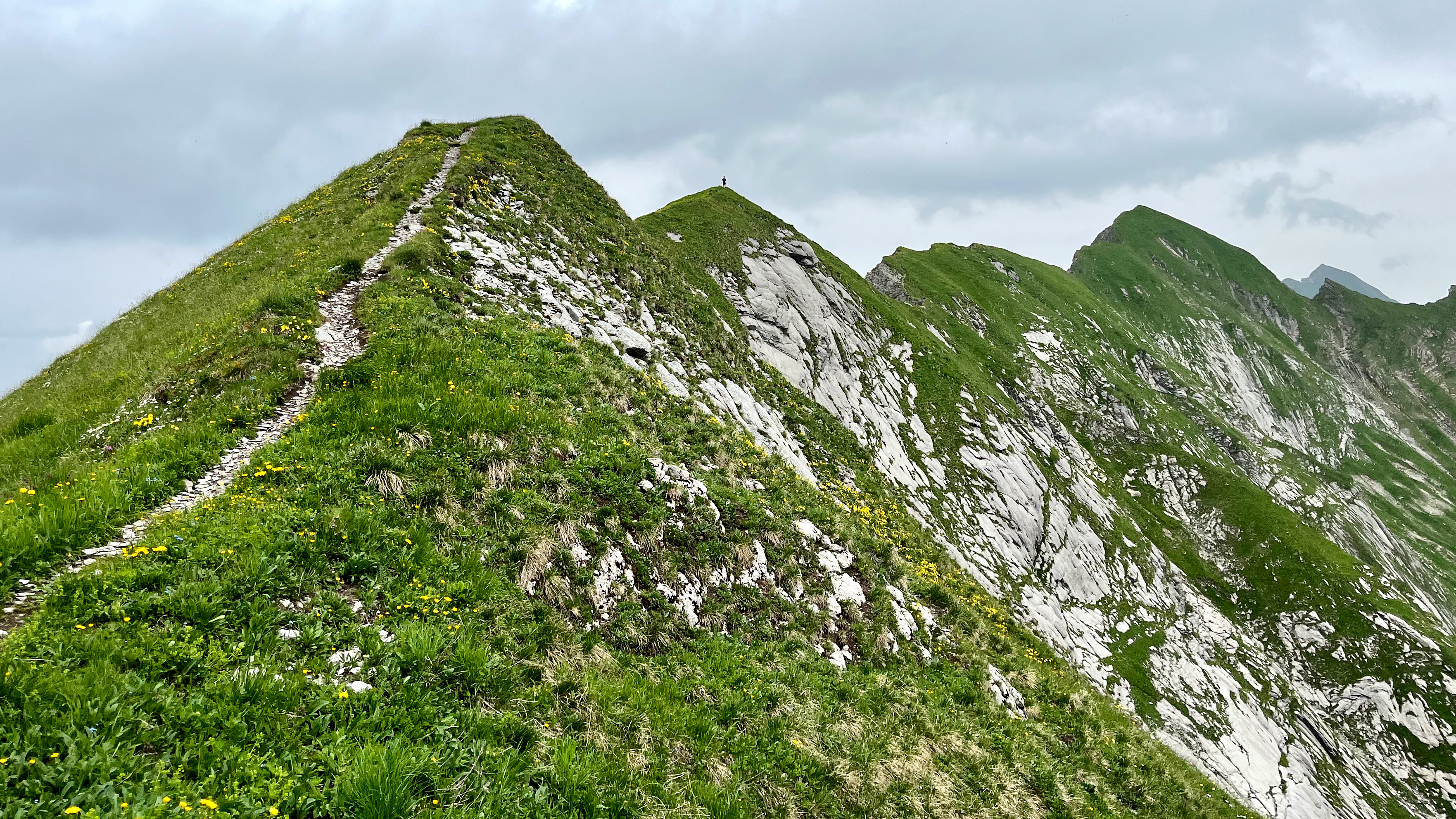
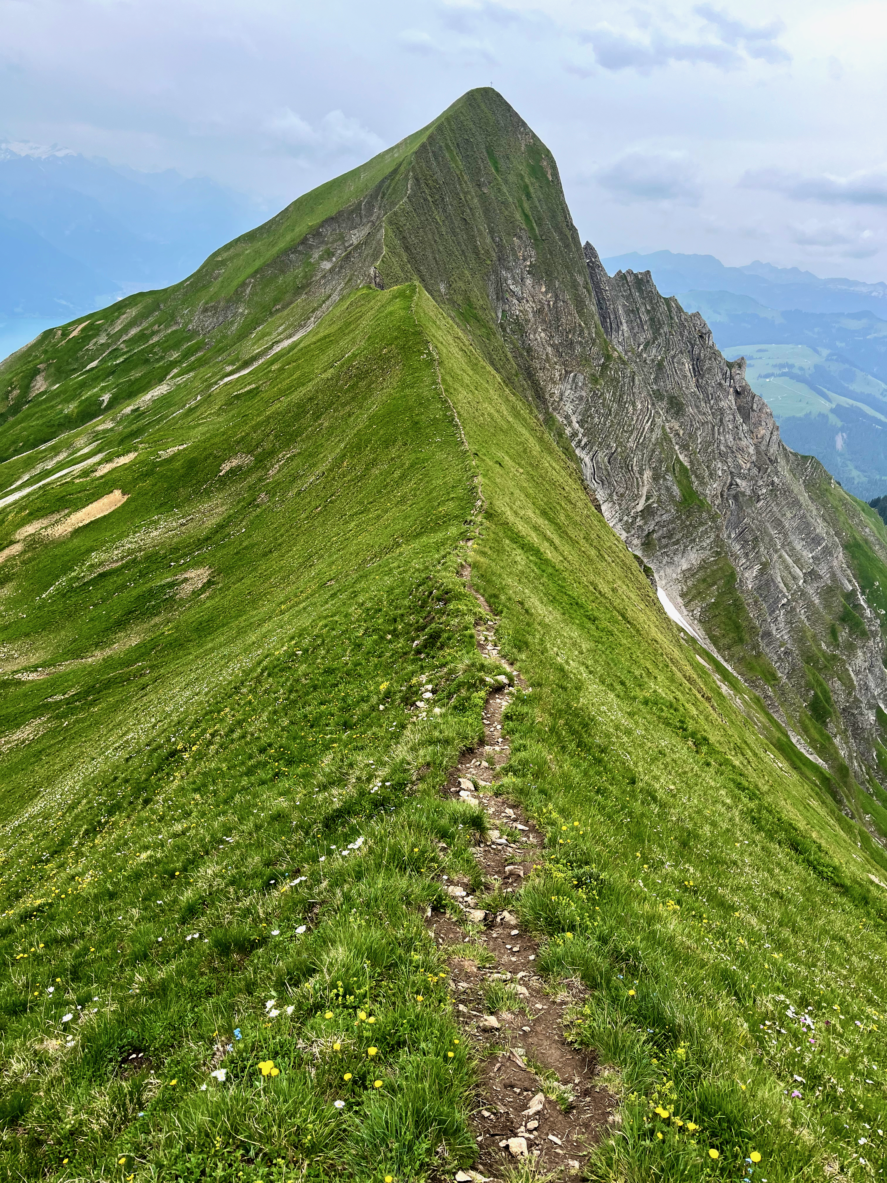
at least 18km on sharply defined ridge
should absolutely never be attempted when wet
some scrambling required
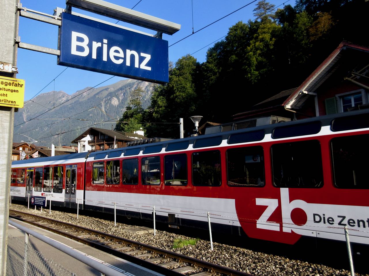
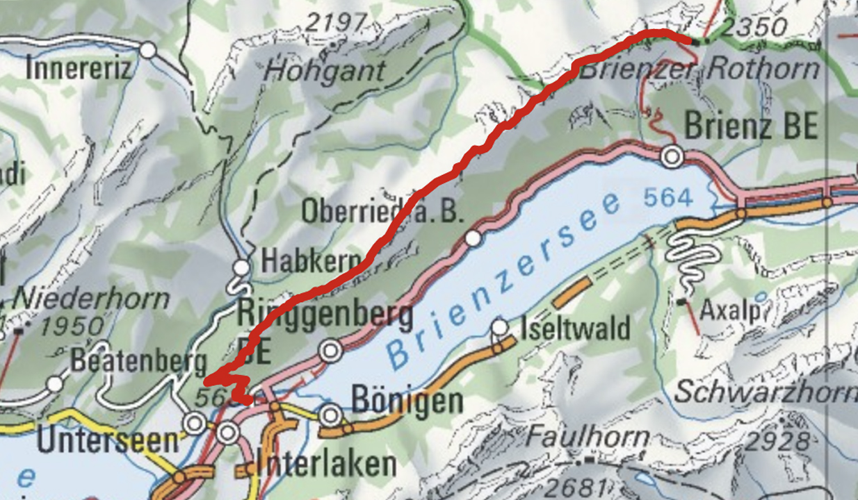
Brienz to Interlaken with motorized assistance getting up to and descending from the ridge
Don’t hike the other direction. Logistics are easier starting in Brienz. And it’s safer as the last 2 hours (when your legs are tired) is on easier trails.
Every half hour a train runs from Interlaken to Brienz.
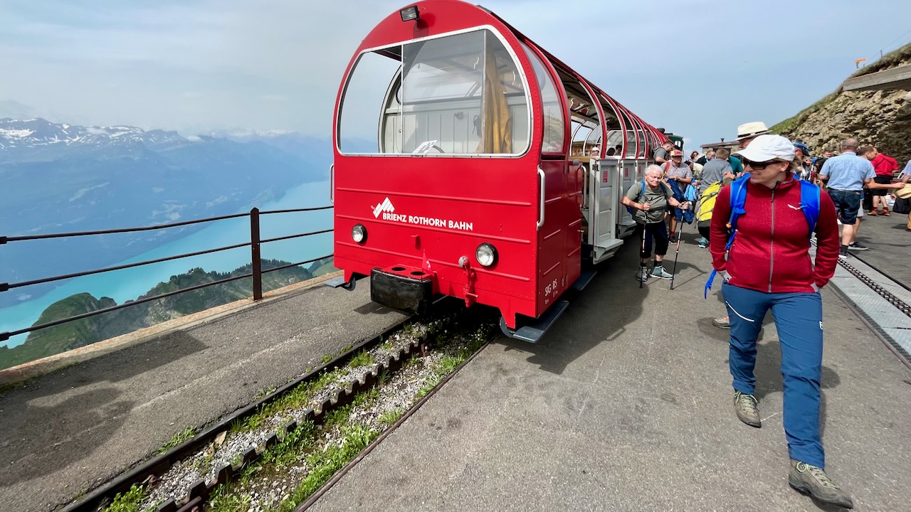
Across the street from the train station is the historic steam train from Brienz to Brienzer Rothorn Station. It’s been making this run since 1891.
It takes an hour to get to the top of the ridge 2351m.
Most visitors do a short ridge walk from here. And take the steam train back down to Brienz. Very few attempt the full Harder Ridge. It IS popular with trail runners.
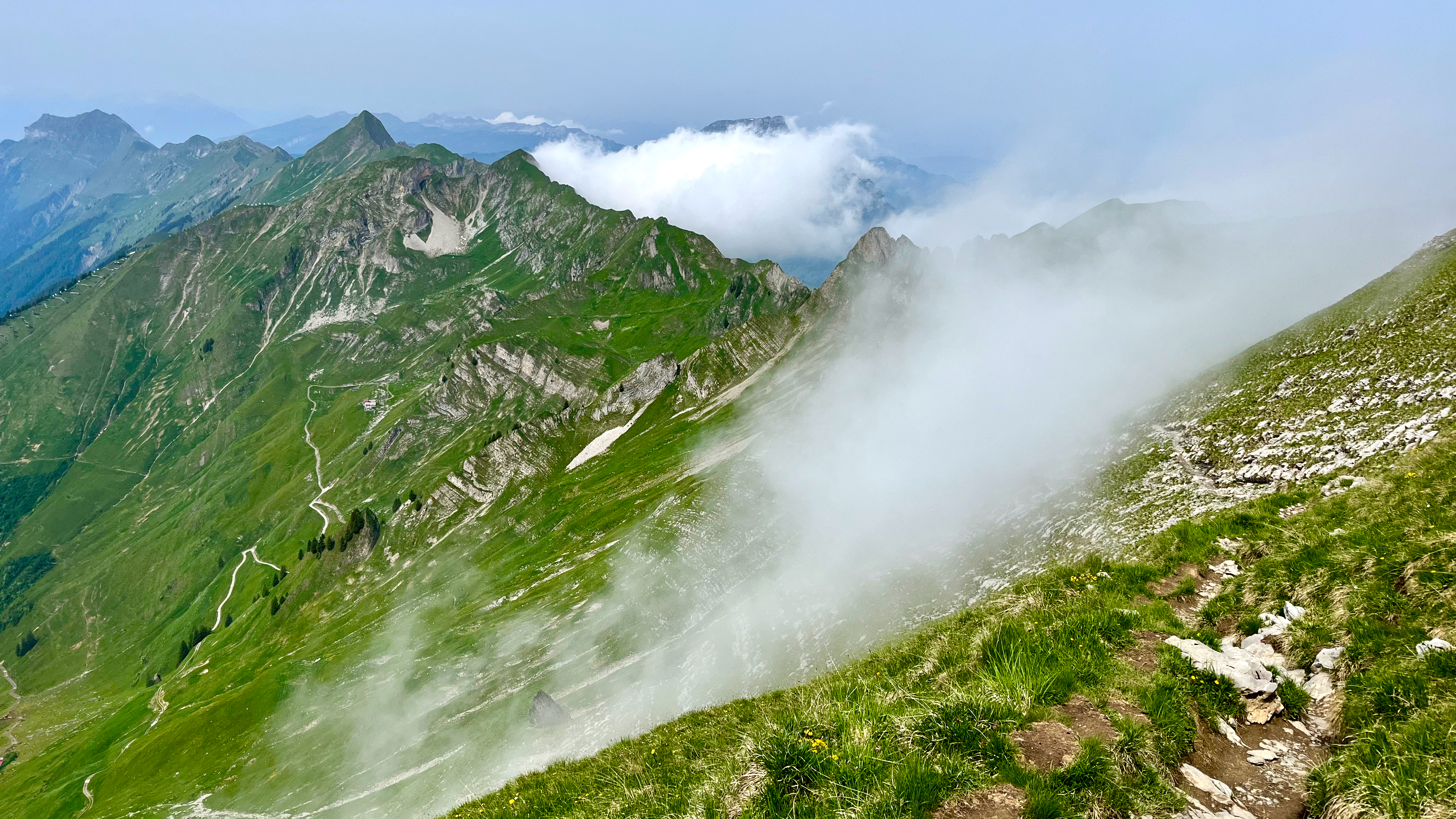
A bit foggy on arrival. Bit of a worry.
This is NOT an official trail. You’ll see warnings.
This first half is unsigned. But you can’t get lost as the trail stays as close to the ridge top as possible.
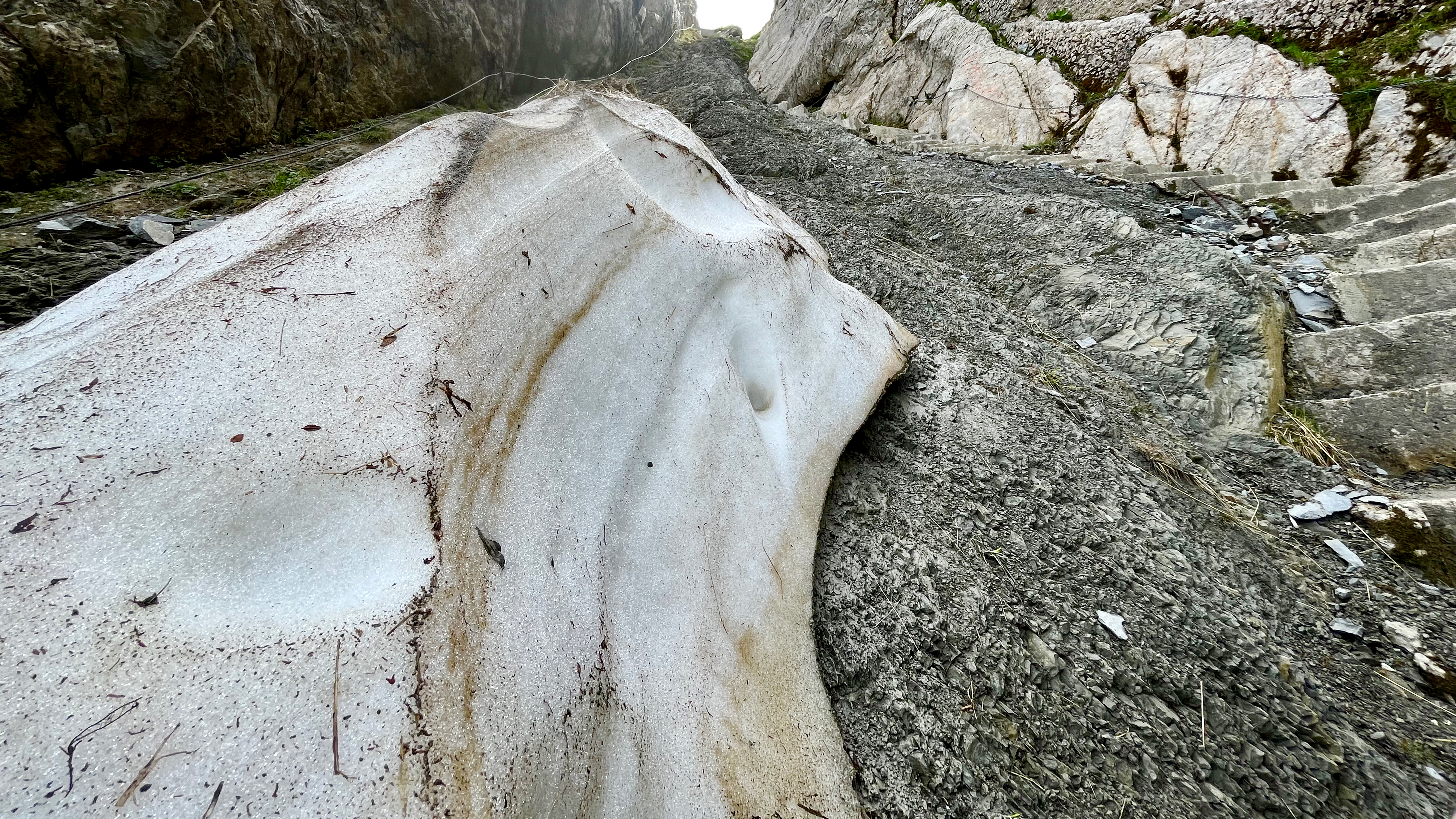
Early on there is a technical section with stone steps and cable hand assist. It could be tricky when completely covered with snow.
I thought I’d be faster my second time. NOPE. It still took me 10 hours though I tried to move quickly with only short stops for photos and video.
At times you’ll wonder if that next climb is even possible. It is. 😀
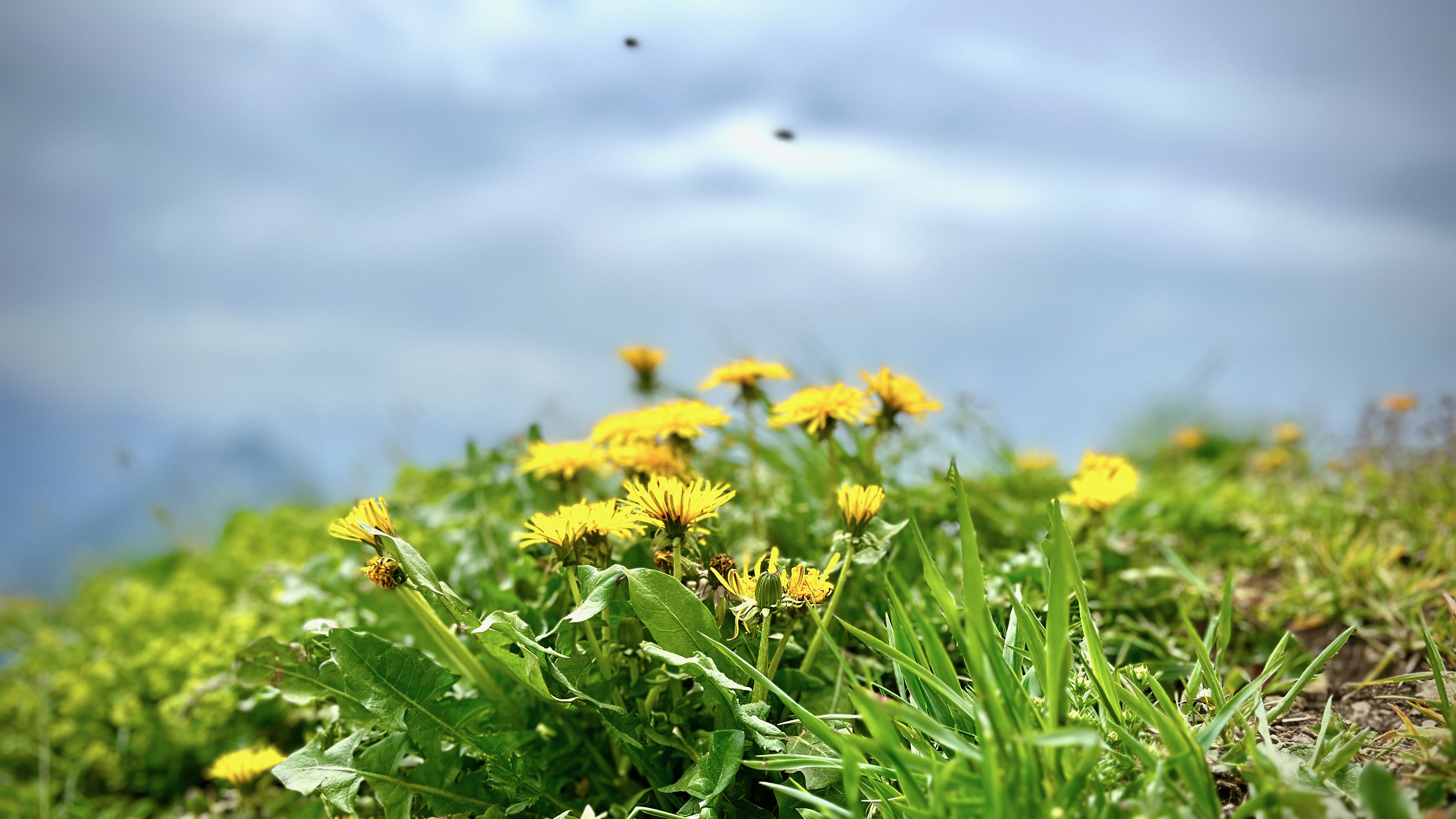
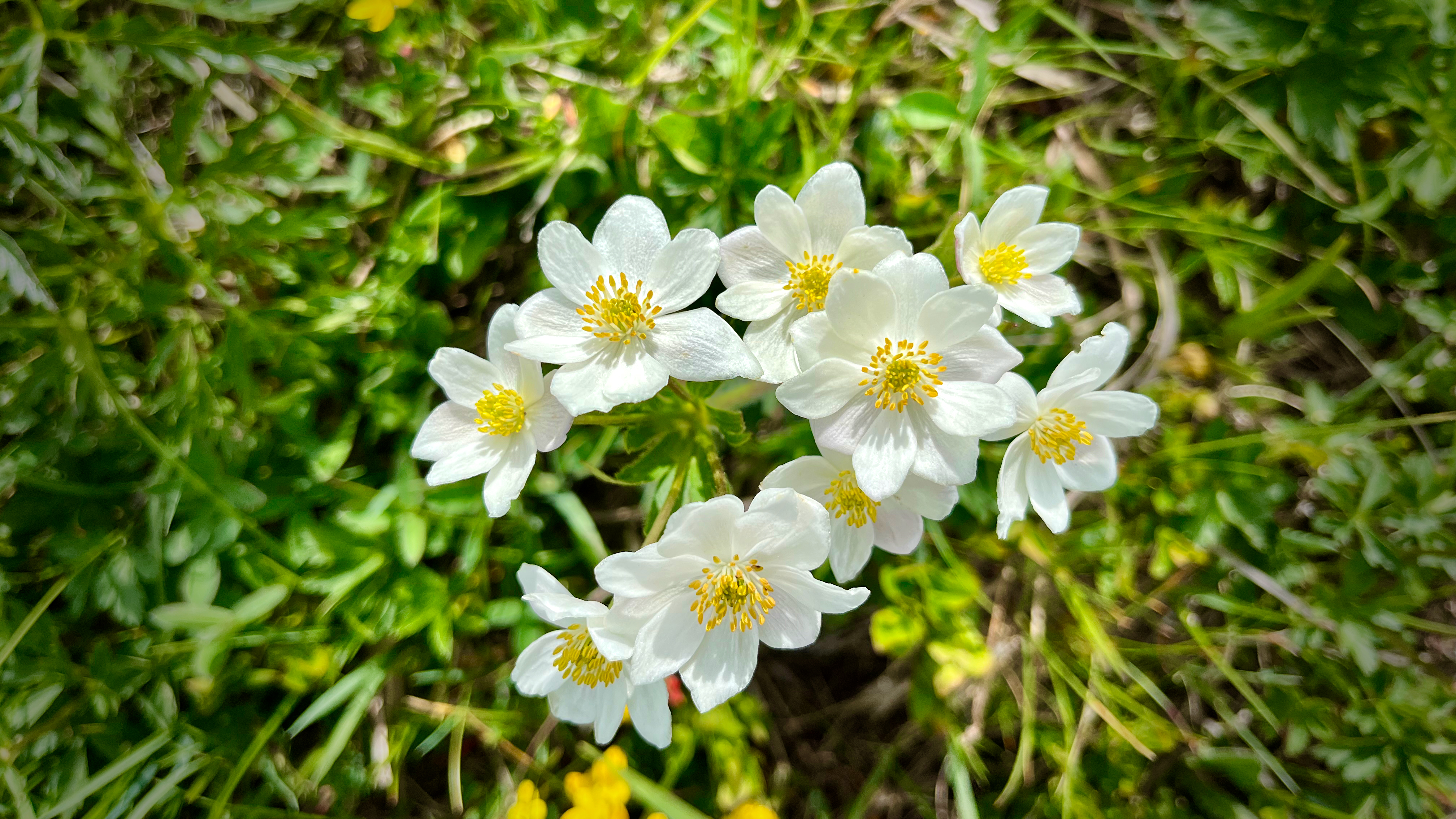
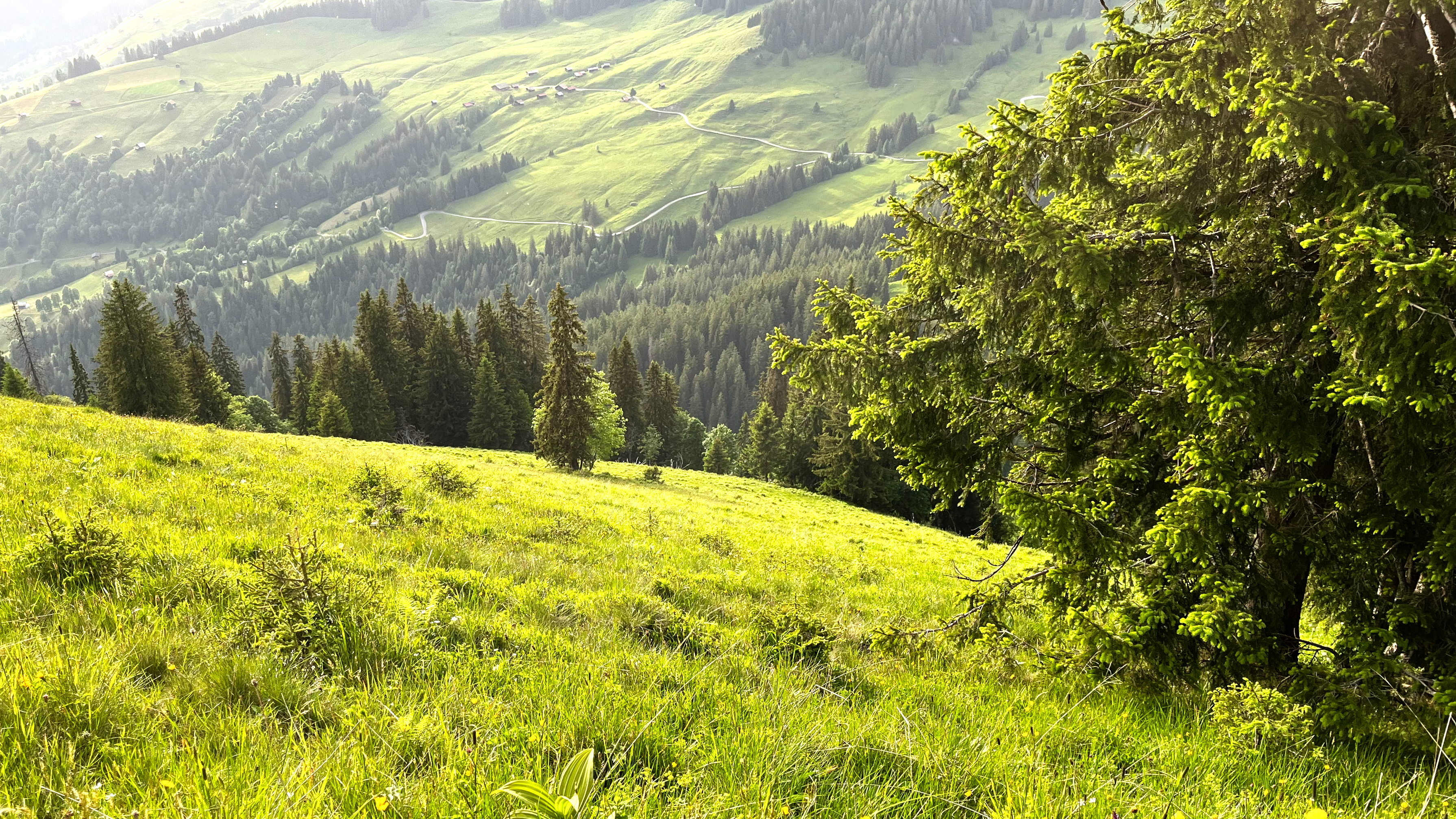
There were plenty of wildflowers. Plenty of insects end of June.
This is a great hike to carry a drone.
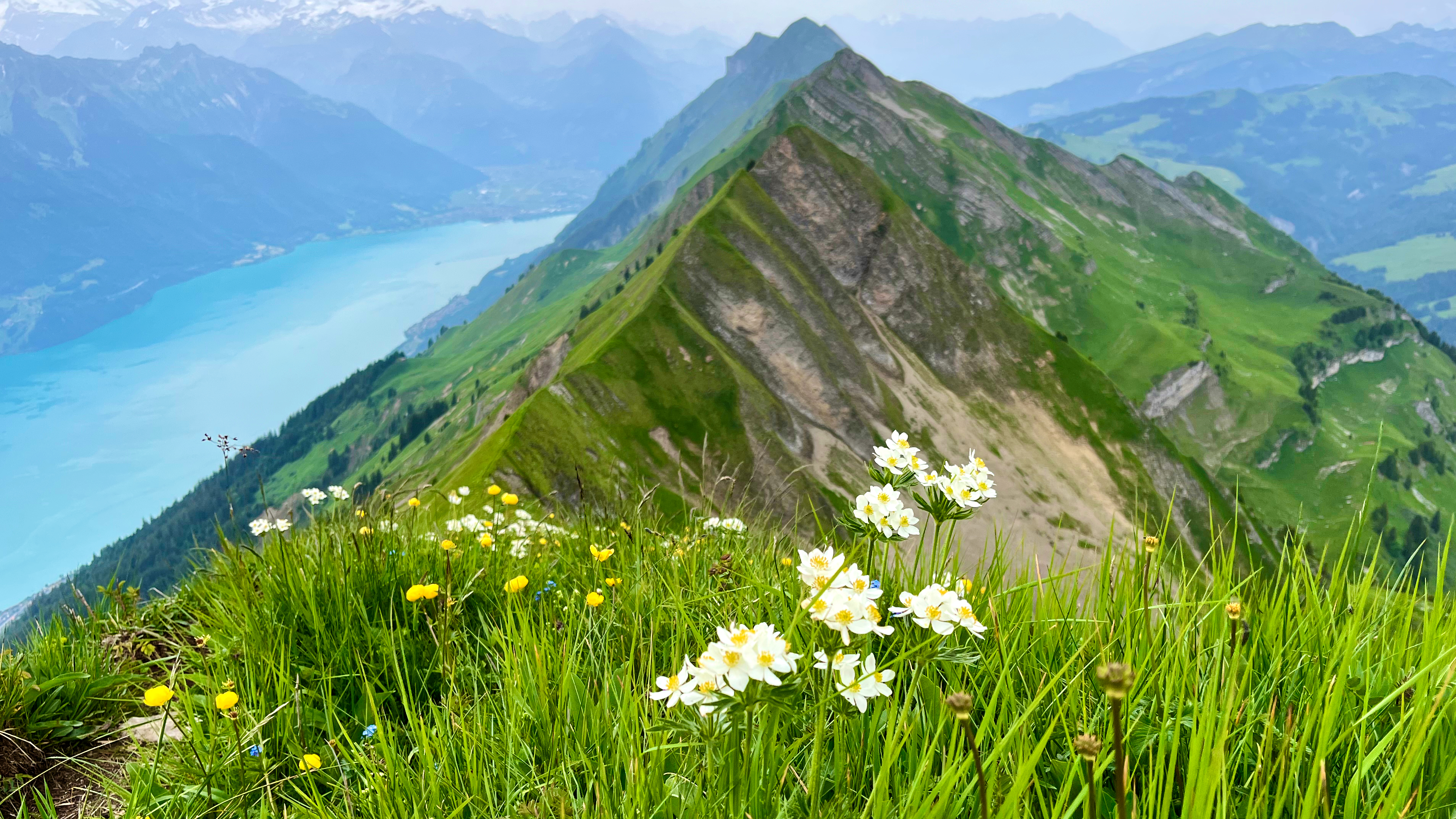
It was hazy. But I still had good views of the big peaks across the lake.
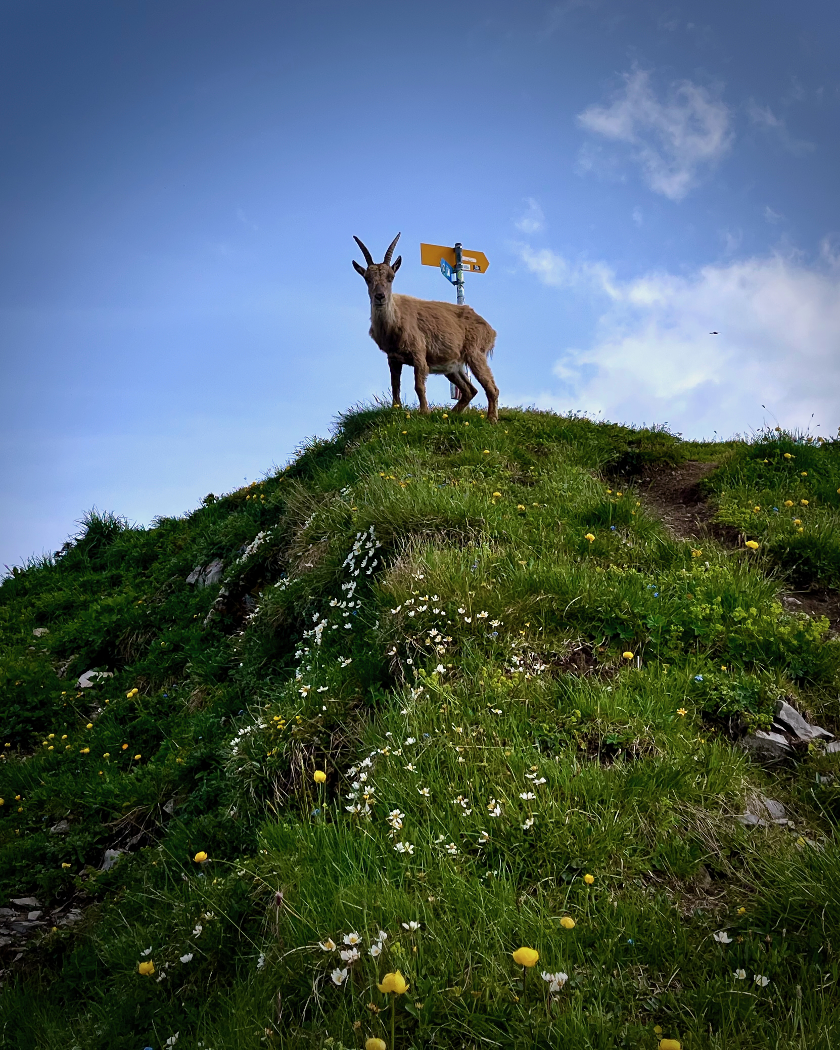
The first time here, I was disappointed not to see any Ibex. This time mama blocked the trail for about 10 minutes. She had two little ones with her so I was cautious in making my way past.
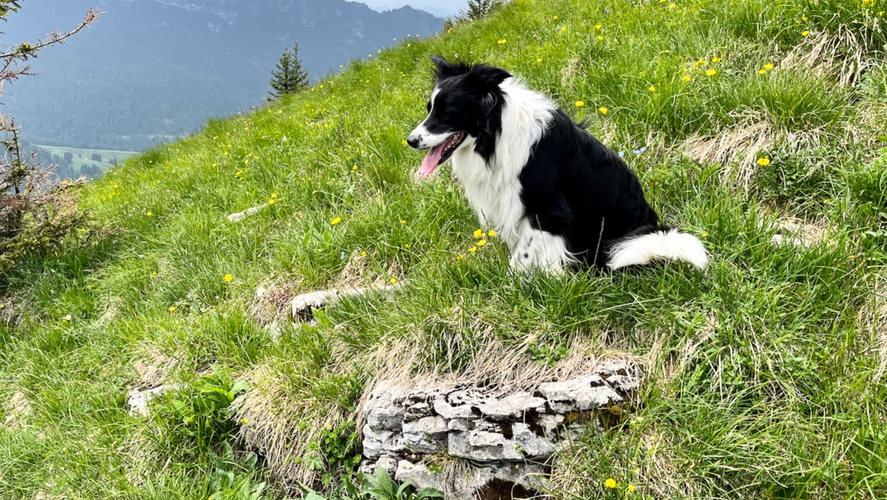
I wouldn’t recommend bringing a dog on this one. There are too many sharp stones.
The final 6km are in the trees and it’s a relief to finally reach that section.
Both times — however — I found I was no faster here than on the naked ridge.
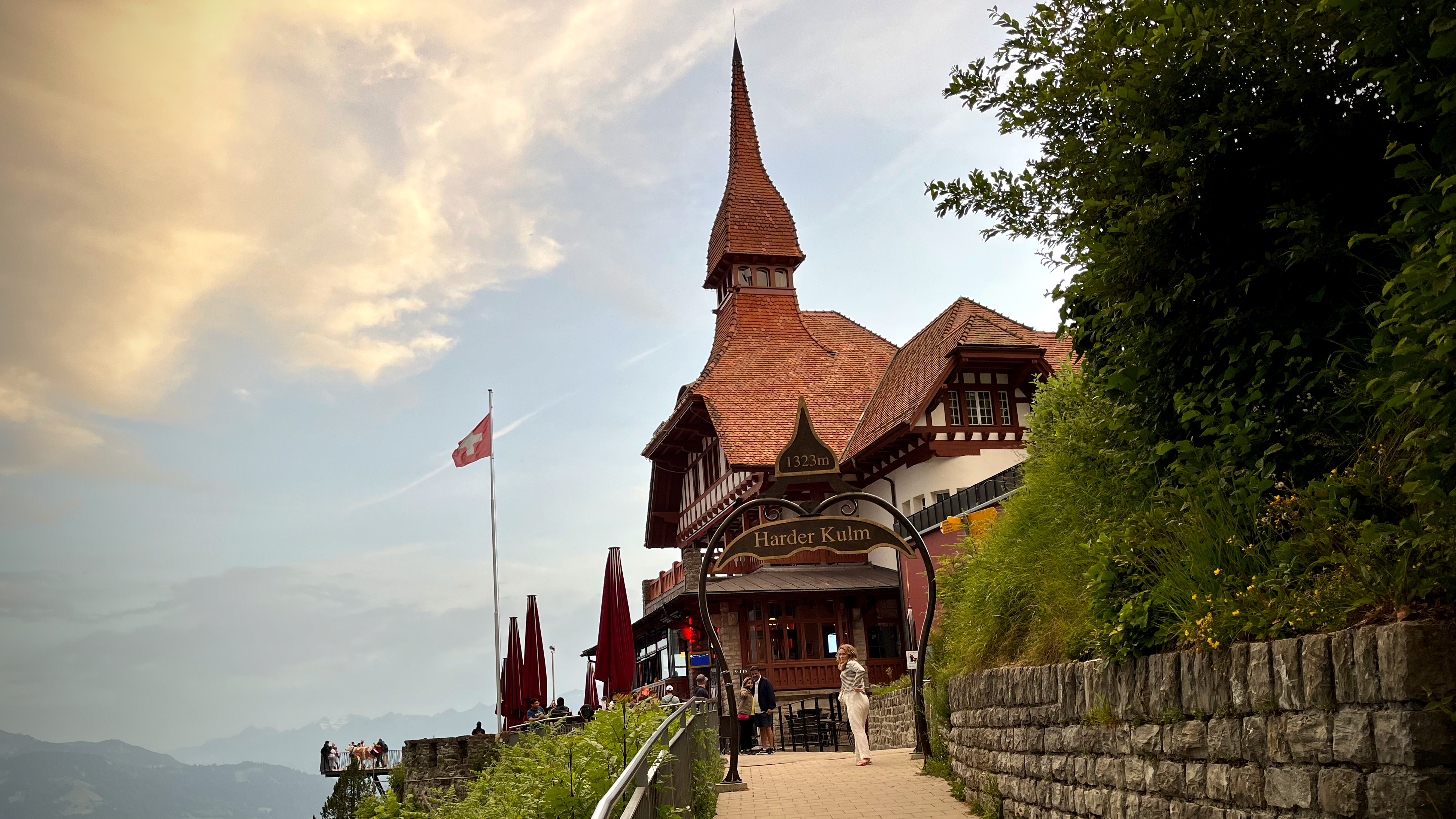
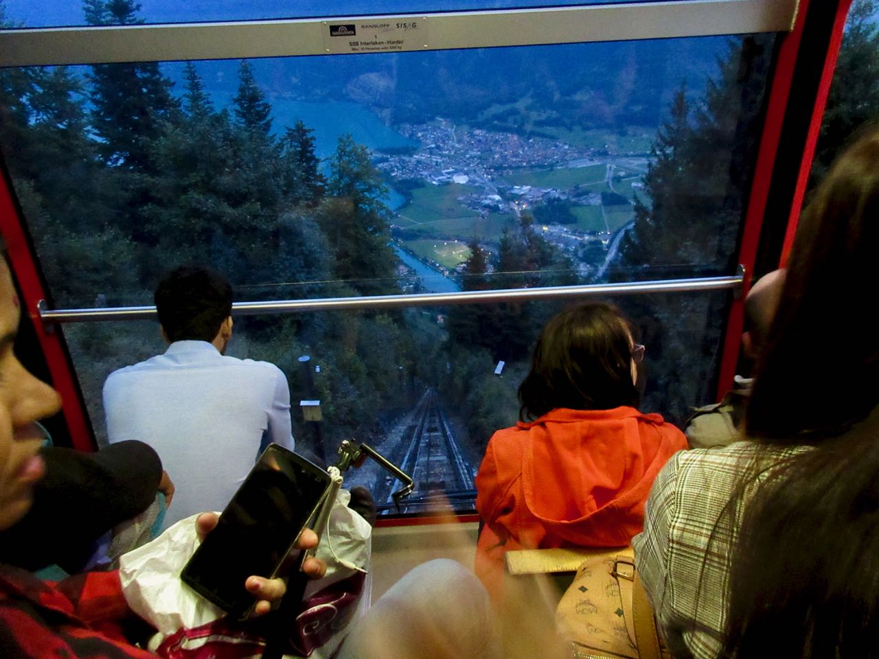
I was still worried about making the last funicular down from Harder Kulm. End of June it left at 9:45pm. I was on the last one.
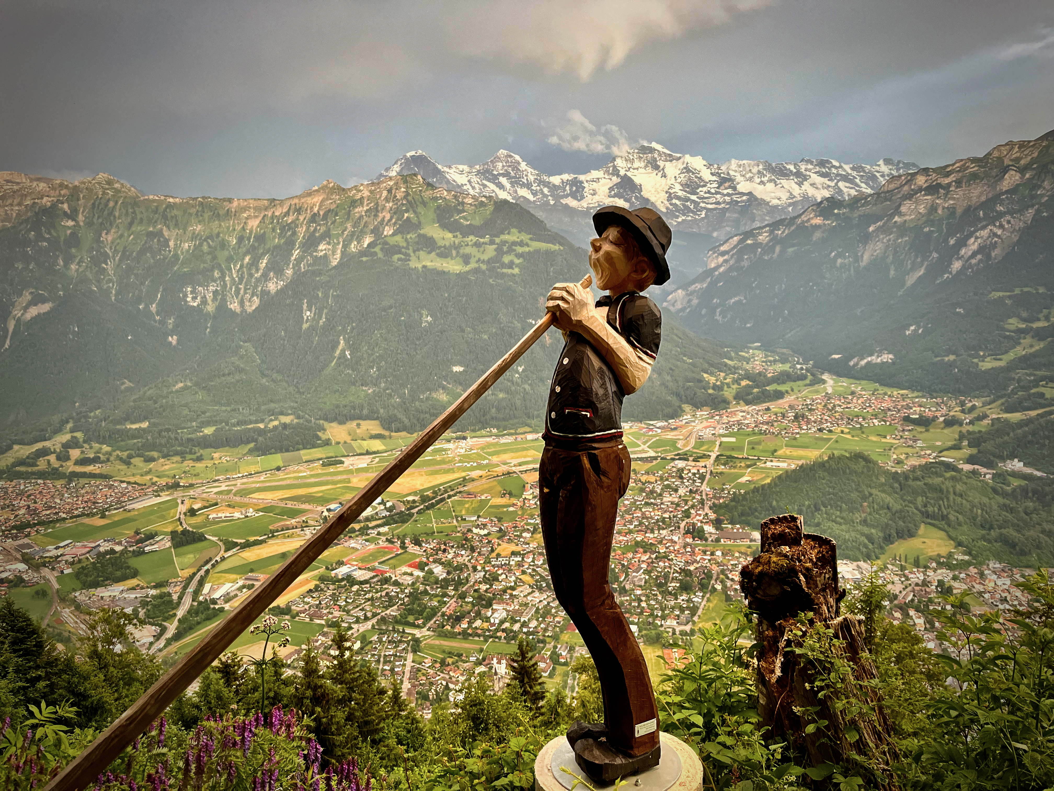
It is fantastic to be delivered right back to Interlaken after 10 hours on foot.
Thomas Coldwell documented his summer 2022 adventure, along with 4 others. And put together this VERY useful document for anyone wanting to plan a Traverse for themselves:
I stayed at the excellent and inexpensiveGrindewald hostel. It’s a fair walk uphill from town. But you can take the hourly bus for free.
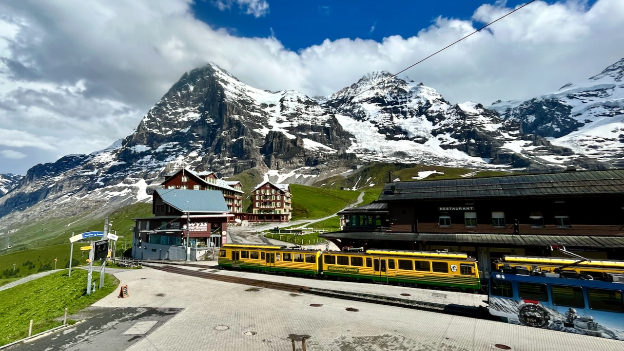
Of many excellent day hike options, I decided on the Eiger Trail starting in Alpiglen, climbing 800m. Lazy this time, I took the expensive Jungfrau Railway up to Alpiglen. (A woman I’d spoken with had hiked it to and from Grindewald the day before — MUCH tougher.)
My route was only a 12.9-km loop — but it might take 5 hours as you stop so often for the fantastic vistas both UP and DOWN.
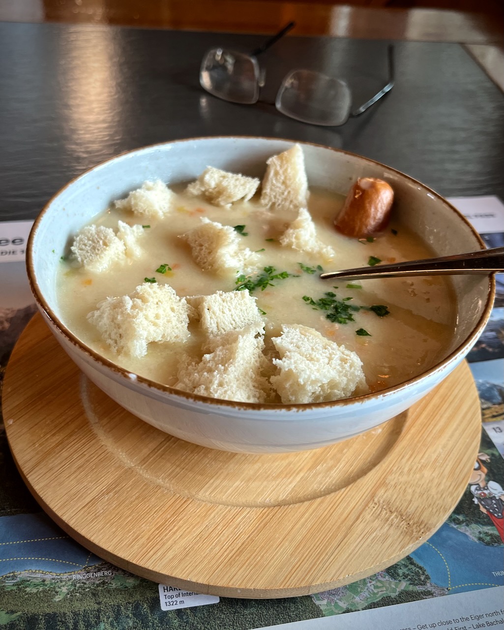
Unfortunately, the typical afternoon rainstorm broke just before I sprinted into Kleine Scheidegg near the top.
I ended up buying an expensive train ticket back down to Grindewald. And enjoying Swiss soup at Kleine Scheidegg while I waited out of the rain.
Weirdly, the weather broke right after soup. I could have easily hiked down — but could not get a refund on the train ticket as it came out of a machine.
I do feel the Eiger Trail is the best hike out of Grindewald.
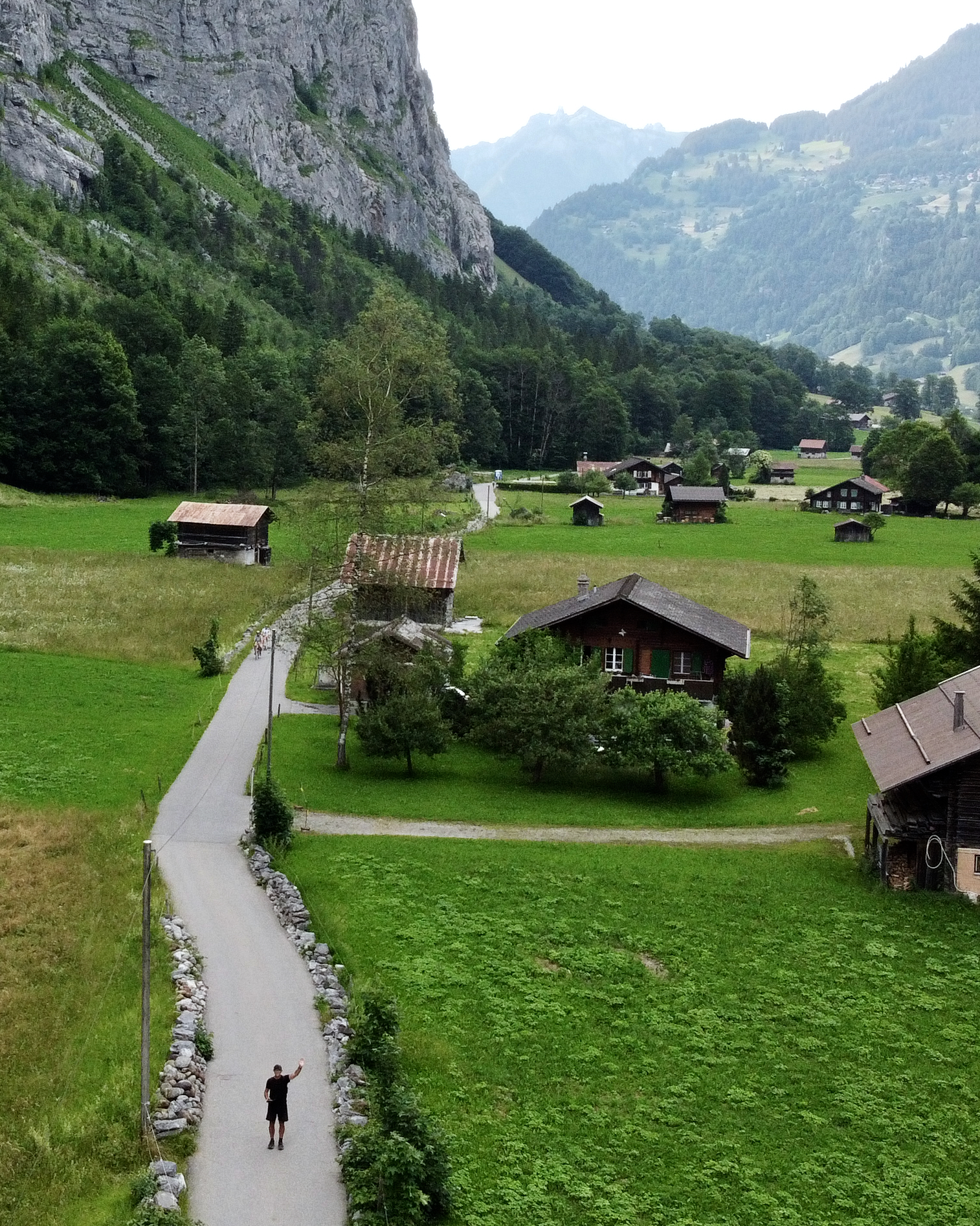
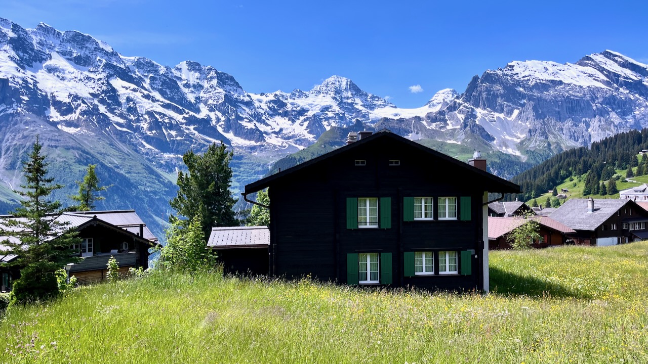
In fact, this unique U-shaped valley, (German: Lauterbrunnental), is what I remember most fondly. In places the cliff walls are up to 1,000 m (3,300 ft) high. It’s very popular with all the action sports where people jump off cliffs. 😀
On this trip I walked the valley 3 times. Back and forth in the evening. Then next day as part of my major hike. Lovely.
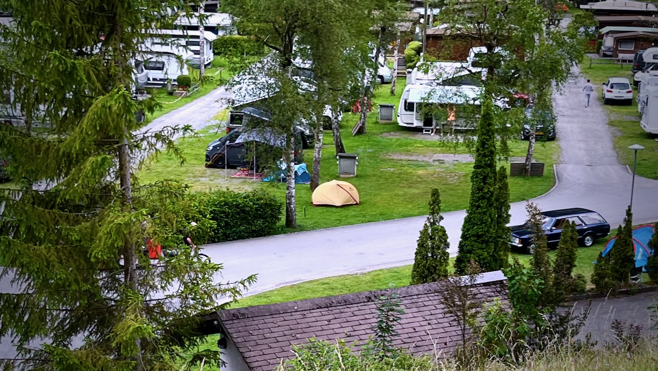
I tented at Camping Jungfrau near town. An excellent campground.
There are no bad hikes out of Lauterbrunnen. But I did one version of what’s probably the most popular. Lauterbrunnen ➙ Mürren ➙ Gimmelwald ➙ Stechelberg ➙ and back down the valley to Lauterbrunnen. A loop. You could do it in either direction.
There are many ways to do it. I took the cable car up to Grütschalp, to start.
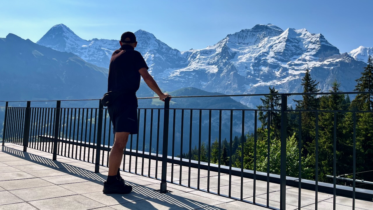
There are terrific views of the Eiger, Mönch, Jungfrau, and many other high peaks from up on those cliffs.
Tourists are all happy here. All impressed that the culture is being somewhat preserved. Farmers are working as they have been for hundreds of years.
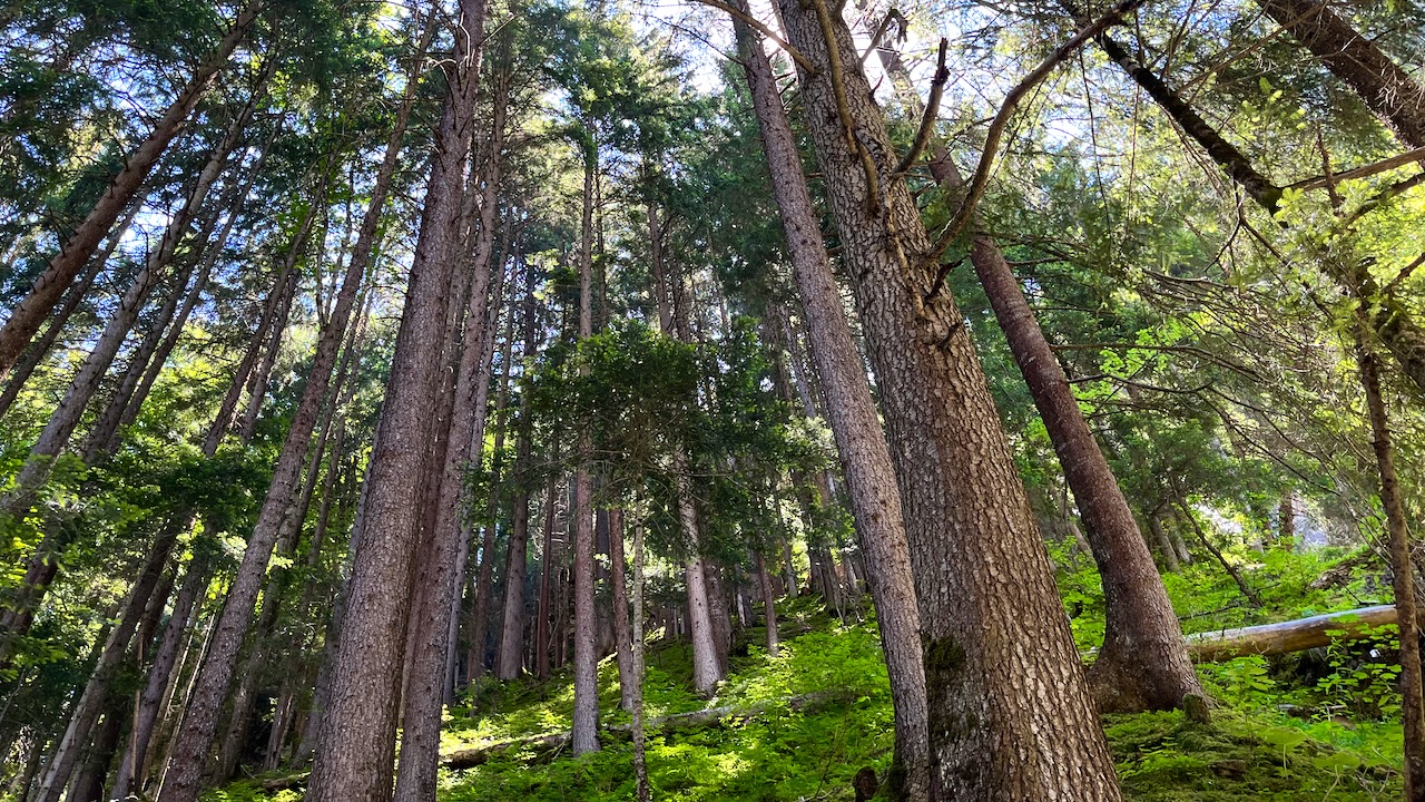
I was surprised too that it’s quite possible to find spots with no people. Huge trees.
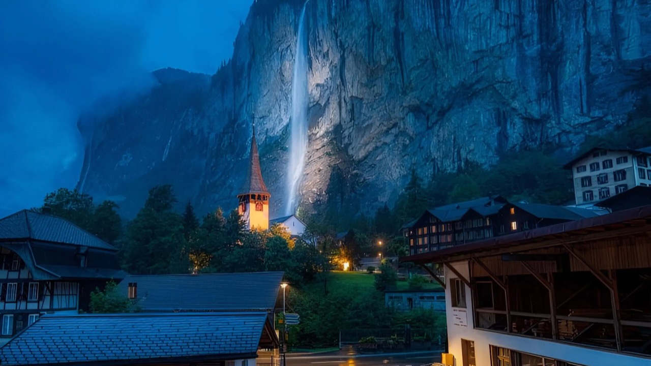
There are dozens of impressive waterfalls. I liked best Staubbach Falls, close to the village of Lauterbrunnen.
This area has 136 days of rain or snow per year. Be prepared. Sunny. blue sky in the morning can develop into a serious lightning storm in the afternoon.
… the first person to visit both the North Pole and South Pole by surface means and the first to completely cross Antarctica on foot. In May 2009, at the age of 65, he climbed to the summit of Mount Everest.
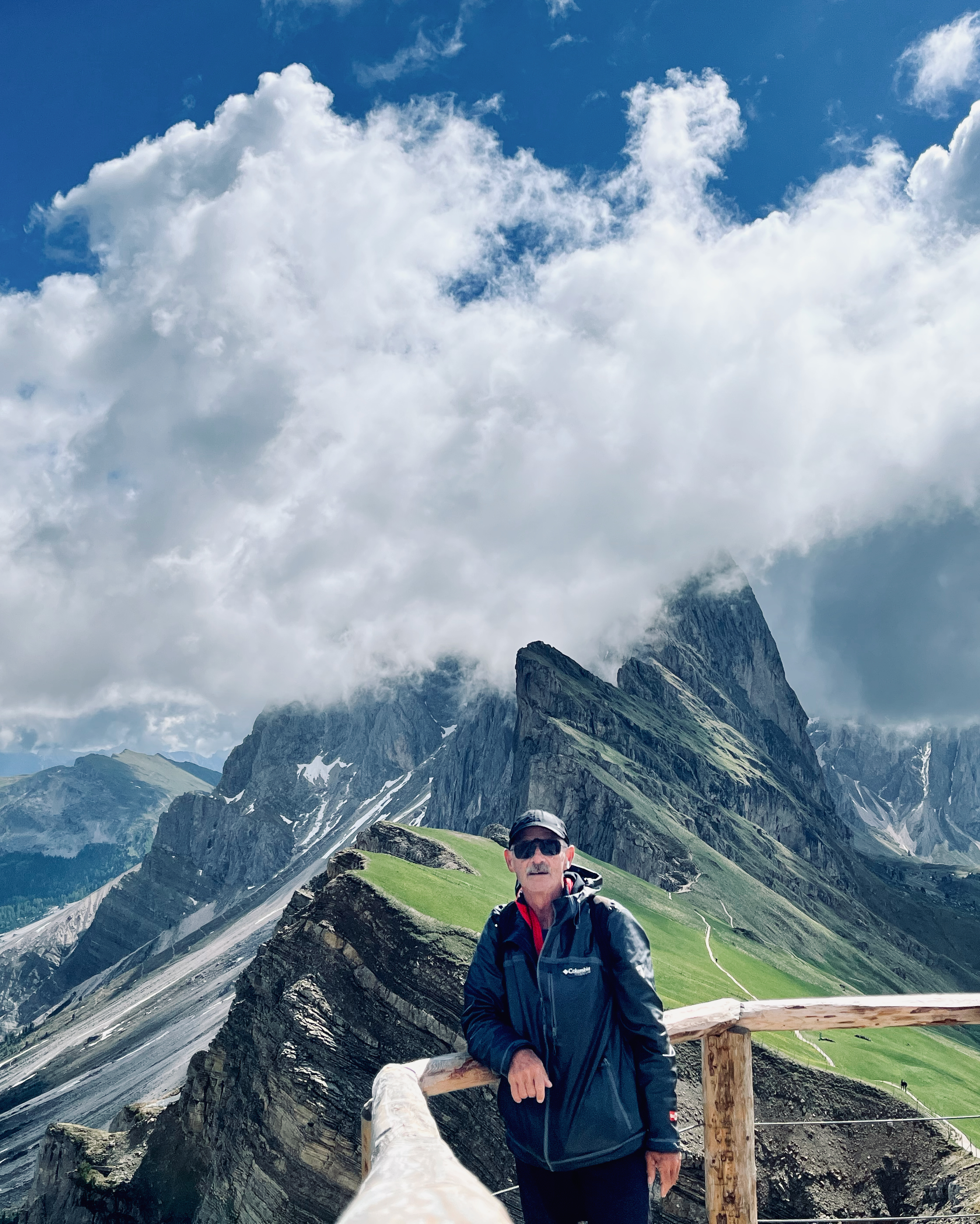
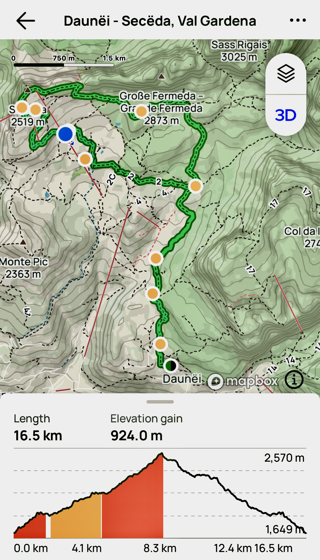
There are no bad hikes out of Val Gardena. But the highlight for me was getting to the famed ridge vista of the Odles/Geisler Group from Secede (2518m).
I hiked up early, the first person to reach the ridge on this morning. I wanted to beat the cable car day hikers. That expensive lift started up at 8:30am in 2023.
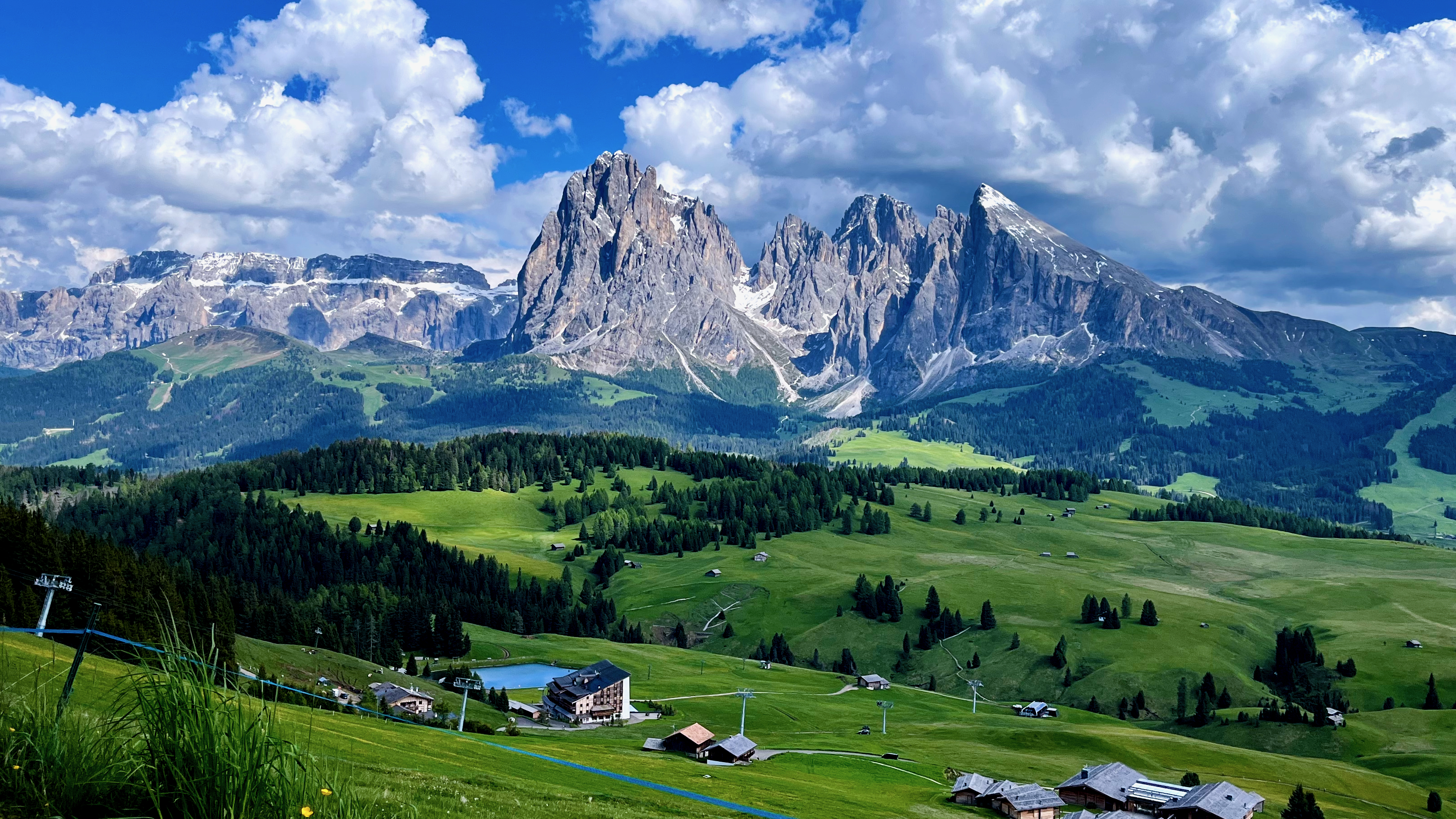
Here’s that famed vista on a clear day.
Amazing views in the Dolomites mountains. Views from Seceda over the Odle mountains are spectacular.
Another good option is to stay late in the day, after the cablecar stops at 5:30pm.
Of course it’s a long steep descent. 😀
There’s heated debate in the Dolomites whether or not you should use the cable cars. Personally, I’m OK with them — if you have the money.
But on this one I climbed down over a vertical kilometre back to the valley. Step by step.
I’d started with a plan. BUT — as usual in the Dolomites — I ended up changing it en route. Easy to do when there are so many clearly marked alternatives.
Another day I took the cablecar from Ortisei to the Alpe di Siusi up to what’s claimed to be the largest high altitude Alpine meadow in Europe. It is high, huge, and green.
You can’t lose hiking Val Gardena. It’s fantastic.
Be ready for afternoon thunder and lightning, however. Don’t get stuck up high in a storm.


