Image posted by Marvin Weeks on Cursed AI.

Best hikes, treks, tramps in the world.
Image posted by Marvin Weeks on Cursed AI.
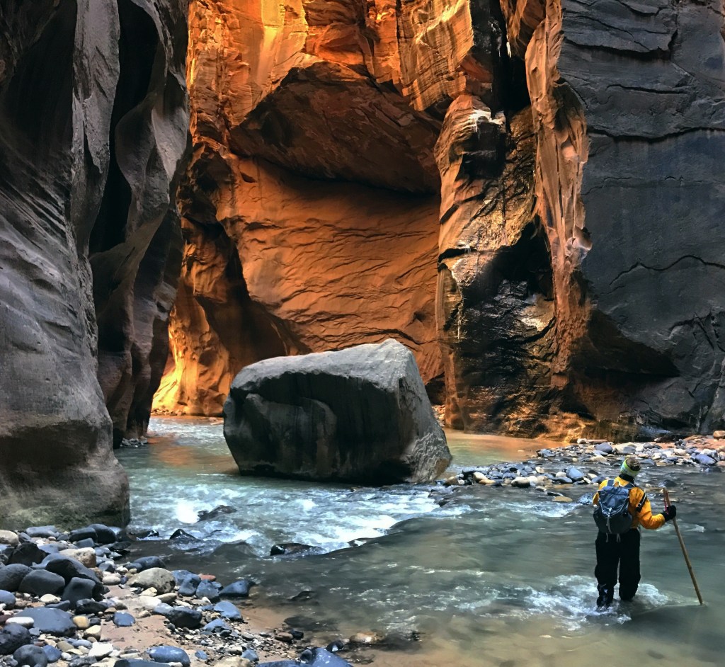
Best slot canyon hike in the world.

World → North America → S.W. USA → Utah → Zion Narrows

For details click over to our Zion Narrows information page.
The most popular sleeping pad on the Pacific Crest Trail these days is NOT the lightest.
It’s the Therm-a-Rest NeoAir® XLite™ NXT.
I opted for the slightly heavier, rectangular Therm-a-Rest NeoAir® XLite™ NXT MAX Sleeping Pad. Not inexpensive at CAD $340.
That shape completely covers the bottom of my 1-person-tent, keeping everything cleaner. And dryer.
I hike and cycle in rainy, muddy destinations. Iceland in 2024, for example.
I’ll be carrying it a lot for BikePacking where weight matters less.
Click PLAY or watch it on YouTube.
Great pad. But VERY SLOW TO FILL using the supplied inflation bag.
I decided to purchase the tiny USB powered FLEXTAILGEAR Portable Tiny Pump 2X. (CAD $46)
Click PLAY or watch it on YouTube.
Click PLAY or watch it on YouTube.
Laura Waddell and her Mom did the coastal track October and early November 2023.
Click PLAY or watch it on YouTube.
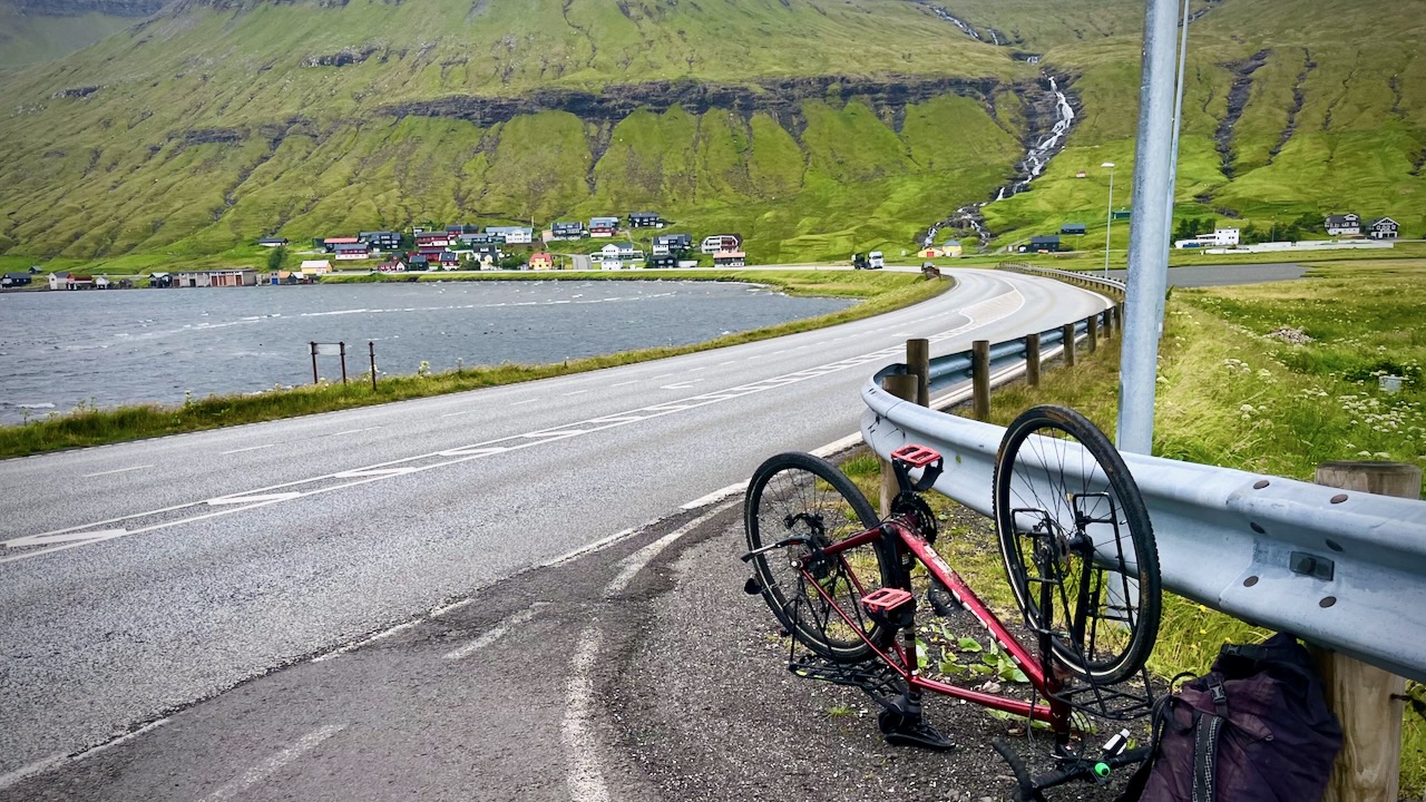
The best way to travel the 500km of roads over 17 islands is by personal vehicle. This gives you the flexibility to go when the weather forecast looks … better. 😀
Otherwise you are limited by the infrequent public buses and ferries. AND ferries often don’t run when it’s too windy.
On the other hand, with a motor vehicle, you pay a fee for every undersea tunnel you drive through, and any ferry you need to take. It adds up quickly.
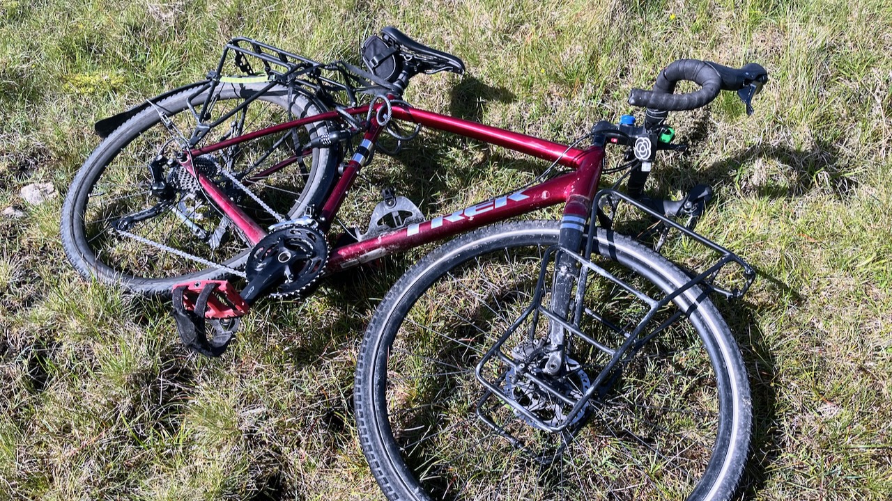
I went with gravel bike — but was too cowardly to cycle through most of the many narrow tunnels. It is allowed, however. Locals told me they don’t mind bikes in tunnels.
I did cycle 2 of them.
It’s easy to put your bike under the bus — and I did it every day.
BUT the buses run infrequently, especially on weekends and holidays. There are very few locals on them, only a few cheapskate tourists.
If you like coastal scenery, there is no place on the Faroe Islands more than 5km from the seas.
I had a bike shop in the capital do a tune-up and replaced the chain. Bike ran great — until the new chain broke. It was Sunday and there was no bus service. I had to hitchhike with my disabled transport.
Note: A number of the most famous hikes on the Faroe Islands cross privately owned land and have expensive fees. Similar attractions in Norway and Iceland are free.
There are campgrounds, but I’d recommend booking a roof over your head. I had an inexpensive room in a Vestmanna guesthouse, happy to be warm and dry my clothing every night.
The Faroe Islands are great. But logistics are challenging. Book as many days as possible.
The easiest way to hike is with your own motor vehicle. Either rent — or take the only ferry to the Faroe Islands.
Click PLAY or watch it on YouTube.
related – 15 things to know before visiting the Faroe Islands
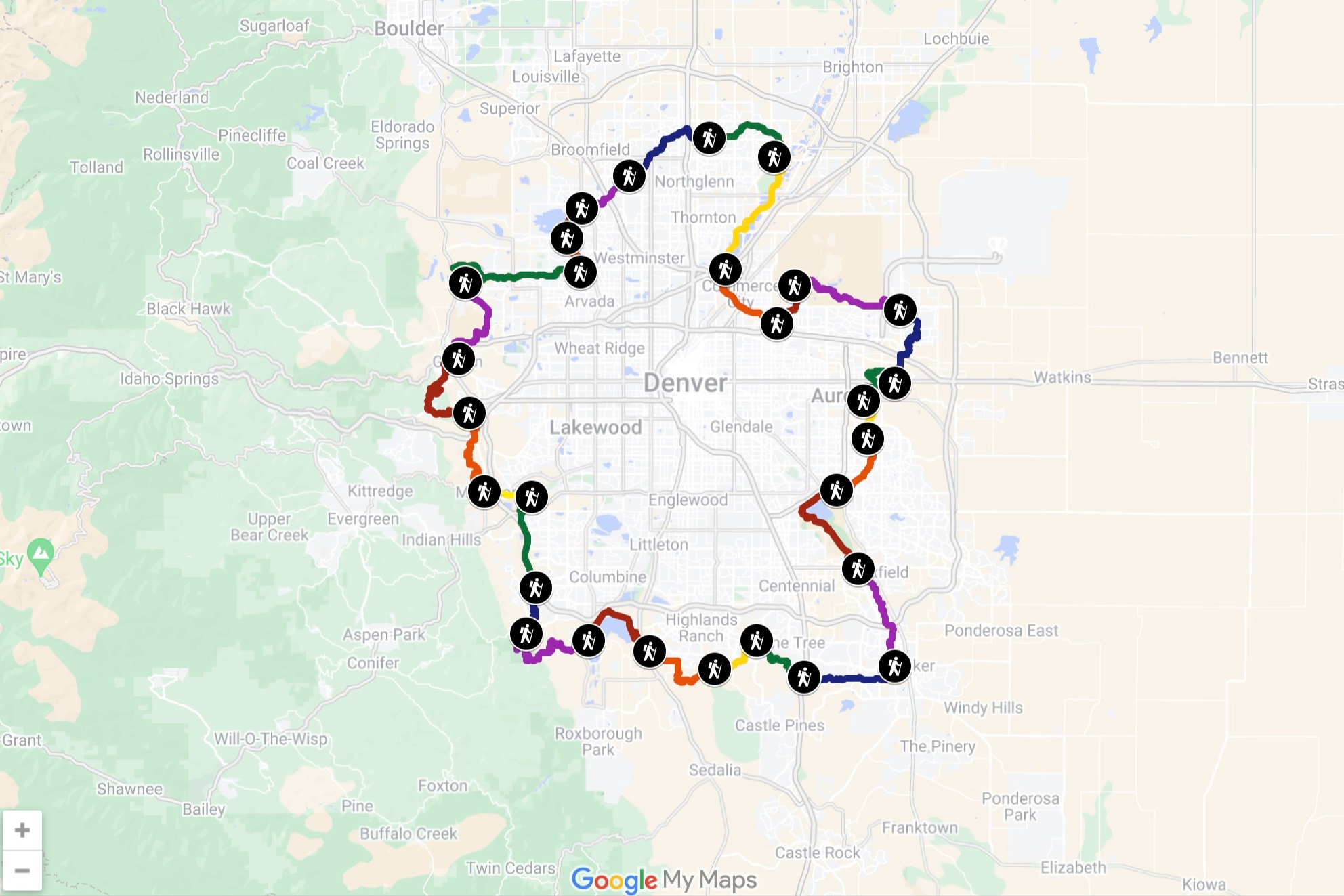
Michael Tormey mapped out a route that circumnavigates Denver using existing trails — he’s calling it the ‘Denver Orbital Trail’ …
Tormey divided it into 28 sections, each designed to be approachable and accessible sections that almost anyone could complete as a day hike. …
Tormey has the route and all the sections mapped with AllTrails on the Denver Orbital Trail website. …
Trip report by BestHike editor Rick McCharles
Fossurin í Fossá is one of the highest waterfalls in the Faroe Islands. Super popular with tourists.
140 metres to the sea in two stages.
You can drive to the base easily.
I did the surprisingly difficult scramble up in-between the two falls. It was a rush.
Click PLAY or watch it on YouTube.
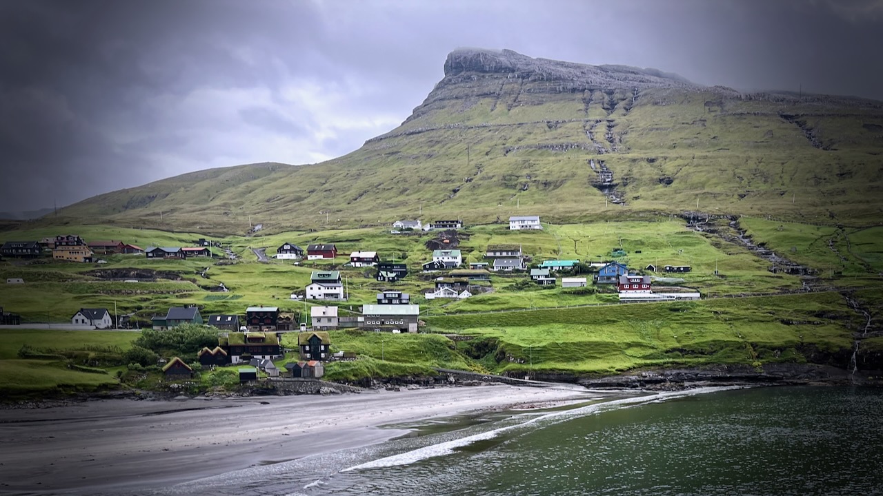
One of the best — and free — highlights of the Faroe Islands is the tiny village of Gásadalur (13 inhabitants).
Tourists go to see the Múlafossur Waterfall — but the village itself is also charming.
If you look long enough, you’ll probably see some puffins near here.
Before 2004, people needed to hike over a mountain shoulder to get there — but after the Gásadalstunnilin tunnel (1.4 km) was blasted — it’s became possible to drive, cycle, or arrive by public bus.
I cycled. And it was a bit scary in that long tunnel.
On the way out I put my bike on a bus.
Click PLAY or watch it on YouTube.
related – hiking around Gásadalur, including the old Postman’s Trail
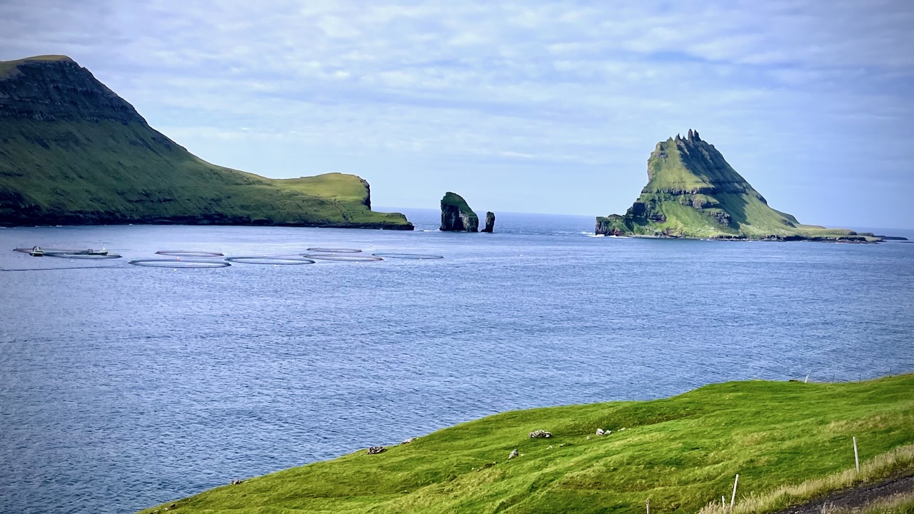
On the way to the waterfall, before the tunnel, you get great views of 2 sea stacks called Drangarnir — Stóri Drangur and Lítli Drangur.
Leynar (Danish: Lejnum) is just another scenic coast village in the Faroe Islands. Population 116.
Click PLAY or get a glimpse of the hike on YouTube.
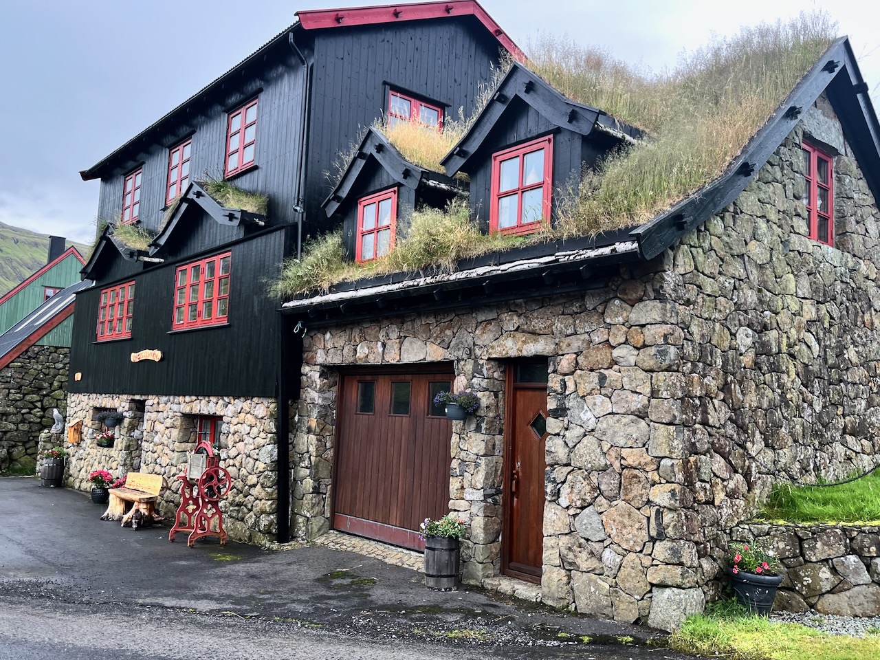
This was amongst the prettiest houses I saw on the islands.
I’d heard about a popular route for locals, crossing a mountain pass and finishing in Leynar. It’s not on any tourist guidebook I’ve seen, including AllTrails.
It’s not signed. Finding the trailhead on highway 50 was tricky. Look for a large stone cairn. It is somewhat marked on the Maps.me app.
I left my bike in a depression and followed the cairns.
I had great weather and totally enjoyed a few hours on this wet trail.
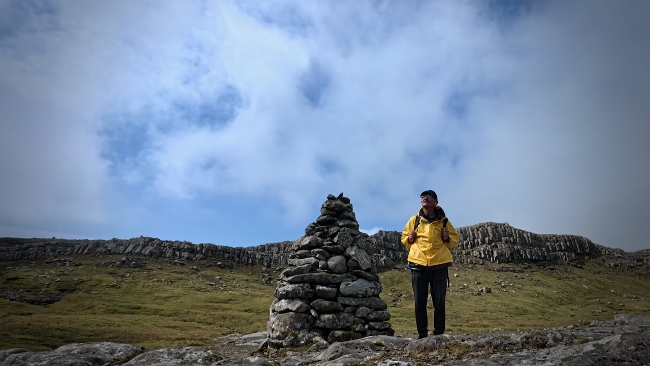
I saw only 3 other hikes on a beautiful day, all Faroese. They’d come to see the basalt columns.
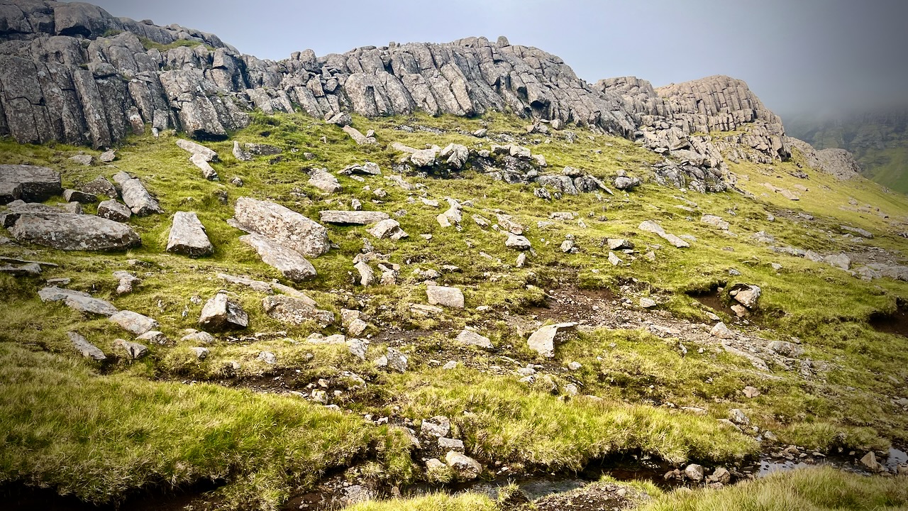
It’s marshy. Waterproof socks recommended.
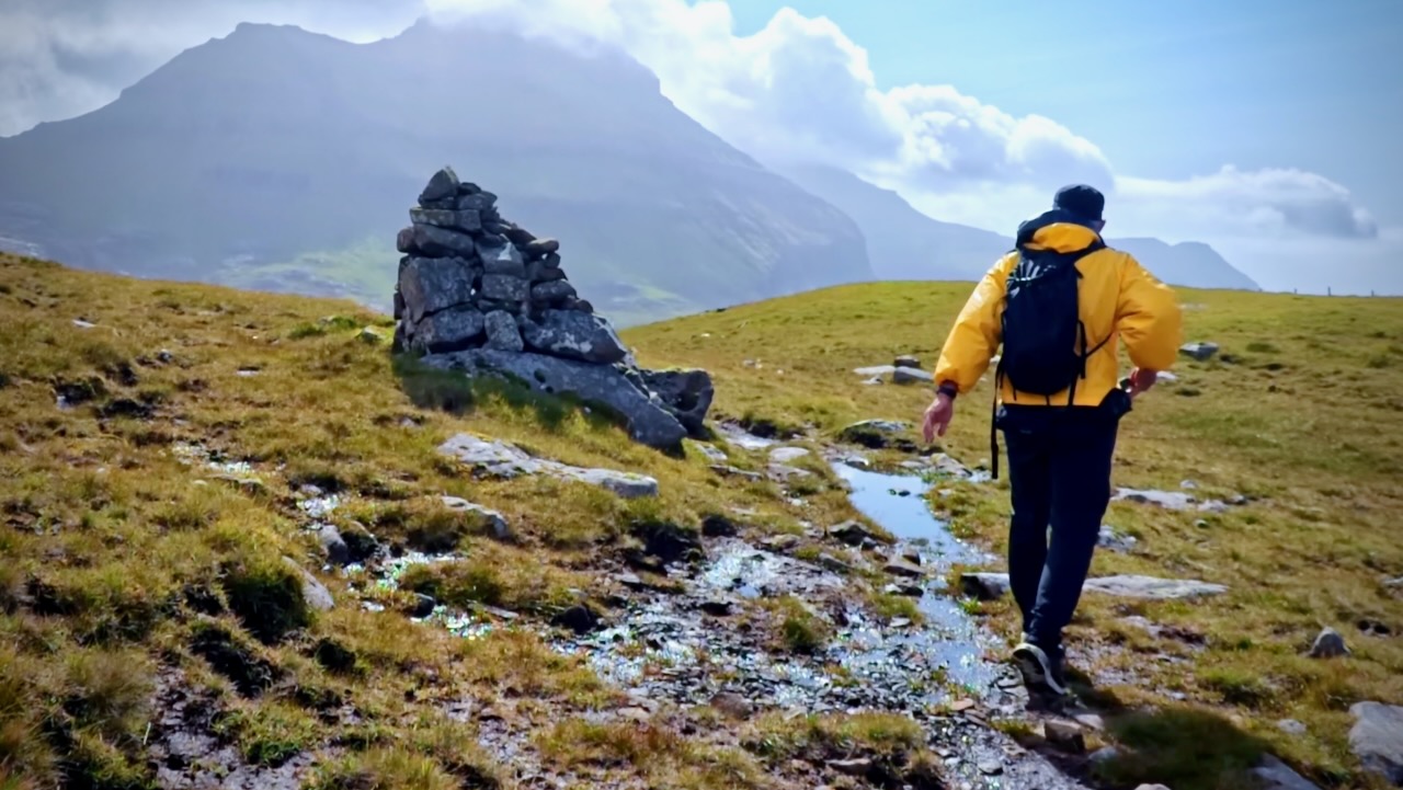
You know you are close when you see this light station.
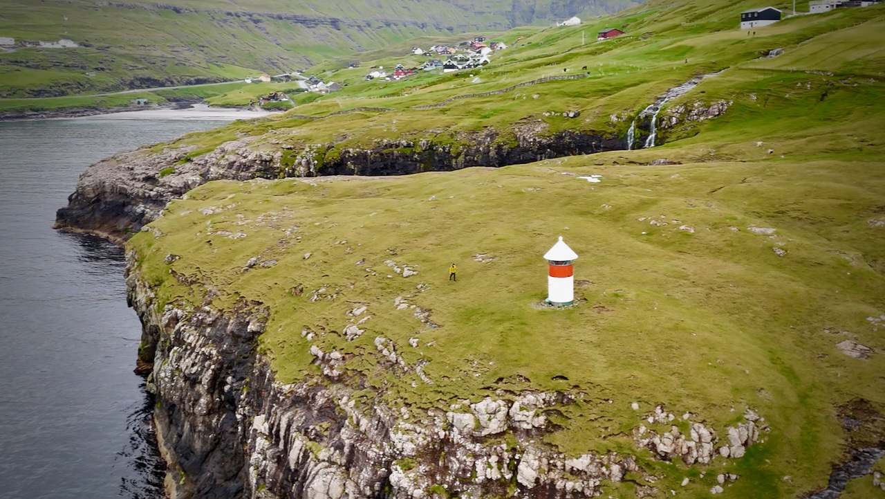
Leynar has a large black beach.
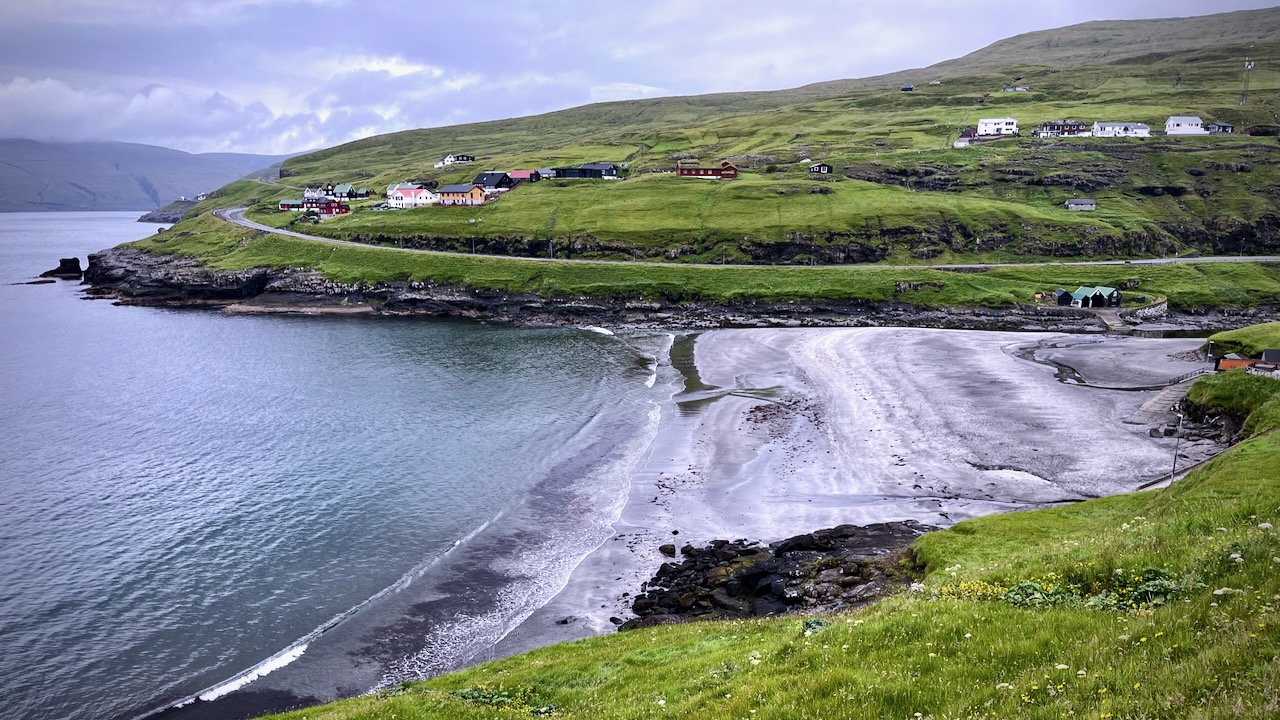
Here’s the view of the town you see from the highway.
Planning my own visit to the remote Faroe Islands, I watched Ryan Shirley’s video most.
You need your own motor vehicle and quite a few days to duplicate what Ryan did. Often you want to wait on the weather to see highlights.
Ferries are sometimes cancelled due to wind.
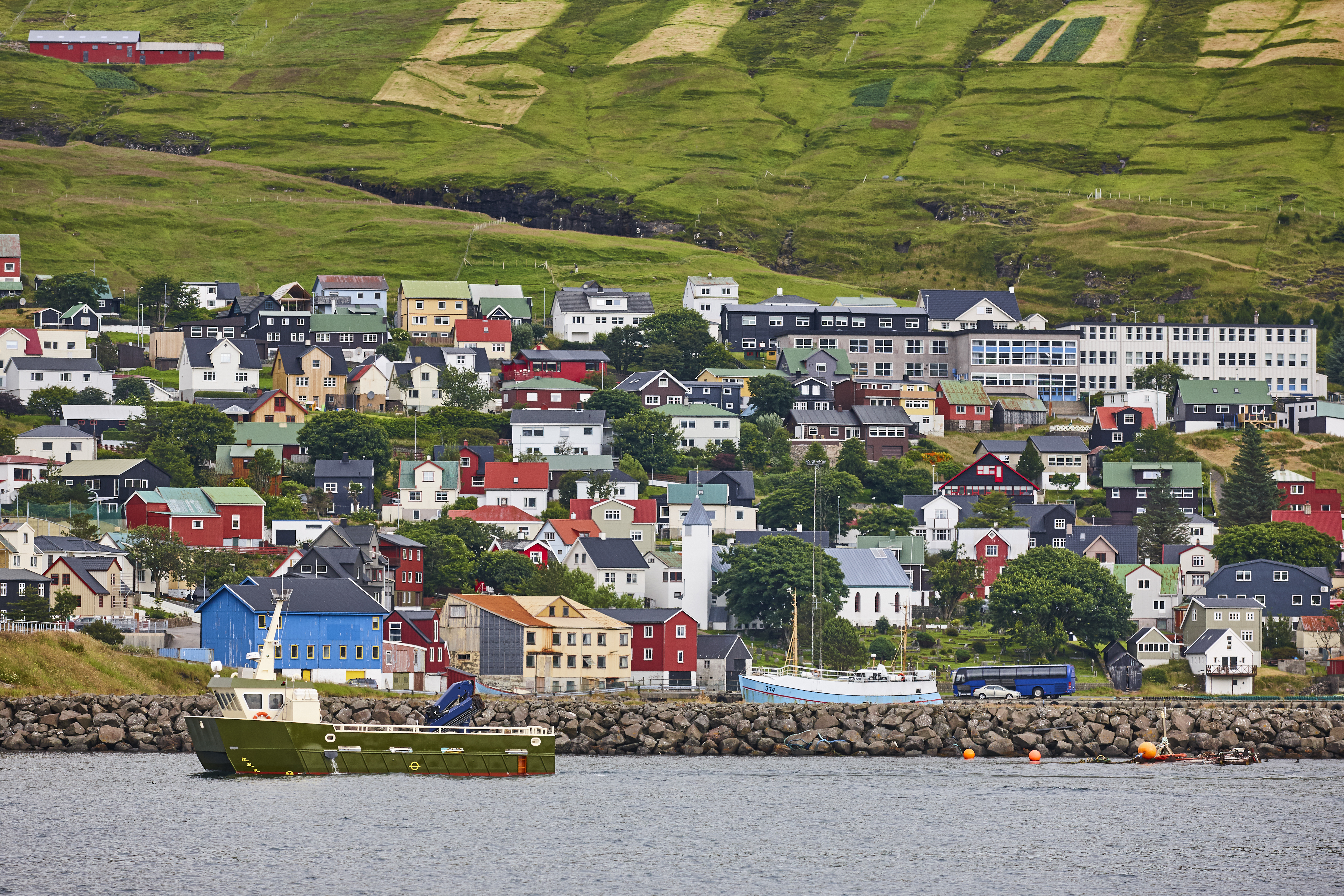
The capital and largest city, Tórshavn, receives the fewest recorded hours of sunshine of any city in the world.
There are about 500km of roads to navigate, though you wouldn’t normally need a 4 wheel drive for most.
Click PLAY or watch it on YouTube.
