

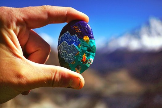
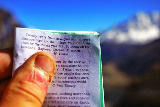
I got a shout out from SUMMIT STONES & ADVENTURE MUSINGS:
My friend Rick McCharles of Best Hike has been a wonderful Partner In Placing for many years now. …
Bourke’s Luck Potholes
EVERYONE drives South Africa’s Blyde canyon highways carefully, dodging potholes. Yet EVERYONE stops at the Bourke’s Luck Potholes:
Sustained kolks in the Treur River’s plunge pools have eroded a number of cylindrical potholes or giant’s kettles, which can be viewed from the crags above. It was named after a local prospector, Tom Bourke, who predicted the presence of gold, though he found none himself. The pedestrian bridges connect the various overlooks of the potholes and the gorge downstream. …

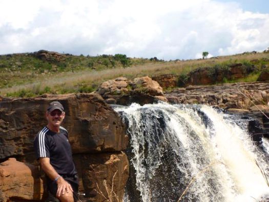

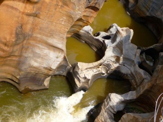
It really is a well done tourist attraction.
Parking permit required. ($5)
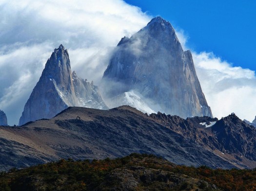
Fitzroy and Cerro Torre
My hiking partner from Manaslu last year is in Patagonia.
He got some (rare) good weather at Fitzroy.
Mike Howarth:
Riding in to El Chalten there before me stood the Fitzroy massif bathed in sunlight. Monte Fitzroy, Cerro Torre, Poincenot, Inominata and many more …
After two days of fine weather, clear views of Fitzroy and Cerro Torre my business here is done. Autumn begins and its time to head north and begin the next leg of the journey; The Carretera Austral.
El Chalten: Fickle Weather and Enchanting Granite
personal BEST hikes
Brandon Esparza of Florida Outdoors RV polled experts in the outdoors to put together a list of their FAVE hikes:
El Pinacate y Gran Desierto de Altar Biosphere Reserve, Sonora, MexicoShining Rock Wilderness in Pisgah National Forest of Western North Carolina
Little-Big Econ State Forest in Geneva, Florida
Algonquin Provincial Park, Ontario
Gasterntal Valley, Switzerland
Great Sand Dunes National Park, Colorado
Florida Trail, Ocala National Forest, Florida
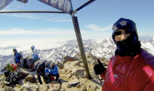
High Atlas Mountains, Morocco
Blue Ridge Mountains
Shenandoah National Park, Virginia
Smoky Mountain National Park, North Carolina
West Coast Trail, BC
High Country Pathway, Michigan
Swiftcurrent Pass, Glacier National Park, Montana
Hallett Peak, Colorado
Cottonwood Lakes, Eastern Sierra, California
Rainbow Springs, Ocala National Forest
Wheeler Geologic Area, La Garita Wilderness, Colorado
Experts Weigh in on Their Favorite Camping/Hiking Spots!
Click through for details.
perceptions of HIKING
Posted by Andrew McManama on Facebook.
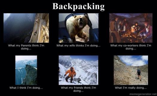
Driving to the trailhead is far more dangerous than walking the trail, of course.
On the other hand, I fell down while walking without a pack the other day. Cut up and bruised my hands. 😦
Mt. Nimbus Via Ferrata
Have you heard of this adventure in Canada?
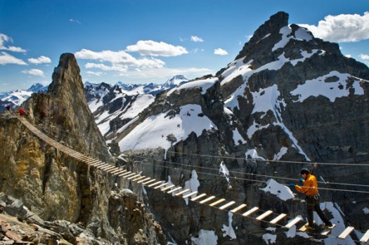
Rick Mercer travels to the Purcell Mountains in British Columbia to climb Mt. Nimbus Via Ferrata. Watch the FUNNY video.
That would cost you about $2000 with CMH heli-hiking.
Dientes de Navarino Circuit
Dientes de Navarino are a mountain range in Navarino Island, Chile, located just south of Puerto Williams, along the Beagle Channel coast.
The Dientes Circuit is recommended as one of the best hikes in the world.
Also known as:
* Isla Navarino Circuit
* Circuito Dientes de Navarino
* the teeth of Navarino

Charming, entertaining and original, be sure to watch this video trip report by rlciq from Brazil before heading to Patagonia for the Teeth of the Navarino.
This is the true last trek on earth! High mountain on low altitude. Few people. Lots of beavers. Amazing landscapes. No fee. Perfect balance between challenging and fun!
Click PLAY or watch part 1 on Vimeo.
Click PLAY or watch part 2 on Vimeo.
Check out Dientes information page.
new eBook – trek Everest Base Camp
In collaboration with Frank and Sue Wall, Jay Reilly announces a new eBook. Jay lived in Nepal for 6 years, a professional trekking and mountain guide:
It includes a comprehensive guide to frequently asked questions, the best time of the year to go, your health and required first aid supplies, training to get prepared for the trek, equipment you’ll need and where to find it, and comprehensive track notes.
This 70 plus page downloadable PDF eBook is written with the first time visitor to Nepal in mind. It is packed with inside knowledge and tips to help you plan and execute your trip.
Best still – as it is a downloadable eBook you can have it today (with no need for delivery fees) It’s just $A15.99.
Our Hiking Blog – How to trek to Everest Base Camp – a independent guide book
That’s the best link for details on the book.
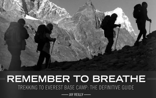
Click to see a sample.
I have a review copy. It looks great.
In 2014 I prefer eBooks to hard copies. On my laptop, eBooks are a dream — so easy to search.
On my phone, on the trail, it’s a little more challenging to find exactly what I want, when I want it.
Having trekked to Everest Base Camp a few years ago, carrying two heavy guidebooks, I wish I’d had this resource instead.
One point of confusion in the book:
“The TIMS Card can only be issued by a trekking agency that is registered with TAAN (Trekking Agents Association Nepal)
Along with the TIMS Card, you are required to take a Nepalese “guide” with you. The cost of this should be about 1200 NRP per day for the guide. This includes his food. Be sure to negotiate this before you pay any money.”
Only 6 months ago you could purchase a TIMS card for yourself at the Tourism Board office in Kathmandu. It was not necessary to have a guide to go to Everest.
Has something changed?
Jay’s reply:
Nothing has changed, you can still get a TIMS Card at the Ministry for Tourism if you wish. It’s a different card than the one issued by trek agents, that registers you as an ‘independant’ trekker, not requiring a guide. However-not all the check post guys know this and to them you are a trekker without a guide, and in their eyes, doing something wrong. I’ve heard of people being turned back even though they have the Ministry issued TIMS. Buyer beware…
The guide suggests Rabies shots. I’ve not encountered many trekkers who have had them. Cyclists generally do, as they are at far greater risk of being nipped at by guard dogs.
Jay:
Regarding rabies, I never personally got the vaccination, but some doctors recommend people do. Bottom line-consult a doctor and make your descisions based upon professional medical advice.
I’m planning on Nepal again Oct/Nov 2014.
Giant’s Cup Trail, Drakensberg – day 3
Trip report by site editor Rick McCharles.
Easy day. Only 12km to finish the Giant’s Cup Trail at Bushman’s Nek Hut.
I departed Swiman hut late.
Glorious. Glorious.
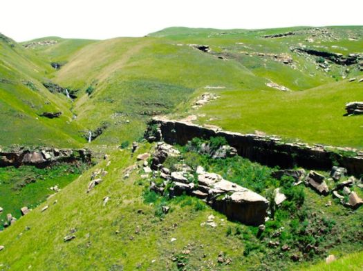
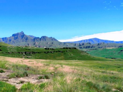
Skies were clear. The landscape empty aside from me. And THIS GUY.
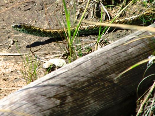
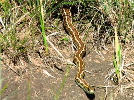
I later did some research … but couldn’t confirm the species. Leave a comment if you know.
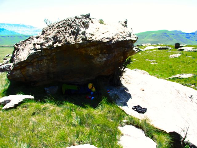
Again, each time I got saw some significant shade, I cooled off.
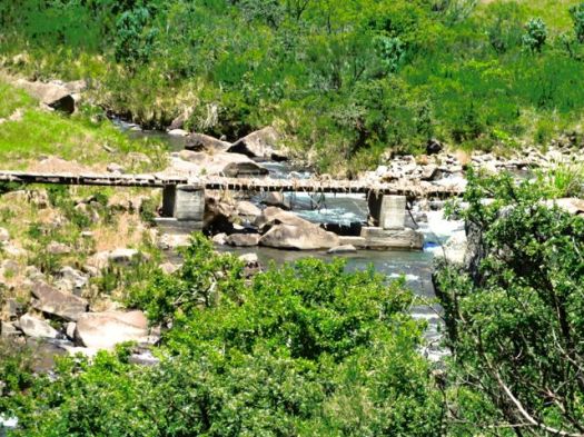
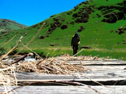
This crude wooden bridge had obviously flooded recently.
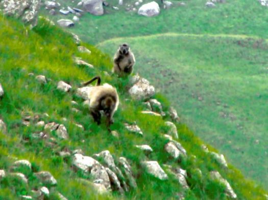
BABOONS!
This afternoon I saw 4-5 different troops of Baboons in the distance.
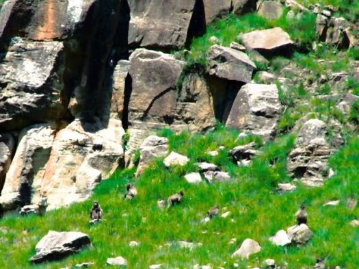
This was my best photo.
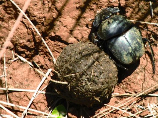
DUNG BEETLE! … Actually, there are plenty of Dung beetles on this trail.
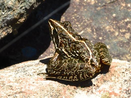
Frog.
I had great views of a big herd of Eland.
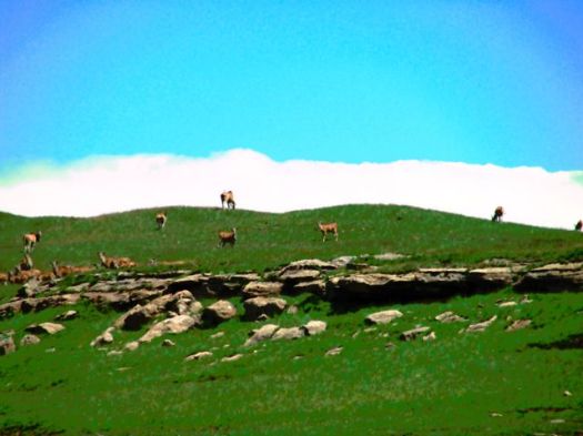
And again saw grey rhebok.
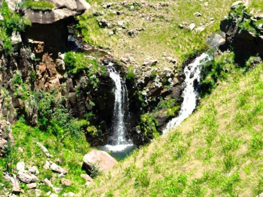
South Africa is a hot, dry country. But there’s no shortage of water in the Drakensberg during the rainy season.
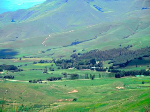
Civilization.
I’d held on to a Summit Stone for the entire trip, waiting on some “highlight” of the Giant’s Cups Trail.
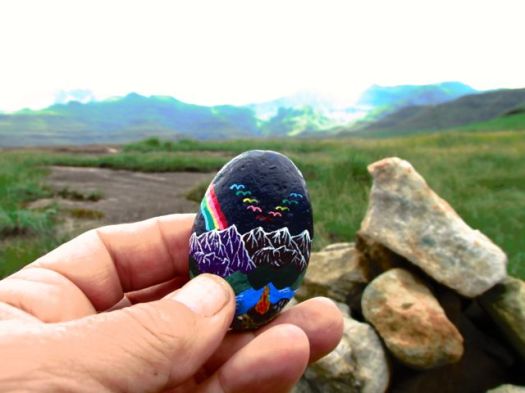 But there was no one highlight. The Giant’s Cup is all good. I left this one in the final cairn before dropping down to Bushman’s Nek.
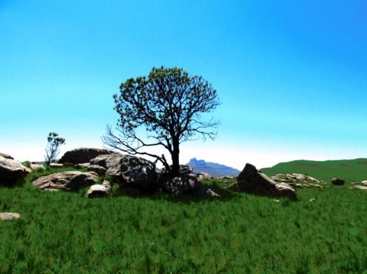
I saw a sign pointing to Bushman’s Nek hut, but ignored it as the trail looked faint.
Instead I stayed on the trail more trodden.
Turned out that took me to the KZN Wildlife office. I had to backtrack about 1km in the rain.
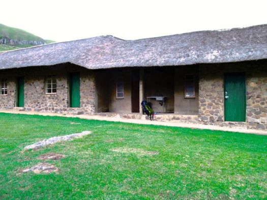
Alone again. Bushman’s Nek hut is in a very pretty location.
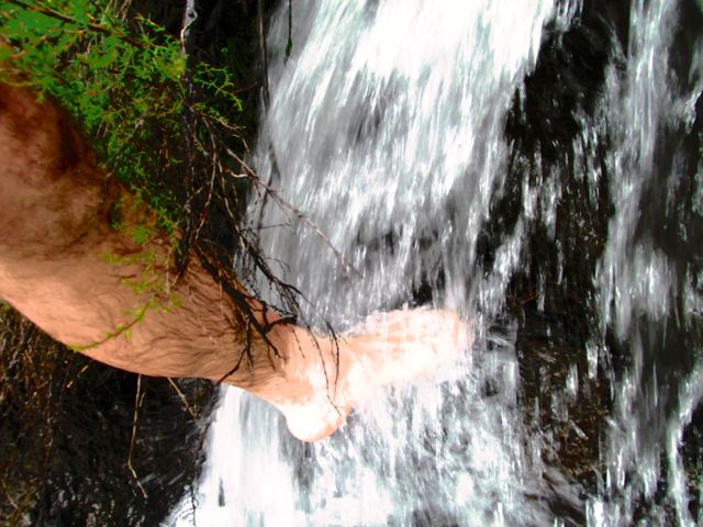
It was nice to wash my dusty, hot feed in the nearby waterfall.
Rather than sleep under a roof, I again set up my tent under cover. And watched the night fall.
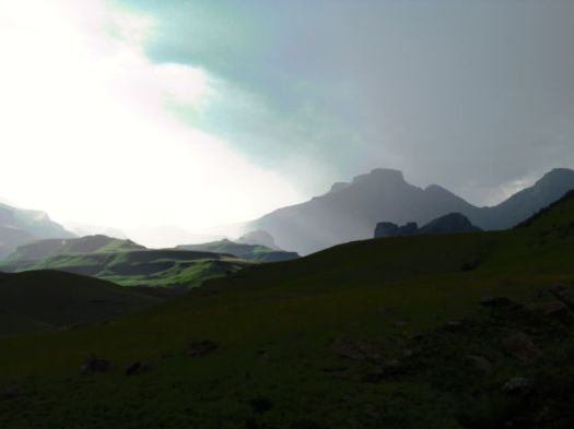
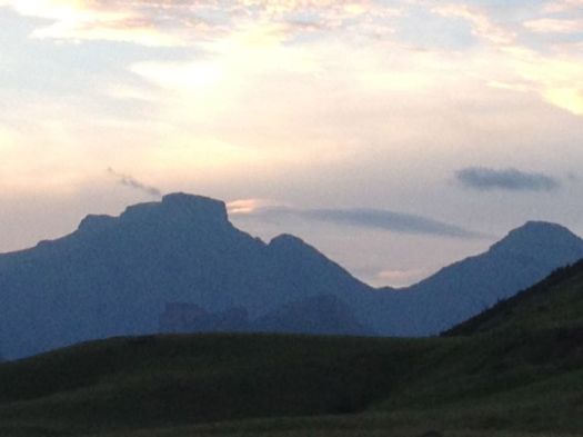
more photos from this day
___
Logistics
Next morning the KZN Wildlife office called a bush taxi from a local hotel. It took me to Underberg town for about $50 (expensive).
I was there for about 4hrs waiting for the mini-bus to Pietermaritzburg to fill. Though tourists are often advised not to take the local transport, in Underberg they are fairly used to shuttling hikers out from the Giant’s Cup.
You might consider starting at Bushman’s Nek and hiking to Sani Backpackers or Sani Pass Hotel. Travel logistics would be easier and cheaper if you don’t have your own vehicle.
If you wanted to hire a guide, I’d recommend booking through Drakensberg Adventures.
related:
• EKZ’s Giant’s Cup Trail page
• my hiking guidebook – Cicerone Walking in the Drakensberg
Giant’s Cup Trail, Drakensberg – day 2
Trip report by site editor Rick McCharles.
Between low clouds, the morning dawned blue, sunny, HOT.
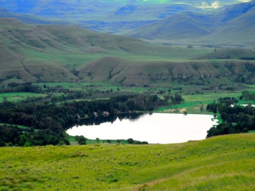
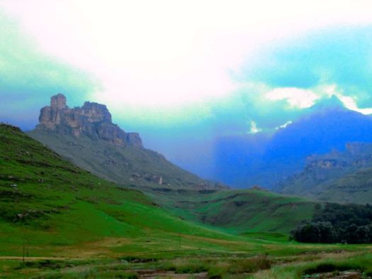
This was the prettiest of the three days.
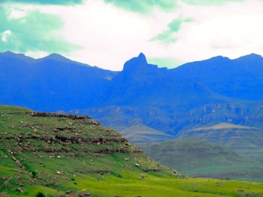
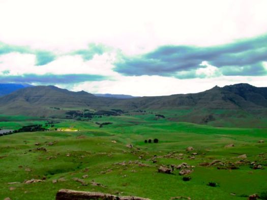
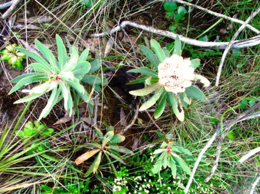
This day I again saw a “wild dog” with one or two young ones. Unfortunately I wasn’t quick enough to zoom the camera in time.
Locals told me they were most likely hyena.
I covered up from the strong sun.
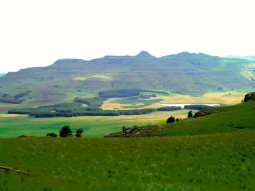
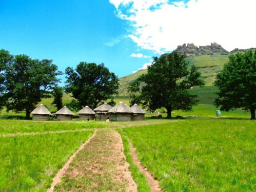
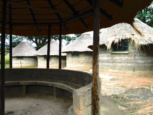
Arriving Winterhoek hut under the trees.
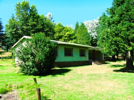
Hikers are advised to lock everything up against baboon and eland.
I had lunch here, in the shade.
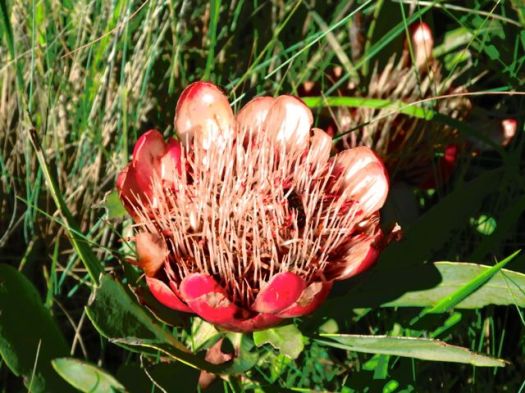
My biggest problem on the Giant’s Cup was the strong January sun. Locals thought I was crazy to be hiking in the hot, rainy season. I rested at as many shady spots as possible.
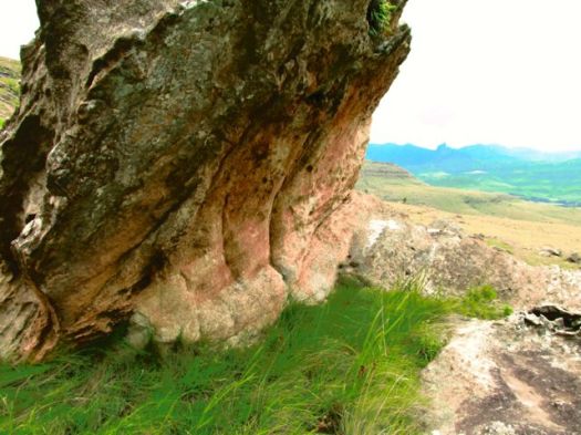
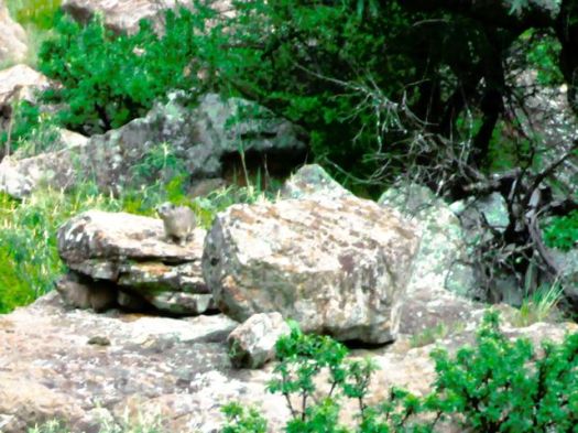
I was surprised not to see more Dassie. This was one of the few I spotted.
Late afternoon I slapped at something biting me under my pants. Turned out I’d killed a tic, the first that had ever bitten me. Contrary to common wisdom, I’d kicked it. After that I was quite ‘tic vigilant’. They can carry disease.
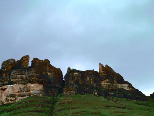
I arrived Swiman hut at dusk, quite exhausted. Too exhausted to set up my tent, I crashed into a bunk. After I enjoyed a HOT SHOWER.
Again I was the only hiker in the hut that night.
I did see a caretaker next morning on my way out.
more photos from this day

