
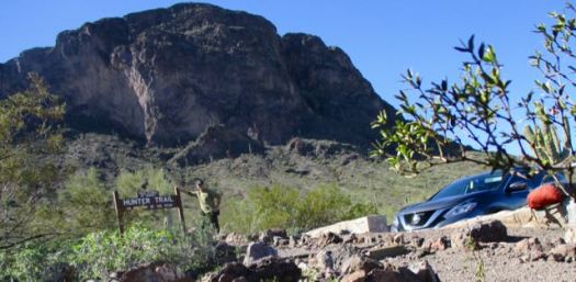
trip report by site editor Rick McCharles
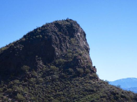
Like many others driving between Phoenix and Tuscon, I’d always wanted to climb this unique volcanic plug.

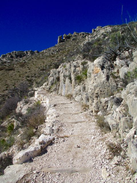
It looks challenging, but I found it not too bad.
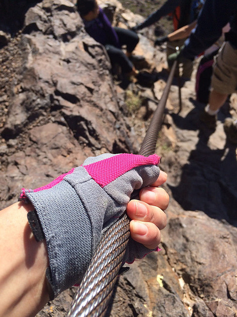
It’s not via ferrata, but there are cables and other assistance everywhere needed.
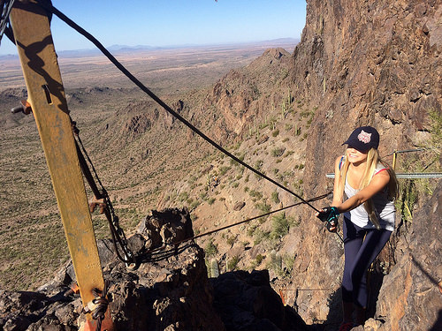
Bring gloves.
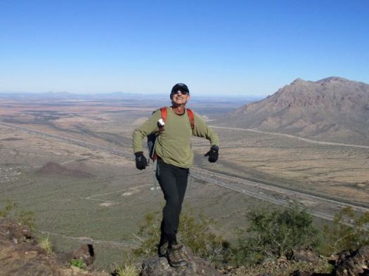
As a former gymnast, I was certainly overconfident on arrival at the trailhead.
I’d already embarrassed myself pronouncing the name of the peak as Pikachu. That’s wrong.

Though one hiker cried 4 times getting up and down, I found it fun.
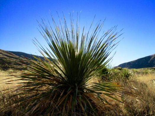
I love the giant, individually unique saguaro cactus.
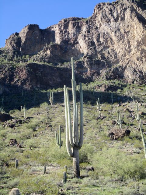
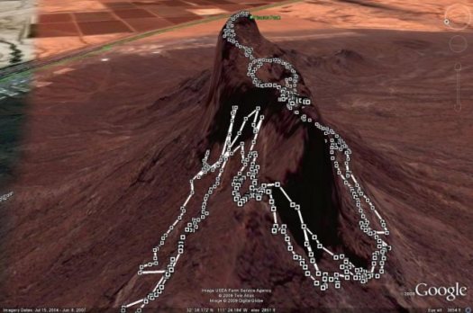
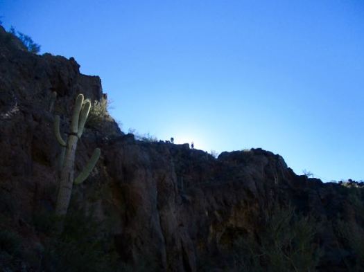
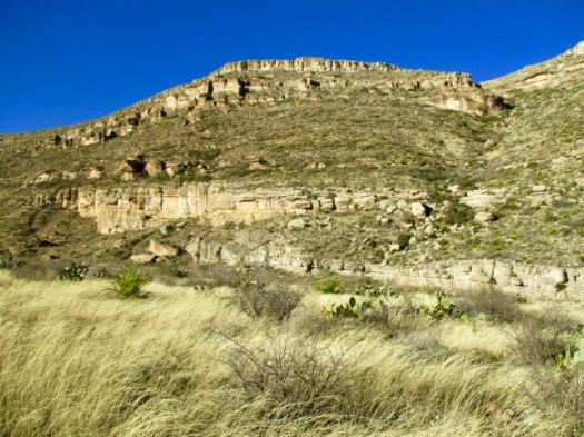
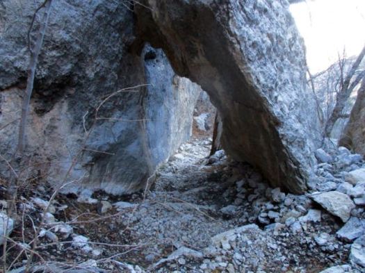
On the way up it’s difficult to imagine there’s actually a hiking route.

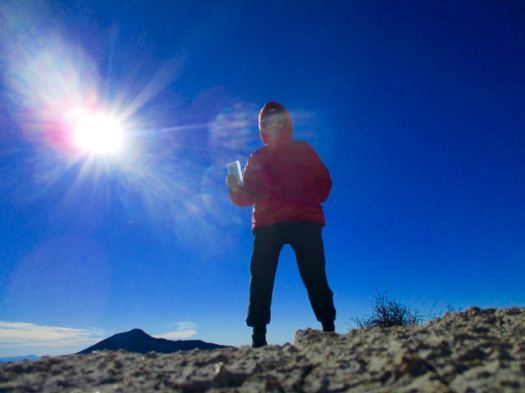
This beautiful day attracted many to the peak. Everyone made it to the top so far as I could see. Myself included.
Certain birds and animals make a good living waiting on lunch crumbs here.

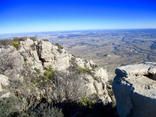
The vista from the top is not all that spectacular.

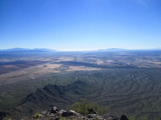
I made a sidetrip to a smaller peak. Here’s the vista looking back to the summit.
Still, Hunter Trail to Picacho Peak is unique and interesting enough to be added to our list of best hikes in North America.
If you have two vehicles consider climbing up via Hunter Trail, returning via Sunset Trail.
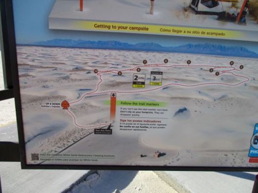

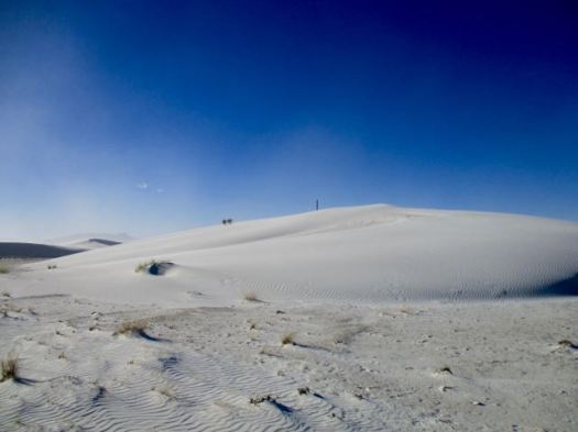


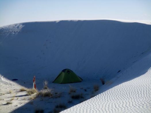


 I checked out the campsites. Too exposed. It was very, very windy.


 Kurt Repanshek posted a comprehensive overview: