trip report by site editor Rick McCharles
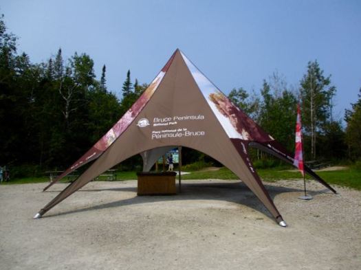
Bruce Peninsula National Park was busy, even in September.
Still Canada 150. All National Parks free in 2017.

Having driven up from Toronto it was 3:30pm before I went to book a backcountry campsite.
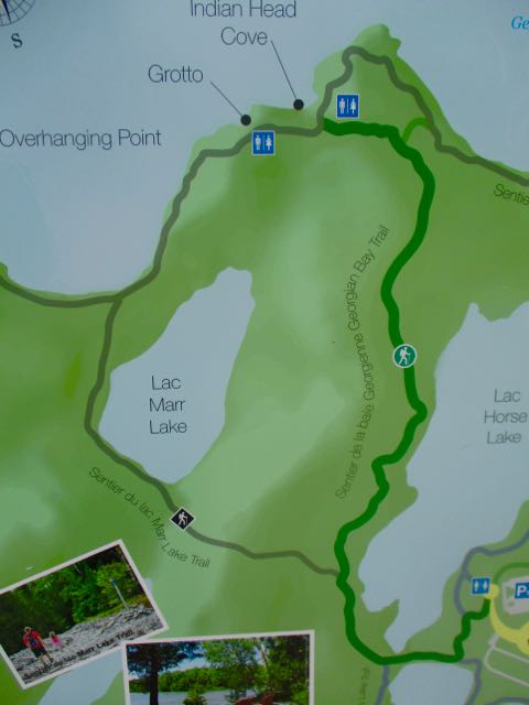
Stormhaven was full. I could book High Dump … but it there was a chance I couldn’t hike in by dark. The Ranger recommended I access by Crane Lake trailhead.
Instead I drove to Bartley Lake trailhead, a much more scenic approach.
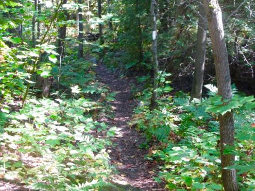
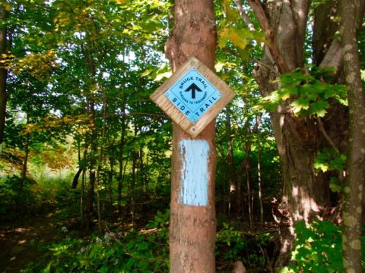
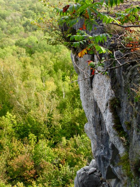
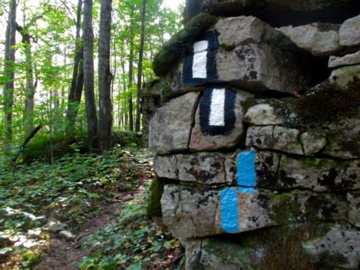
The trailhead sign said 6.7 km to the campground turnoff. But this is considered the “most challenging hiking along the entire length of the Bruce Trail”.
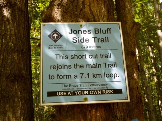
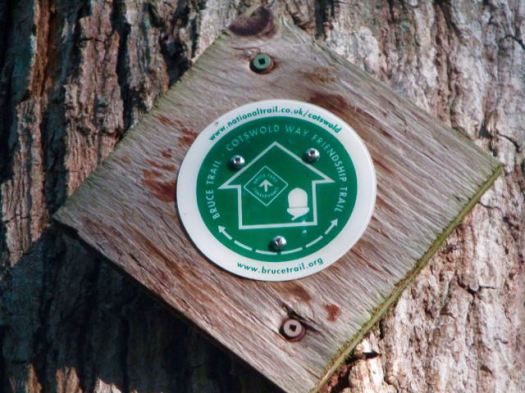
I was immediately confused by these gold on white signs. They appear to be km markers. But are not.

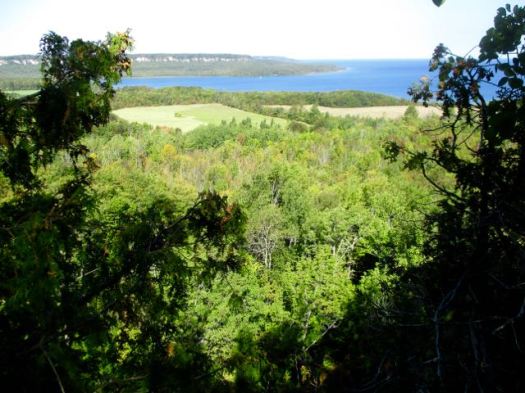
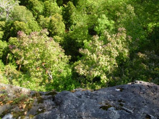
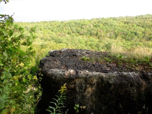
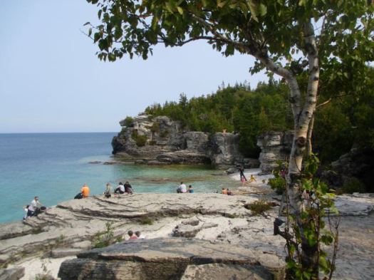
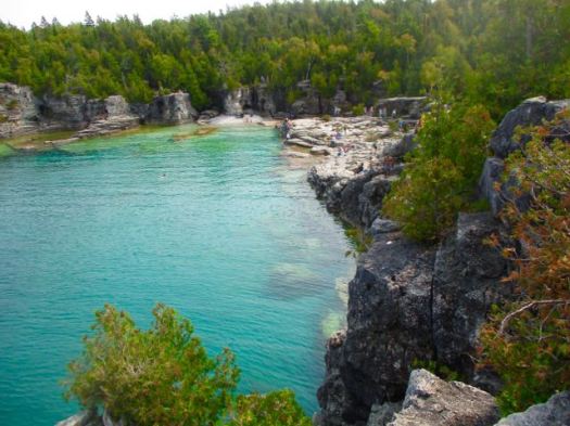
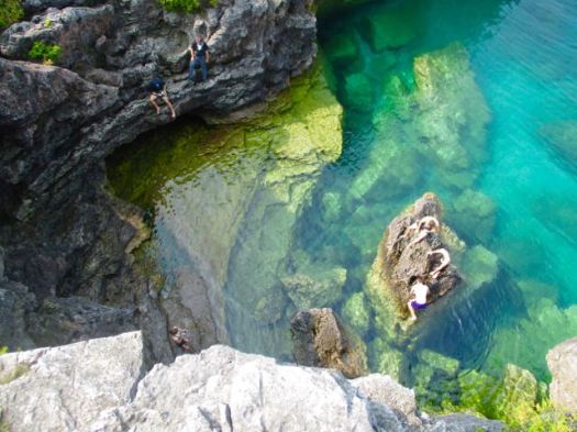
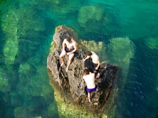
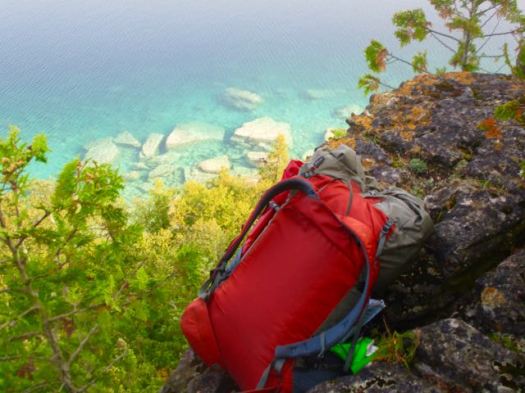
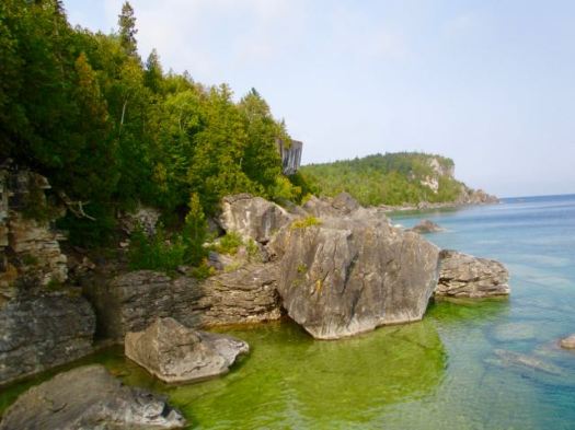
Though rushed I couldn’t resist side tripping over to the first half dozen or so cliff edge viewpoints.


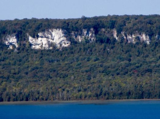
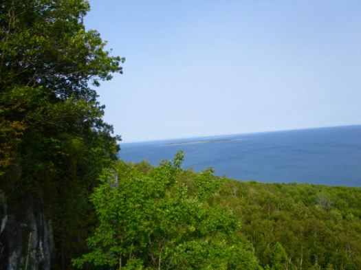
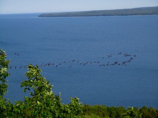
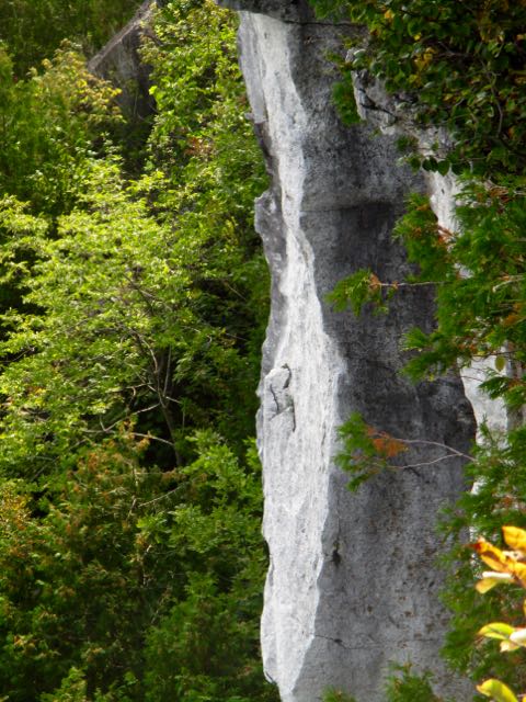
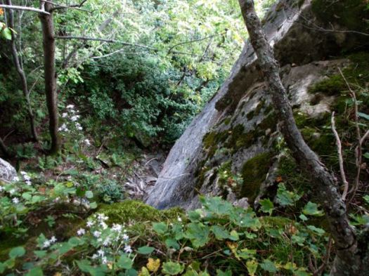
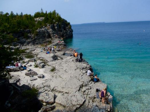
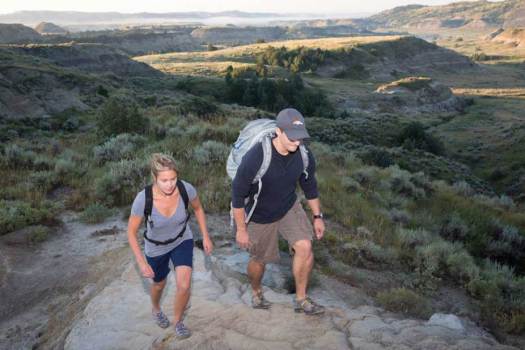
The Bruce follows the top of the Niagara Escarpment.

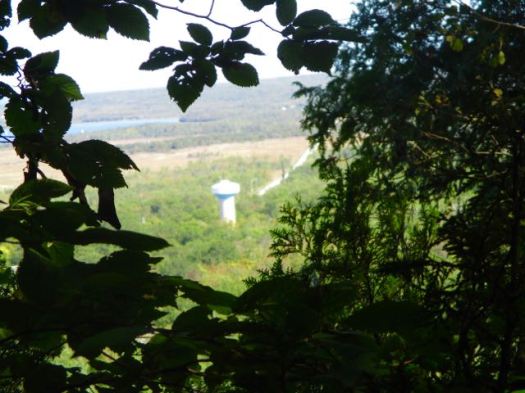
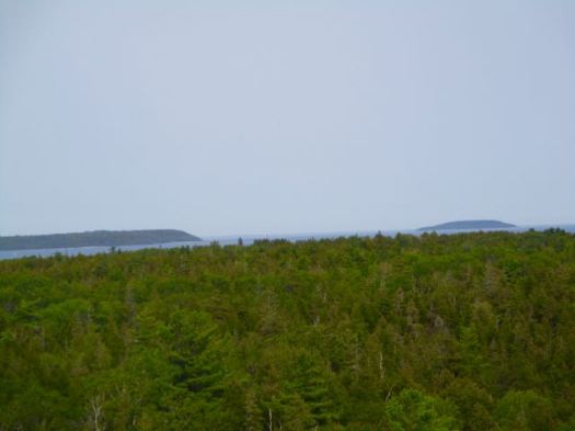
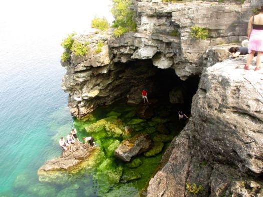
Though the waters look tropical, they are freezing.

The first sign of humanity. A woman collecting water from Georgian Bay. I was nearly there.

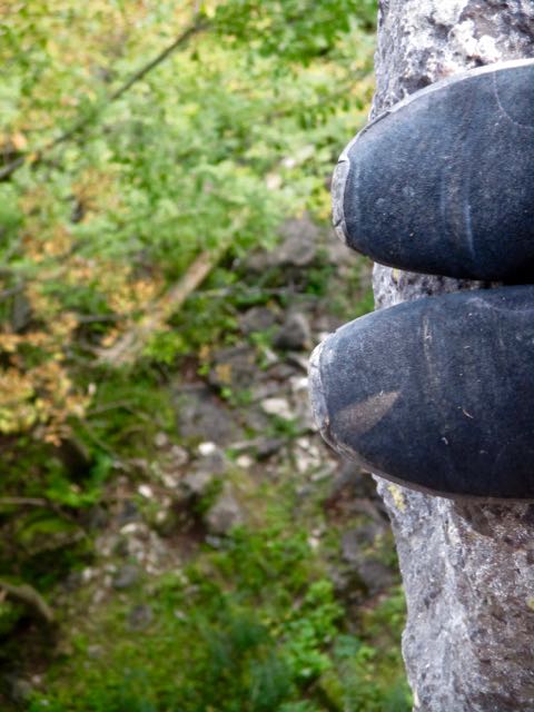
It was still light by the time I lowered myself (on a comfort rope) down to High Dump camp. (It’s rarely easy to climb or descend these cliffs.)
Though I’d paid for (CAD$21.50) a dark inland site I set up my tent instead close to the beach.
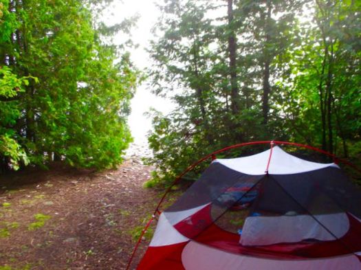
What a gorgeous evening.


Next morning was foggy. But soon cleared.

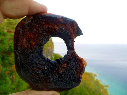
Here’s a properly cooked bagel.
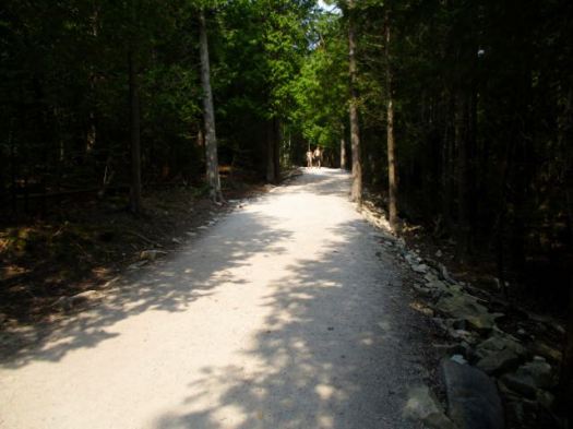
Backtracking to my rent-a-van I was in no rush. The light was better, too, for enjoying the unique scenery.


All in all, a great adventure.

See my photos on Flickr.
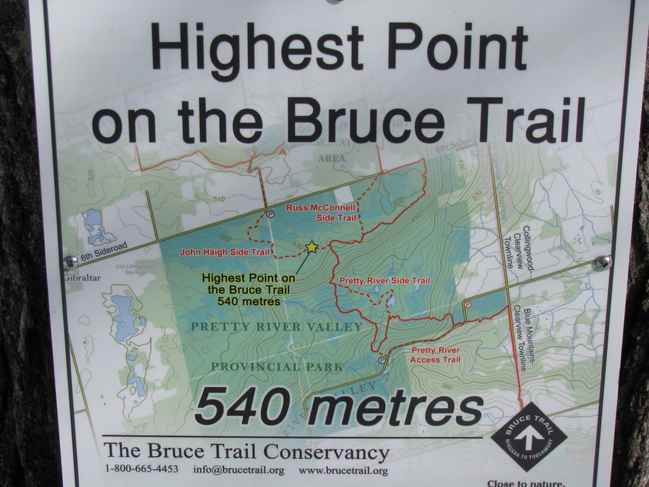
The Bruce Trail is more than 890 km (550 mi) long and there are over 400 km (250 mi) of associated side trails. I spent a week hiking some of the best sections.
related:
• 10 Best Hikes of the Bruce Trail
• Bruce Trail app | Bruce Trail Reference Guide – 29th Ed
• BruceTrail.org