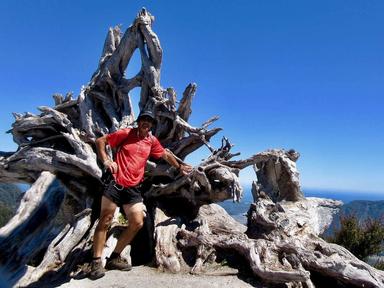
trip report by besthike editor Rick McCharles
Duration: 4 hours round trip.
Distance: 4,8 km round trip.
Return: Same route.
Difficulty: Medium-High
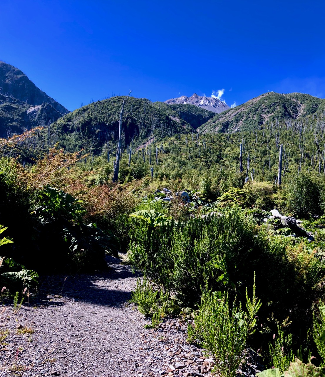
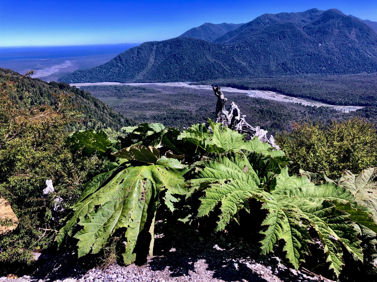
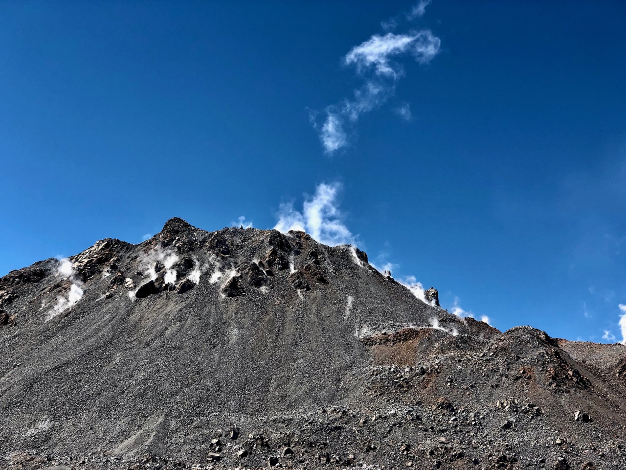
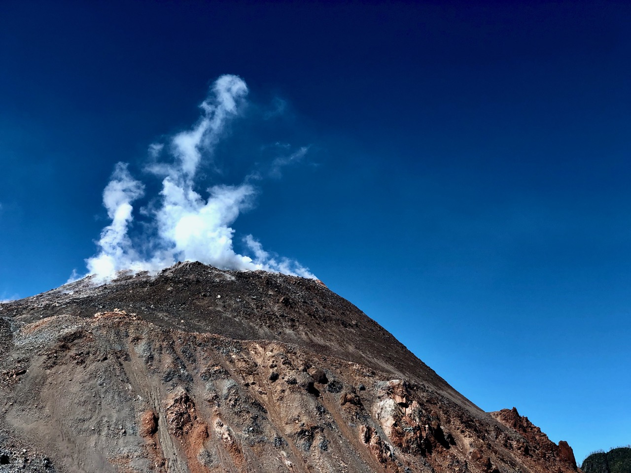
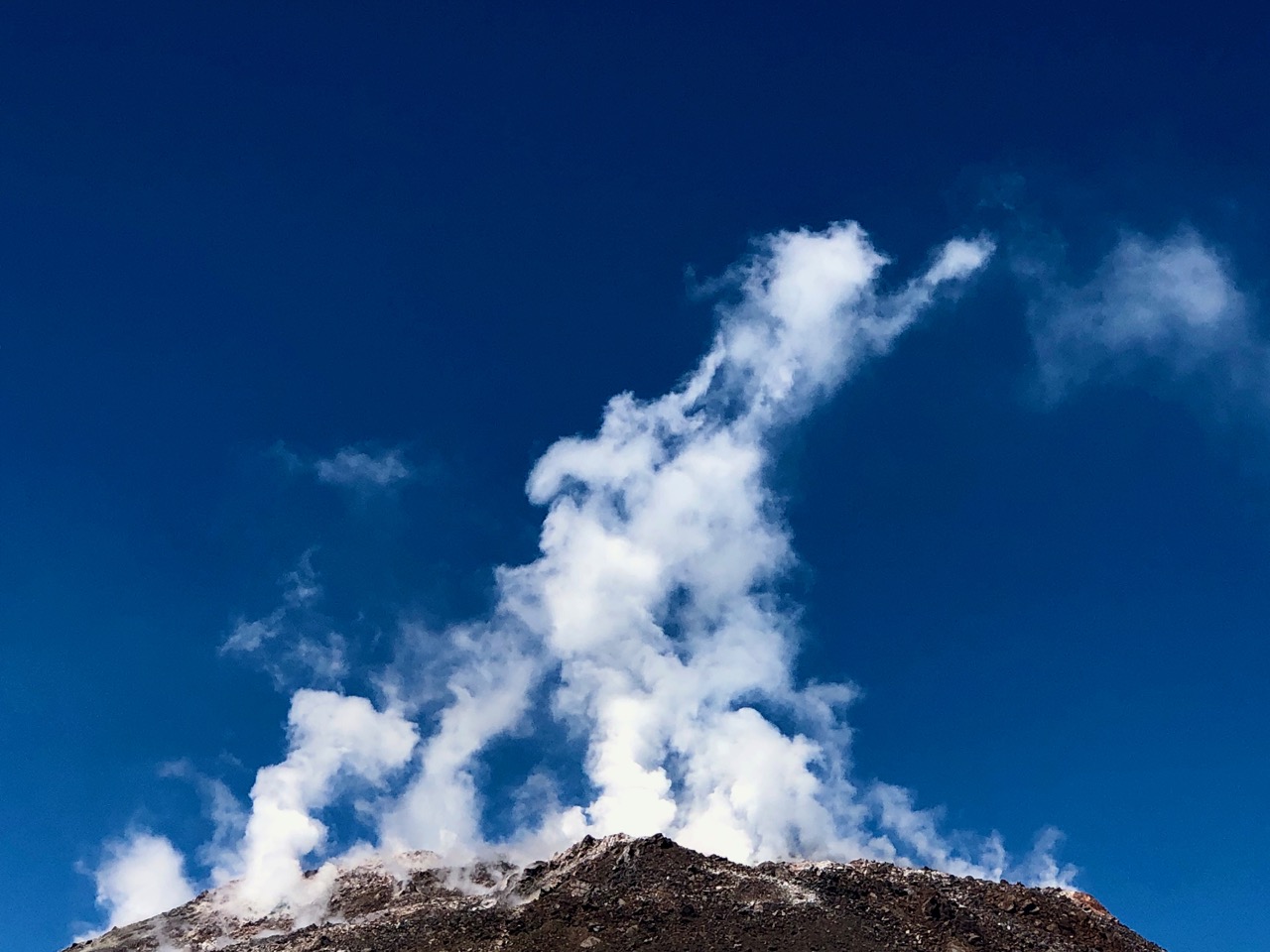
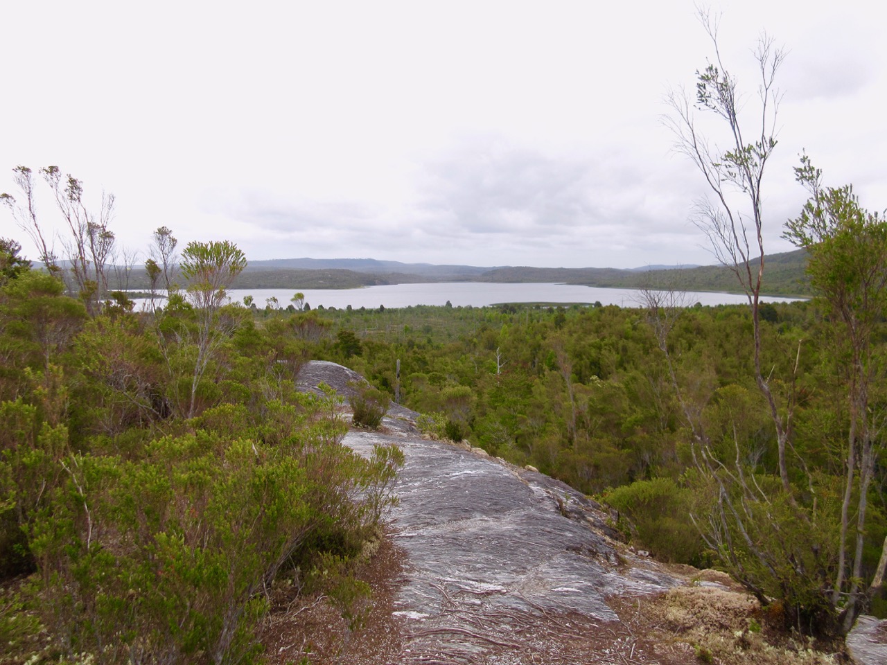
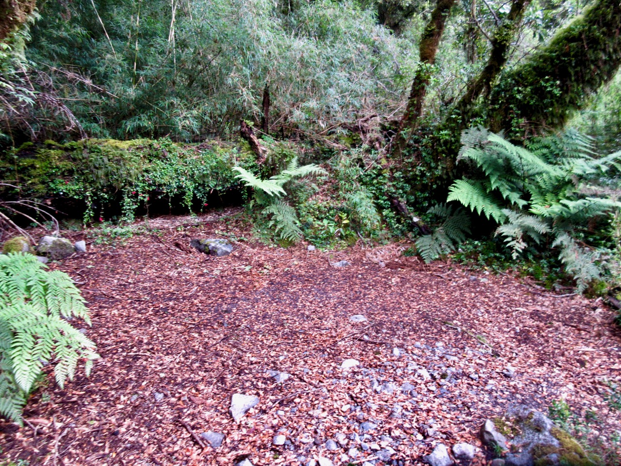
This physically challenging trail climbs through an alerce forest, once burned and now recuperating.
Excellent.
You need your own wheels to get to trailheads like this. I tried to hide my bike in the bush before heading up.

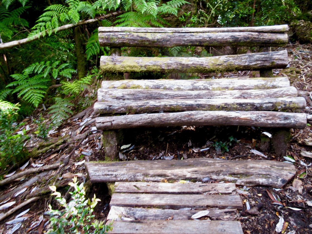
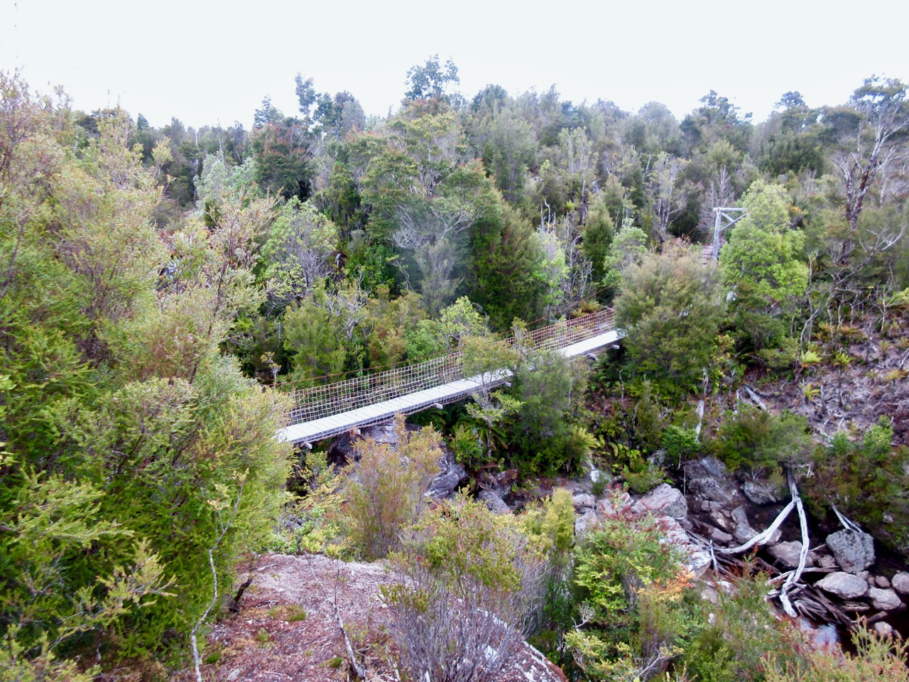
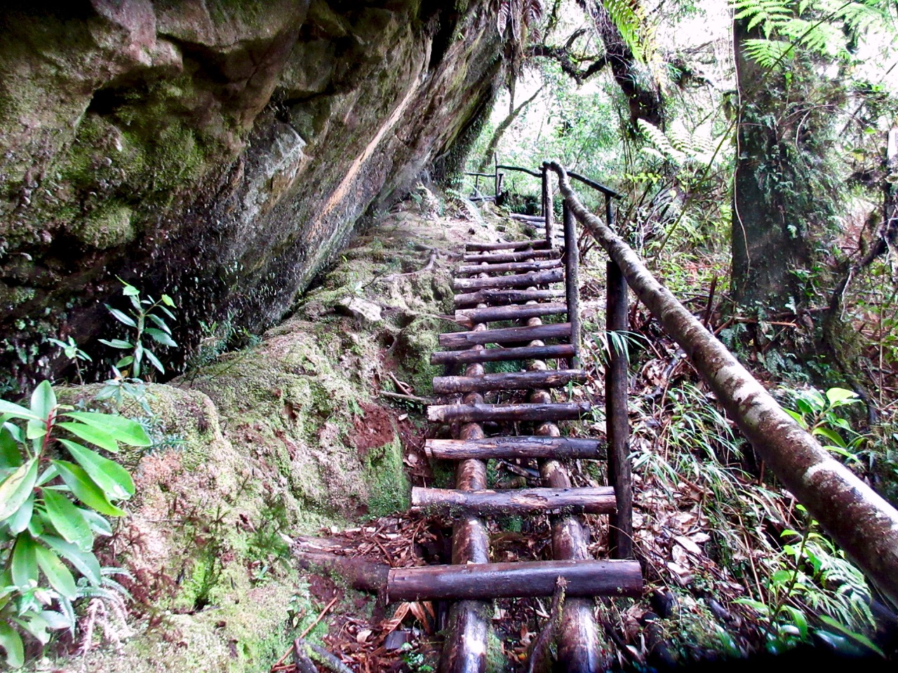
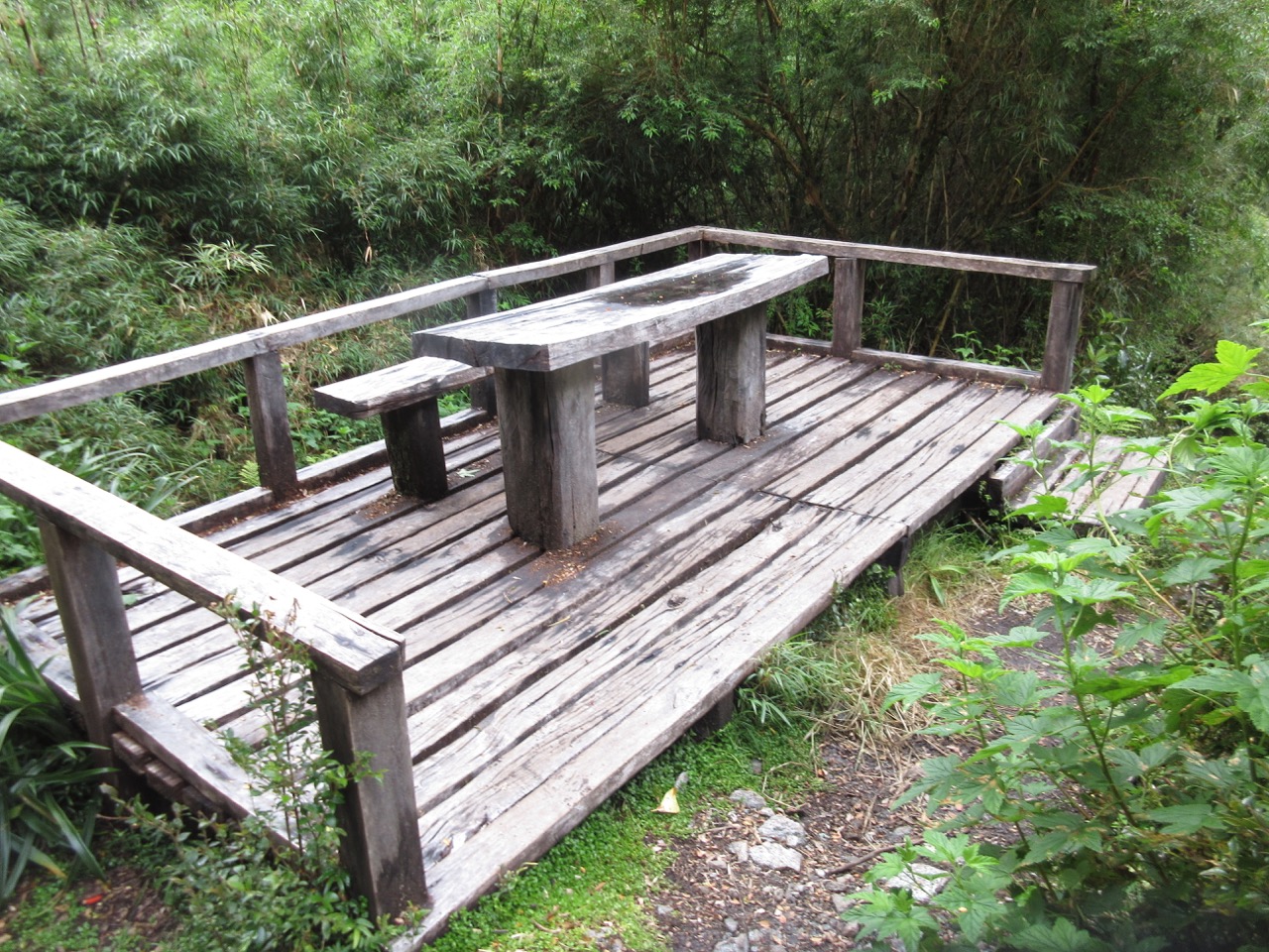
The cost to develop trails is here is high. And these workmen are superb.

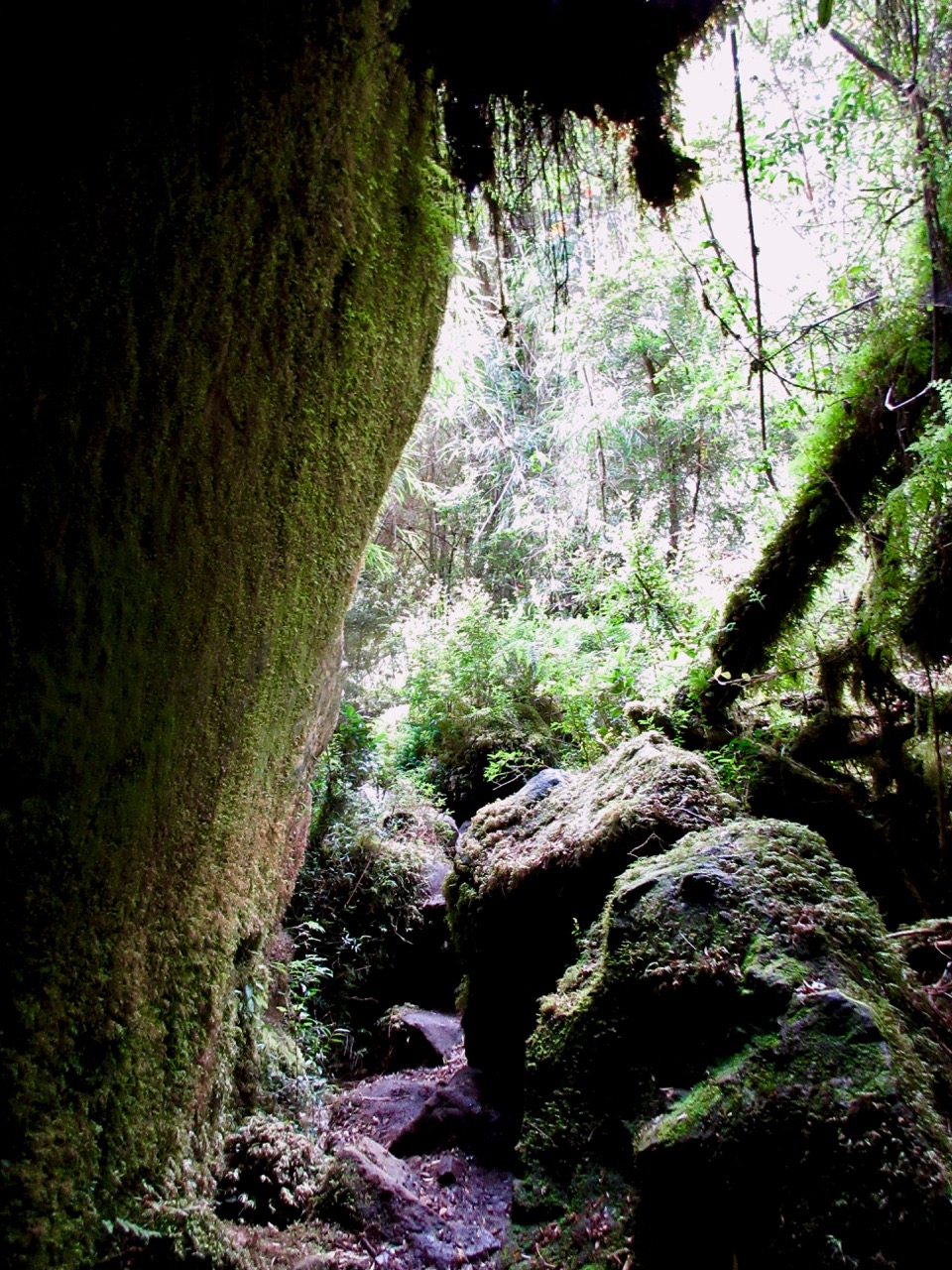
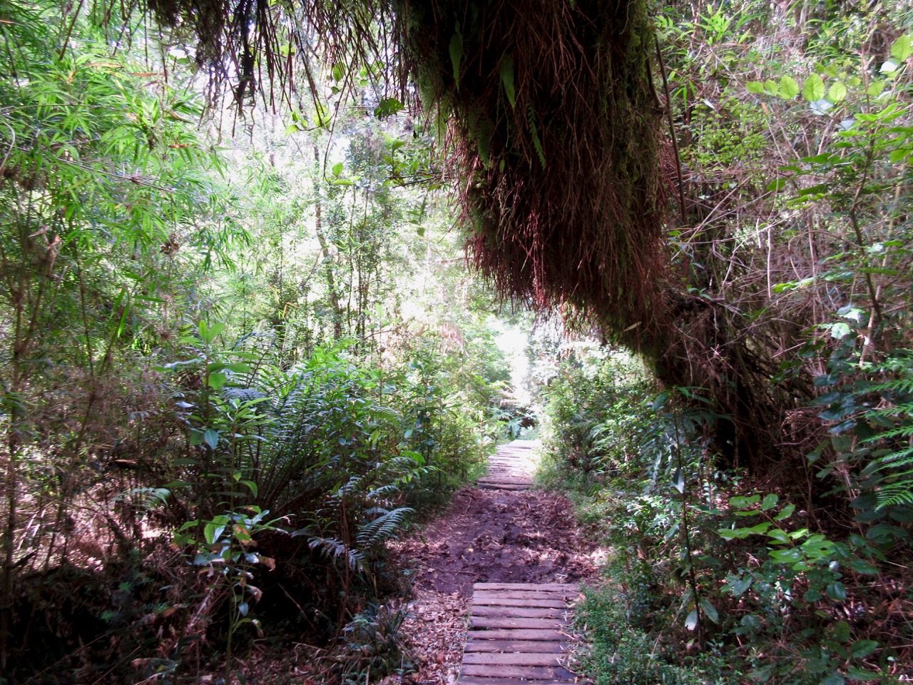
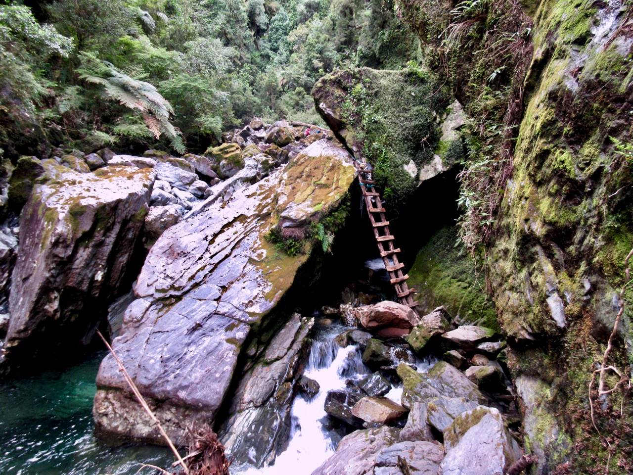
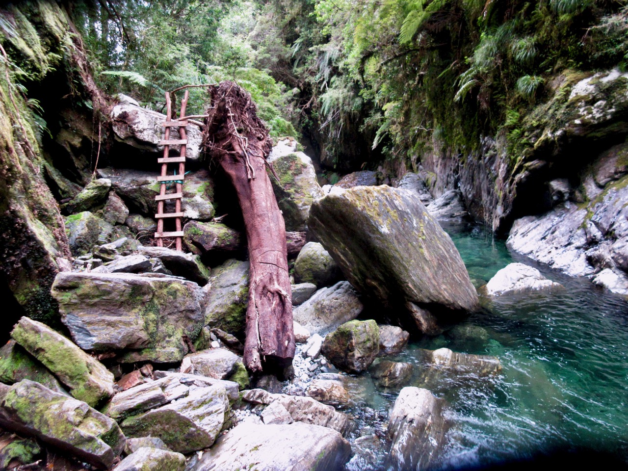
I love how they use local materials to blend in to the pristine environment.

At one point they tunnelled under roots of a tree.

Though shockingly well maintained despite the climate, one railing did rip out on me. Happily I was using it for balance, not support.
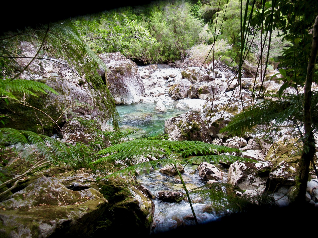
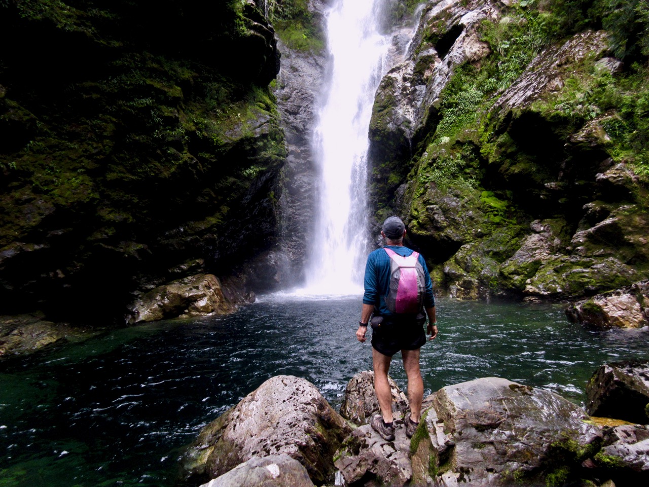
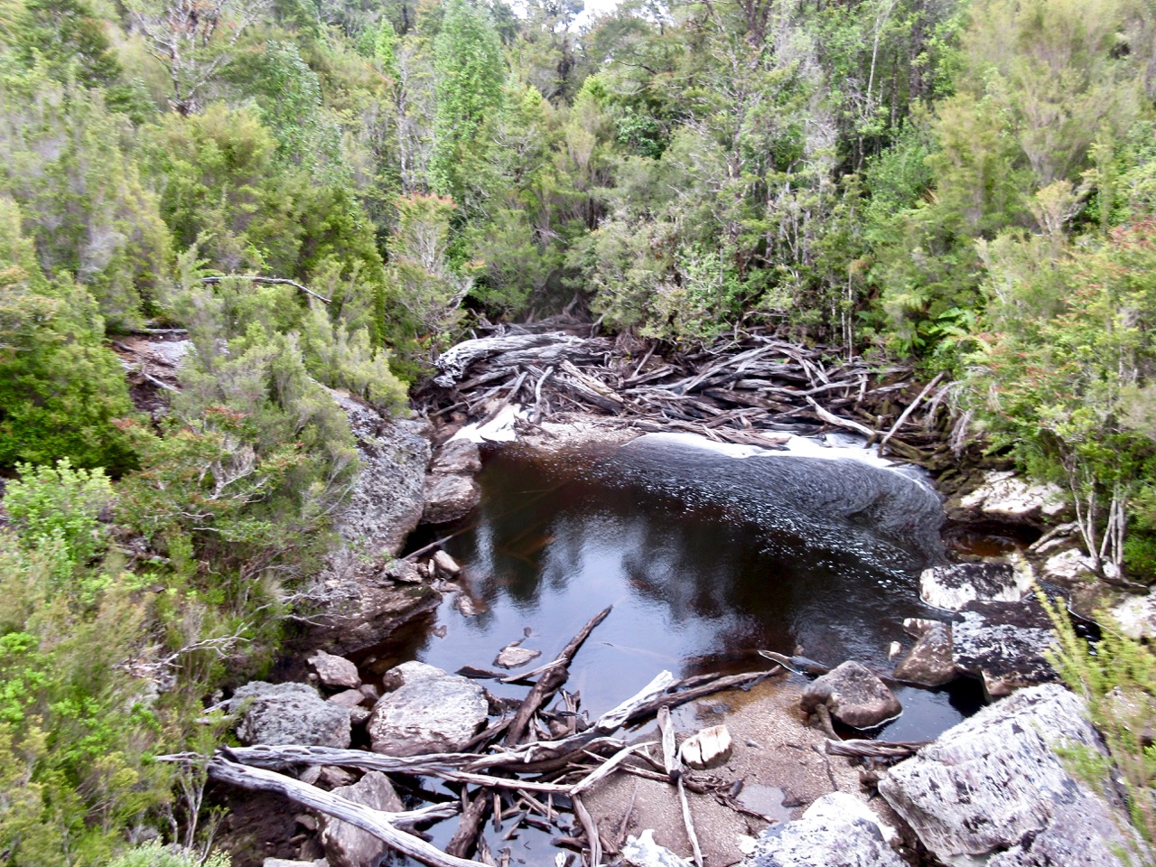
The path generally climbs up near loud waterfalls.

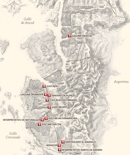
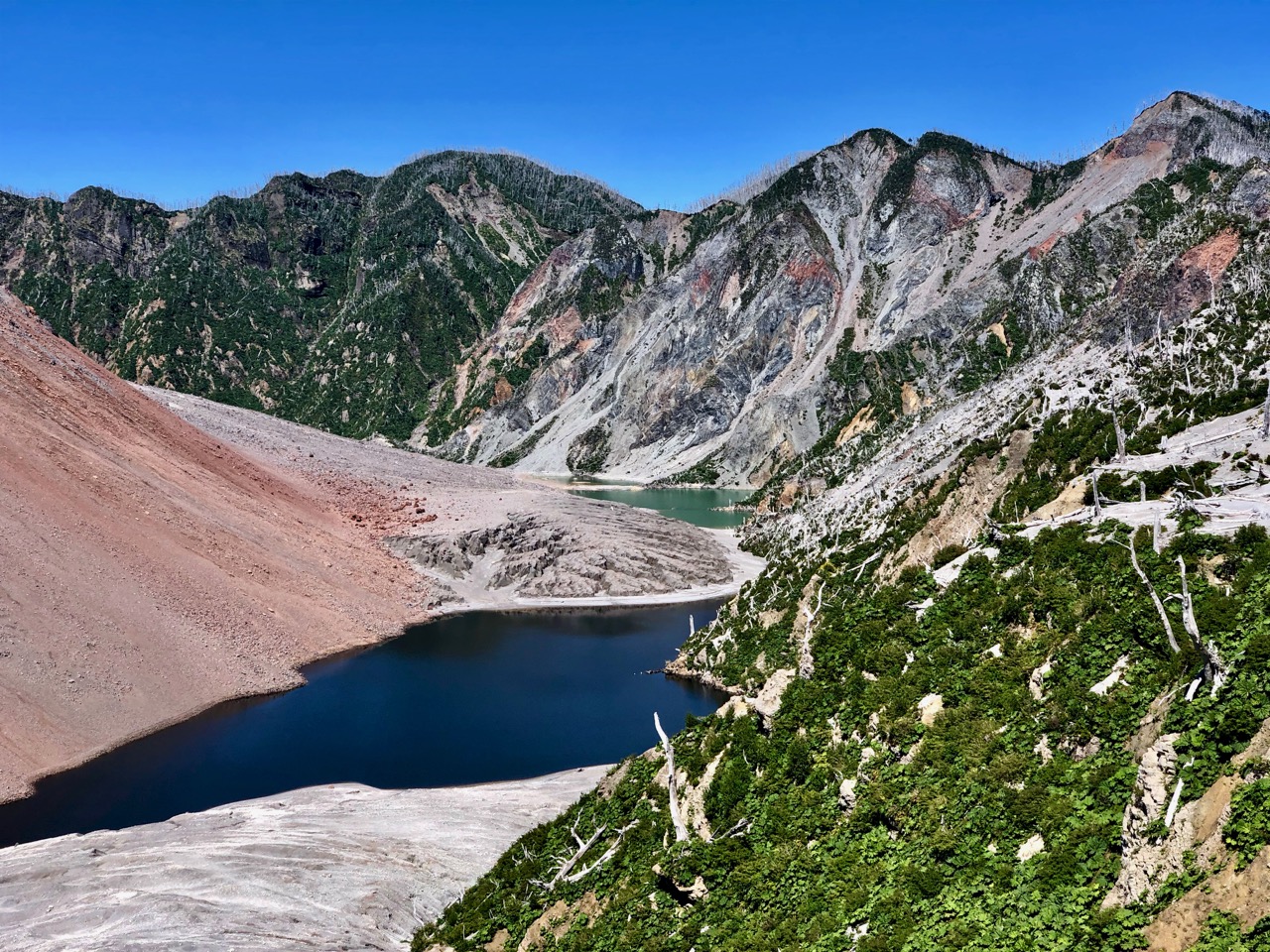
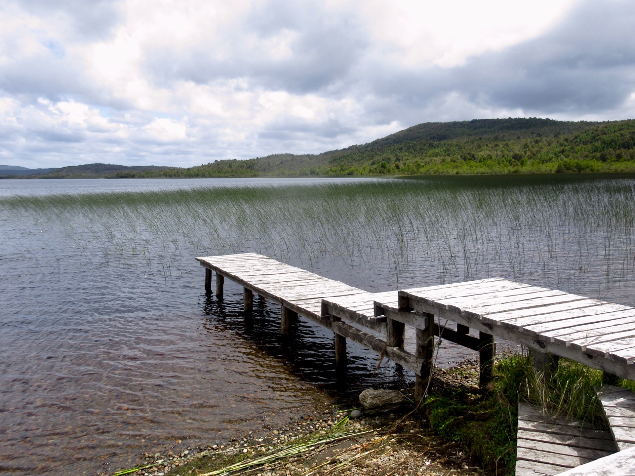
One reason to choose this trail over others is free camping at Laguna Tronador. There are only 2 excellent spots, however.
I recommend the Laguna Tronador trail.