I use an Ursack on every overnight trip — except where a Bear Vault is required.
In fact I have two Ursacks and have carried both on longer trips for greater capacity.
Next time I need to replace one of those I’ll go with the best of their product line, the Ursack AllMitey.
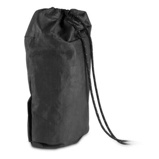
- 10.6 liters
- Spectra (ballistic polyethylene), Kevlar
- 13 ounces
Ursack recommends using an odour-barrier bag as a liner (sold separately).
Click PLAY or watch it in action on YouTube.