trip report by BestHike editor Rick McCharles
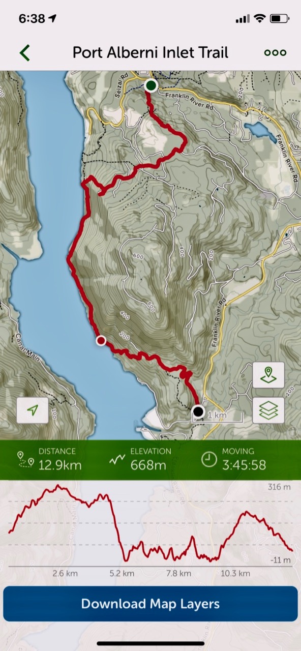
Stage 1 – Port Alberni to China Creek
- 15 kms one way (I stopped at 13 kms)
- 6 hours (I took 4 hrs)
- elevation gain 3937 ft
- Ship Creek Road trailhead to China Creek trailhead
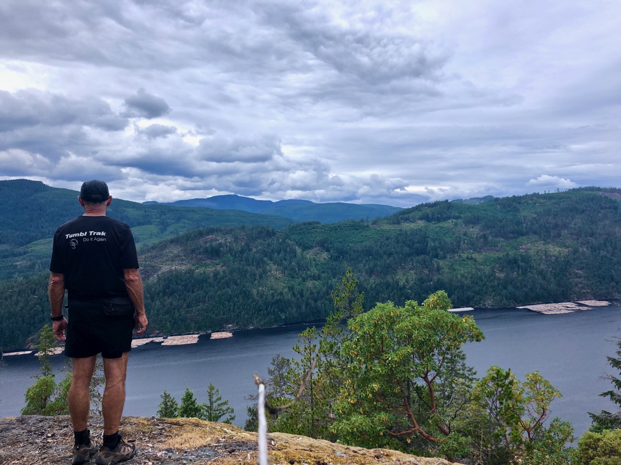
- panorama of the city of Port Alberni
- route options: Follinsbee Creek (easier) or Lookout and the old Copper Mountain Trail (harder)
- moderate difficulty
- plenty of ups and downs
- some fallen logs to scramble
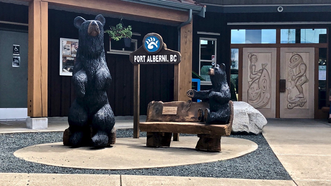
My Dad dropped me at the Port Alberni visitor centre. This was the start of my Pacific N.W. BikePacking tour.
For my first hike, I used the paid version of the AllTrails app. And I needed AllTrails as parts of the trail close to China Creek are overgrown and difficult to find.
Even better is the Relive app. Click PLAY or relive my hike on YouTube.
It was tougher than I expected with non-stop up and downs.
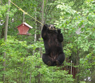
There are many bears in the area. This was the only sign I saw.

In fact, the only animal life of interest was the first Garter Snake I’ve seen this season.

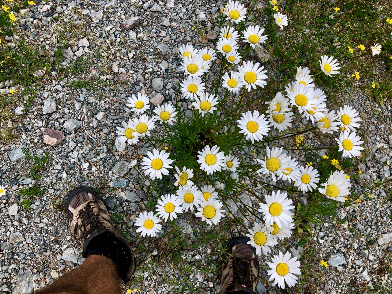
Wild flowers lovely.
This trail is maintained. But the section closer to Port Alberni is in far better shape.

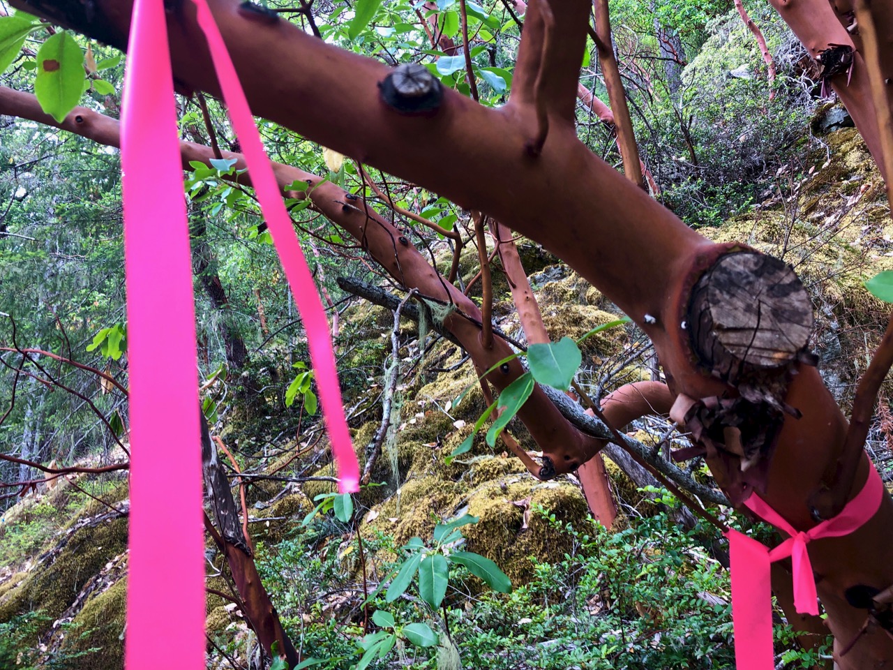
At times you have to rely on flagging tape to find the trail.
One highlight is a vista of Port Alberni from on high.

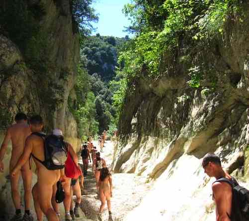
The coastal section is cool. Boom.

All in all, I’d recommend the Alberni Inlet trail.