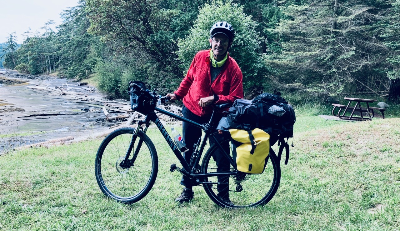
Trip report by BestHike editor Rick McCharles.
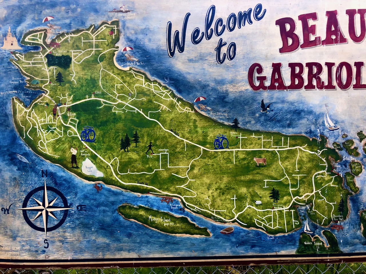
On July 1, 2020 I cycle toured Gabriola Island, the first time I’d been back to the island since I was a kid on family summer vacation.
Gabriola is about 14 kilometres (9 mi) long by 4.2 kilometres (2.6 mi) wide, about the same land mass as Bermuda.
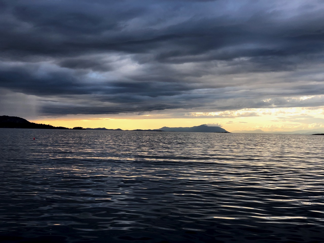
I caught the ferry over from Nanaimo in the early evening.


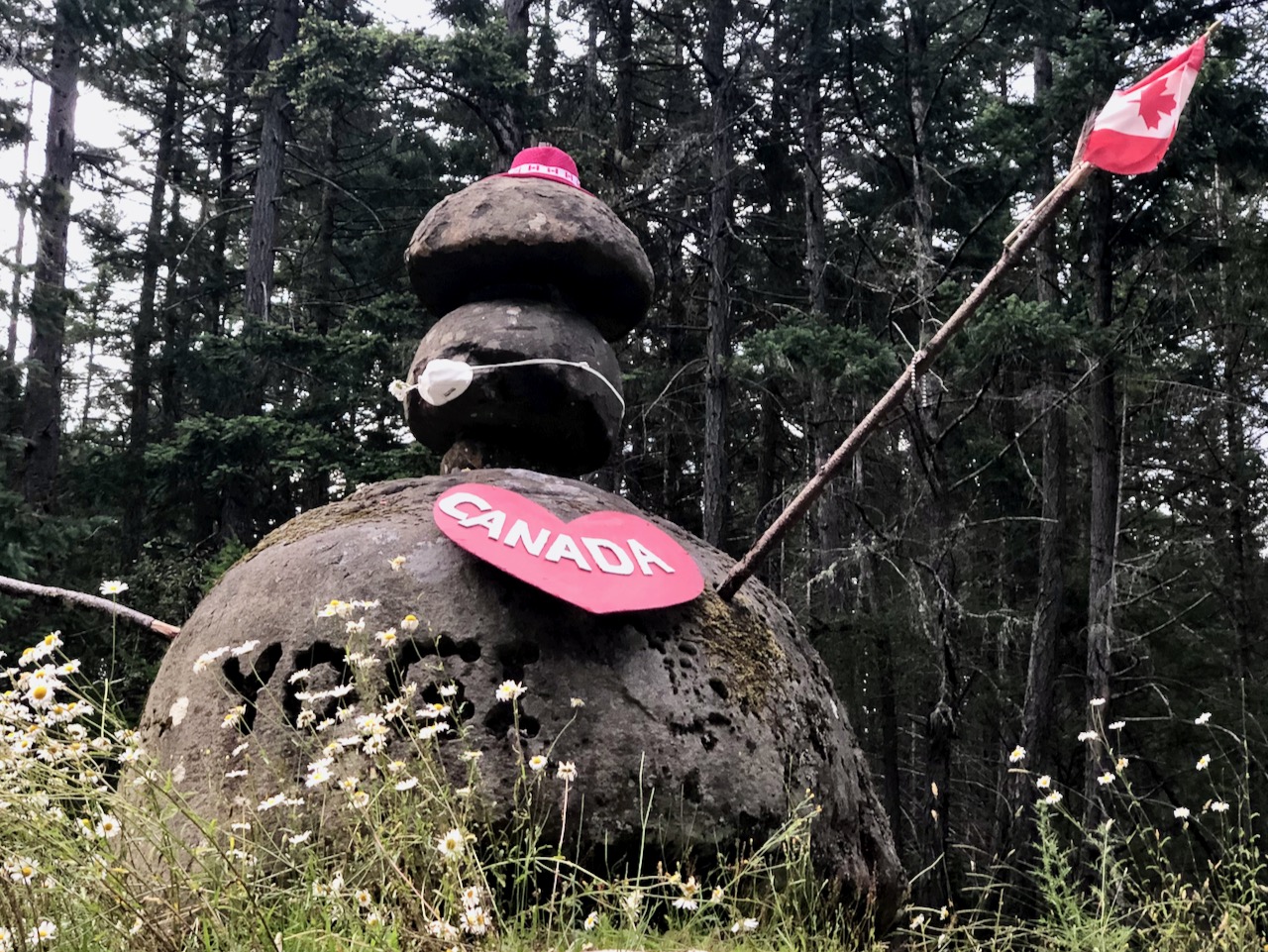
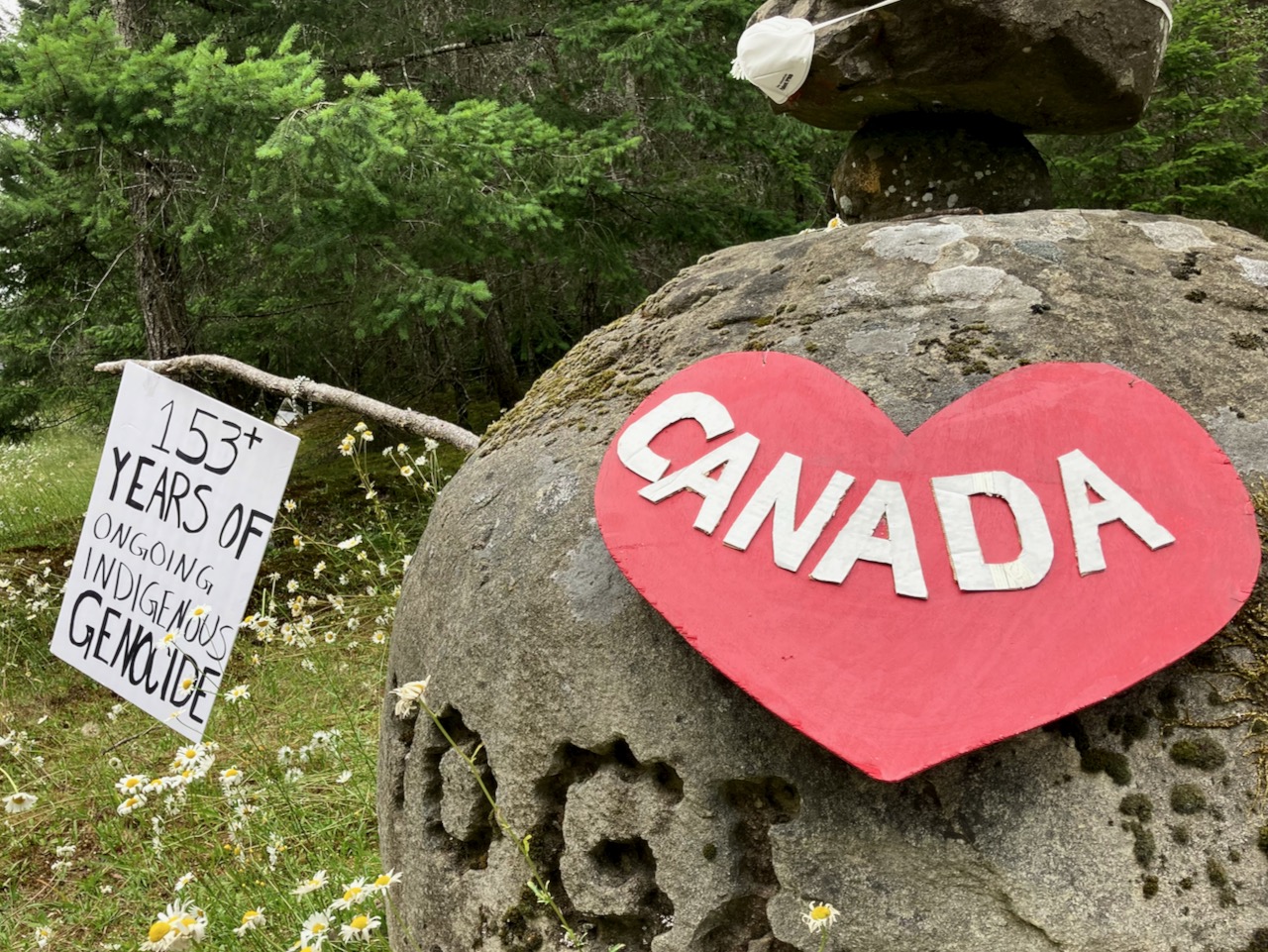
Next morning, while celebrating Canada Day, I was reminded that descendants of the original inhabitants are still there — the Snuneymuxw, a First Nation of the Coast Salish People.
Sobering.


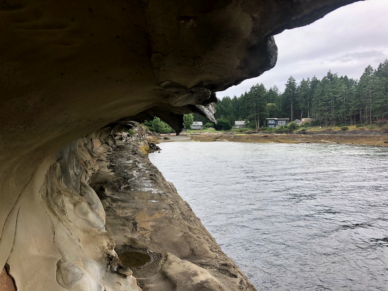
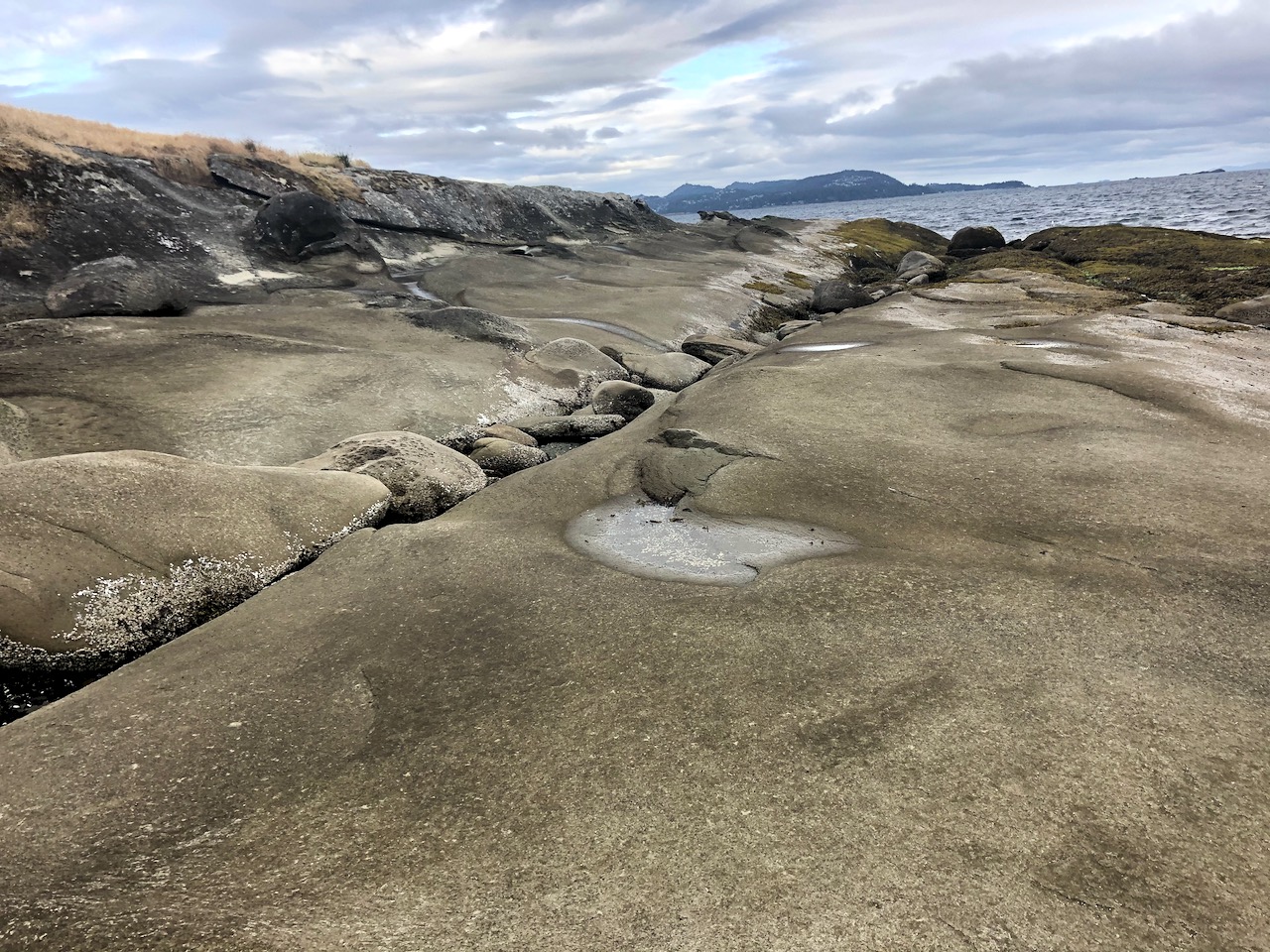
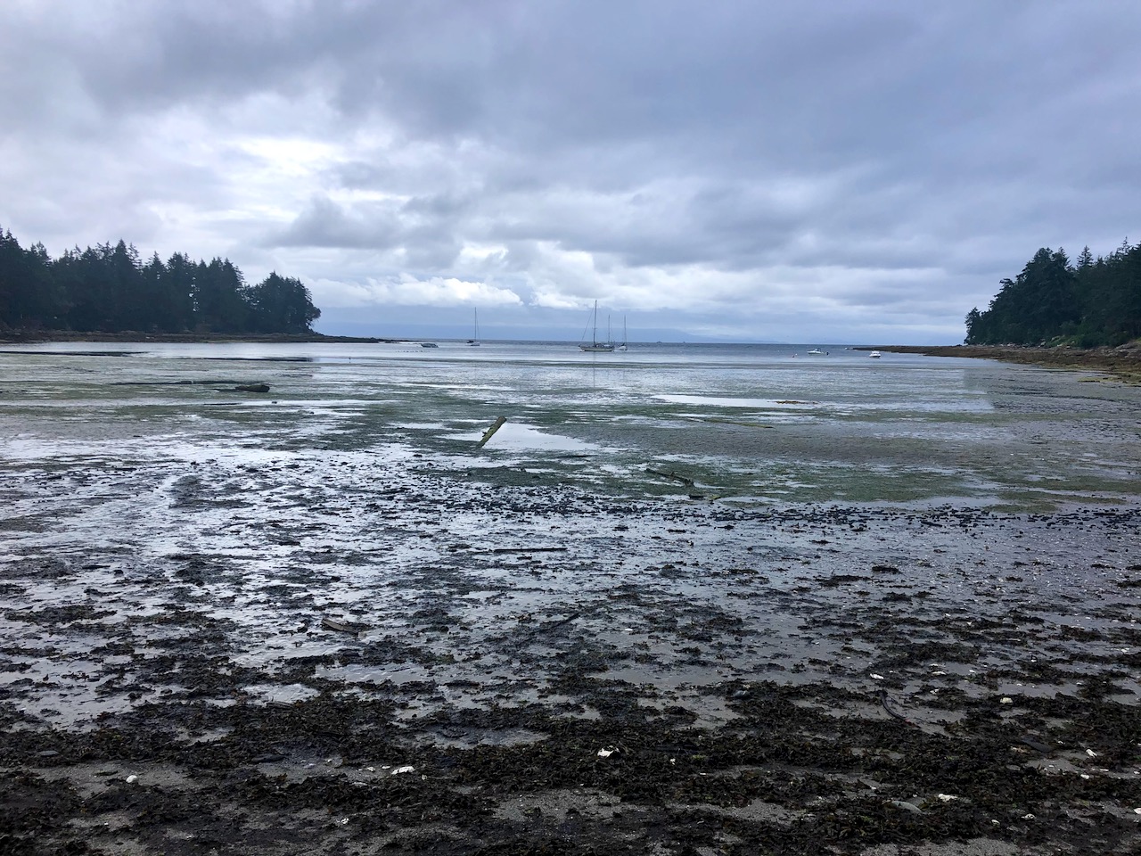
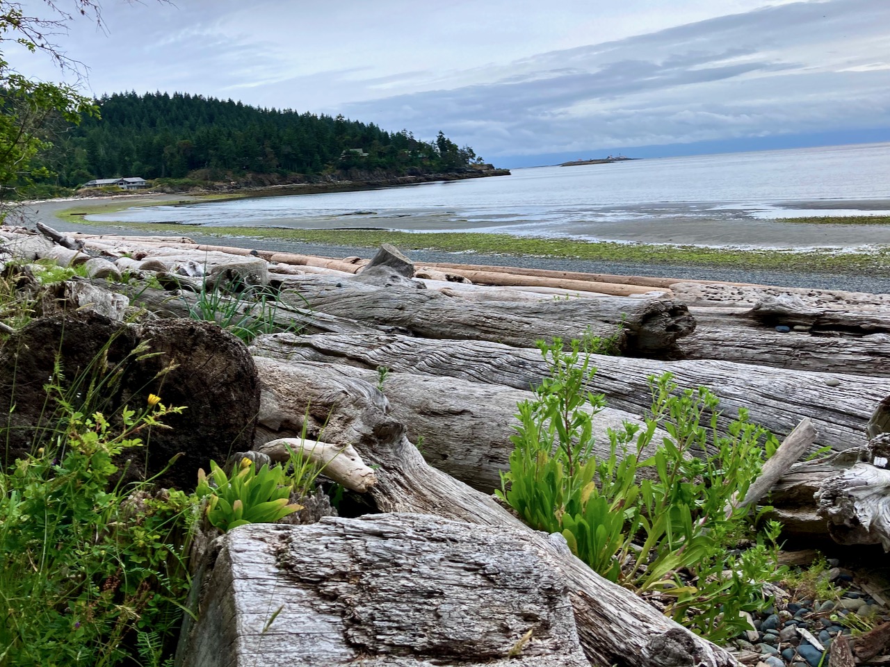
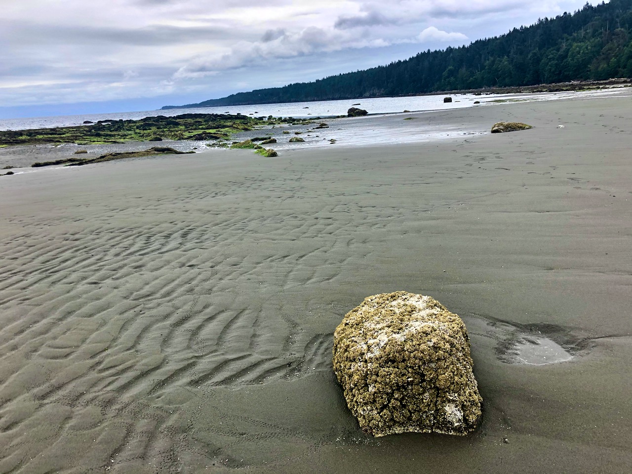
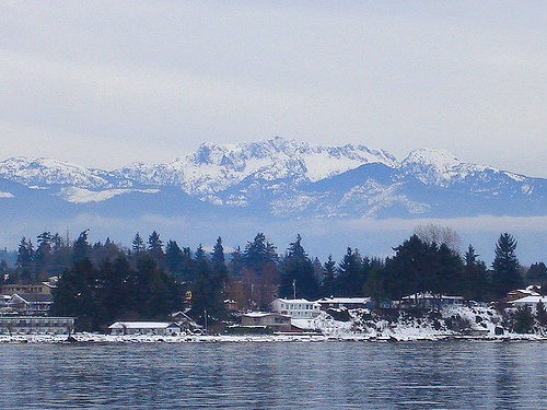
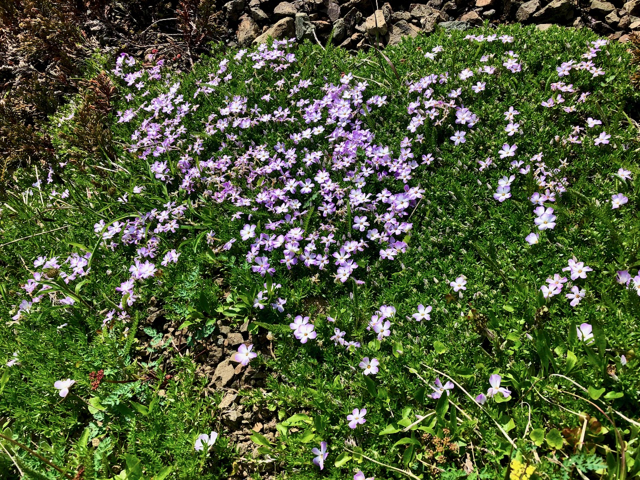
First stop was the Malaspina Galleries, a sandstone cliff carved by wind and waves. Lovely shoreline, as well.


To navigate I used Cycling the Islands: A Guide to Scenic Routes on the San Juan and Gulf Islands by John Crouch.
And Hiking Trails 2: South-Central Vancouver Island and the Gulf Islands by Richard K. Blier.


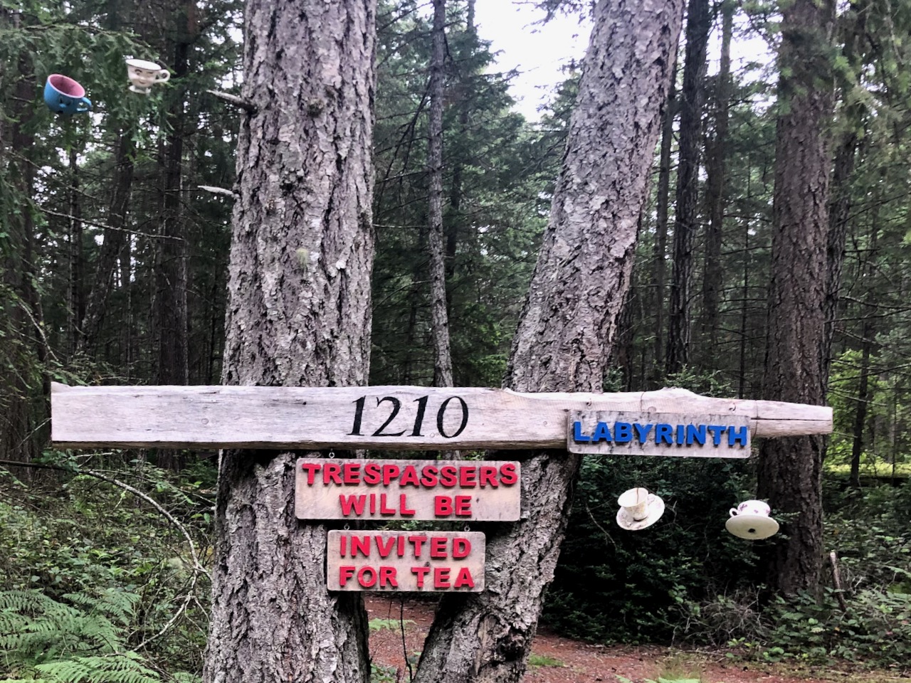
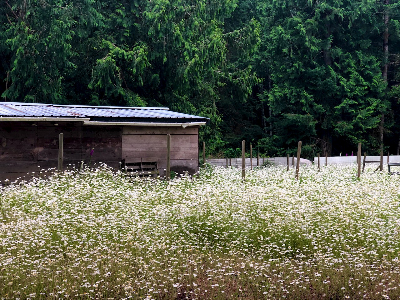
Gabriola is less developed than I anticipated. A definite hippy vibe.


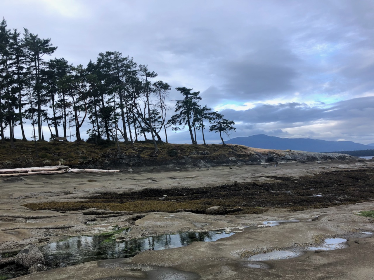
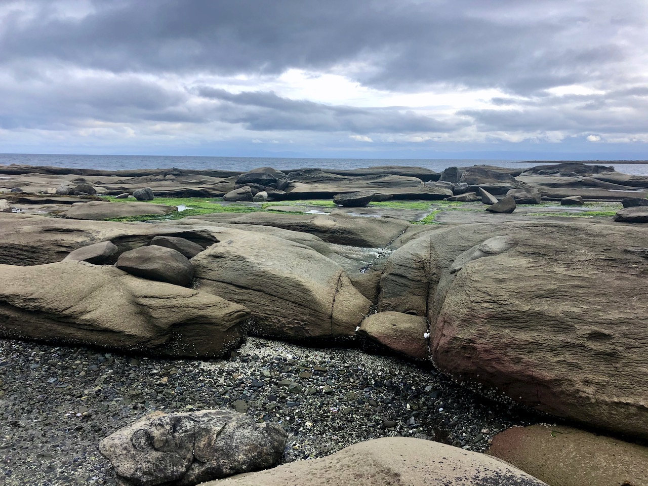
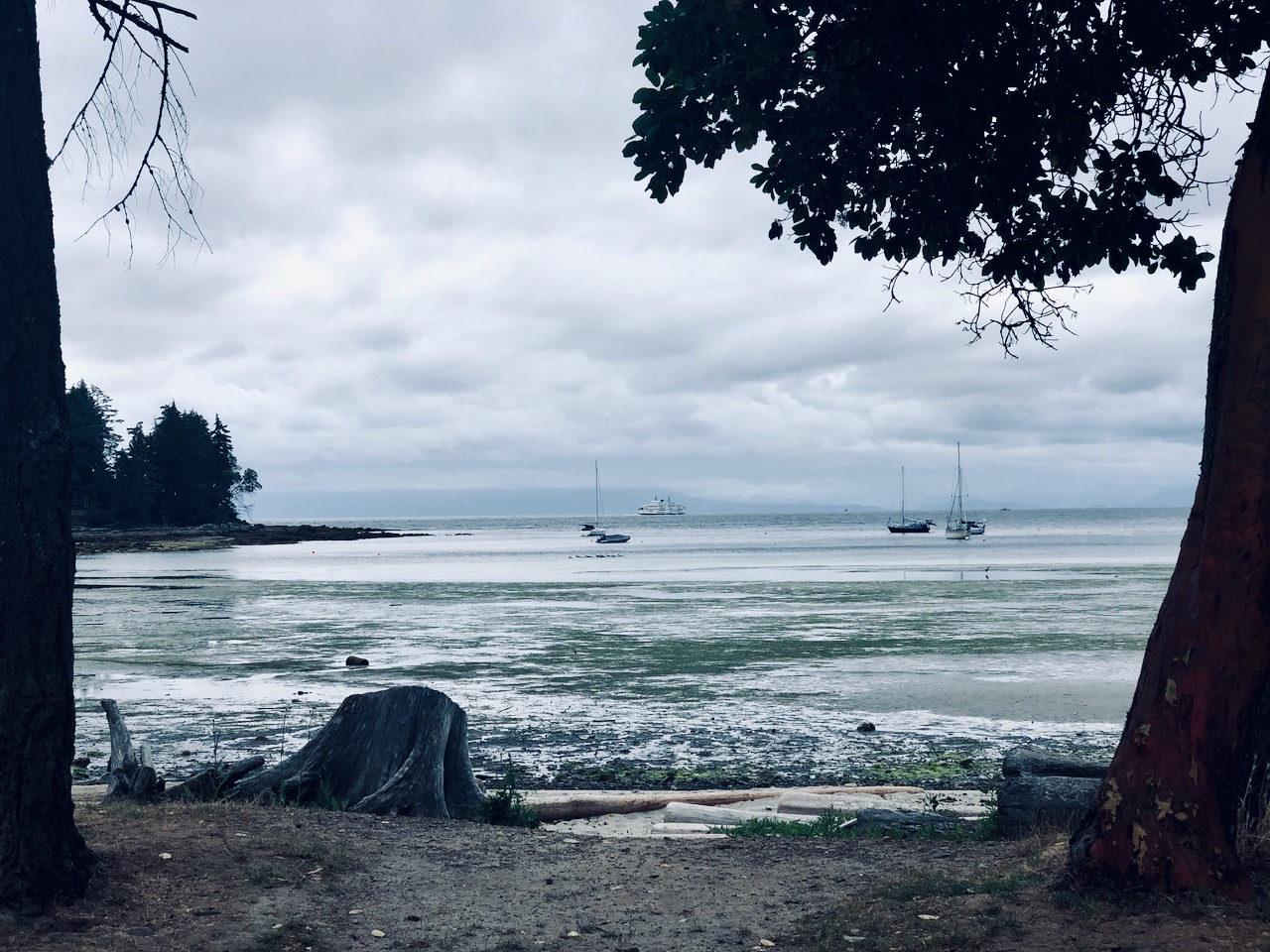
I circled the island counter-clockwise, stopping next at Sandwell Provincial Park.


Popped in briefly to Joyce Lockwood Community Park.

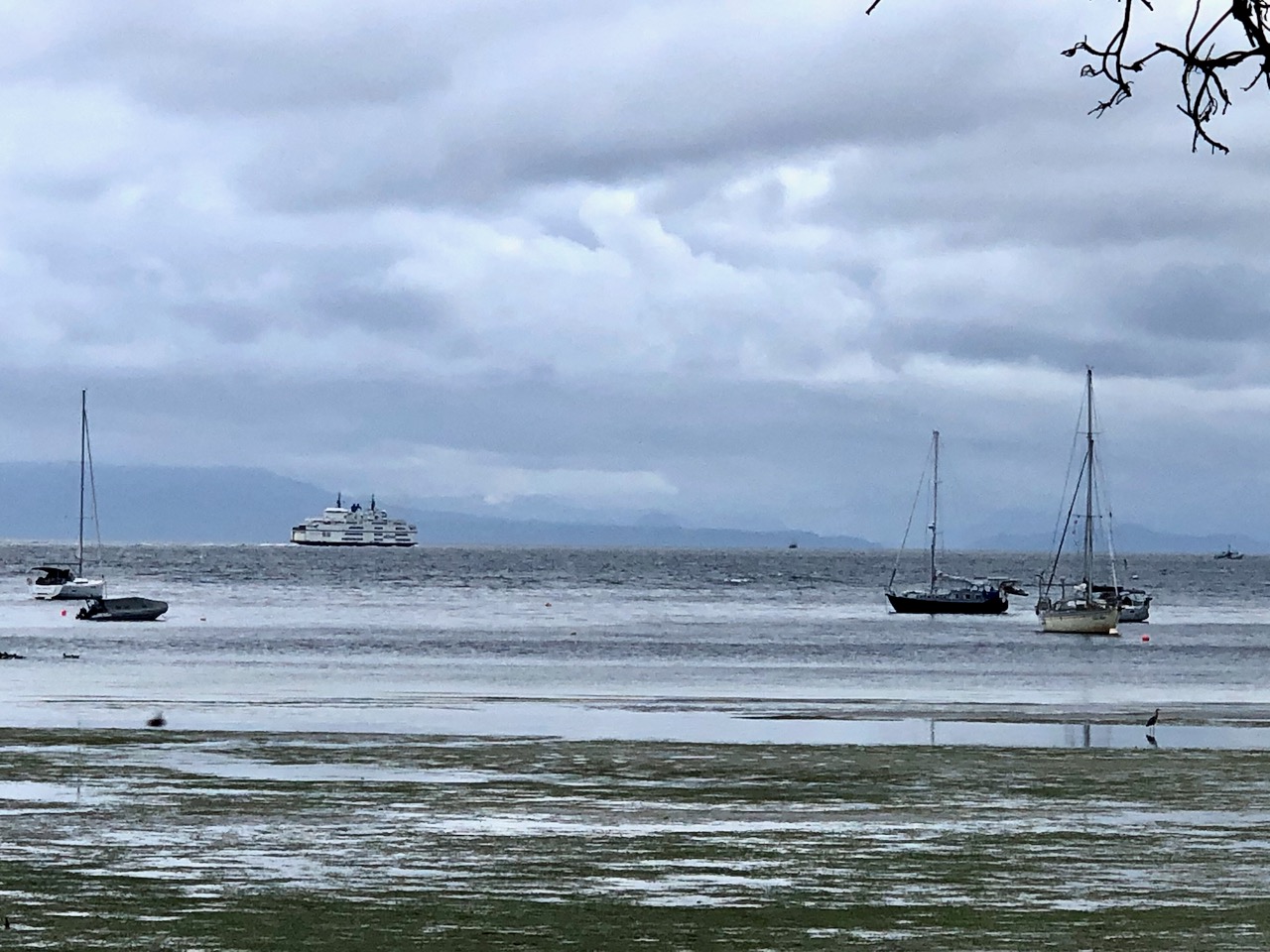
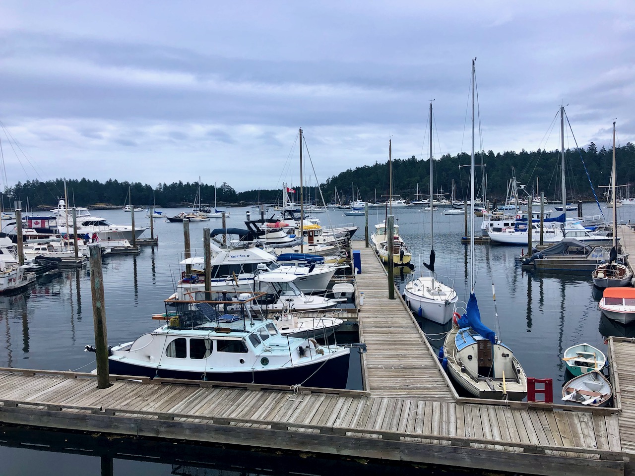
There’s a marina and campground at Silva Bay at the far end of the island.

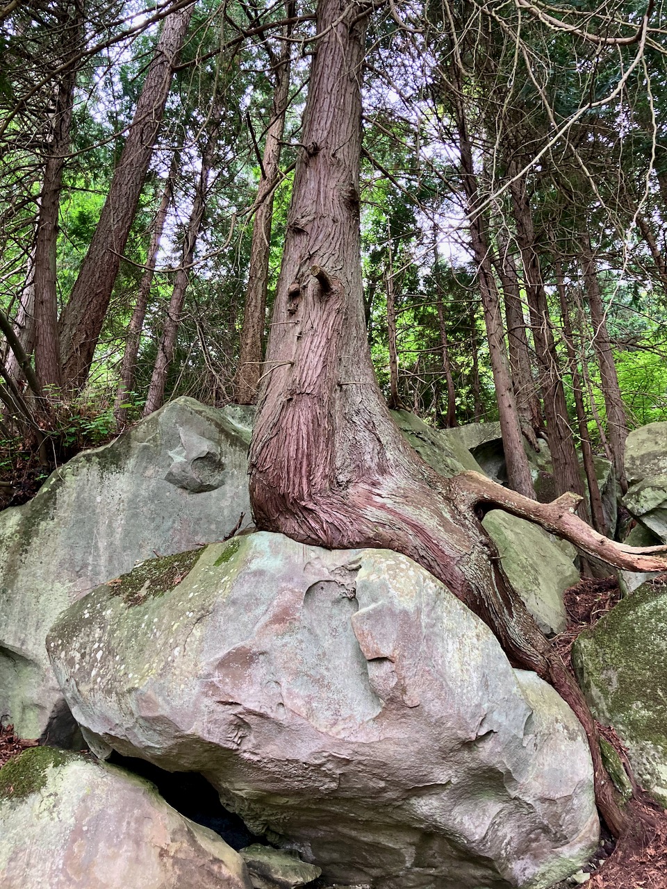
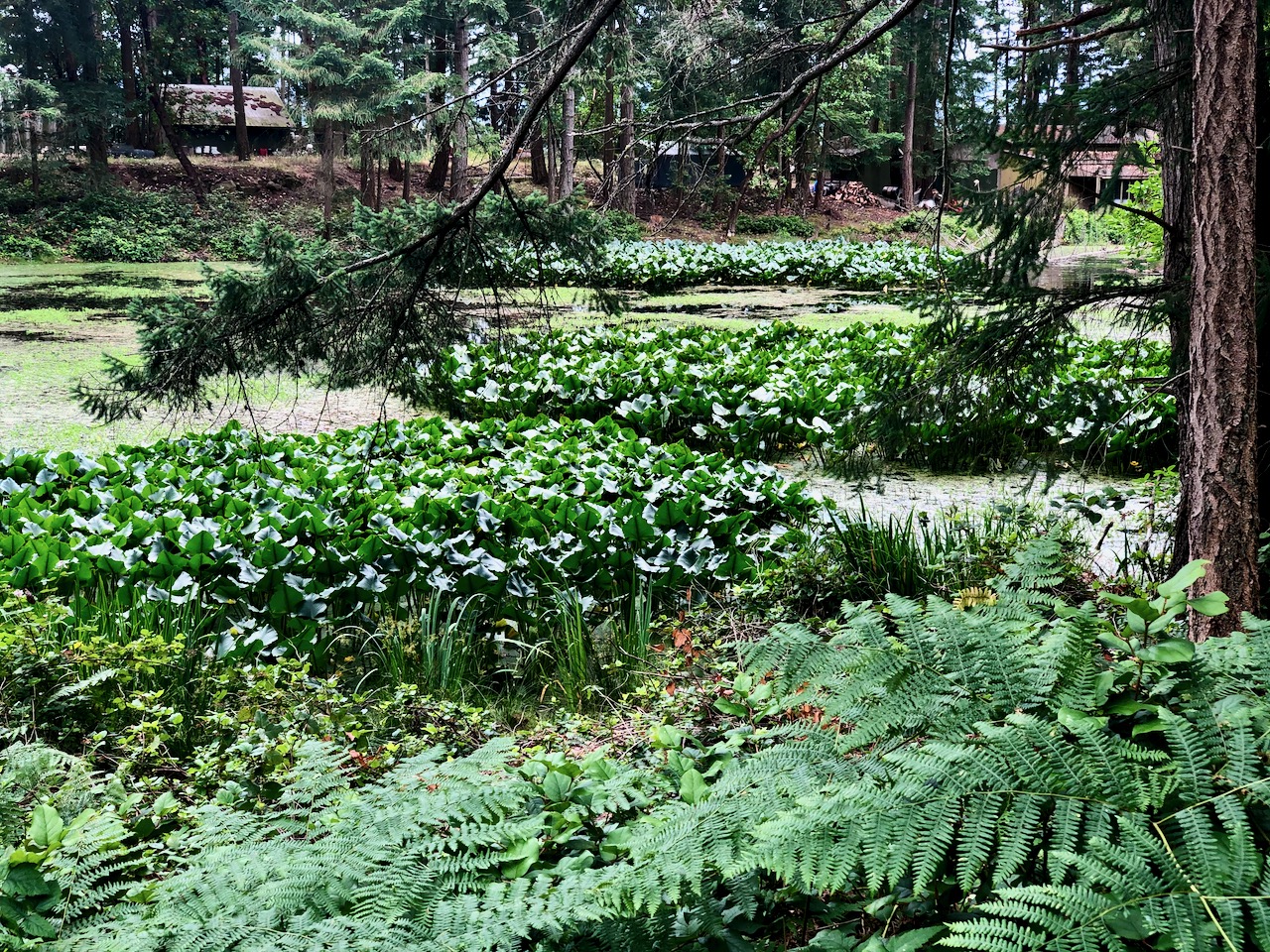
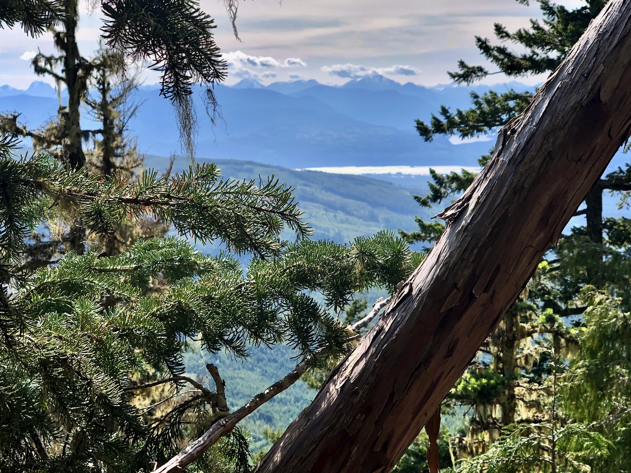
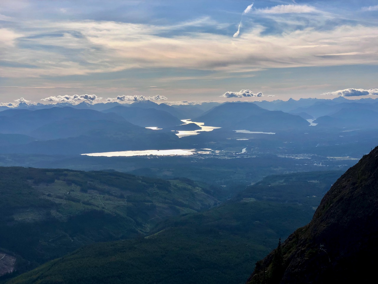
Cycling and hiking temperate rain forest is wonderful when it’s not raining. And the rain held off this day.

My last stop was Drumbeg Provincial Park.

One day was enough to explore Gabriola. All good. The hiking trail infrastructure is excellent for a small island. Paths well marked.
All trails are short and easy.
I recommend Gabriola.


 There are two parts: