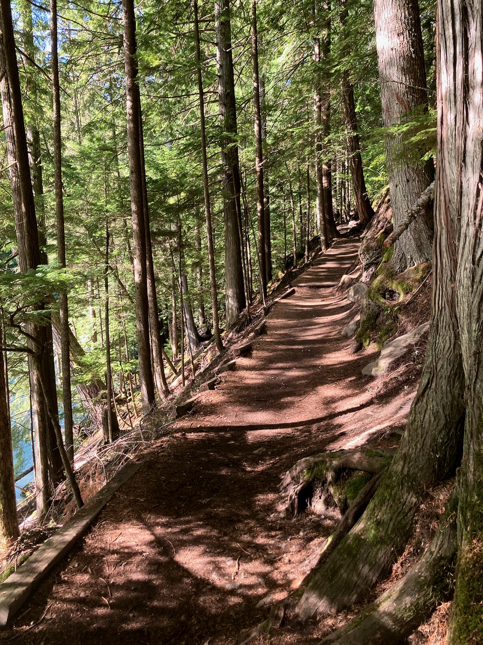
Hoping to climb Golden Hinde, the highest mountain on Vancouver Island 2,195 m (7,201 ft). September should have drier trails. Fewer bugs. … Hopefully.
Many try and fail to get to this summit. It’s a scramble up snow or rock at the top.
The mountain took its name from Sir Francis Drake‘s ship, the Golden Hind, named by an early fur-trading captain who was reminded of Drake’s ship as sunset hit the mountain
My plan is to hike the 47km Golden Hinde Traverse on the Elk River trail through to Myra Falls. I’ll only attempt the summit as a detour if conditions, health, time and weather permit. No pressure. 🙂
Cost for a guided climb is about CAD $1500 for 5 days.
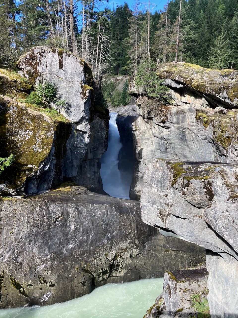
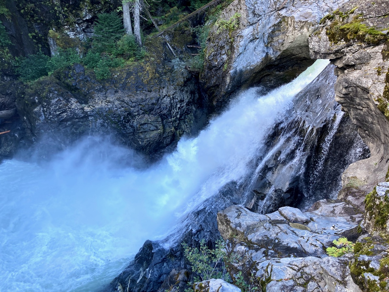
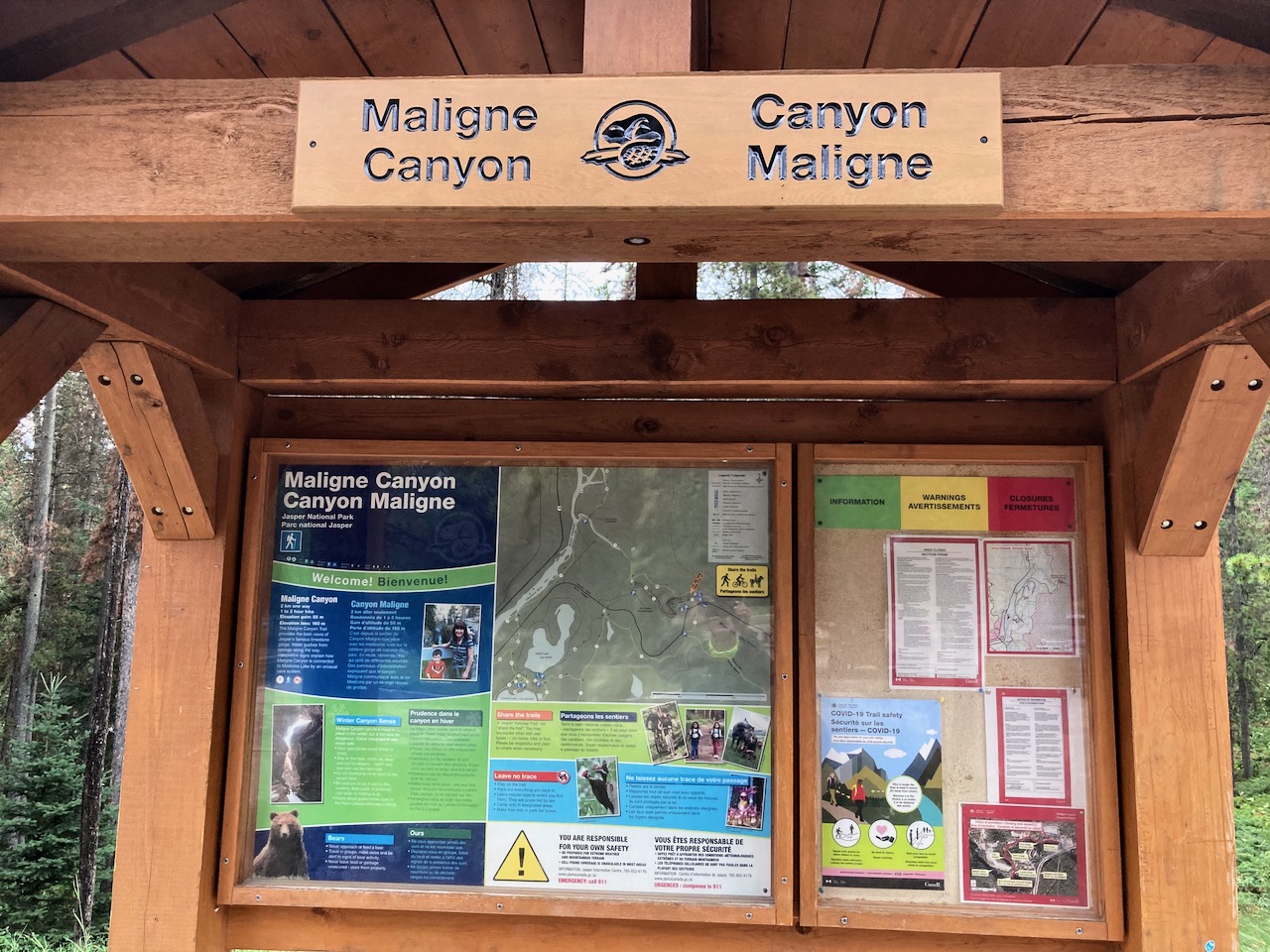
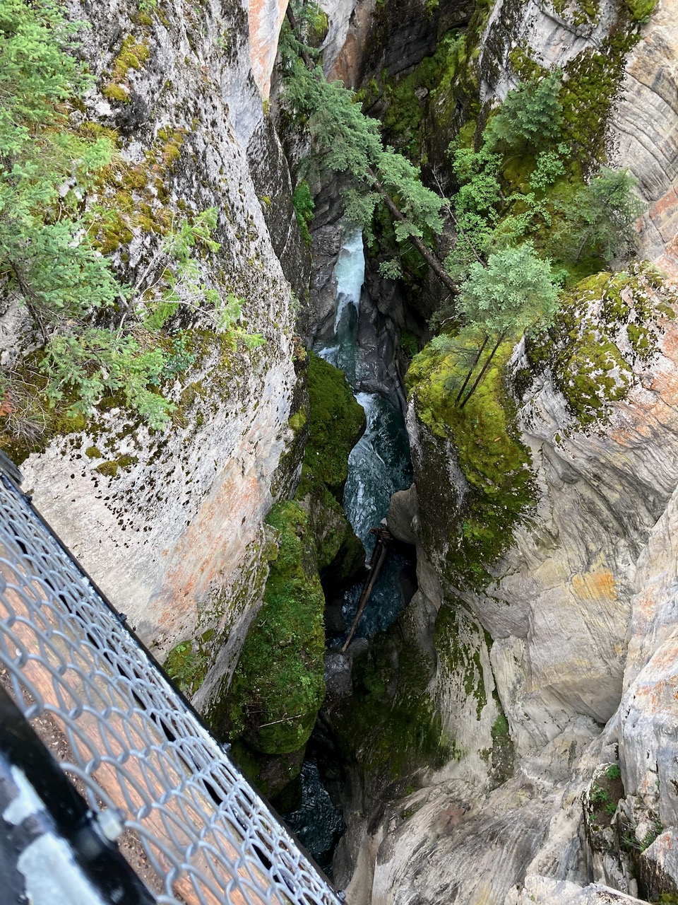
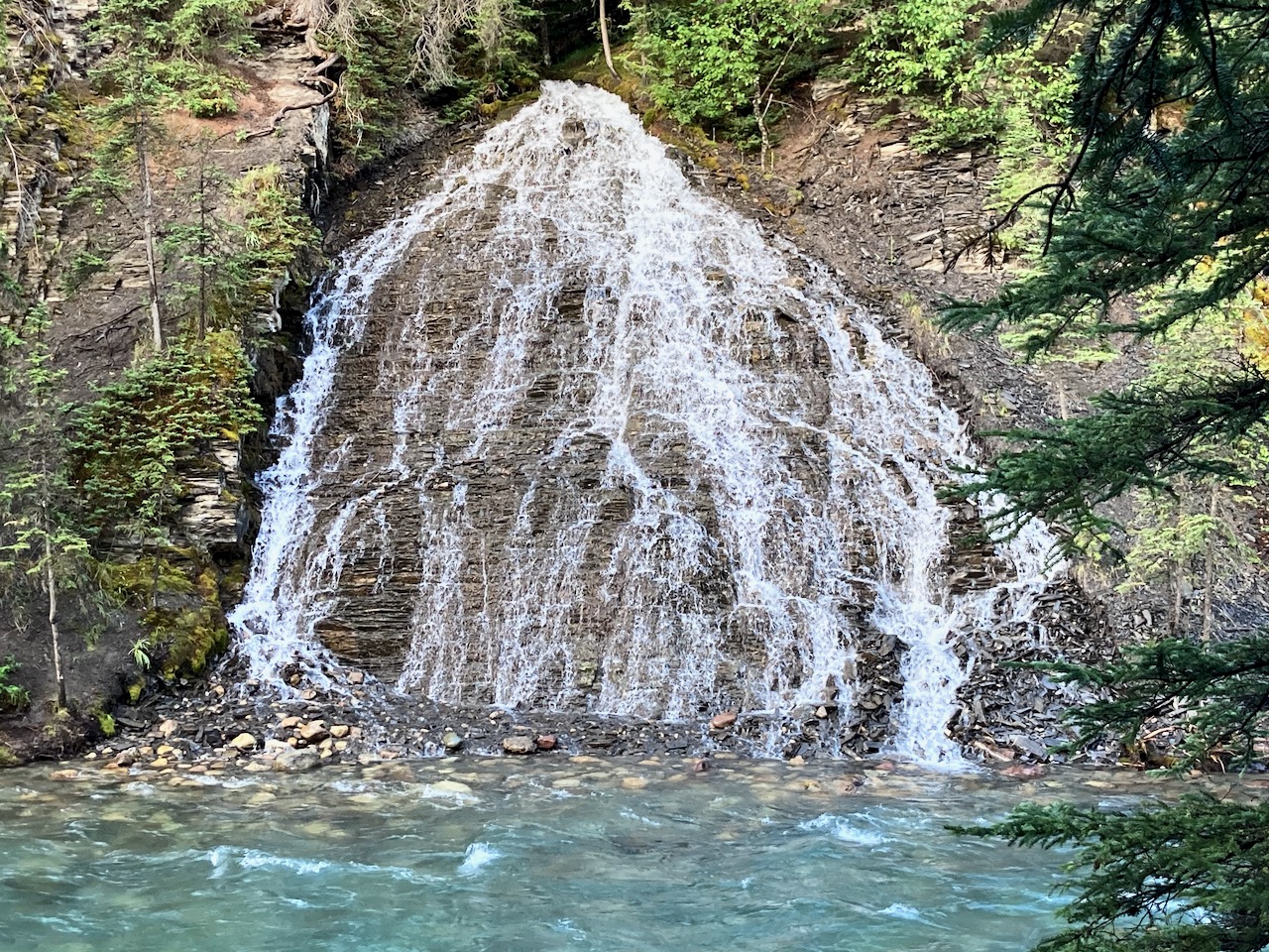
One of the must do day hikes in the Canadian Rockies is Maligne Canyon close to Jasper, Alberta.
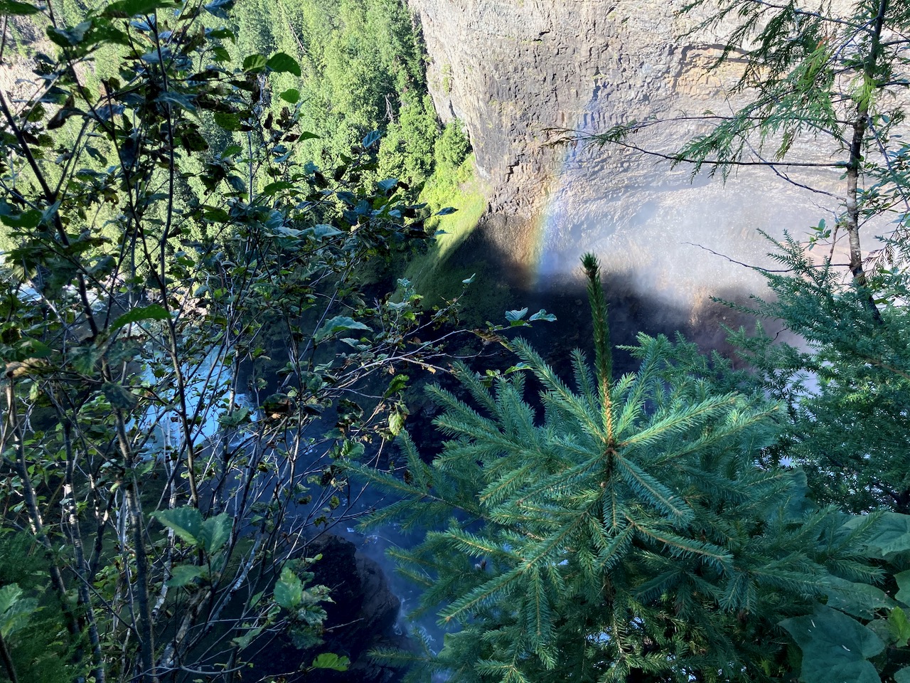
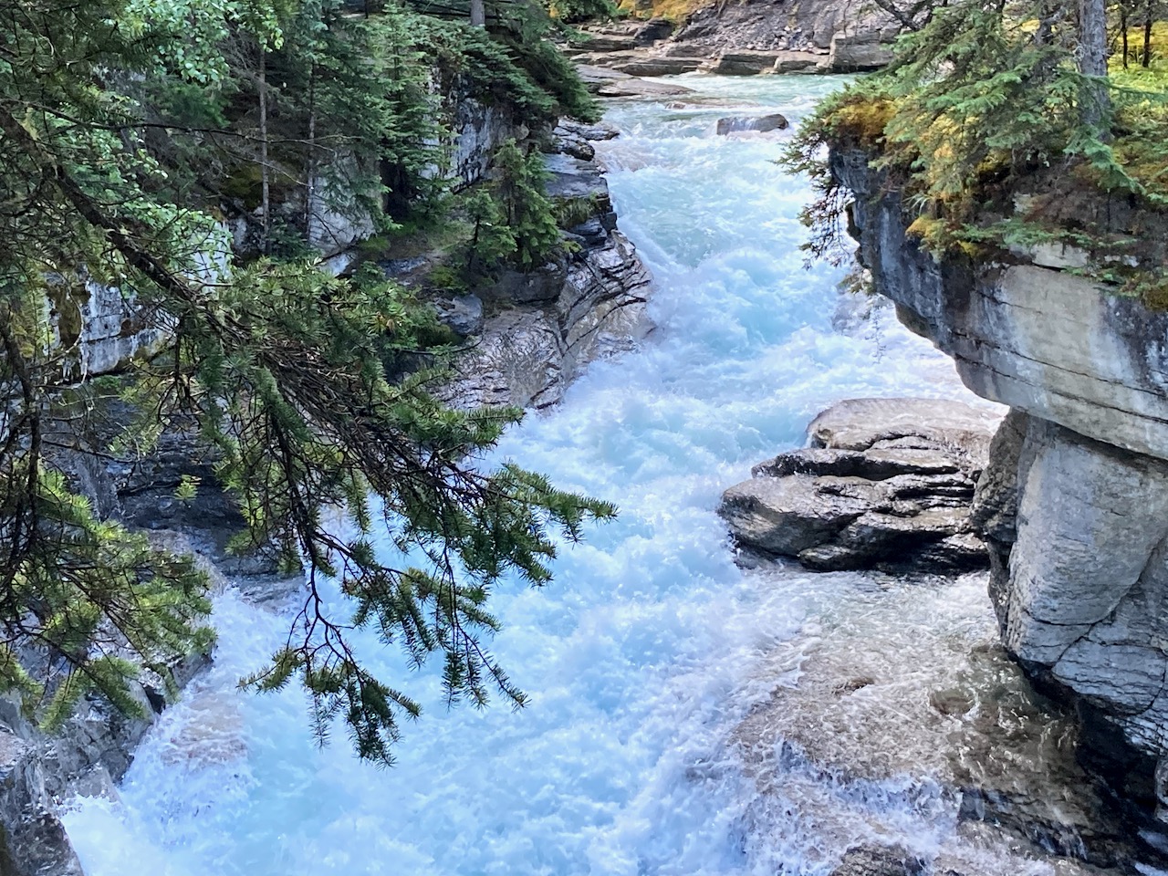
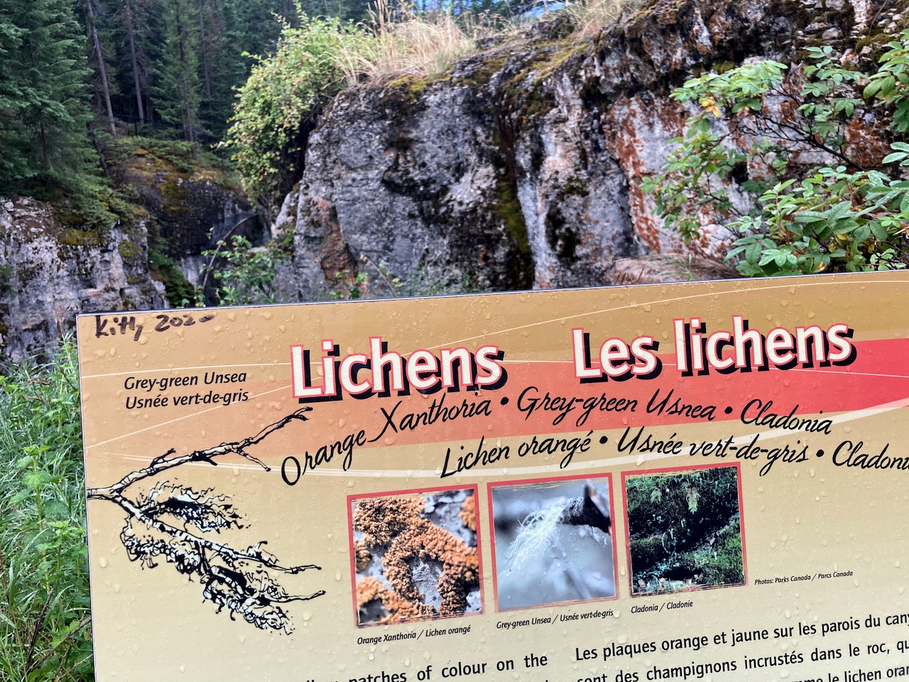
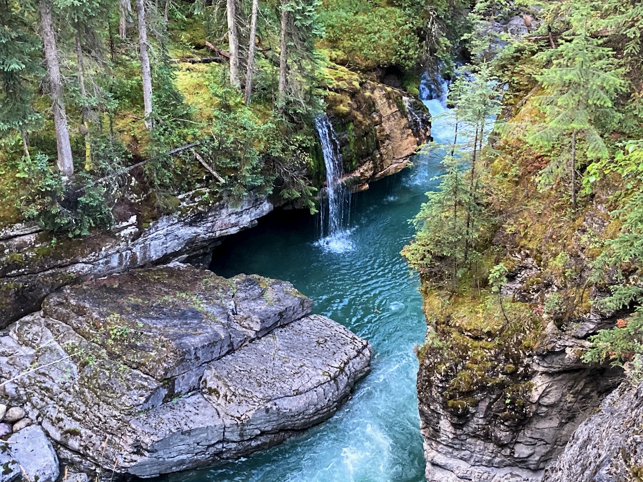
… the canyon measures over 50 metres (160 ft) deep. Popular for sightseeing and exploration, the area contains waterfalls, underground stream outlets, birds and plant life. …
Best is to start from the main parking lot close to the tea house and the Hi Maligne Canyon Lodge.
The canyon is deep here.
The canyon was named by a zealous Jesuit missionary, who called the canyon “la traverse maligne”, after his horses were swept away by the swirling waters. There are six bridges built across the canyon to help one explore this magnificent work of nature : the first bridge was built in 1914.
I’d recommend you hike at least to the point of seeing the 5th bridge. From there you could loop back on the cycling / horseback trail.
There are interesting interpretive displays en route. This hike is great for kids.
With each bridge, you get closer and closer to the water.
When the river freezes over in winter, the experience is completely different. If you are one of the brave venturing to Jasper National Park in winter, consider doing a guided ice walk in Maligne Canyon in winter. It is an out of this world experience.
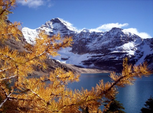
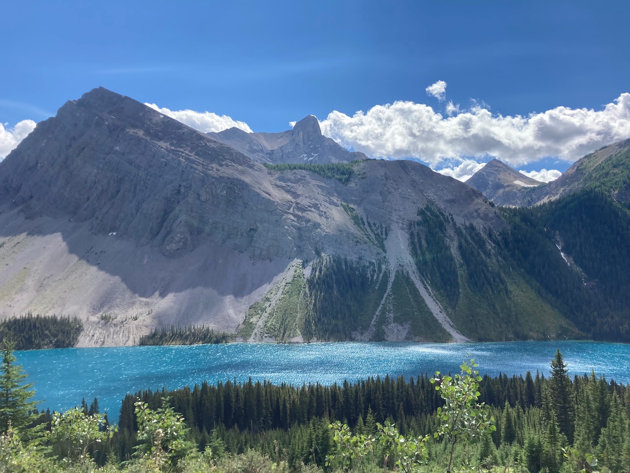
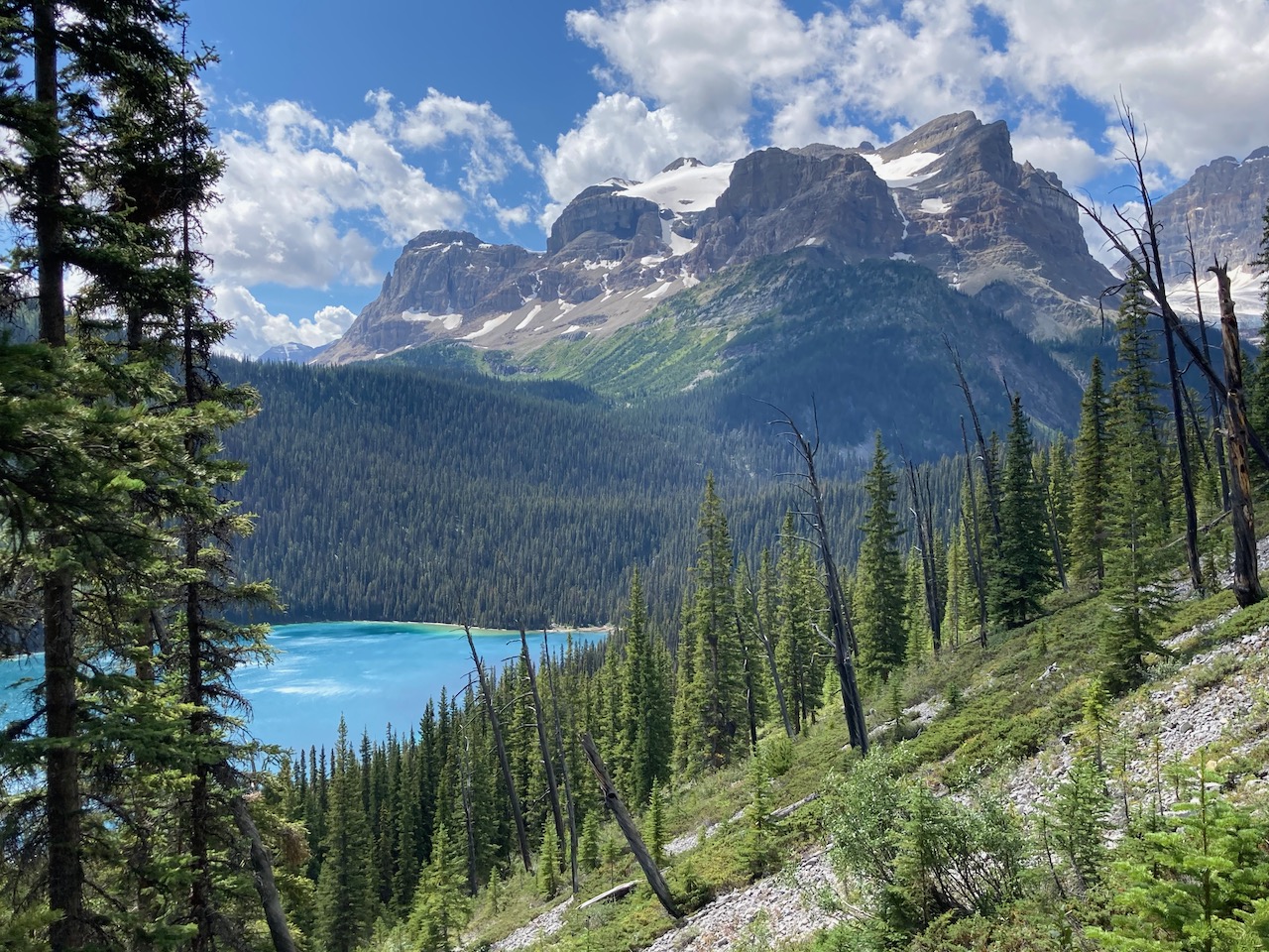
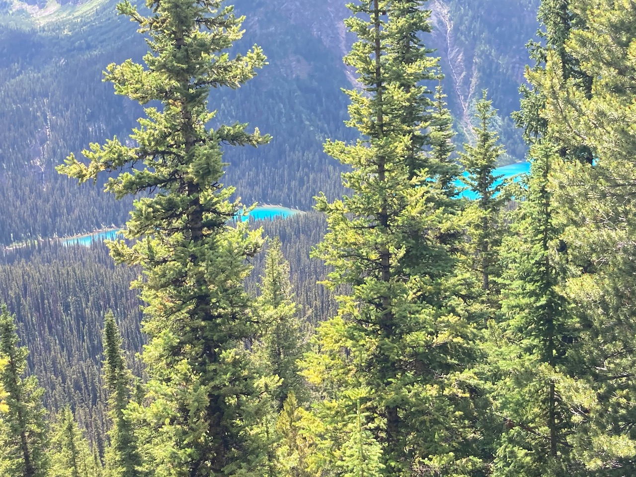
Our favourite hiking area in the Canadian Rockies is Lake O’Hara.
But it’s extremely difficult to get a reservation.
Our friends at travel2walk did the famed circuit the hard way:
distance: 14.3 miles (23.0 km)
elevation change: 4651 ft. ascent (1418 m) & 3228 ft. descent (984 m)
time: 8:23 hours (7:17 moving)
They hiked in 6.9 miles (11 km) on the Lake O’Hara fire road. Did the Circuit. And were lucky enough to get seats on the 4:30pm bus out (CAD$9.75 fee per person cash).
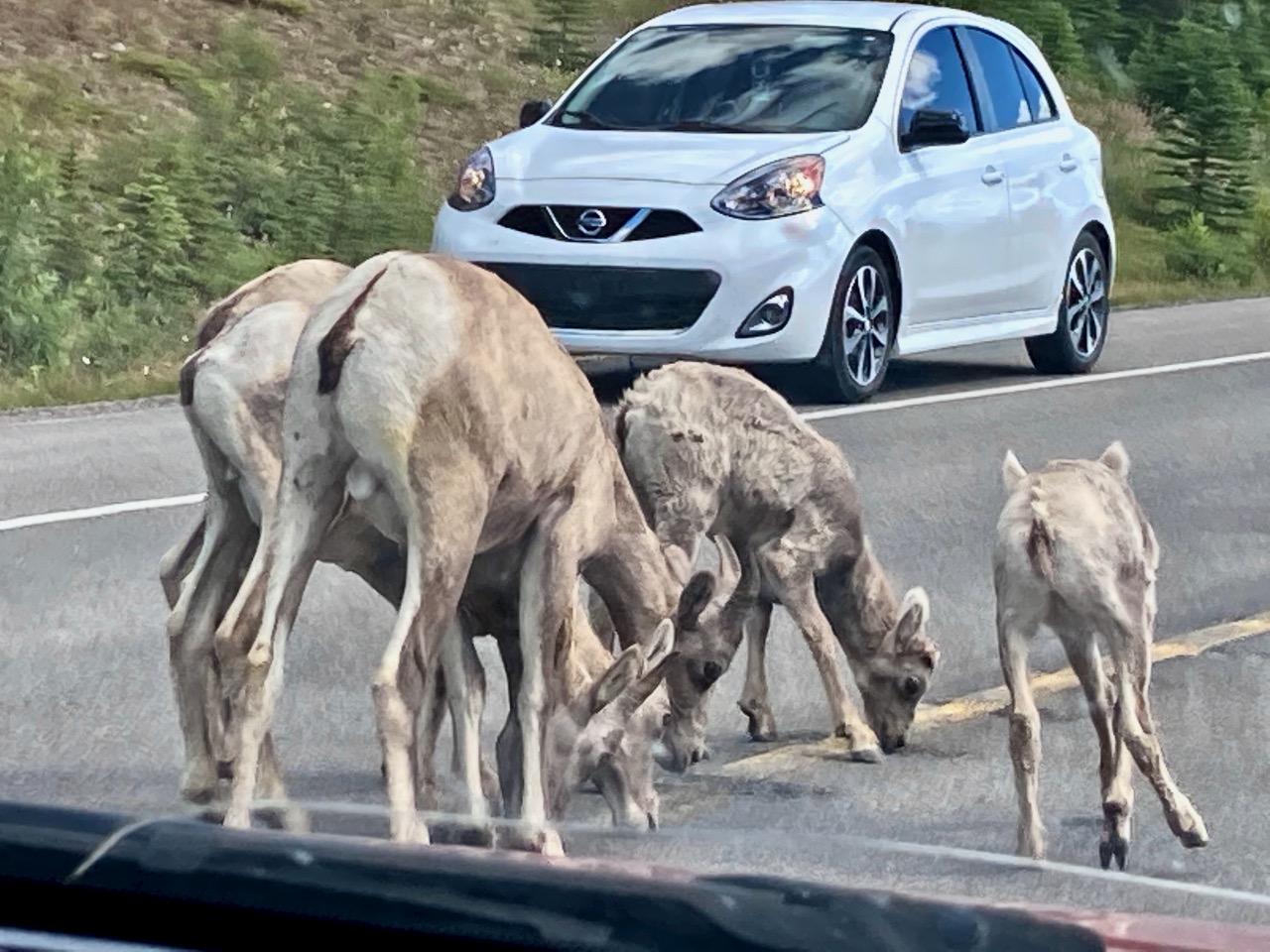
Mountain sheep, not mountain goats. Let’s get that straight.
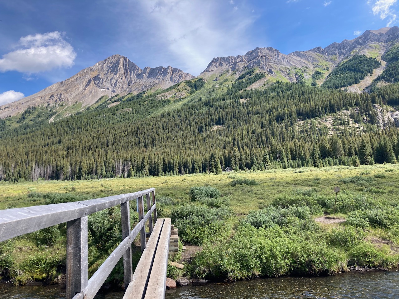
It was almost 5pm by the time we walked away from Mt. Shark trailhead on the Bryant Creek Trail.
We would have come in from Sunshine — but both the bus and Gondola were closed in 2020 due to COVID-19.
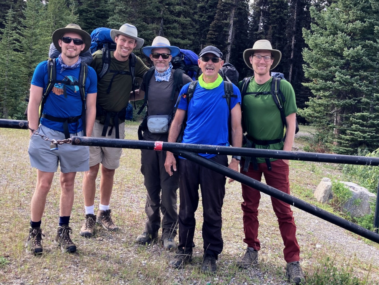
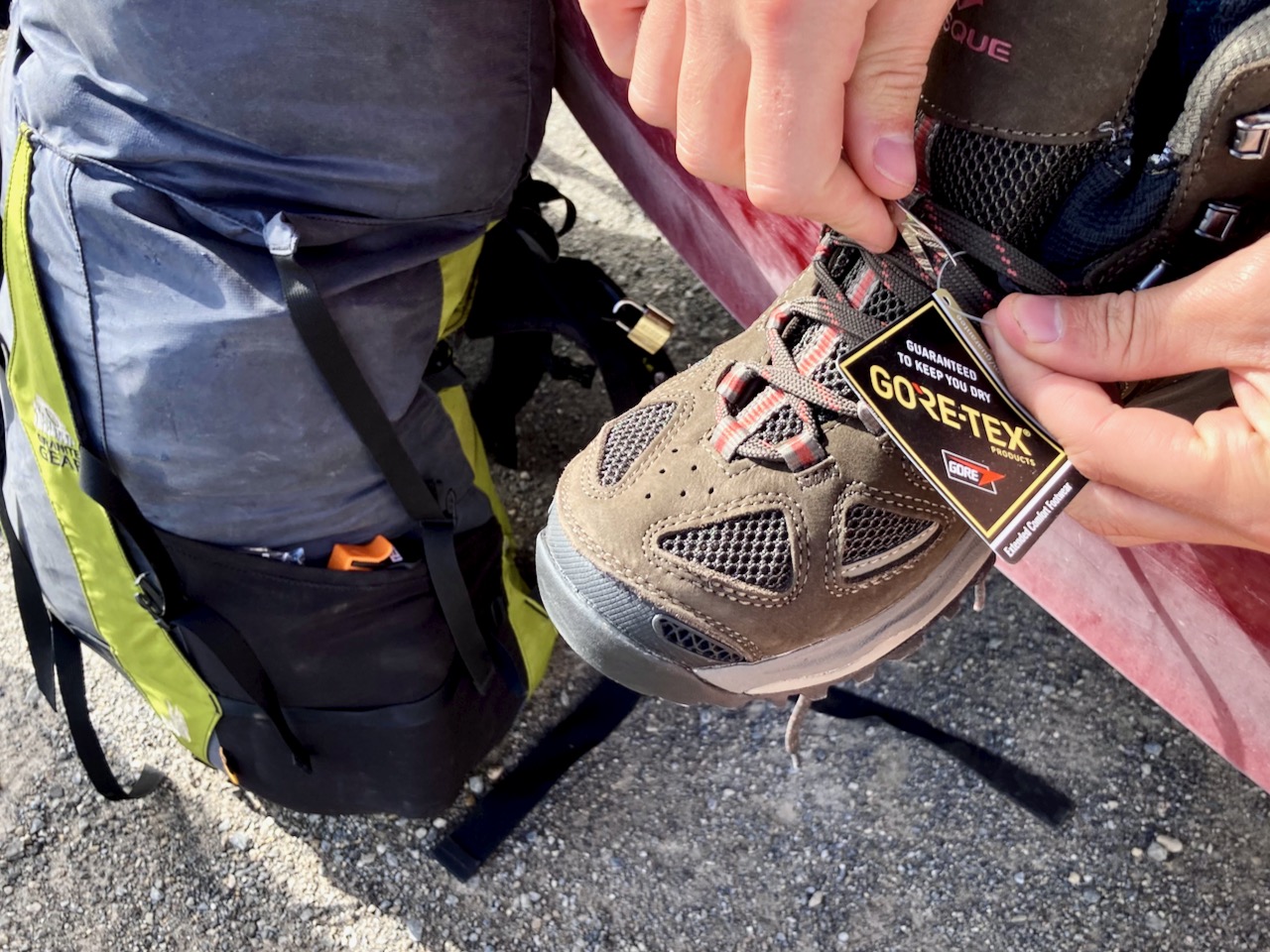
Jack was wearing brand new shoes. Surprisingly, they worked well for him over 5 days.
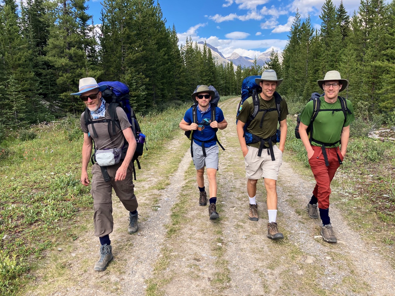
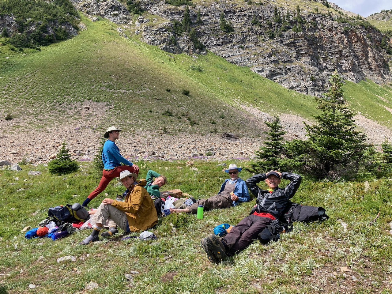
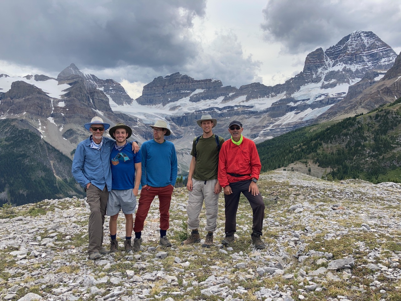
I was happy to join up with Brian Mason and sons for one of his favourite hikes.
I’d thought the trail to McBride campground (BR 14) was 9.8km flat. It’s closer to 13km with some ups and downs.
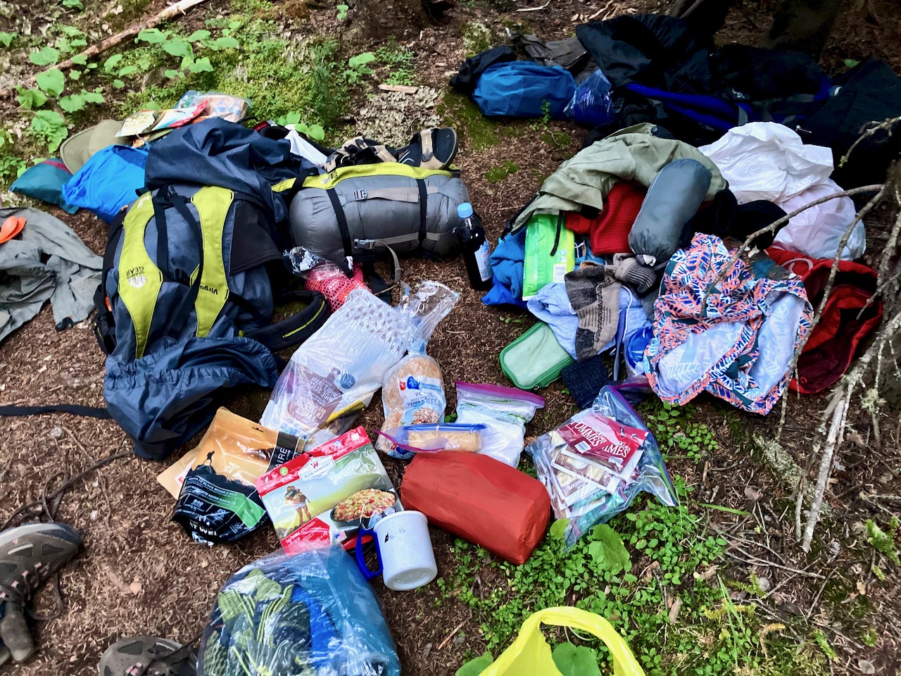
The Masons had most everything they needed, but it wasn’t really “packed”. 😀
9:07pm arrival at McBride
Turns out McBride is a lousy camp: no water, few level sites, distant cooking area.
Masons didn’t finish dinner until well after dark.
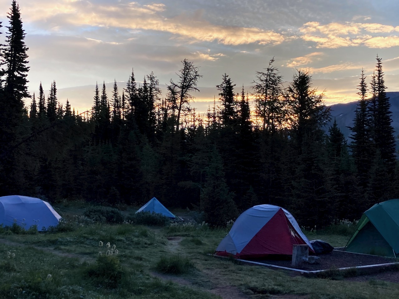
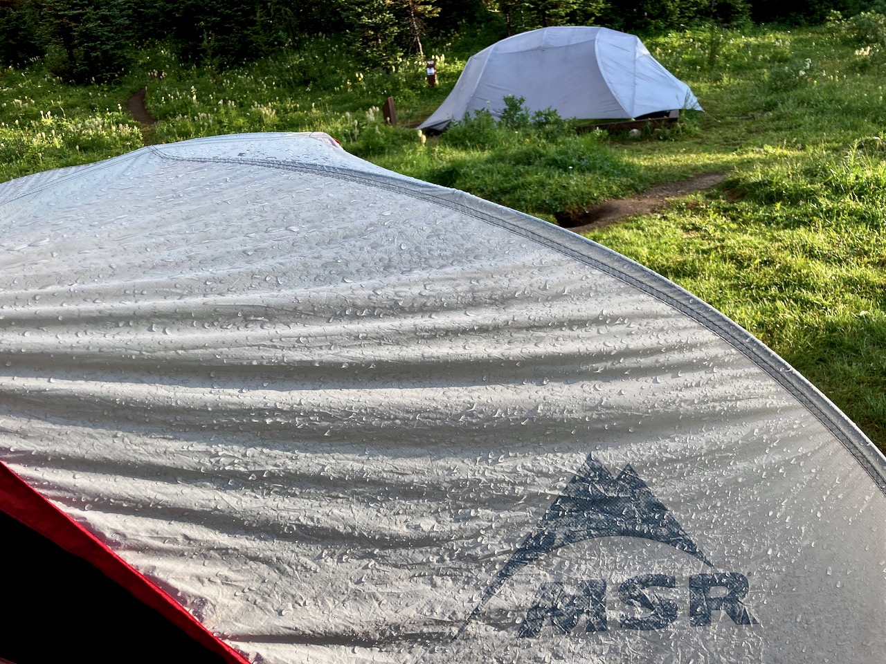
NIGHT
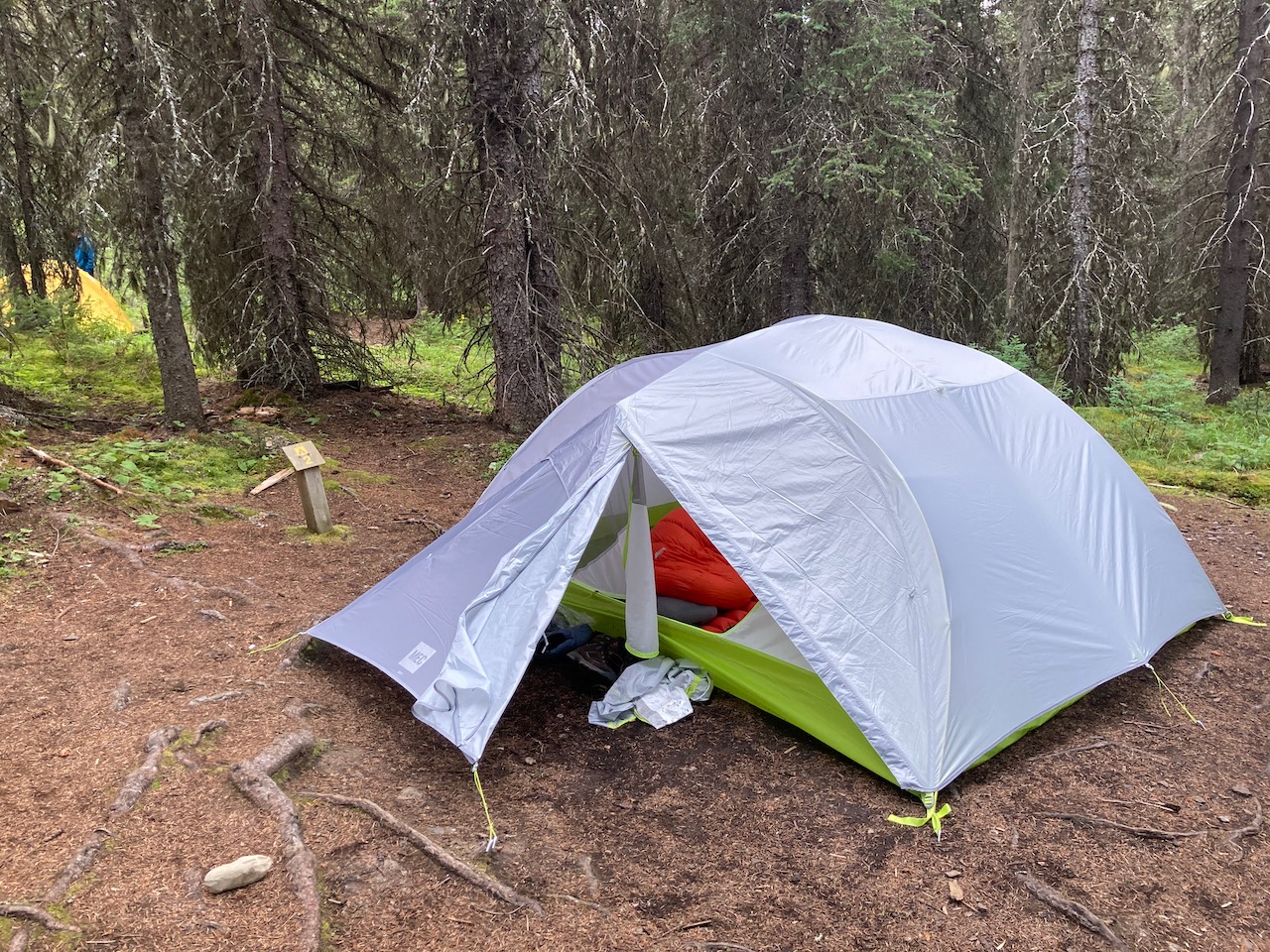
No fly for me. I only use it if I must.
Masons were happy with their new 4 person MEC tent, the first time they’d used it.
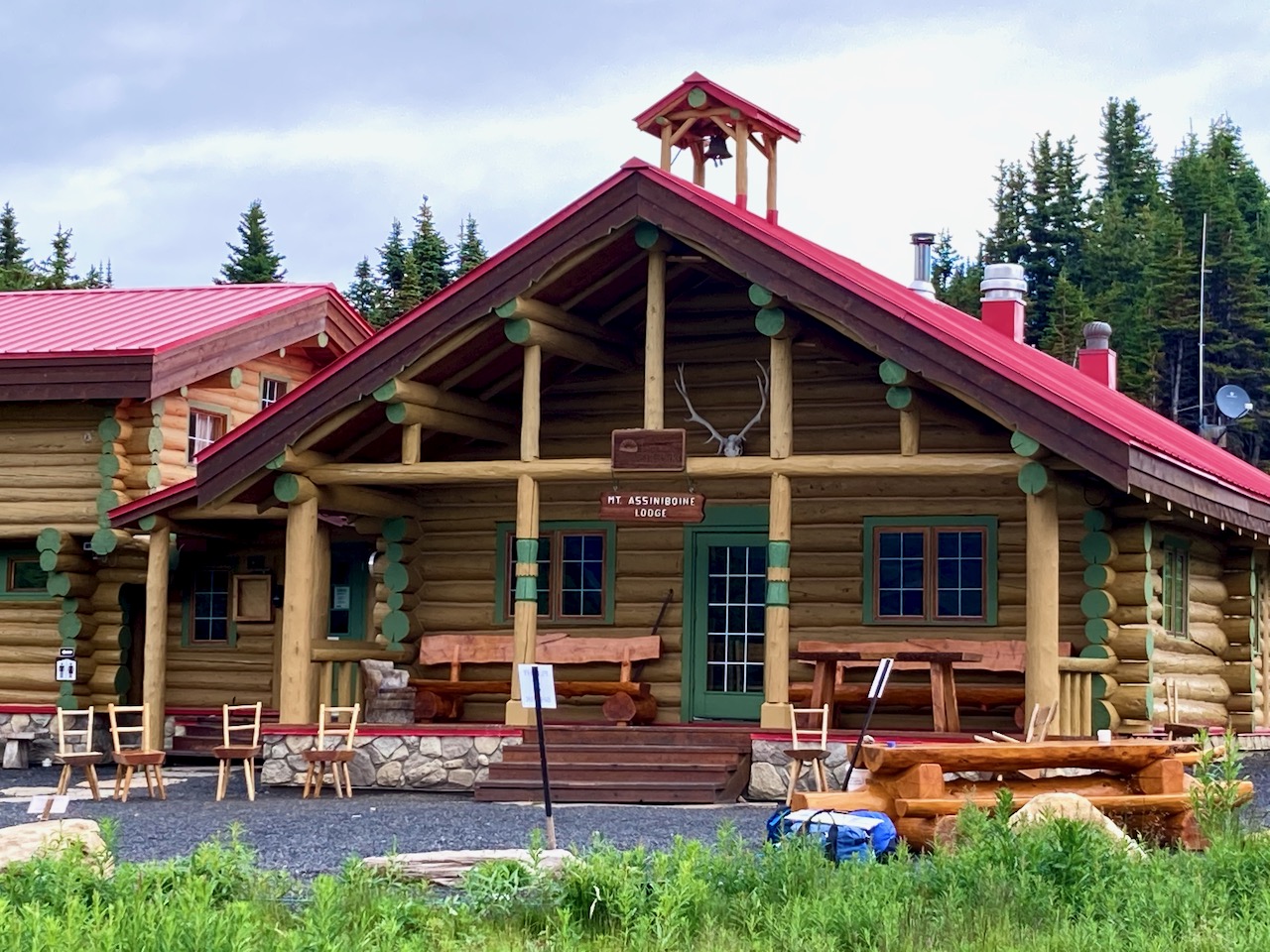
I wished we’d camped instead at Big Springs 9.6km. But Brian was actually happy we went all the way to McBride as it shortened the climbing day up to Assiniboine.
At the Ranger cabin we turned uphill towards Marvel Lake. (The alternative trail is the easier, but less scenic, Assiniboine Pass.)
The river is the water supply for McBride. While at that camp, I saw two closer potential sources that were NOT running.
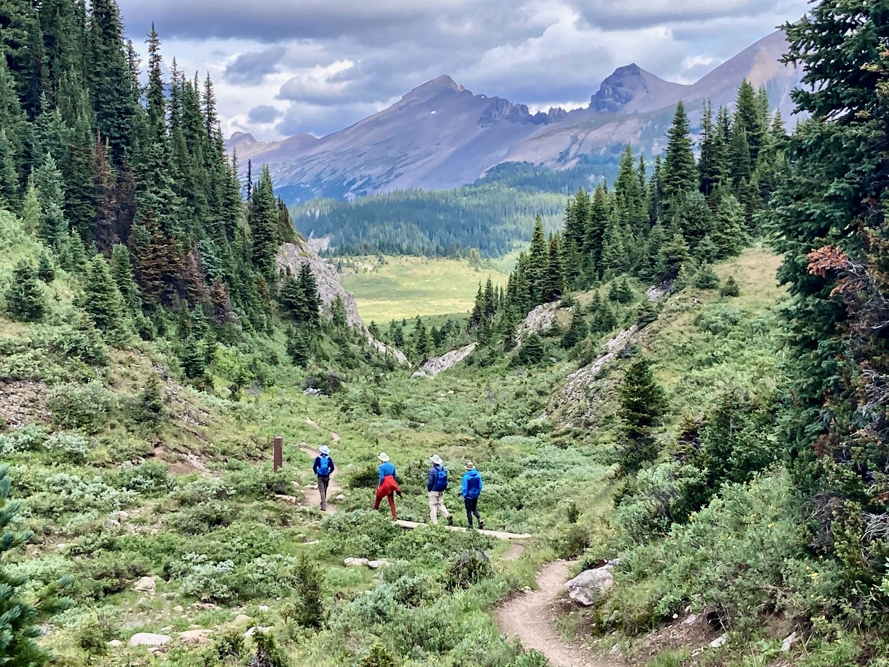
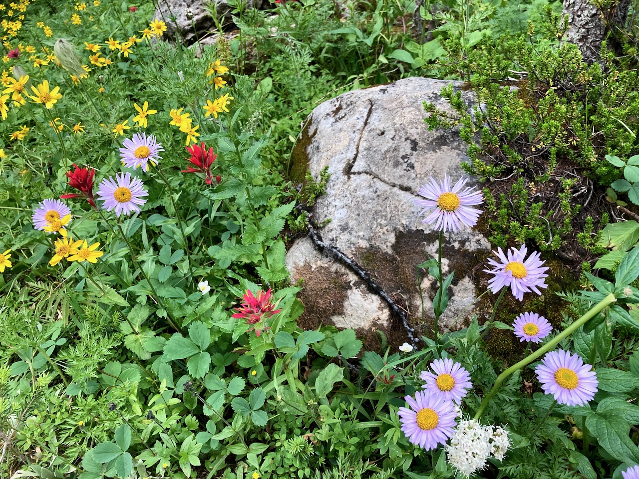
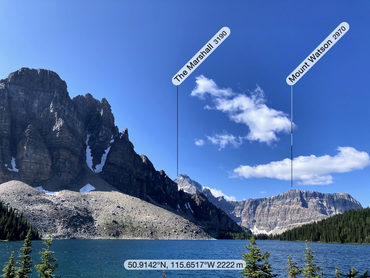
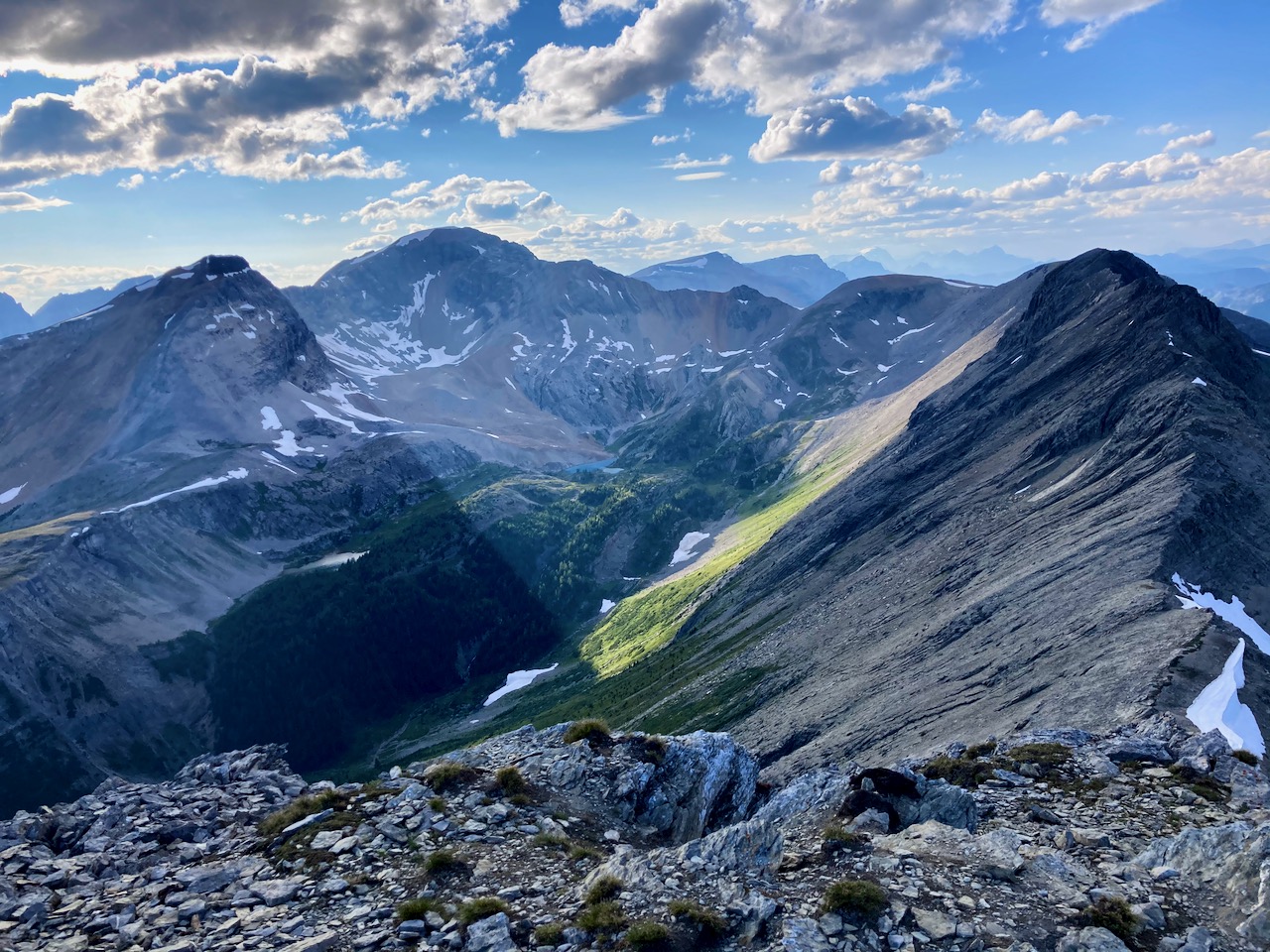
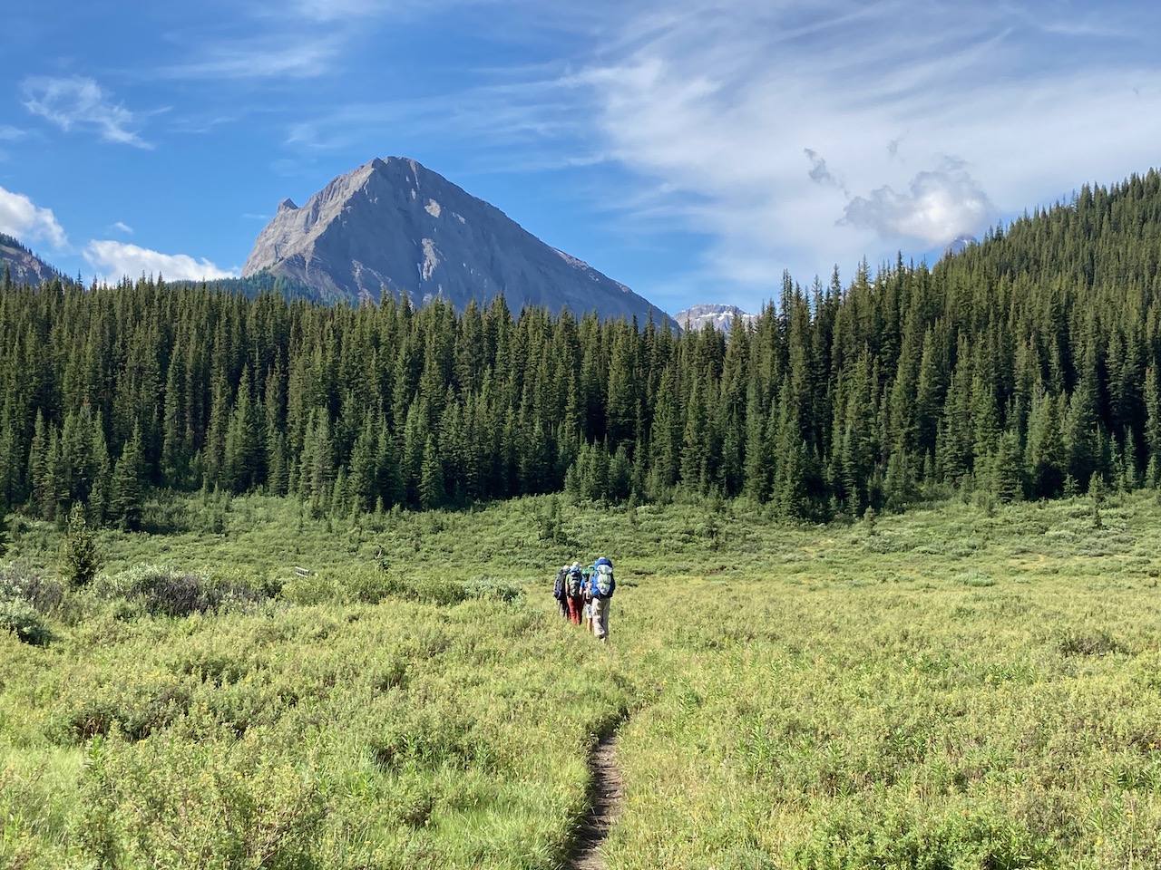
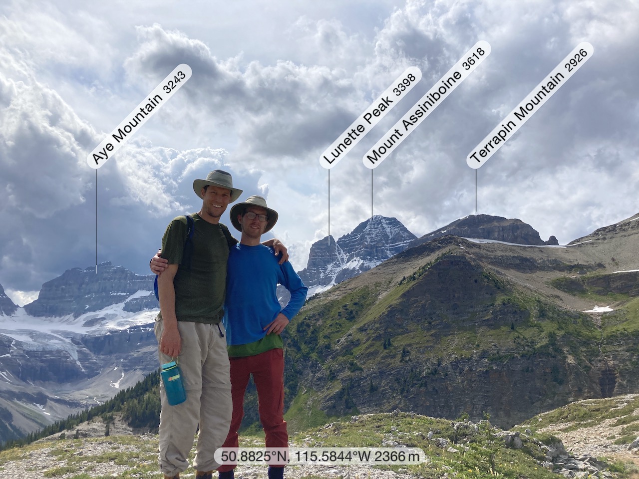
I do love alpine meadows.
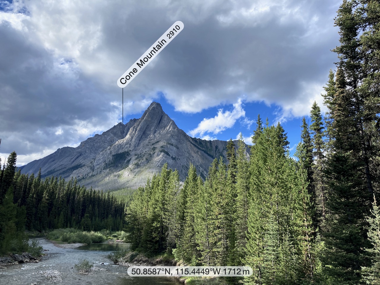
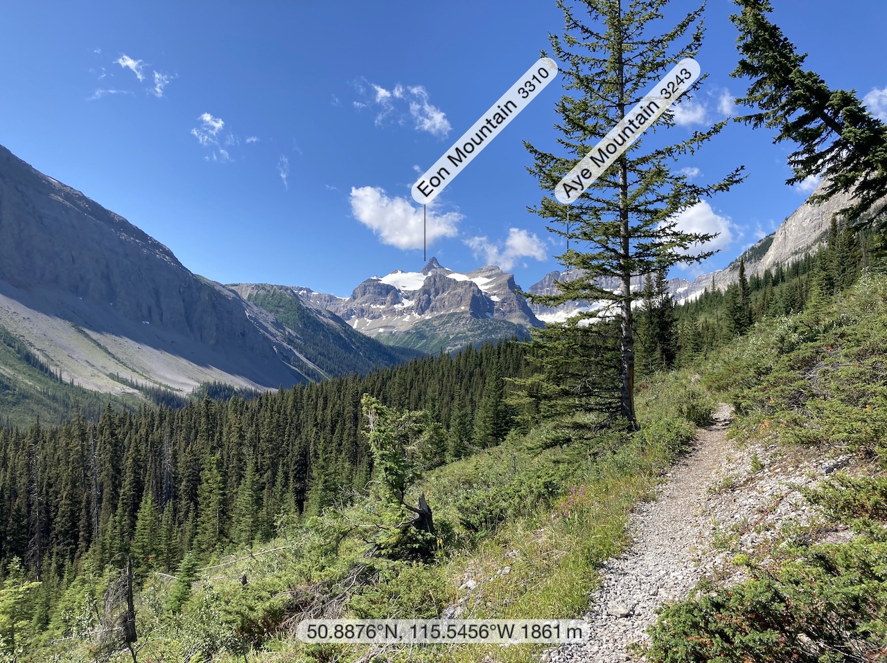
My free Peakfinder app was useful in identifying mountains. You need to download the data in advance before going offline.
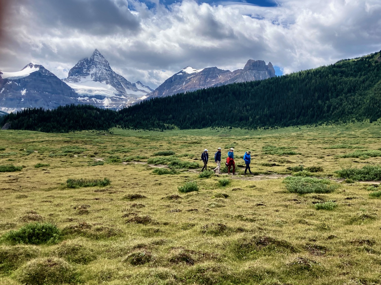
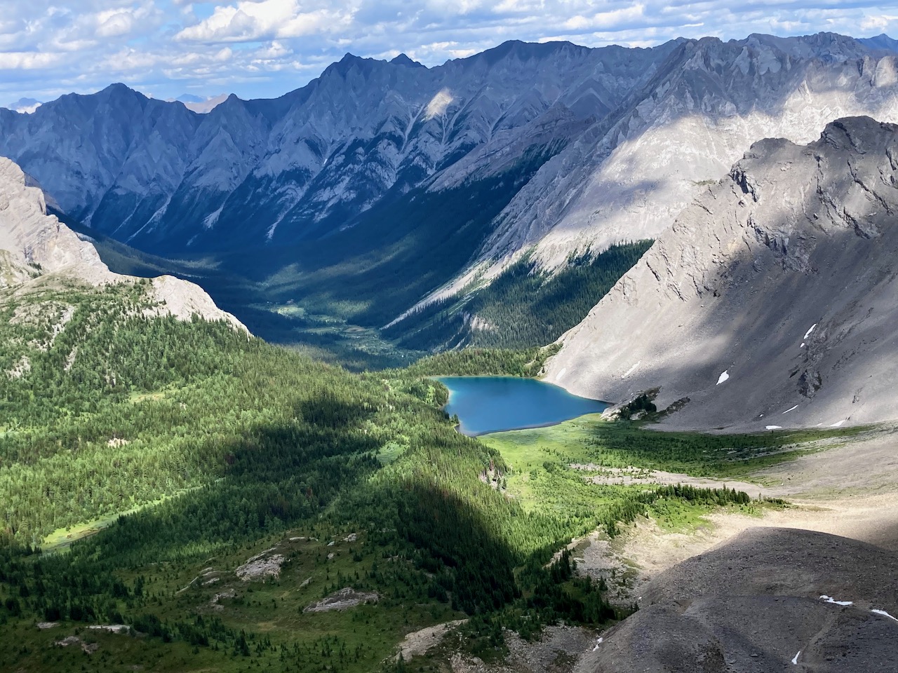
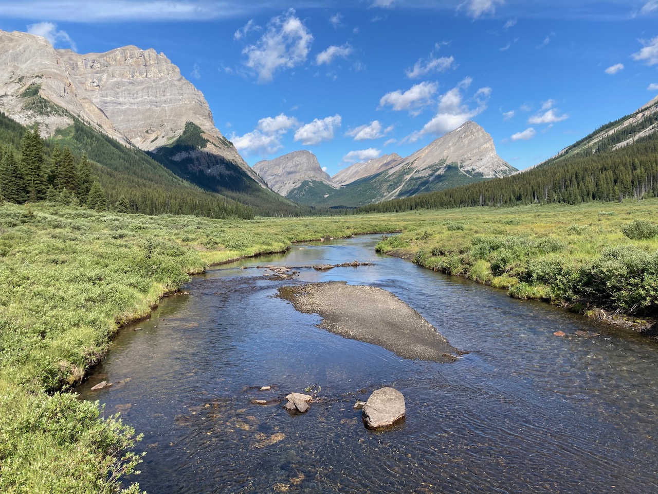
Gorgeous Marvel Lake.
Fantastic.
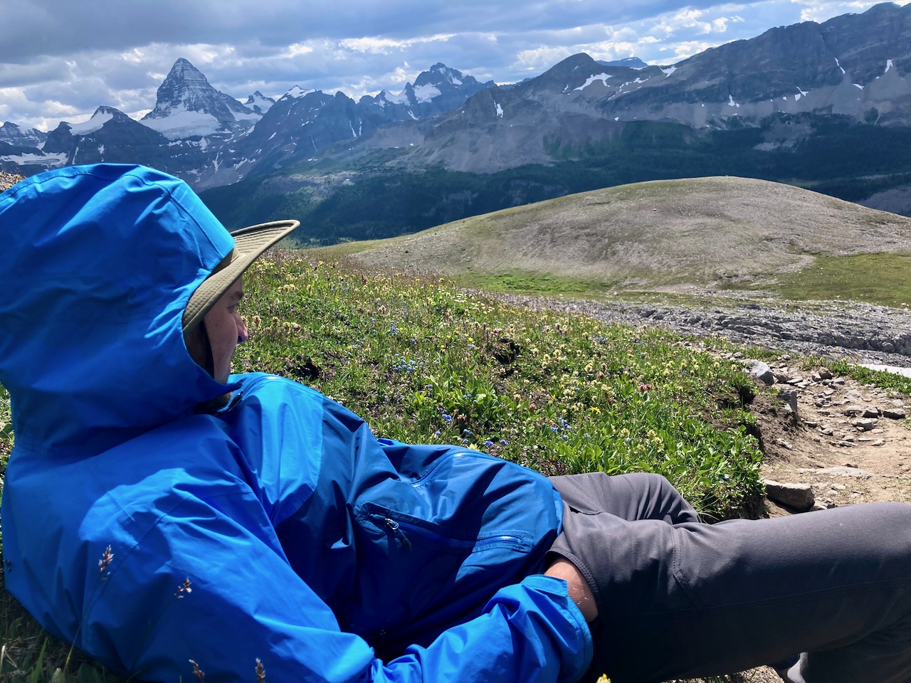
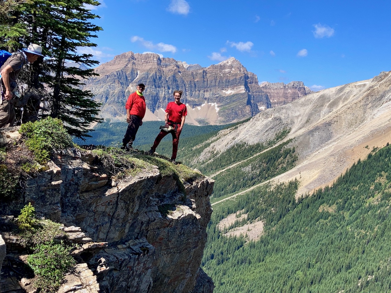
It’s a steep climb up to Assiniboine on switchbacks, but the views keep you going.
We stopped for lunch at the top.
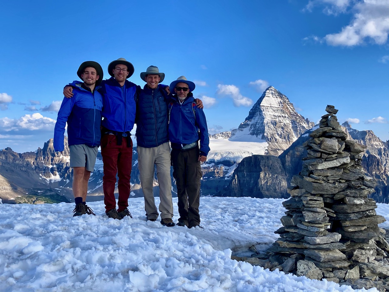
What a vista !
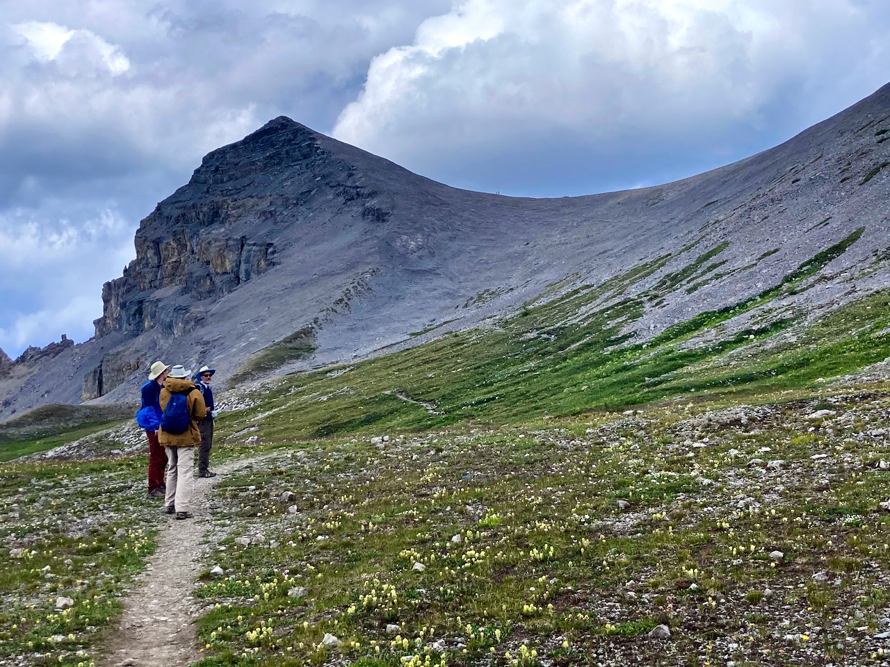
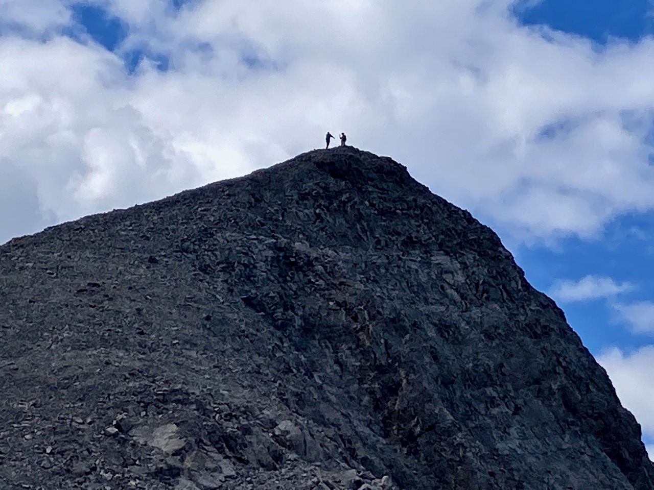
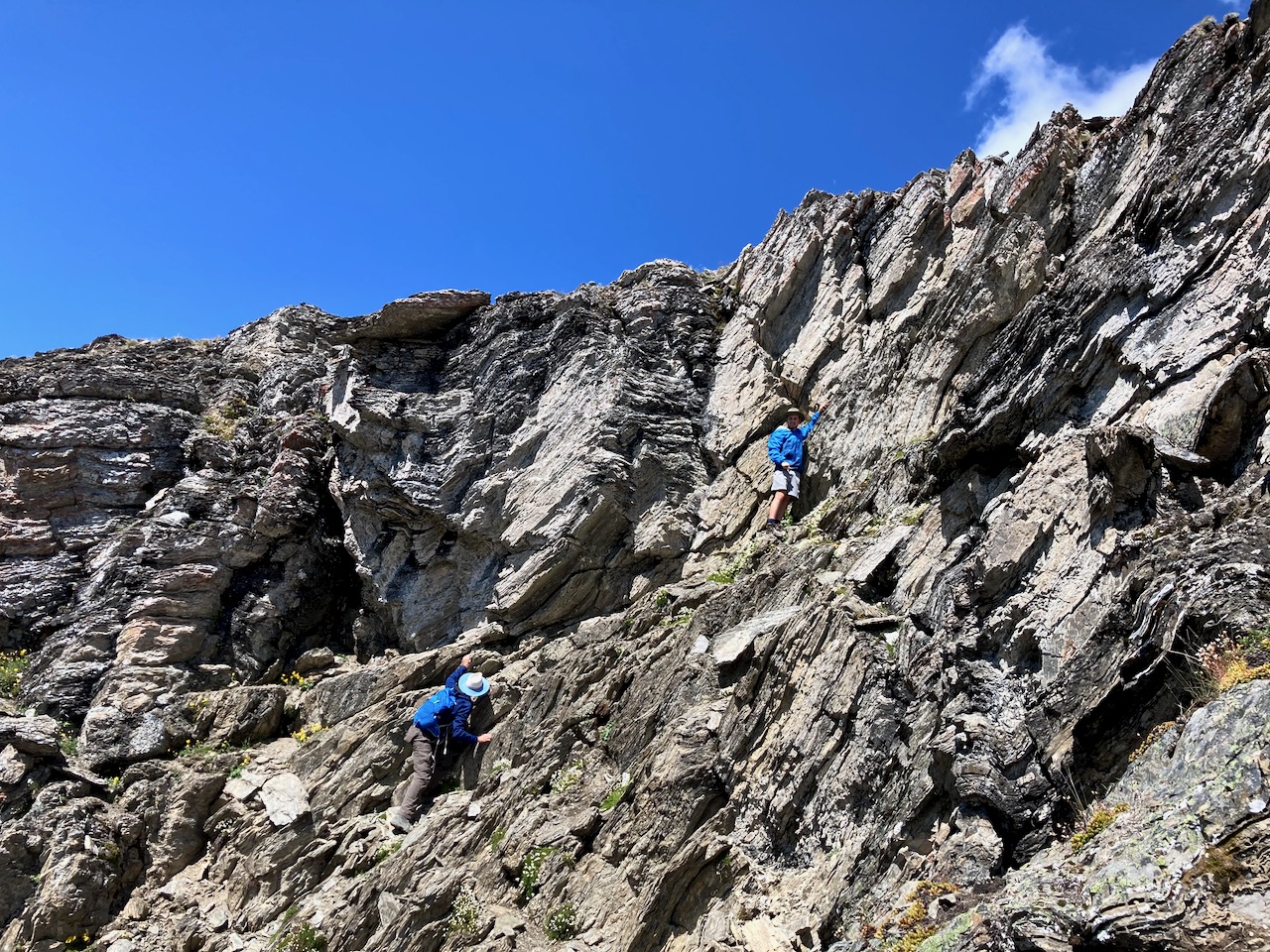
From there we scrambled up to a higher viewpoint, leaving our big packs below.
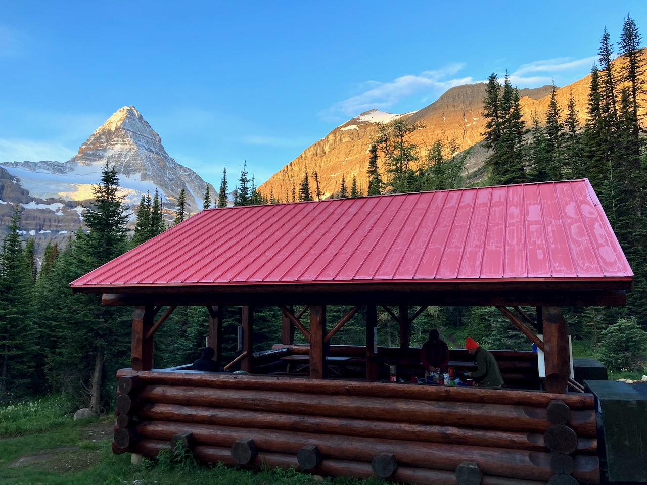
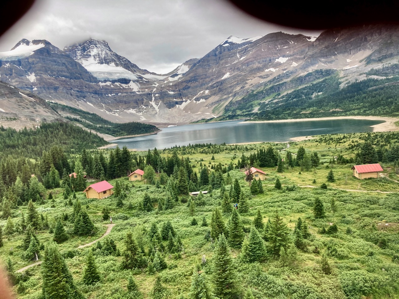
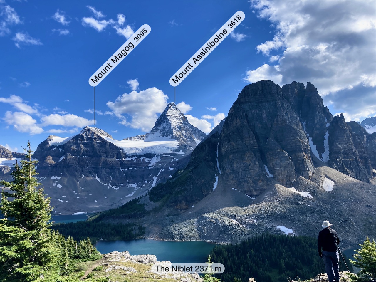
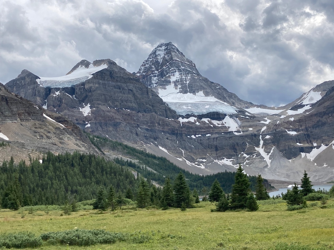
Eventually we strolled into Magog campground with fantastic views of the Matterhorn of the Rockies.
We’d walked about 28 km (17.6 miles) from Shark. Plus our side trip.
If you don’t have time to do the entire 220+ mile John Muir Trail, consider this shorter alternative.
40 miles
4 days
… Along this loop you pass by the beautiful Tenaya Lake, hike over Clouds Rest, take in several great views of Half Dome, and hike through Little Yosemite Valley and the Lost Valley.
The route has a peak elevation of 9,900 feet (atop Clouds Rest) and you climb roughly 9,000 vertical feet over the course of the ~40 mile trek.
Highlights include epic waterfalls, expansive views of Yosemite Valley and the surrounding granite peaks and domes, alpine lakes, grassy meadows, …