Anker PowerCore+ 26800 PD battery

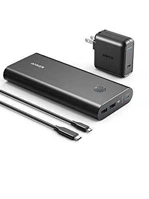
Though I’m now bikepacking with solar, to be SURE I’ve got enough juice to get my devices through a weekend hike I’ve also purchased the Anker PowerCore+ 26800 PD with 30W.

This is the largest portable battery currently allowed for airline carry-on baggage.

26800mAh of power charges most phones over 7 times, tablets at least 2 times or notebooks at least once.

There are two parts: battery and USB-C wall charger.

Charging devices from a wall socket (including the battery) is claimed to be up to 3x faster.

On longer cycling trips when I’m carrying a laptop, this unit IS powerful enough to recharge a MacBook Pro. That will help me keep up-to-date with photos, video and trip reports.

Andrew Skurka interview

Andrew Skurka is without question one of the most accomplished hikers in history.  A legend.

  • Alaska-Yukon Expedition (6 months, 4,700 miles),
  • Great Western Loop (7 months, 6,875 miles), and the
  • Sea-to-Sea Route (11 months, 7,775 miles).

He’s run a 2:28 marathon, as well.

The Ultimate Hiker’s Gear Guide: Tools & Tips to Hit the Trail, was published by National Geographic – over 125,000 copies sold.

Today he and his team lead people to exciting destinations, teaching skills along the way: planning, gear, fitness, food, navigation, responding to emergencies, etc.

In a recent podcast interview Andrew explains why he still prefers map and compass, using electronics as a back-up.  And you have to believe him since it was sponsored by the Gaia GPS app.

Click PLAY or listen to it clicking through via Twitter.


Devil’s Garden Loop, Arches UTAH

Arches National Park in Utah attracts over one million visitors a year with it’s namesake geologic wonders. …

Hiking the Devil’s Garden Loop is a great way to escape the throngs and see nine aches, including the longest arch in the park.

Easy access out of Moab.

Distance: 7.2 miles
Time: 4-6 hours
Difficulty: Moderate
Elevation gain: 470 ft
Dogs: No
When to go: Year-round

Landscape Arch

Social Hiker – Hiking the Devil’s Garden Loop in Arches National Park

Cycle hiking Gabriola Island, B.C.

Trip report by BestHike editor Rick McCharles.

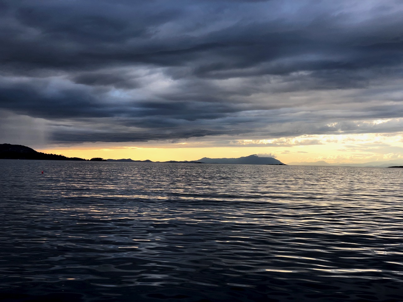
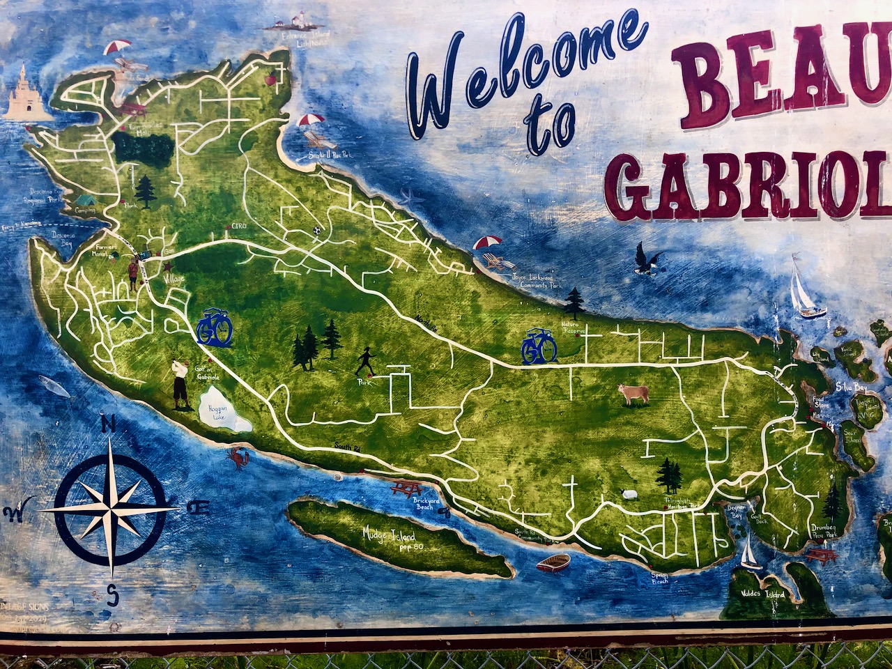
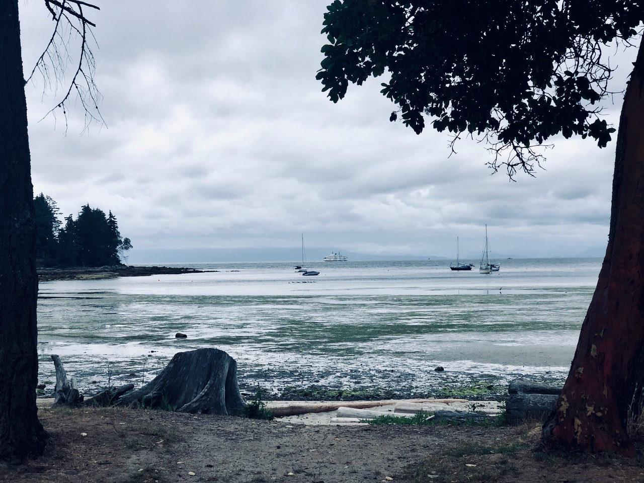
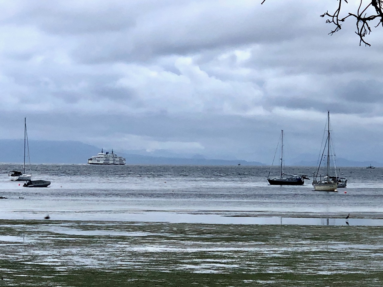
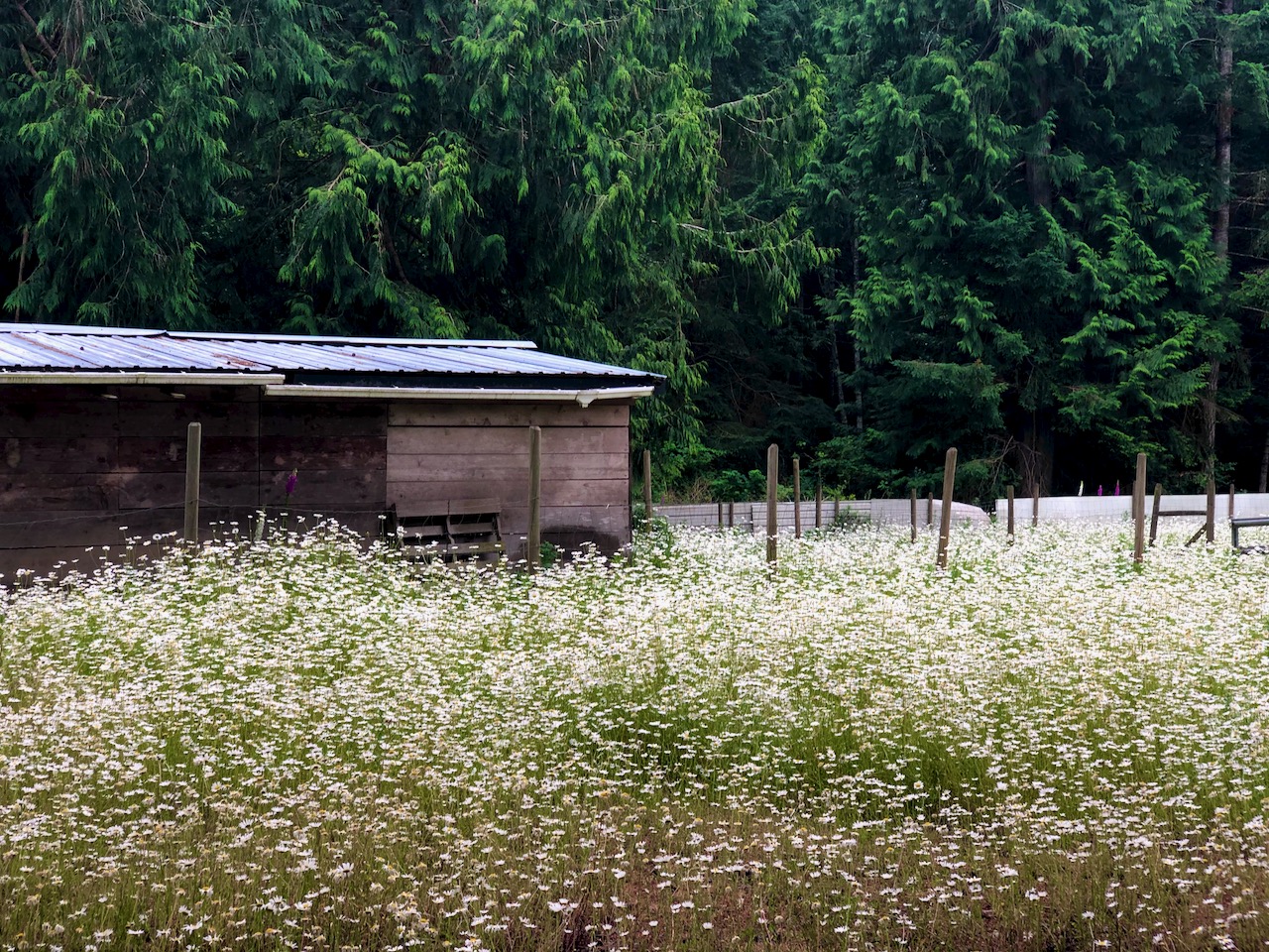
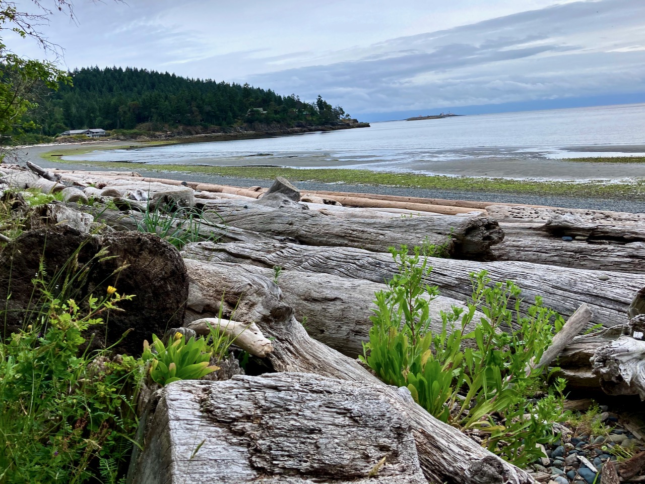
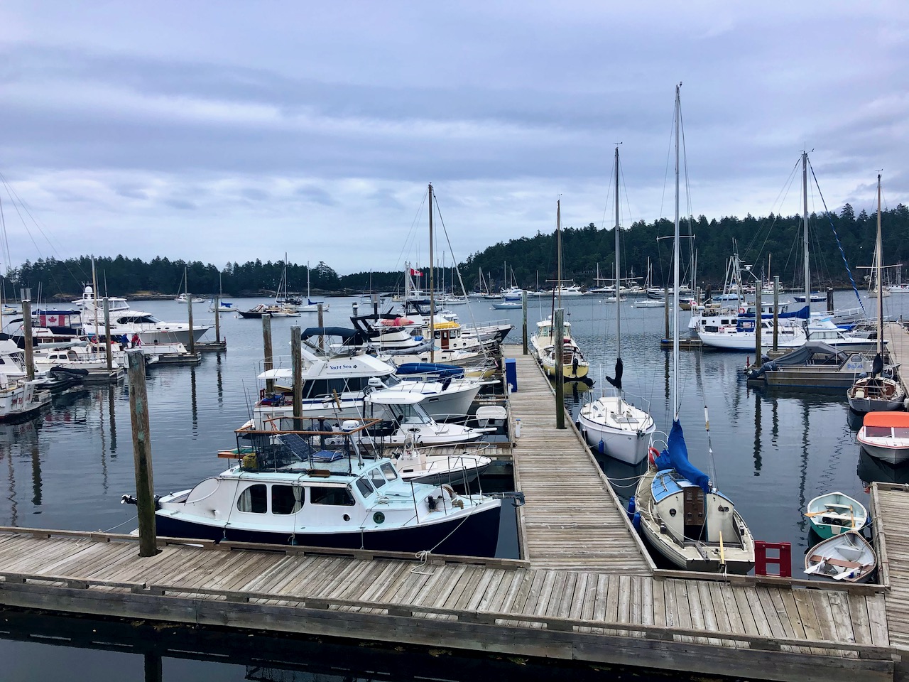
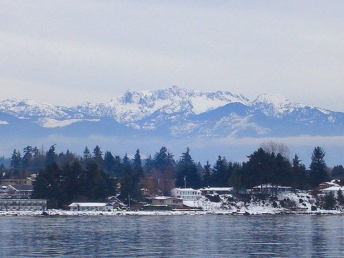
On July 1, 2020 I cycle toured Gabriola Island, the first time I’d been back to the island since I was a kid on family summer vacation.

Gabriola is about 14 kilometres (9 mi) long by 4.2 kilometres (2.6 mi) wide, about the same land mass as Bermuda.

I caught the ferry over from Nanaimo in the early evening.

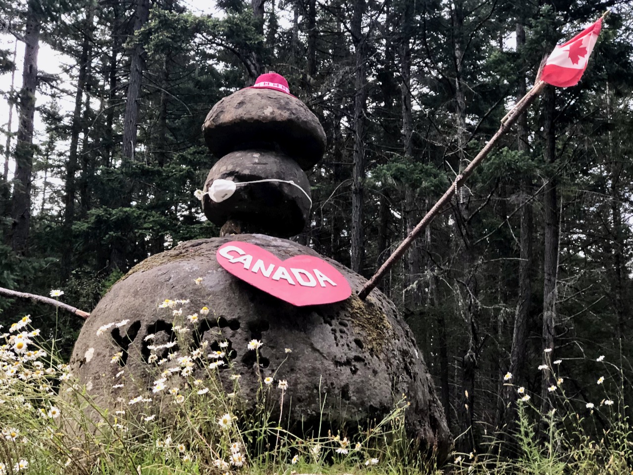
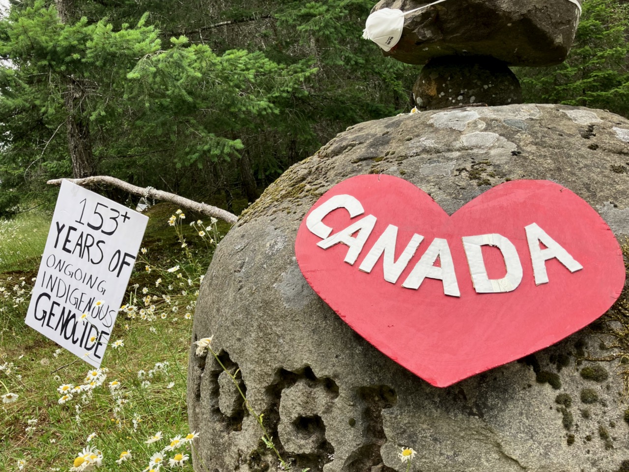
Next morning, while celebrating Canada Day, I was reminded that descendants of the original inhabitants are still there — the Snuneymuxw, a First Nation of the Coast Salish People.

Sobering.

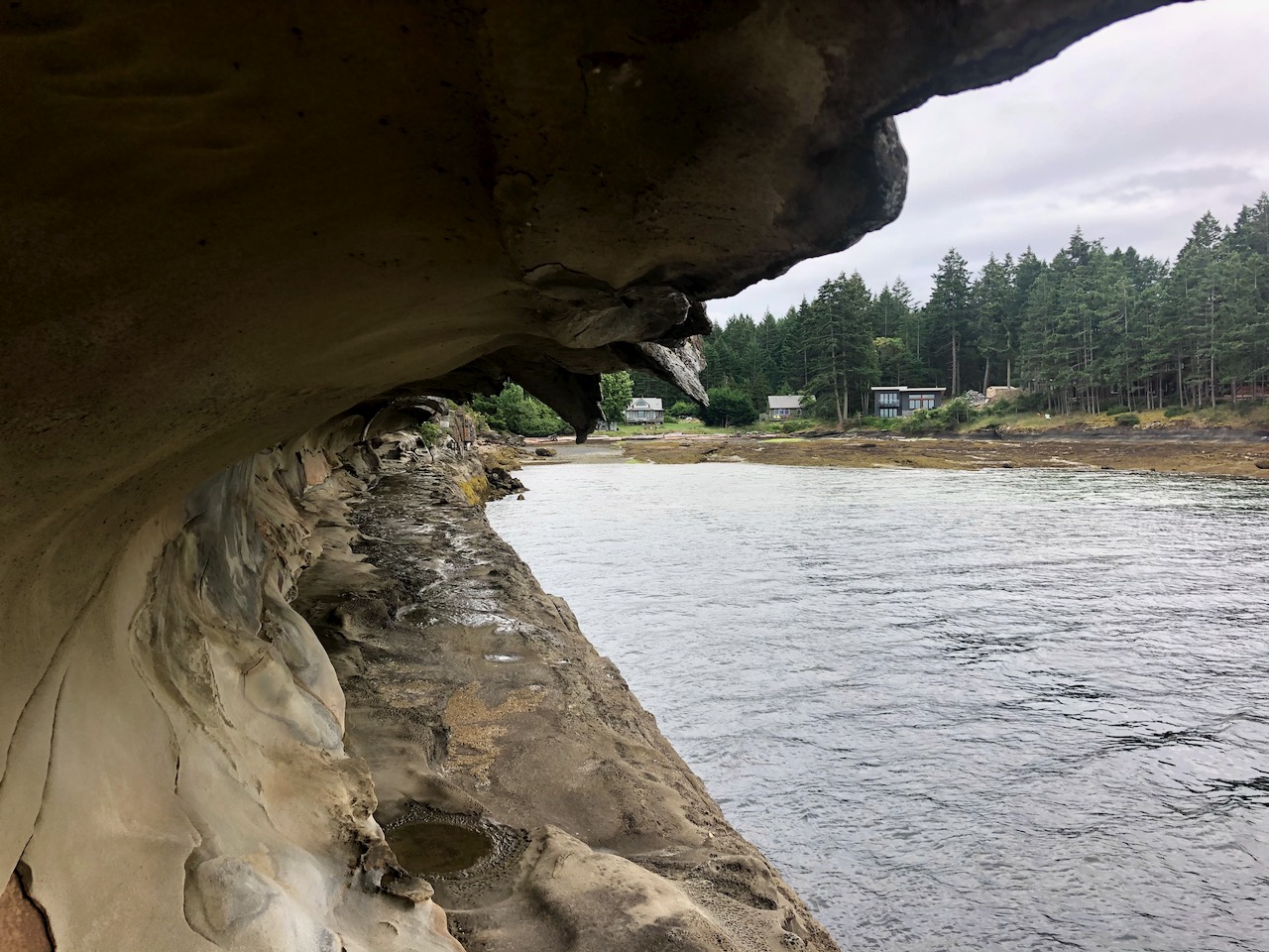
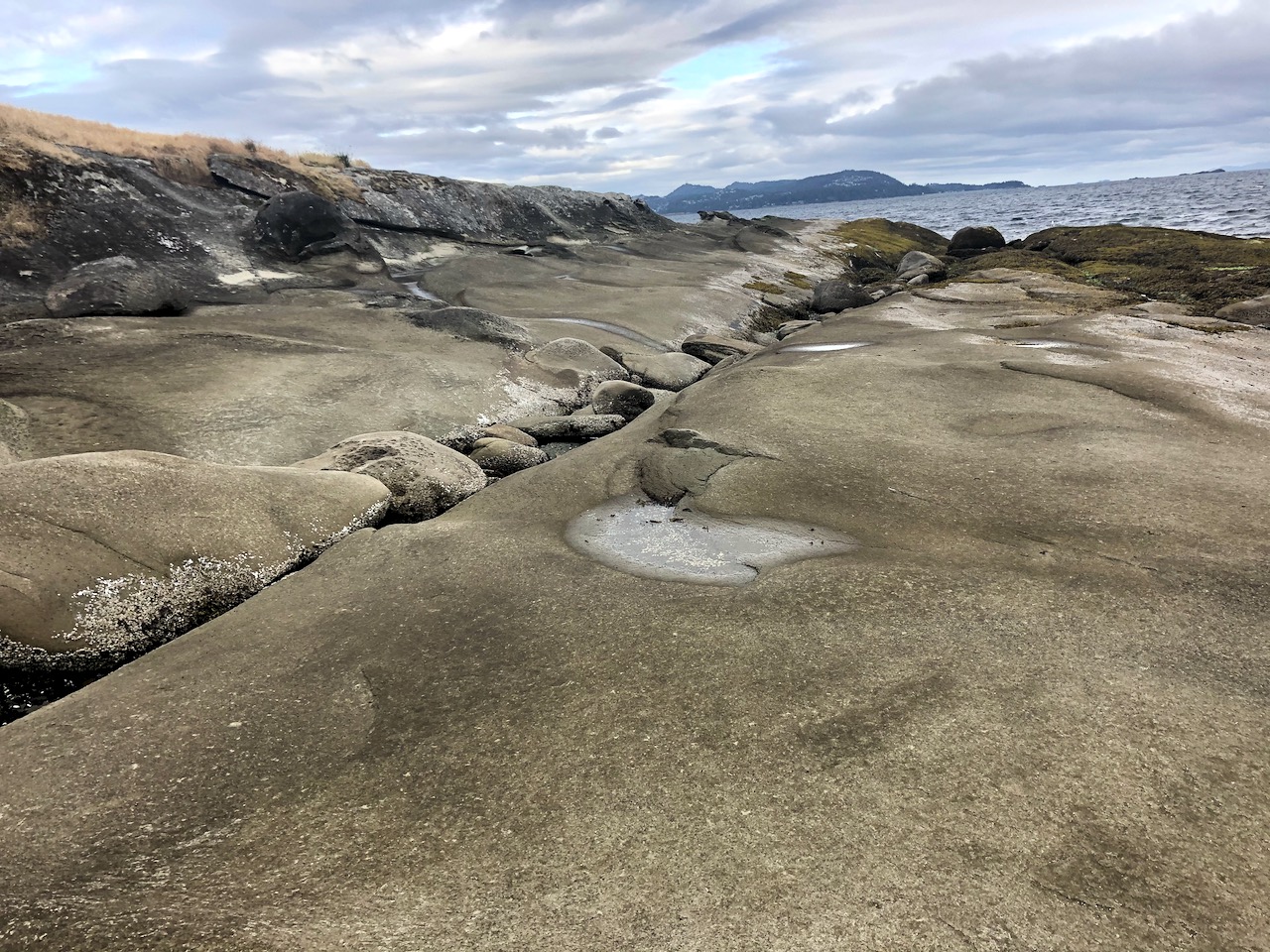
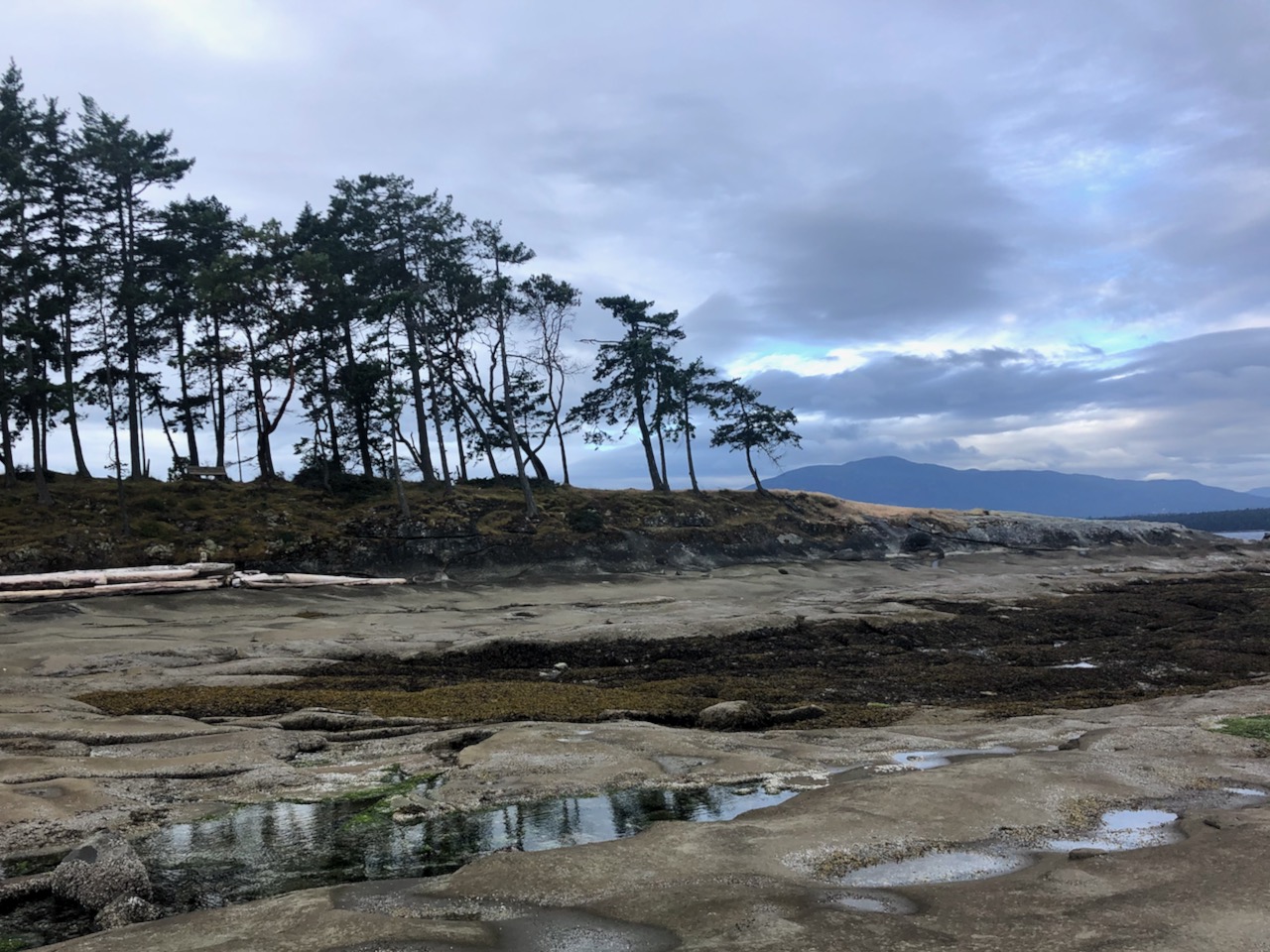
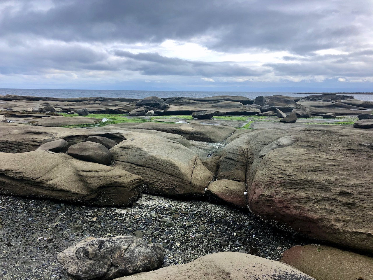
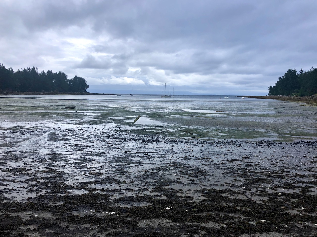
First stop was the Malaspina Galleries, a sandstone cliff carved by wind and waves. Lovely shoreline, as well.

To navigate I used Cycling the Islands: A Guide to Scenic Routes on the San Juan and Gulf Islands by John Crouch.

And Hiking Trails 2: South-Central Vancouver Island and the Gulf Islands by Richard K. Blier.

Gabriola is less developed than I anticipated.  A definite hippy vibe.

I circled the island counter-clockwise, stopping next at Sandwell Provincial Park.

Popped in briefly to Joyce Lockwood Community Park.

There’s a marina and campground at Silva Bay at the far end of the island.

Cycling and hiking temperate rain forest is wonderful when it’s not raining. And the rain held off this day.

My last stop was Drumbeg Provincial Park.

One day was enough to explore Gabriola. All good. The hiking trail infrastructure is excellent for a small island. Paths well marked.

All trails are short and easy.

I recommend Gabriola.

9 great hiking destinations in Finland

Hendrik Morkel, editor of Hiking in Finland, gives us the list:

    • Hetta-Pallas Trail

    • St. Olavs Trail

    • Sipoonkorpi National Park

    • Repovesi National Park

    • Helvetinjärvi & Seitseminen National Parks

    • Ruka-Kuusamo Area

    • Urho Kekkonen National Park

    • Pöyrisjärvi

    • Käsivarsi Wilderness Area


Out There: A Voice from the Wild by Chris Townsend

Chris Townsend (born 1949) is the hiking author who’s influenced me most.

He’s written over 20 books, including Cicerone guidebooks,  and countless articles

I started with High Summer: Backpacking The Canadian Rockies (1989).

He’s most famous for The Backpacker’s Handbook.

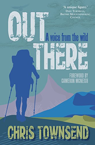
But If you’ve never read Chris Townsend, I’d recommend you start with Out There: A Voice from the Wild. I recently read the Kindle edition while hiking on Vancouver Island.

Chris reflects back on the takeaways from all those trips.

Drawing from more than forty years of experience as an outdoorsman, and probably the world’s best known long distance walker who also writes, Chris Townsend describes the landscapes and wildlife, the walkers and climbers, and the authors who have influenced him in this lucid and beautiful book.

Writing from his home in the heart of the Cairngorms he discusses the wild, its importance to civilisation and how we cannot do without it.

Climbing Mt Arrowsmith, Vancouver Island

Trip report by BestHike editor Rick McCharles. 

Mount Arrowsmith 1,819 m (5,968 ft) is the most prominent peak seen from my parents home in Vancouver Island.

It’s close to Port Alberni, B.C.

Alanna@VanIsle – Arrowsmith from Parksville in winter

The most popular hike to the top is called Judges Route.  Details.

  • 6-7 km (4 miles) roundtrip
  • elevation gain 1,000m (3,280ft)

Finding the trailhead can be confusing. Google Maps has it wrong, for example.

I used the free Maps.me app — that worked.

Maps.me

It’s 4-6 hours return.  Challenging.  Some exposure. A bit of scrambling.  Some route finding.  I was briefly lost 3 times.

There are some views on the way up.

On June 25th, 2020 I didn’t have much snow.

The summit is interesting.

From the top you can see from Port Alberni to Mt. Baker in Washington State.

I was inspired to try one of my rare panoramas.

Click for larger version.

Great day.

Starting up at 4pm I was last hiker on the mountain.

What time is blast off? 😀


Buttle Lake Campground, Strathcona Park B.C.

Trip report by BestHike editor Rick McCharles

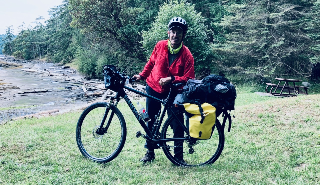
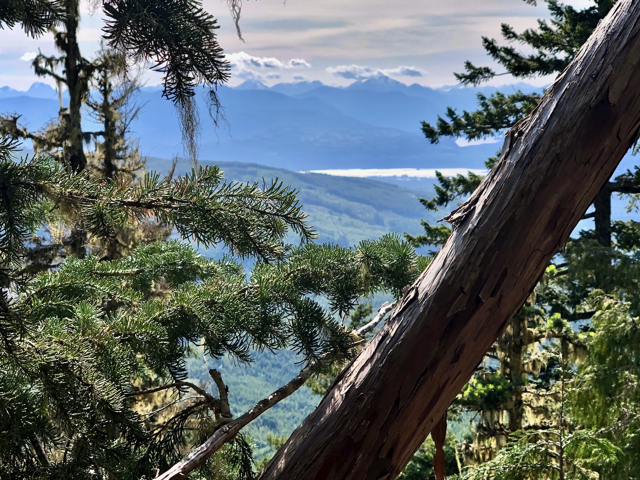
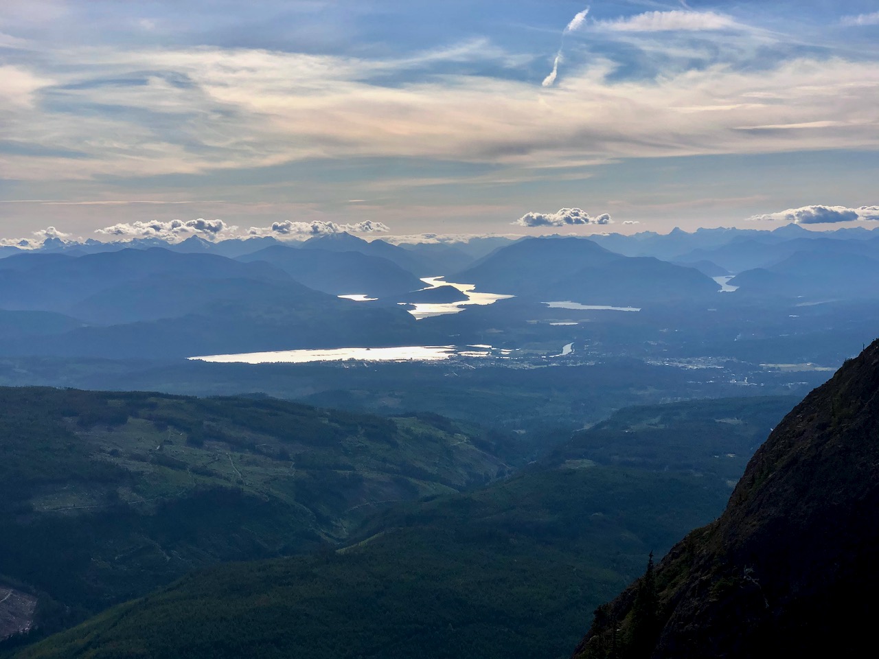
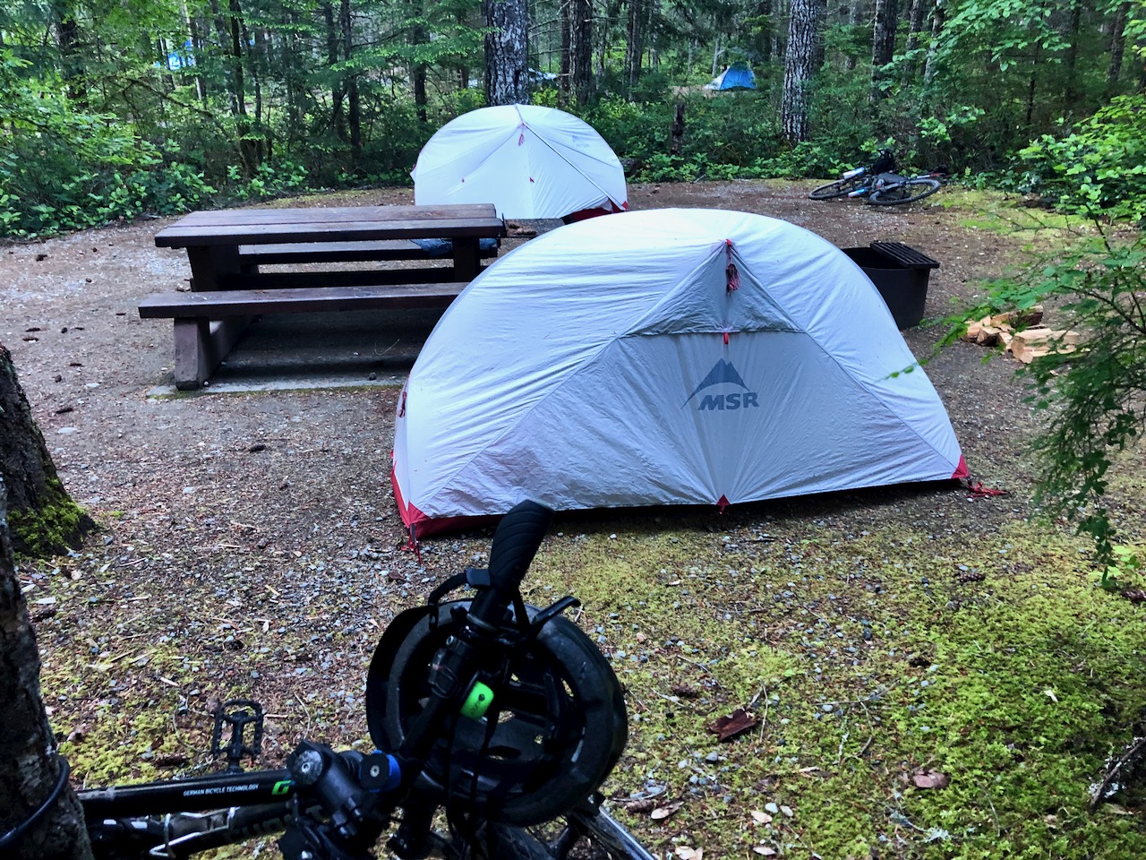
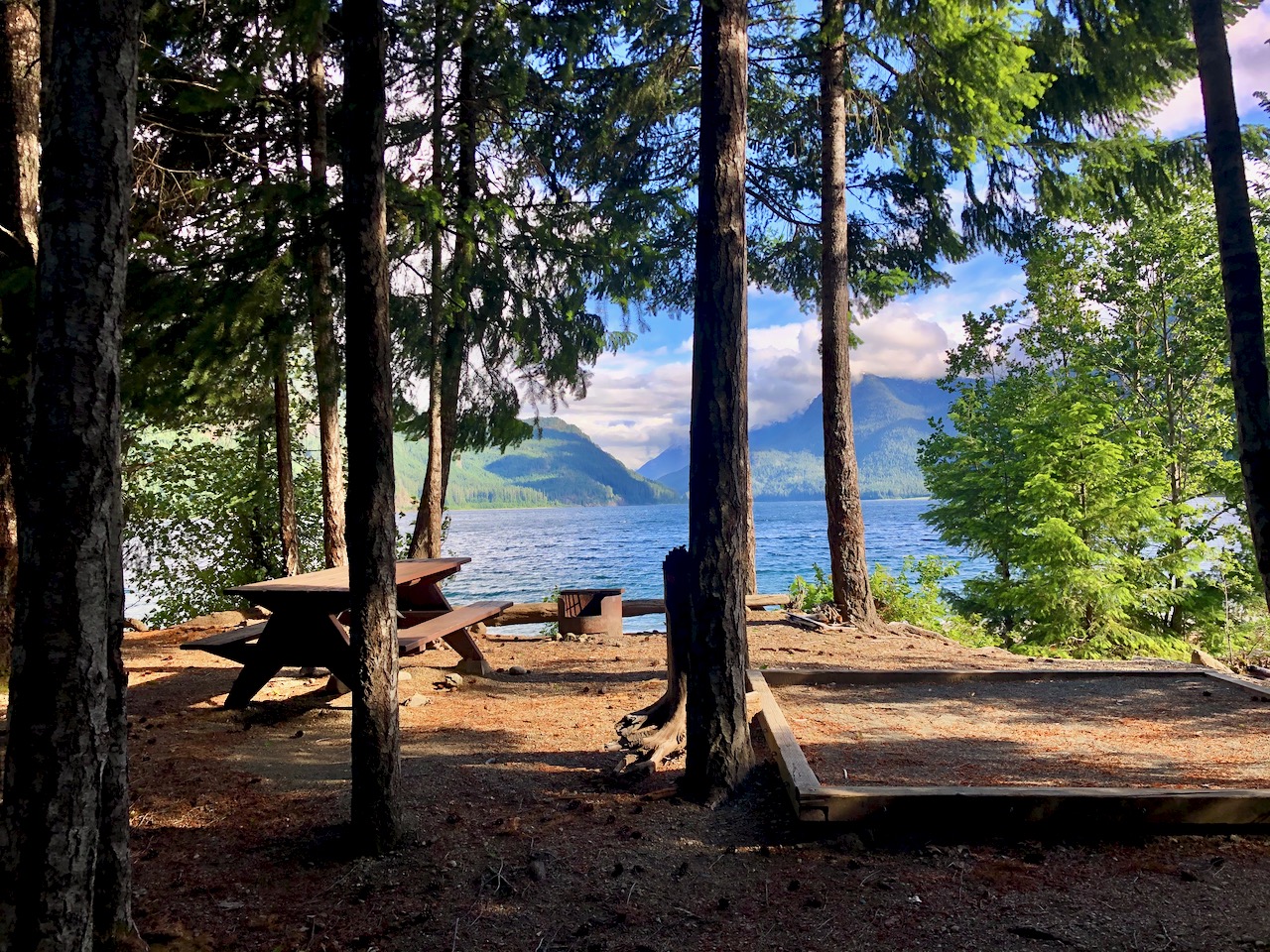
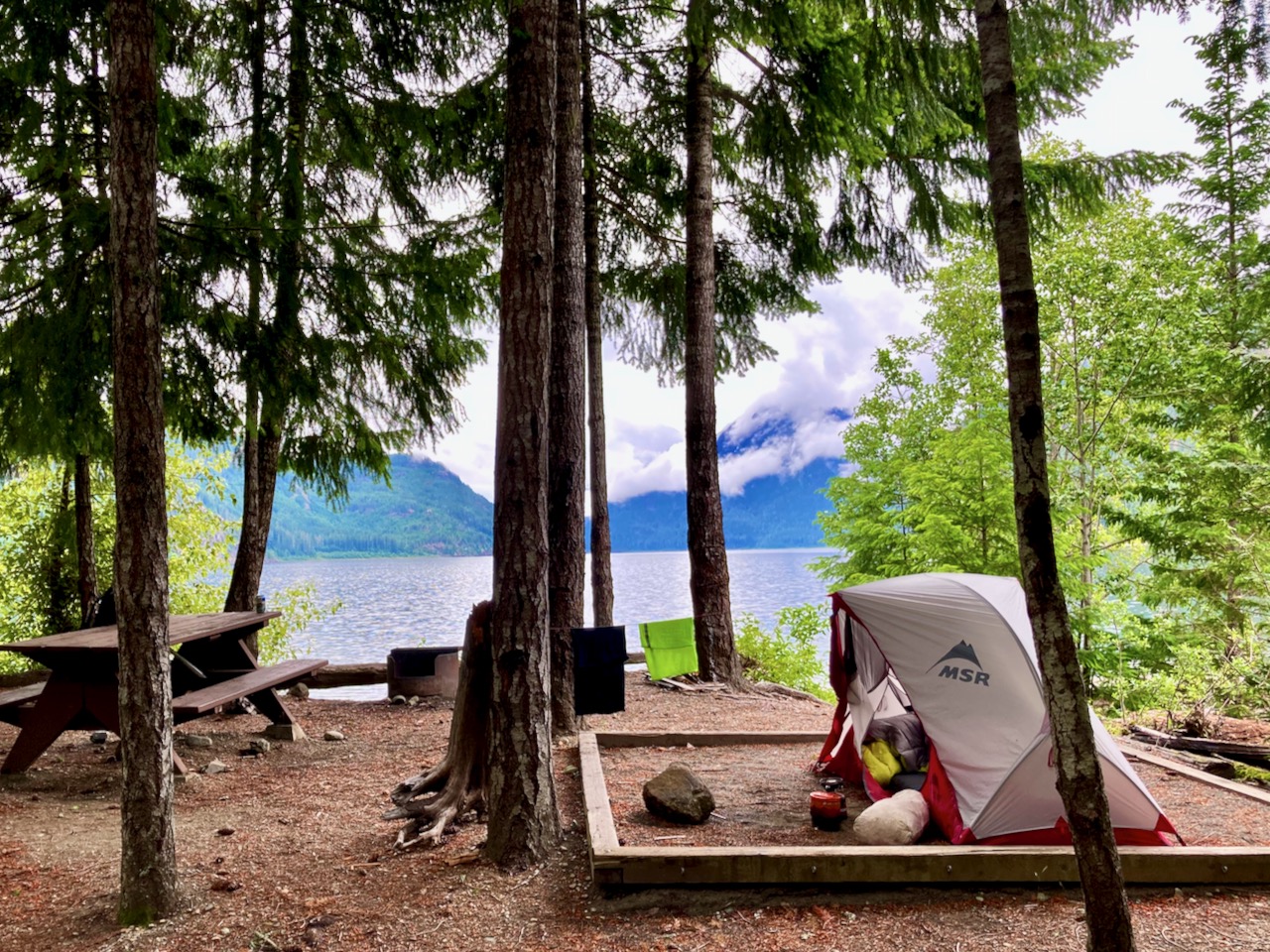
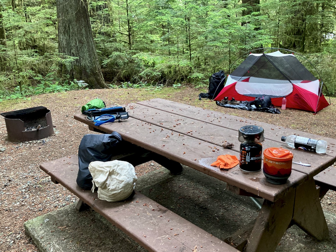
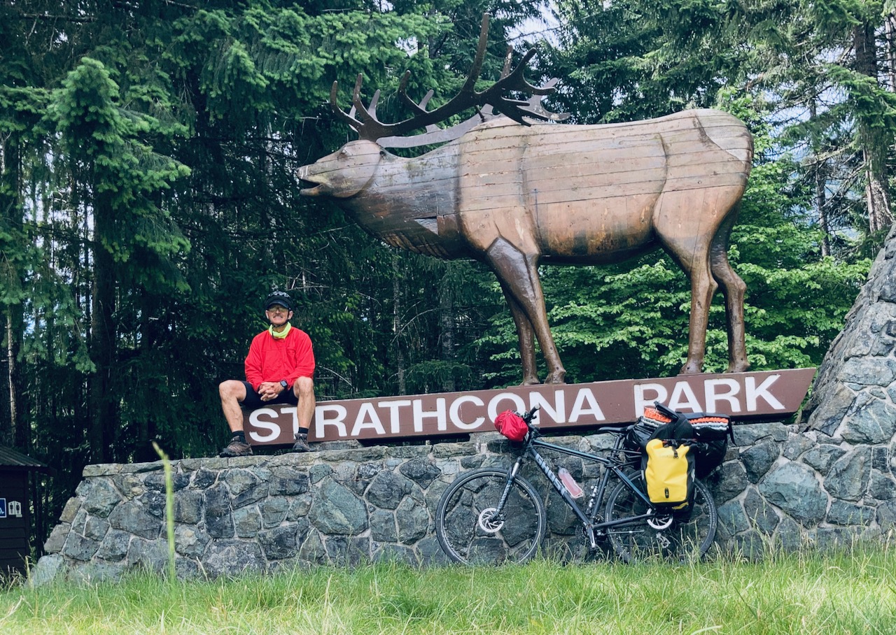
First time to this part of Strathcona Provincial Park,  Vancouver Island, I decided to tent at the biggest campground on arrival — Buttle Lake.

And was glad I did.

Easy access from Campbell River.  I cycled.

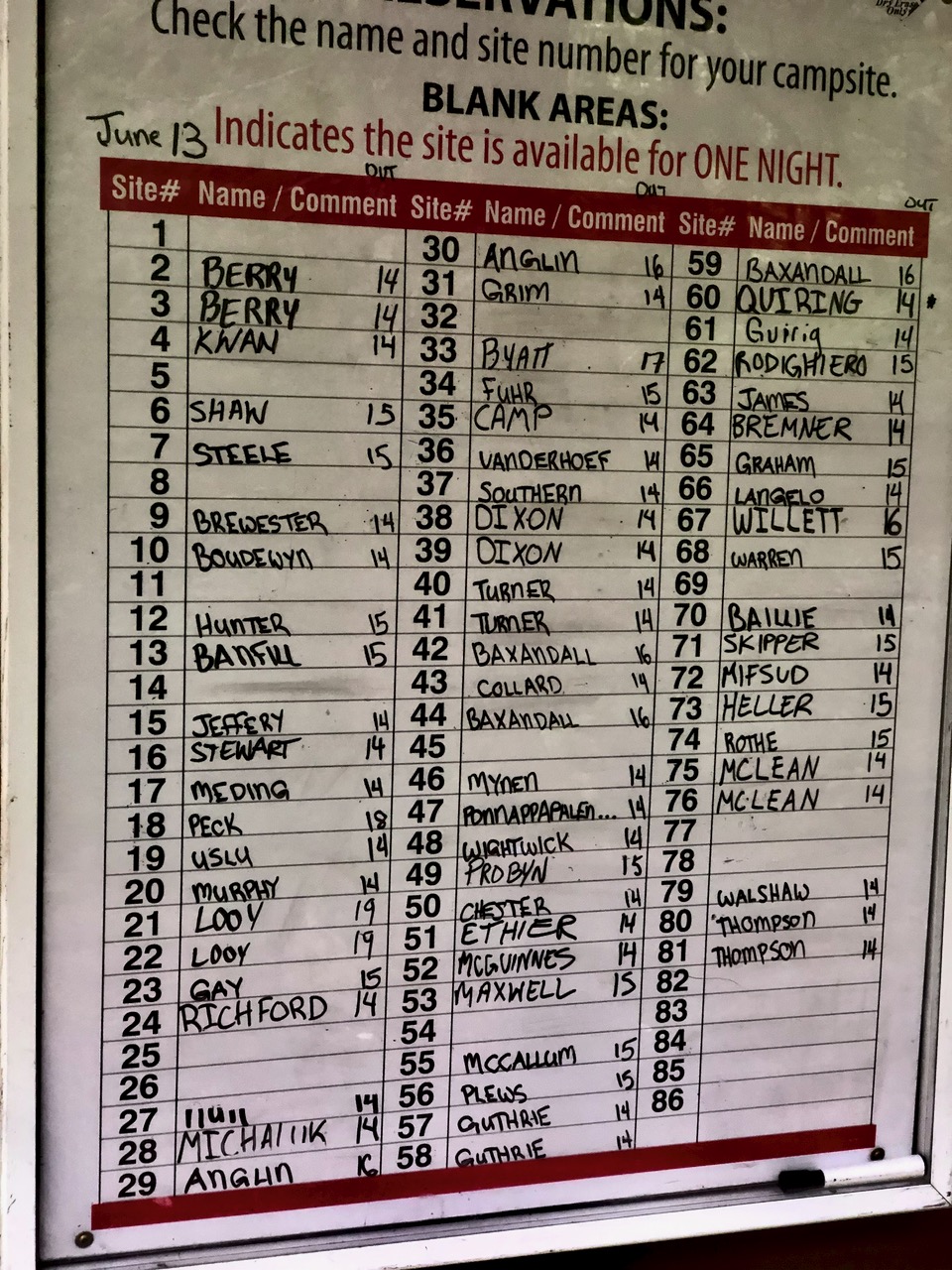
Campgrounds had just opened following the COVID-19 shutdown.  Their reservation system was still getting going.

I could choose any site not listed on the whiteboard.

There was one other cyclist that night — John, a cabinet maker from Vancouver — who was out-of-work at the moment from his set design job for the  TV series Riverdale.

We decided to share a site and campfire.

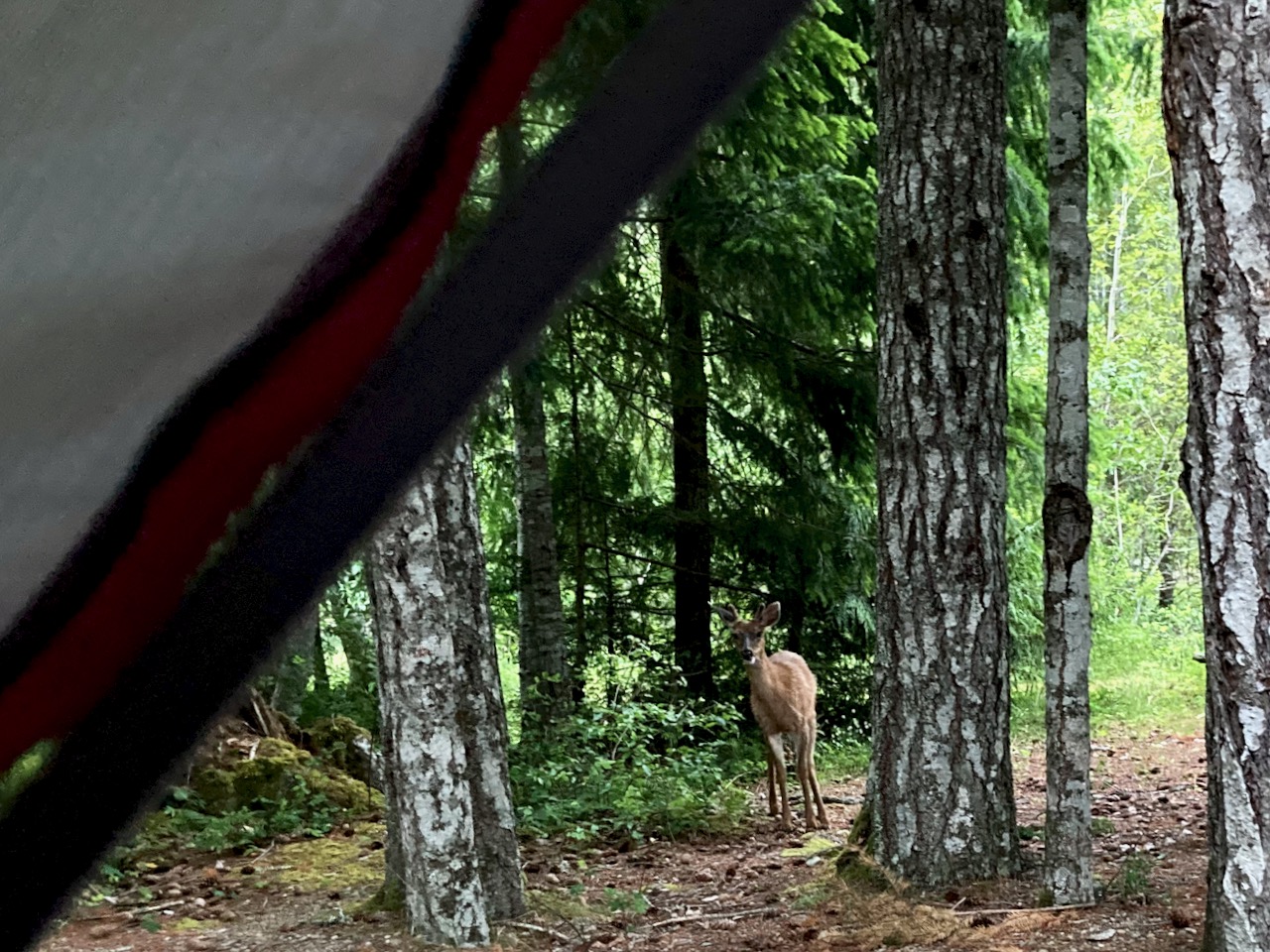
After setting up the tent, I checked out the many short hikes accessible from camp.

Best was the Beach Access Trail

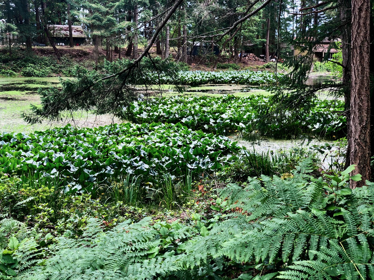
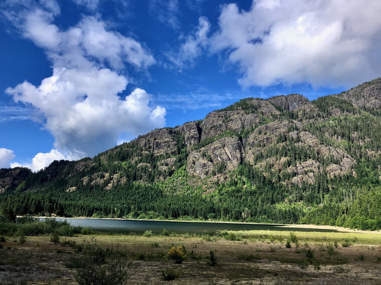
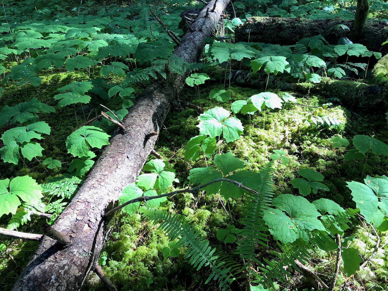
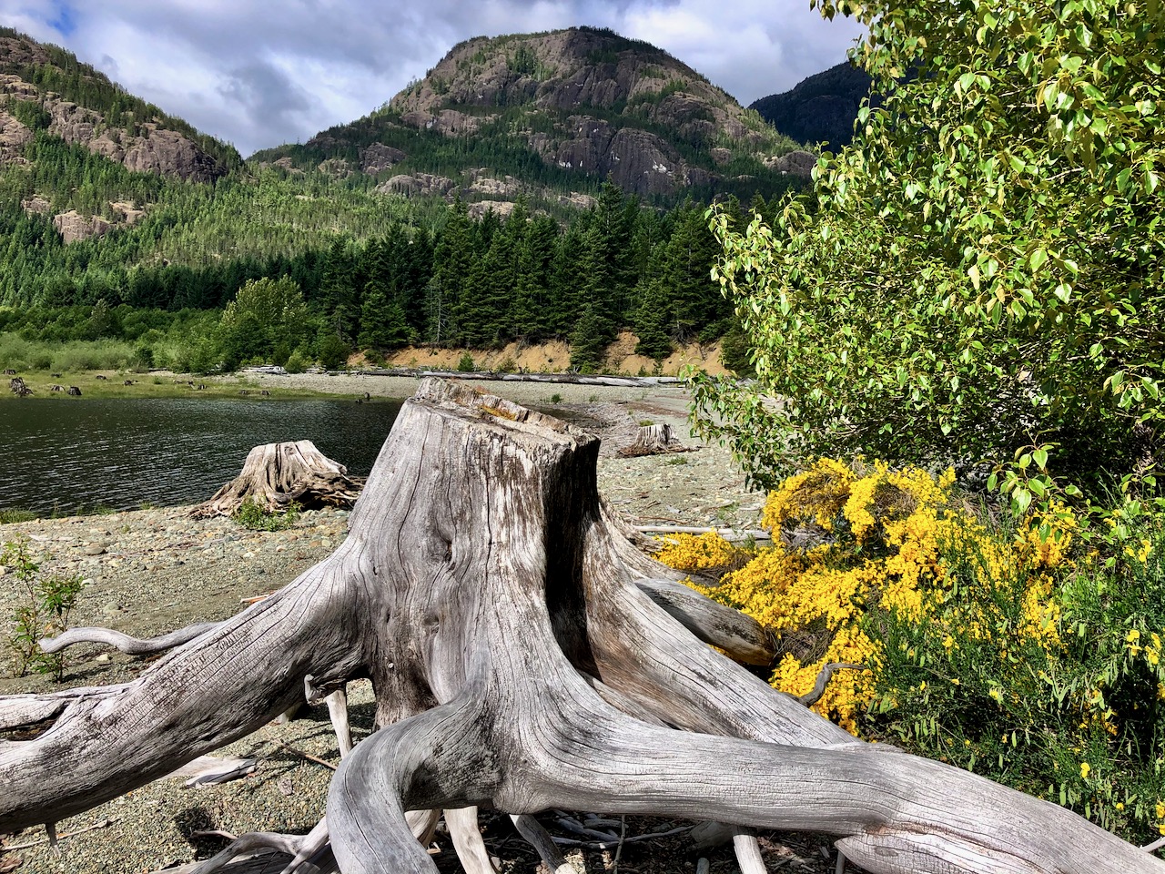
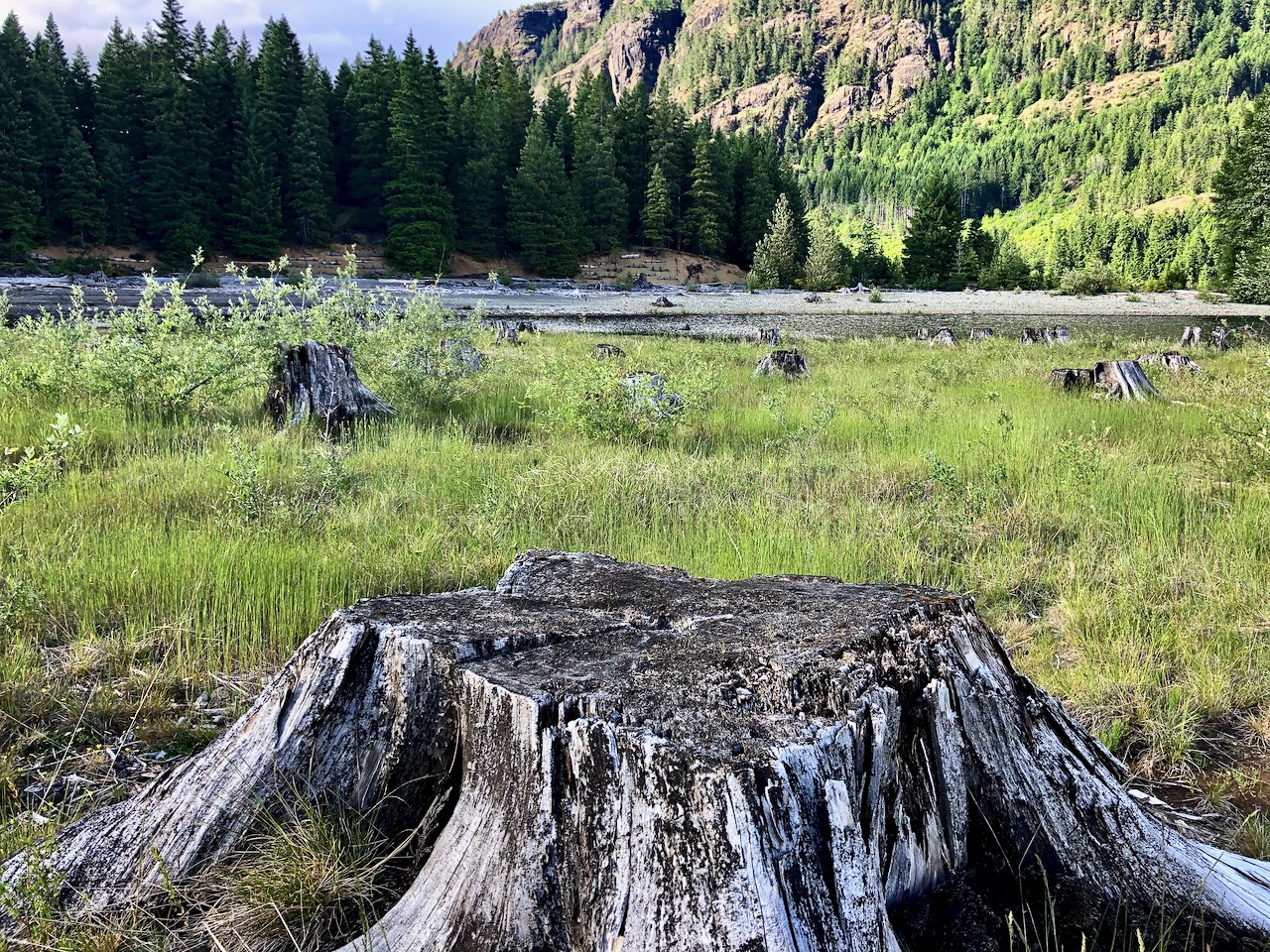
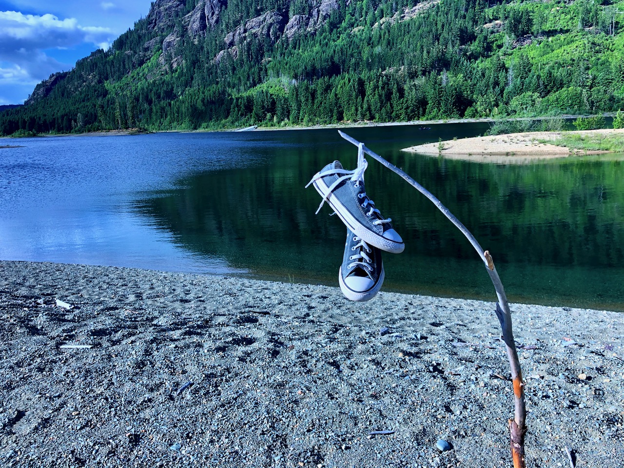
This lake has many drowned tree stumps. Very evocative.

I stumbled upon 5 campsites not shown on any map.  Cool.

The Ranger informed me they were Marine Campsites, designated for those fishing and boating.  BUT that they were free until June 15th.

John and I booked in for the night of June 14th.

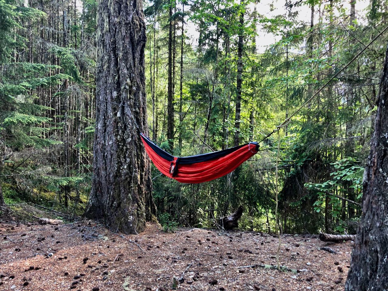
I can hardly recall a more perfect camp. 

Buttle, like most high mountain lakes, is prone to high winds due convection created by the sun heating the canyon walls during the day. Fishermen try to get off the lake by eleven.

Early next morning, I had a visitor.

Click PLAY or watch it on YouTube.

The other big car campground in this part of the Park is called Ralph River. On paper, it’s similar. But I would recommend you camp at Buttle Lake instead, if you can.

Ralph River Campground Strathcona

The best hiking guidebook is Exploring Strathcona Park. Dead tree version available only. 

See our list of the best hikes in North America

Strathcona Park BC – Buttle Lake area day hikes

By BestHike editor Rick McCharles

Strathcona Provincial Park,  Vancouver Island, offers many challenging multi-day adventures. And many very challenging day hikes.

In this post, however, I focus on easy highway-accessible day hikes recommended for kids, families, everyone.

I hiked most of these.  All good.

Almost everyone stops for the short walk to the viewing platform at Lady Falls.

  • Elk River Viewpoint
  • Lupin Falls
  • Auger Point
  • Karst Creek
  • Wild Ginger
  • Shepherd Creek

Without question Lower Myra Falls is best of the easy day hikes.  Don’t miss it.   And bring a bathing suit if weather is good.


Auger Point Fire Trail was interesting in seeing how some trees can survive major forest fires.


If you stay at Buttle Lake campground, I loved their Beach Access Trail.

I was cycling this trip, hiding my bike in the trees between each short nature walk.

BestHike editor Rick McCharles

The best hiking guidebook is Exploring Strathcona Park. Dead tree version available only. 

See our list of the best hikes in North America