Englishman River Trail, Vancouver Island

Trip report by BestHike editor Rick McCharles.

AllTrails calls this adventure the Englishman River Trailway.

But you don’t need follow the AllTrails 10.5km out and back route.

It’s a network of mountain biking / walking trails on the west side of the Englishman River. You can’t really get lost so long as you parallel the water.

I spend a lot of time here as I have family in Parksville.

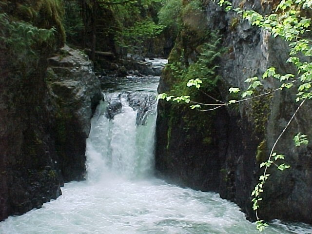
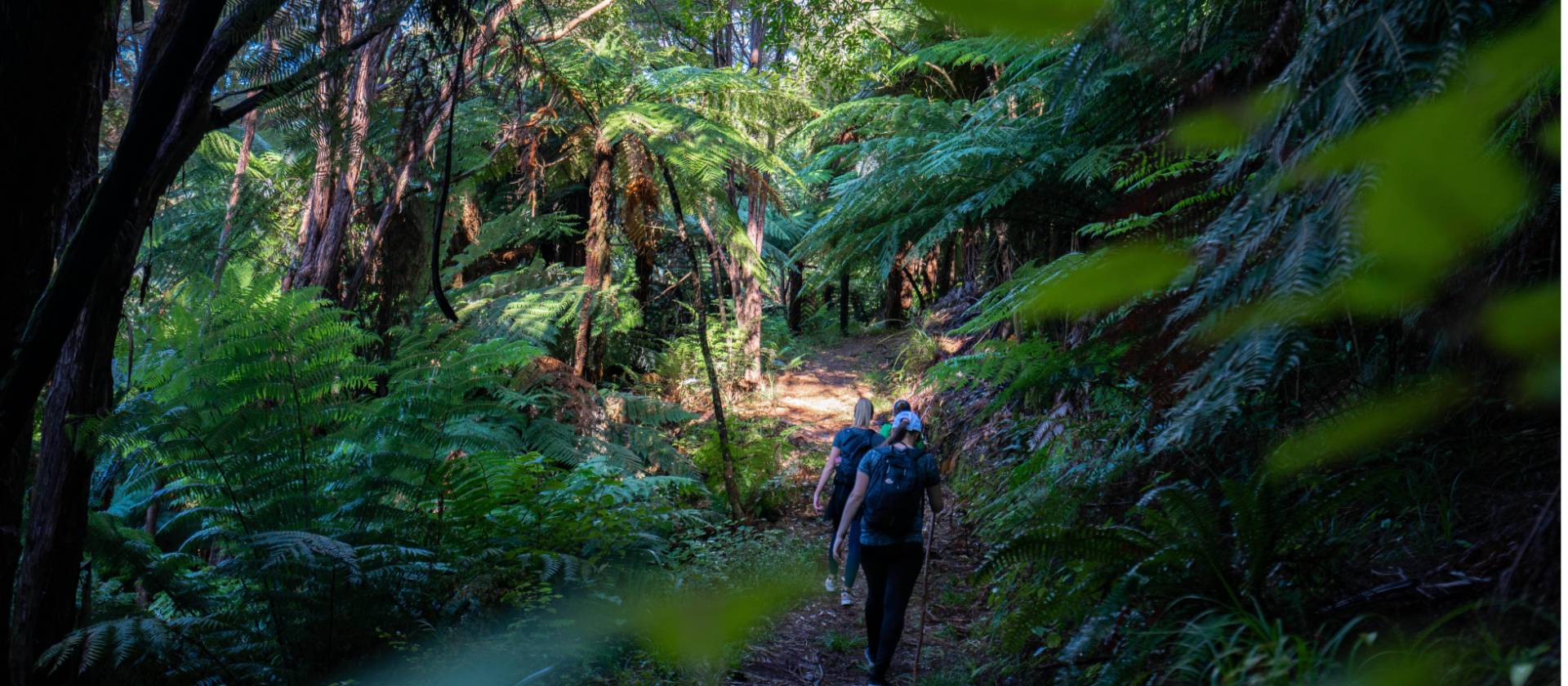
This is temperate rain forest. It can be wet. It can be muddy.

Riparian.

But hiking is accessible year-round. In fact, this video was taken early December.

Click PLAY or watch it on YouTube.

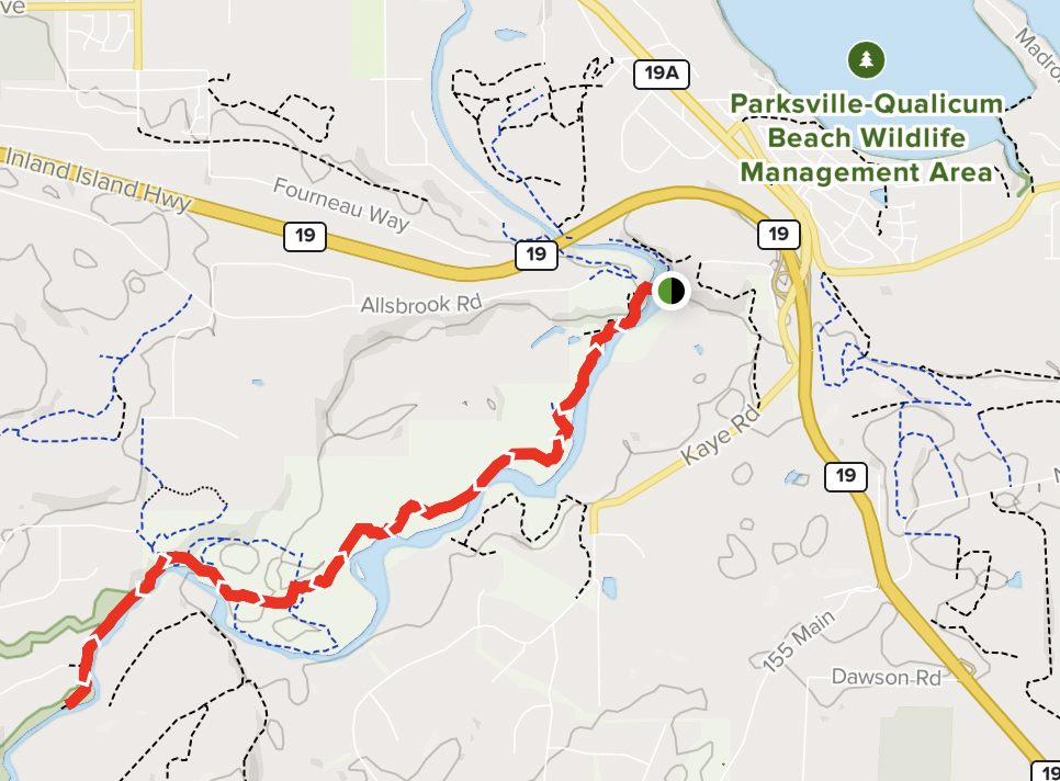
Most people park at the Top Bridge trailhead (green dot) close to highway 19 at Parksville. Head inland along the river for as far as they wish. Then backtrack.

I started on the far left of the map below at Middlegate Road trailhead. Walked to Top Bridge Park close to the highway. About 5km one way plus many side trips.
I often, as well, head the other direction, under the highway towards Parksville on the 5km Top Bridge Regional Trail.
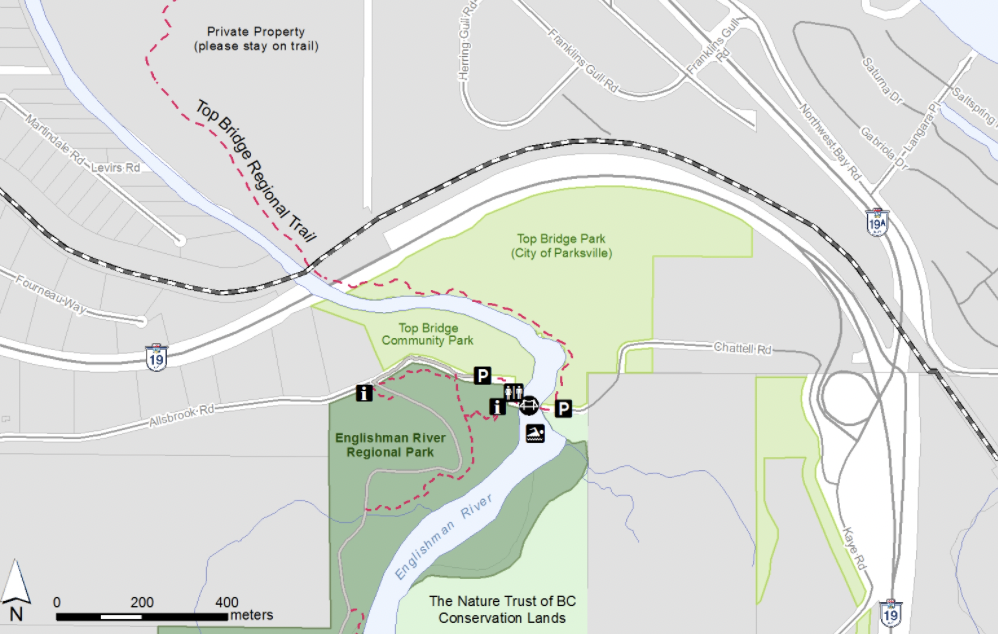
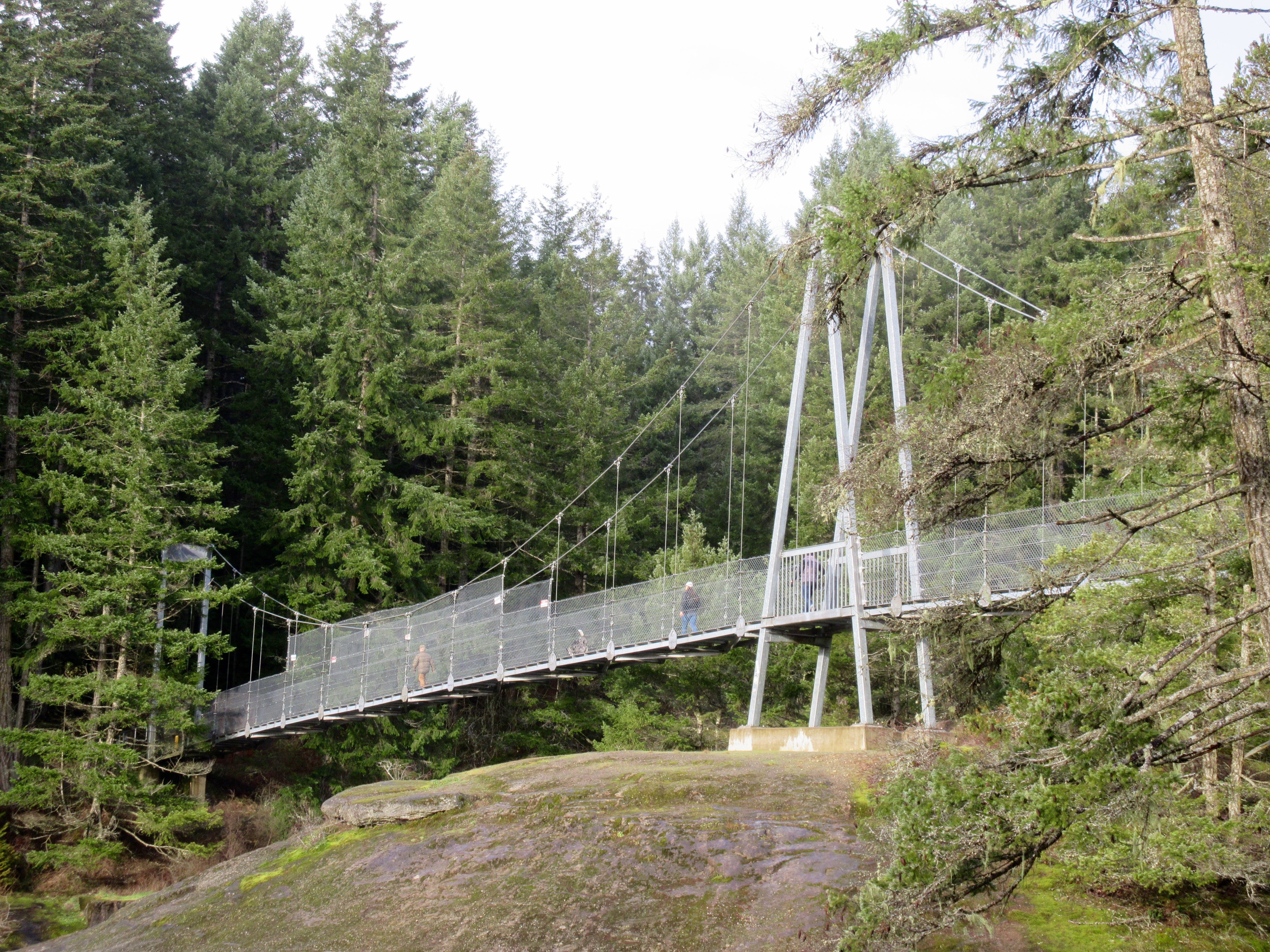
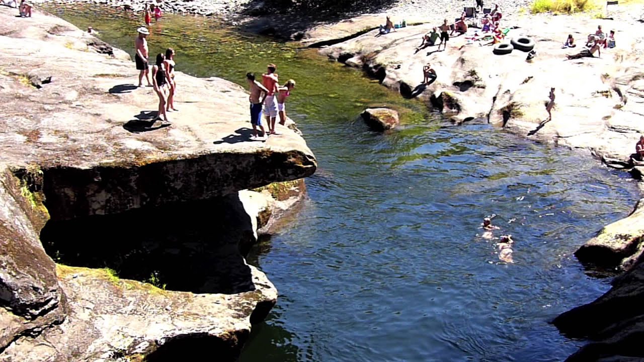
In good weather, the bridge near the parking areas is a popular swimming spot.
Summer

Juan de Fuca Trail, Vancouver Island

Our #1 hike in the world — West Coast Trail — was closed all of 2020 due to COVID. Hopefully it will reopen in 2021.

Right next door is the Juan de Fuca Marine Trail.

It’s one of the great alternatives to the WCT. Logistics are much easier. And it’s less expensive.

Vancouver Island experts MB Guiding have a Juan de Fuca Marine Trail Guide online.

Check that for planning. And get a copy of the best hiking guidebook – Coastal Hikes.

The Most Dangerous Path In Britain

Tom Scott:

The Broomway is surrounded on both sides by quicksand and deep, sucking mud. It has no markers and no guideposts.

And if you mistime your walk, you won’t outrun the tide.

Oh, and it’s in the middle of a Ministry of Defence firing range.

But most of the time, if you want to visit Foulness Island, it’s the only way.

Click PLAY or watch it on YouTube.

Enos Lake, Vancouver Island in Winter

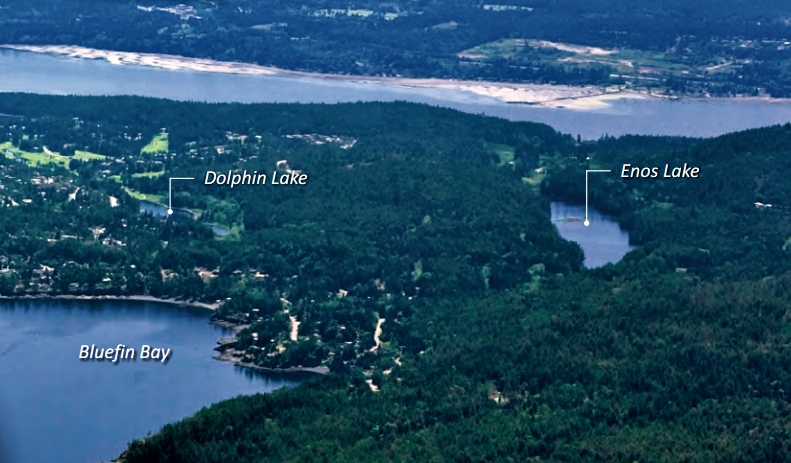
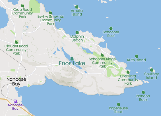
A confusing network of wetland trails is owned by the Fairwinds Community of Nanoose Bay near Nanaimo.

Happily, they are open to the general public. No fishing. No swimming.

Easiest way to get there is from Island Highway 19, turning at the Petro Canada gas station east onto Northwest Bay Road.

I went early December.

Click PLAY or watch my trail run on YouTube.

Click PLAY or watch some drone footage on YouTube.

Details – Vancouver Island View – Enos Lake Trail

Little Qualicum Falls, Vancouver Island

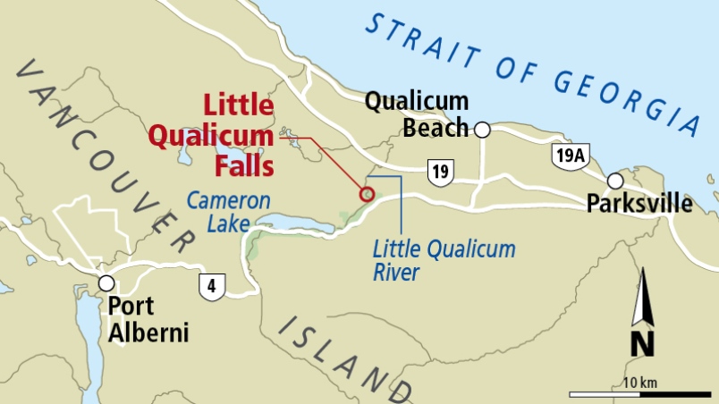
Little Qualicum Falls Provincial Park, established 1940 to protect the old growth forest, offers a terrific 1 hour hike if you are driving between Nanaimo and Port Alberni.

There are plenty of other nearby attractions including Cathedral Grove.

Swimming is possible in good weather. But know that people have drowned here.

Outdoor Vancouver – Little Qualicum Falls Loop

Click PLAY or watch it on YouTube.

Englishman’s River Falls B.C.

BestHike editor Rick McCharles. 

Many, many times I’ve walked the spectacular 2km loop at Englishman River Falls Provincial Park near Parksville B.C.

Often I cycle there from Parksville. Then walk or run the loop a number of times.

Click PLAY or watch a November run on YouTube.

B.C. Parks website.  The campsite has over 100 spaces.

Read more – Bikepacking.com – Miles Arbour – ENGLISHMAN RIVER OVERNIGHTER

Click PLAY or watch a summer run on YouTube.

Nydia Track, New Zealand

Nydia Track, Marlborough: The best walk you’ve never heard of

I thought I’d heard of ALL major New Zealand tramps. I lived there for a year.

The 27 km Nydia Track in the Sounds area of Marlborough is an easy 2 day tramp. Plan on an overnight stop at Nydia Bay.

Department of Conservation

World Expeditions offers a guided tour.

Click PLAY or watch it on YouTube.