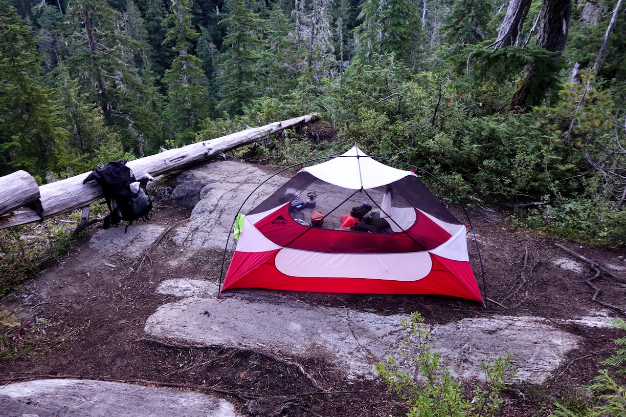
The NU 25’s main limitations are its short battery life (in our testing, the NU’s burn time was much shorter than listed) and the fact that it’s hard to keep the light from shining in your camping partner’s eyes due to its wide beam pattern.
1. Why choose trail running shoes over boots for three-season conditions?
2. When are boots preferable to trail runners?
3. “Wearing Your Fears” – Examining the commonly-held belief that boots provide a greater degree of protection for your ankles than low-cut footwear while backpacking.
4. “A Piece in the Puzzle“ – Why your choice in footwear should be considered an integral piece of an overall lightweight backpacking strategy.
5. A list of 15 of the top trail running shoes in today’s market.
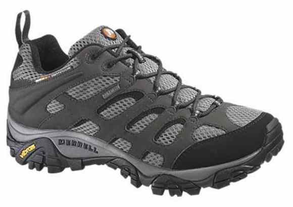
I’ve tried most everything over the years, ending up with something in-between runners and boots – approach shoes — most often Merrell Moab2 Ventilators. Normally without a Gortex layer.
I go with Merrell as they are available online in very wide sizes. I have bunions.
I go with trail shoes as I like the durability.
Cam finds he can get about 800 mi (1,287 km) out of a good approach shoe; as opposed to trail runners which normally need to be retired after 500 mi (805 km).
I’m loath to suffer stubbed toes so prefer footwear with good protection up front.
Like Cam, I wear low-cutfootwear as my ankles are healthy and I’m agile enough not to bash into rocks.
For something VERY rugged — K2 Base Camp, for example — I would take high tops or boots.
The downside of approach shoes is weight. And the smell.
After a hike where my shoes get wet I need bake them in the sun. For days.
Trump and the Republican Party have been ruthless for 4-years selling out public land to rich supporters and corporations. The Environmental Protection Agency has weakened regulations.
For example, a Judge removed Trump public lands chief —a former oil industry attorney — who’d been working in that position illegally.
Patagonia has just released The Fight for America’s Public Lands.
A feature-length documentary about America’s system of public lands and the fight to protect them.
Despite support from voters across the political spectrum, our public lands face unprecedented threats from extractive industries and the politicians in their pockets.
Part love letter, part political exposé, Public Trust investigates how we arrived at this precarious moment through three heated conflicts—a national monument in the Utah desert, a mine in the Boundary Waters and oil drilling in the Arctic National Wildlife Refuge—and makes a case for their continued protection.