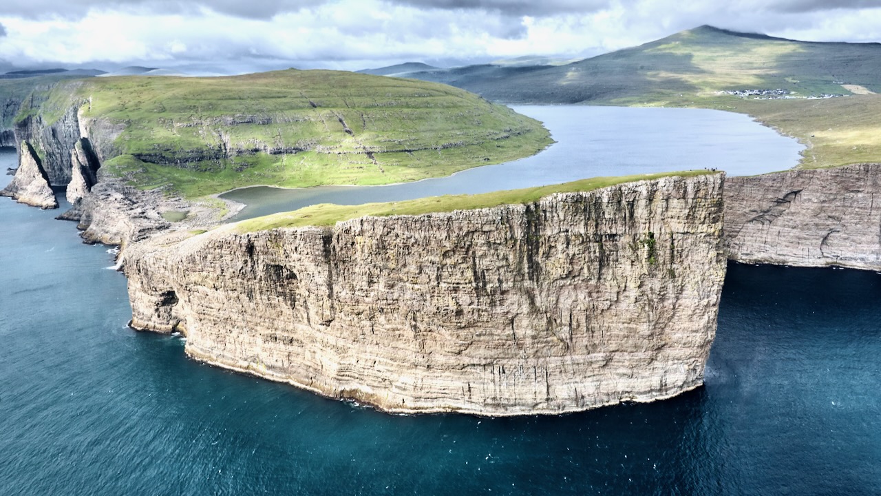
… surface is about 40 m (130 ft) above the level of the sea.
It is surrounded by a higher cliff which prevents it from emptying fully into the ocean, the waterfall Bøsdalafossur being the outlet.
The greater height of the cliffs on either side of Bøsdalafossur can give the illusion from certain perspectives that the lake is higher above sea level than it is.
The waterfall vista is great. But personally I liked even better walking the Trælanípan cliff — aka the ‘Slave Cliff’. Supposedly where slaves were pushed to their deaths.
There are many, many birds nesting on those vertical sides.
width 25 metres (82 feet) and drop of 60 m (200 ft).
The Skógafoss Waterfall hike (also called the Skógá Trail or Waterfall Way) is one of Iceland’s most spectacular easy walks. Perhaps 25 waterfalls and spectacular canyons.
This trail starts at massive Skógafoss and follows the Skógá River upstream for 8 km (5 miles). If you reach the bridge, I’d say you’ve gone too far. 😀
In fact, hike as far as you want. Turn back when you like.
Elevation Gain:500 meters
I waited about 5 days for a good weather window — and it was worth it. I even had some sunshine.
I hiked the waterfalls up and down twice over 3 days. Going early morning and late evening to minimize the number of other hikers on the trail.
The trailhead is at Skógar on the Ring Road (highway 1). There is a campground and hotels. Book well in advance.
Skógafoss is also the start / finish of the challenging Fimmvörðuháls trail which ends at Thórsmörk. In good weather you can do the entire 22 kilometres (14 mi), 1,000 metres (3,300 ft) of climbing in a long day. It crosses a glacier between two recently active volcanoes — which you can also climb.
Of course Thórsmörk is the start / finish of the most famous hike in Iceland, the Laugavegur. If you have 4-6 days, the BEST hike is Landmannalaugar to Skógar. It includes the The Skógafoss Waterfall Way, connecting Fimmvörðuháls and Laugavegur.
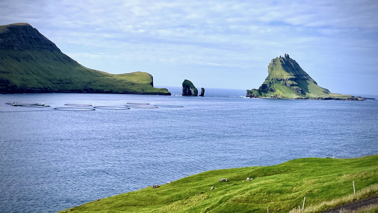
Before 2004, people needed to hike over a mountain shoulder to get there — but after the Gásadalstunnilin tunnel (1.4 km) was blasted — it’s became possible to drive, cycle, or arrive by public bus.
I cycled. And it was a bit scary in that long tunnel.
In 1979, Plitvice Lakes National Park was inscribed on the UNESCO World Heritage list, for its outstanding and picturesque series of tufa lakes, caves, and connected waterfalls. …
Sixteen lakes can be seen … all interconnected.
They are separated by natural dams of travertine, which is deposited by the action of moss, algae, and bacteria.
The lakes are renowned for their distinctive colors, ranging from azure to green, grey or blue. The colors change constantly depending on the quantity of minerals or organisms in the water and the angle of sunlight.
I decided — like most tourists — to sign up for a Plitvice Lakes National Park Day Tour.
U.S. $49.56 for travel and the guide. Plus $44.50 for Park entrance.
You can make the trip on your own, but logistics are simpler with a tour. Once in the Park, you can go wherever you like.
It’s crowded most days. Look for gaps in the mob.
Comparable phenomena to those prevailing at the Plitvice Lakes exist at Rastoke (Slunj), at the Krka National Park, at the rivers Una and the Pliva in Bosnia and Herzegovina and at the Krushuna Falls in Bulgaria. The Band-e Amir lakes within the Hindu Kush mountain range form a similar system of lakes and dams …
Calc-sinter formation processes that have not emerged along a river flow can be observed at the Mammoth Hot Springs within Yellowstone National Park (USA) or at Pamukkale in Turkey. Jiuzhaigou is a nature reserve and national park located in the north of Sichuan, China.