When the construction of Kárahnjúkar Hydro Dam was finished 2009, Stuðlagil (Studlagil) Canyon became fully visible.
The water level in the river Jökla, that runs through the canyon, dropped and amazing basalt columns have since become one of the most popular tourist attractions in eastern Iceland.
The landowners were still building tourist infrastructure in 2024.
I stayed at the simple campground on the northern side of the river.
A German couple — world travellers — in a camper van, offered me lamb dinner with locally picked mushrooms. And wine! It was my best meal in Iceland. 😀
Once the tourists were gone in the evening, I climbed down a long set of stairs to have the northern viewing platform all to myself.
Next morning, I cycled over to the southern side of the river. It’s the better experience. Go to both sides, if you can.
It is known for its unusual amount of large columnar basalt rock formations and the turquoise coloured river that runs through it.
The canyon also has an interesting story as it became an unexpected tourist sensation in 2016 after Einar Páll Svavarsson published an article in August of that year on hiticeland.com with spectacular photos.
A year later Einar also wrote an article about Stuðlagil in WOW air magazine in June 2017 and after that the canyon became a popular tourist destination.
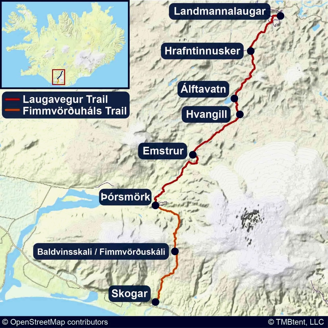
It’s an easy detour off the Highway 1 Ring Road. About a 19km/11.8mi sidetrip along road 923. Mostly paved in 2024.
Adjacent to the volcano is a 6-by-8.5-kilometre (3.7 by 5.3 mi) caldera, which is filled partially by the crater lake known as Segara Anak or Anak Laut (Child of the Sea), due to the color of its water.
I’m very keen to climb it myself, perhaps with India Hikes.
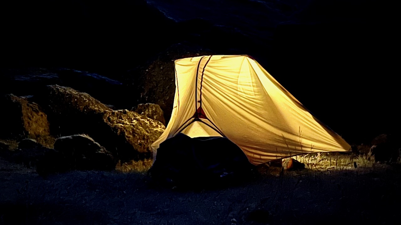
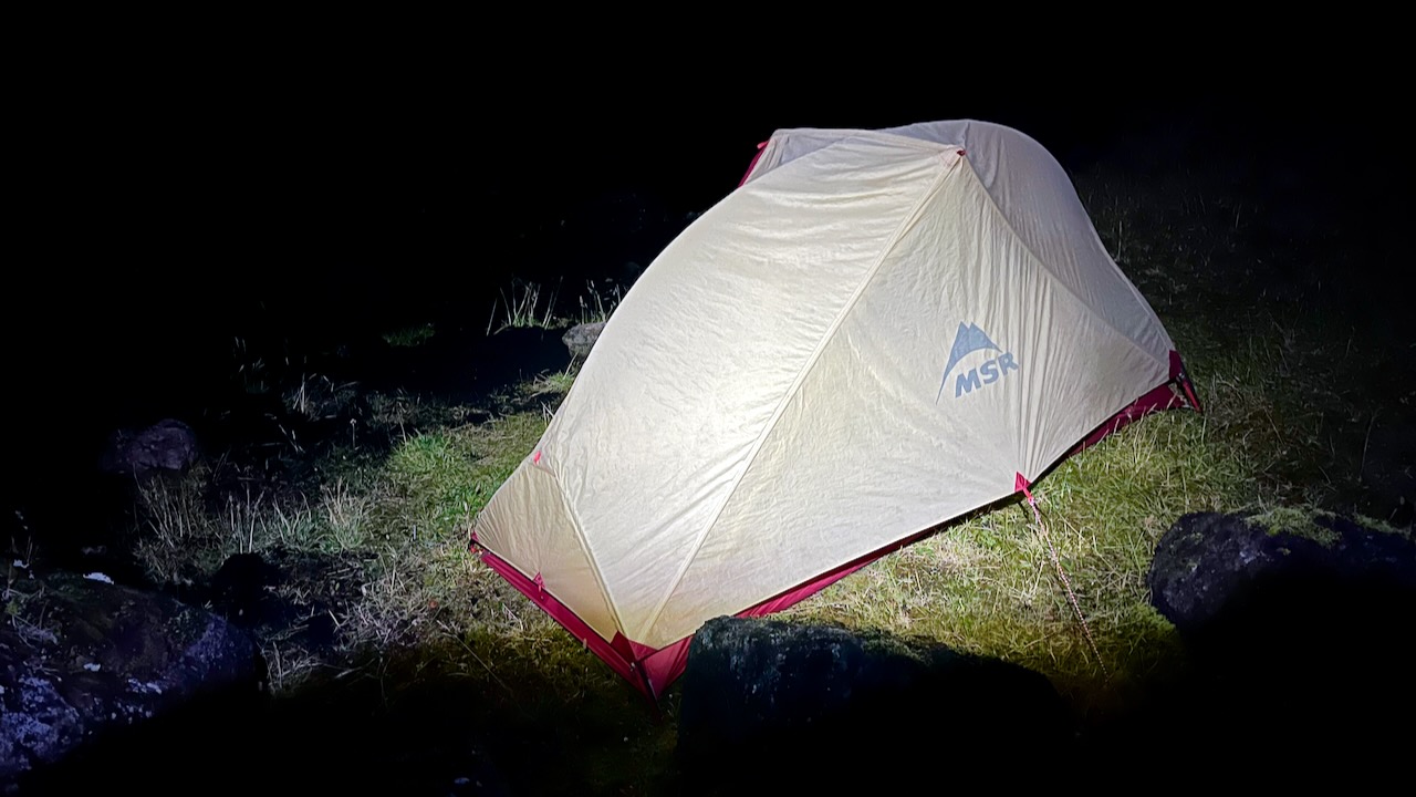
Shortly after packing up the tent Sept. 16th, the rain began. 💧
I put away the camera and took not one photo nor video for the entire day.
It was head down. One foot after the other for about 34 tough kms.
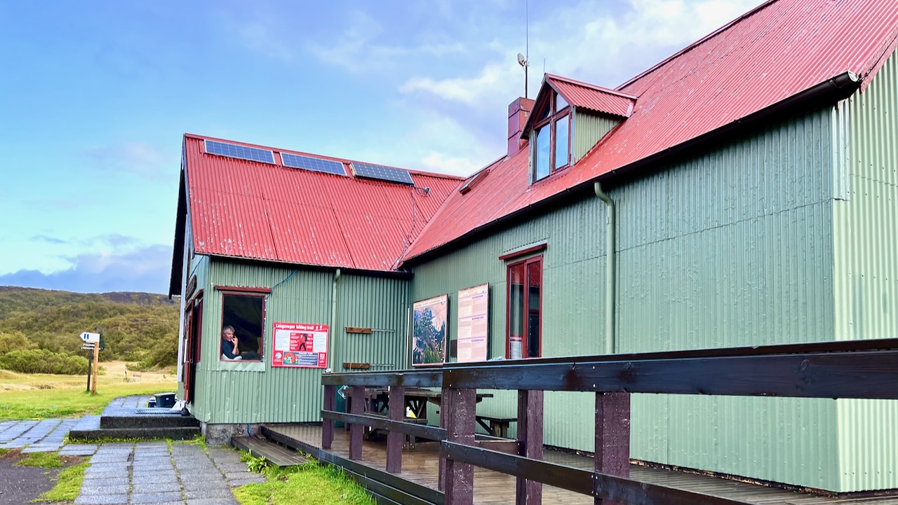
I was only able to get shelter from constant rain and high winds for late lunch at Emstrur / Botnar. It was still open as the American guided group was there that night — and provided a cook tent.
Hiking Laugevagur leaves you almost entirely unprotected from the elements. There is no place to hide.
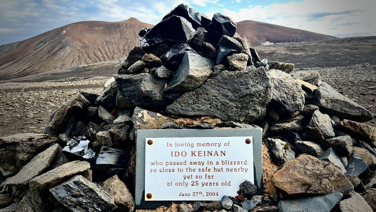
I’d seen the monument to Ido Keinan who died, lost 1 kilometre away from the hut in Hrafntinnusker. Exposure during a late June storm.
I used the free Maps.me app offline to confirm I was on the trail. This works in the dark or the middle of dense cloud.
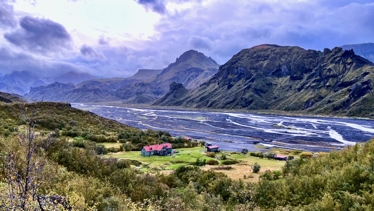
… After about 11 hours with very few breaks, I made it to Langidalur hut in Þórsmörk.
In fact, I HAD to keep walking all day to stay warm!
I marched past, trying to cross the river to Basar campsite, closest to the start of next day’s Fimmvörðuháls hike. I’d heard the hut had been closed most of the summer, but that the campground was open.
The wardens were having dinner. Called me over. And explained that they’d taken out the bridges due to the continuous rain. The river was impassable.
I had a choice to be a wet rat in a wet tent for the night. Or check in to the hut at a cost of about $90.
Another fun guided group convinced me to join them inside. Gave me $5 hot shower tokens. And offered me dinner and wine. It was perhaps the best $90 I ever spent.
Sept. 17, 2023
I was still hopeful the rain would break and I’d somehow be able to cross the river. And continue to the coast.
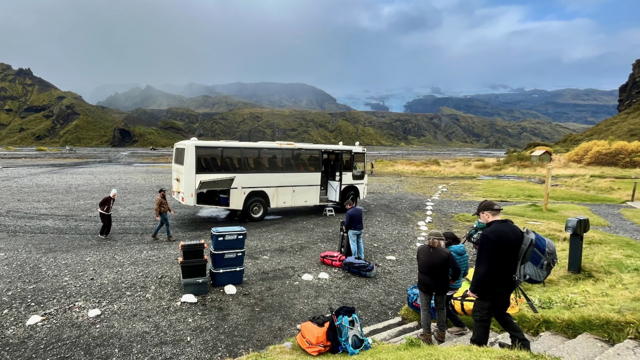
BUT the wardens and tour group offered me a chance to get a lift with them back to Reykjavik. I couldn’t say no.
Morning did arrive with better weather.
We did some day hiking.
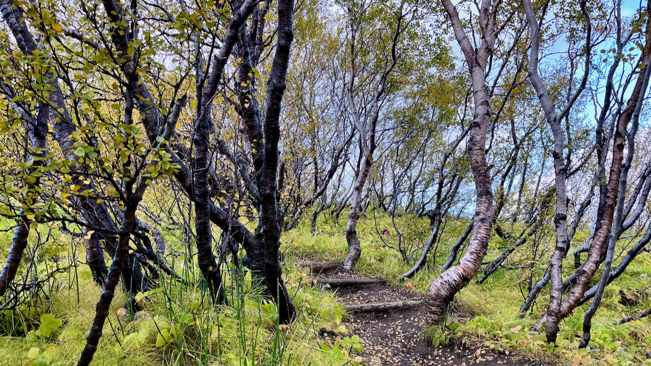
Þórsmörk (Thorsmork – the Valley of Thor) is an area where trees are protected. And there are some surprisingly large trees.
Our bus did get stuck crossing the river for rendezvous. But the wardens have a tractor for flattening the river bed and even towing the bus, if needed.
The driver did not look worried. This is situation normal for him.
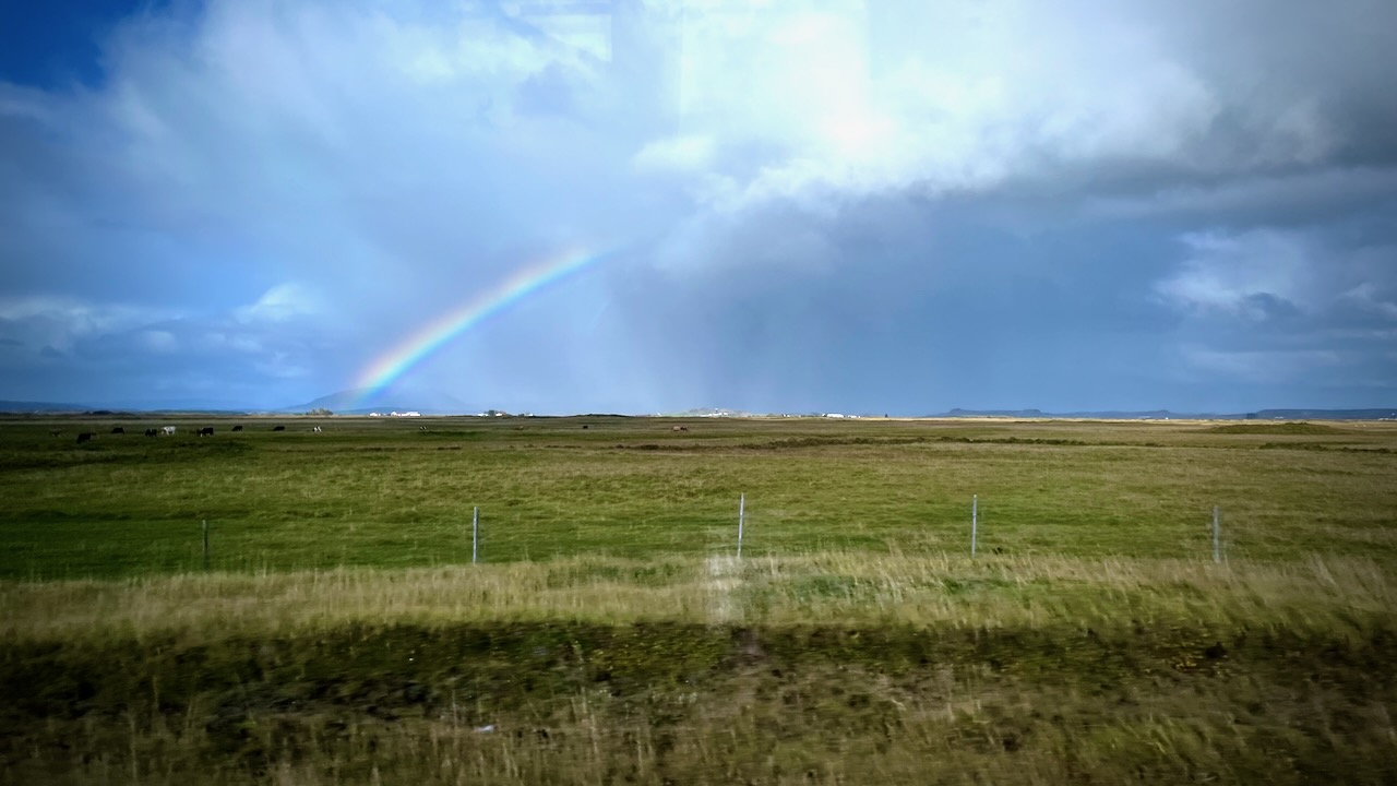
I enjoyed the ride back to Reykjavik with the tour group. Weather mixed, but improving.
Overall I was thrilled with the hike. Happy to have done the YOYO. Happy to have had only one day of bad weather in September.
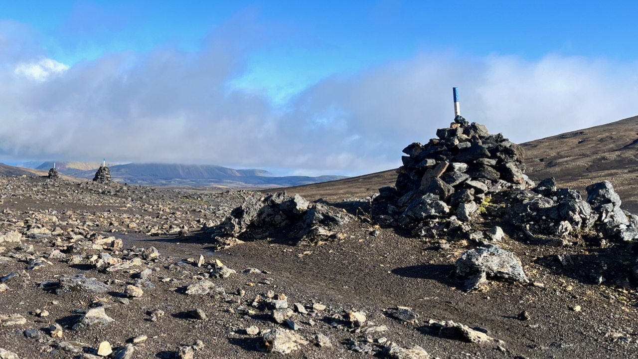
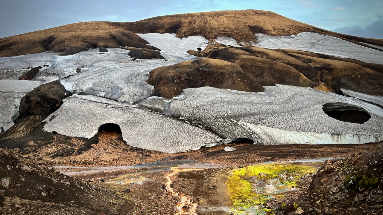
It’s in this high section in a snow storm where people might most easily lose the trail. Therefore it’s better marked with cairns and posts than anywhere else on the trail.
I had lunch at Hrafntinnusker. Met a fun American guided group who I would bump into several more times over the next 2 days.
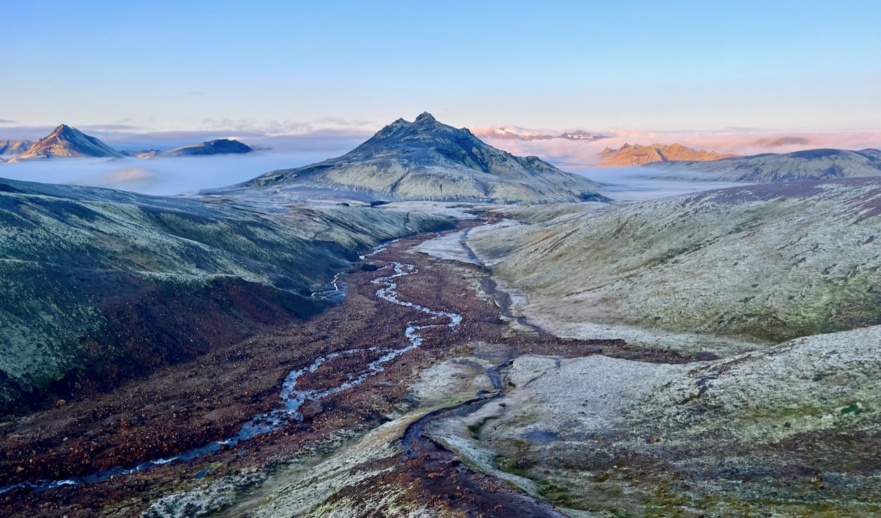
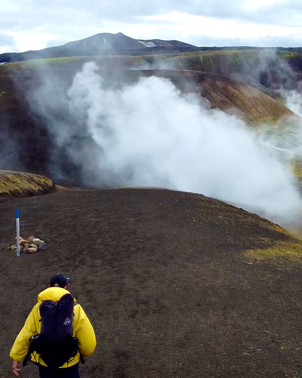
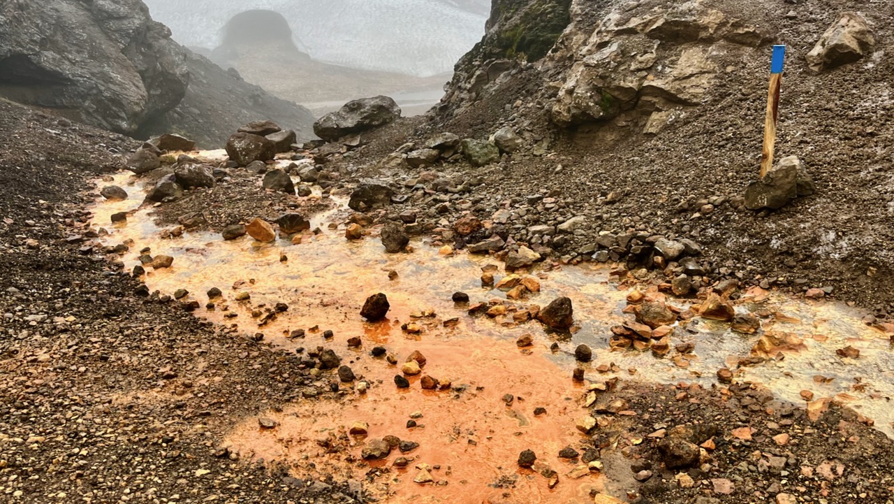
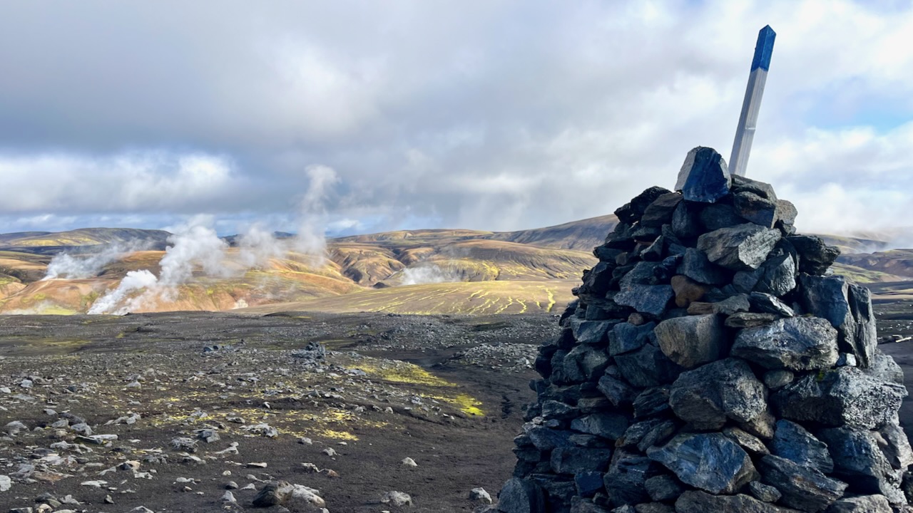
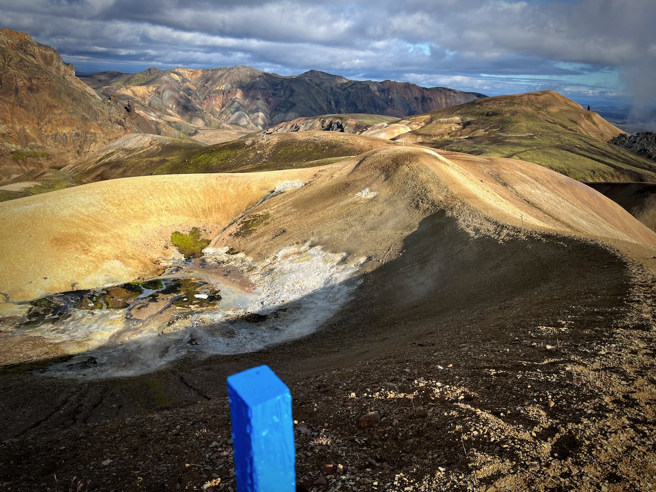
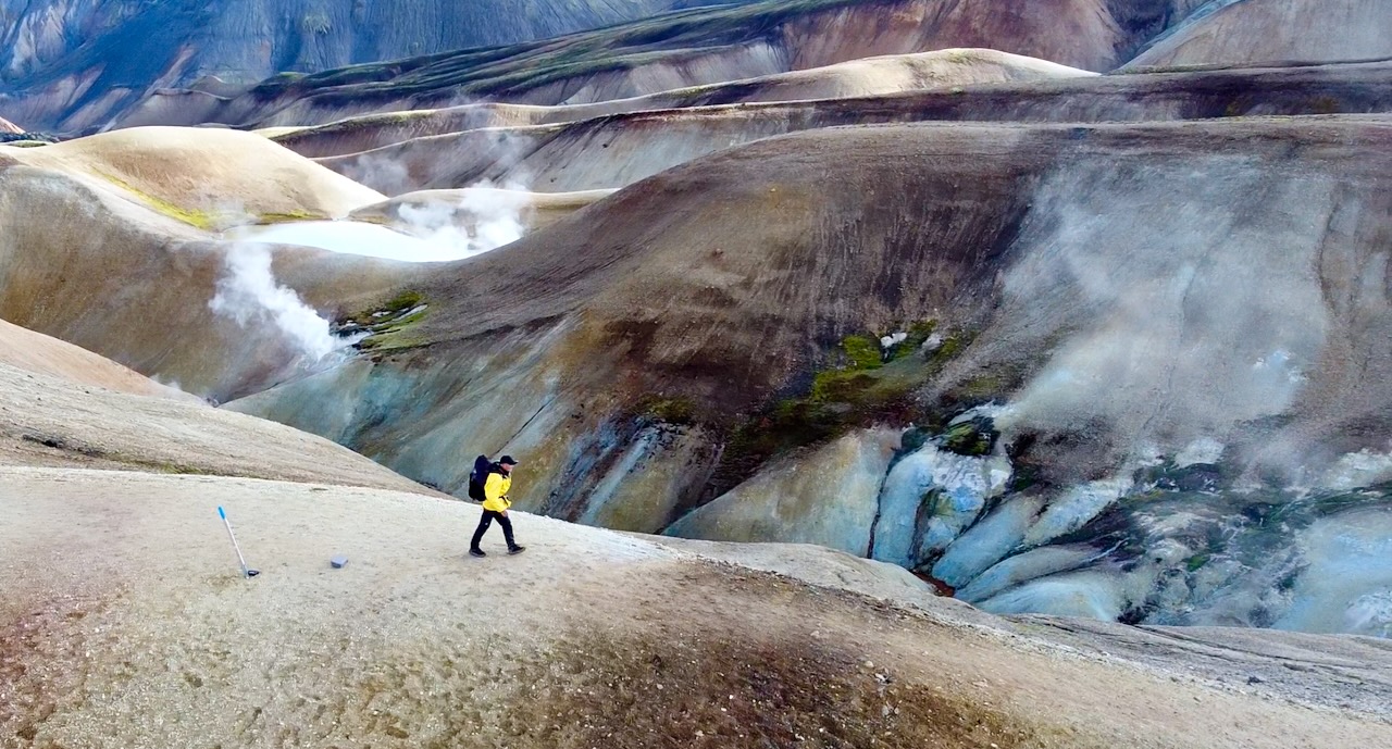
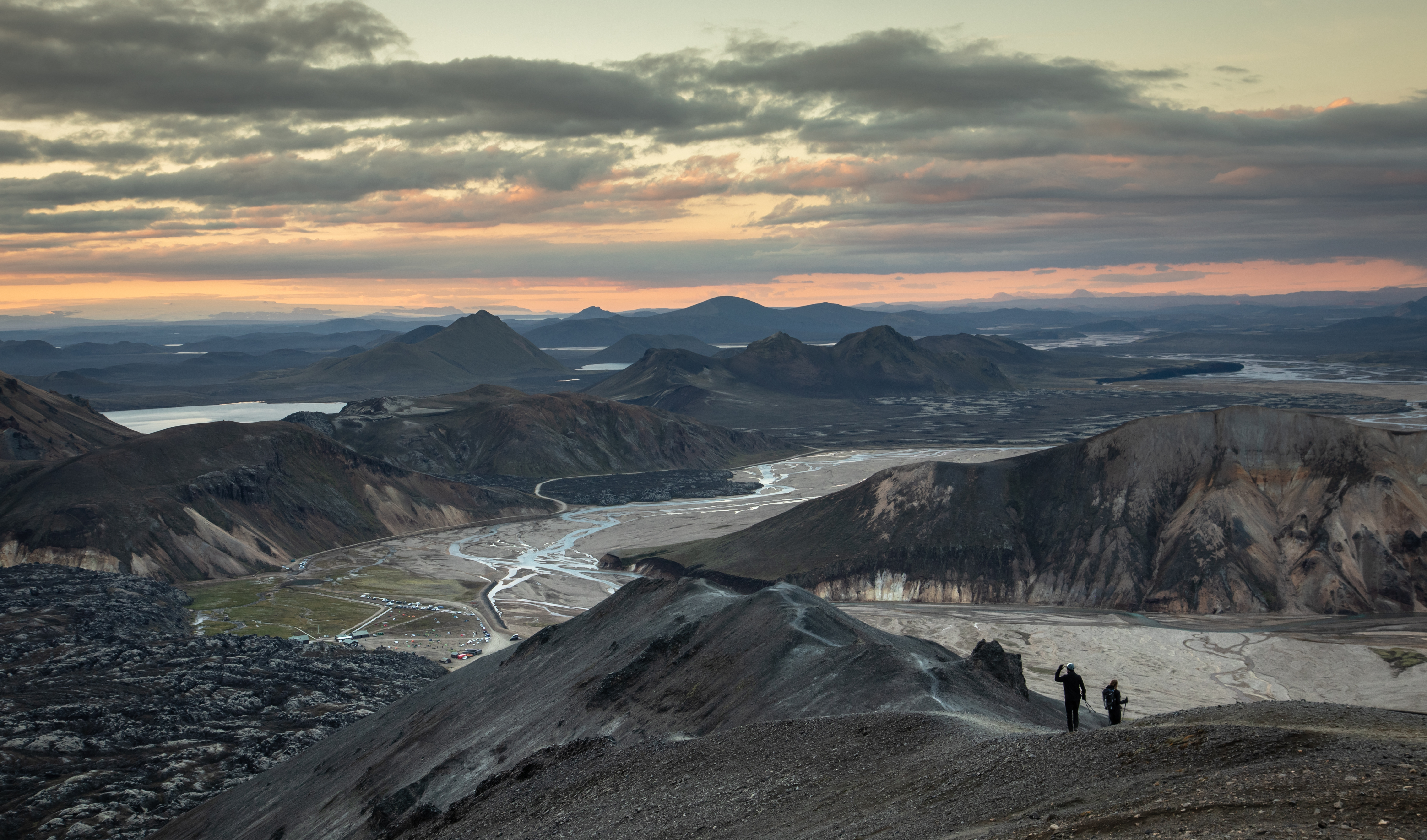
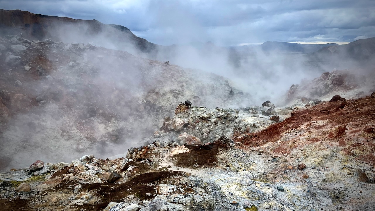
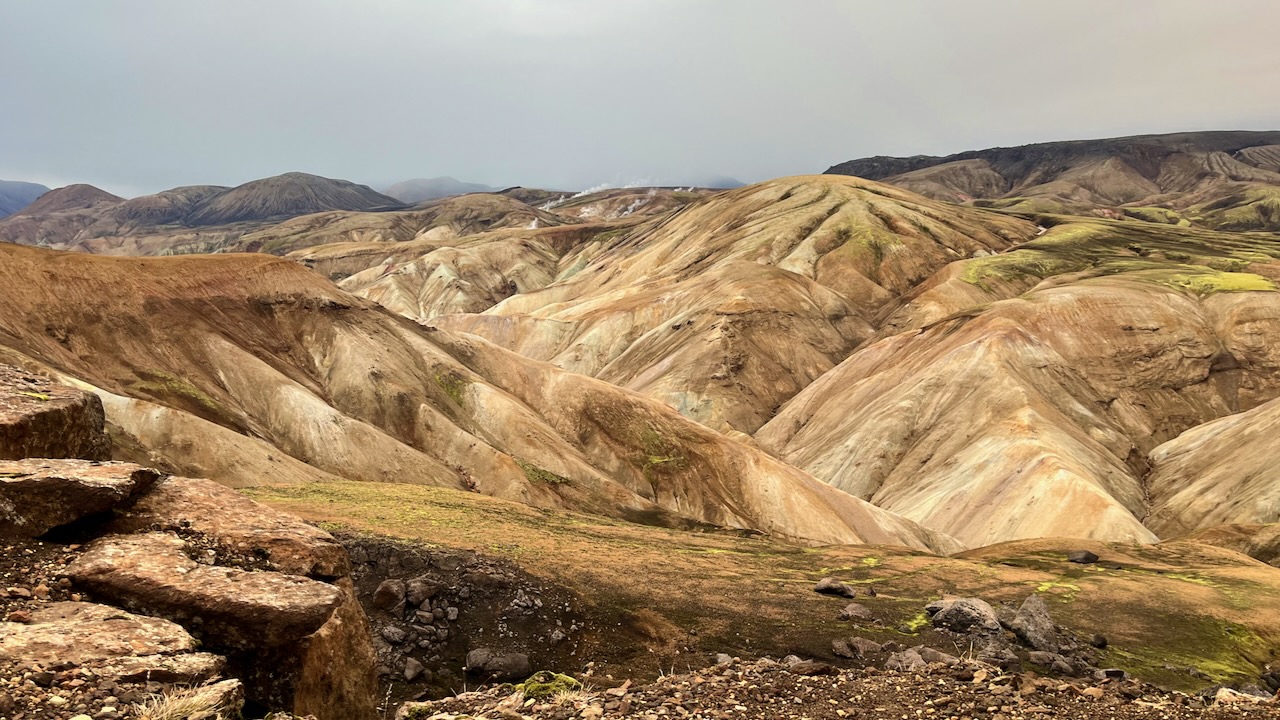
As you approach the end, there’s more and more volcanic activity.
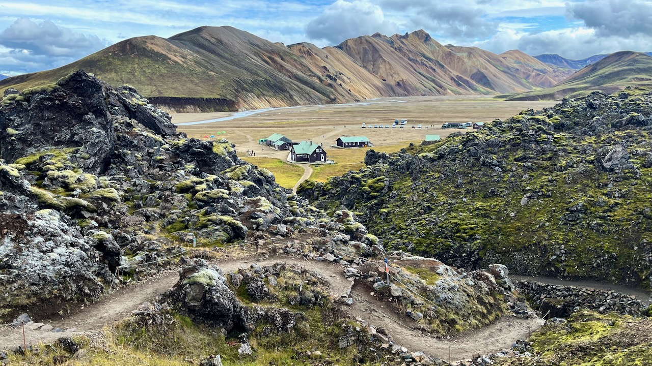
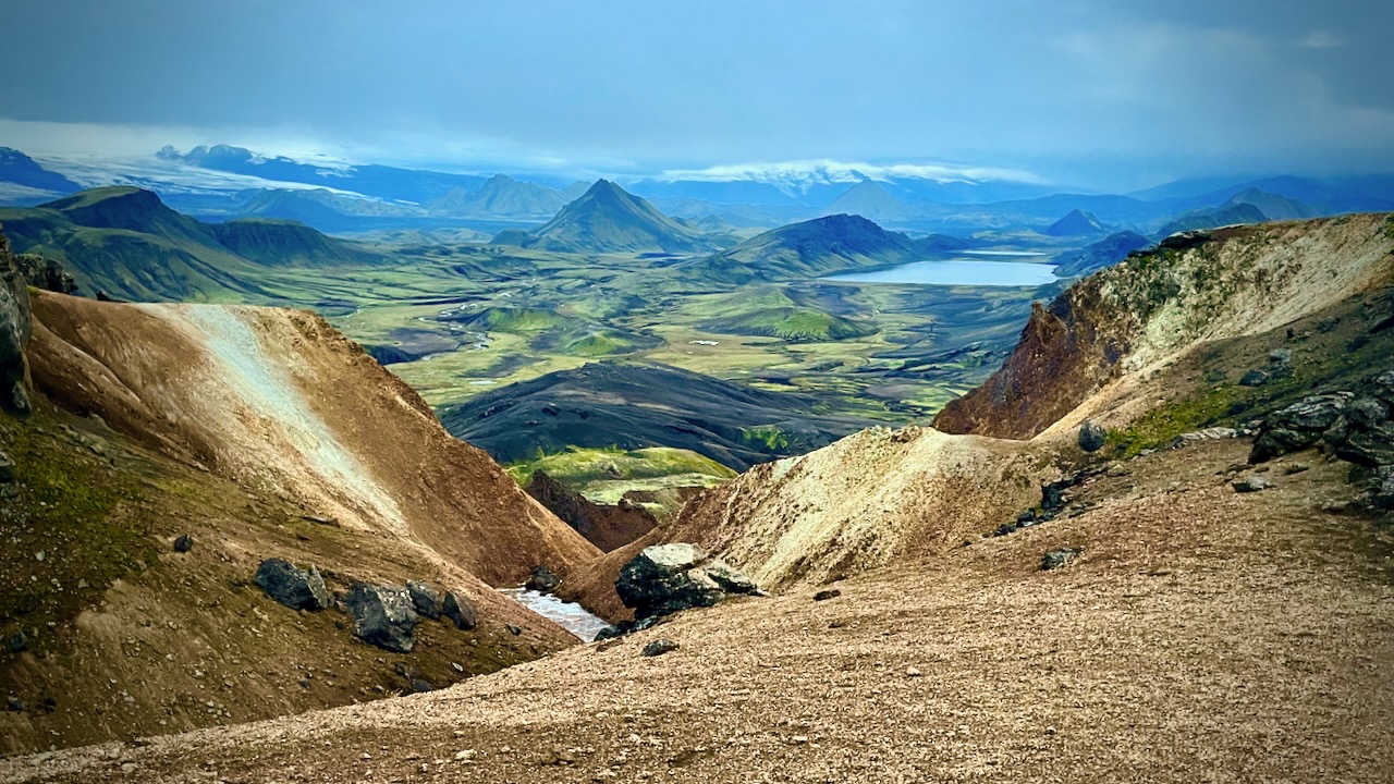
Landmannalaugar came into sight. My half way point for the day.
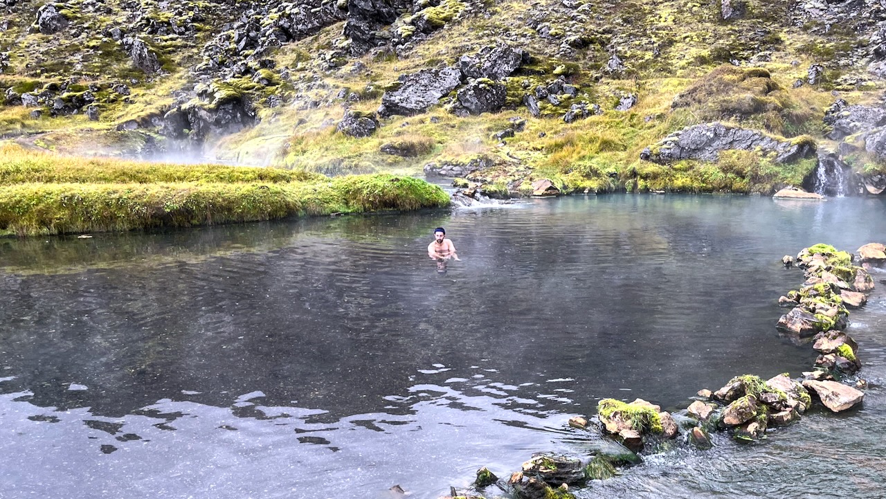
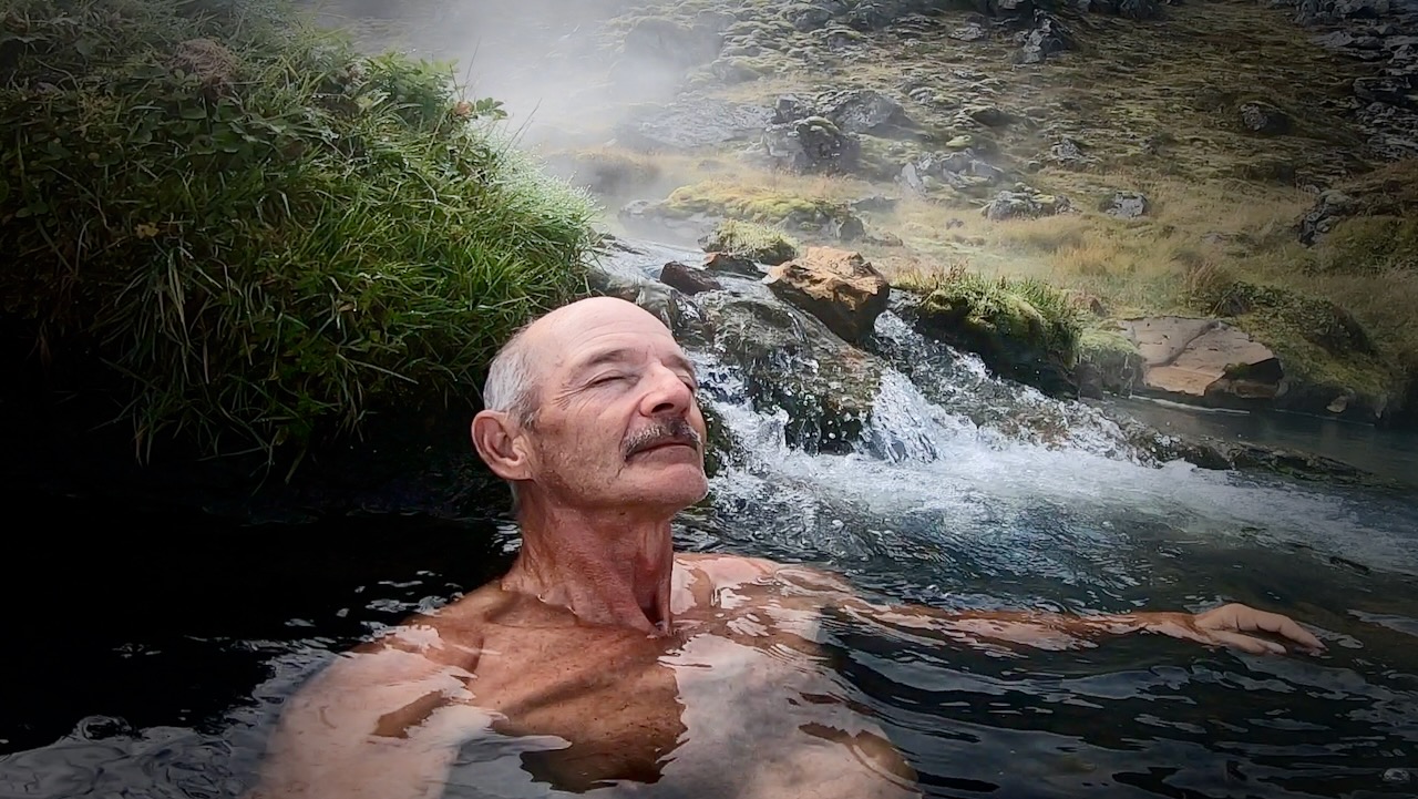
In August, the hot springs at Landmannalaugar are typically crowded.
But in mid-September there were only a few people enjoying a huge pool.
It’s hot. You can easily get scalded so positioning yourself carefully is critical. This was my best spot.
I had lunch. Then started back the way I had come. STILL confident I could get to my tent before dark. 😀
The return trip was equally good. But different in that you are facing the opposite direction with much different light.
Happily, no rain the rest of the day.
There’s the lake. One more descent and I’ll make it.
Unfortunately, It WAS dark before I got home. Days are already getting short in Iceland in September.
Even with a good headlamp it was easy to lose the trail. I had to rely on the GPS via Maps.me in order not to get lost.