I finally saw the film myself.
Fantastic.
There’s a terrific, funny review of the film on Amazon posted by Archimedes Tritium:
… The narrator (mountain guide Jacob Kyungai) intones that climbers of Kilimanjaro are “ordinary people people, mostly”, then goes on to introduce a Gilligan’s Island cast of climbers, picked to reflect (or engage) the folk who might go to the science museum IMAX theater on a Saturday afternoon — as compared to those who actually climb Kili.
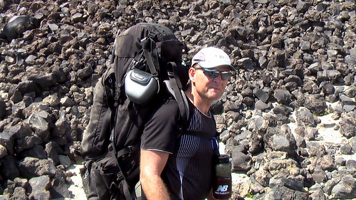
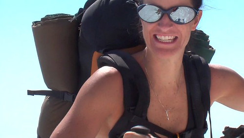
You have The Professor (Roger Bilham, an expert volcanologist), Ginger/Mary-Ann (Heidi Albertsen, identified on the DVD only as “Trekker: Denmark”, but in reality a New York super-model you have probably seen more often on the cover of women’s magazines at your grocery store check-out line), a couple of precocious 12-going-on-25 year old kids (self-possessed and well-behaved, every Yuppie parent’s dream-child), a writer (Audrey Salkeld), and Rick Thomson, who barely made it out of the editing room, but is the father of the 12 year old girl (and was in a bad car accident shortly before the climb and had a pin in his hip, etc.)
Basically, the film shows a sort of idealized climb. This is not a movie about man against nature, or pushing the limits of human endurance. It’s about a beautiful, diverse mountain and some “ordinary” (*cough*) people who went to the top.
Bottom line: if you are going to experience a Kilimanjaro climb, it’s hard to beat tagging along with an expert volcanologist and a super-model.
The DVD contains a “Making of” feature that is of even more interest to prospective climbers than the main film. Behind-the-scenes shots of the logistics and events provides context to the apparent effortless serenity of the main feature.
The problem with the film is this: having climbed Kilimanjaro (via Lemosho – Shira -Western Breach route), the depiction of the Western Breach is disturbingly glossy. This problem is not unique to this film; it exists in the Nova documentary and virtually all text and sales-pitches advocating the Western Breach. Basically, the pitch is that the Western Breach route is “non-technical” and suitable for anyone in good physical condition who is capable of hiking for 6-8 hours a day.
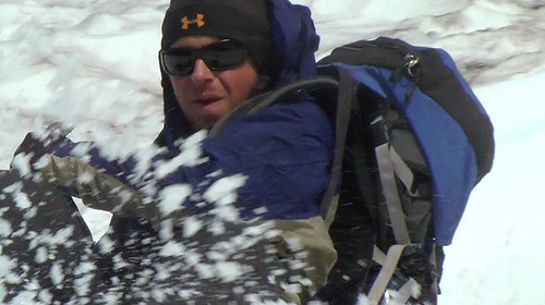
The reality is there are at least 4 spots where you will find yourself clinging to an ice-covered rock, searching for slight finger & toe-hold indentations as you skitter 20-30 feet sideways. Miss a finger or toe, have a balance problem, or slip more than one hold, and you will fall 1000 feet to the rocks below. And aside from those 4 sections, a misstep or slip on any of the rest of the breach also means falling hundreds of feet. And keep in mind you are likely wearing a 20+ pound pack with several pounds of water. Basically, anything is “non-technical” if you don’t use safety equipment.
The Western Breach is precarious and dangerous. In the film, they show the cast clambering over refrigerator-sized, step-like blocks of stone. This amounts to at most 15% of the climb. The rest is not really shown, probably because it is too precarious to get footage of. A parent allowing a 13-year old on this route is inconceivable to me, unless ropes and support equipment were used to assist.
While clinging to ice-covered rocks and seeing nothing but air beneath my feet, my initial reaction was anger at the public-relations puff-job in this movie and other sources. This was quickly subsumed by the desire to simply stay alive, repeated a couple dozen times that day.
While this movie might lead people in good shape, used to jogging around the park or hiking the local hills, into thinking it’s no big deal to climb Kilimanjaro via WB (“hey, a couple 13 year olds did it”), the reality is inexplicably different than the PR. You have been warned.
By the way, if you read the companion book to this film, there is a note at the end that mentions that a few months after filming, the cast and crew was reassembled and climbed Kilimanjaro AGAIN (a 2nd time) to obtain more shots. …
Needs some straight-talk on Western Breach

A 27-year-old Oregon climber who survived five days on southern Washington’s Mount Adams with a broken ankle told rescuers he ate centipedes and drank water from creeks as he tried to crawl to safety. …