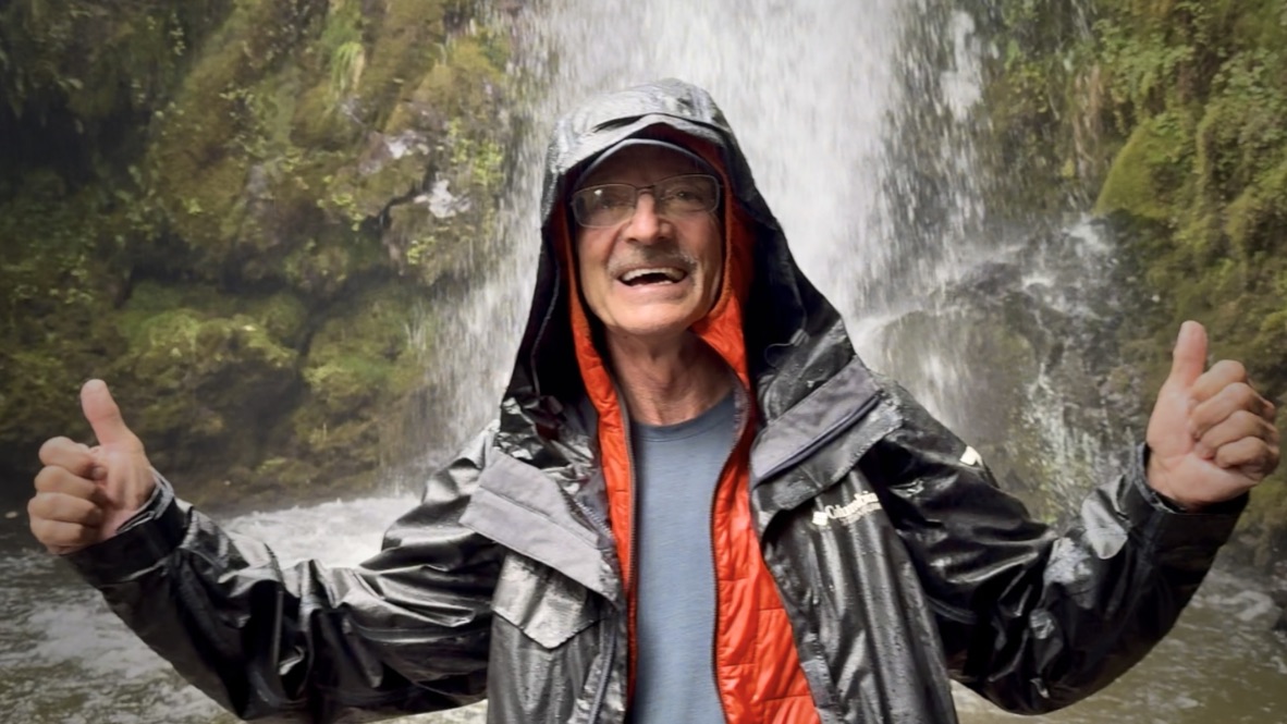
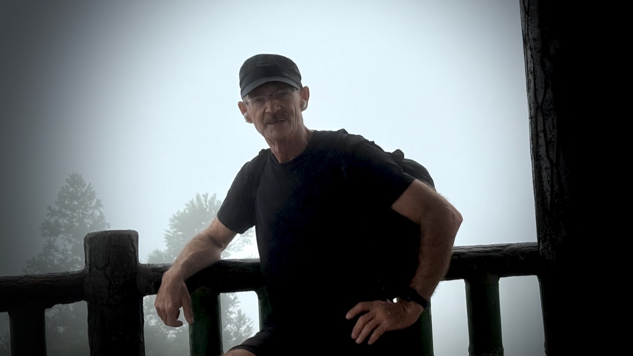
Trip report by BestHike editor Rick McCharles.
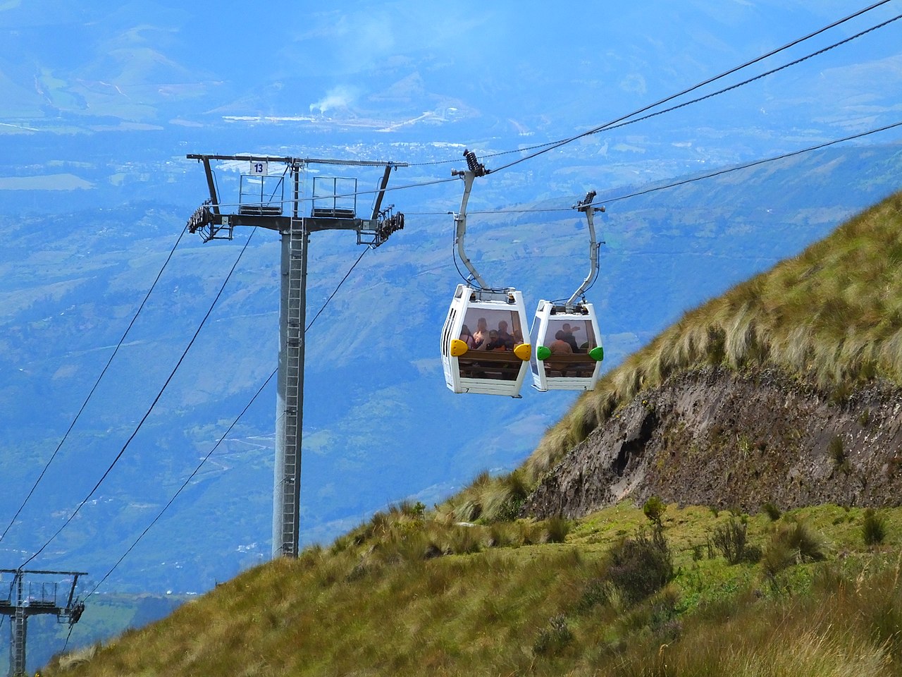
A terrific way to acclimatize to altitude from Quito is to take one of the highest aerial lifts in the world, rising from 3,117 m (10,226 ft) to 3,945 m (12,943 ft).
It’s called the TelefériQo. $9 ticket in 2026. Get there close to opening in the morning at 9 or 10am.
Click PLAY or watch it on YouTube.
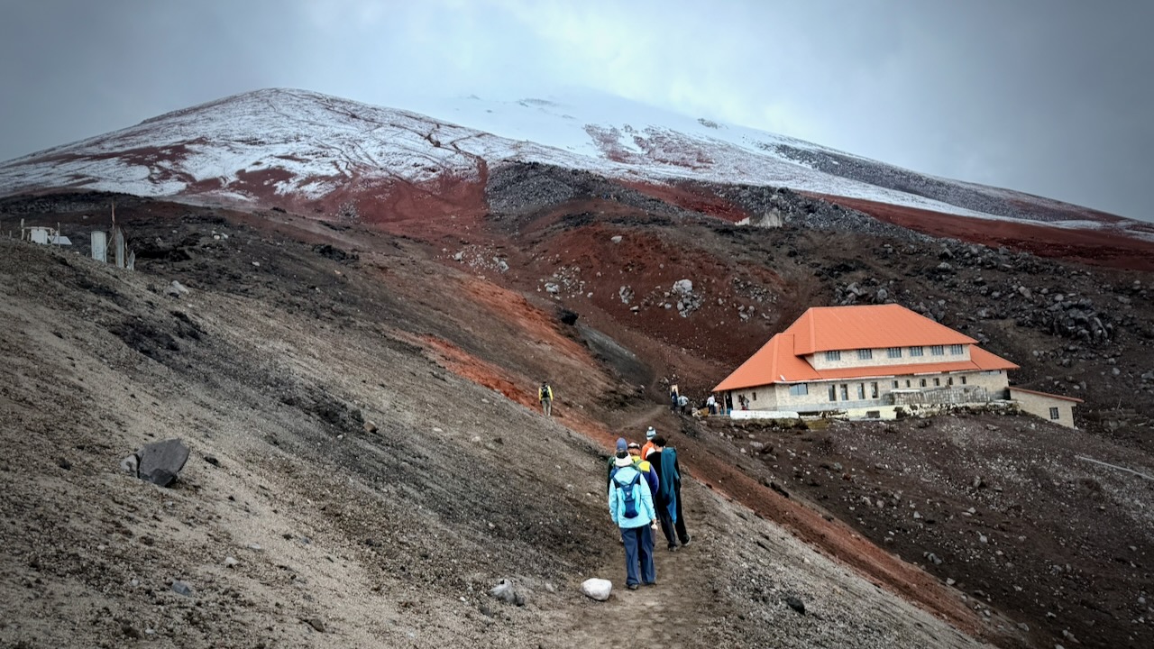
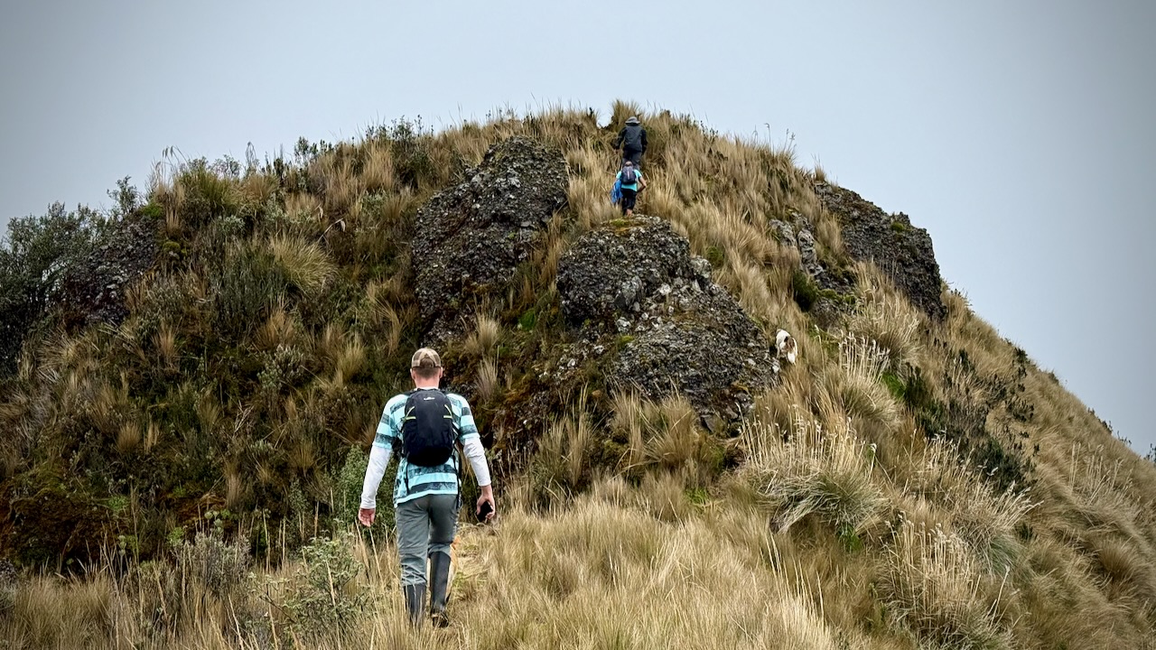
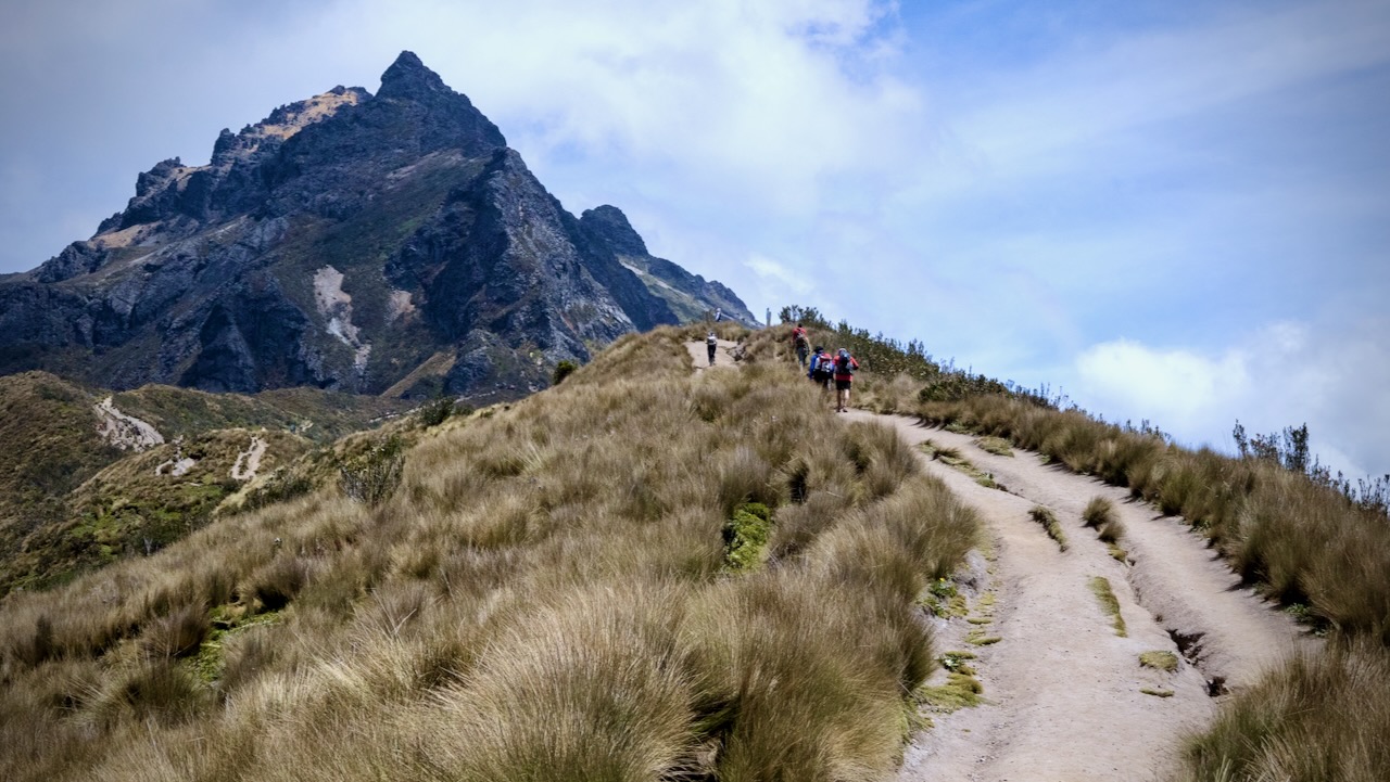
From the top, you continue up as high as you like.
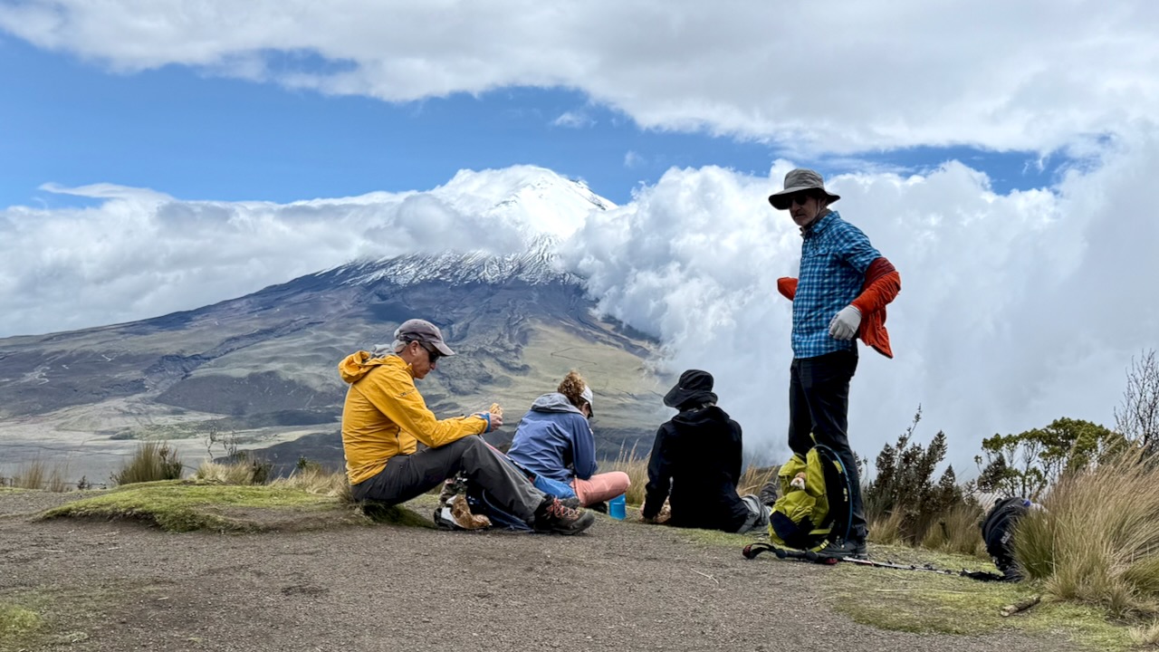
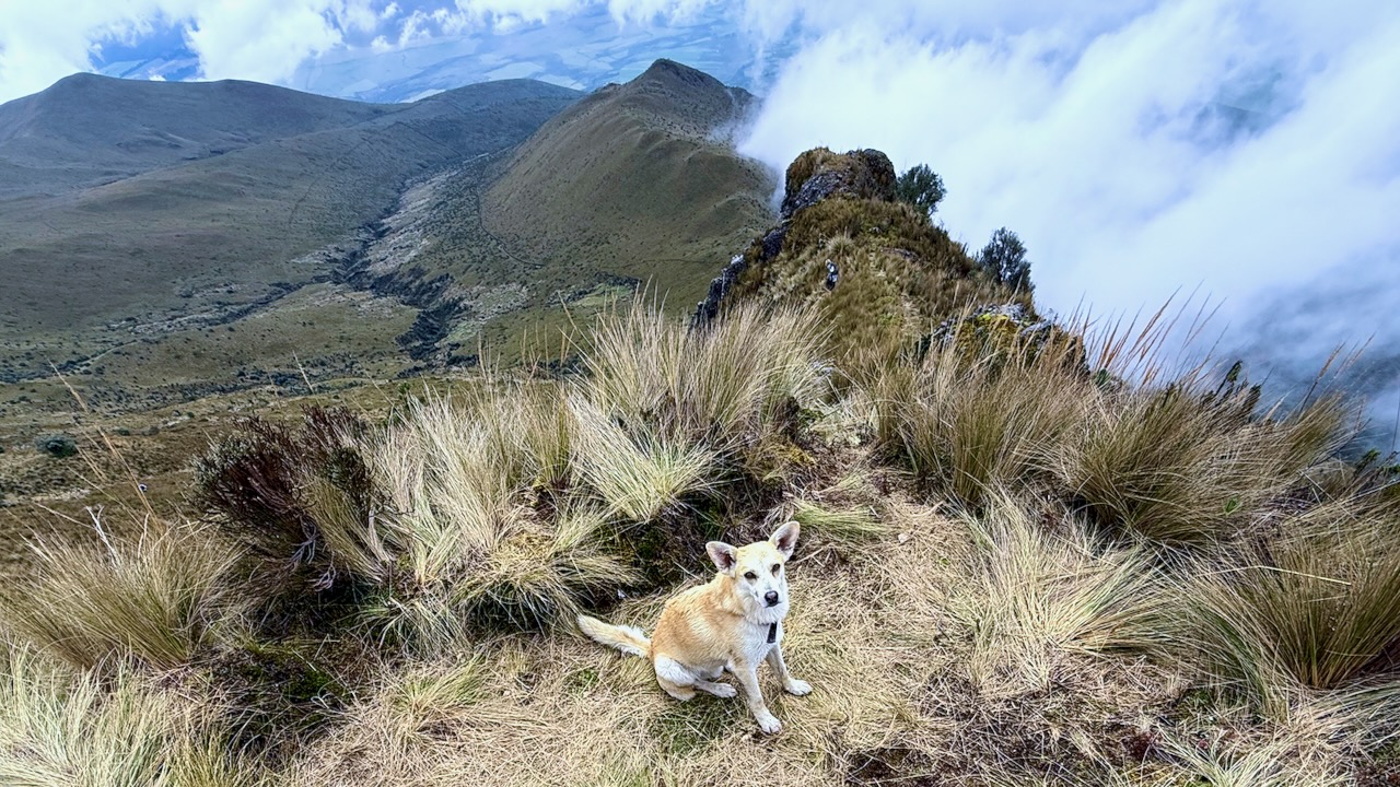
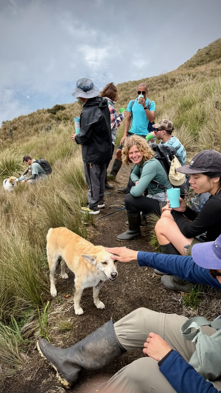
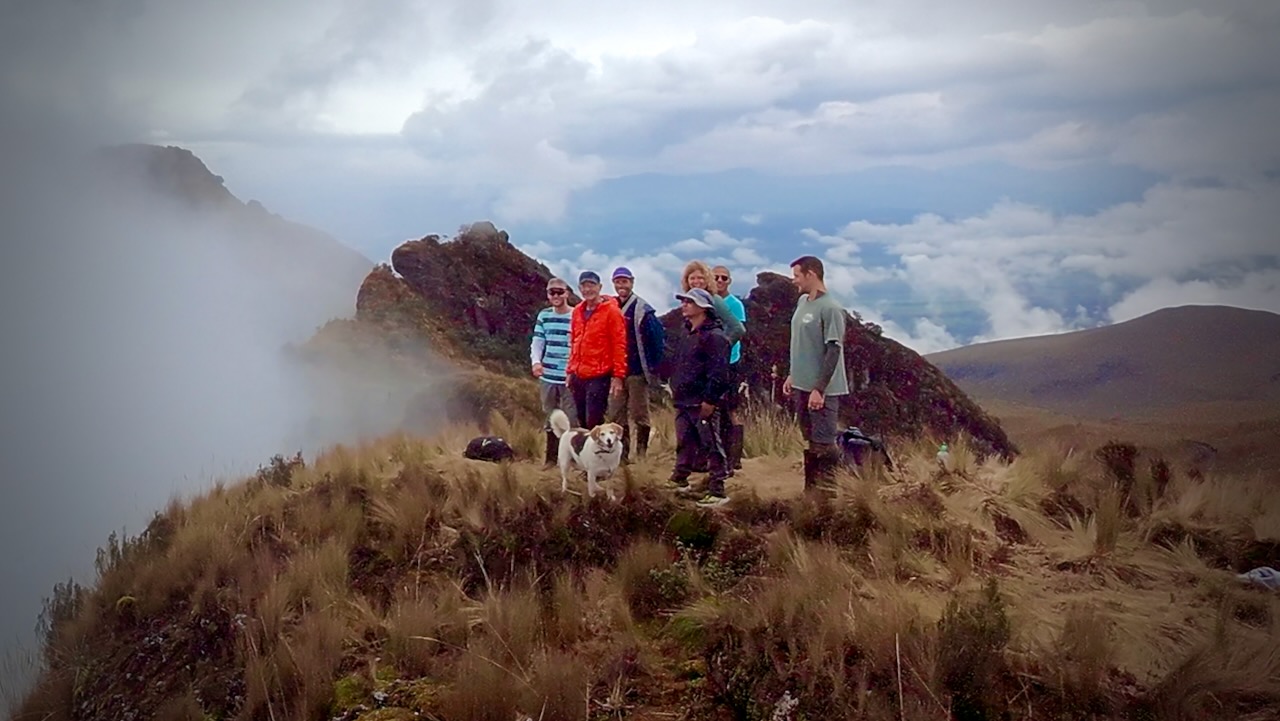
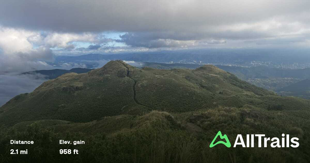
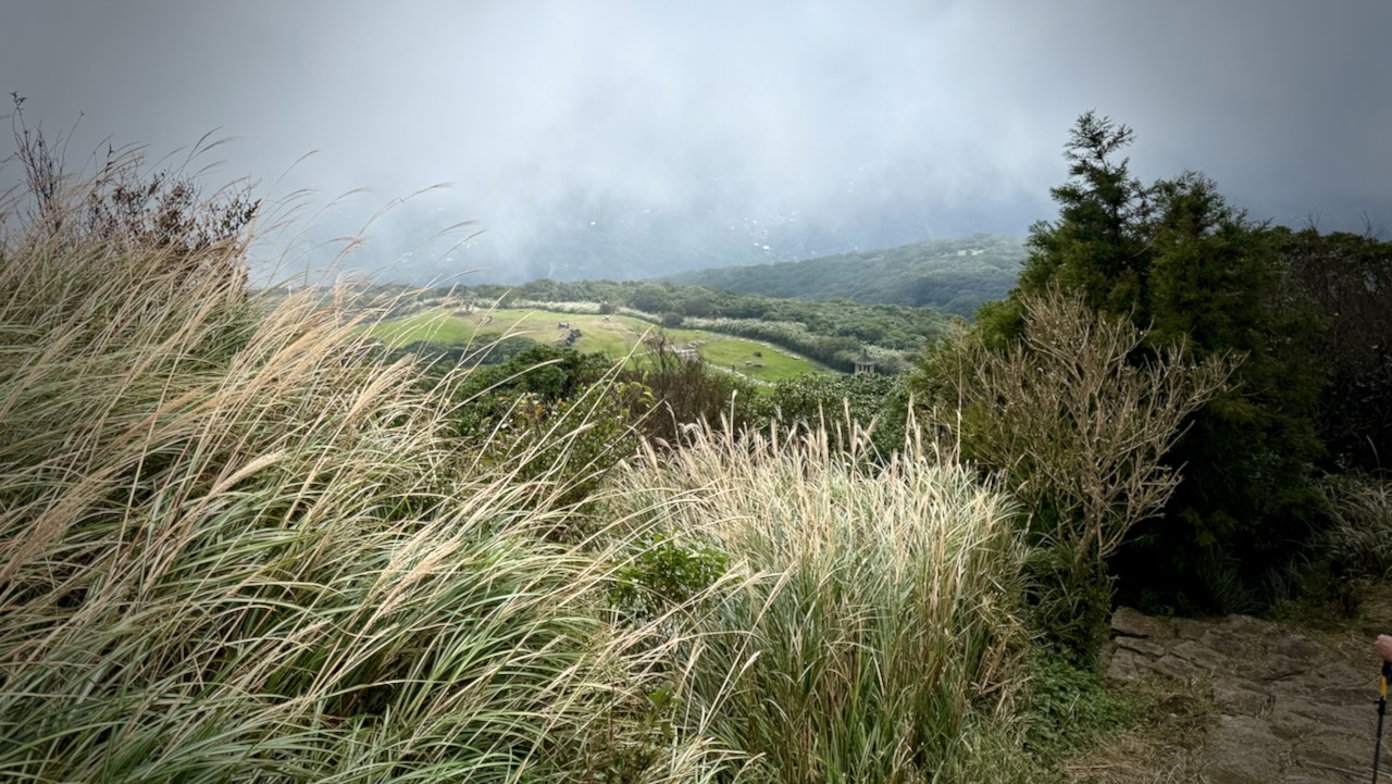
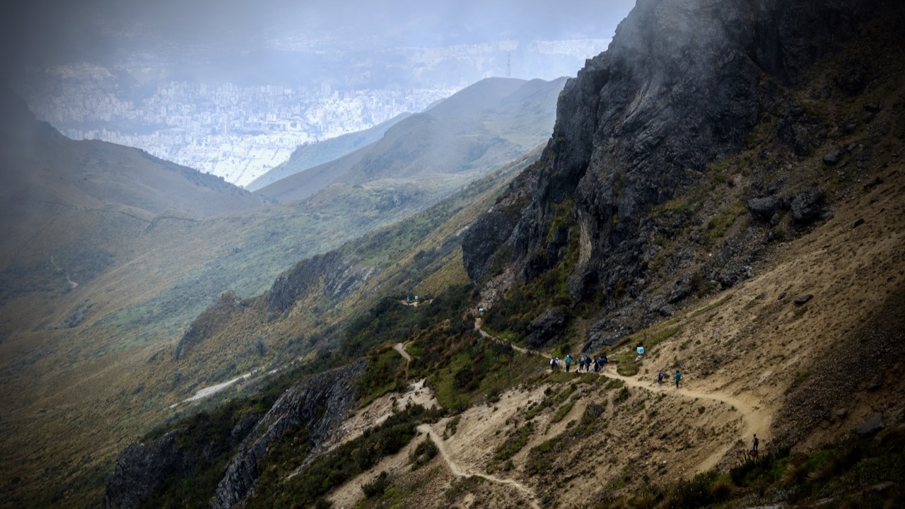
There are great views of Quito below.
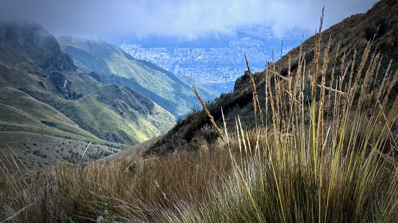
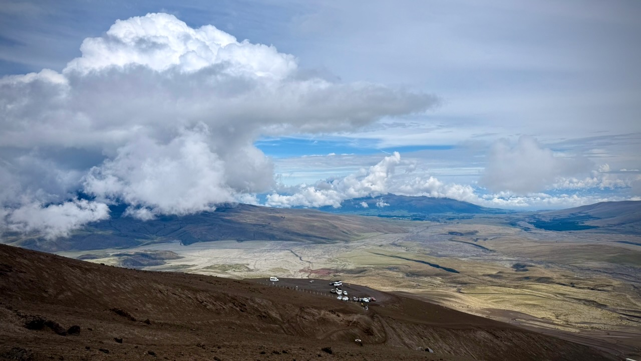
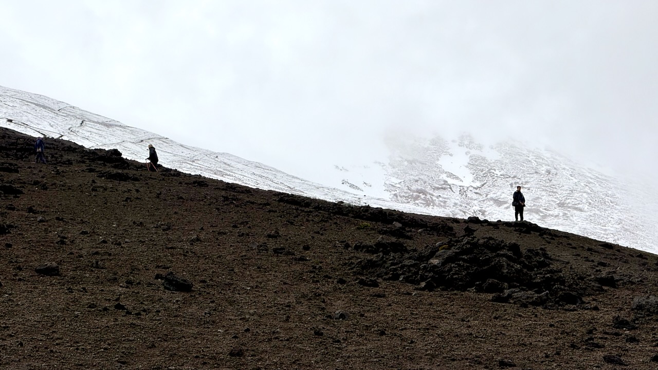
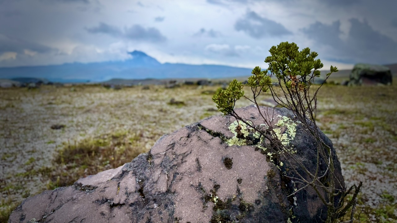
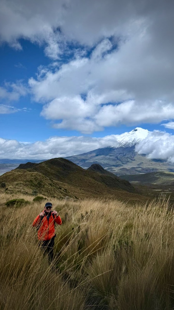
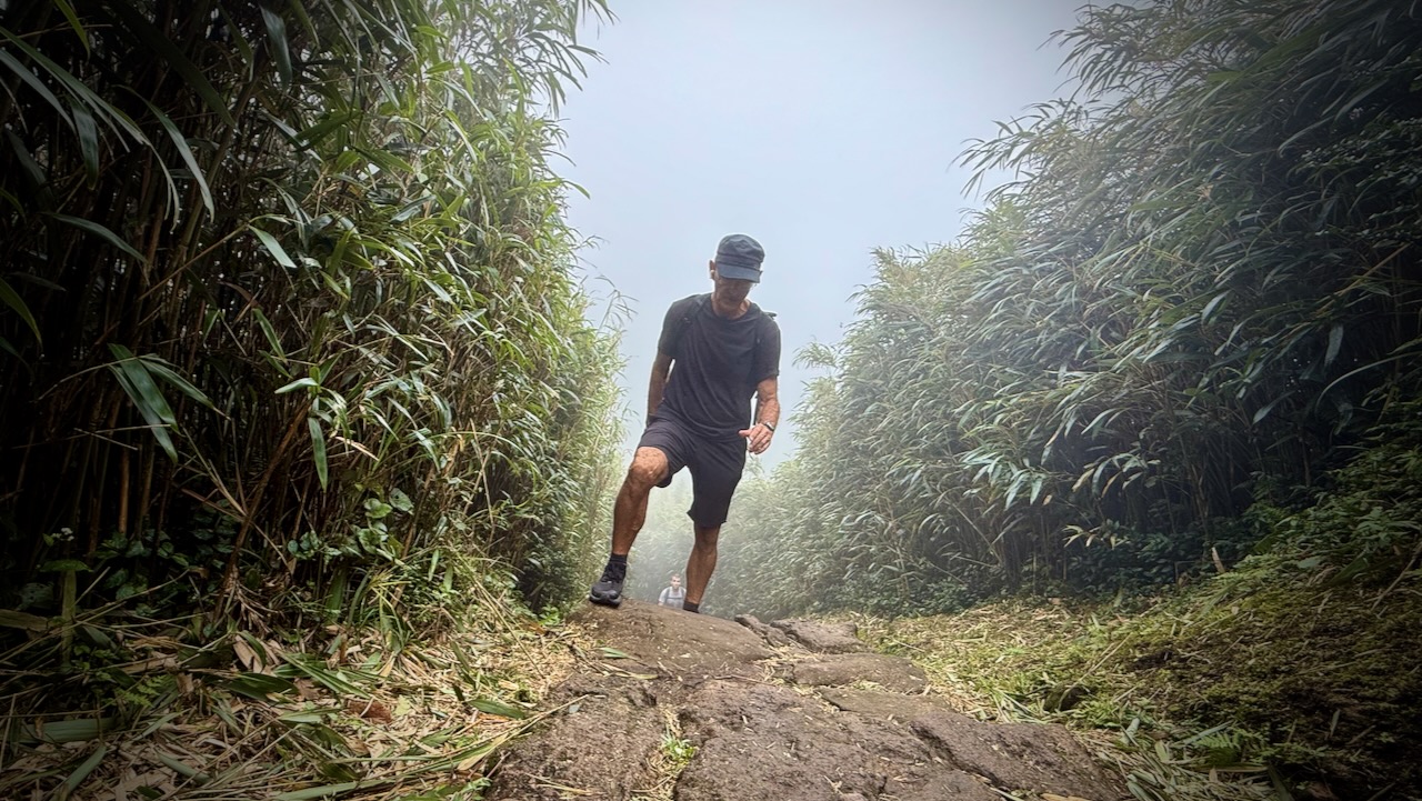
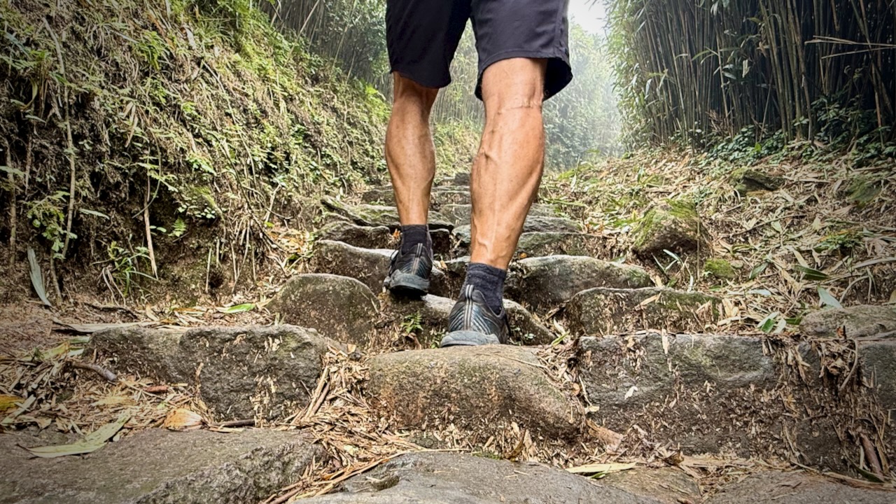
The trail is easy walking through grassland.
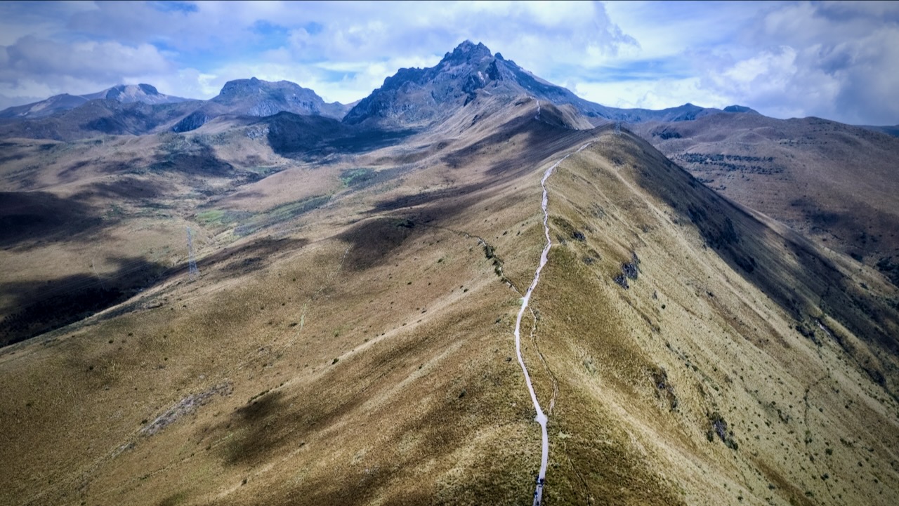
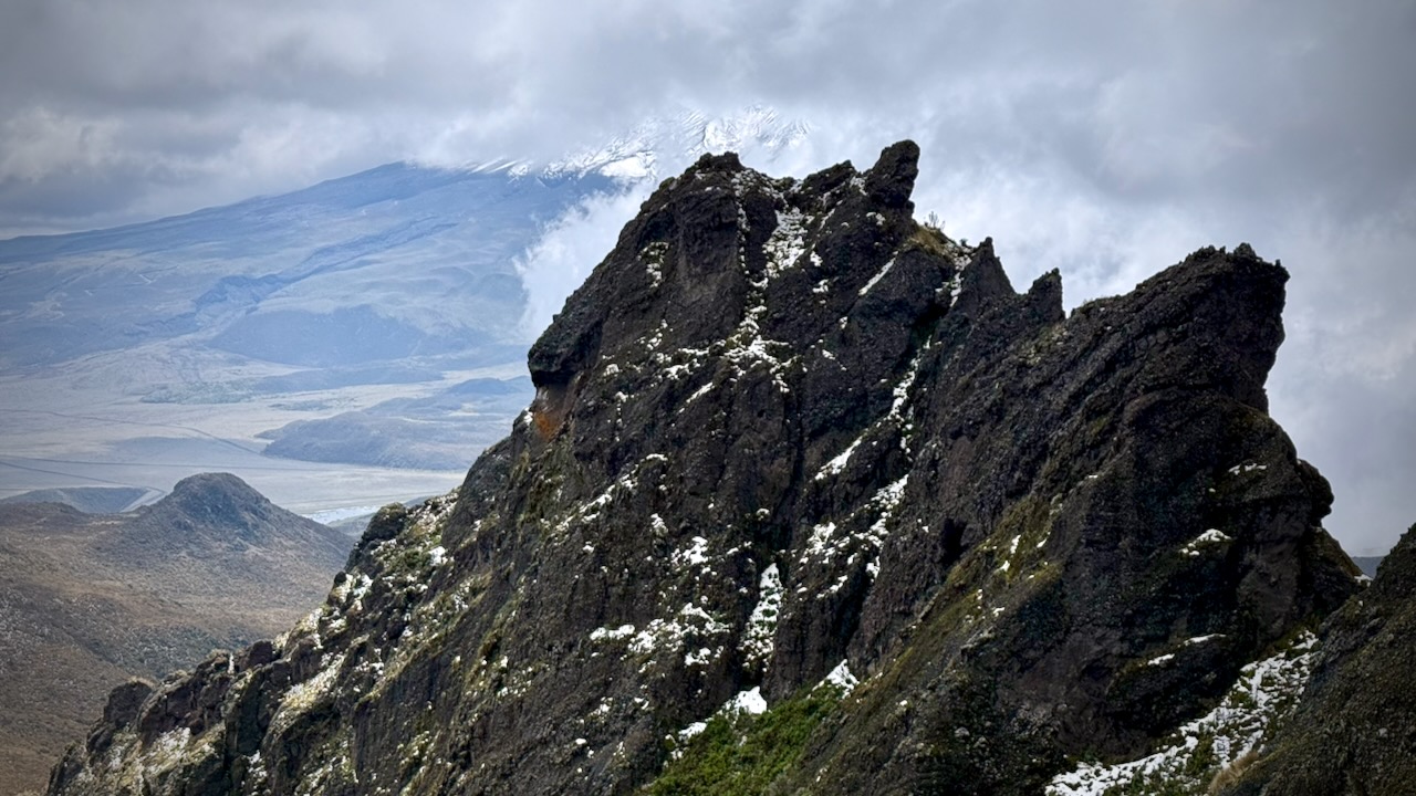
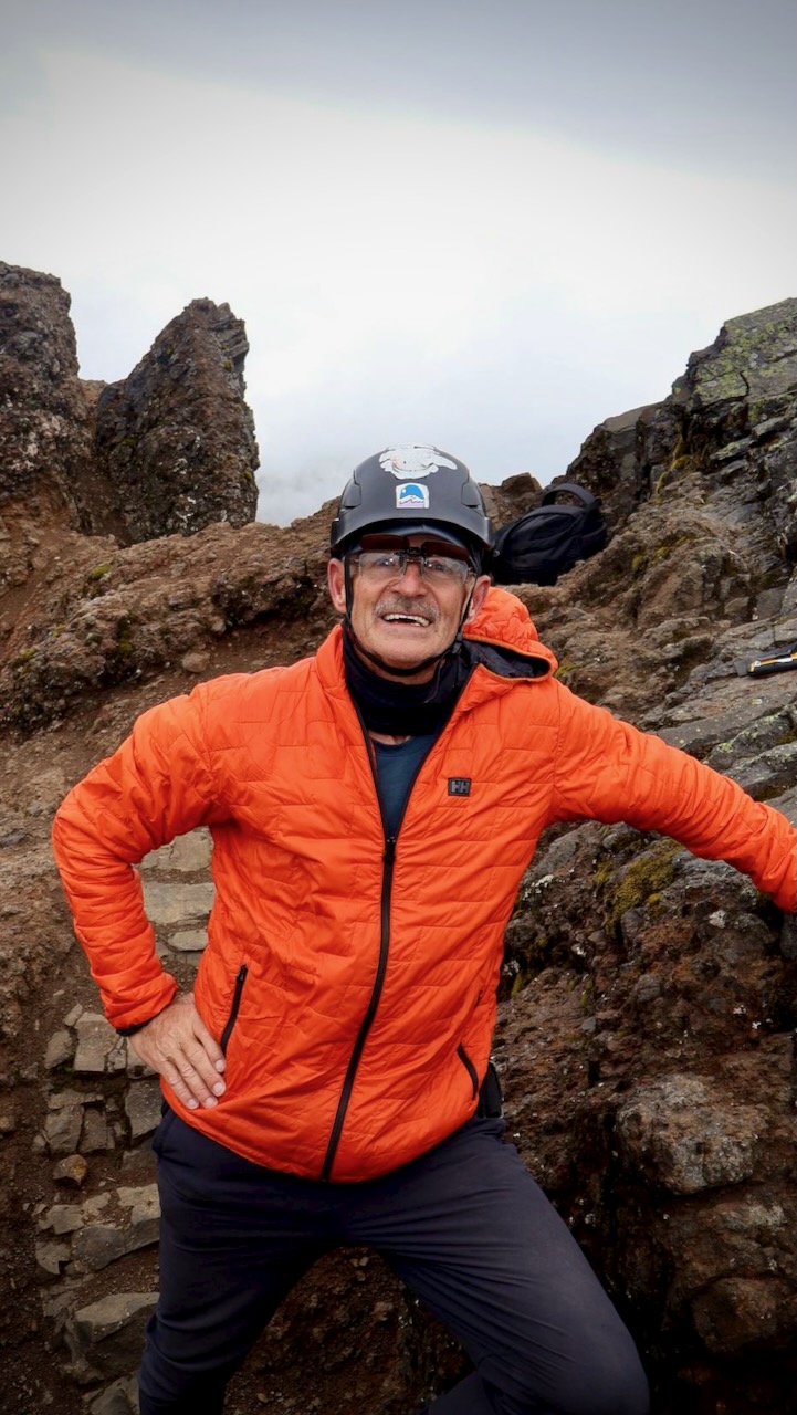
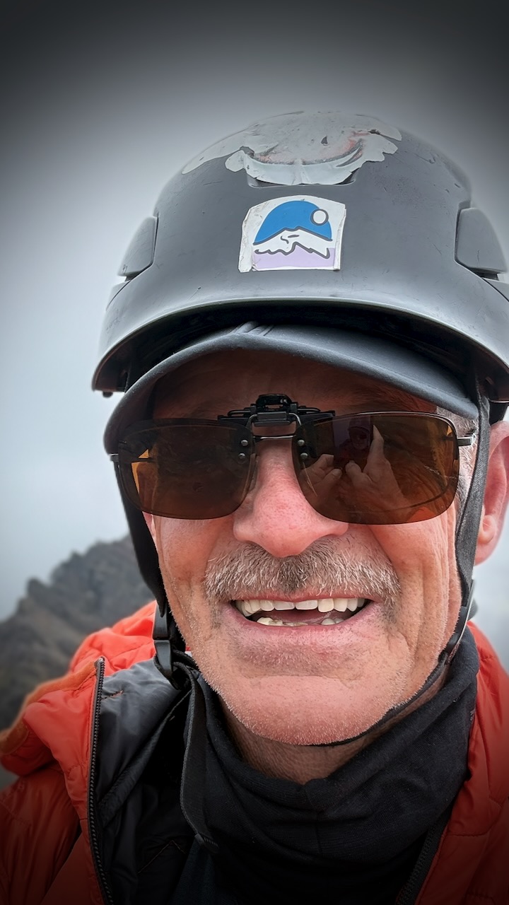
Ruku peak is 4,698 metres (15,413 ft) — but the top is a scramble. You might want a helmet.
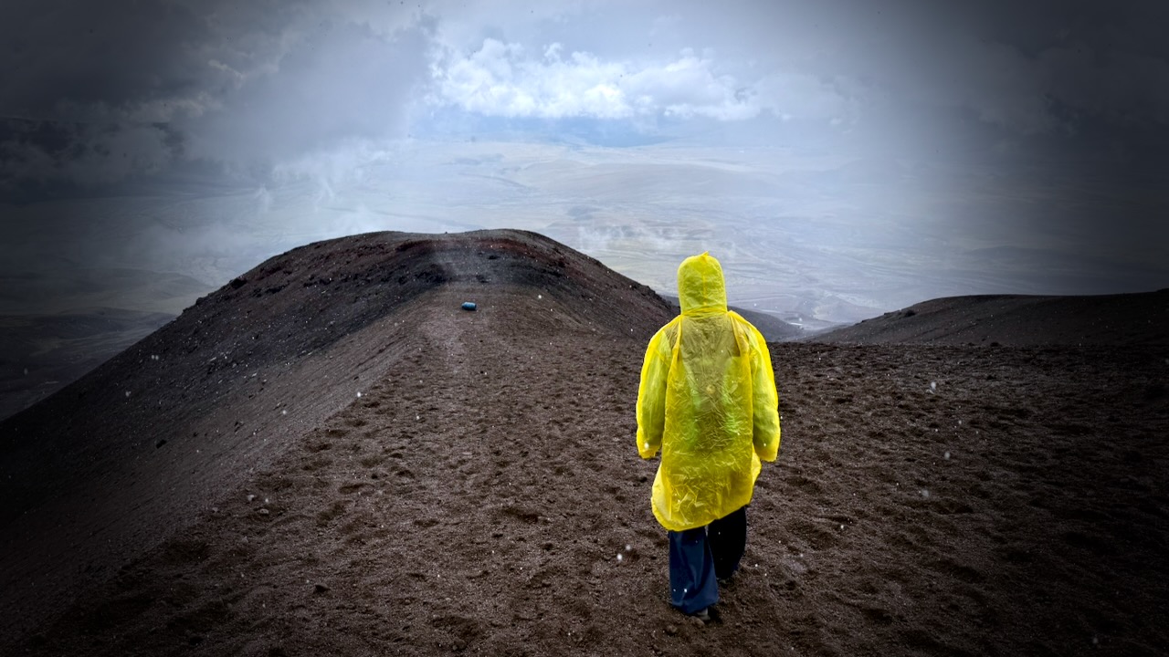
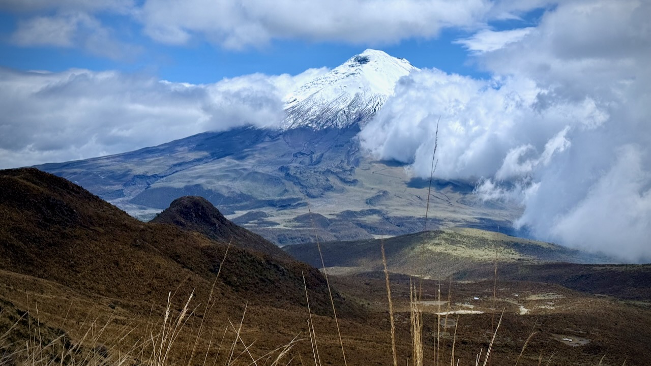
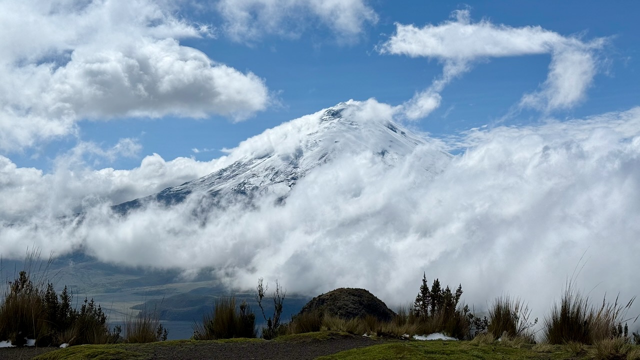
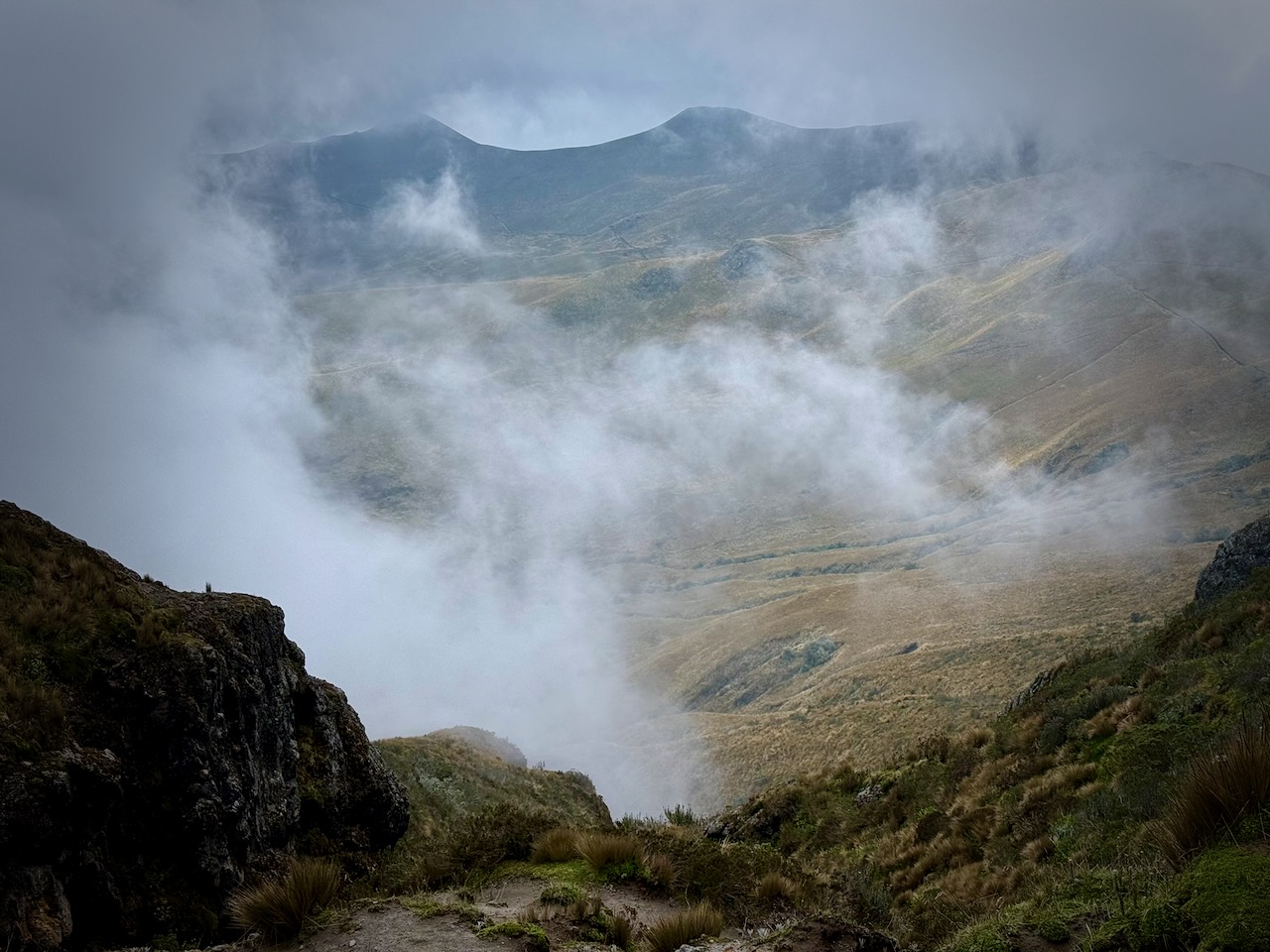
At any time, clouds may roll in. It could rain or hail on short notice. The TelefériQo shuts down in high wind or hard rain, trapping folks up top until service can be resumed.
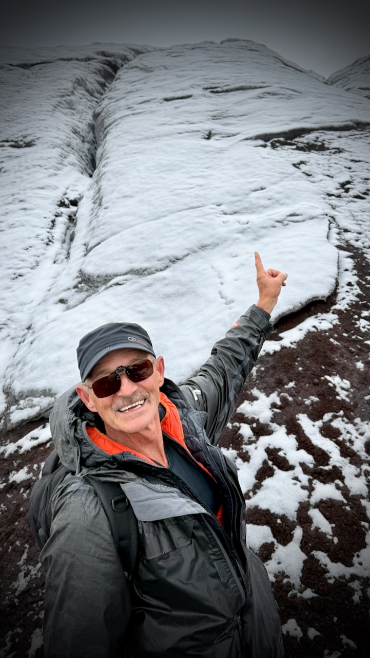
I ended up climbing to about 4500m.
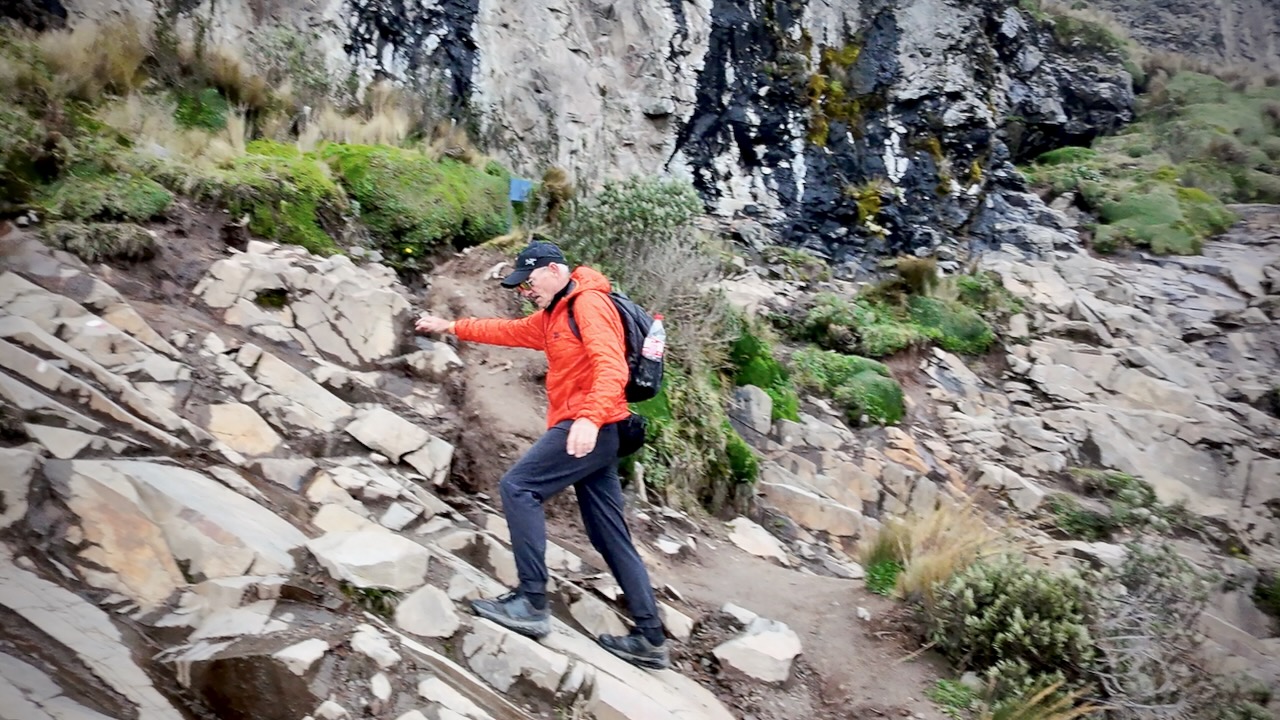
Once it got too rocky, I stopped. Crashed my drone. 😀 And started down.
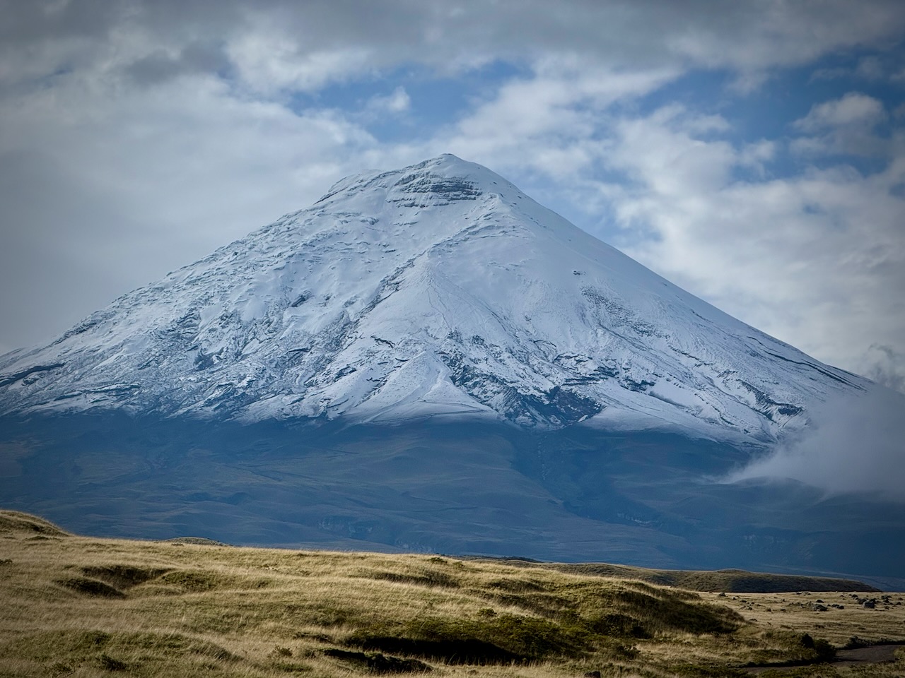
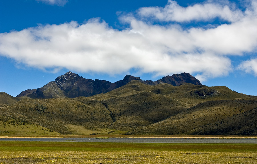
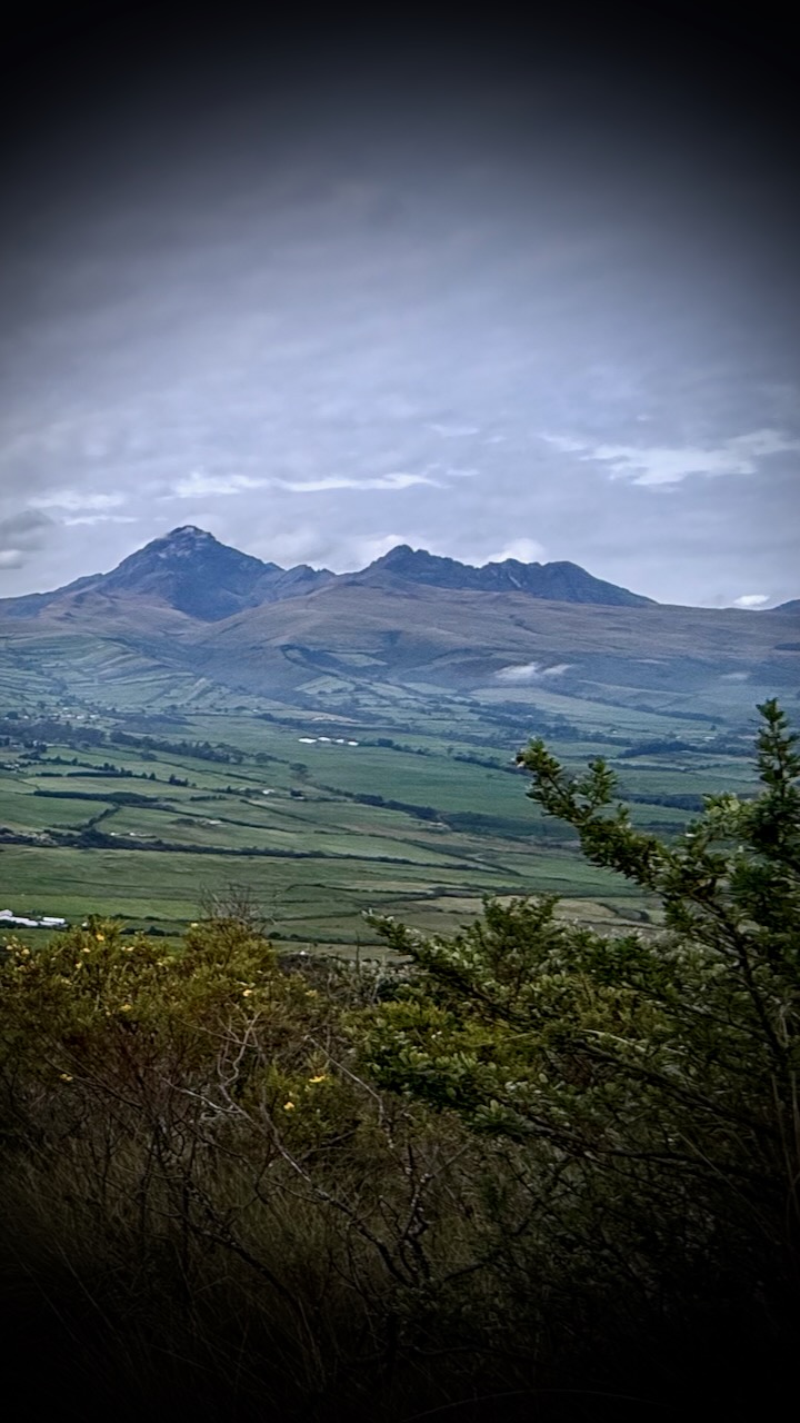
Pichincha is a stratovolcano in Ecuador. The capital Quito wraps around its eastern slopes.
The two highest peaks of the mountain are Wawa Pichincha (Kichwa wawa child, baby / small, Spanish spelling Guagua Pichincha) (4,784 metres (15,696 ft)) and Ruku Pichincha (Kichwa ruku old person, Spanish Rucu Pichincha) (4,698 metres (15,413 ft)).
Both peaks are visible from the city of Quito and both are popular acclimatization climbs. Wawa Pichincha is usually accessed from the village of Lloa outside of Quito. Ruku is typically accessed from the TelefériQo on the western side of Quito.
related – AllTrails – Ruku Pichincha