Trip report by BestHike editor Rick McCharles.
We signed on for a climb of Rumiñahui Central with Secret Garden Cotopaxi.
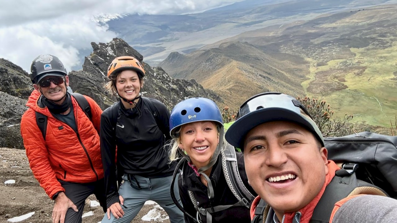
Spoiler. Lexi, Tahel, and myself all made it to 4,643m. Super happy here. Our guide was terrific.
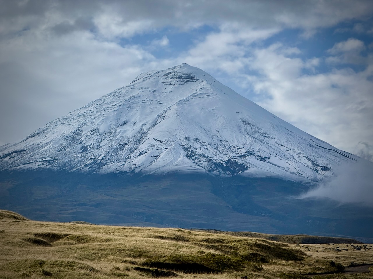
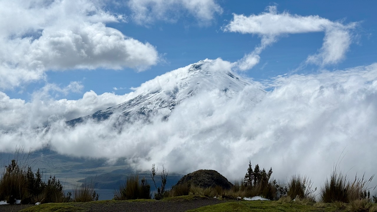
Rumiñahui is considered a lead-up to Cotopaxi (5,897m) and then Chimborazo (6,263–6,310m).
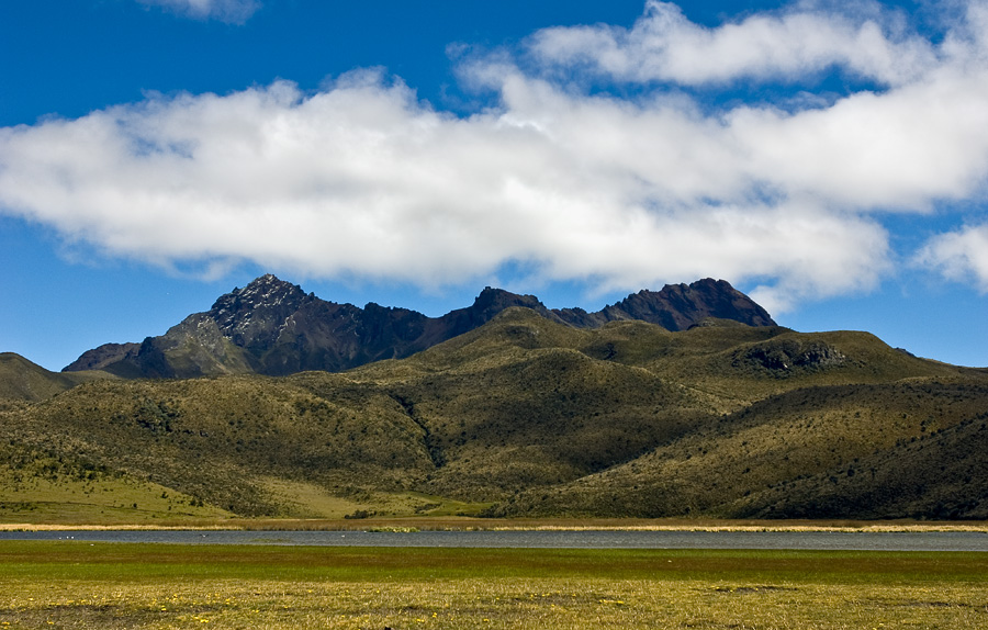
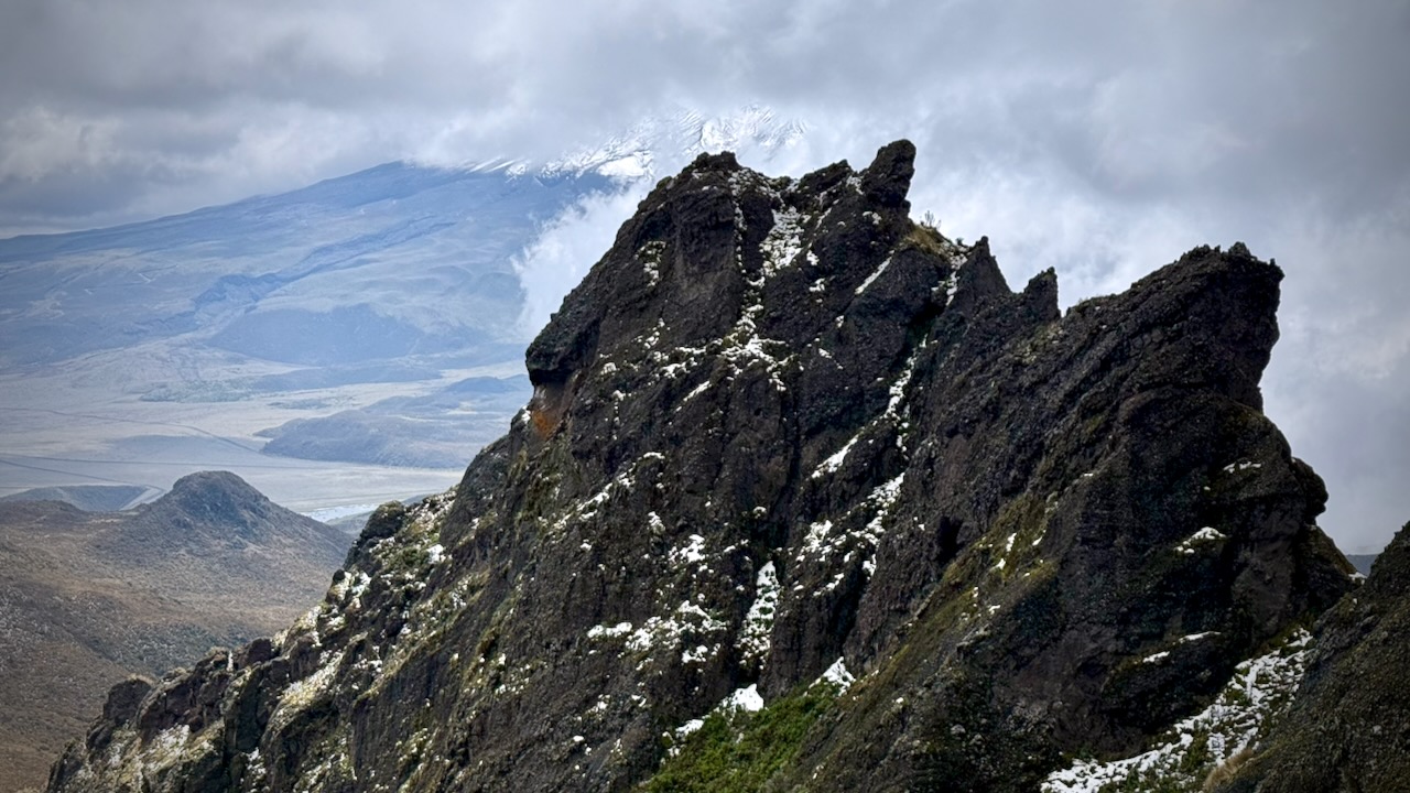
Rumiñahui is a dormant, heavily eroded stratovolcano 4,721 metres (15,489 ft) above sea level.
Situated in the Andes mountains 40 km south of Quito, Ecuador, it is overshadowed by its famous neighbour Cotopaxi.
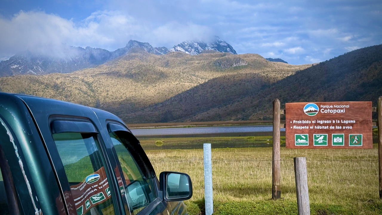
This mountain is in Cotopaxi National Park, so we drove directly towards the big peak. Excellent weather early morning.
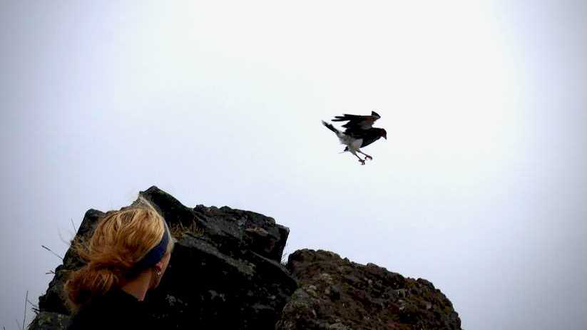
We parked at Lake Limpiopungo at approximately 3,850m. Many different species of birds alight here.
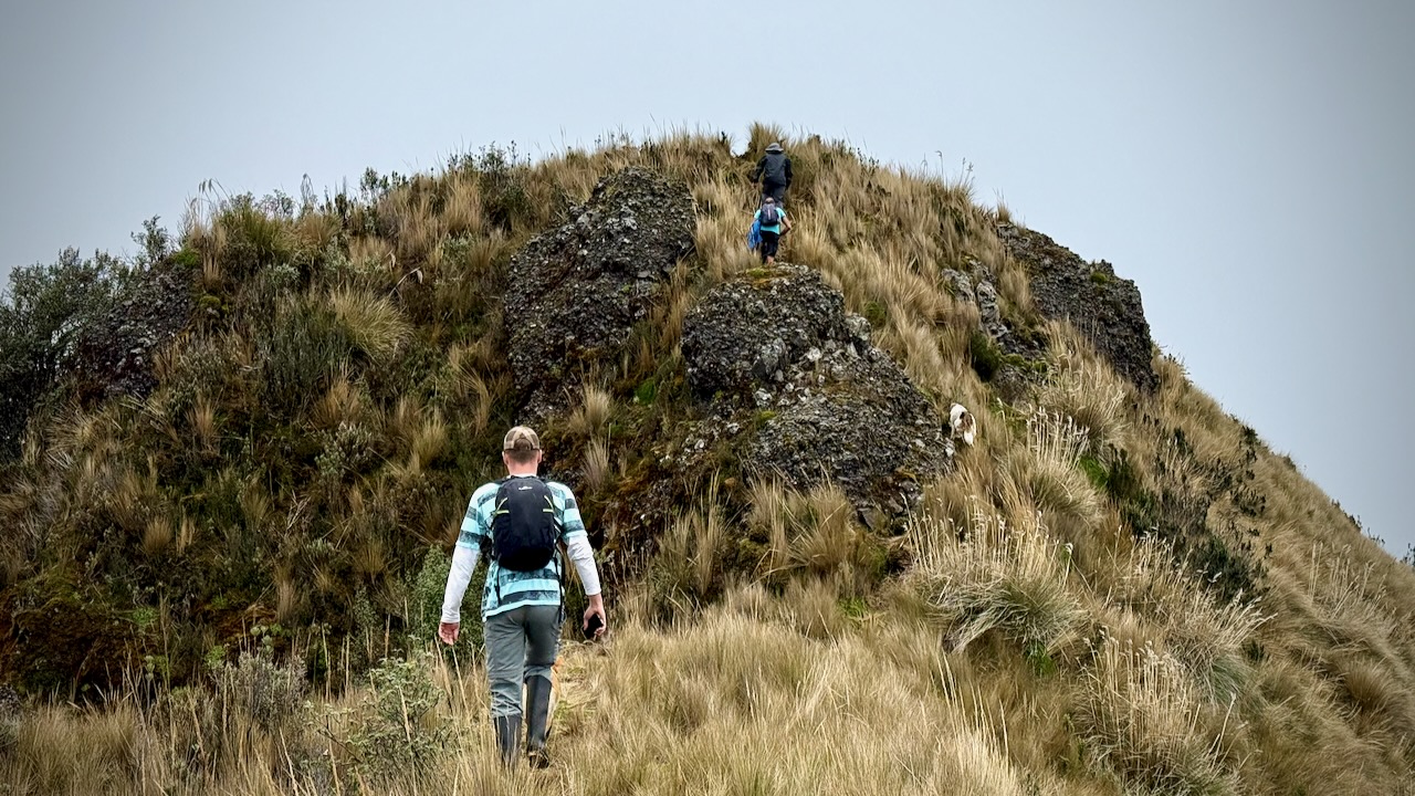
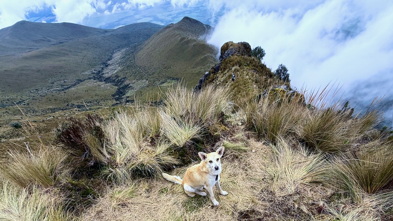
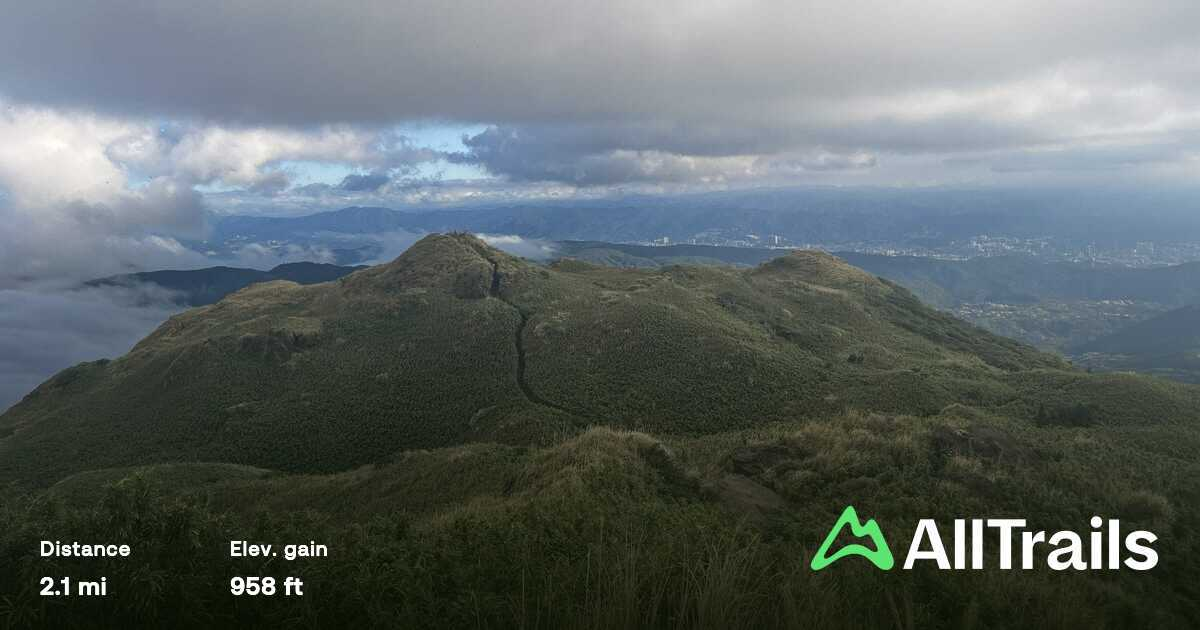
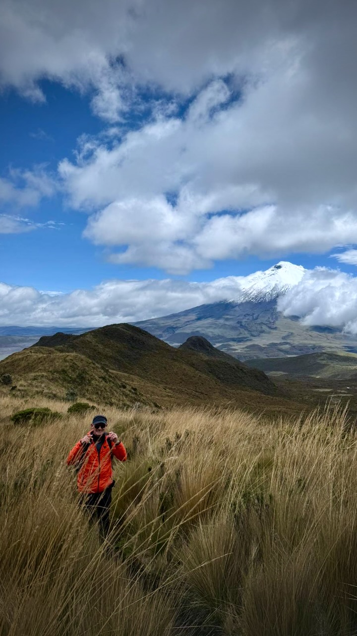
Headed to that central peak.
We saw rabbits at the beginning while climbing up through paramo.
And condors floating in the updraft.
On the way down, our guide spotted wild horses below.
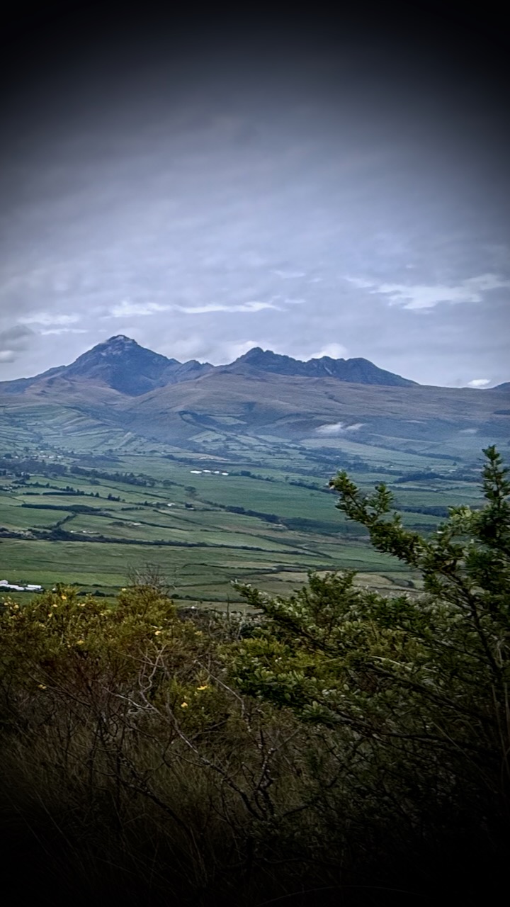
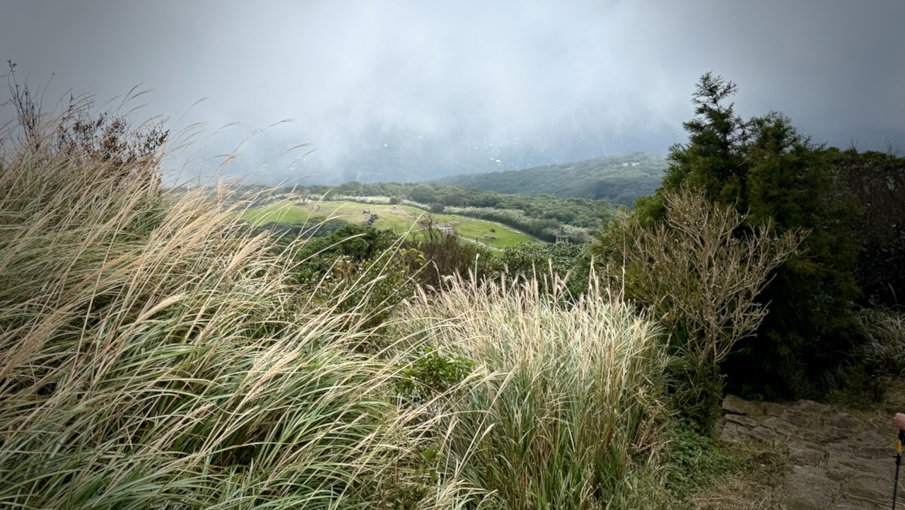
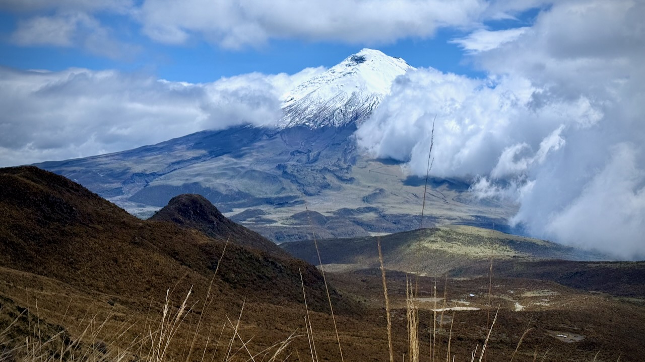
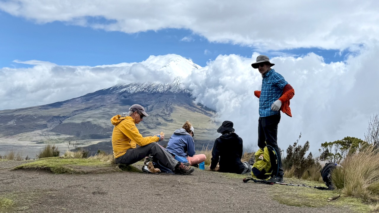
We had amazing views of Cotopaxi.
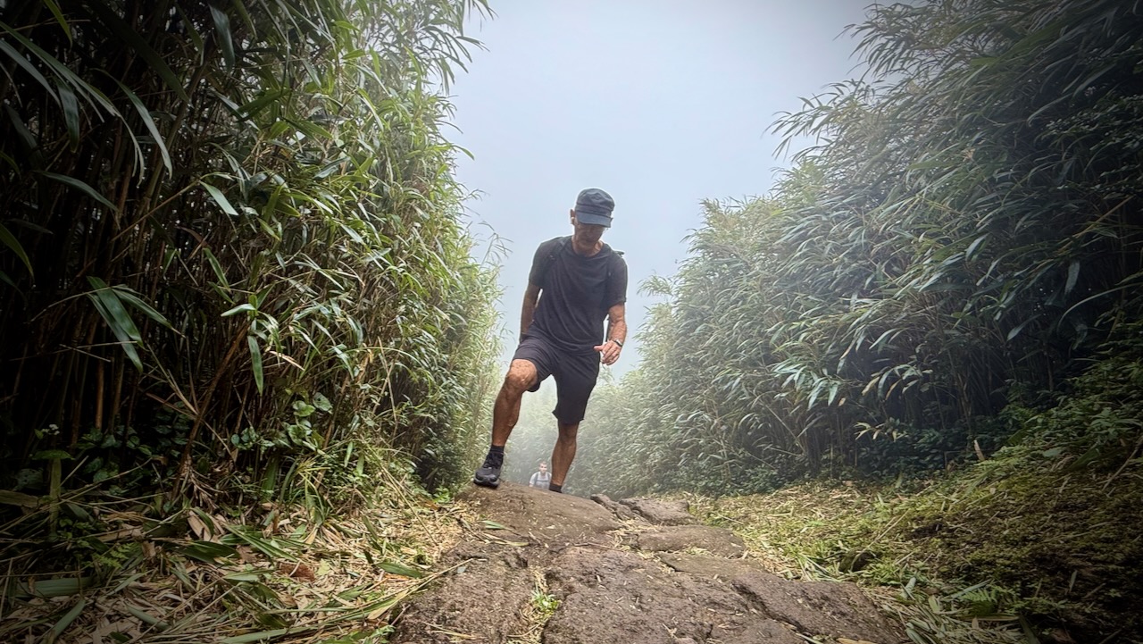
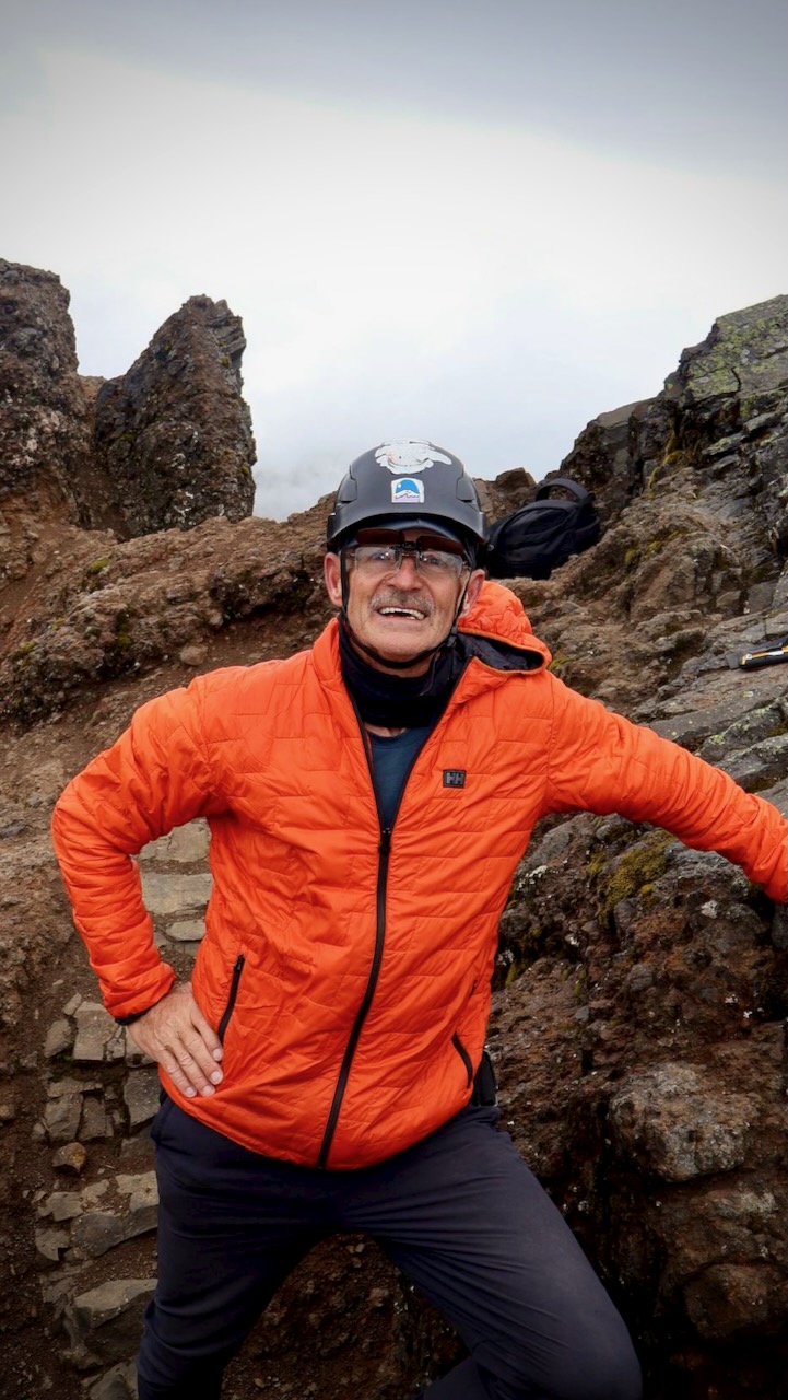
I call it a scramble because this mountain is quite jagged. We used our hands quite a bit at the top. Tahel put spare socks on her hands. I used a buff for protection. None of us had opted to carry gloves.
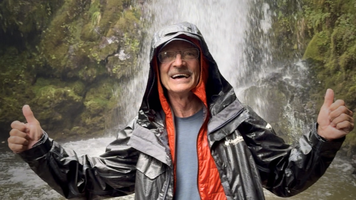
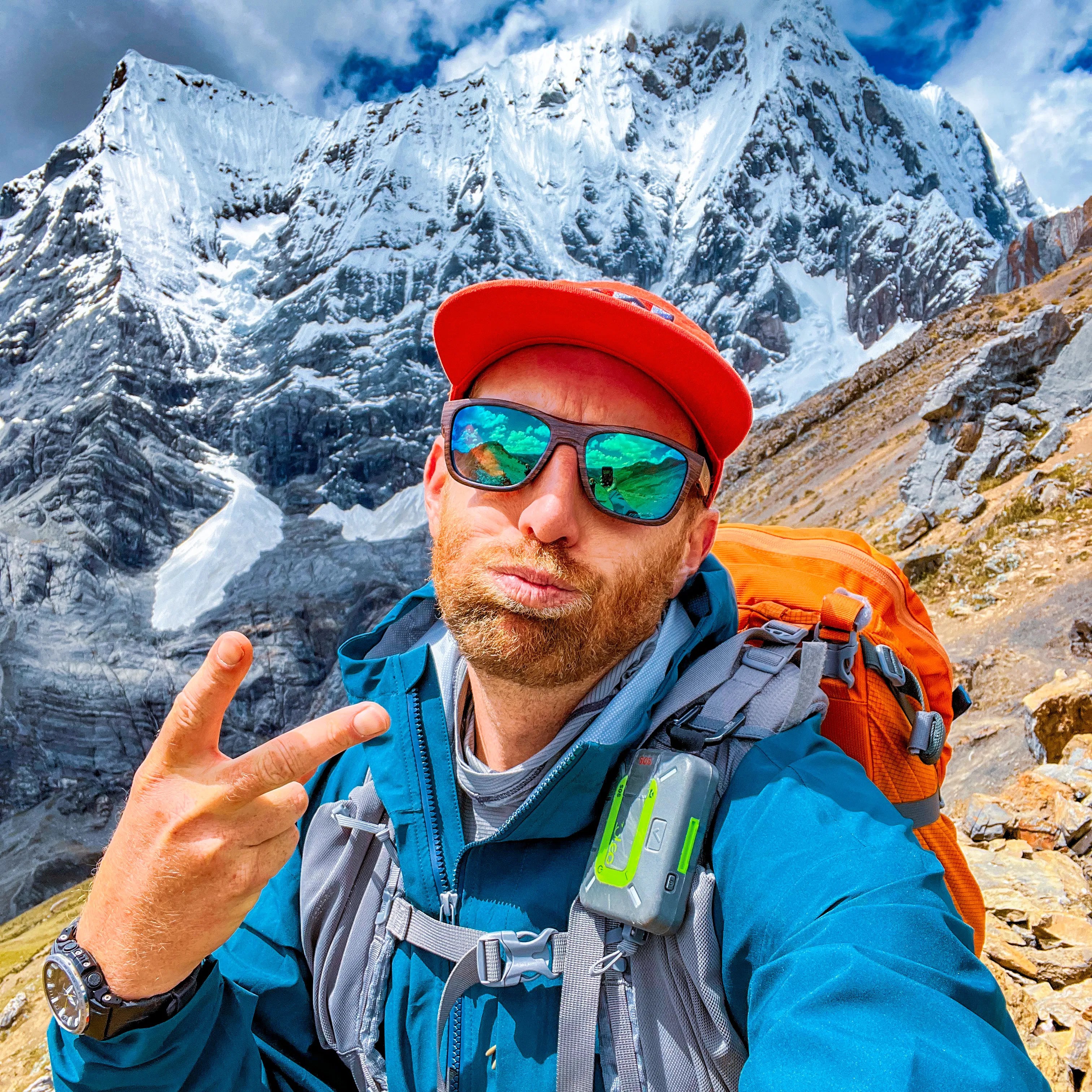
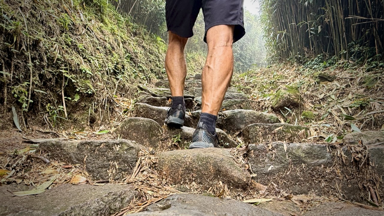
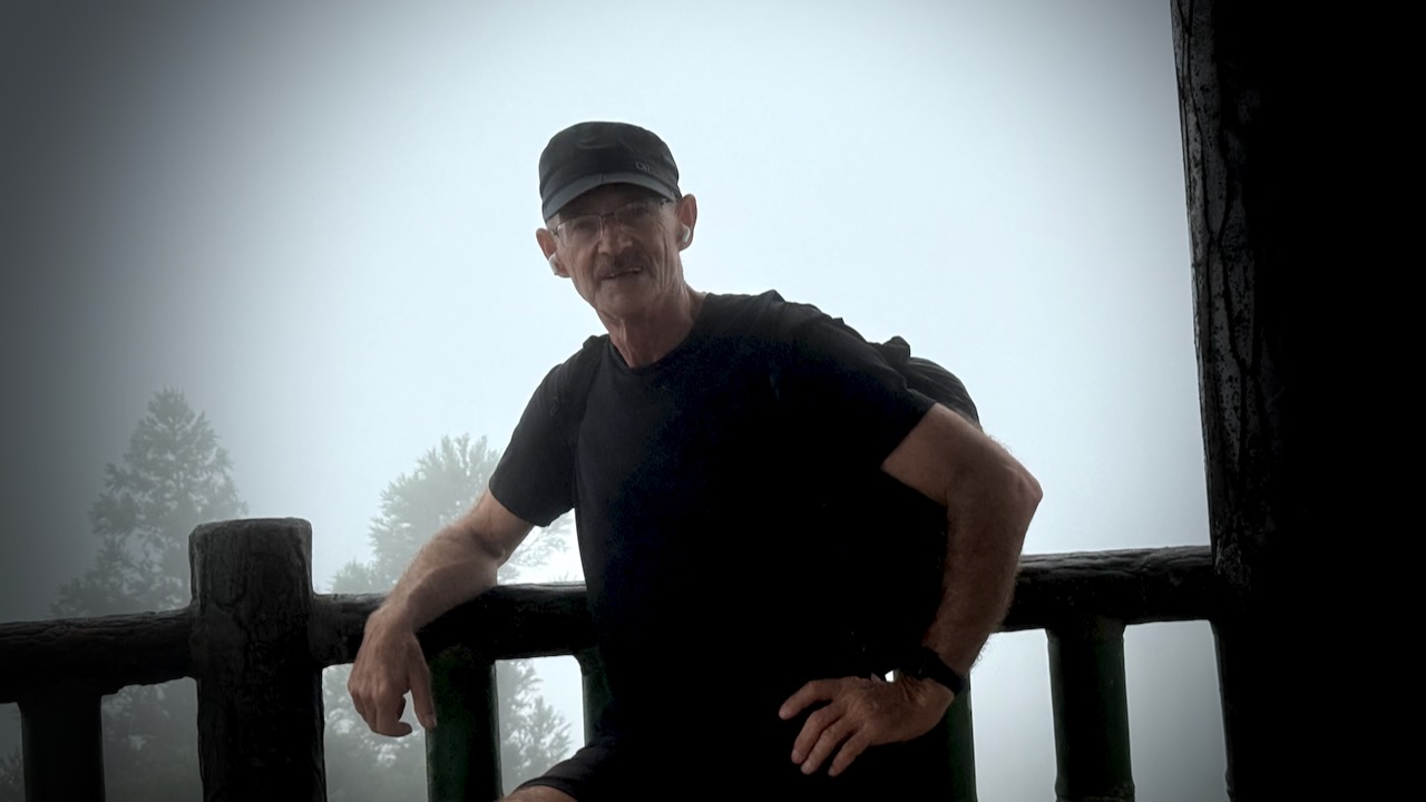
Check this rugged mountaineer.
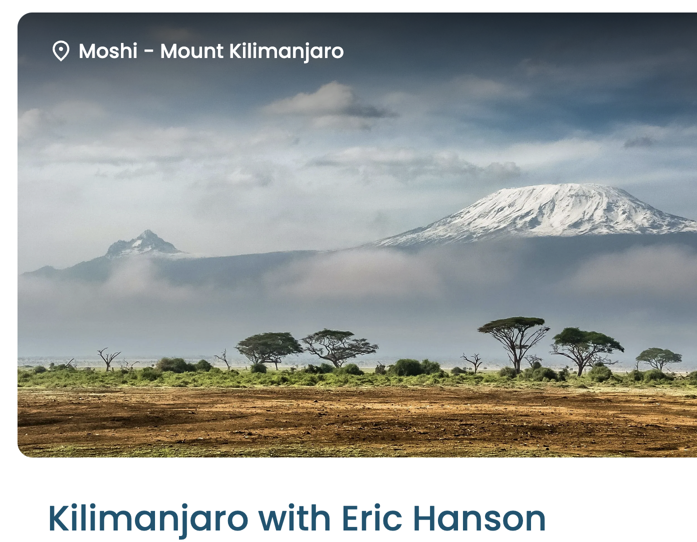
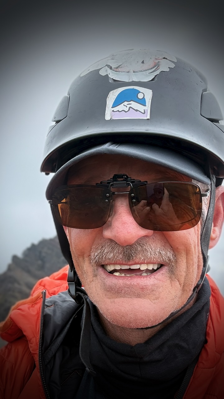
Ready for Kilimanjaro, coming up next.
The most surprising moment of the trip was having a caracara land on the summit just as we were celebrating.
A bit slow getting to the top, we actually ran down much of the mountain as Tahel had to catch a bus back to Quito at 3pm.
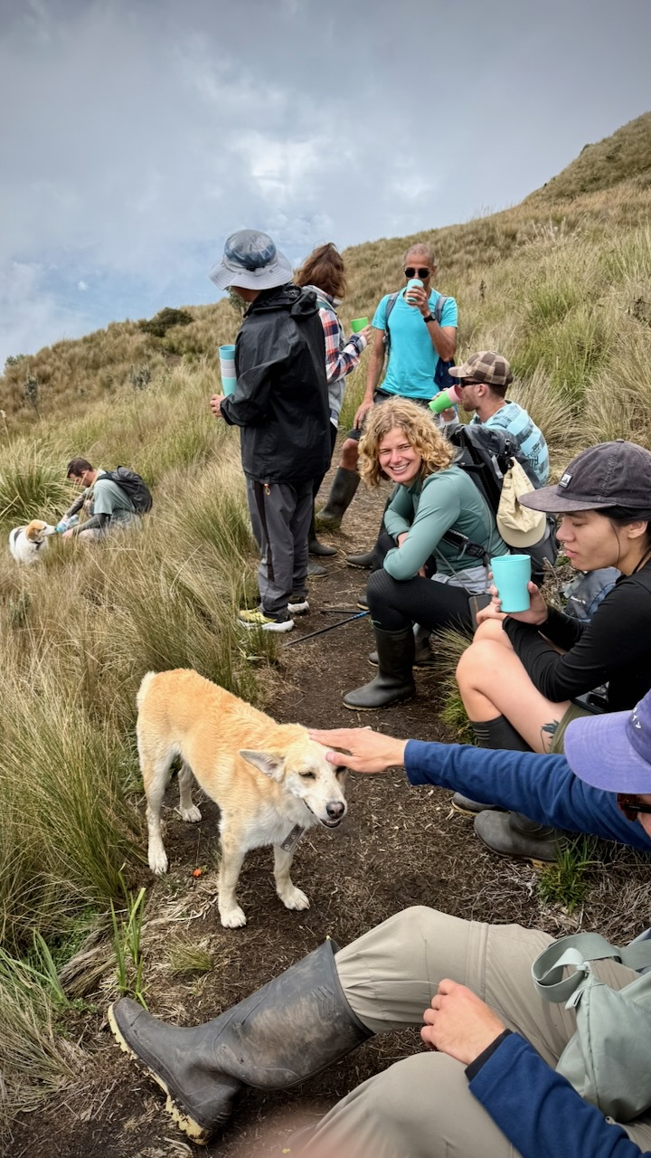
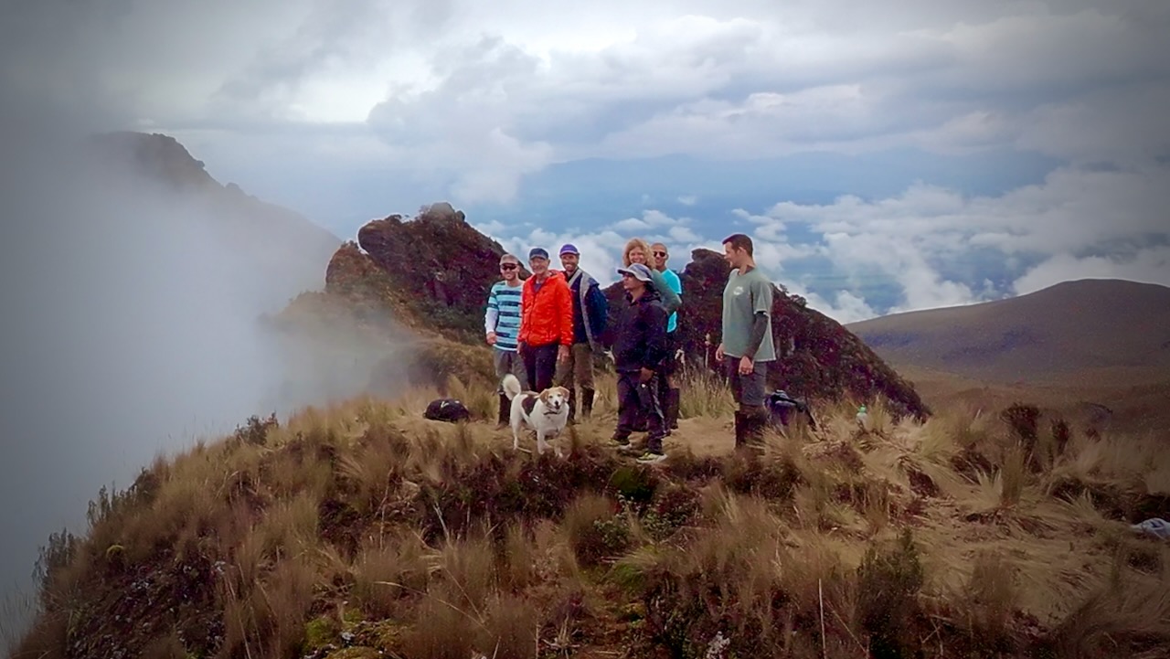
We stopped to chat with this group at 1pm. Just starting up.
Well … they had horrific hard rainfall in the afternoon. You really want to finish your hiking by 2pm in the Andes.
Click PLAY or watch our adventure on YouTube.