Should have done some research. Summit trekking peak tours of Etna generally operate from April through November, with the main hiking season starting around May.
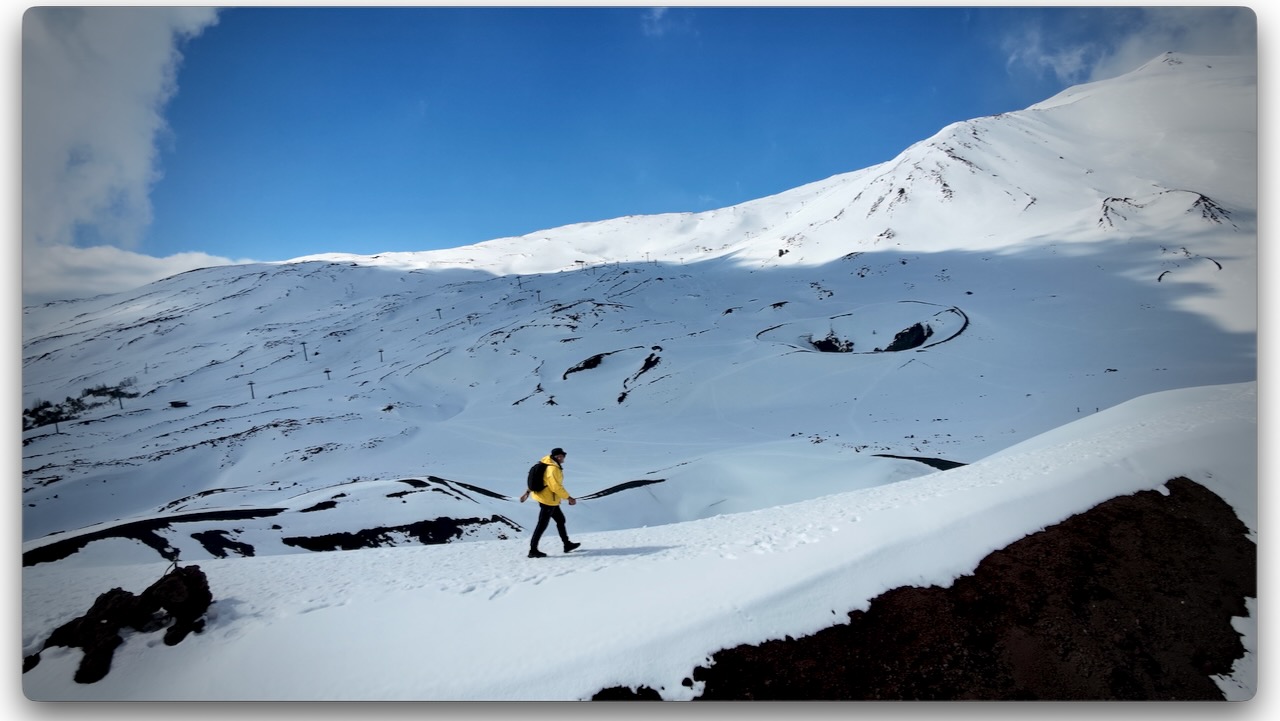
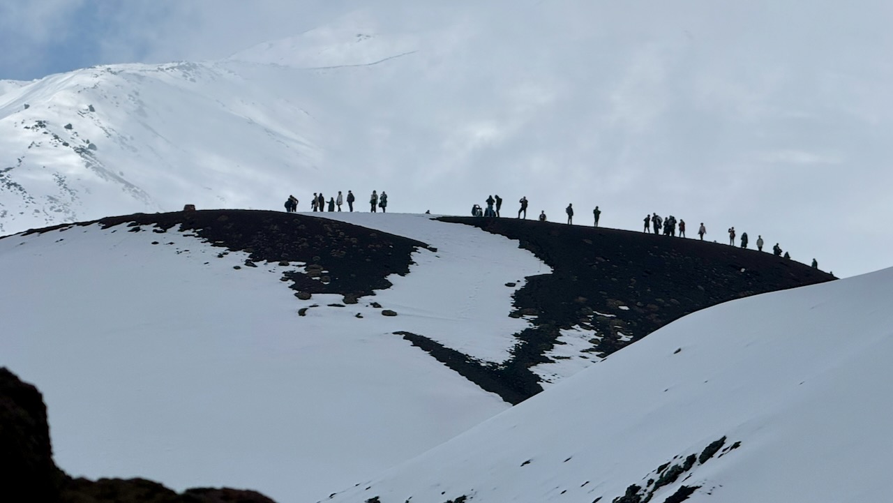
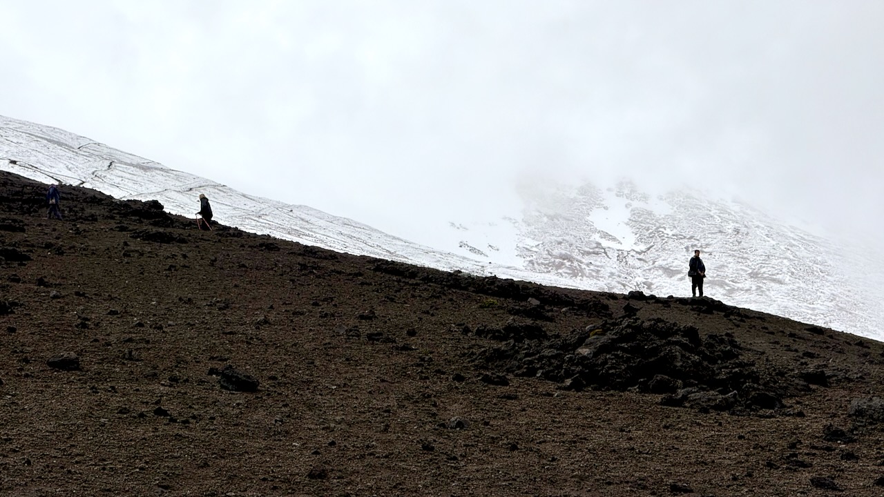
I arrived late March. There was a LOT of snow, even around 1900m. It can be 10–15°C cooler than in Catania. Many tourists arrive underdressed. And with footwear better for the beach than snow. 😀
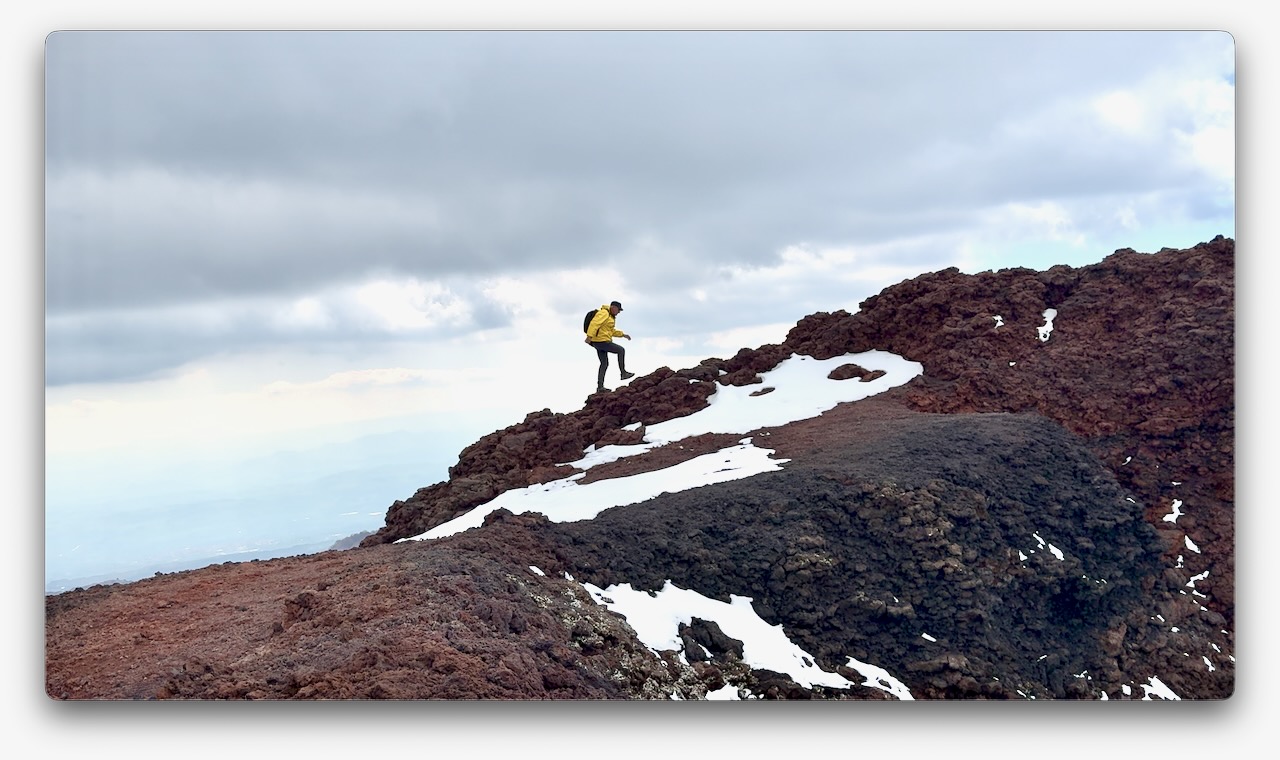
Volcanic rock is somewhat sharp. It can cut flip-flops. I wore approach shoes and was OK on the snow and ice. Coming from Canada, this was normal for me. I didn’t see anyone using any kind of ice cleats.
They ski and snowshoe here. There are 2 small ski resorts.
I’d flown into the jumping-off point for Etna, the city of Catania.
There are dozens of options for day hiking Etna, from dozens of companies. It’s confusing.
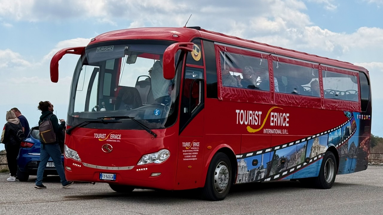
My hostel recommended a day trip by bus offered by Tourist Service for €30, discounted from a posted €35 regular price. Since their office was right next door to my accommodation, I signed up.
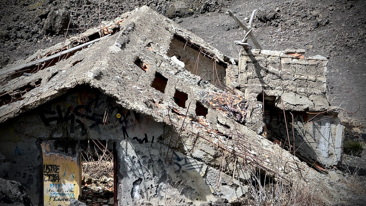
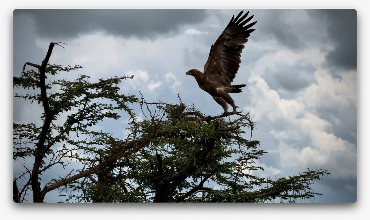
It’s about 2 hours (with traffic) to Etna from the city. On the way up, we stopped to see a recent example of eruption damage. Yikes. This mountain has killed a lot of people over the centuries.
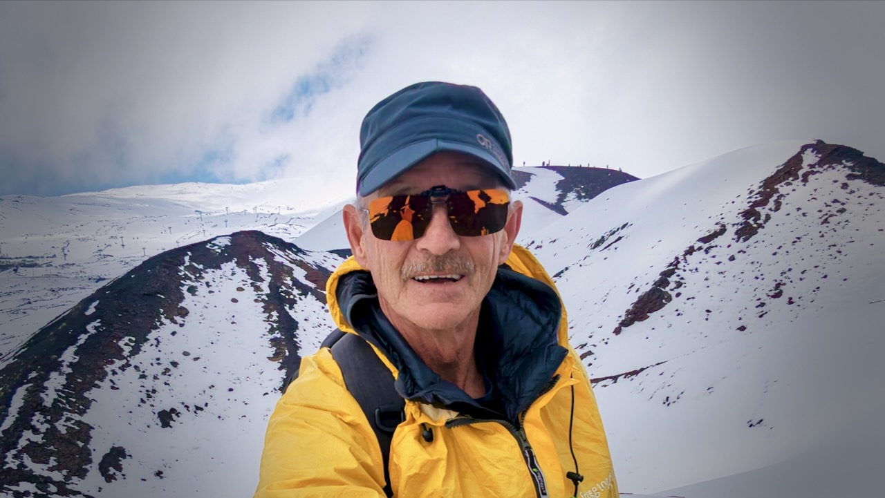
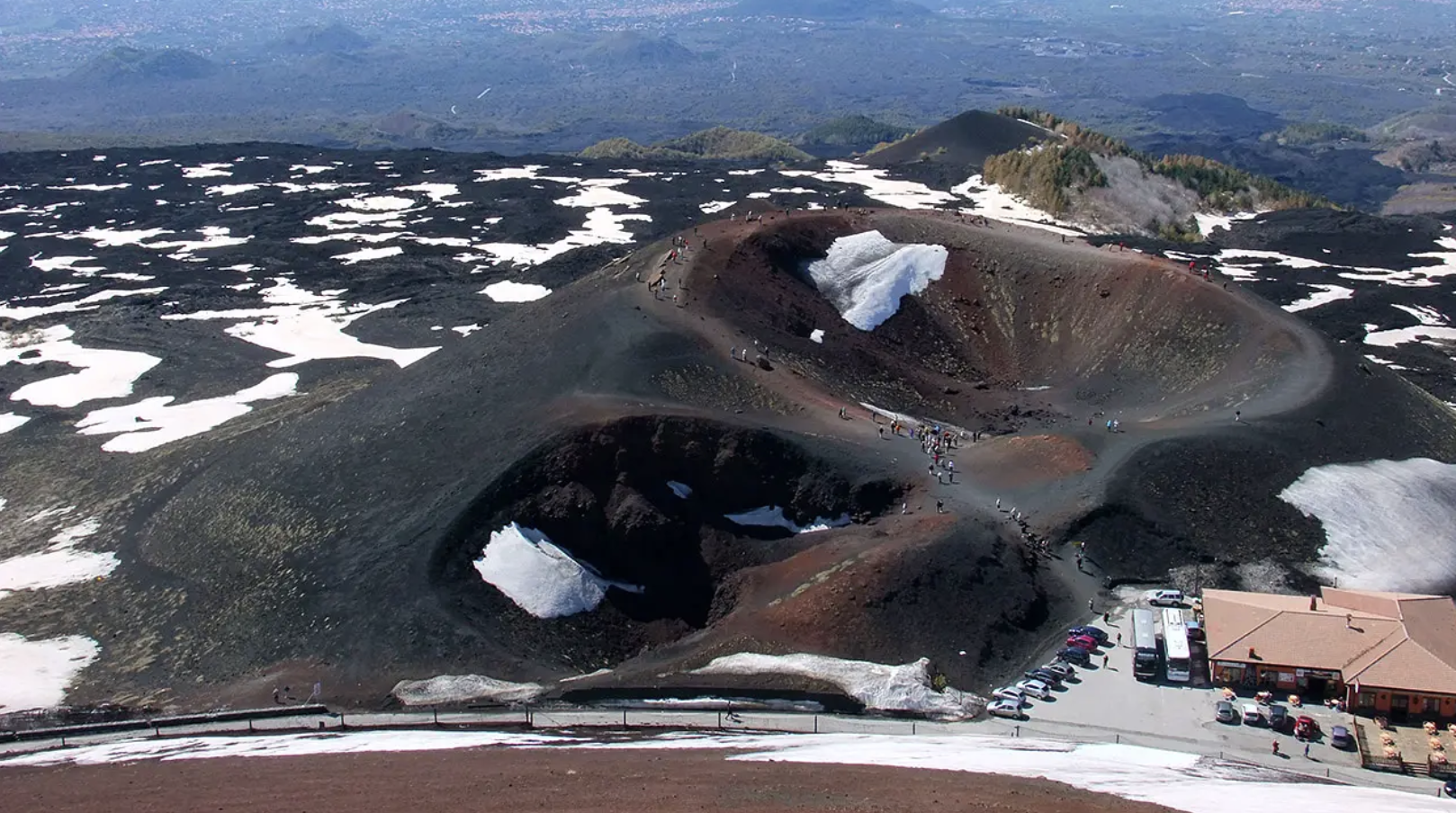
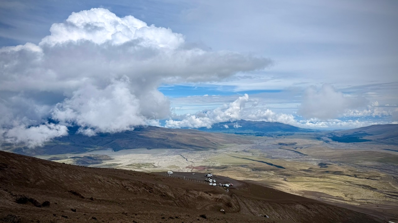
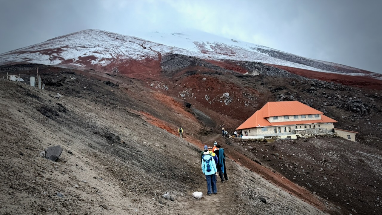
Bus delivered us to Rifugio Sapienza at around 1900m on the more popular south side of the mountain. A bit of a tourist trap. The north trailhead (Piano Provenzana) is better for offers wilder hiking trails and fewer crowds.
From Sapienza you can take a cable car up to 2500m. It’s expensive at €54 return when I was there. And you can hire a 4×4 contraption to pay even more. Guides are required at higher elevations.
I opted to stay close to the Rifugio Sapienza trailhead, saving my money for a summit climb some time in future.
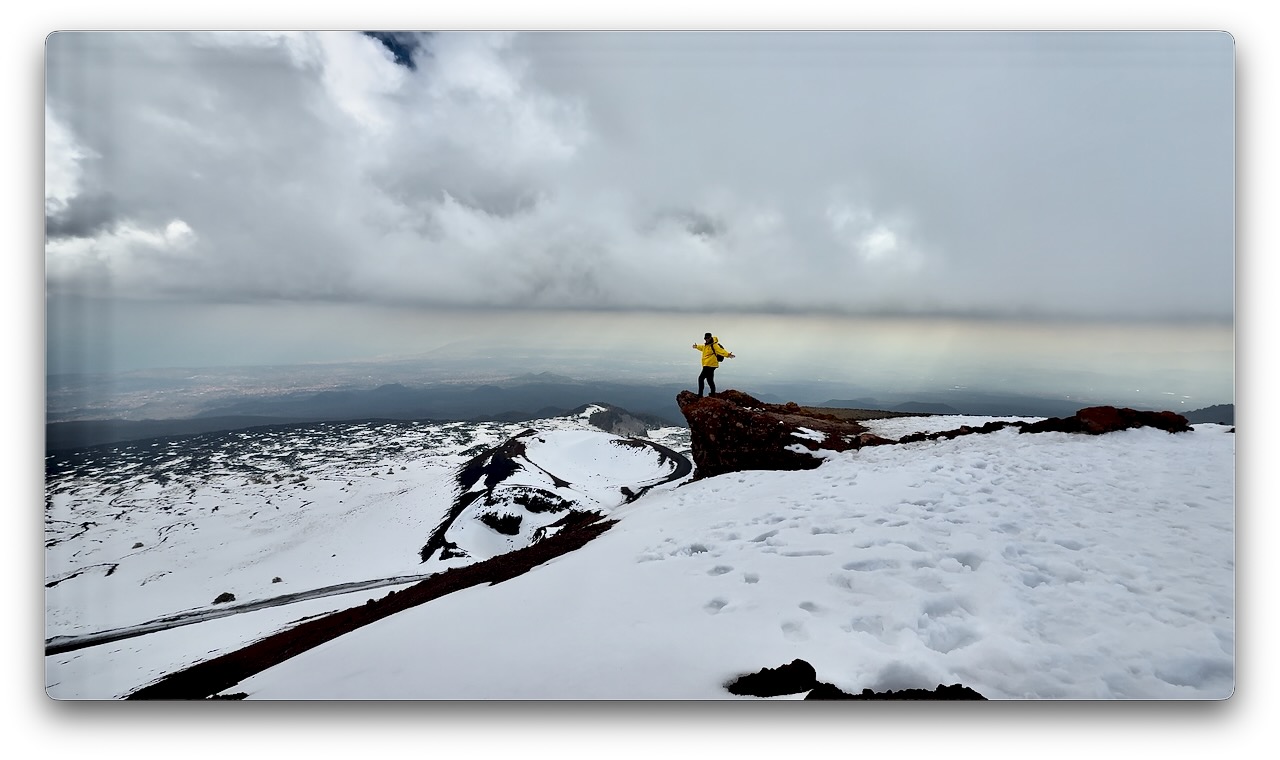
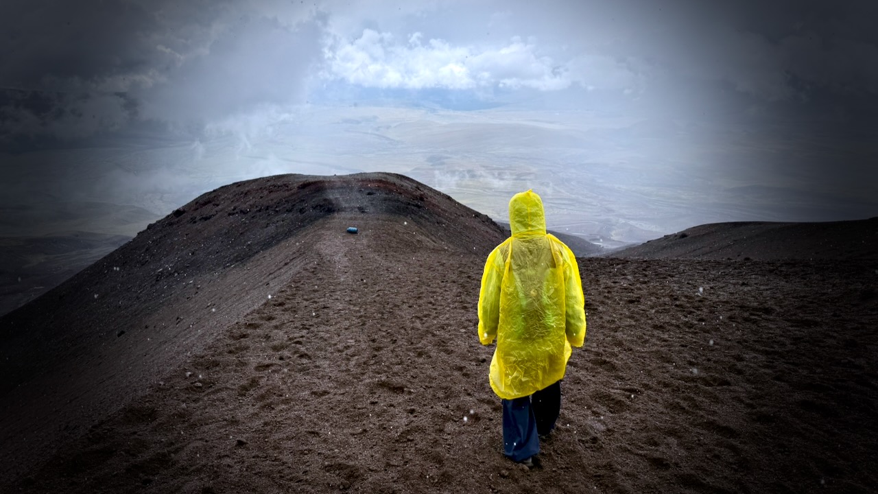
There’s an additional €5entry fee for the Silvestri Craters on the south side. Well worth it. The highlight for me.
It’s only about 1km to circumambulate all 5 craters — but they are scenic.
With an hour left before my bus departed, I climbed the most conspicuous cone.
Driving your own vehicle to Rifugio Sapienza is a good option. And there’s a public bus €6.60 return — but it leaves Catania very early. Returns very late. I assume that service runs mainly for employees.
BUT climbing one of the many alternatives might be better and far less expensive.
Eibhlis Gale-Coleman lays out some of the options:
Mount Kenya
Mount Meru, Tanzania
Mount Ololokwe, Kenya
Mount Ras Dashen, Ethiopia
Mount Ngaliema (Mount Stanley), Uganda
Oldoinyo Lesatima (Mount Satima), Kenya
Mount Ngaliema is no mean feat. Perched in the Rwenzori Mountains National Park, it stands at 16,761 feet (5,109 meters), and is the third-highest peak in Africa. The terrain begins in rainforest and ends with a glacier traverse that necessitates crampons: Arrive expecting a pole-assisted trudge, and you’ll be overwhelmed. …
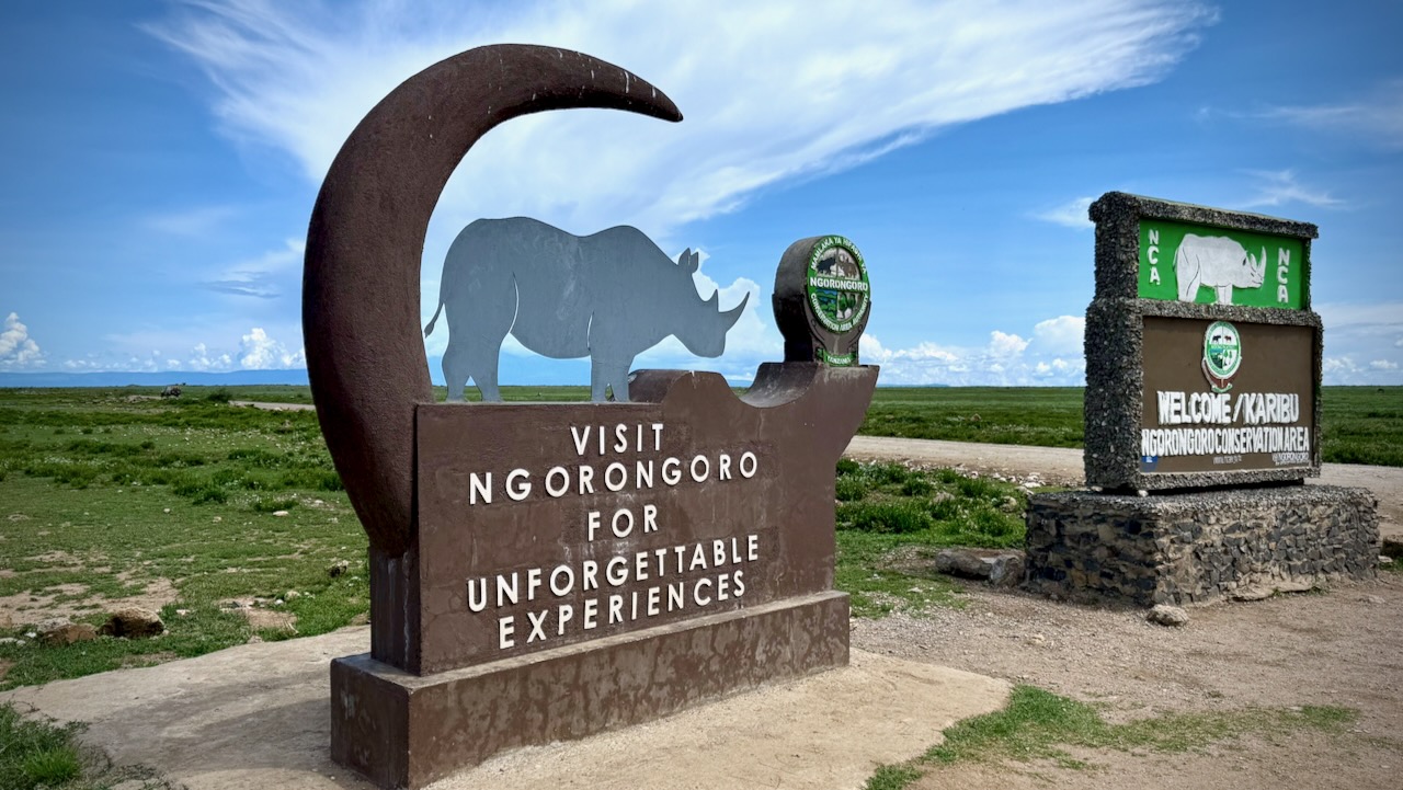
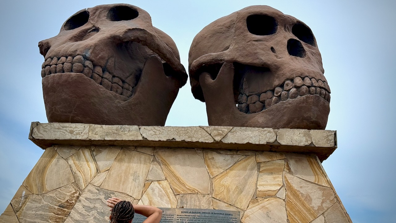
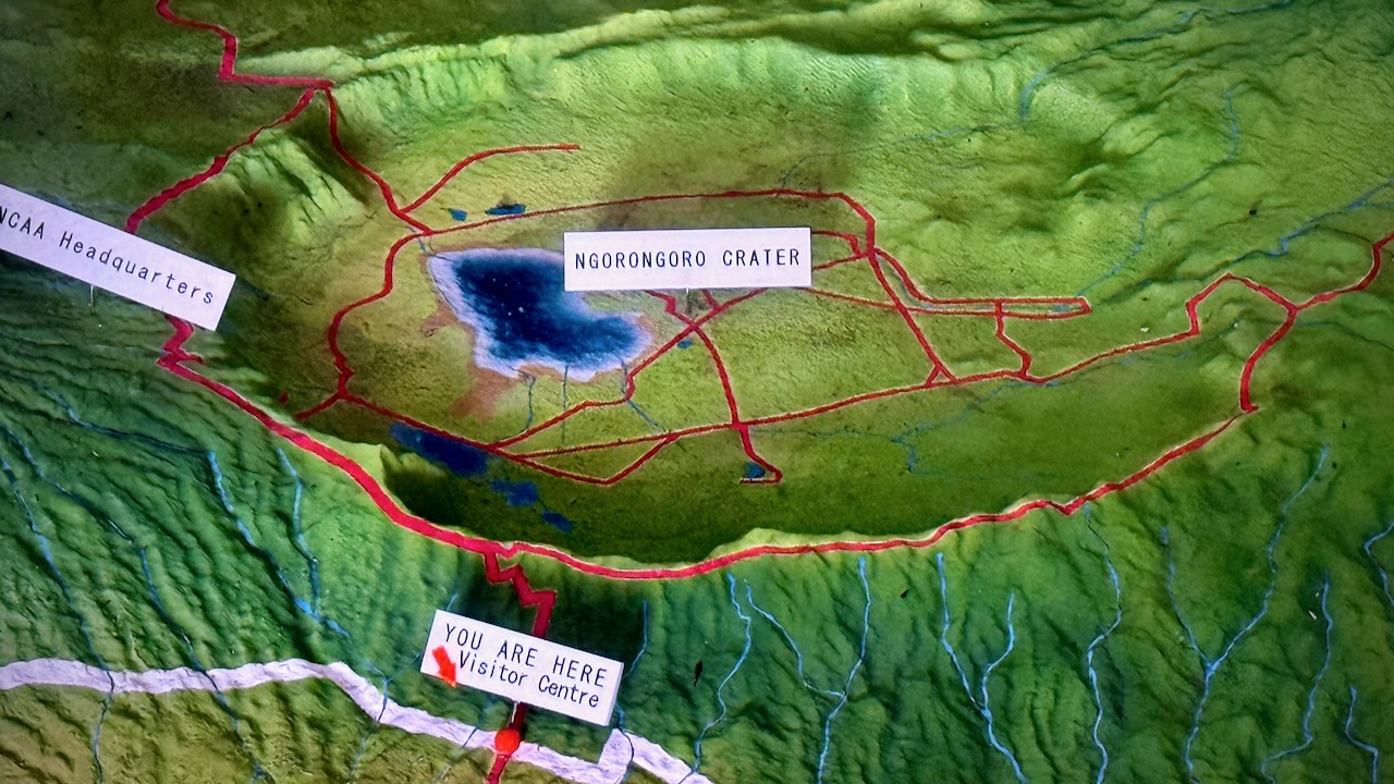
This is where Mary Leakey worked for decades. Olduvai Gorge. Hominin fossils more than 3.75 million years old.
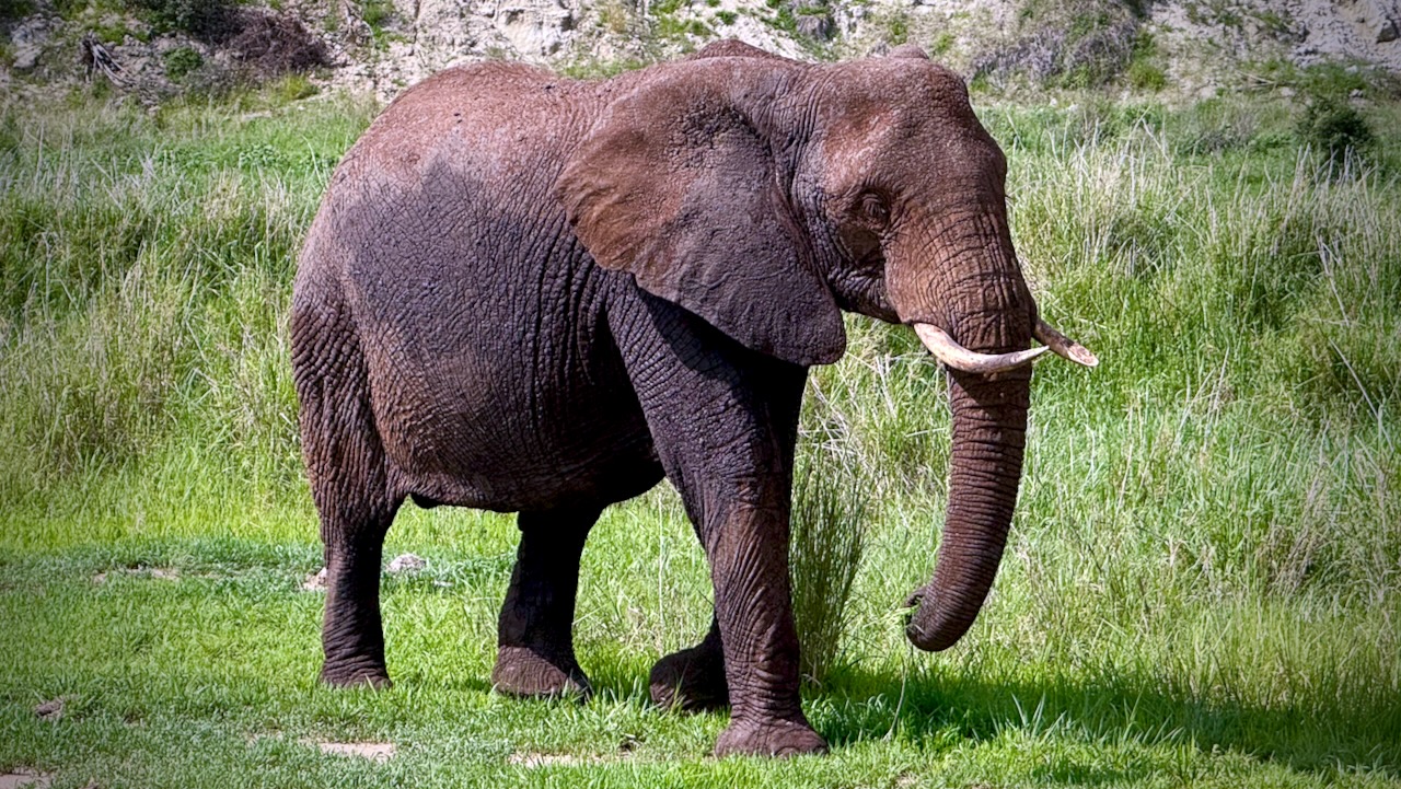
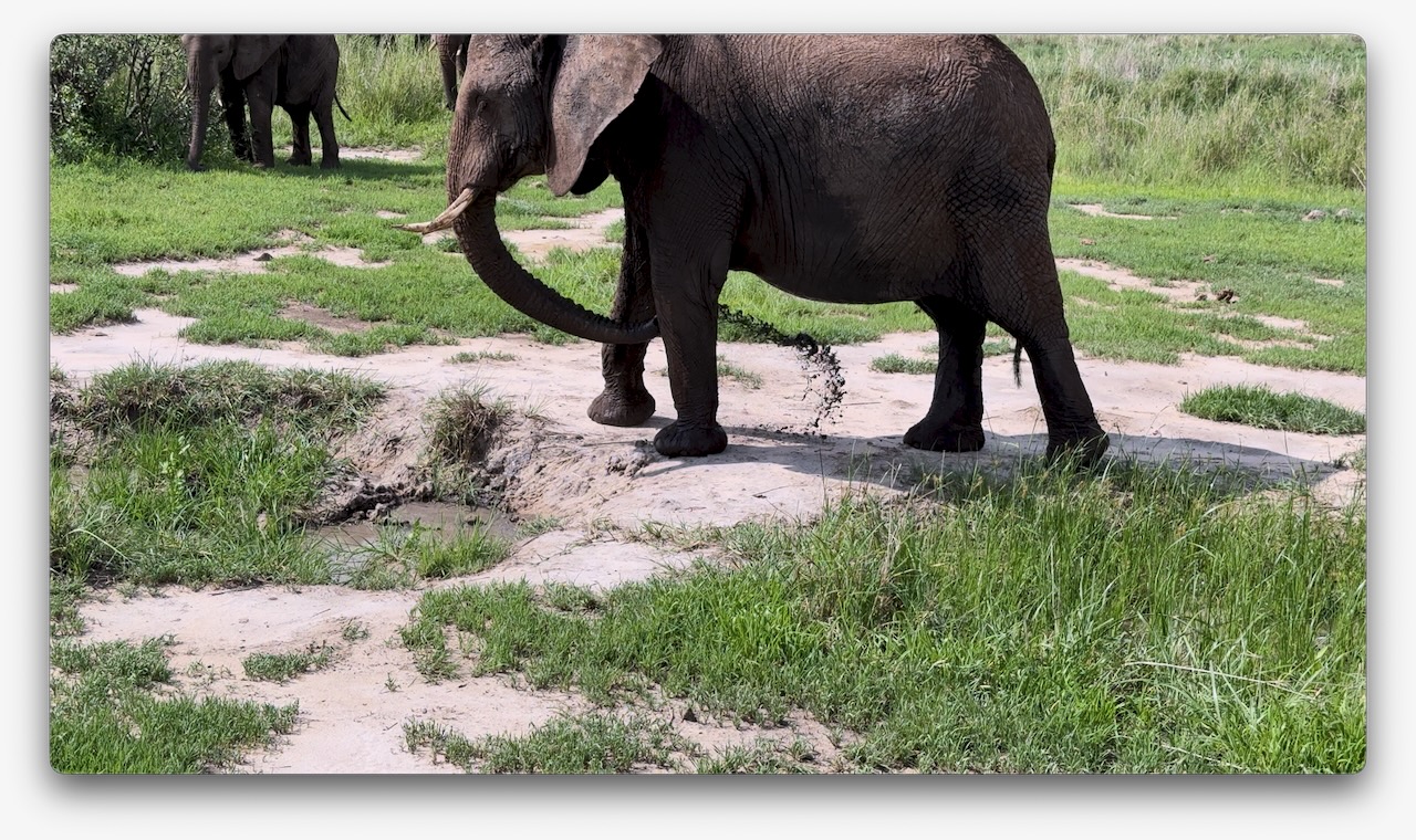
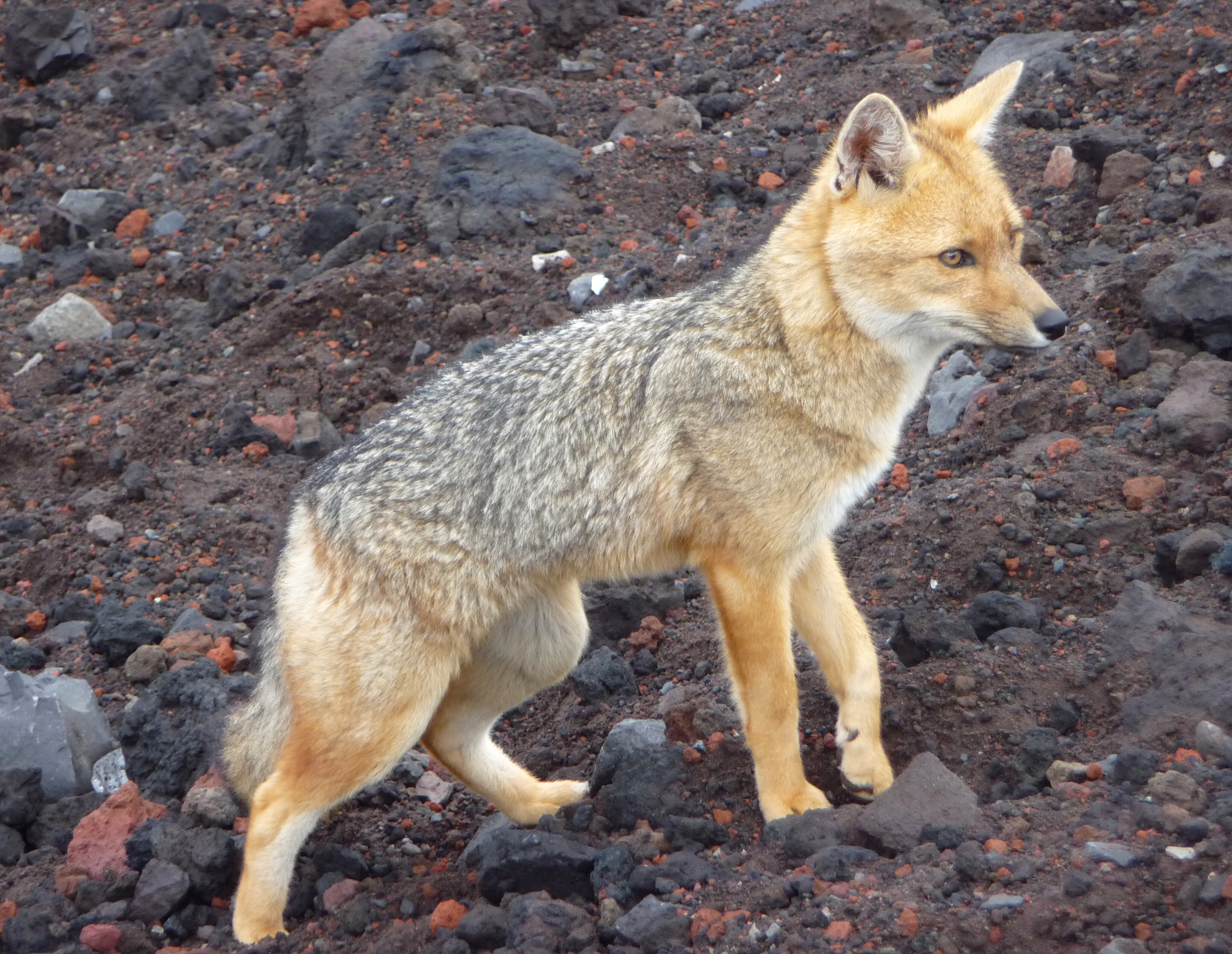
The Maasai still live in the highlands here, though they are no longer in the caldera nor in the National Parks. Maasai herds can be as impressive as the wild animals.
Kids as young as age-4 are sometimes given responsibility to watch them.
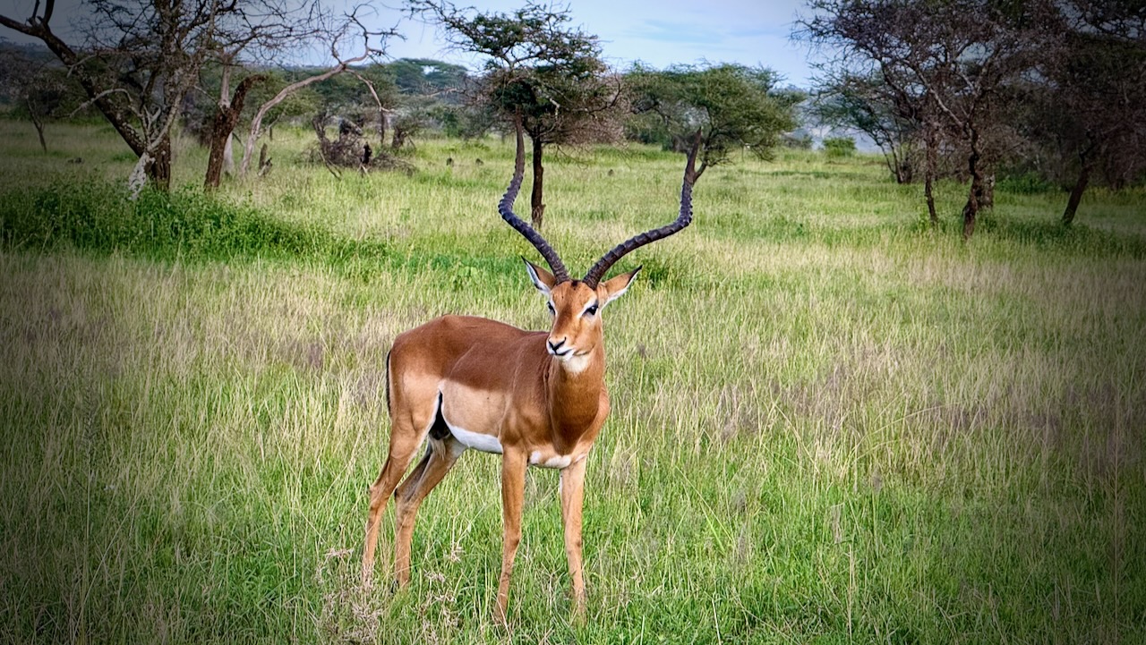
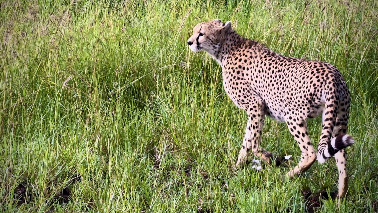
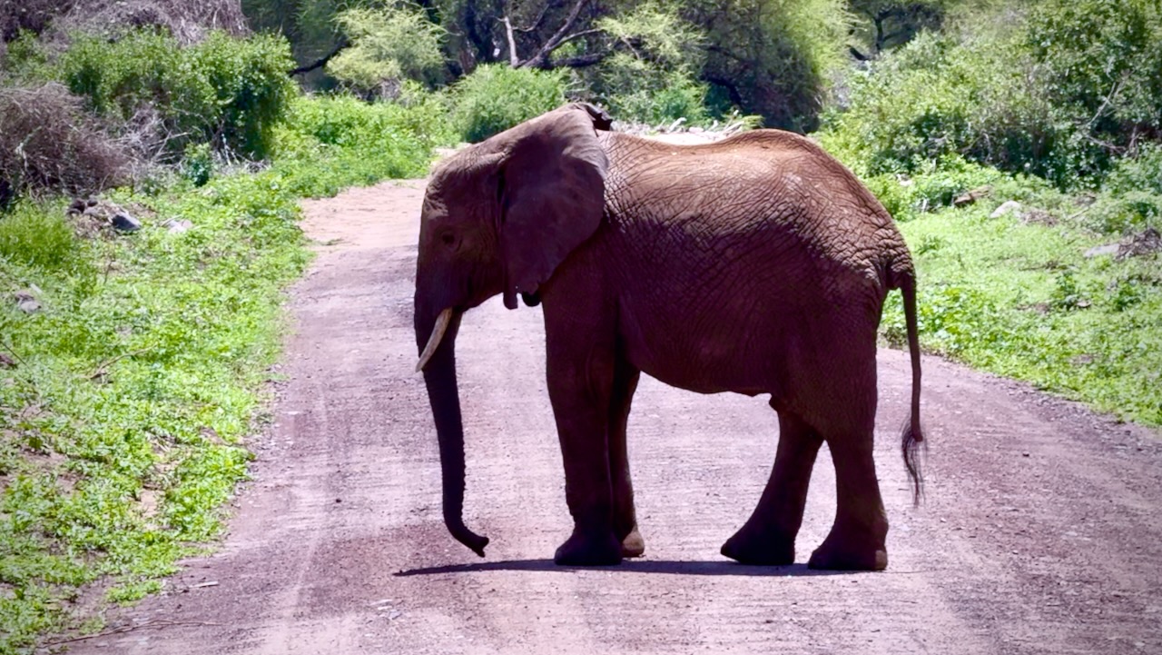
I hadn’t realized how many Impala and similar antelopes roam these grasslands.
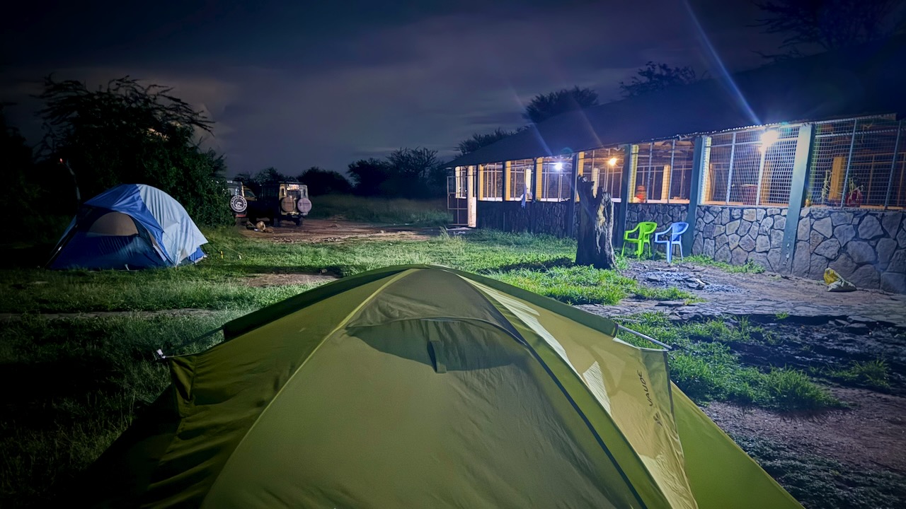
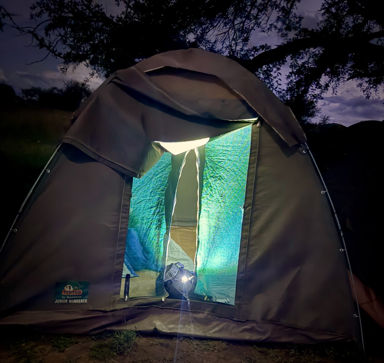
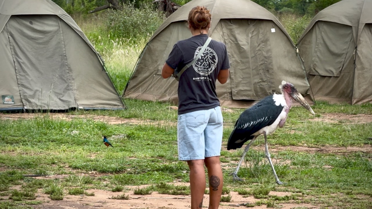
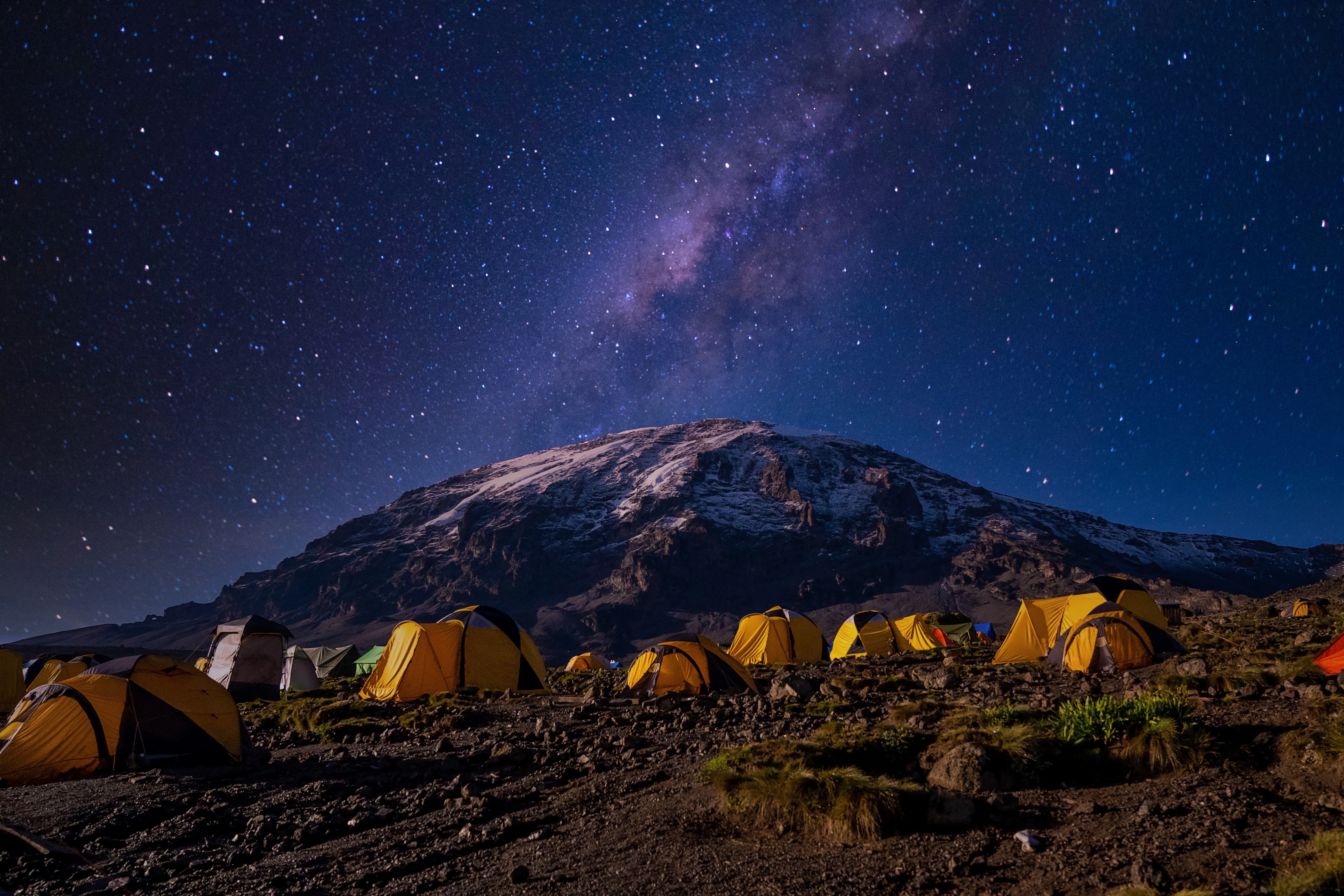
We camped in Serengeti.
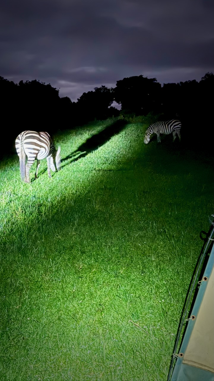
Simple canvas tents. I used my own sleeping bag and air mattress.
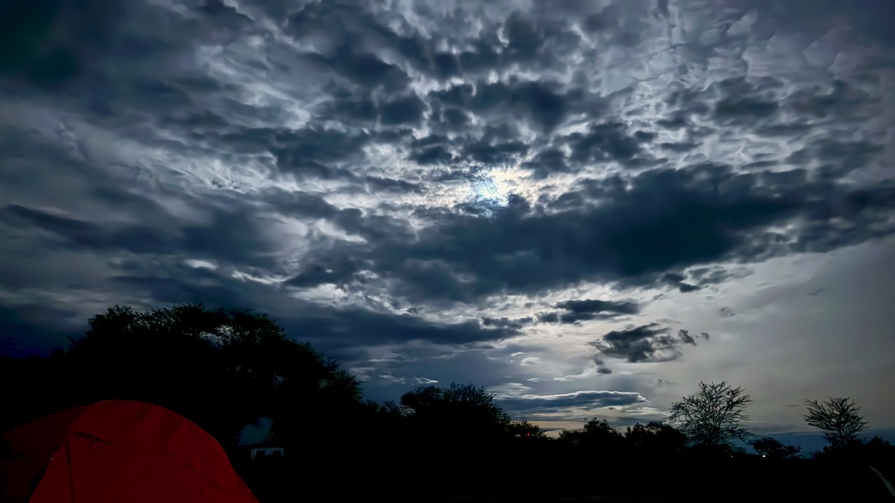
During a 2am pee break, here’s how the sky looked to my iPhone 16 Pro.
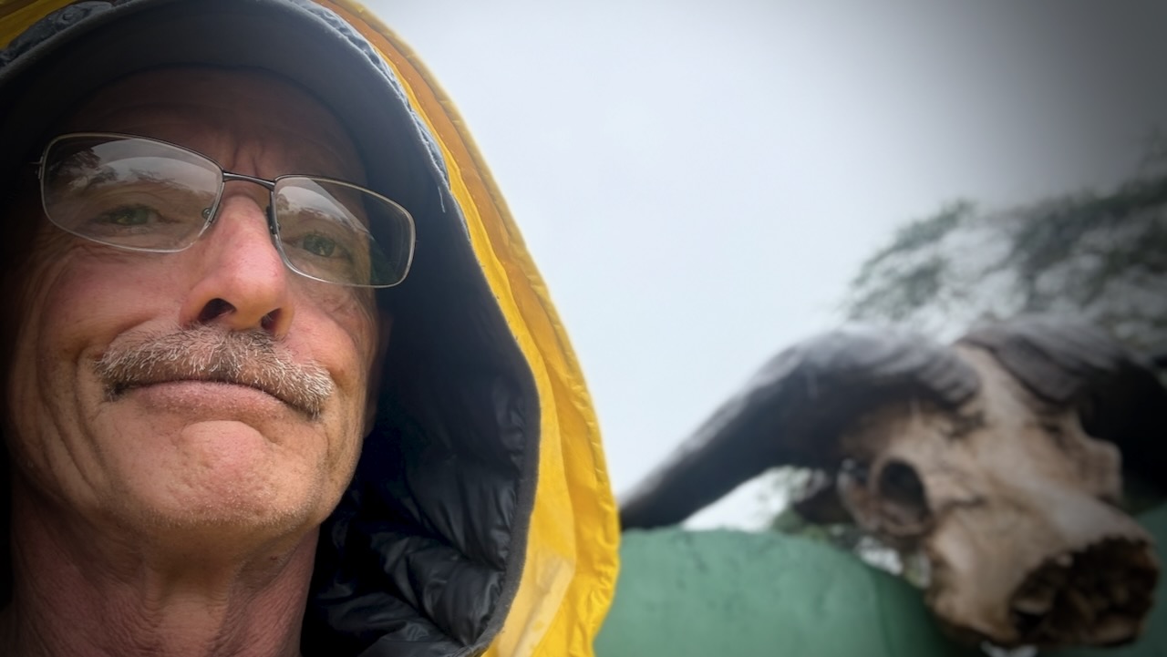
We awoke to heavy rain. It seems the “long rains” from March to May have just begun.
Early start dropping down into the crater.
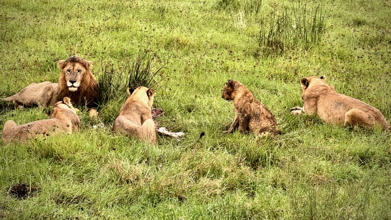
Predators were still working on their kills from the previous night. It seems young zebra are the dinner of choice for most.
These hyenas were almost finished with their kill. A jackal was sneaking in to get quick bites, when it could.
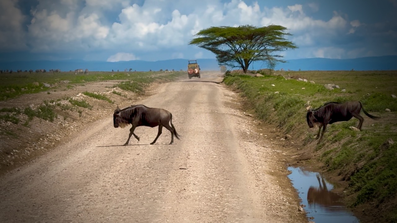
Why did the Wildebeest cross the road.
Animals migrate for grazing and water sources. Predators follow.
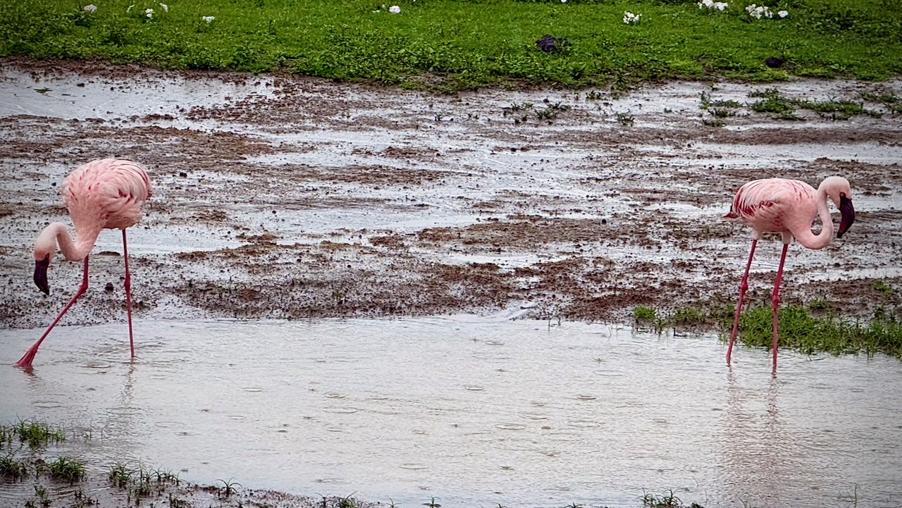
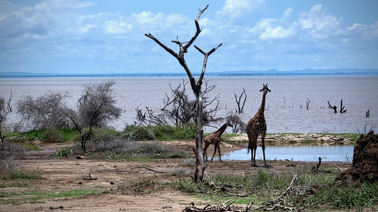
There was plenty of water in the crater while we were there. Flamingos a highlight.
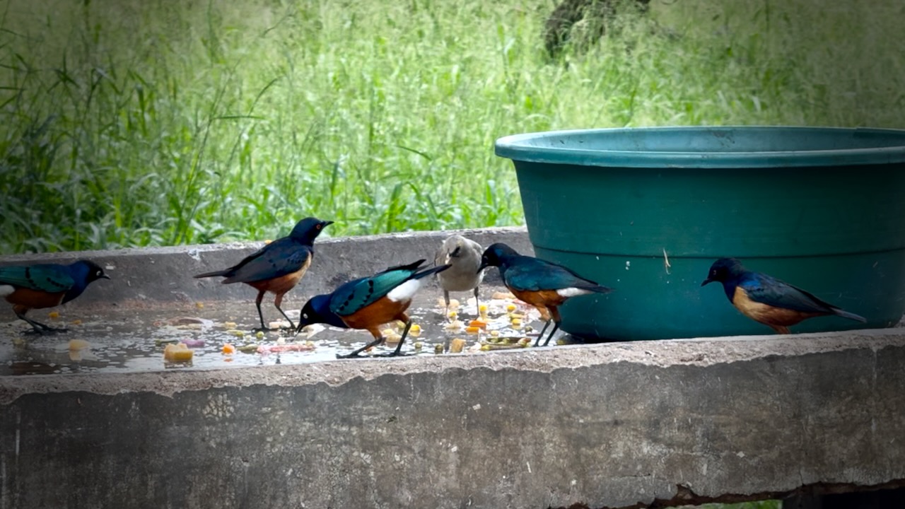
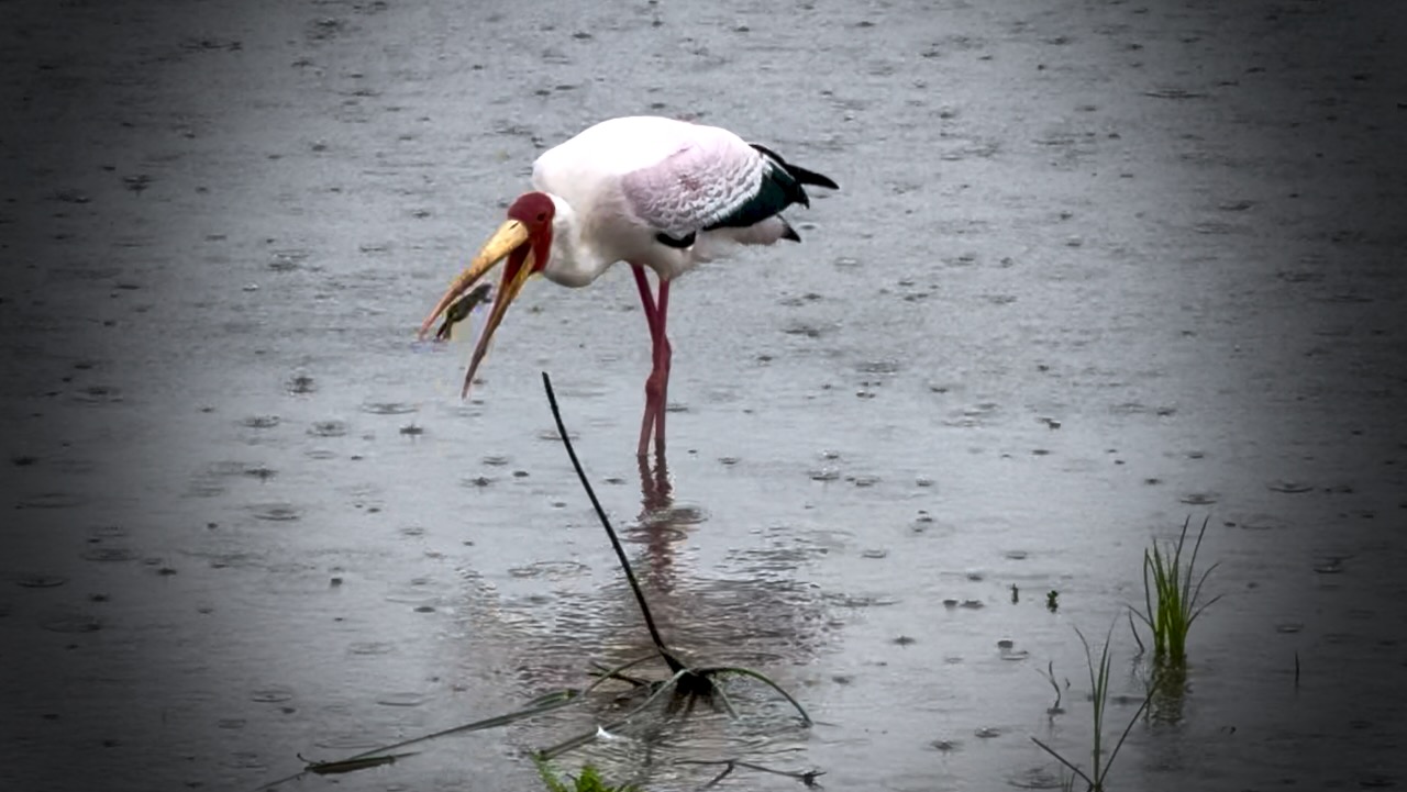
Water birds of all species eat well here.
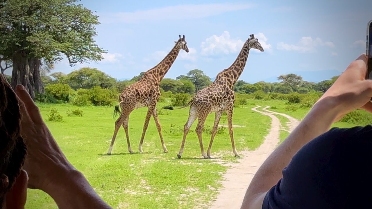
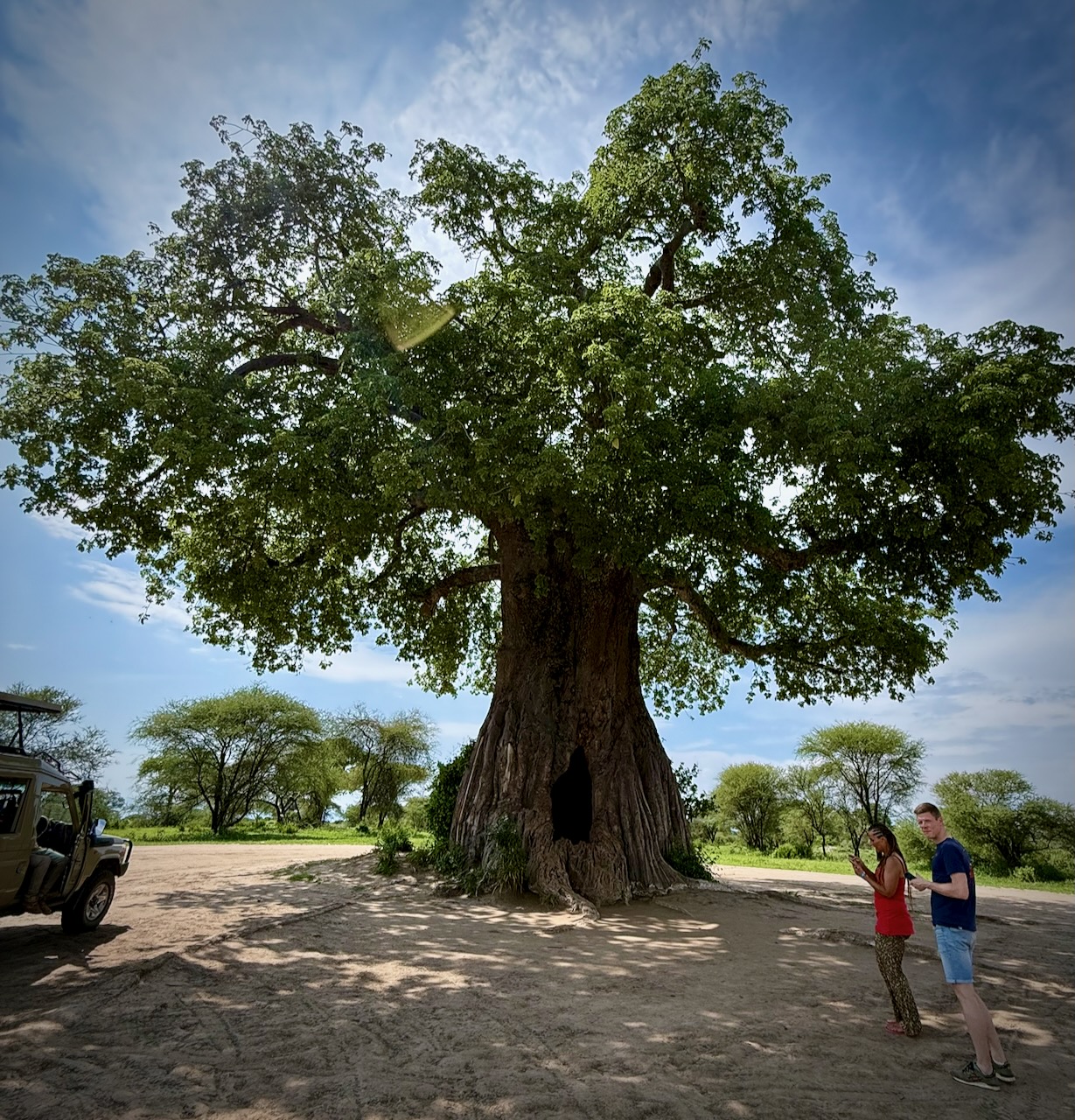
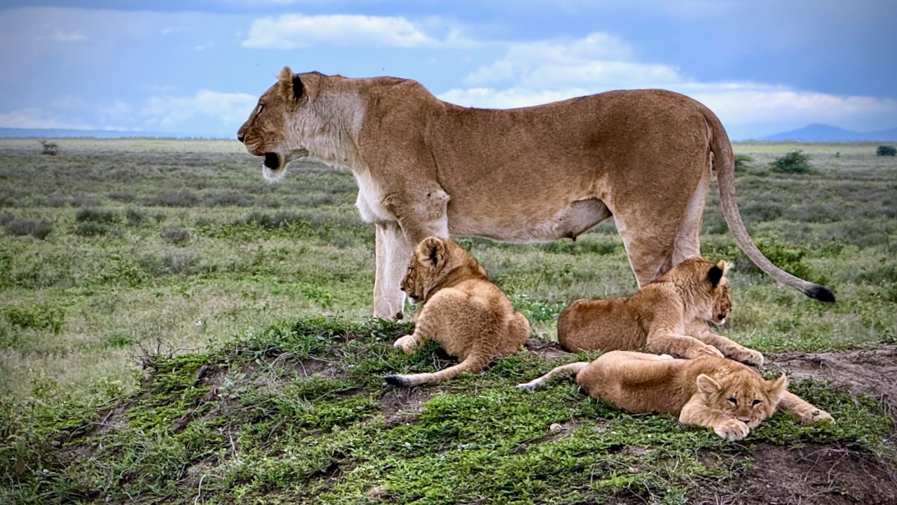
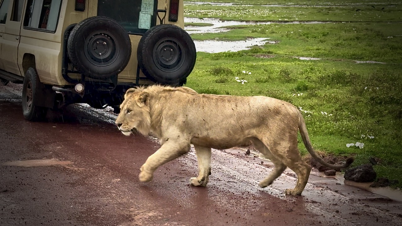
Everyone enjoys the safari experience.
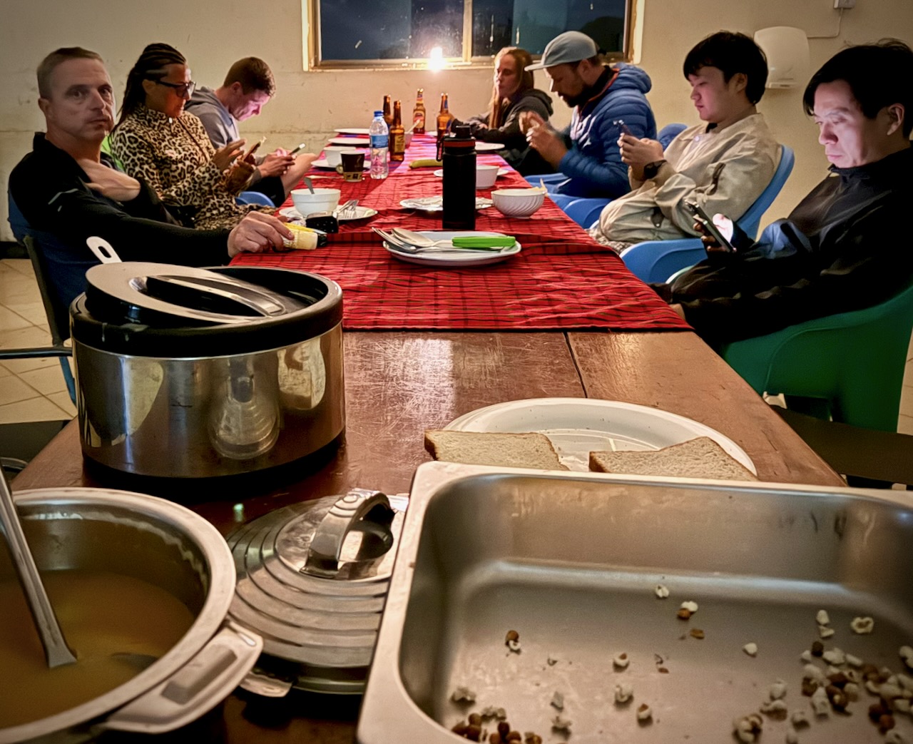
Needing to drop off 2 of our group of 5, we drove all the way back to the Mosquito River hotel. This means I actually spent 2 of the 4 nights in a comfortable hotel, even though I’d signed up for camping. 😀
Last day we had only 2 of our original five signed on for the 5th day.
Manyara was better than expected. A small, well-maintained park alongside a muddy Lake.
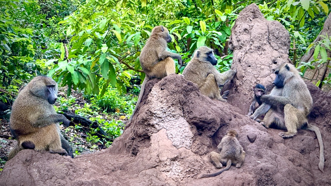
We’d not seen many baboons nor monkeys over the previous 4 days. Made up for it here. We saw thousands of entertaining baboons playing, fighting, chasing, grooming.
Plenty of Blue monkeys. And Blackface (Vervet) monkeys, as well. The different species seem to cooperate well.
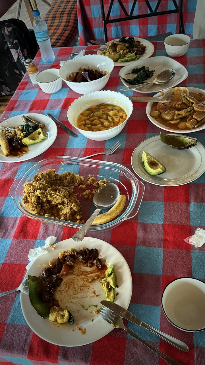
Back to the hotel for one last lunch from Tony.
His best yet.
And then the 3 hour drive back to Arusha. Our safari ended.
TIPS
It’s confusing to decide on which company to go with. Certainly you’ll be in the same Toyota LandCruiser, on the same bumpy roads, seeing exactly the same animals with most.
The only one that caught my eye for the camping option is Suricata Safaris.
Prices go way up from $200 / day depending on where you sleep each night. Luxury lodges are available. Budget about 10% for tips. And about 10% for unexpected charges.
Private bookings are more expensive, as well.
Though I did 5 days, 4 nights — optimal, I’m thinking, is 4 days, 3 nights. You’ll probably miss Lake Manyara National Park if you do this.
My iPhone 16 Pro was perfect for climbing Kilimanjaro. But it’s a frustrating, crappy option for safari. I constantly wanted more optical zoom. Bring an excellent camera on a short tripod, if you can. Also binoculars.
My only other safari was Addo Elephant Park, South Africa, in 2013. Excellent. My guide provided a checklist of animals and birds we might see ➙ and it was super fun to fill that checklist during the day. I wished I had something similar here.
Power failures are a near daily occurrence in Tanzania. Bring power banks to recharge your electronic devices.
Wifi is slow and inconsistent here. Best get phone data which works quite well.
Many tourists are over-charged. Some cheated. We had a driver for a day who claimed I had shortchanged him $40. I hadn’t. But rather than argue I gave him an extra $20 — and reported to his employer.
Worst story I heard in person was a tourist landing in Zanzibar at 3am who was stopped by two supposed police. They took his passport. Two hours later he bribed them $200 to get his passport back.
Most of the worst stories I heard were in Zanzibar.
BEST is to have transportation from airports arranged in advance with your accommodation.
Second best is to download the ride sharing Bolt app. It worked well for me.
Arguing with taxi drivers is the worst option.
Intercity buses can be OK — but driving is slow in East Africa. Short flights a better option.
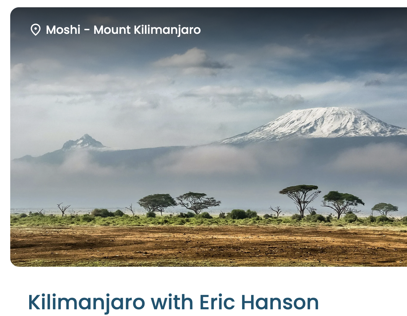
Eric is one of the top hiking YouTubers. He’ll be documenting our trip in coming weeks.
In the meantime, I’m posting some photos here.
We had 22 hikers. 18 of us made both summits. That’s about typical for the Machame Route. It went well for me. My 3 weeks training & acclimatizing in Ecuador prior to this trip was a good idea.
Kili Summit Ridge
Age & fitness matter much less than the ability to acclimatize to altitude.
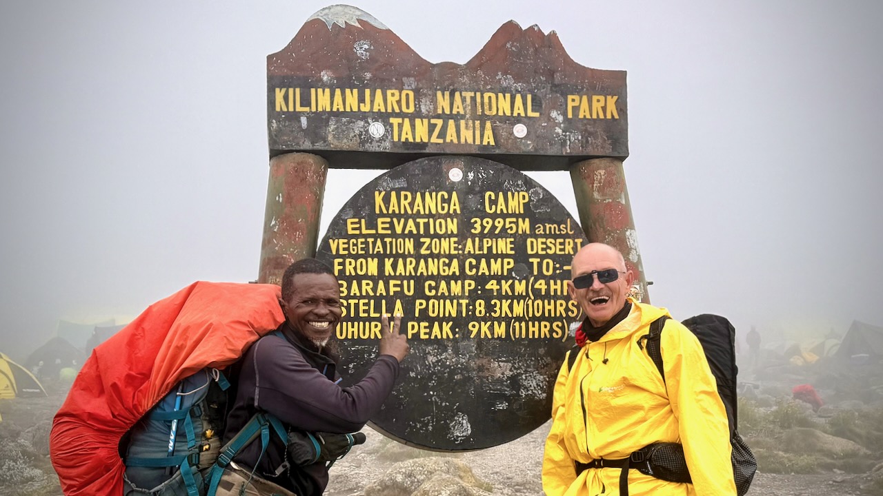
It took me 68-years to finally get to Kilimanjaro. The eldest my African guide got to the summit was 79.
We had another in our group age-66.
Truly impressive is one of our assistant guides who’s been to the summit over 200 times over 31 years. He’s age 64.
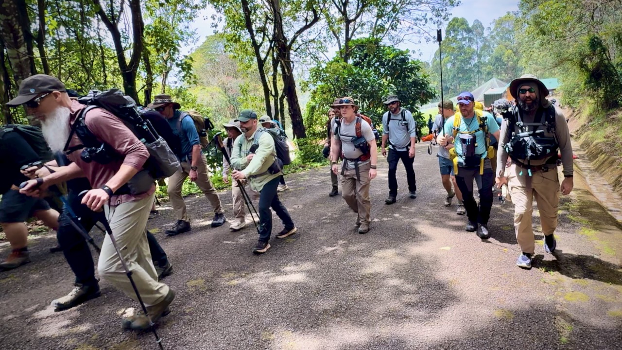
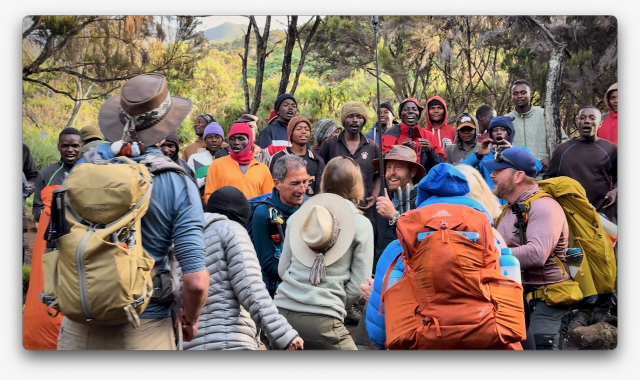
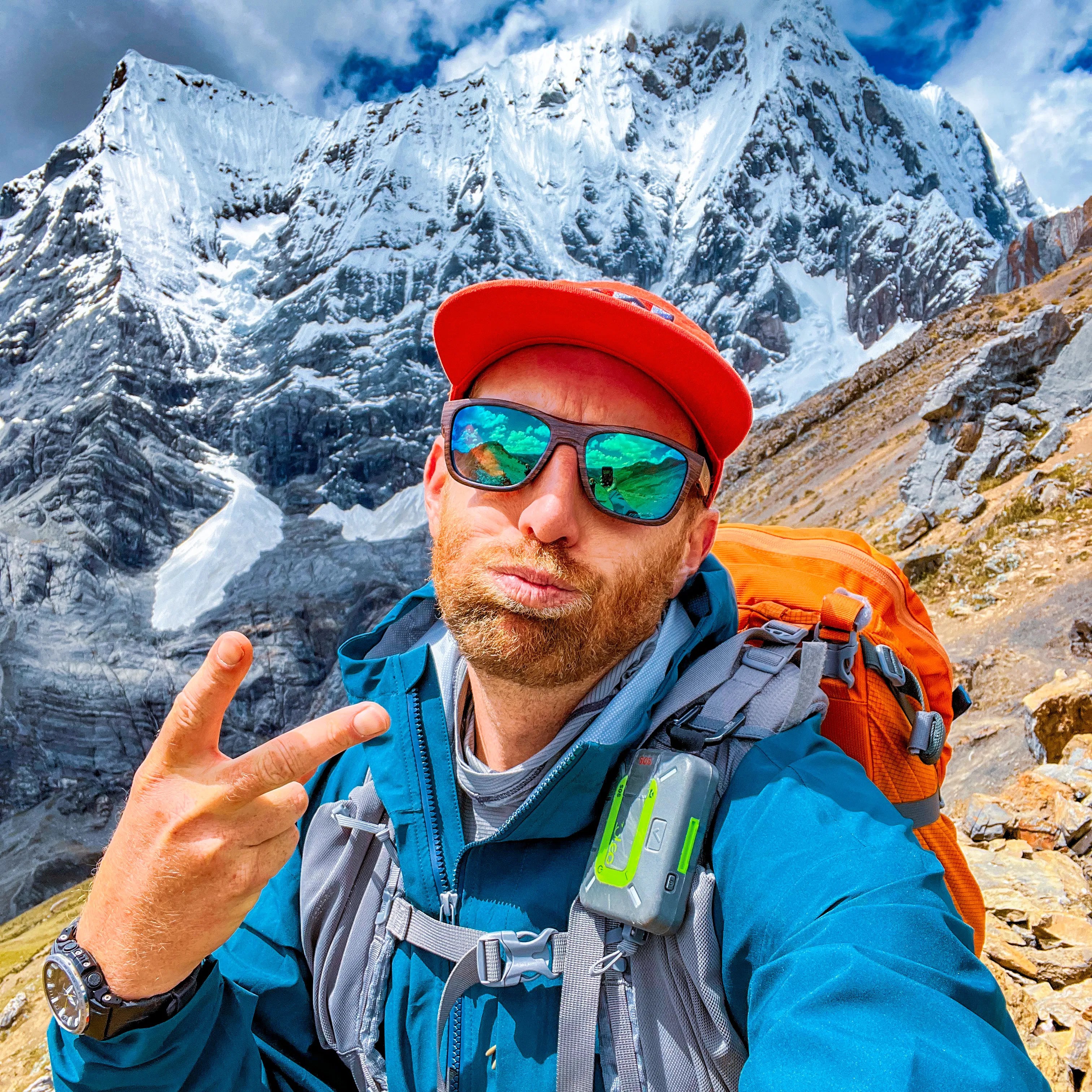
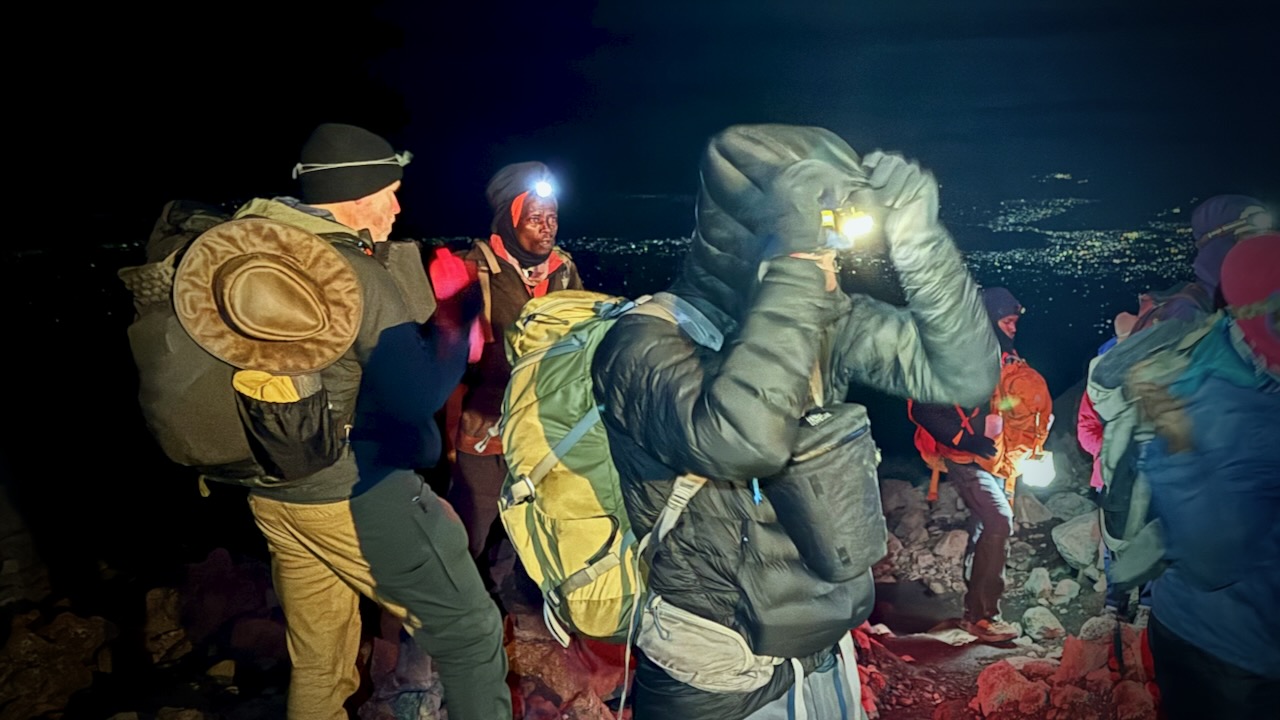
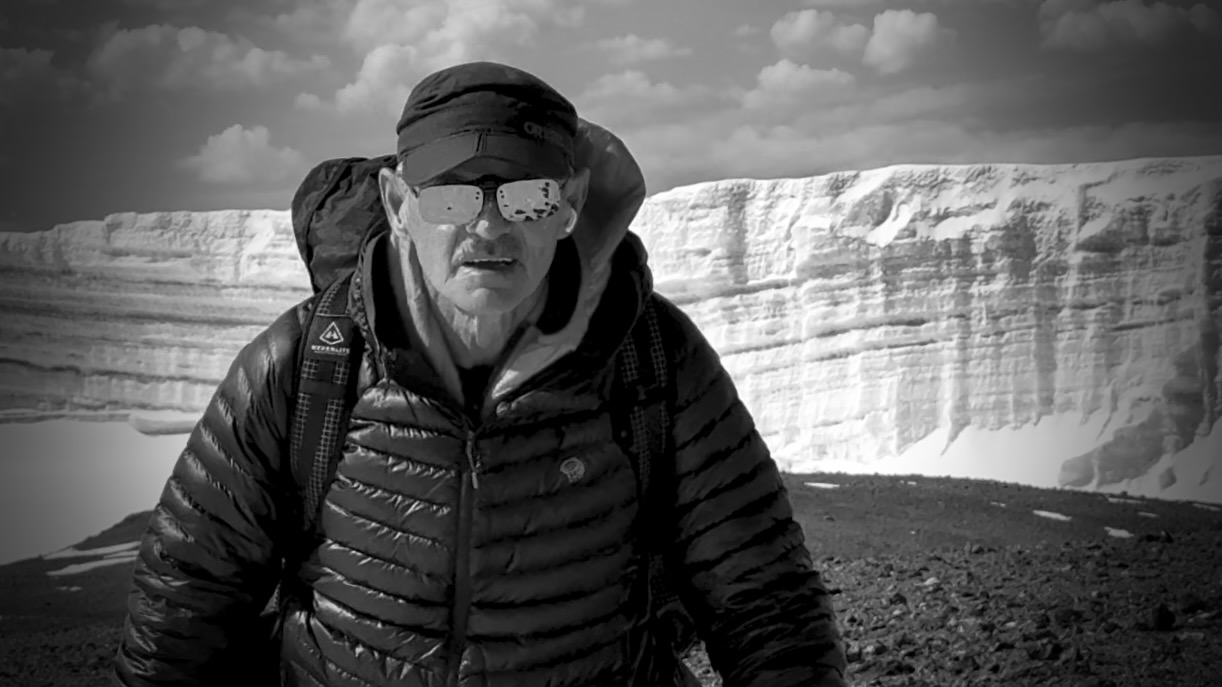
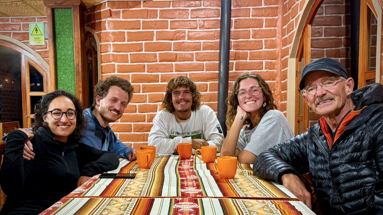
Here we are — clean & keen — at the start of the 7 day adventure.
In fact, it was a party from the start as many who had hiked with Eric in the past joined for Kili. I was simply an addition to a large group, many who knew one another. This is a very social adventure ➙ shared suffering.
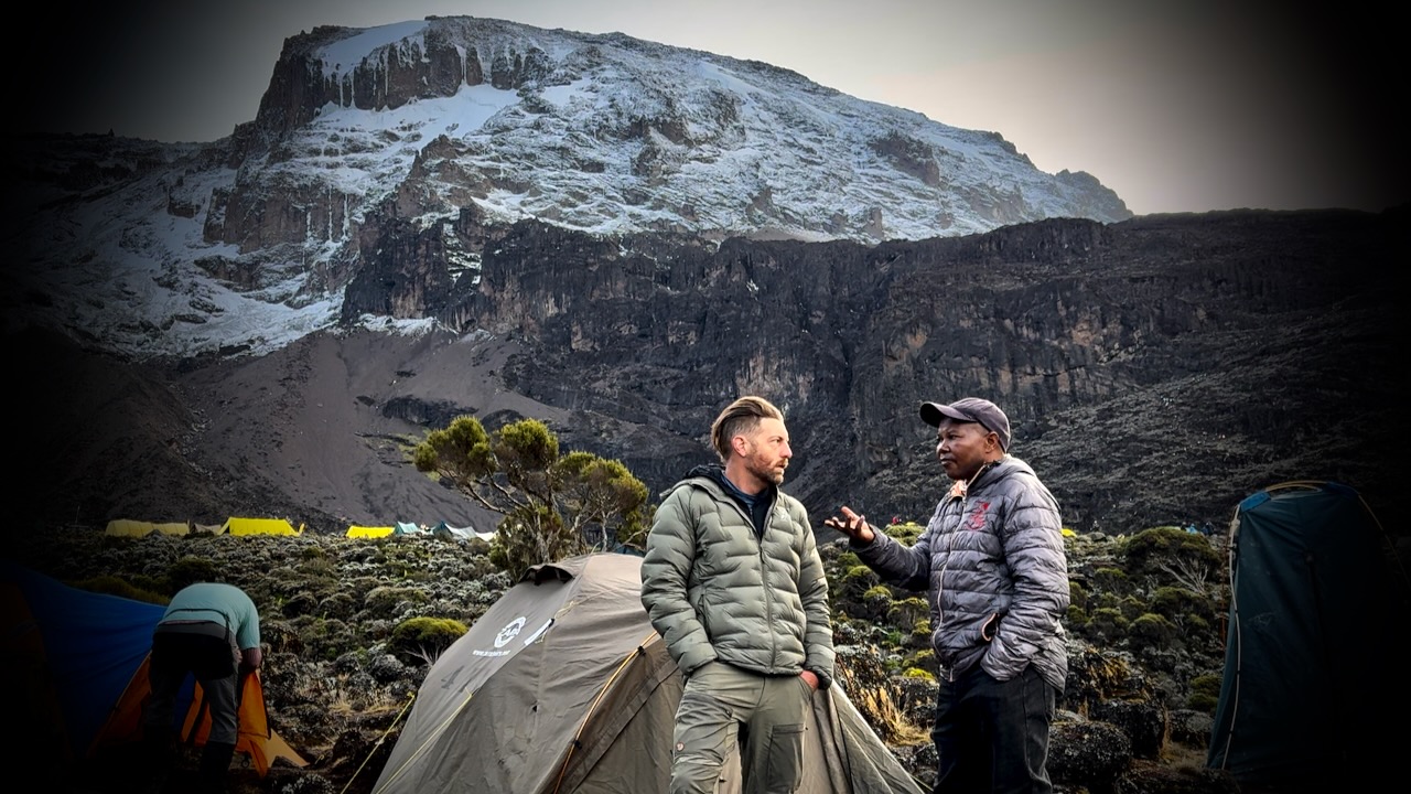
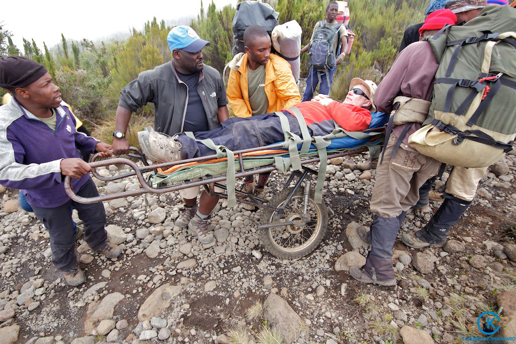
Eric was our American guide. Freddy our African guide. Both responsible for keeping us safe. It was these two who’d make the decision whether or not you were healthy enough to keep climbing.
Those who decided to go down were unable to acclimatize quickly enough. We had daily blood oxygen tests.
Three decided to walk out. One took a helicopter, hoping she will recoup the $4100 cost through insurance.
New to me on a trail was the singing and dancing. Non-stop. To the top.
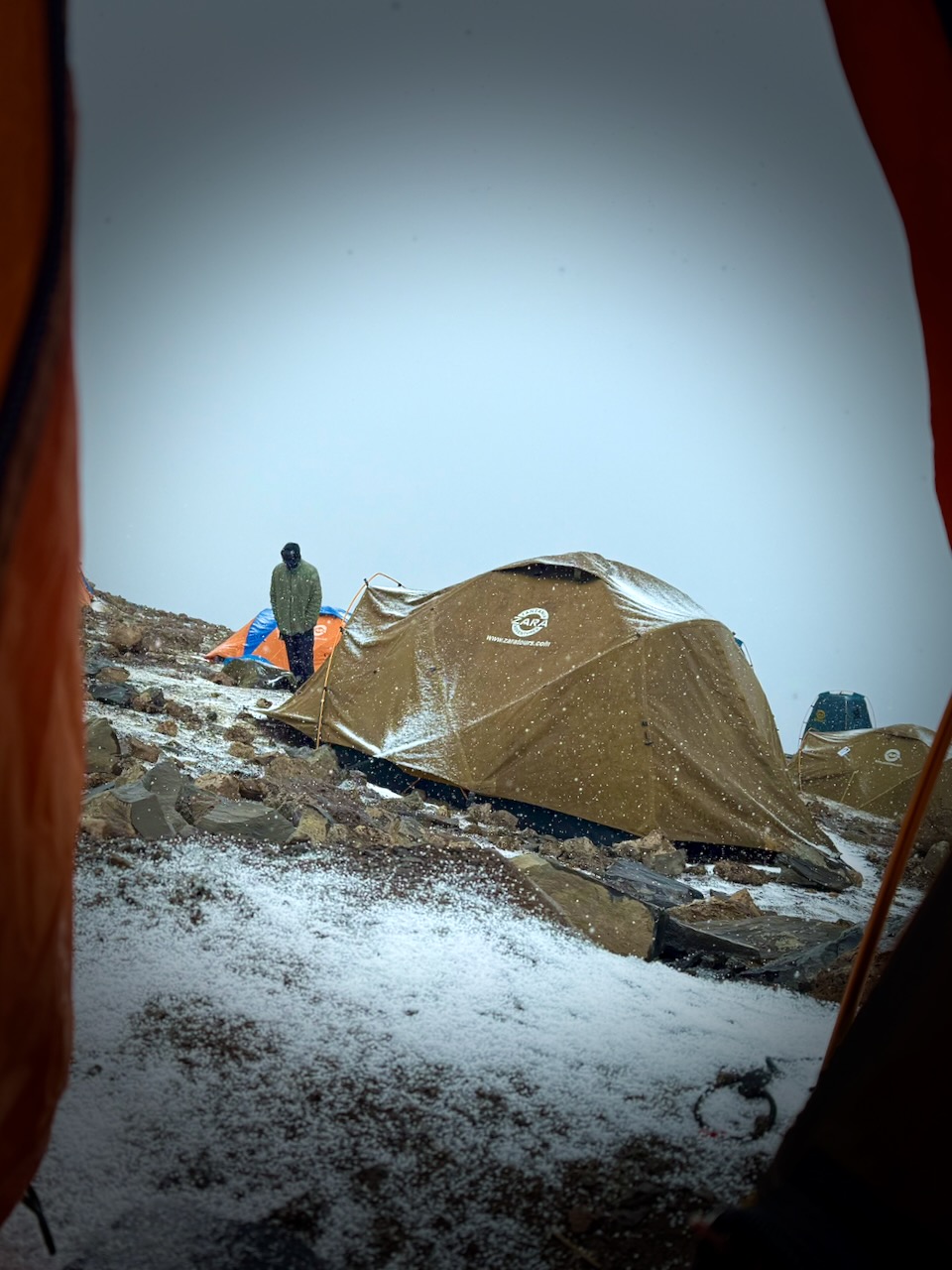
Oddly, all 7 days we had the same weather. Some sort of micro-climate.
Morning clear. Sunny to start the hiking day. Snow, sleet, and hail in the early afternoon. Clearing by dinner time. Clear skies at night. Kili summit clear at dawn.
We added and removed layers non-stop during the day.
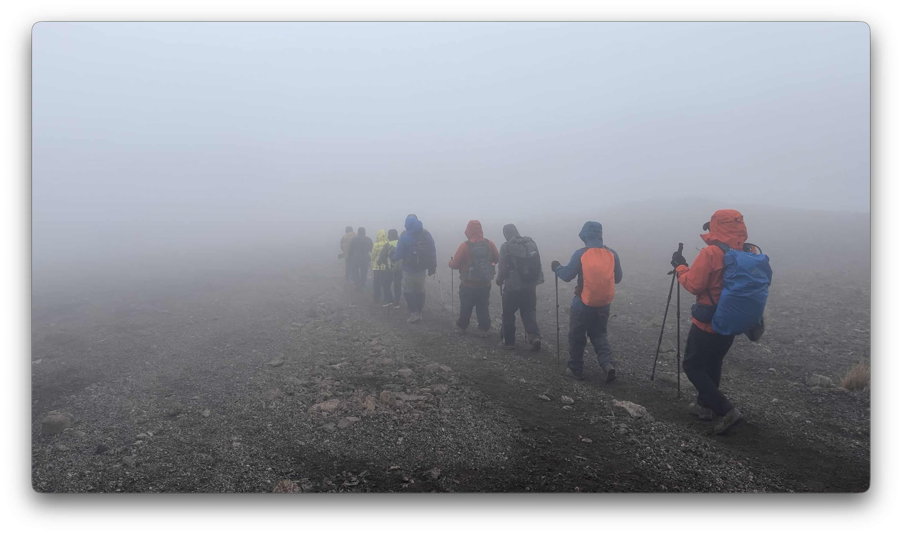
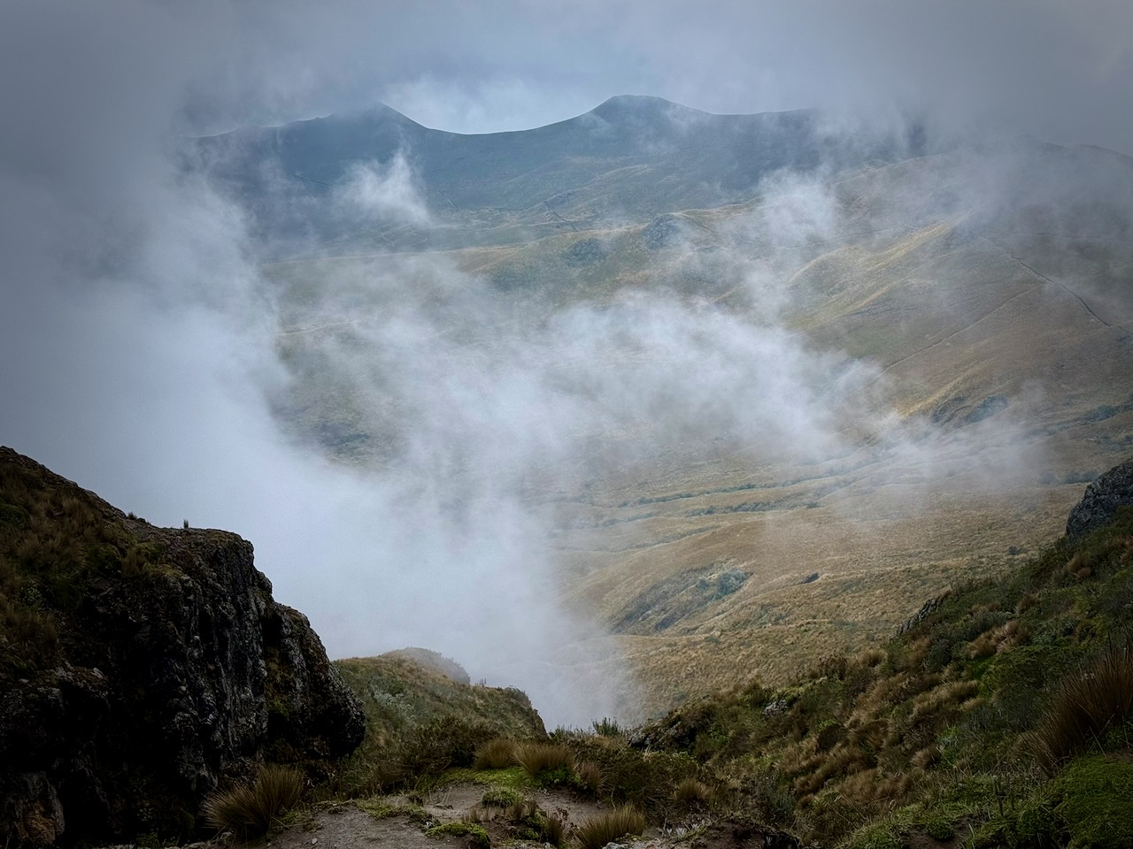
Each day we spent some time hiking through clouds.
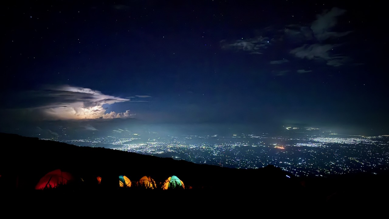
We mostly had clear skies at night. The iPhone 16 Pro is terrific at night photography on a tripod.
I’d paid a little extra to have a tent to myself. It was fairly comfortable — though many of our tent sites were far from level. 😀
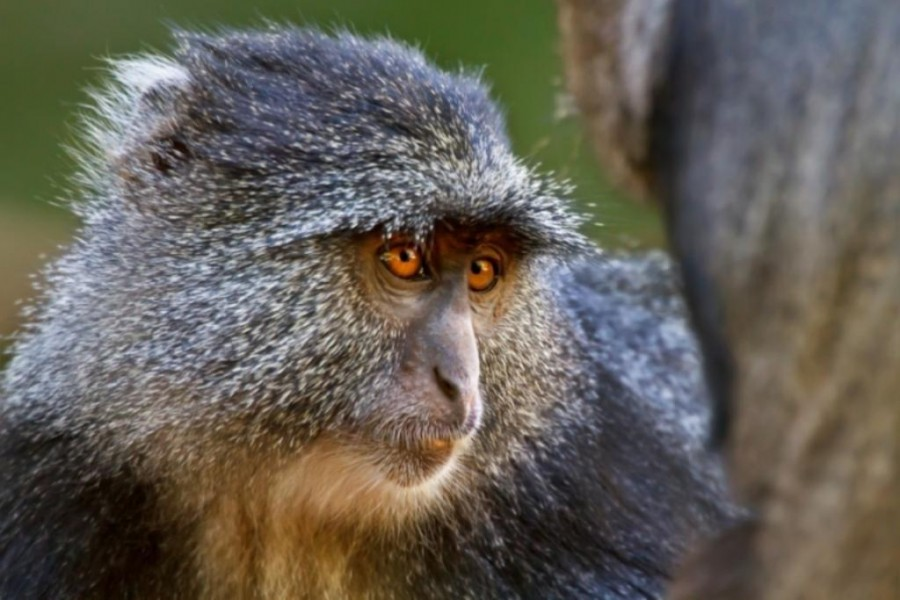
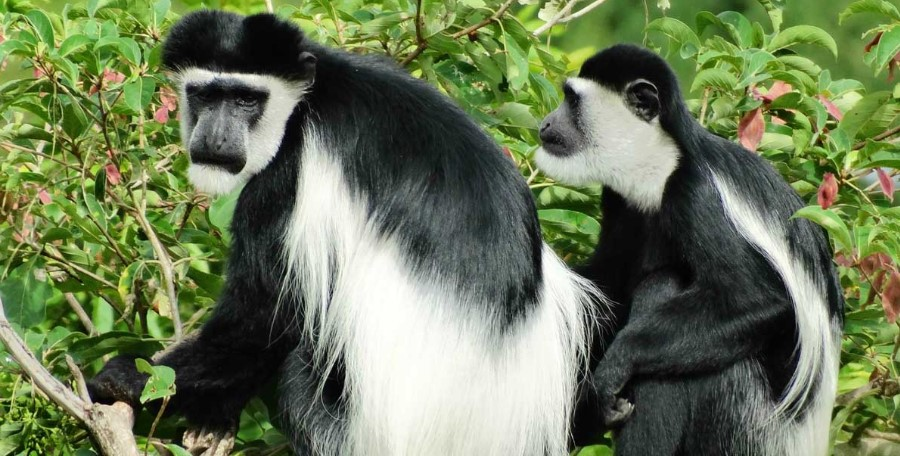
We were happy to see two kinds of monkeys. But both were at lower slopes, close to the start and finishing gates.
Blue Monkey.Black-and-white Colobus.
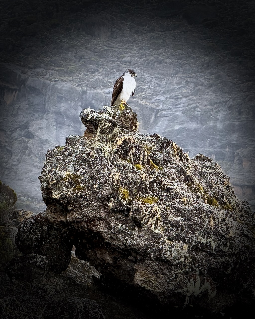
Baboons and velvet monkeys have been spotted, but rarely.
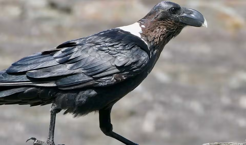
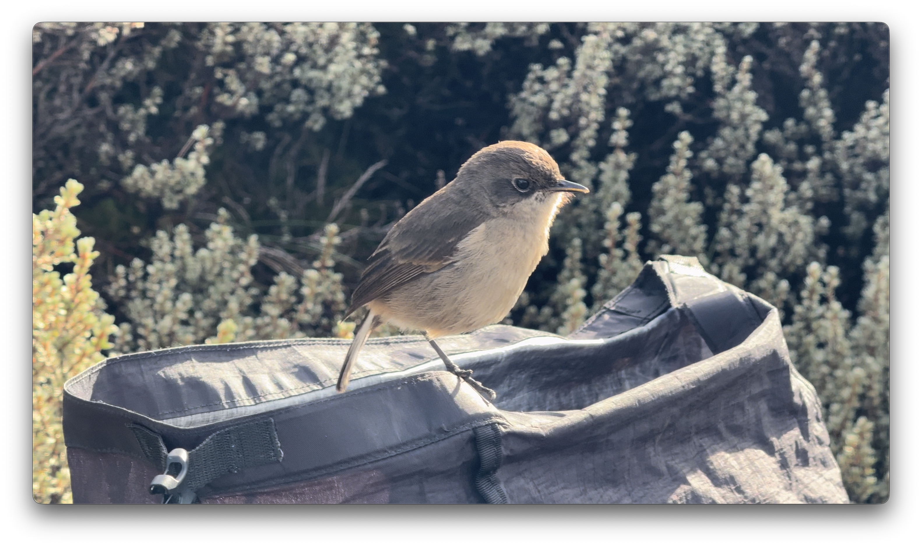
This bird took a dump in my backpack. 😀
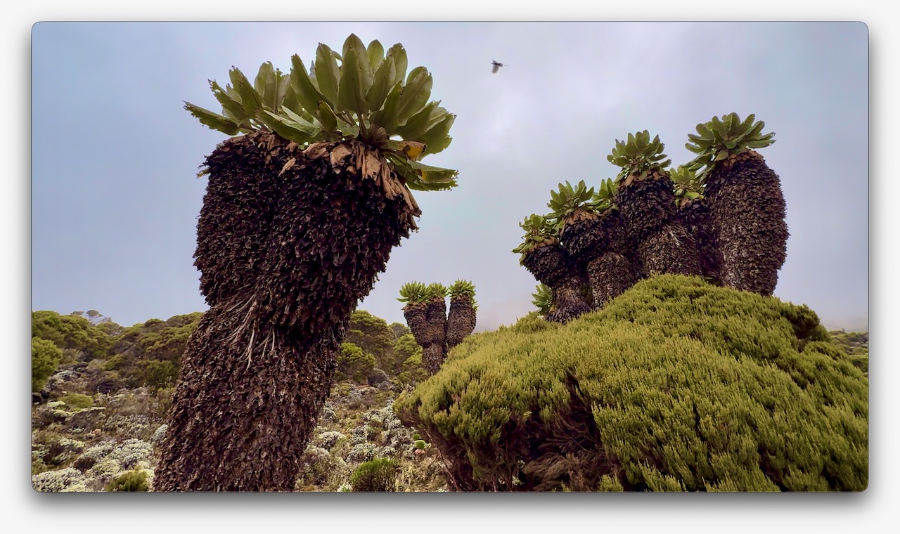
Vegetation was much more interesting as we climbed through so many different ecological zones.
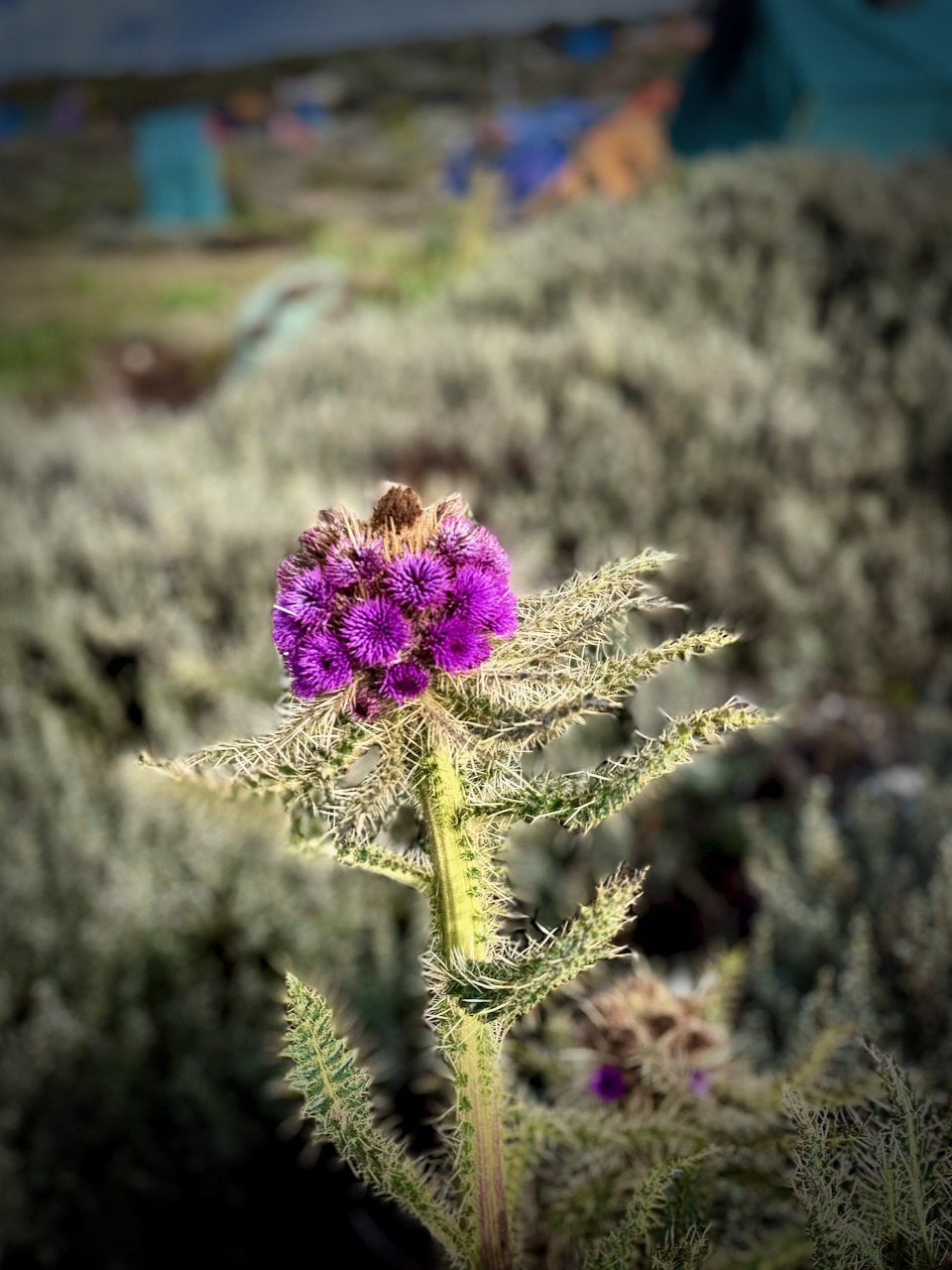
I do love thistles.
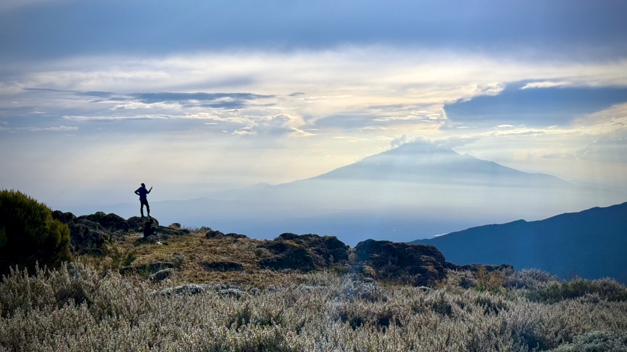
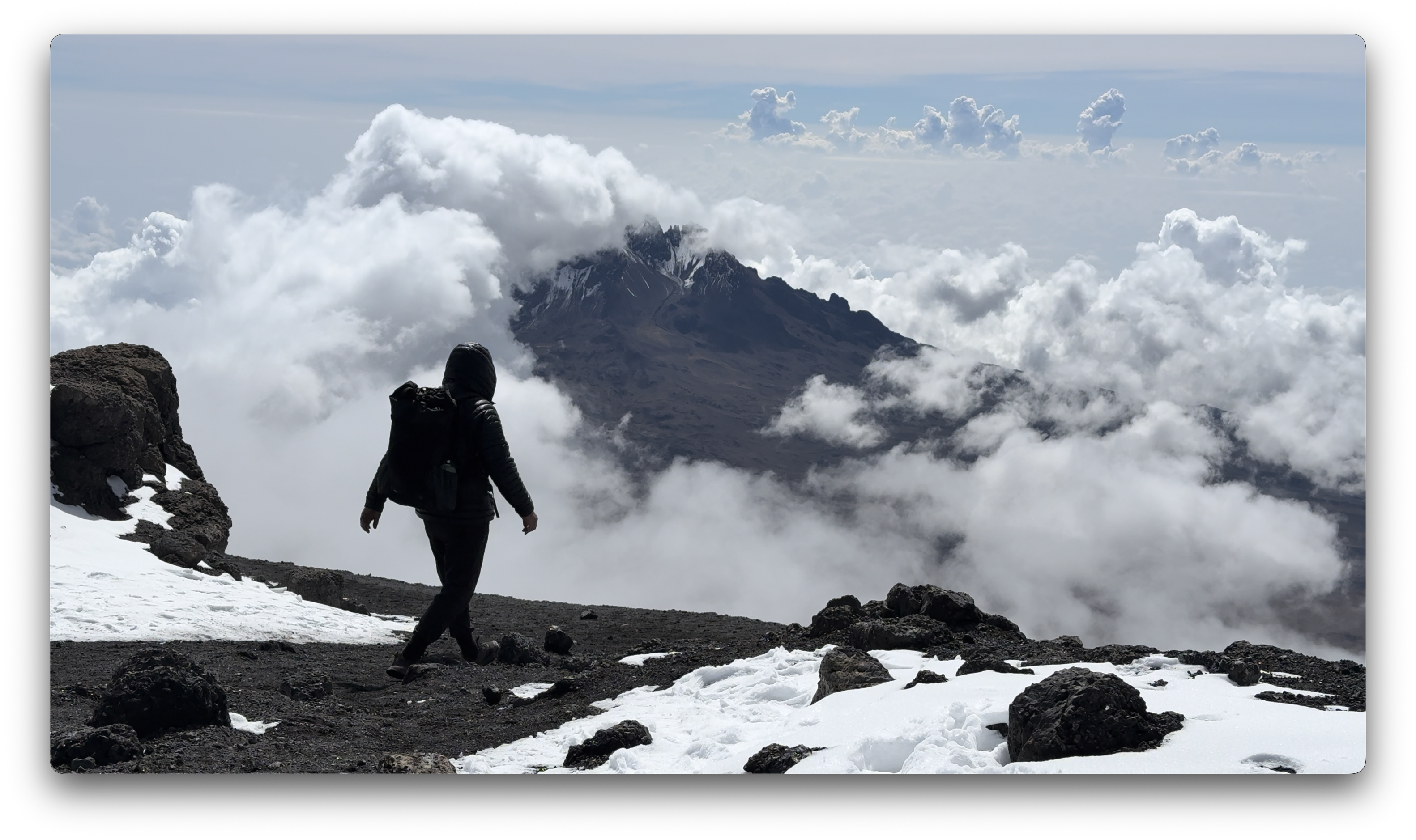
We had great views over to nearby Meru volcano. When you see hikers posed like this, you know they are searching for line-of-sight mobile phone reception. 😀
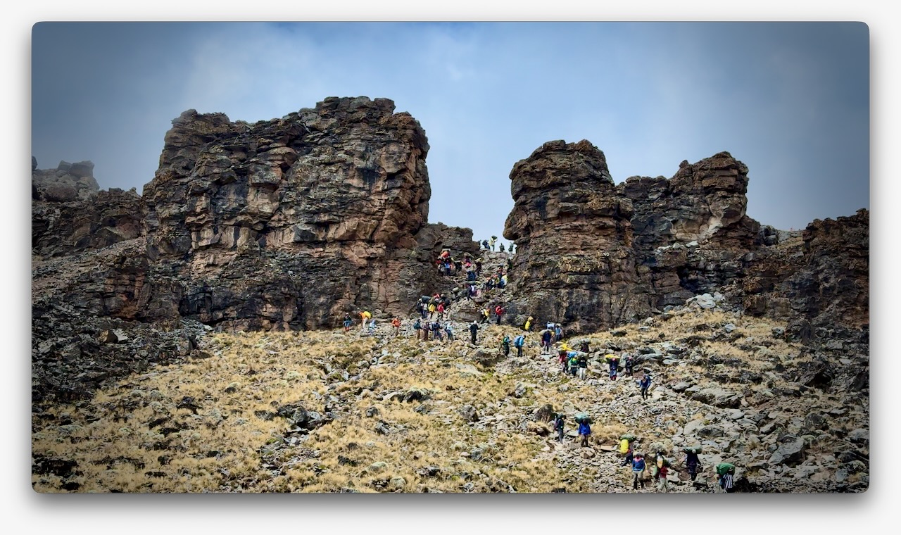
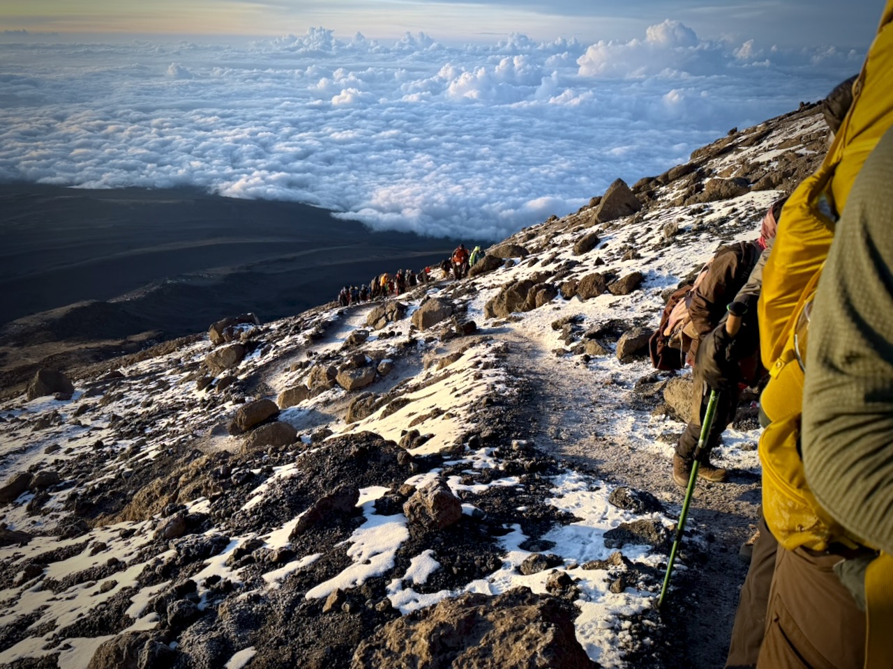
The Machame Route was crowded when I was there. We often had long lines of hikers & porters.
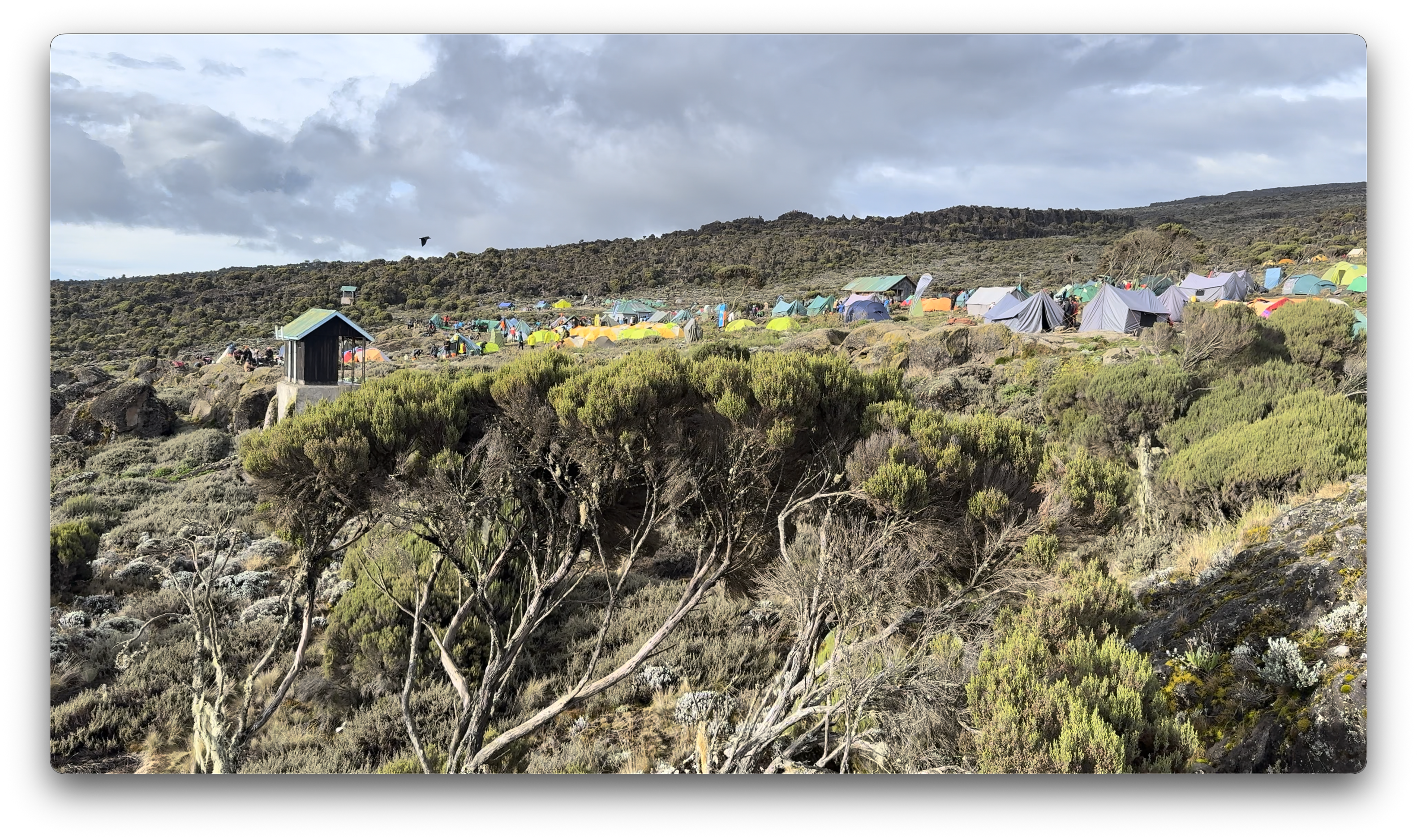
Camps are crowded and littered.
Personally, I felt the portable toilets provided weren’t great. I preferred squatting over a hole in the concrete in the permanent toilet buildings.
Hygiene is not top of mind for any of the guiding companies. In particular, I was surprised alcohol gel was not constantly provided.
That said, nobody in my group got sick from water or food.
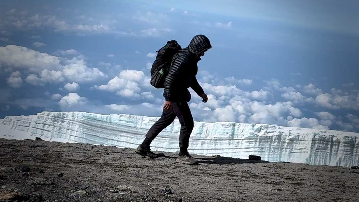
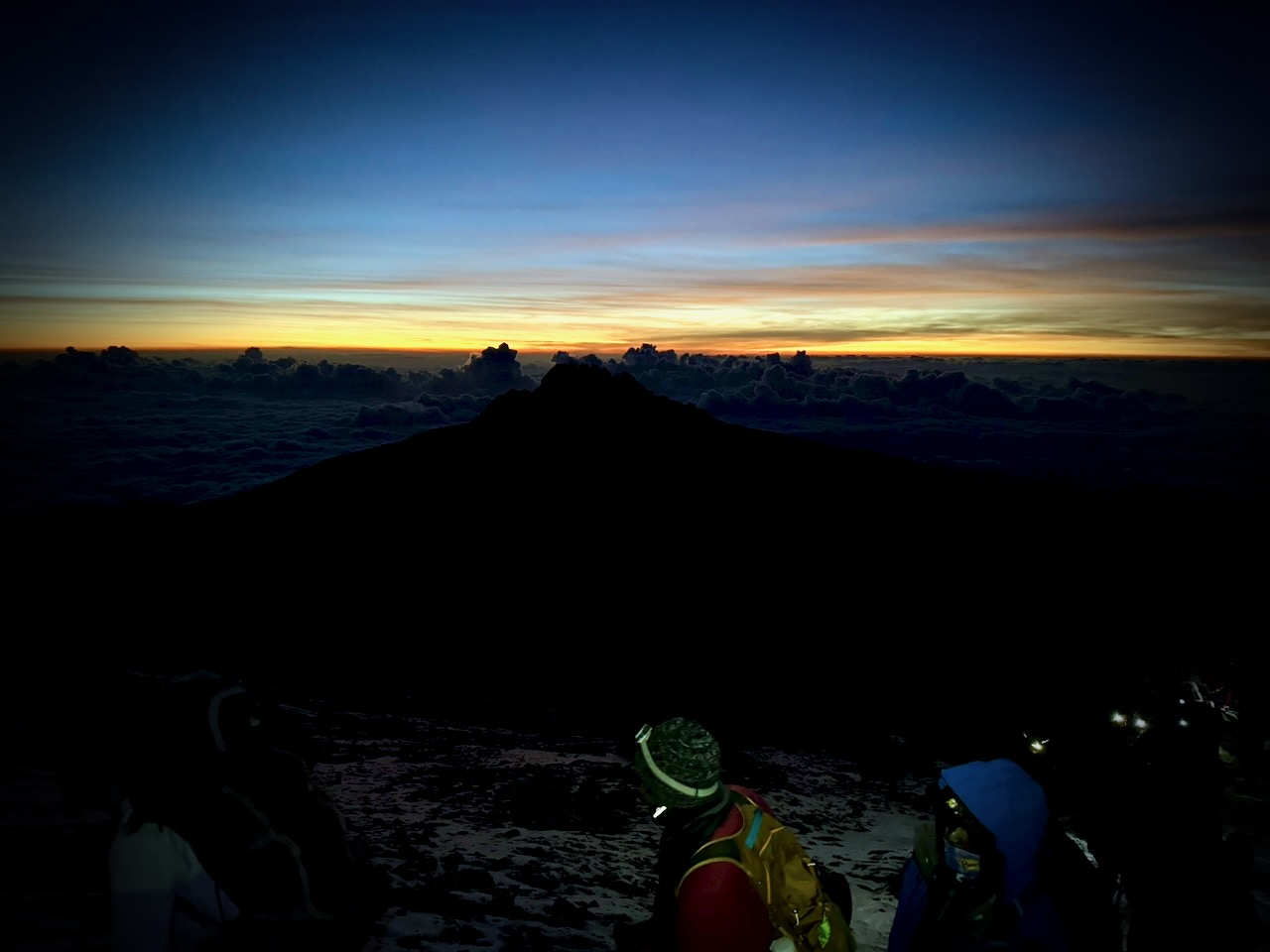
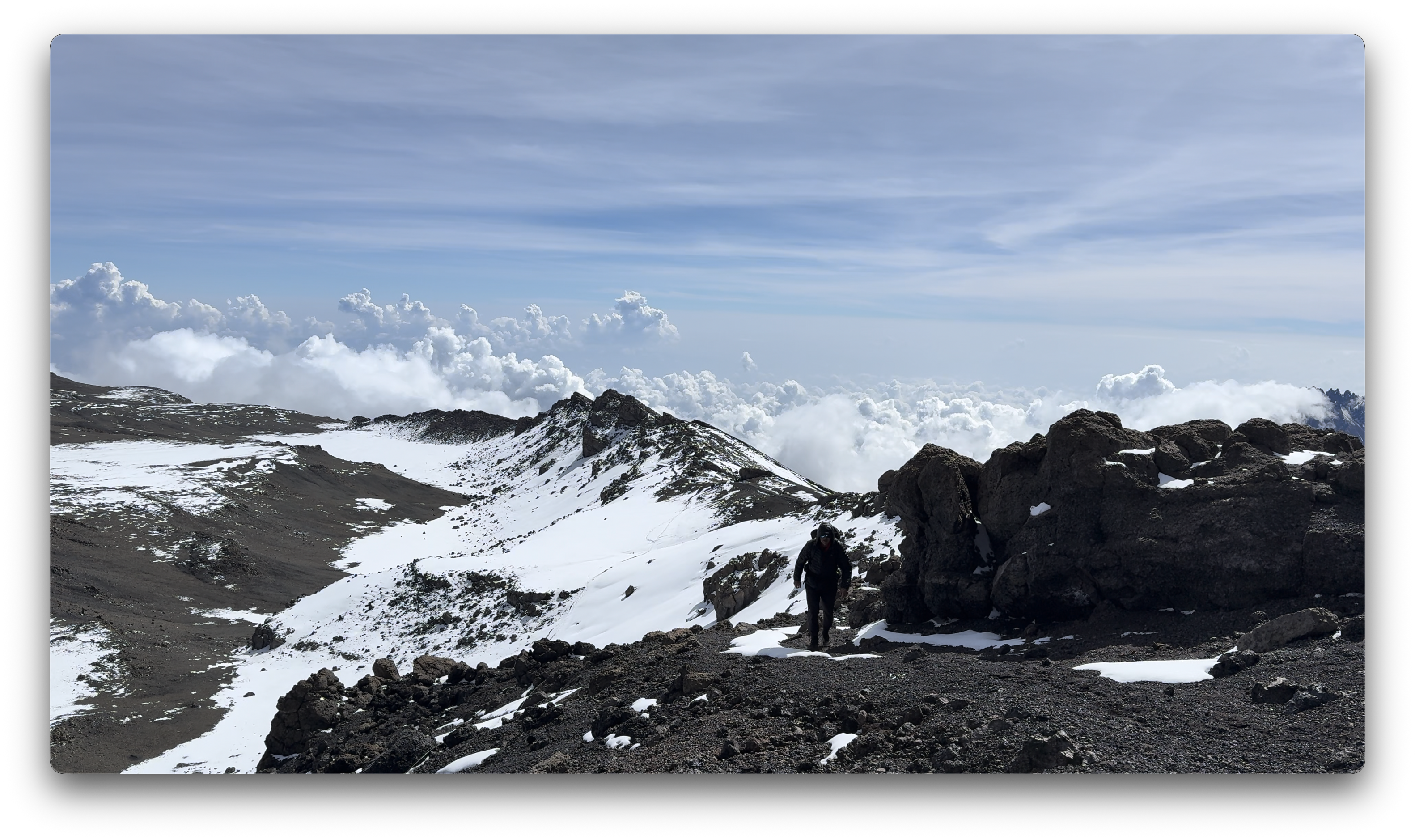
CRUX of Kilimanjaro is summit night. One of the toughest hiking days any of us could recall. I felt perfect. No pain. No problems … when starting.
Wake at midnight. Hot drinks 12:30pm. Start up at 1am.
It was a slow, cold trudge until dawn.
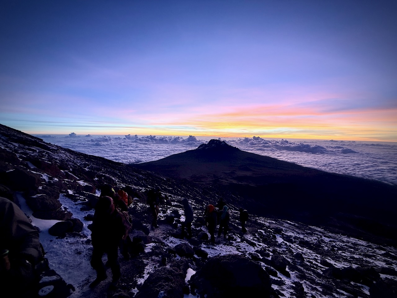
We had an ideal view of the changing light.
Way above the clouds.
We finally reached the first summit peak. And on perhaps another 35 minutes to the highest peak.
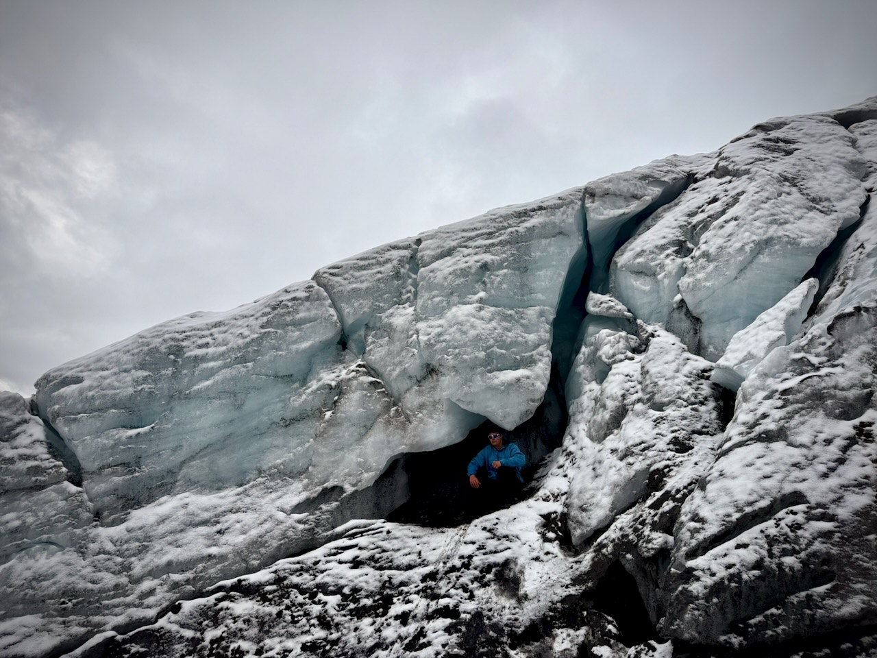
I took a LOT of photos and video up there. Most impressive were the odd, receding glaciers.
That was the FUN part.
Guides hustled us down as quickly as possible to avoid altitude sickness. We climbed down 8000 feet, not getting into low camp until 6pm or so. I ascended & descended for 16 hours, grabbing 1 hour sleep around noon.
Sore knees. Sore toes. And cramping quads.
Highlight?
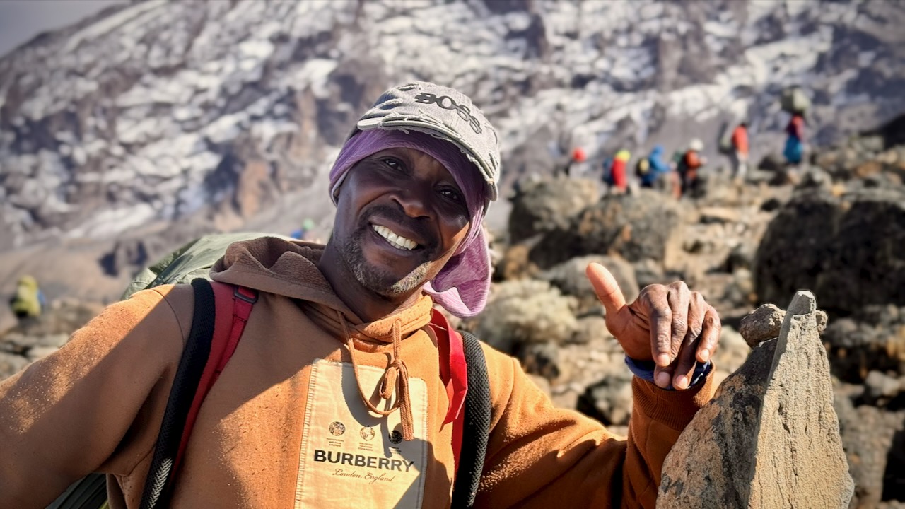
Most would agree that the porters, guides, and staff were the most impressive takeaway from this adventure. We probably had over 100 staff taking care of us over the week. And these folks will do positively anything you request.
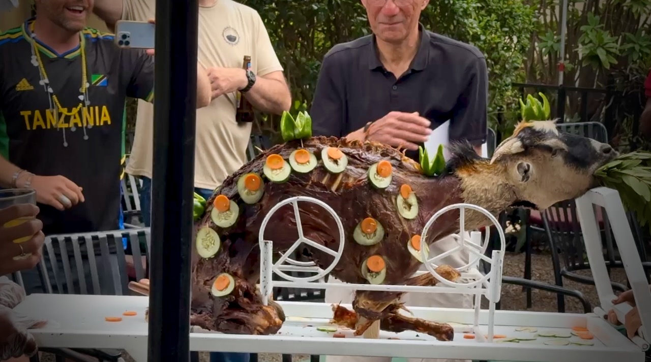
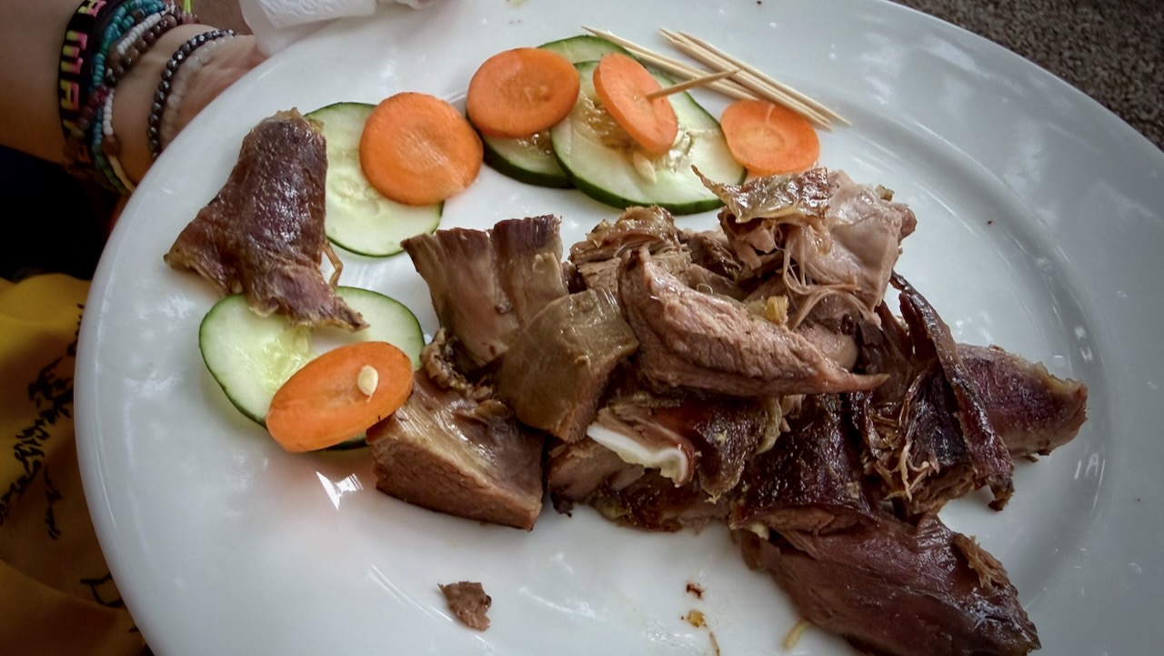
Back at the hotel, we celebrated with alcohol and devoured a full roast goat. Delicious.
A hiker died on Kilimanjaro while I was there. Reported heart attack.
On December 24, 2025, a rescue helicopter crashed, killing all 5 people on board. Two were hikers being evacuated.
10–20 deaths annually out of 30,000+ climbers.
I wrongly thought Kilimanjaro would be easy for me. It wasn’t.
The best months to hike in Ecuador are June to September and December to January, which align with the region’s two primary dry seasons, offering clearer skies and more stable, albeit windy, weather.
June–August is ideal for trekking, while November–February is often preferred for climbing volcanoes like Cotopaxi.
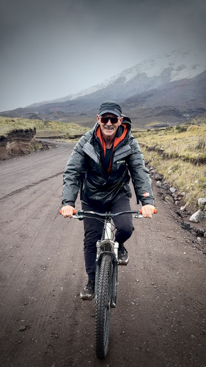
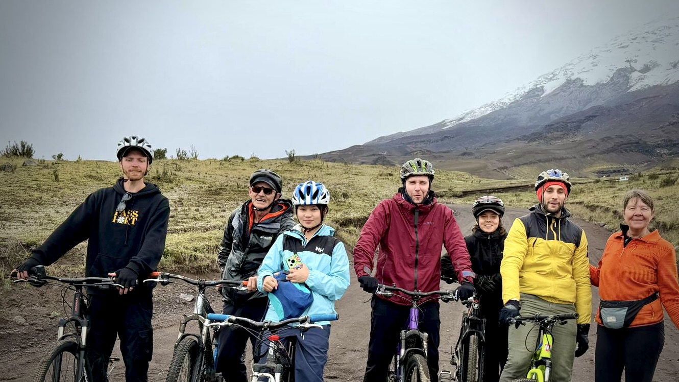
My first trip to Ecuador was January / February 2026.
Locals told me it had been rainier than usual — with rain starting almost every afternoon. Normally stopping around sunset.
I was happy with my itinerary and consider myself something of a veteran now. 😀
Acclimatization is critical. Therefore I recommend you start with this sequence of hikes:
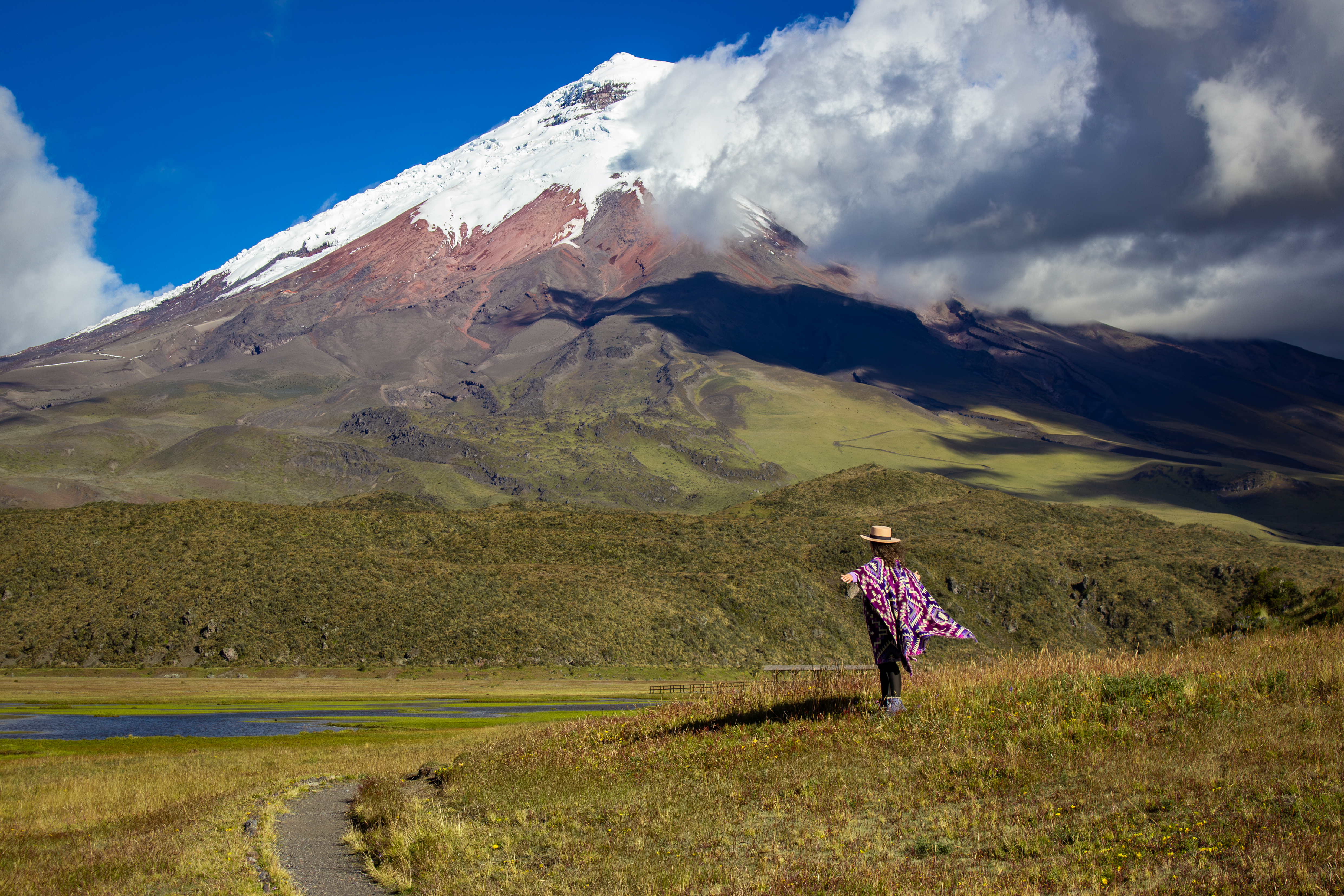
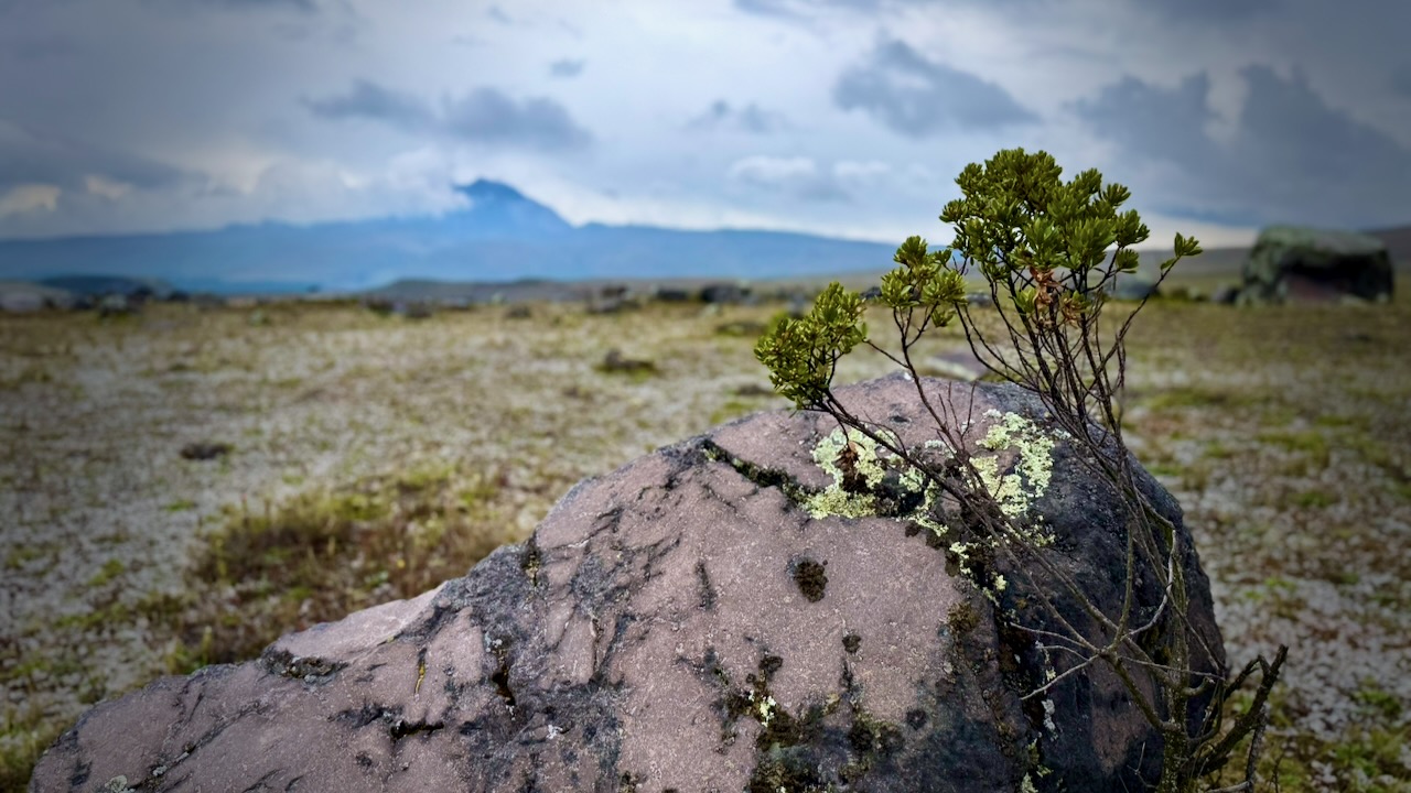
If I had more time, next would have been a summit attempt to either the top of Cotopaxi 5,897 m (19,347 ft) or Chimborazo 6,263 m (20,548 ft). Chimborazo summit is the farthest point on Earth’s surface from the Earth’s center due to its location along the planet’s equatorial bulge.
Finally, Ecuador may be the least expensive of the great hiking destinations of the world. Get planning. 😀
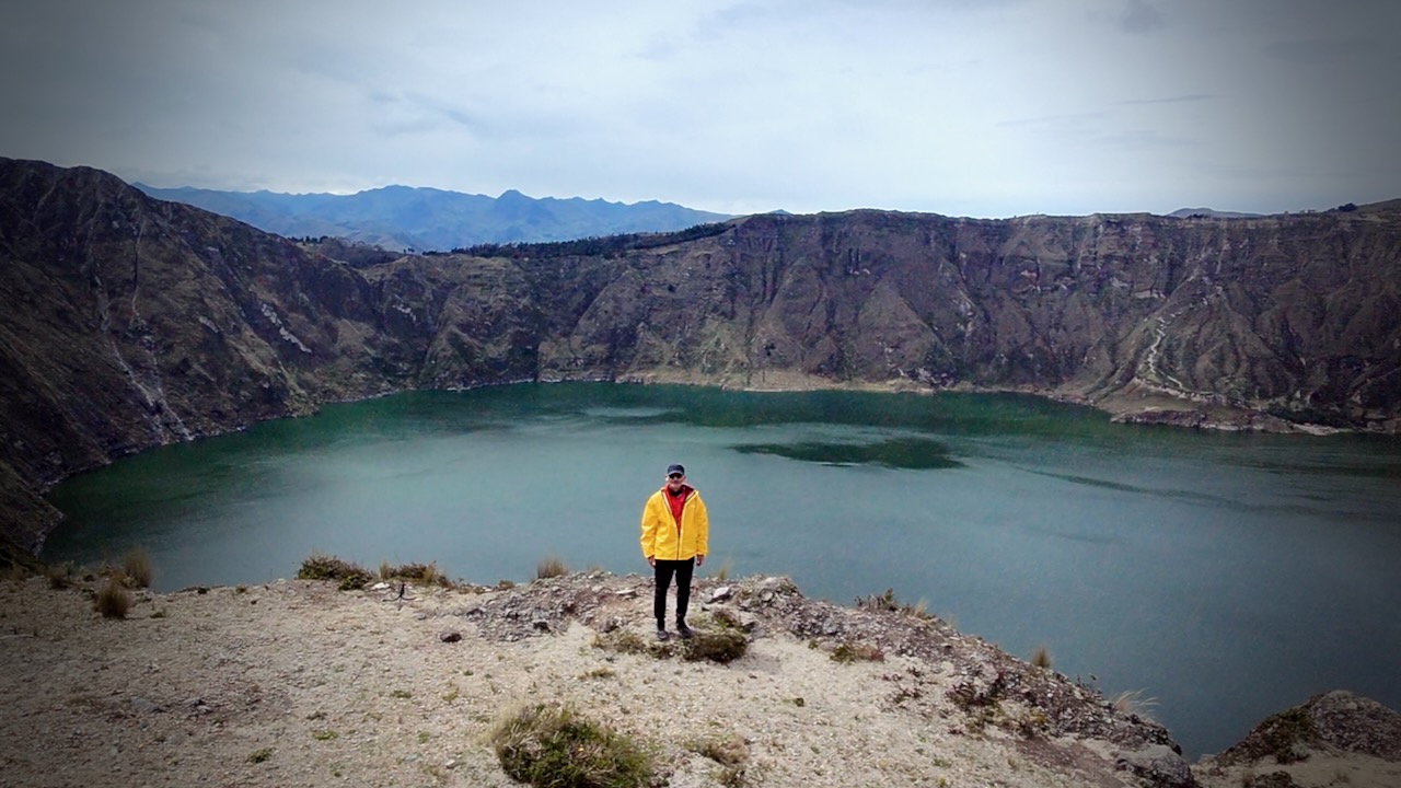
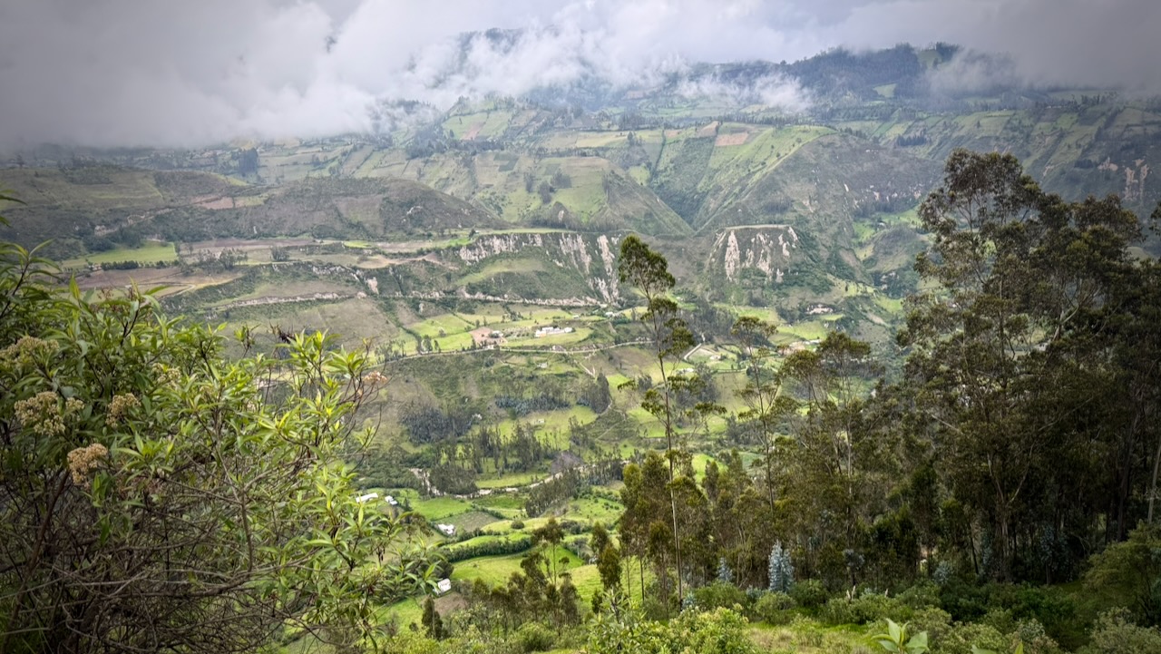
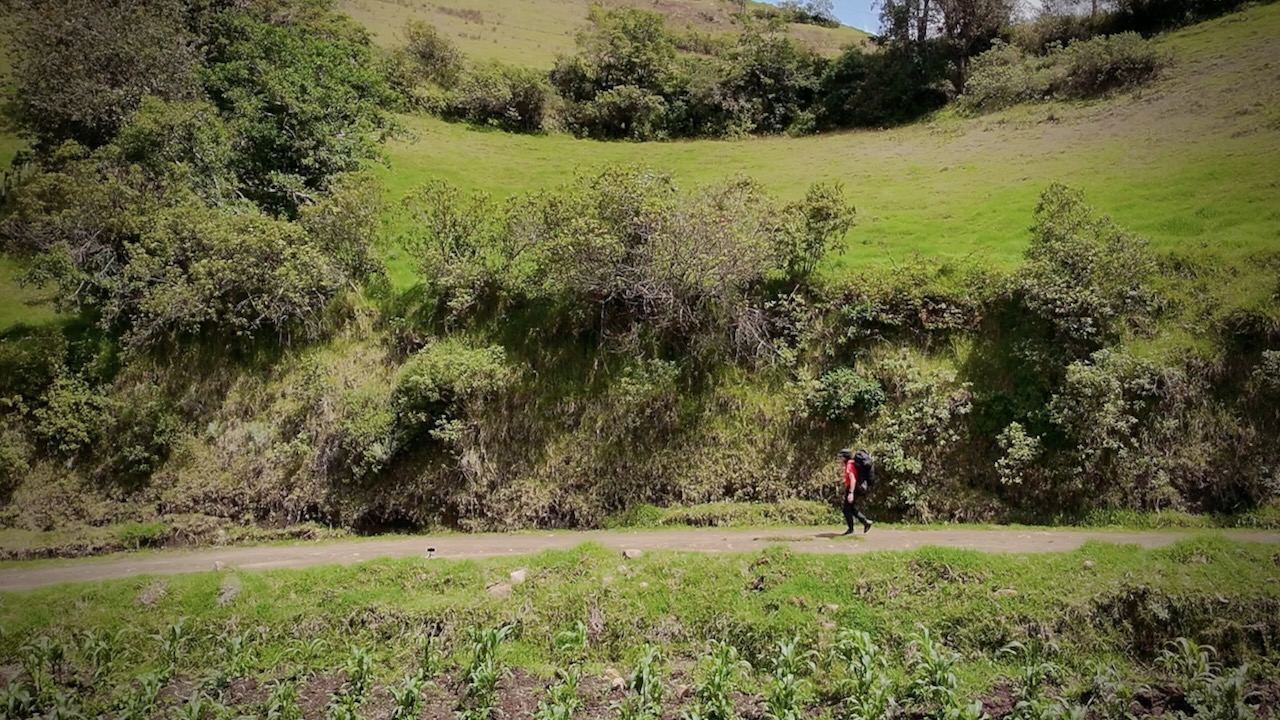
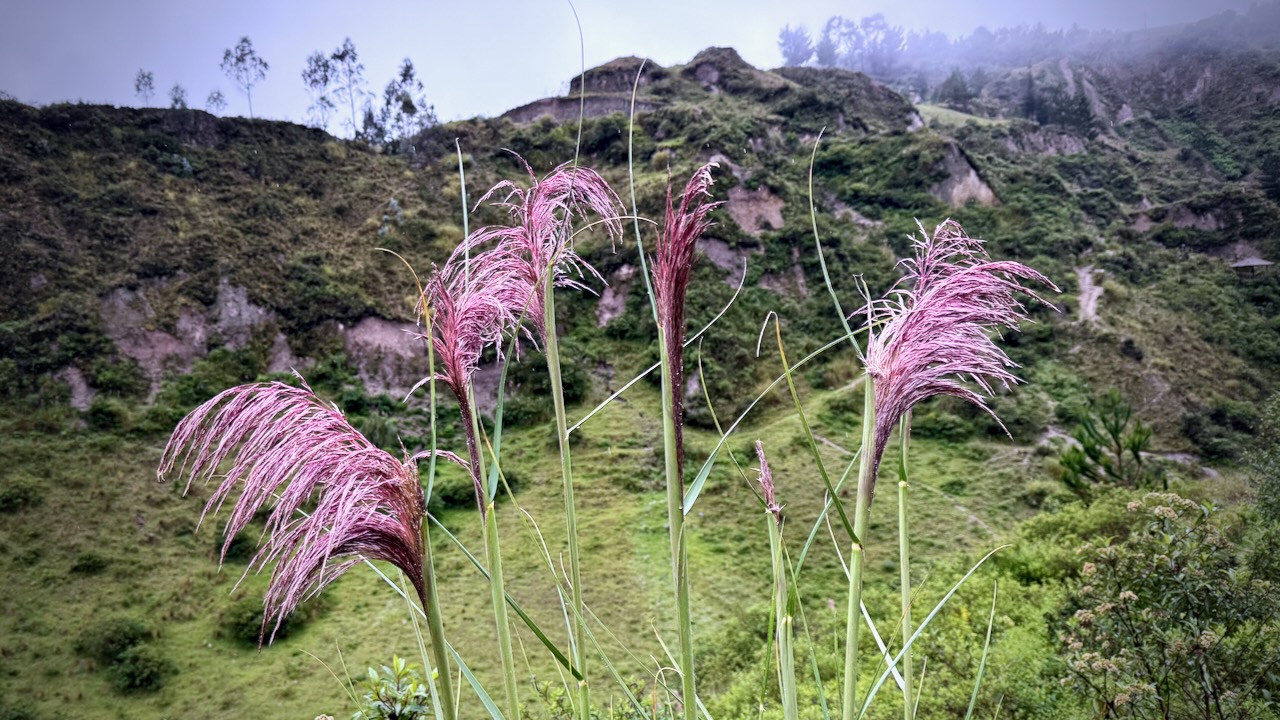
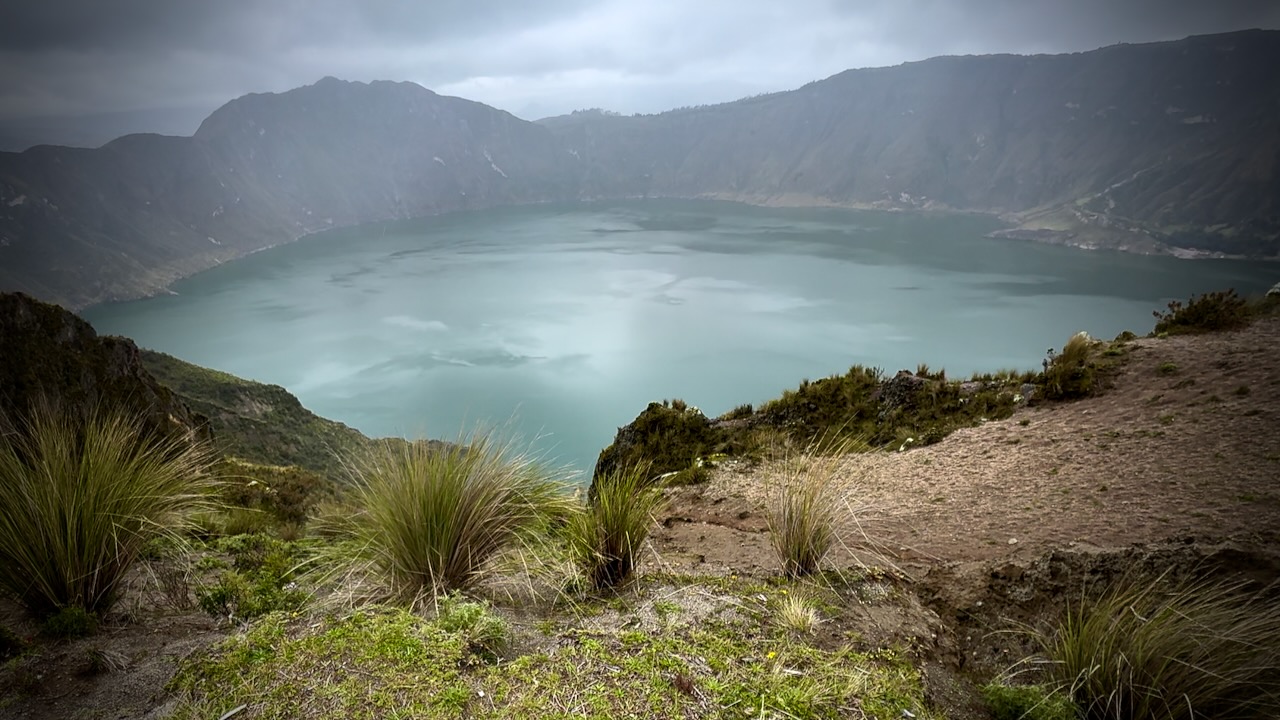
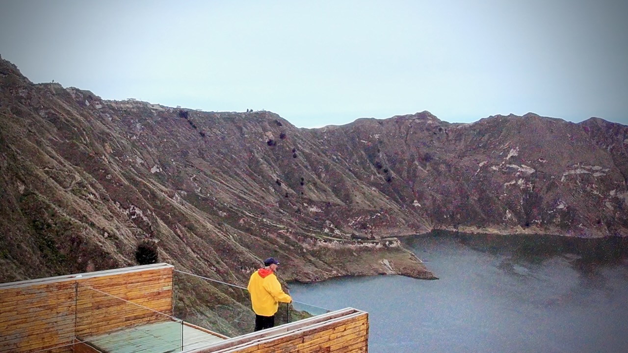
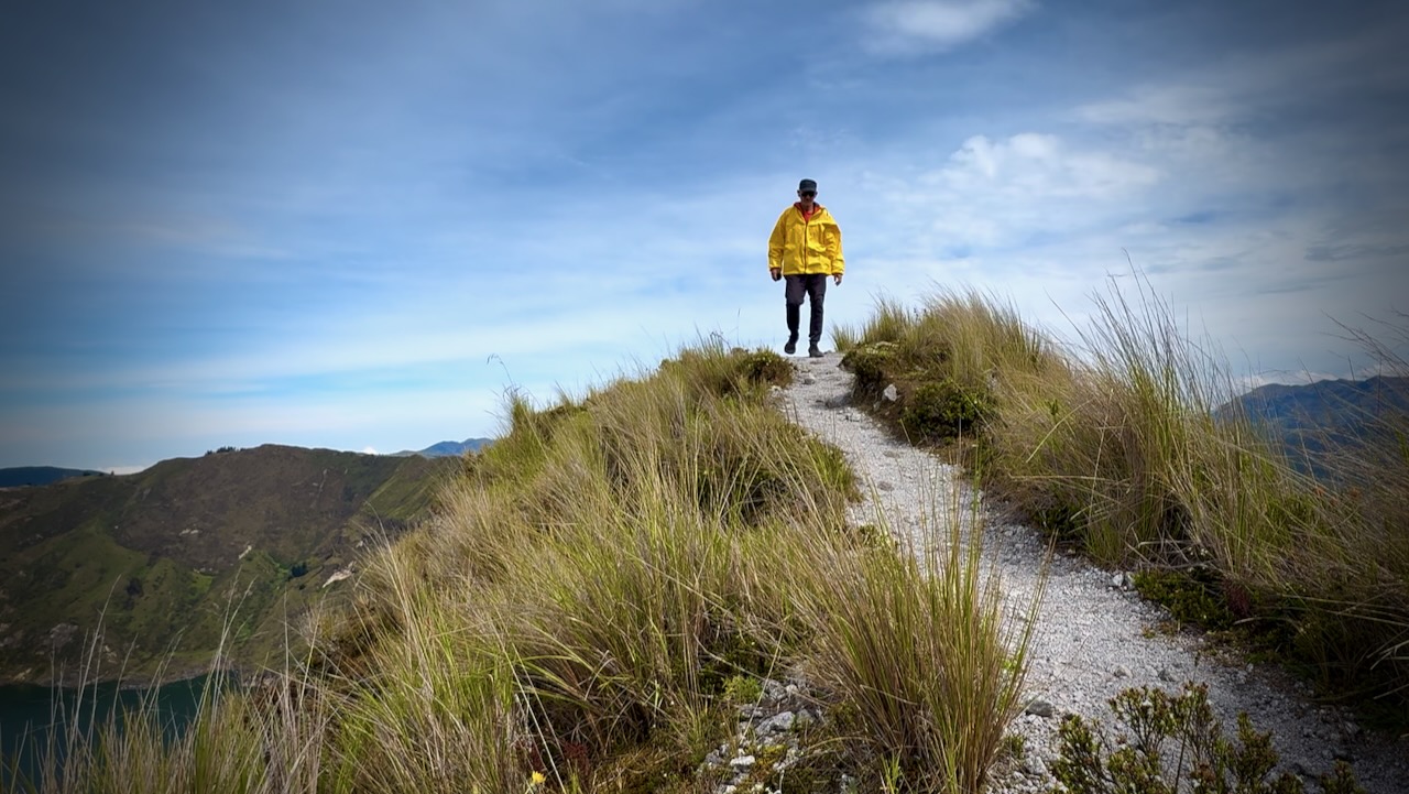
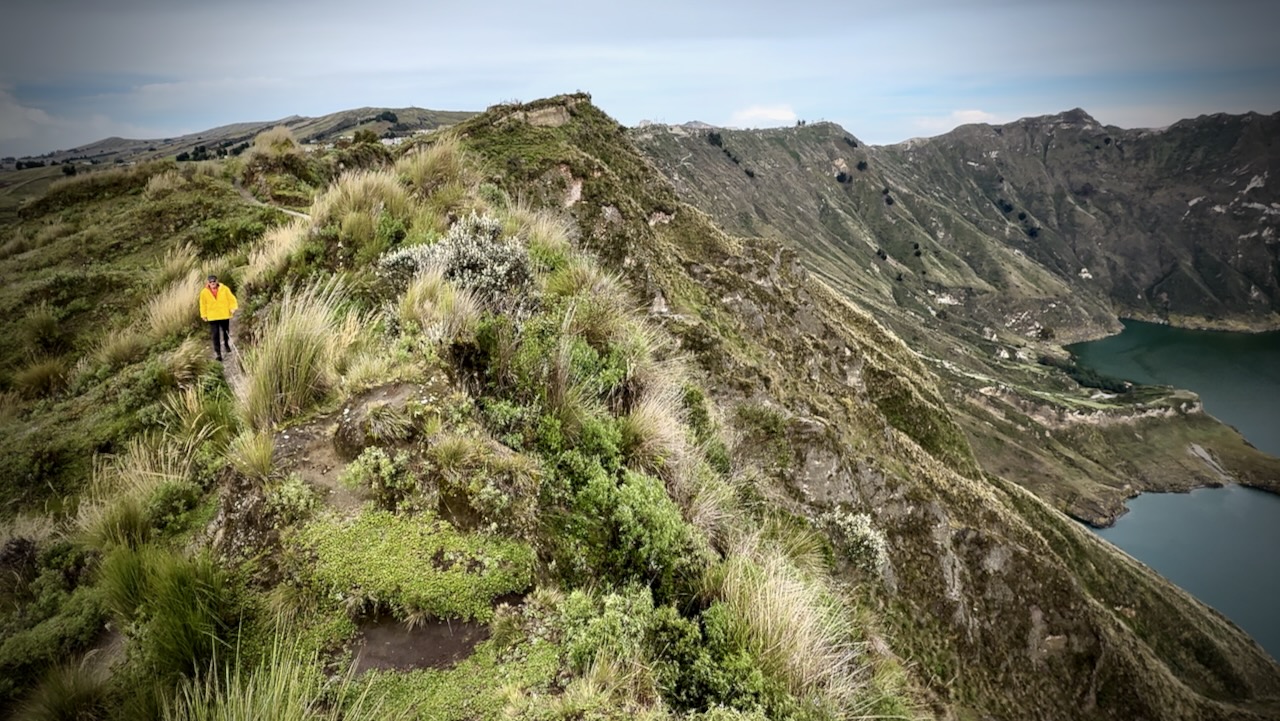
The Quilotoa Loop, climbing to a 3-kilometre (2 mi)-wide volcanic caldera, is the most famous multi-day hike in Ecuador.
34.8km
2,480m elevation gain
4 days, 3 nights
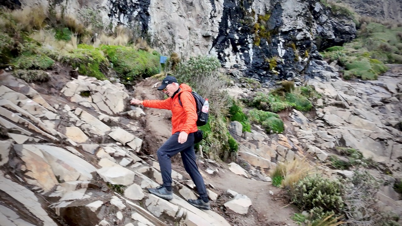
It’s essential that you be acclimatized for altitude before climbing with a full pack. I’d been in Ecuador over 2 weeks before starting, most of that time above 3000m.
Quilotoa Crater Rim
In 2026 almost every hiker I met was using the AllTrails app offline to find their way. Our back-up was the Maps.me app offline which includes more trails, more options.
Despite those apps, we all managed to miss multiple side trail turn-offs every day. 😀
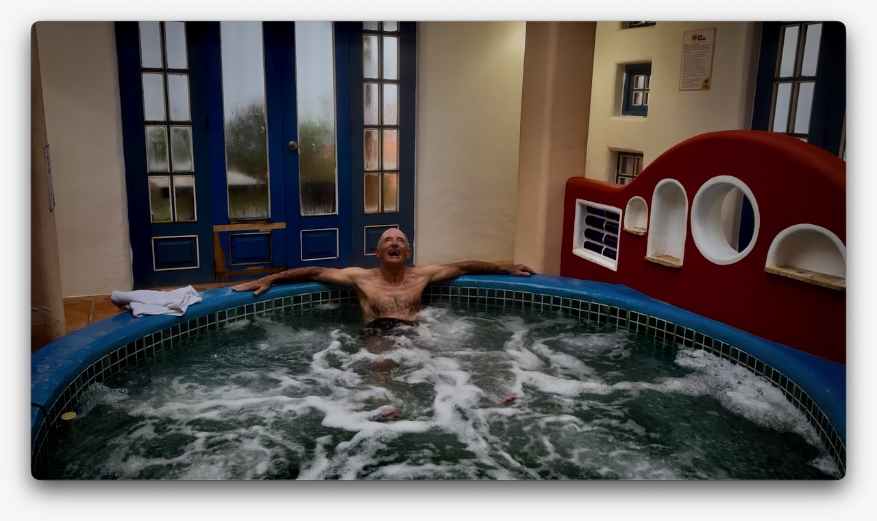
Most hostels cost about $20 for a private room including a complete breakfast and dinner. Hot or warm showers. Good wifi. Jacuzzi and sauna extra charge. A fantastic bargain.
Though I carried a tent as emergency back-up, there’s no way I was going to use it with so many great, inexpensive hostels available.
Weather is a huge factor. I hiked in early February, one of the best months. But had rain almost every afternoon. The rule here is to do as much hiking as possible early in the day.
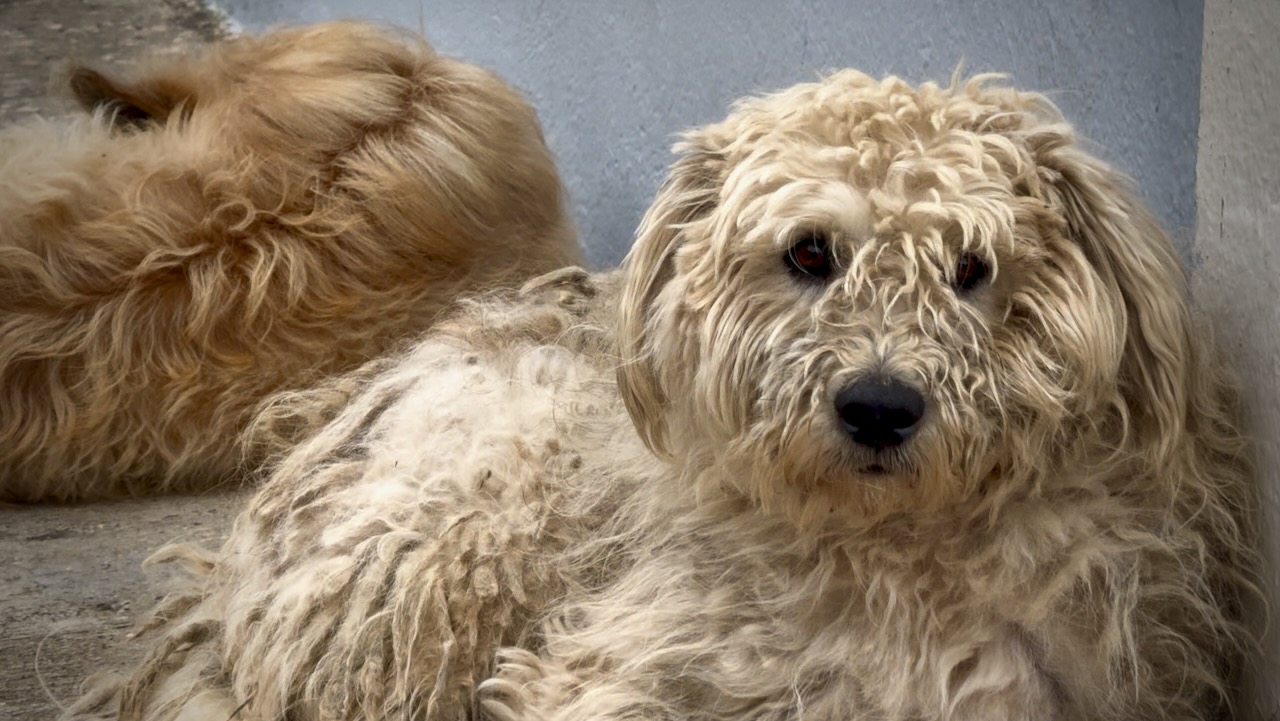
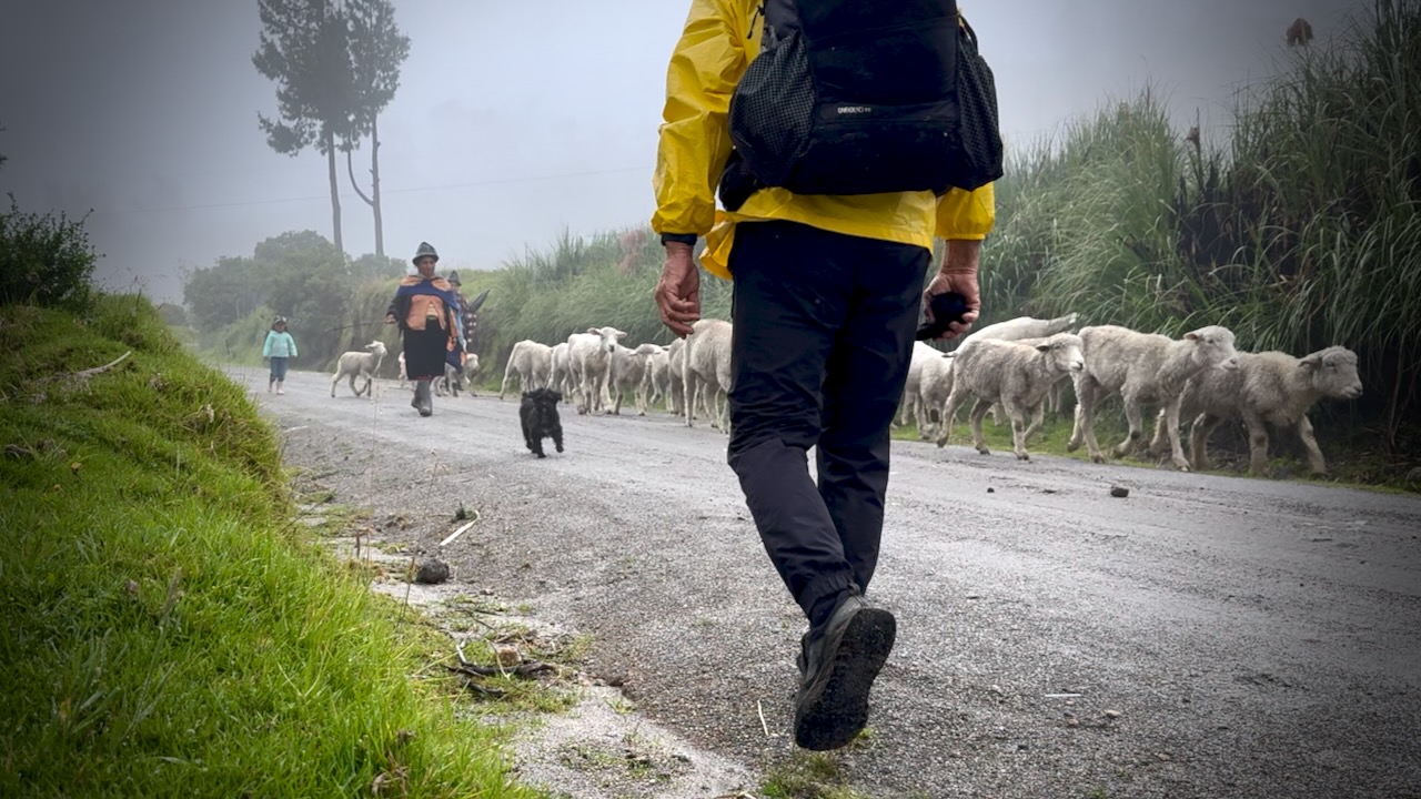
Farm dogs tend to bark at strangers. At times you must pretend to throw something at them to dissuade.
Typical 3-Day Itinerary (Sigchos to Quilotoa)
Most hikers prefer this direction to save thecrater lakefor the end and to acclimatize more gradually.
Sigchos (2850m) to Isinliví (2950m).
Distance: ~9.9 km (6.1 miles)
Time: 4–7 hours
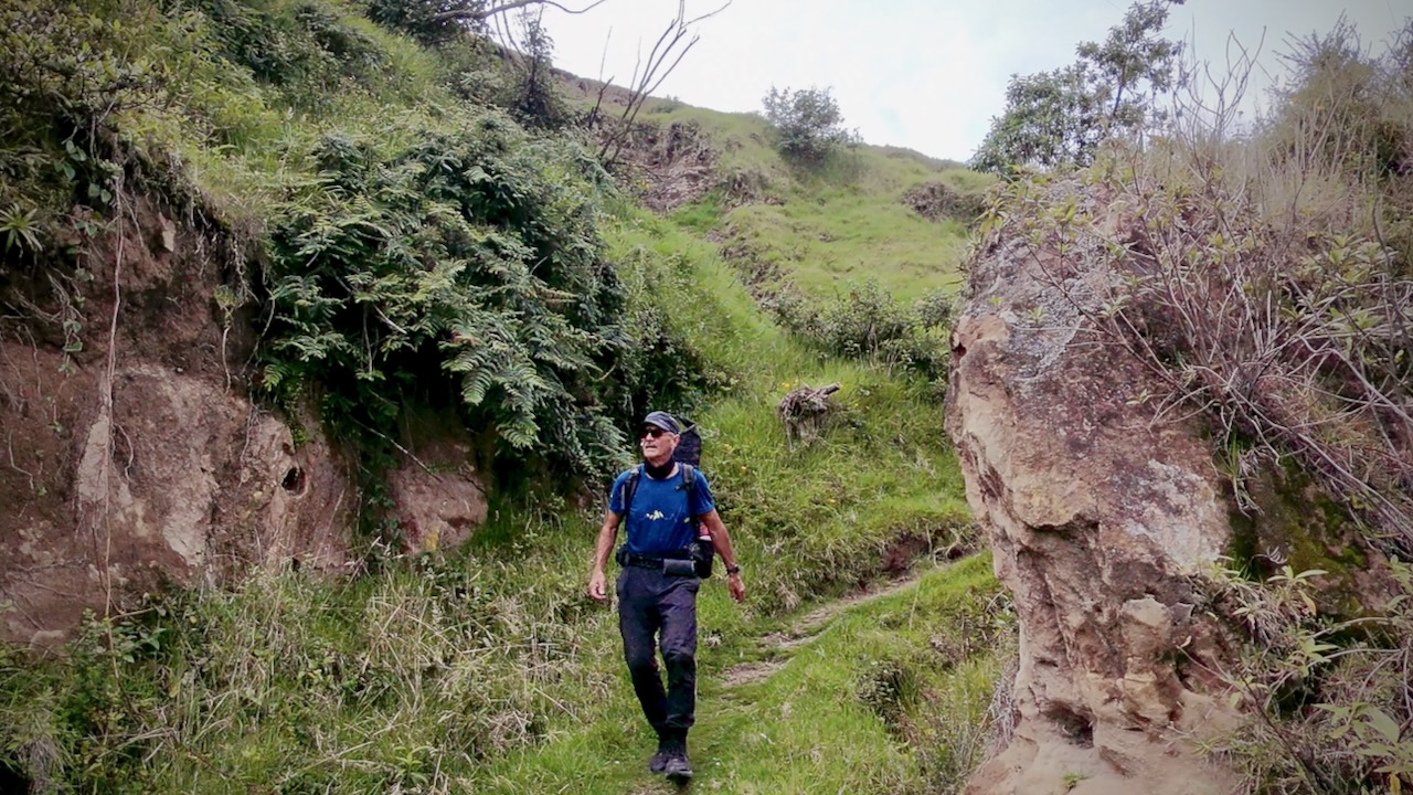
Details: This is the easiest day, involving a descent into the Toachi Canyon and then an ascent to Isinlivi. The trail goes through lush farmland and past small communities.
Isinlivi to Chugchilán (3200m)
Distance: ~11.8 km (7.3 miles)
Time: 4–8 hours
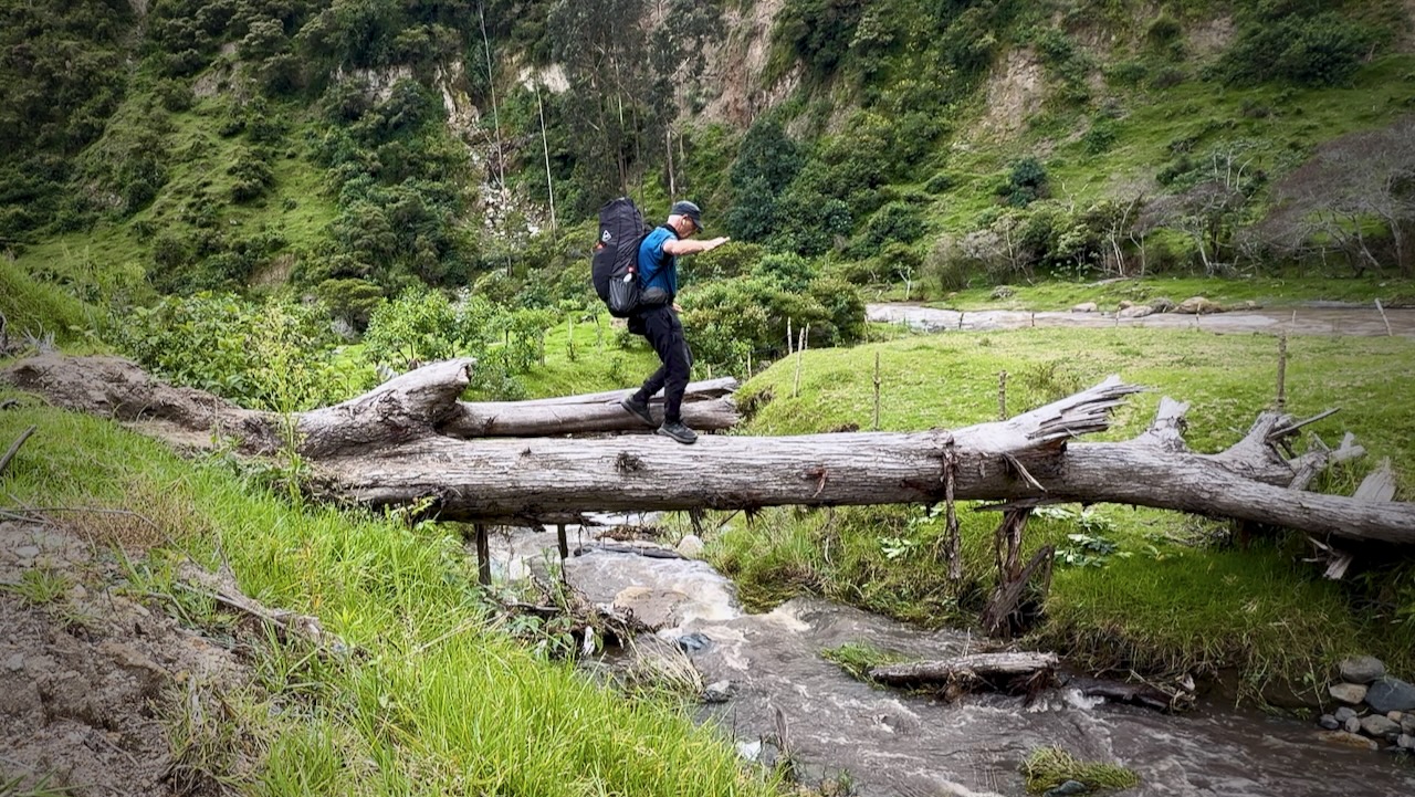
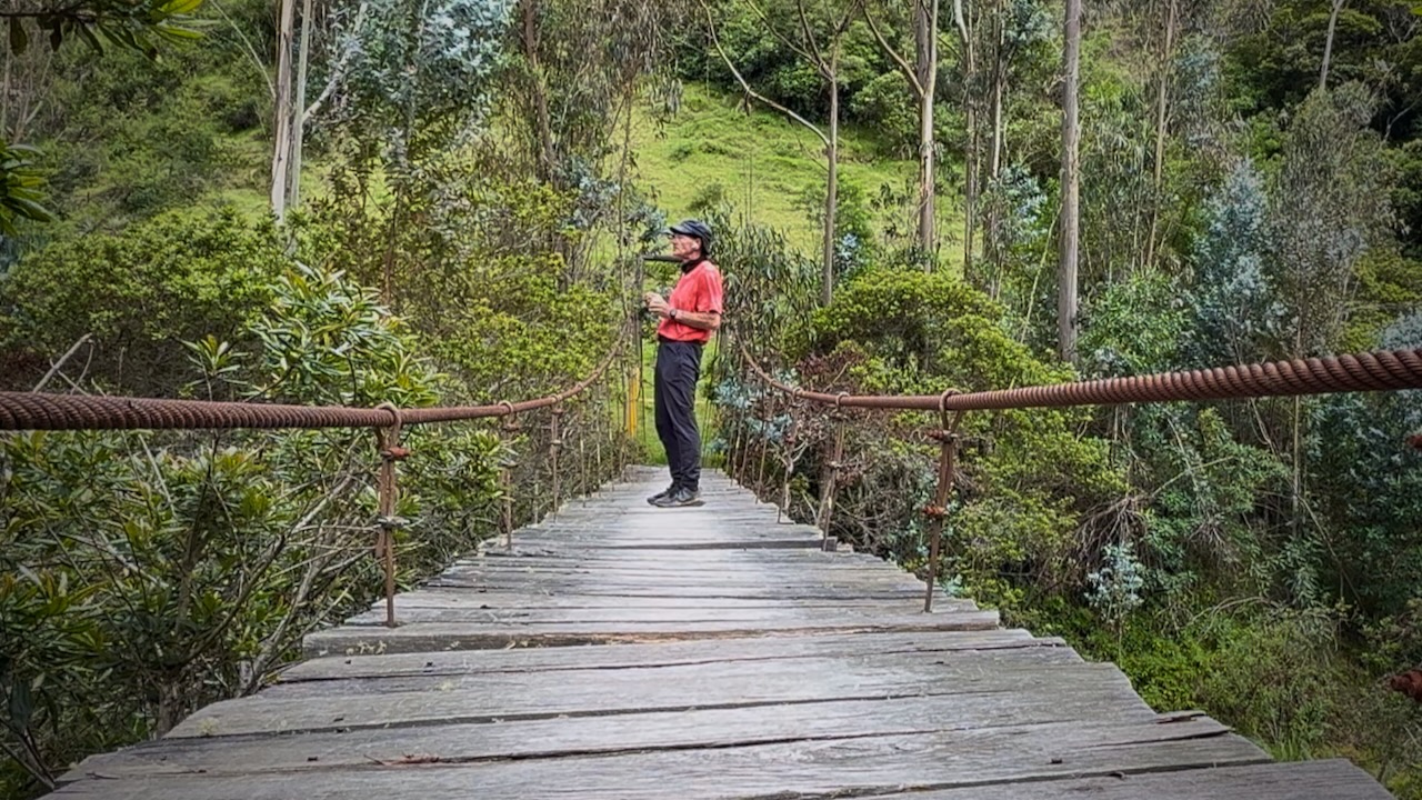
Details: A harder day with two major climbs and a suspension bridge crossing at the bottom of the valley. The hike takes you through more dramatic canyon landscapes.
Chugchilán to Quilotoa (3800m)
Distance: ~13.2 km (8.2 miles)
Time: 5–9 hours
Details: The most challenging day due to the significant elevation gain at high altitude. The trail gradually climbs up to the rim of the Quilotoa crater, offering stunning views of the lake at the finish.
Once at Quilotoa village, most hikers catch a bus back to Latacunga. I stayed overnight in the village to be able to complete the additional 10.8km Quilotoa Crater Circuit next morning. Not easy. That’s an extra 795m elevation gain.
Day 1
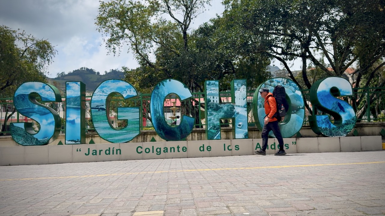
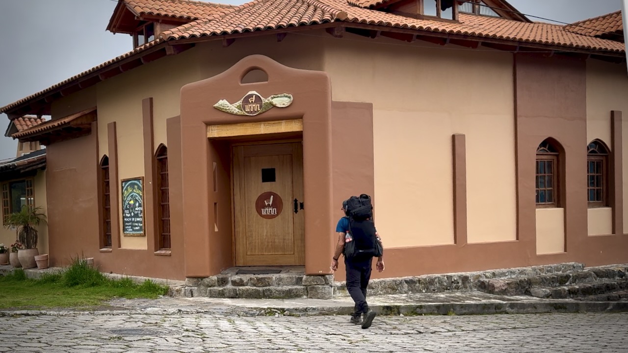
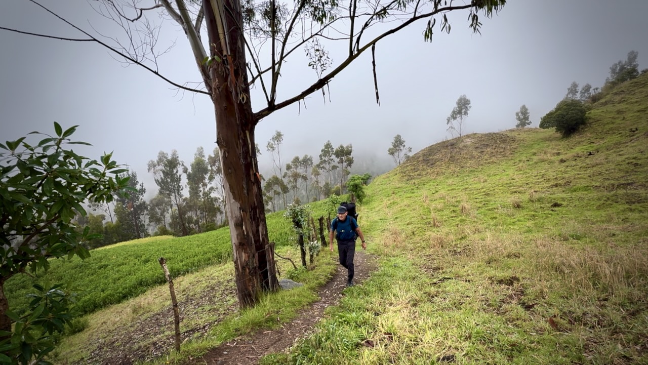
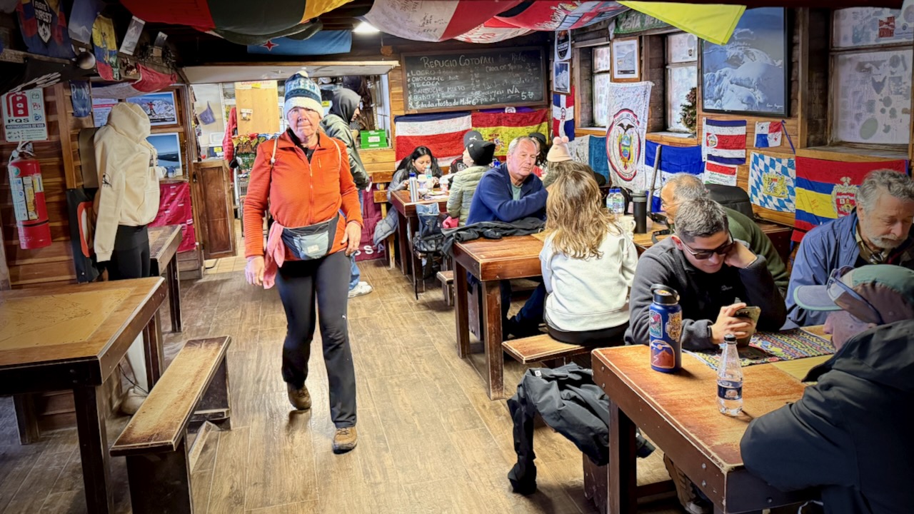
I stayed one night in Latacunga, gateway city to the Quilotoa Loop. Hostal Café Tiana was excellent. I opted to carry ALL my gear rather than leave anything behind at the hostel.
Next morning caught the bus toSigchos. And began the walk to Isinliví.
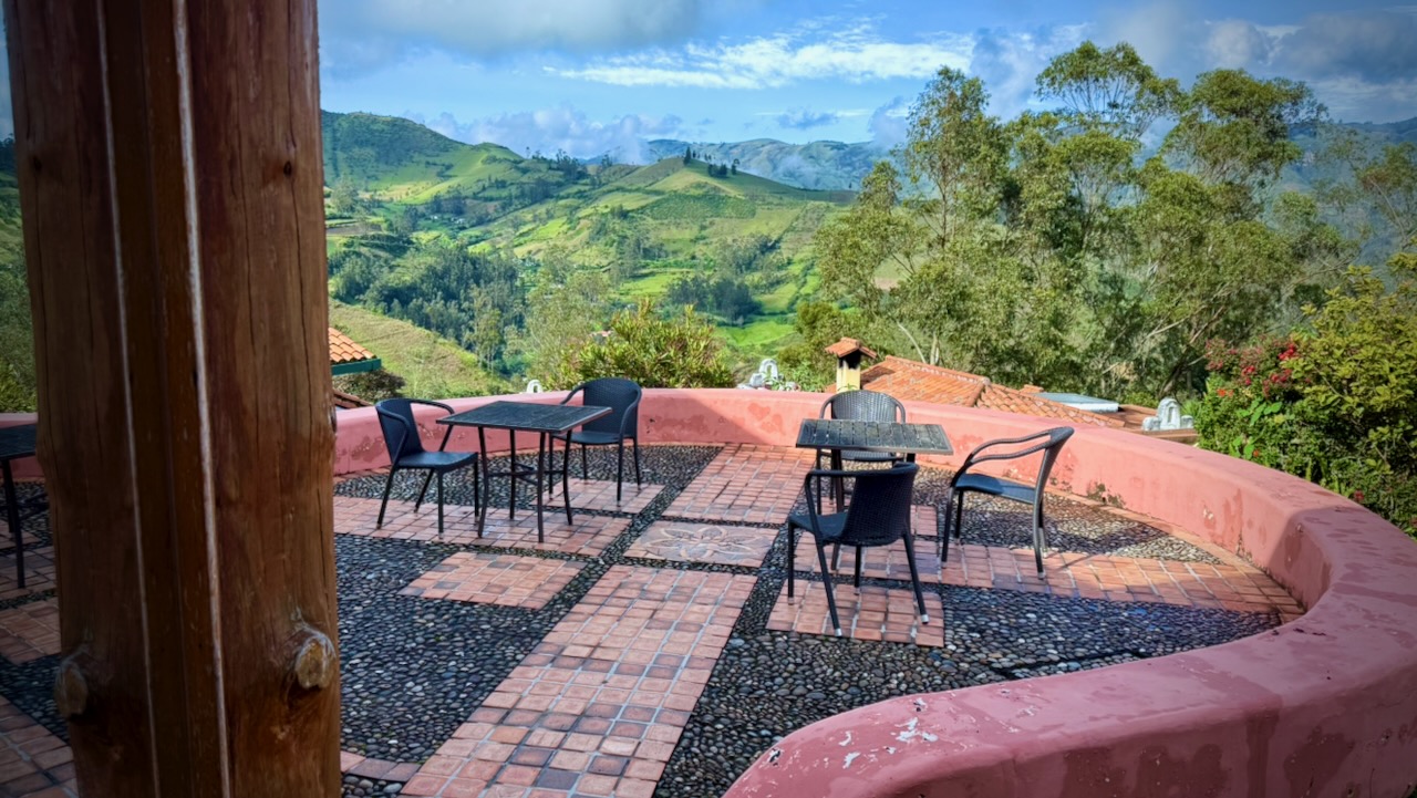
I was enjoying Llullu Llama Mountain Lodge — so didn’t start walking until 11am. Not smart. You should get going as early as possible each day.
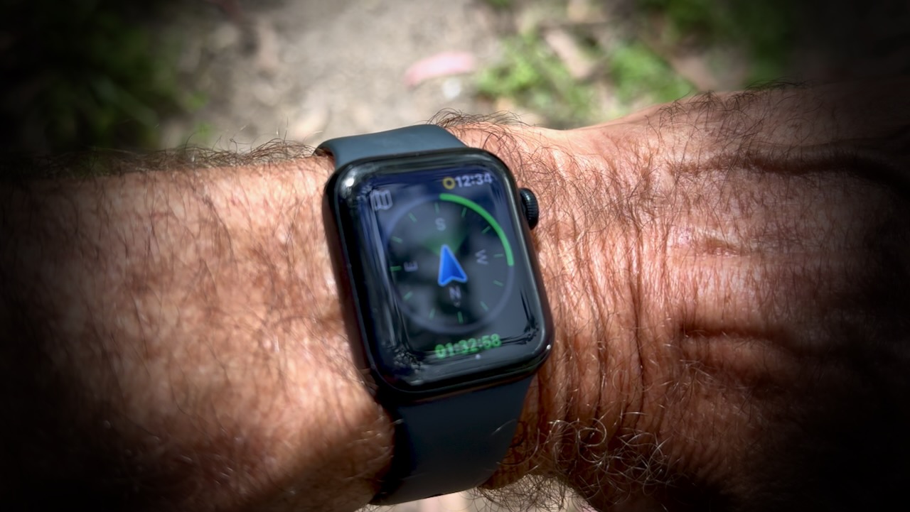
As we’d all missed many small trail turn-offs the day before, this time I opened the AllTrails app on my Apple Watch. In general, the green means you’ll be turning in that direction. It did help. I missed fewer turns. BUT this does kill the watch battery quickly.
Screenshot
Day 2 was tougher and wetter.
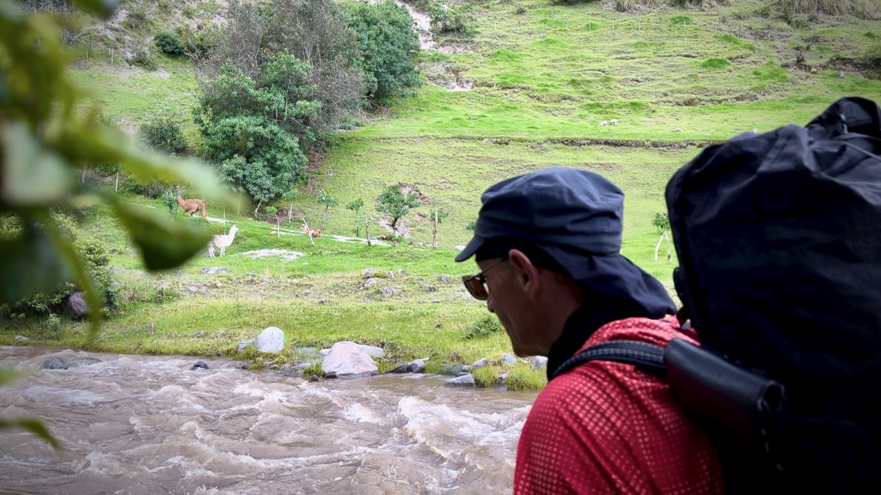
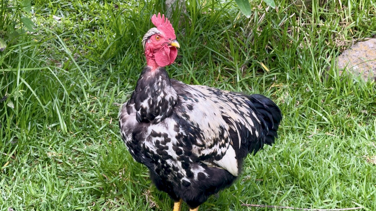
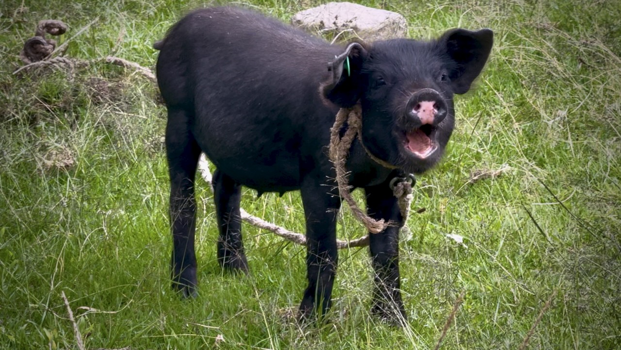
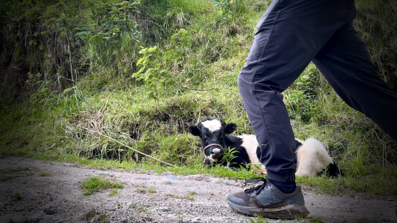
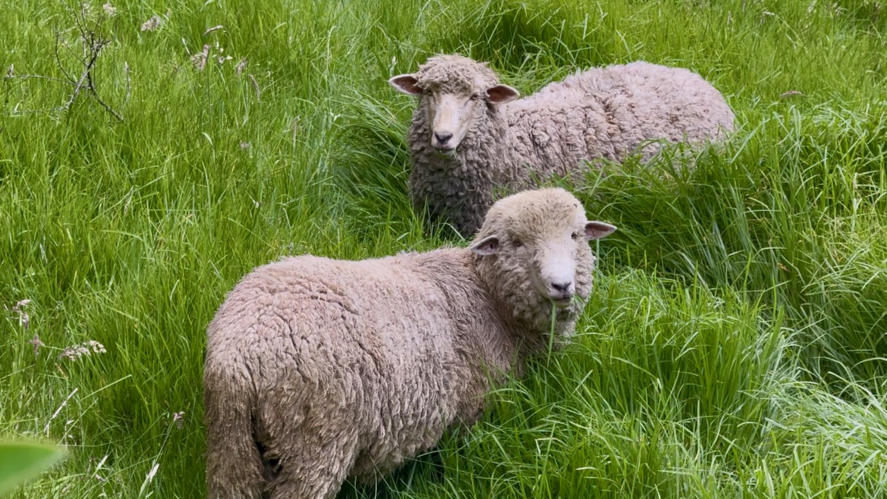
I saw few hikers each day as we were all walking the same direction. BUT was never lonely. Domestic animals are everywhere on this trail.
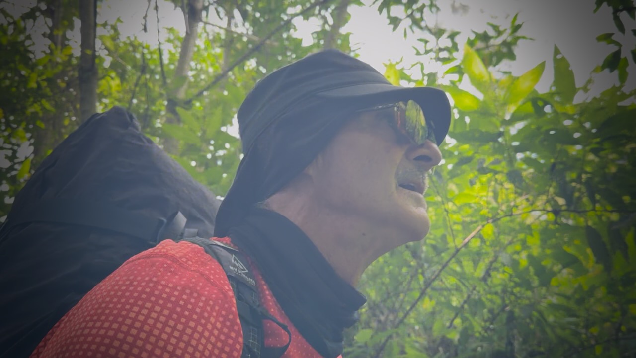
The sun was out for several hours. Dangerous near the equator. It’s easy to sunburn. I should have covered-up up better.
Sunburn victim.
Peanut butter for lunch on the bridge.
As is typical of the weather here, rain began in the early afternoon. My phone ran out of juice and would not be recharged by portable battery because the cable was wet. My Apple Watch died.
Without electronic navigation, I could really have gotten lost.
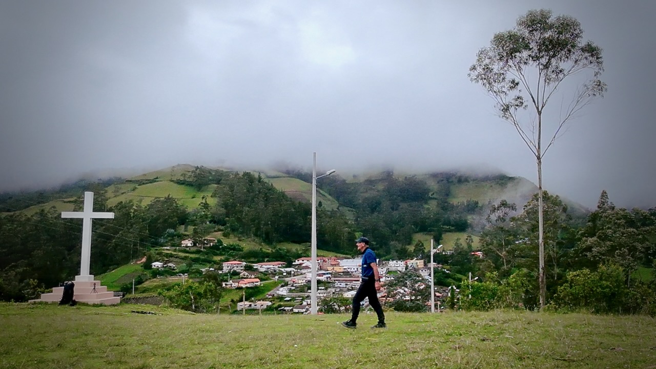
Even worst, the last part of day 2 has multiple possible routes. I ended up on one which was stunning, but more difficult. Somehow I still made it to Chugchilán, a larger town. We stayed at the Cloud Forest which featured a Sauna.
Day 3
Having learned my lesson, I started early.
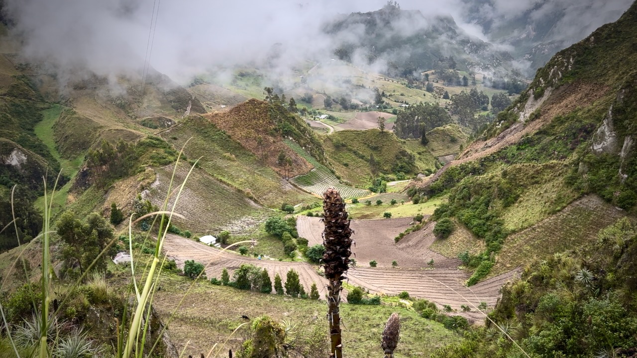
As elevation increases, I had more cloud.
Hikers debate which is tougher ➙ day 2 or day 3. Both are challenging.
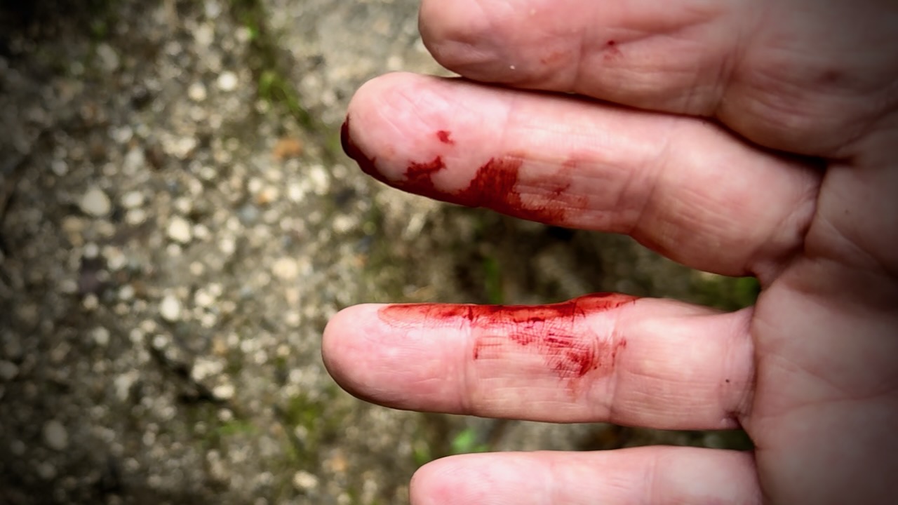
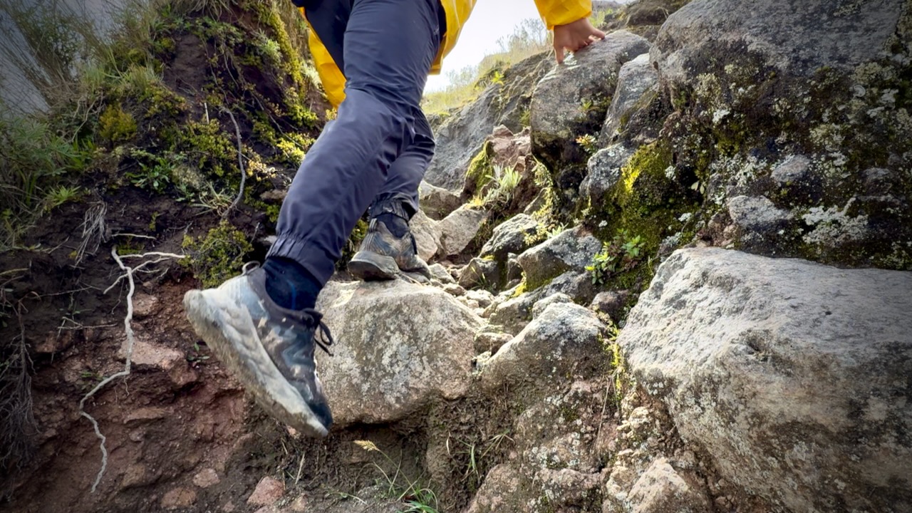
My fingers were bleeding at least 3 times. Some of the vegetation is thorny.
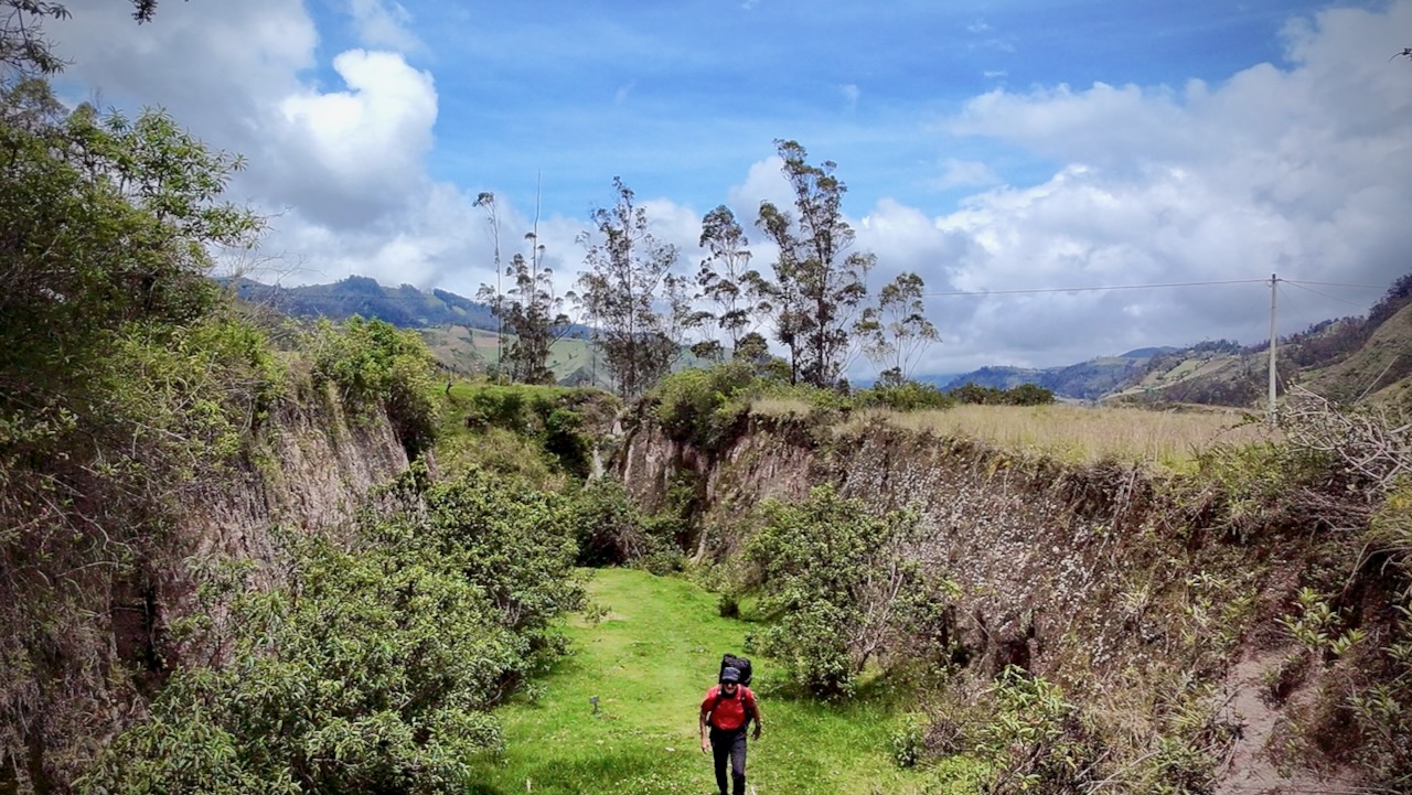
There are some astonishing valley vistas this day.
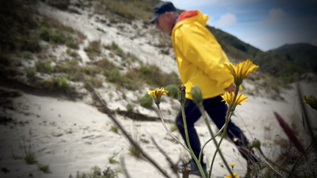
Vegetation does change with elevation.
Rush hour.
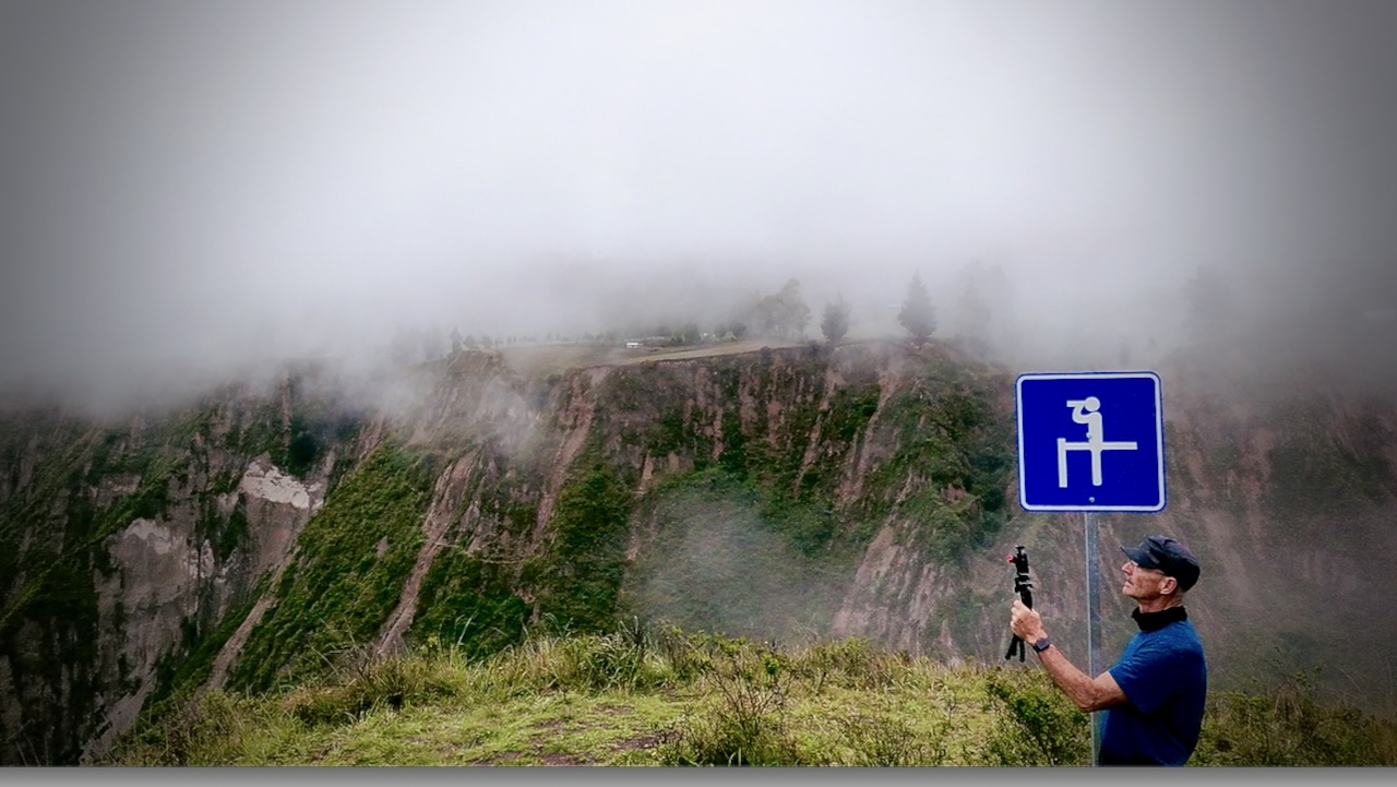
Celebration time when finally reaching the crater ridge.
From this point, it’s still about an hour’s walk to Quiloto village, a 100% tourist trap.
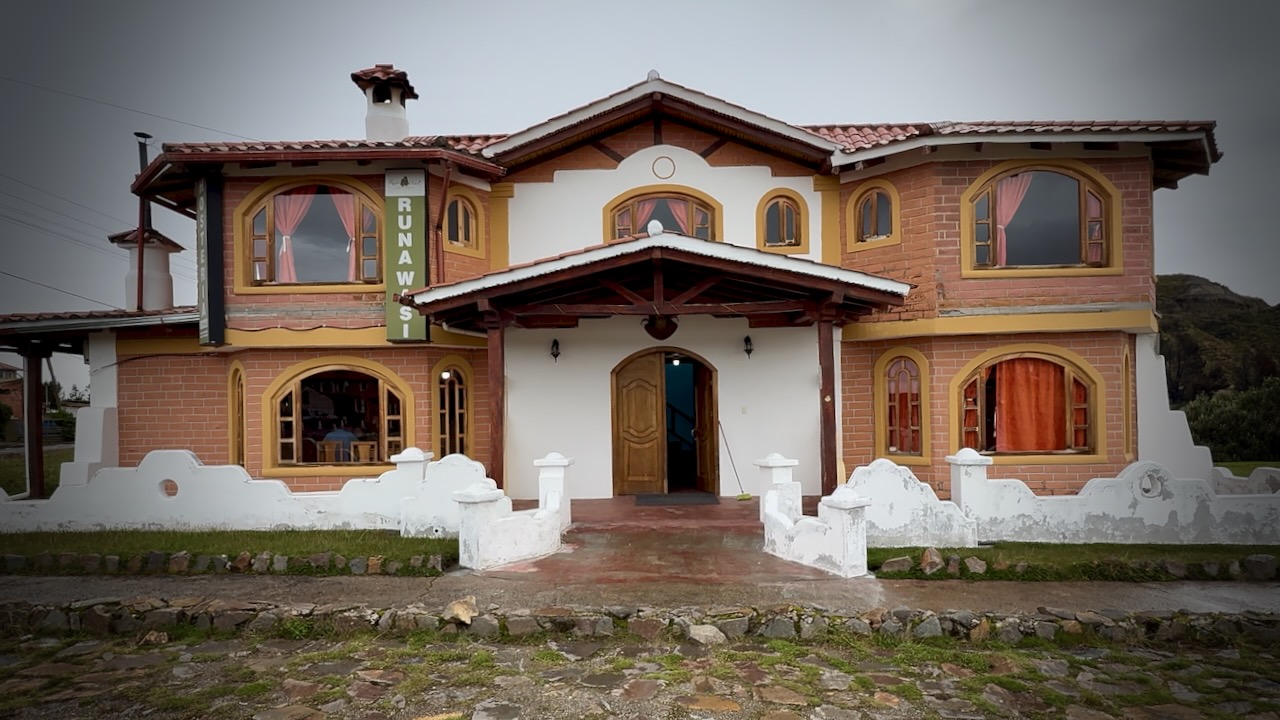
I was happy we decided to stay at Runa Wasi hostel. Classy, friendly accommodation.
By the end of day 3 you’ve gotten to know hikers on the same schedule. Celebration time.
Great food, as well.
Day 4
Breakfast as quick as possible ➙ then off while the weather was good.
The 10.8km Quilotoa Crater Circuit next morning took me 4-5 hours. An extra 795m elevation gain with MANY photo & video stops.
Quilotoa village.
After 3 days with a heavy load, I decided to chug a litre of water. Then speed hike the Circuit with no day pack.
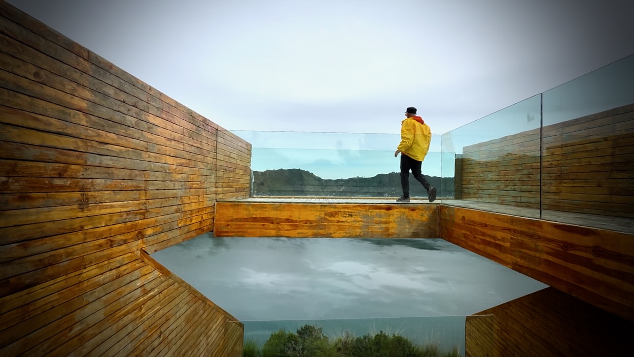
There are a number of viewpoints. This one with the glass floor the most impressive.
I’d decided to turn right from the village as this was considered the more difficult part. And I wanted to do it first in case of rain later. There is some scrambling.
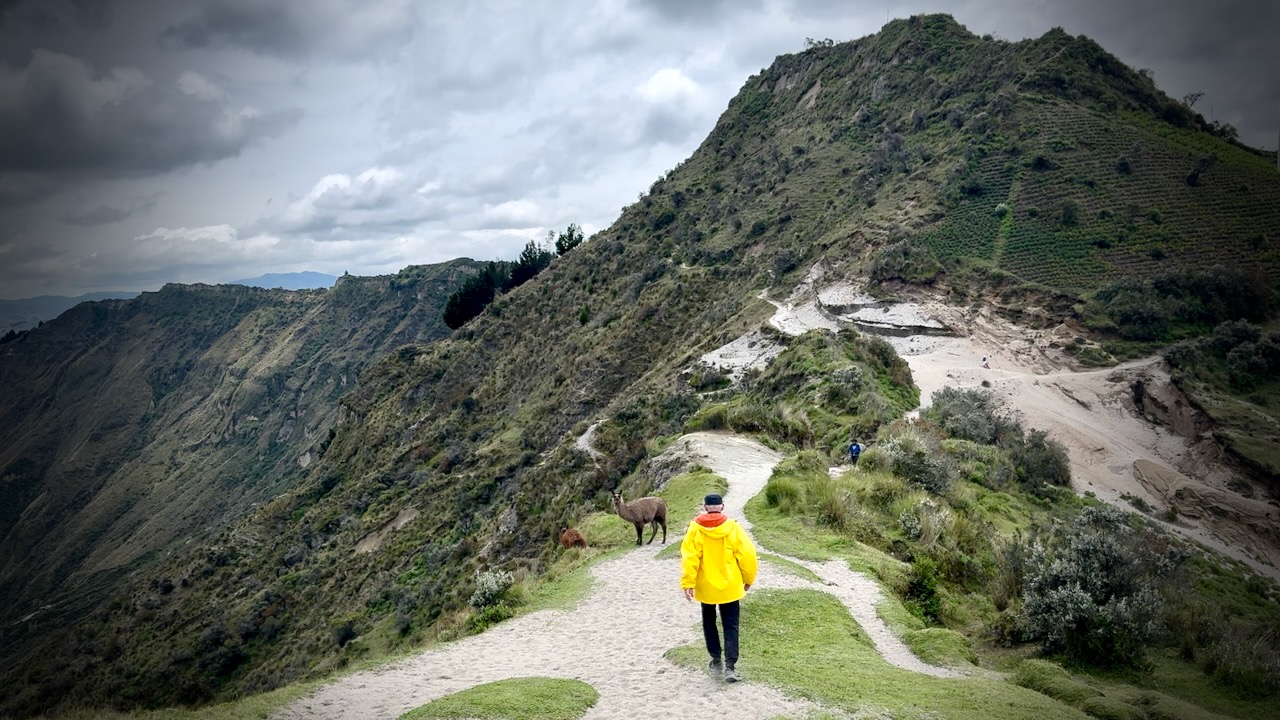
There are some random llamas on the rim. Village children ask $1 if you want to take a photo.
With no day pack, I made good time.
Weather excellent this morning. Though quite windy.
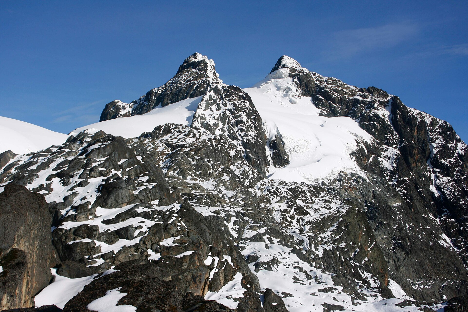
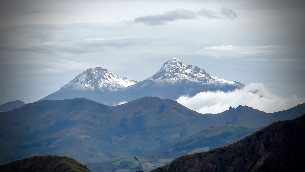
Good views of snow-capped volcanoes Cotopaxi and Chimborazo.
For me, this was the best hiking day.
You could drive or bus up to Quilotoa village and just do this Circuit.
I caught the bus back to Latacunga. And connected to Quito.
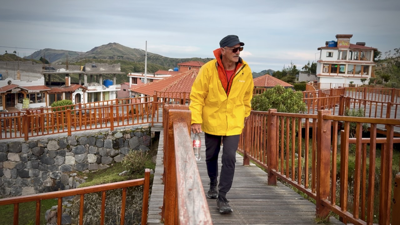
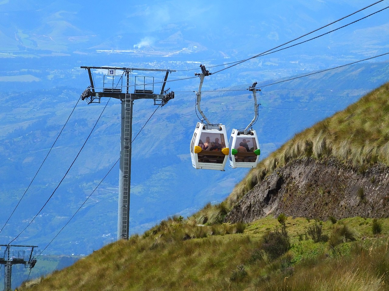
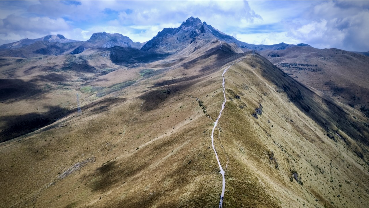
A terrific way to acclimatize to altitude from Quito is to take one of the highest aerial lifts in the world, rising from 3,117 m (10,226 ft) to 3,945 m (12,943 ft).
It’s called the TelefériQo. $9 ticket in 2026. Get there close to opening in the morning at 9 or 10am.
From the top, you continue up as high as you like.
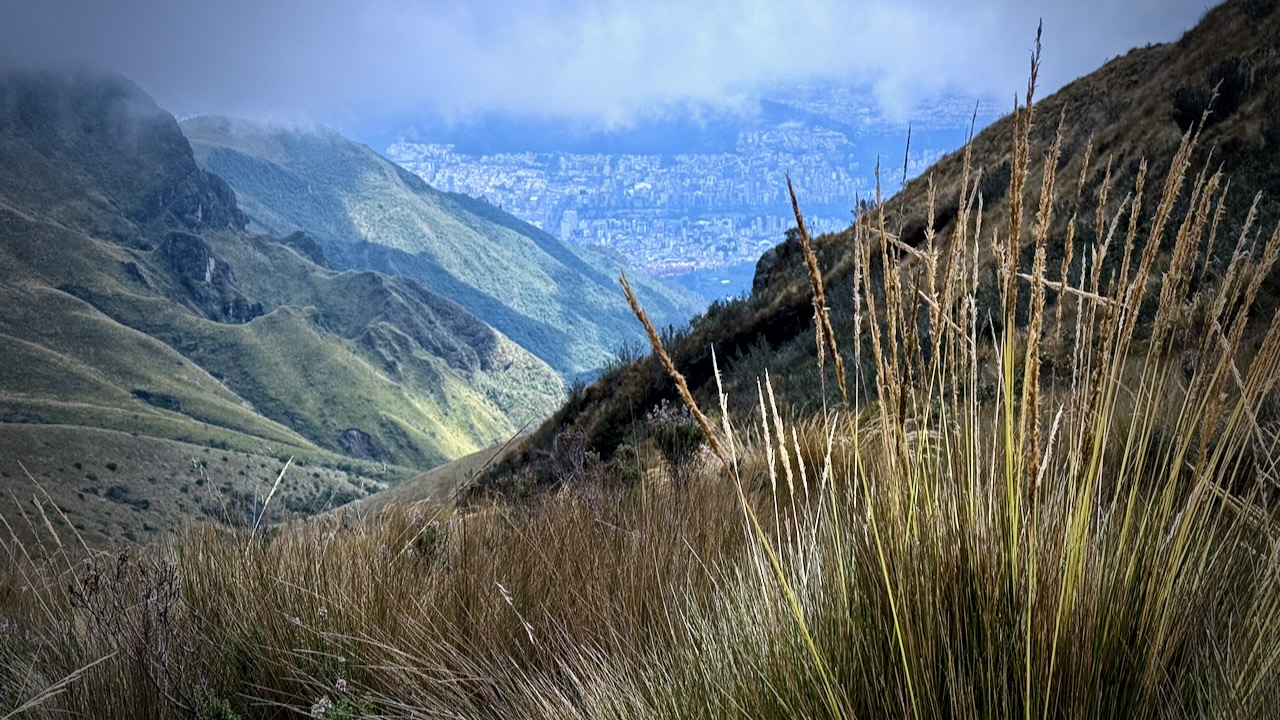
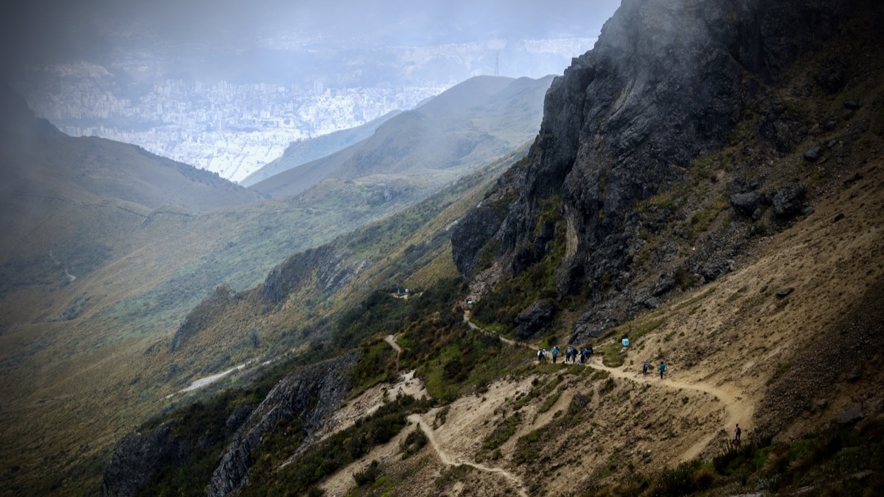
There are great views of Quito below.
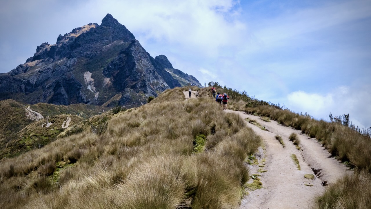
The trail is easy walking through grassland.
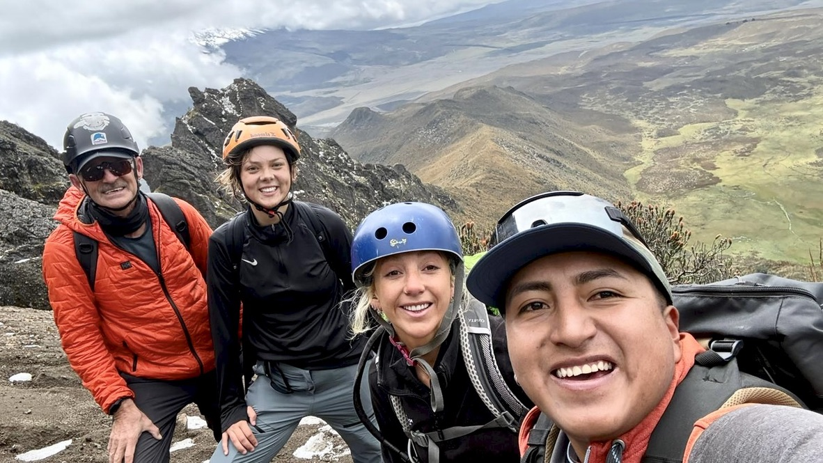
Ruku peak is 4,698 metres (15,413 ft) — but the top is a scramble. You might want a helmet.
At any time, clouds may roll in. It could rain or hail on short notice. The TelefériQo shuts down in high wind or hard rain, trapping folks up top until service can be resumed.
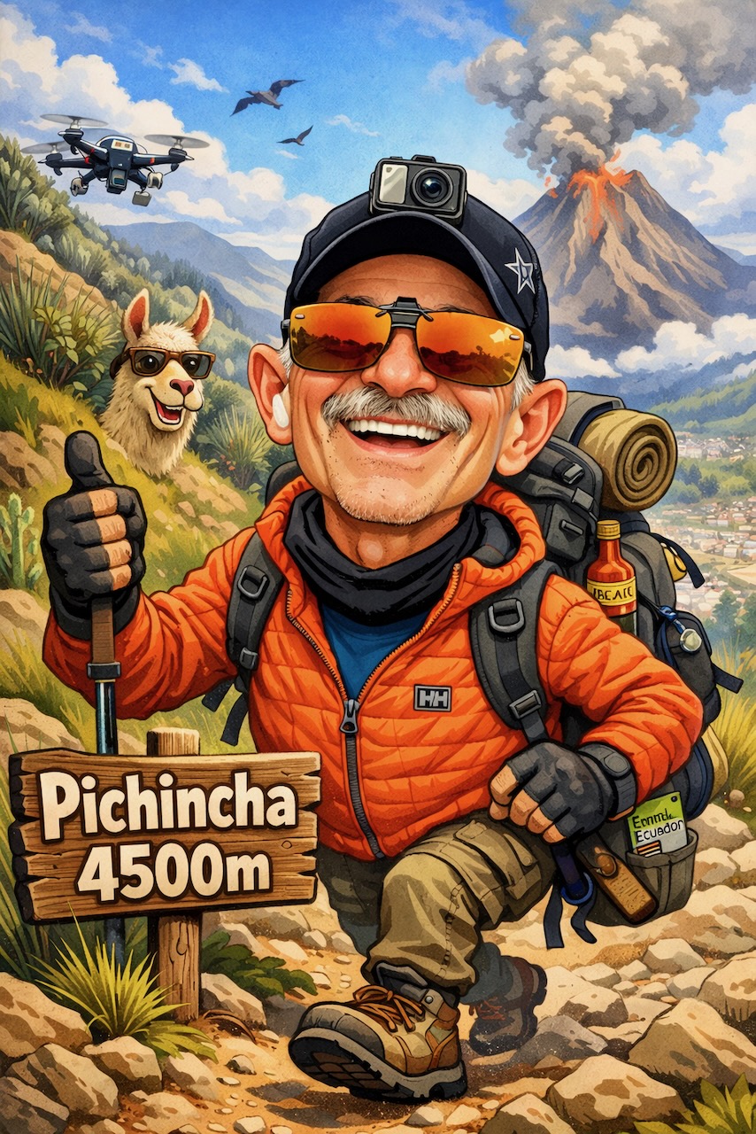
I ended up climbing to about 4500m.
Once it got too rocky, I stopped. Crashed my drone. 😀 And started down.
The two highest peaks of the mountain are Wawa Pichincha (Kichwawawa child, baby / small, Spanish spelling Guagua Pichincha) (4,784 metres (15,696 ft)) and Ruku Pichincha (Kichwa ruku old person, Spanish Rucu Pichincha) (4,698 metres (15,413 ft)).
Both peaks are visible from the city of Quito and both are popular acclimatization climbs. Wawa Pichincha is usually accessed from the village of Lloa outside of Quito. Ruku is typically accessed from the TelefériQo on the western side of Quito.