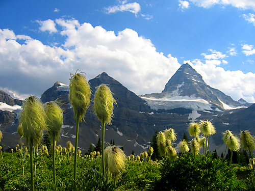
Spectacular vistas, frequent wildlife encounters, the best wild flowers we’ve ever seen. Hot springs, quaint mountain towns, perhaps the best long distance hikes on the planet.
There are options to scramble ridges and peaks virtually everywhere.
“You can’t lose in the Rockies.”
… so says contributor Rob Glaser who hiked here all his life.
Trails are safe and well managed. The infrastructure excellent. (In fact, it’s hard to imagine there are two regions in the world we rate better.)
The weather and conditions are variable to say the least, but in many parts of the Rockies Aug-Sept are the best months. A very short window! On the other hand, if you ski or board, you’ll never lack for adventure in the Rocky Mountains.
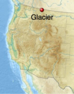
Just a short drive away is our favourite trail in the USA Rockies, Glacier North Circle, our #6 hike in the world. One of the best places in the world to see wildlife.
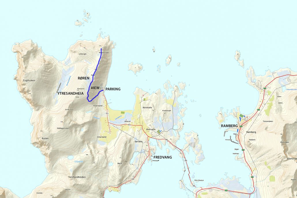
Røren / Ytresandheia is not so much a mountain peak, but rather a long flat ridge on the northernmost tip of Moskenesøy.
With only a small amount of elevation gain and a good trail, this short little hike provides fantastic views over the turquoise waters of Yttersand beach and across to the distant mountains of Flakstadøy. …
A collection of thrilling multi-day hiking trails in Europe for the offbeat adventurer, ranked easiest to most difficult. We starred our top recommendations. We also linked each trek to its trekking guide.
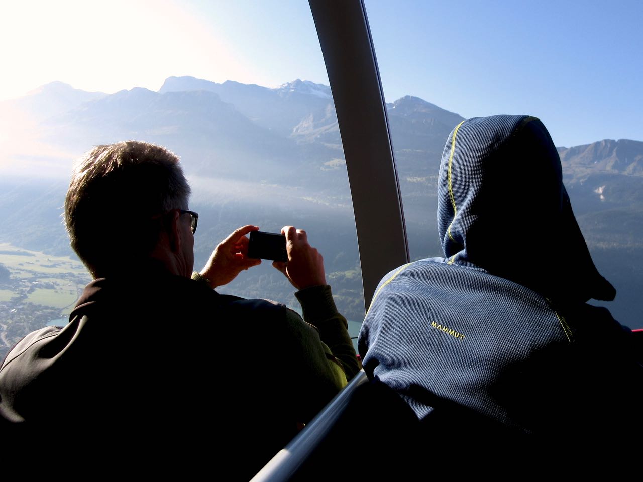
I got the chance to return in 2023. Booked 3 nights in Interlaken, Switzerland — hoping for good weather.
Weather report was good, not great. If rain or lightning looked likely, I would either descend on a side trail or backtrack to the start.
Happily, weather was mixed all day. No rain. No slippery trails. People have died hiking Harder Ridge. There’s not much exposure, but I could see it happening at a few spots. Especially in snow, ice, or mud.
dangerous
I took 10 hours on both my days.
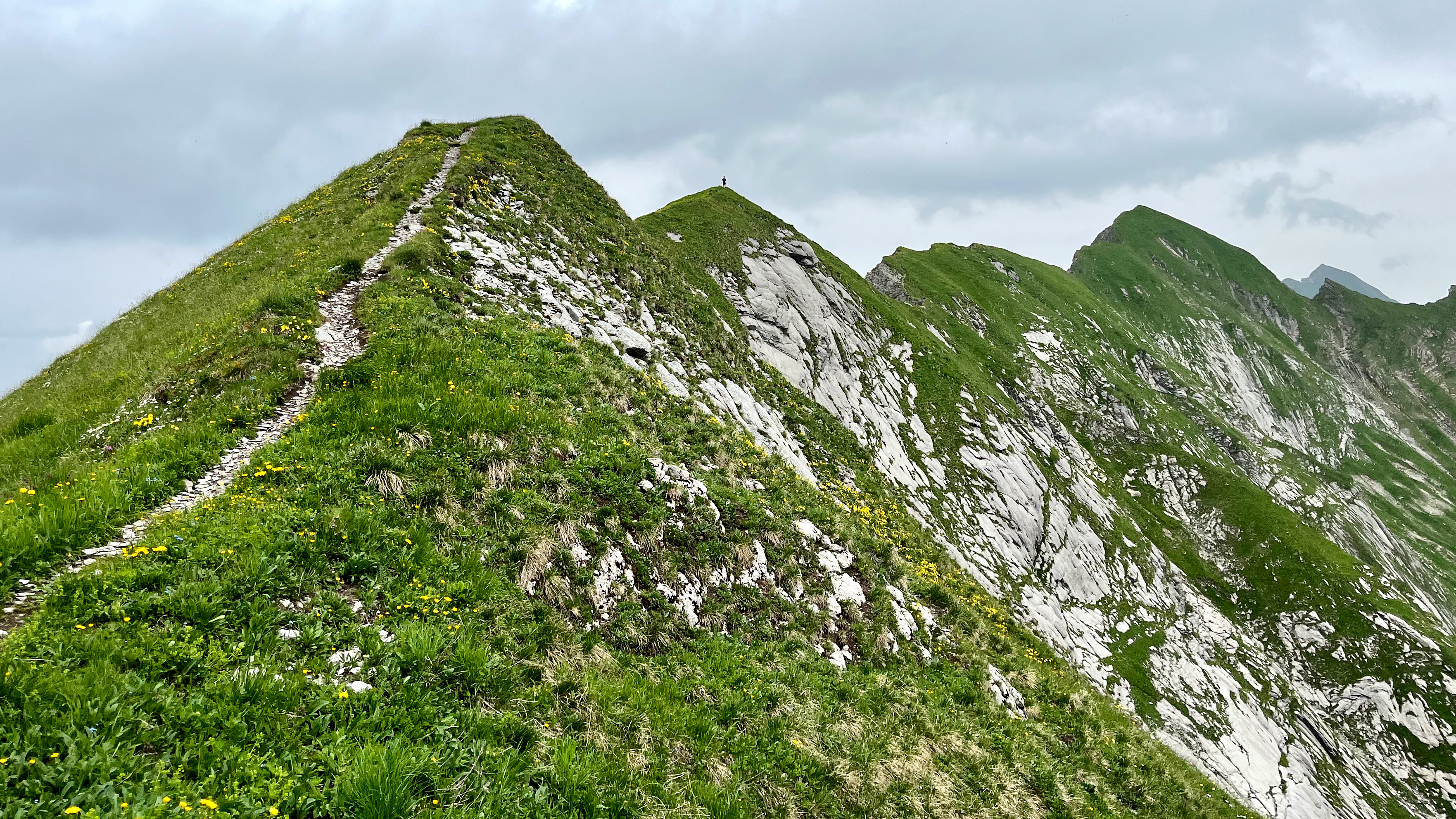
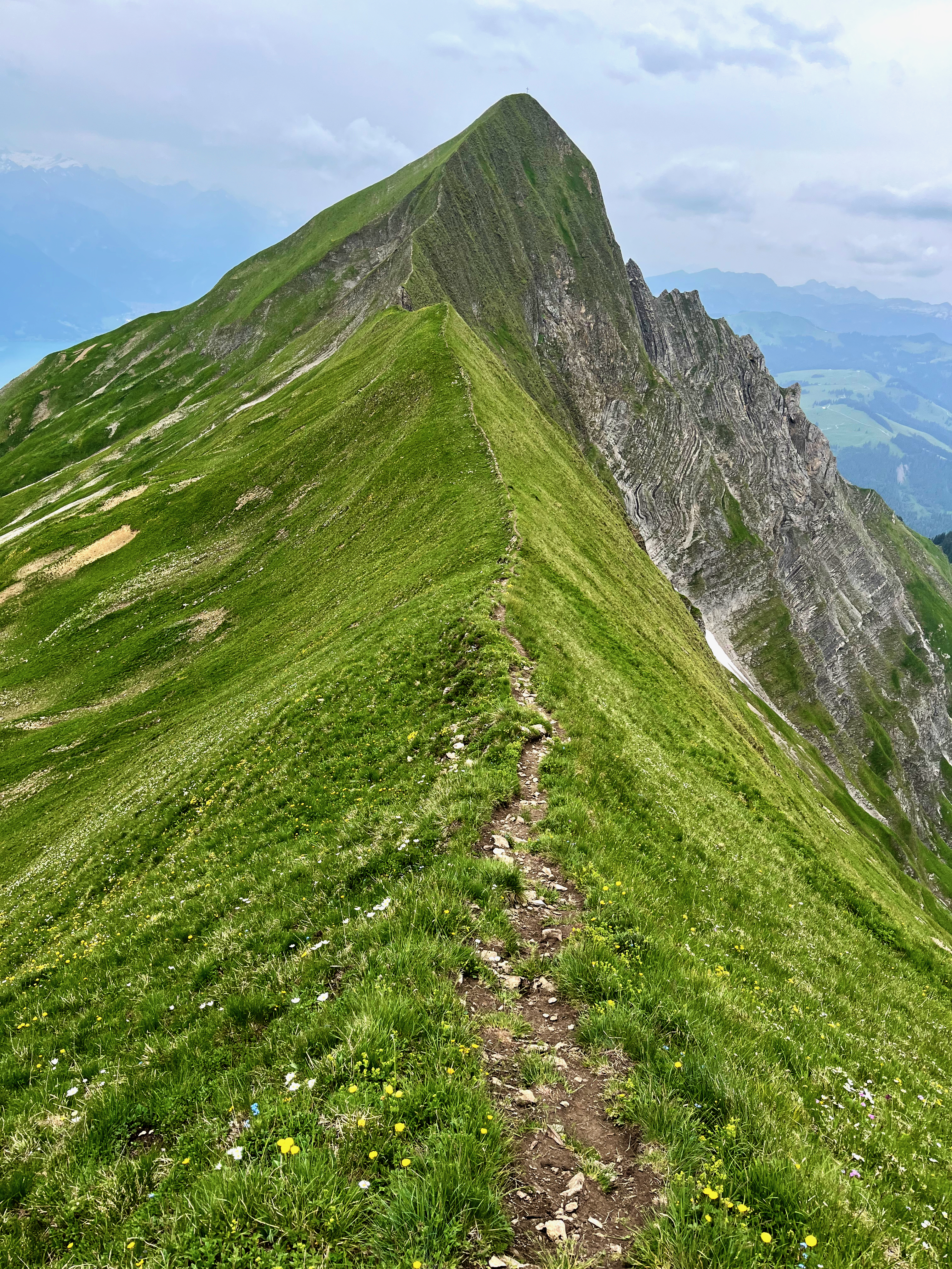
at least 18km on sharply defined ridge
should absolutely never be attempted when wet
some scrambling required
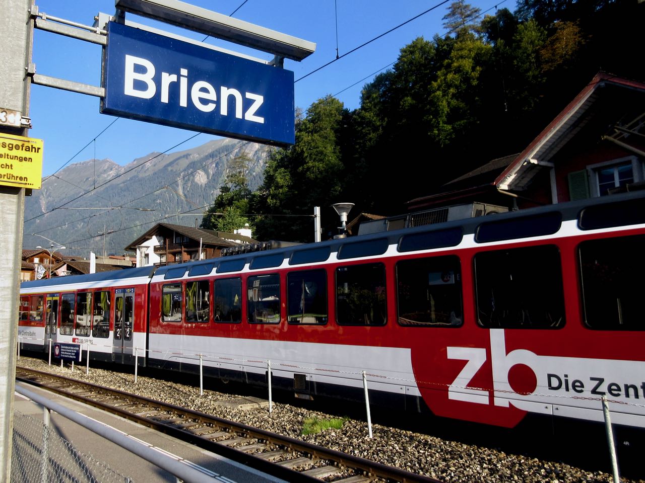
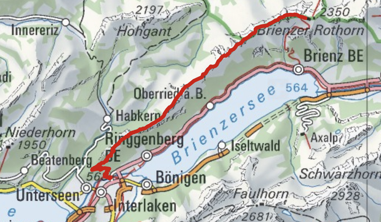
Brienz to Interlaken with motorized assistance getting up to and descending from the ridge
Don’t hike the other direction. Logistics are easier starting in Brienz. And it’s safer as the last 2 hours (when your legs are tired) is on easier trails.
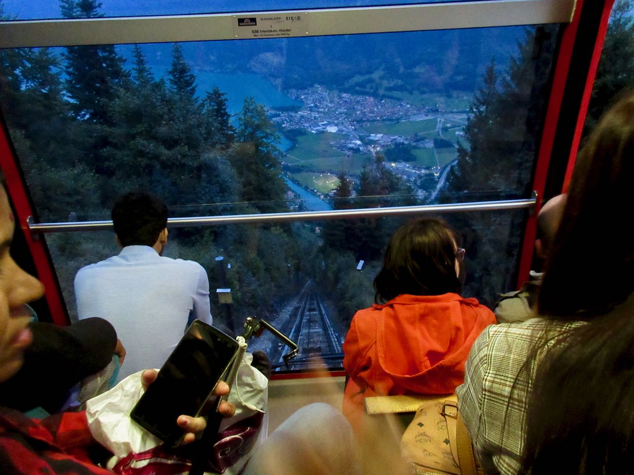
Every half hour a train runs from Interlaken to Brienz.
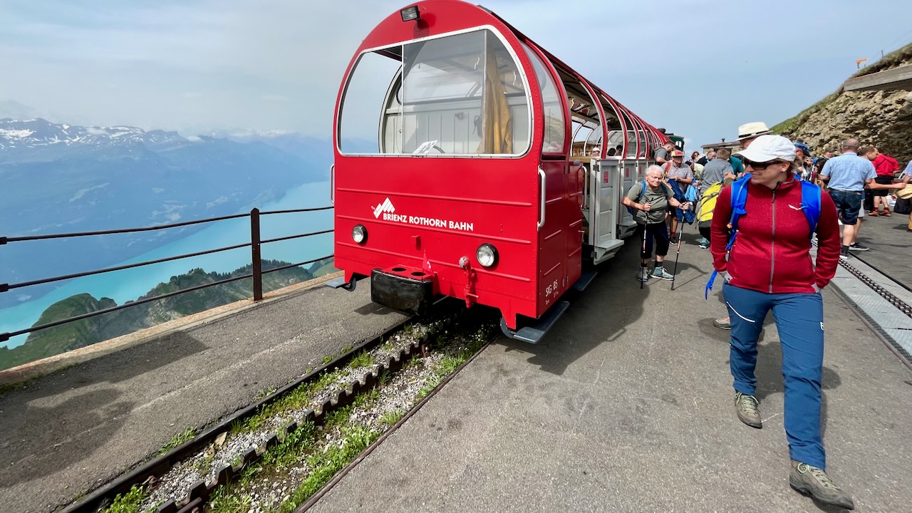
Across the street from the train station is the historic steam train from Brienz to Brienzer Rothorn Station. It’s been making this run since 1891.
It takes an hour to get to the top of the ridge 2351m.
Most visitors do a short ridge walk from here. And take the steam train back down to Brienz. Very few attempt the full Harder Ridge. It IS popular with trail runners.
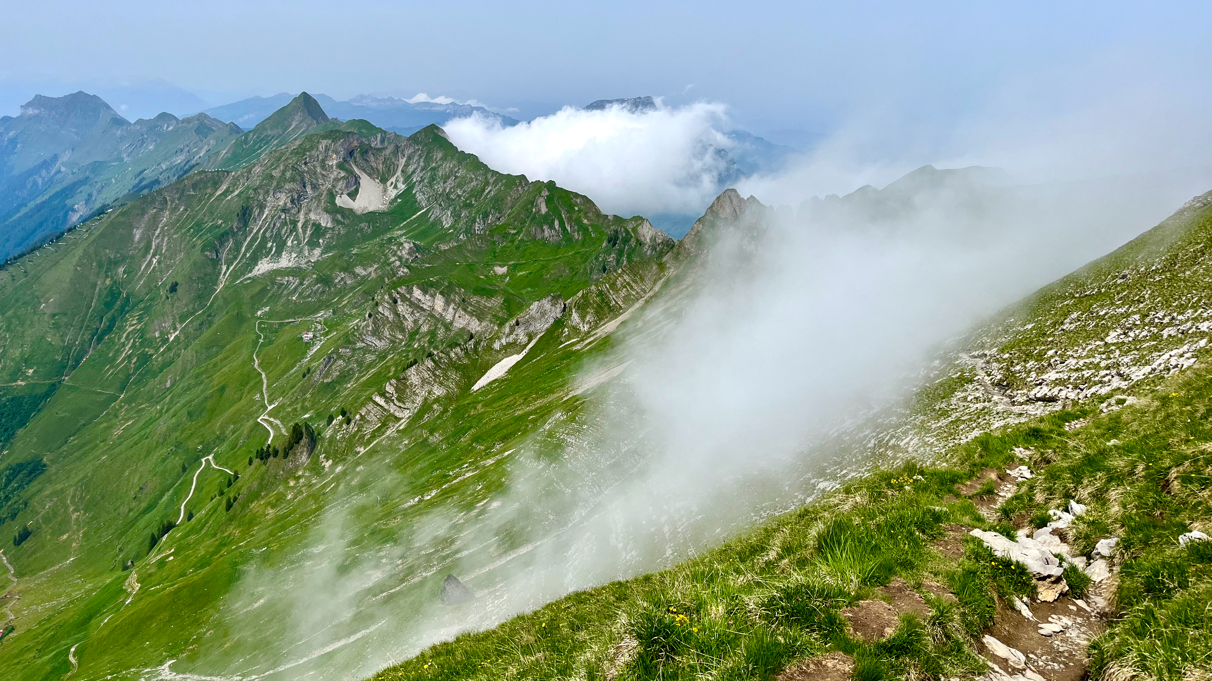
A bit foggy on arrival. Bit of a worry.
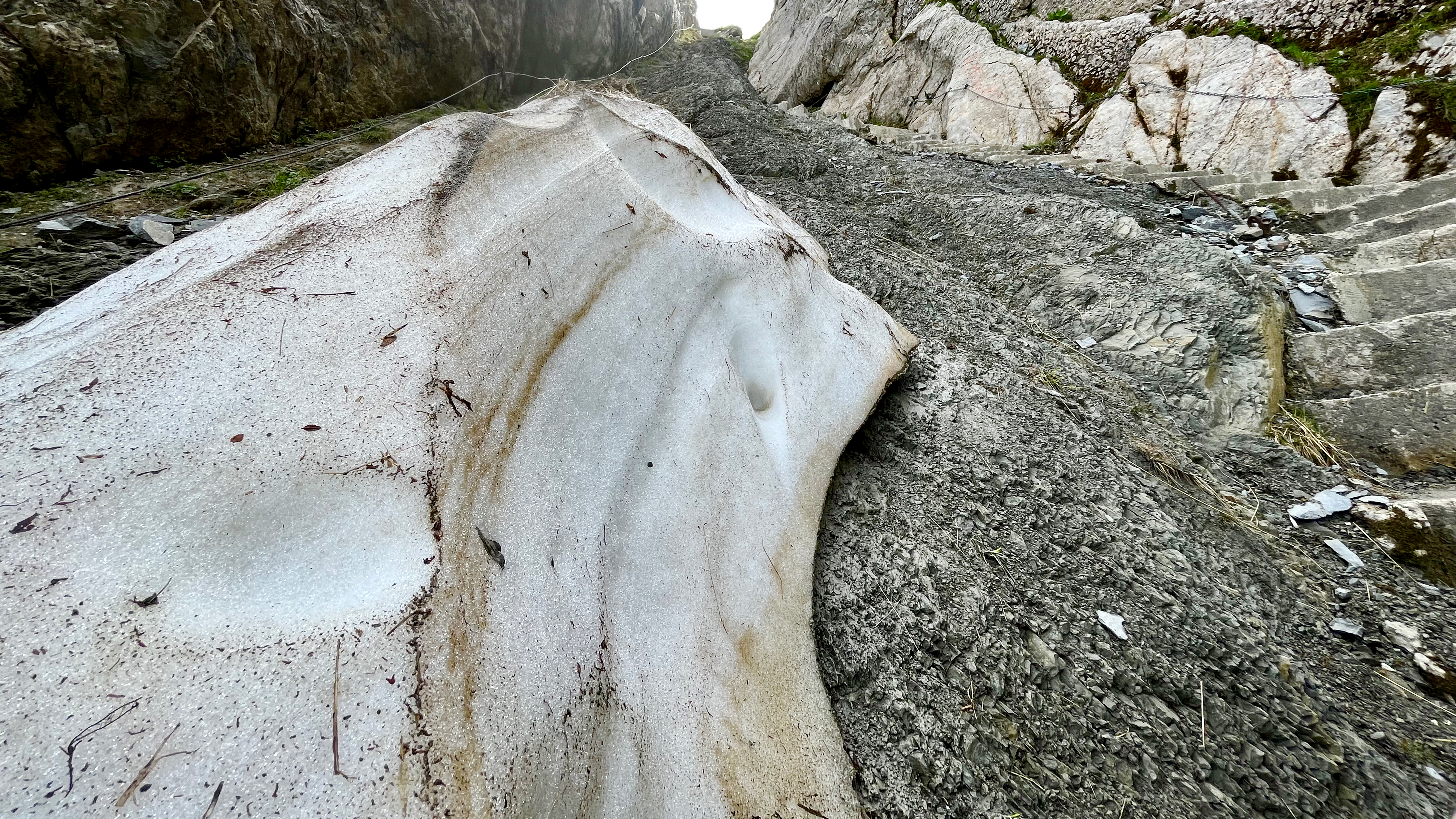
This is NOT an official trail. You’ll see warnings.
This first half is unsigned. But you can’t get lost as the trail stays as close to the ridge top as possible.
Early on there is a technical section with stone steps and cable hand assist. It could be tricky when completely covered with snow.
I thought I’d be faster my second time. NOPE. It still took me 10 hours though I tried to move quickly with only short stops for photos and video.
At times you’ll wonder if that next climb is even possible. It is. 😀
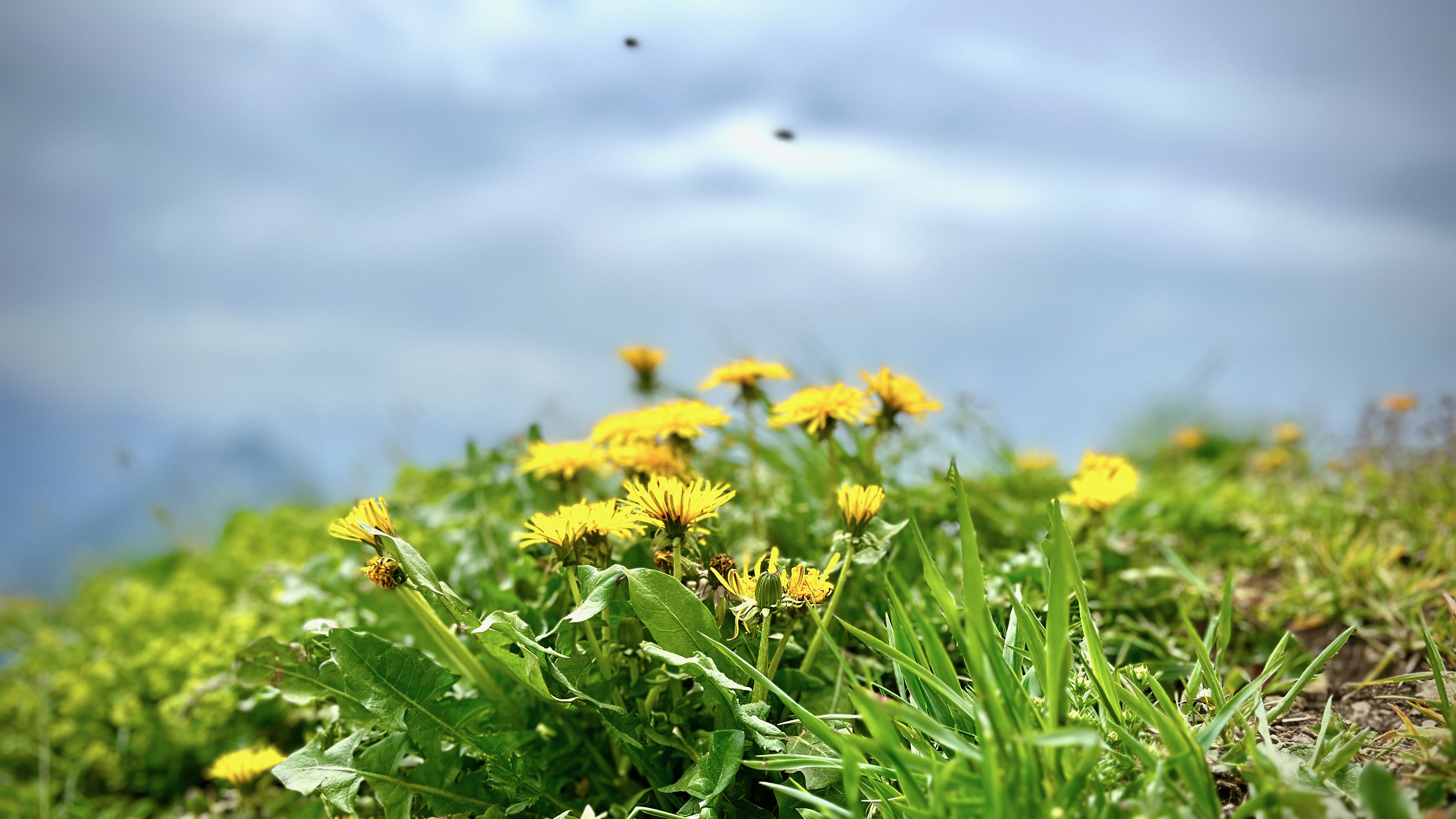
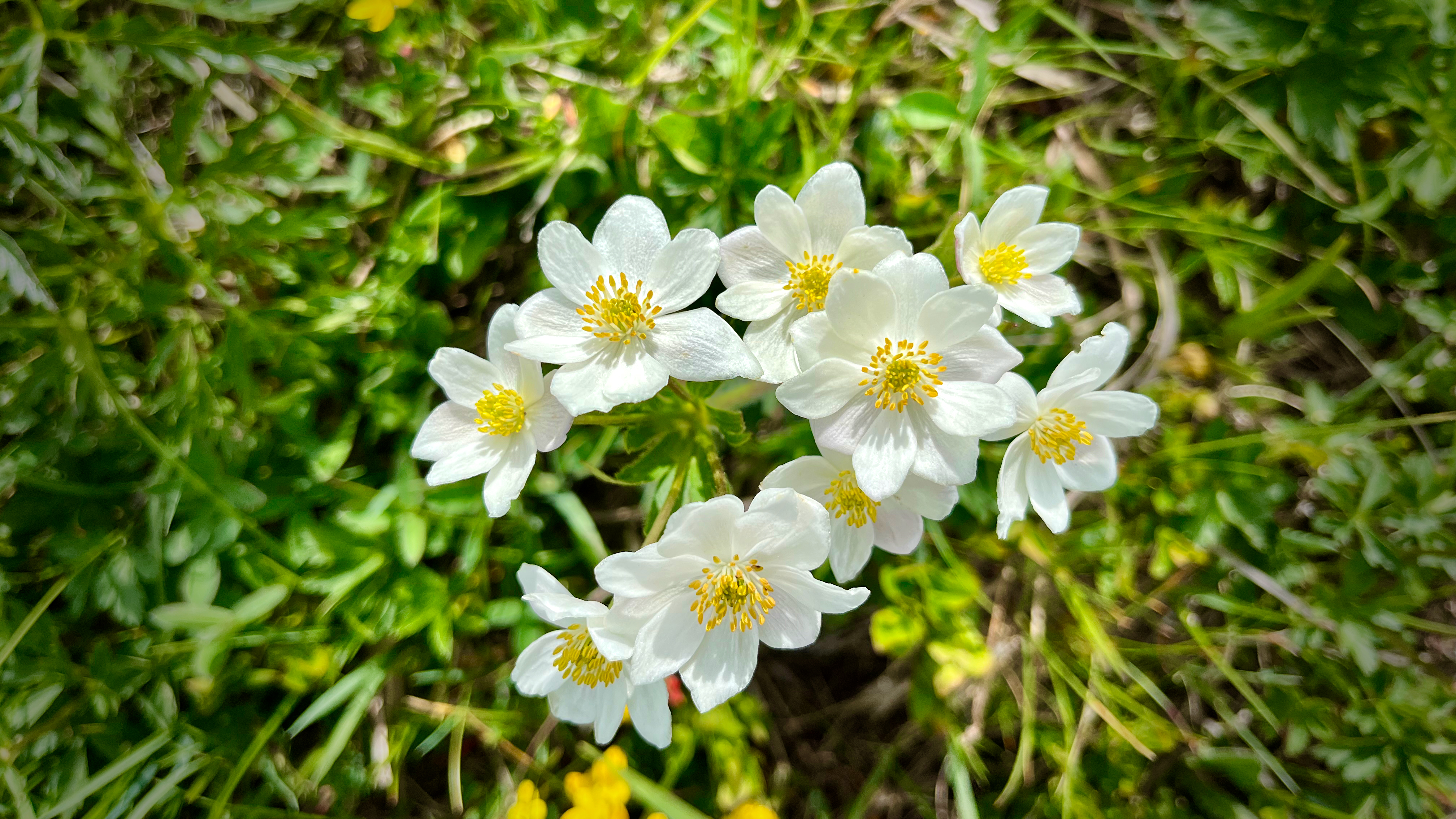
There were plenty of wildflowers. Plenty of insects end of June.
This is a great hike to carry a drone.
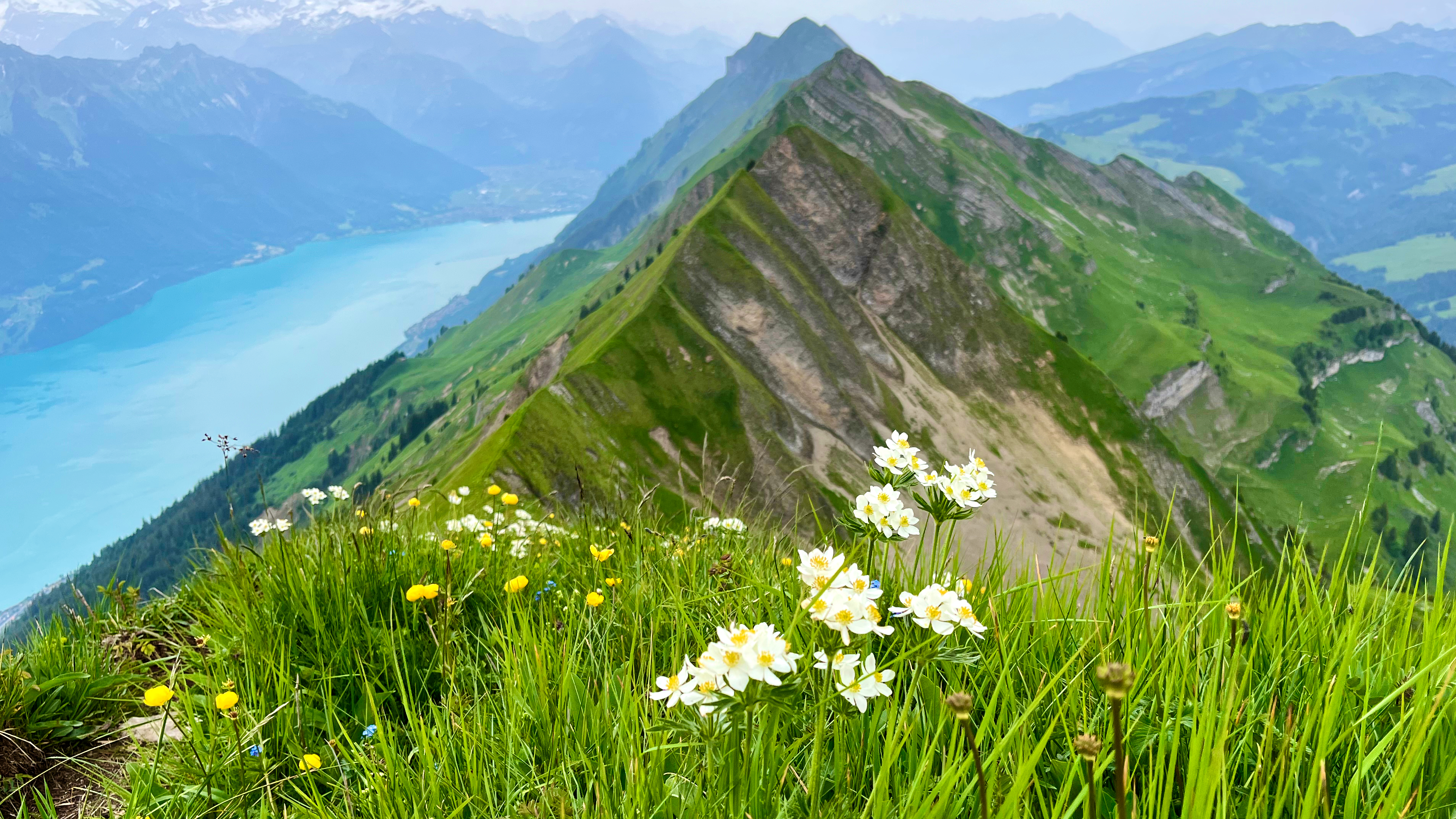
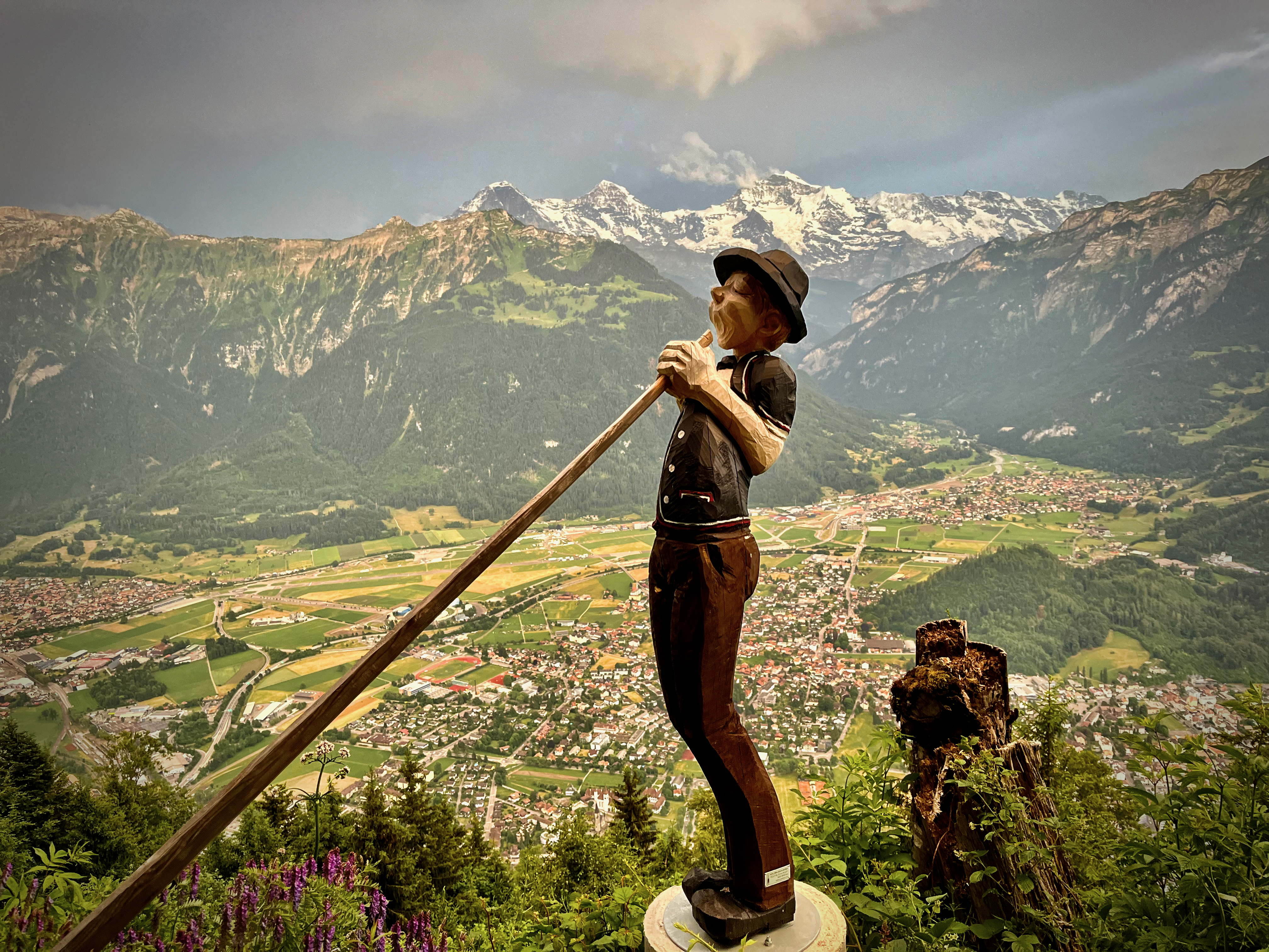
It was hazy. But I still had good views of the big peaks across the lake.
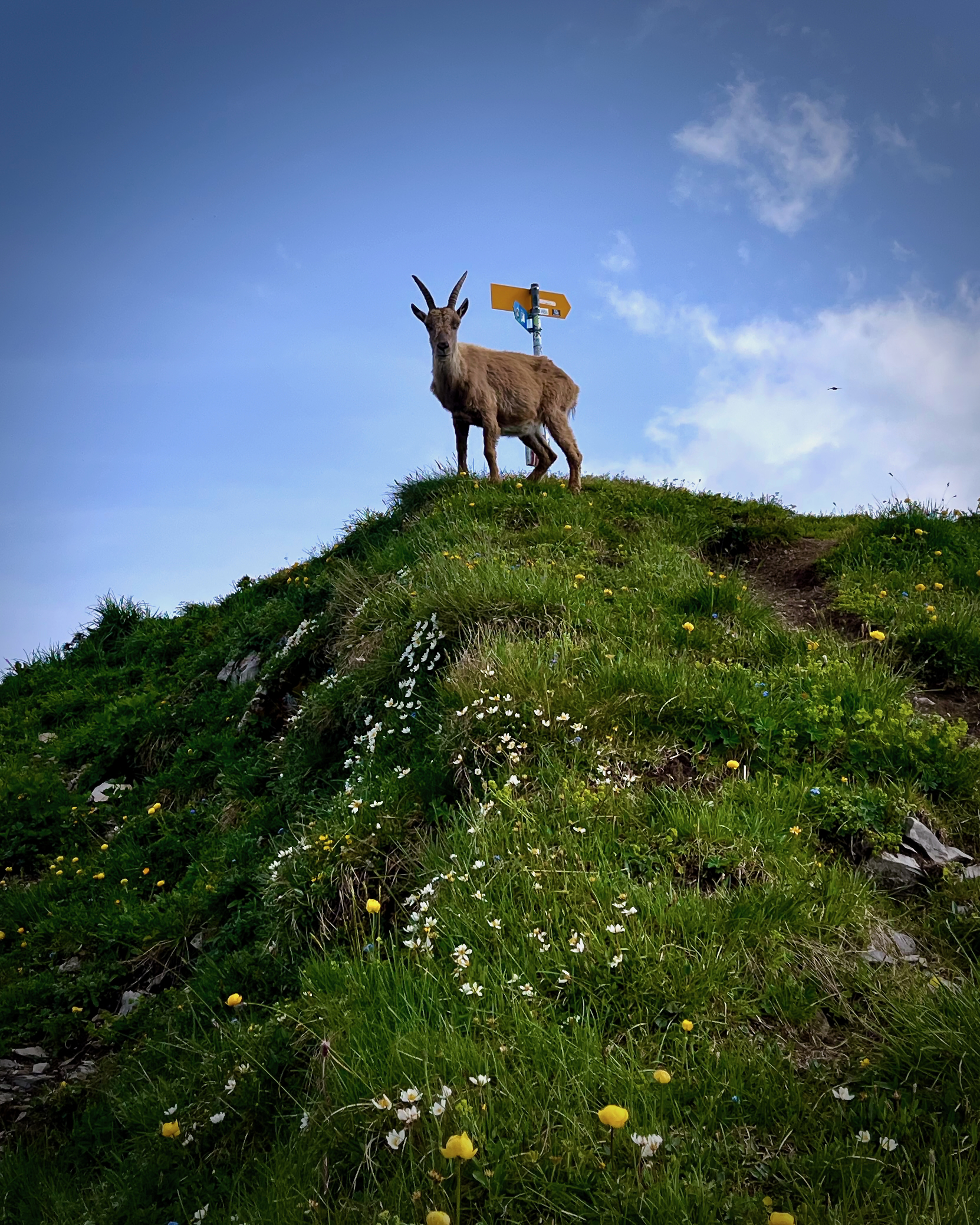
The first time here, I was disappointed not to see any Ibex. This time mama blocked the trail for about 10 minutes. She had two little ones with her so I was cautious in making my way past.
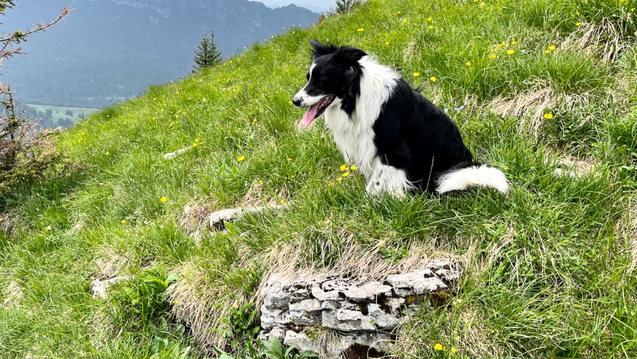
I wouldn’t recommend bringing a dog on this one. There are too many sharp stones.
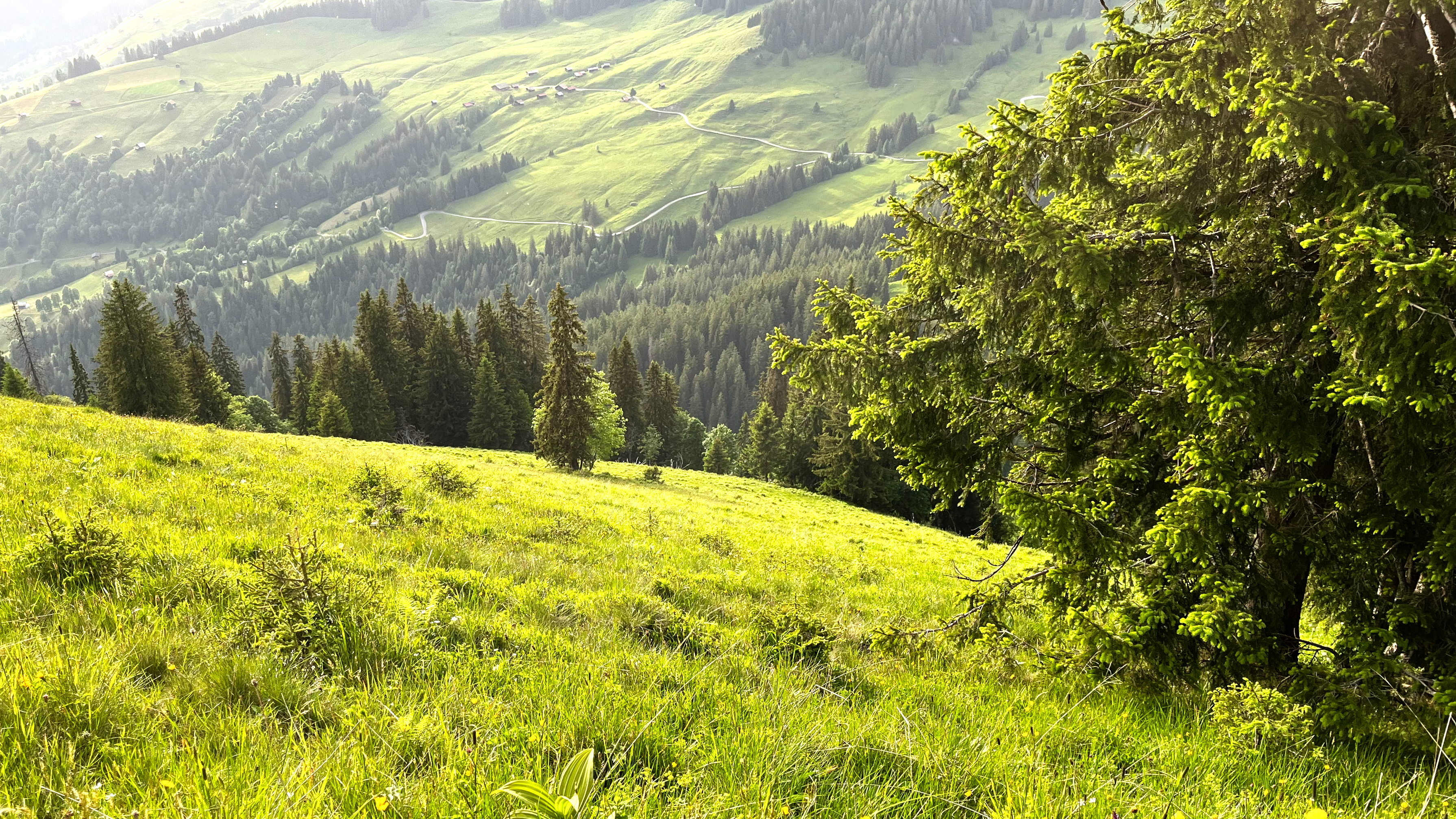
The final 6km are in the trees and it’s a relief to finally reach that section.
Both times — however — I found I was no faster here than on the naked ridge.
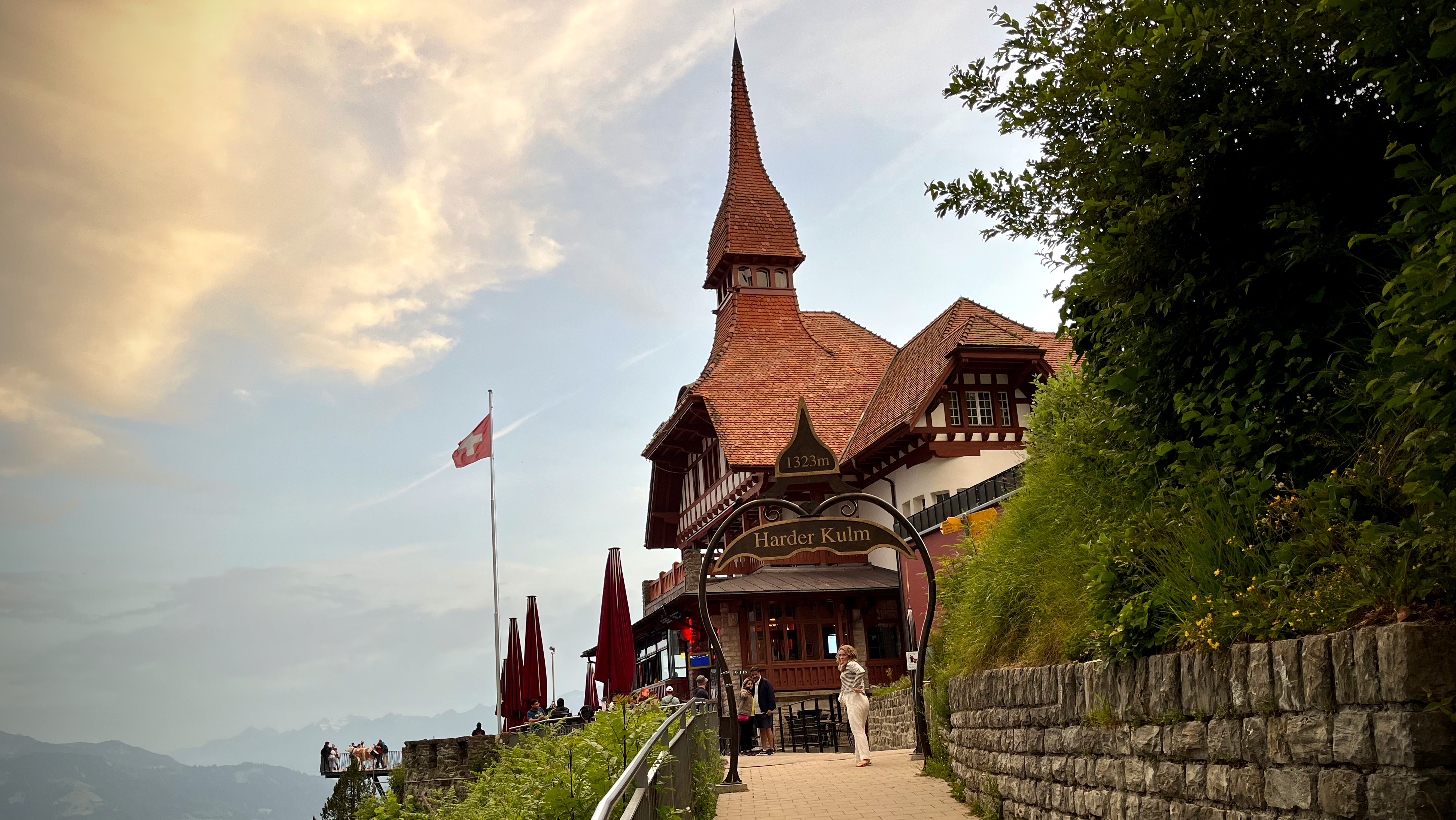
I was still worried about making the last funicular down from Harder Kulm. End of June it left at 9:45pm. I was on the last one.
It is fantastic to be delivered right back to Interlaken after 10 hours on foot.
Montfort Castle Loop from הפצמ הליה, Upper Galilee, Israel
Cecilia Waterfall via Cecilia Forest, Table Mountain National Park, Cape Town, South Africa
Inca Trail (Mollepata), Aguas Calientes, Peru
Huayna Potosi, La Paz, Bolivia
Mt Rosea Loop, The Grampians, Halls Gap, Victoria, Australia
Dschelada Pavian Loop from Gich, Simien National Park, Ethiopia
Annapurna Circuit, Besi Sahar, Nepal
Kilimanjaro, Lemosho Route, Arusha, Tanzania
Like most of these meaningless lists, it’s effective in getting me thinking about future hiking trips. I looked up the Birtvisi Canyon Viewpoint and Ruins Hike, for example, but found it’s only 1.8-km long.


