Kiss Or Kill: Confessions of a Serial Climber

Just finished reading one of the weirdest and wildest outdoors books.

Not sure whether his prose pieces are the insane ramblings of an arrogant egomaniac. Or genius insight.

KISS OR KILL

Sit back and join the ride with this collection of edge-of-your-seat climbing stories by Mark Twight aka Dr. Doom. “Somewhere out there somebody understands these words and knows they matter. They were written in blood, learned by heart.” –Mark Twight
– BANFF award-winner

Extreme climber. Extreme writer. Extreme personality. No matter what he’s doing, Mark Twight takes a definite, and often controversial, stand. Anyone who knows climbing knows Twight’s name, and anyone who knows Twight’s name will want to read this book. Each story is told in Twight’s taut, in-your-face style. Brand-new epilogues bring each piece full circle , providing updated information and fresh, hindsight perspectives.
Amazon

Twight
about Mark Twight

Born on November 2, 1961 in Yosemite National Park, California, Mark Twight rose to prominence in the world Alpine mountaineering community in the late 1980s and early 1990s with a well-documented series of difficult, dangerous alpine climbs in various ranges around the world.

He made the first ascent of “The Reality Bath” on the White Pyramid with Randy Rackliff, which is unrepeated and described by Canadian Rockies guidebook author, Albi Sole as “so dangerous as to be of little value except to those suicidally inclined.”

… Twight was nominated for the Piolet d’Or twice during his career, in 1993 for “Beyond Good and Evil” and 1995 for “Deprivation”.
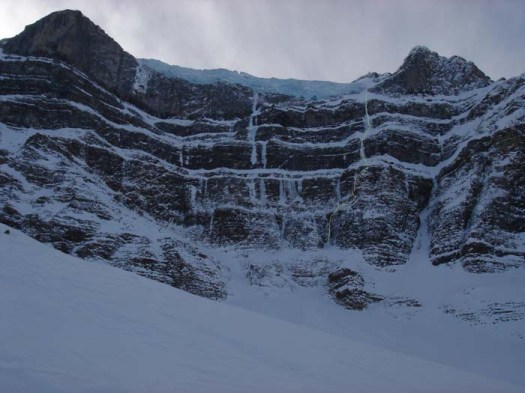
Reality Bath is somewhere centre on this wall

Publishers Weekly:

From Chamonix to the Himalayas to Peak Communism in the Pamirs, extreme climbing has been Twight’s response to “stupidity and mediocrity” and at times it is even “a tool to forestall suicide.”

Following Extreme Alpinism, this volume collects more than 12 years of Twight’s extreme outdoor journalism for such magazines as Climbing, Outside and Men’s Journal.

Punk rock lyrics pepper these essays, providing context and form for his rage, cynicism and obsessive, masculine drive.

Avalanches, rotten ice, the deaths of fellow climbers, the rescue of others, dwindling food supplies, lost tents at 18,000 feet Twight survives mortal dangers and tragedies, writing, “No matter what I did, the suffering I experienced did not satisfy me. I had to have more.”

Twight’s in-your-face style is both his strength and his weakness fans of Henry Rollins or Charles Bukowski may find a sport nut analogue in Twight. Deeply personal, arrogant, grandiose, thrilling and unapologetic, this record of his 15-year career will gratify and repel extreme athletes, their admirers and their detractors.
Andrew Pleavin
Andrew Pleavin

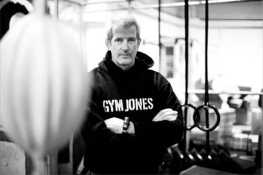
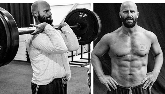
Mark Twight is the founder of Gym Jones, where he trains athletes, military personnel, and others for whom fitness goes beyond appearance. At Gym Jones Twight and fellow trainers and coaches work with everyone from NFL players to MMA fighters, Brazilian Jiu-Jitsu competitors (a half-dozen Pedro Sauer black belts work and train there), bike racers, rock and mountain climbers, and a variety of ultra-endurance athletes. …

In 2005 Twight trained the cast and stunt crew for the movie 300. … The training was difficult, Twight pulled no punches, refusing to differentiate between actors, stuntmen, or athletes. After being told the details of a day’s workout Andrew Pleavin said, “It feels like you just killed my dog.”

One training regimen that his crew underwent in the movie came to be known as the 300 Workout, spawning many variations by other fitness personalities and trainers.
EEOR – East End of Rundle hike

trip report by site editor Rick McCharles

Canmore, Alberta in the Canadian Rockies

Elevation (feet): 8500
Elevation (meters): 2530

Difficulty: Scramble

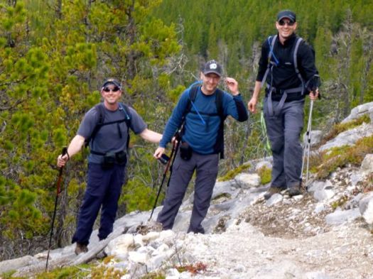
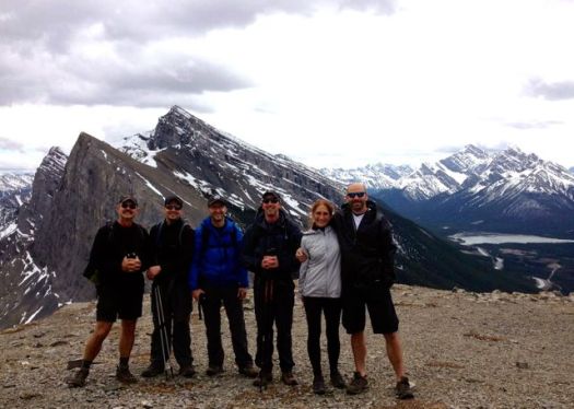
Kelly lives in Canmore. Ray and Mark from nearby Calgary often join him for hikes.

P1290430

Sue, Steve and myself rendezvoused at the trailhead. May 24th, this was the first really good weekend for hiking out of Canmore.

EEoR
Steep and longer than I expected
, the only major difficulty comes at the very top.

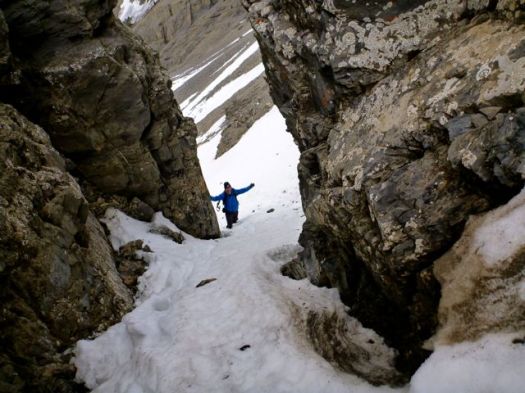
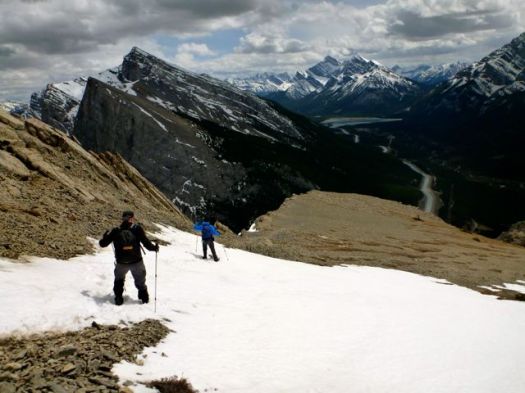
Kelly, our fearless leader, decided to post hole us up this snow chute.

P1290447

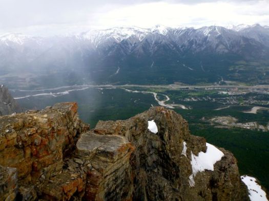
On top we got a good view of Canmore in the Bow River valley. It started to snow.

P1290456

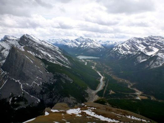
Spray Lakes Road.

P1290459

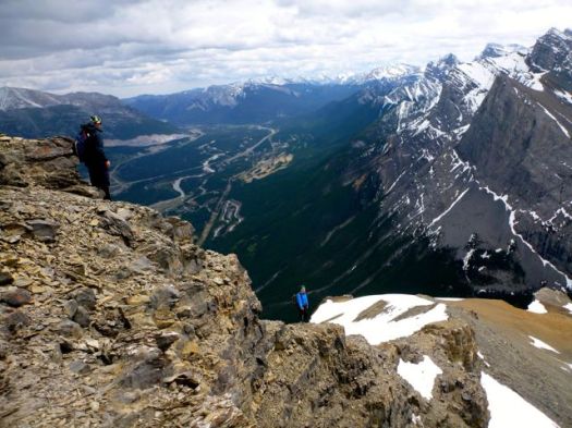
We opted to descend on the precarious looking ridge.

P1290466

It’s not nearly as exposed as it looks.

Some snow. We were happy to have brought gators.

P1290477

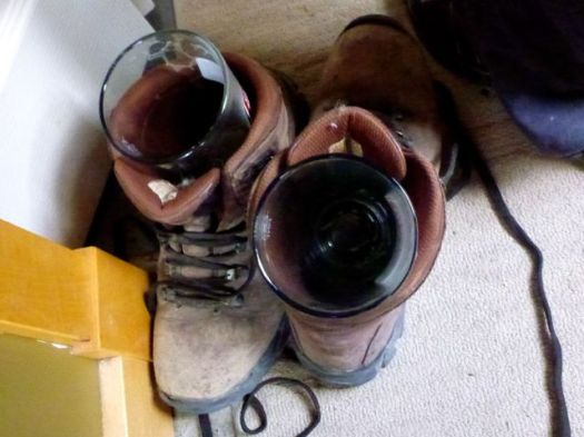
Our over ambitious original plan was to run up adjacent Ha Ling Peak from the same parking lot. … Instead we headed for the pub. FREE glass with a pint of beer. 🙂

P1290484

more photos

Getting There …

… You are almost guaranteed mountain sheep on the Spray Lakes Road. … There are restrooms at the Goats Creek Trail head parking area.

Red Tape- There are no permit requirements to enter, climb and/or park in Banff National Park or Kananaskis Provincial Park. This is active grizzly country however. Take bear spray. …

Peakware

Insta-Fire

Insta-Fire is a safe, simple, and versatile product that starts fires quickly. With its water-repellent properties, fifteen-minute burn time, and thirty-year shelf life, Insta-Fire is sure to be your new favorite fire-starting tool. Use Insta-Fire to light campfires, prepare charcoal briquettes, or as a safe and reliable fuel source for cooking while camping or in emergencies. …

instafire.com

5 gallons costs $69.99

That’s a lifetime supply for this hiker. I won’t need any more of my home made “paraffin in an old cardboard egg carton“.

Click PLAY or watch it on YouTube.

Paine Circuit, Chile

Mike Howarth posted another of his terrific adventure photo journals, this time the famed Paine Circuit in Patagonia.

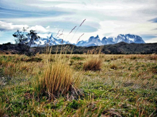
… Away from the majesty and spectacle of the W circuit, the southern half of the Paine Massif offers something completely different, a peaceful beauty. As the trails widen and birds chatter I remember why I am here. …

Paine

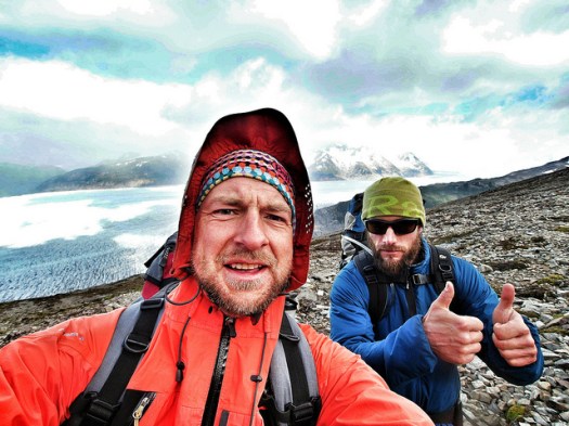
We stumble over the Paso John Gardiner like two drunkards buffeted by the wind. Laughing and whooping at the ferocity.

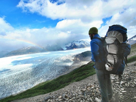
Glacier Grey

Afforded amazing views down to Glacier Grey and the Southern Patagonian Ice Field stretching off in to the distance.

Justin

read the trip report – Torres Del Paine – The Full Circuit

hiking/biking Annapurna day 5

by site editor Rick McCharles

I “slept-in” until 5:13am.

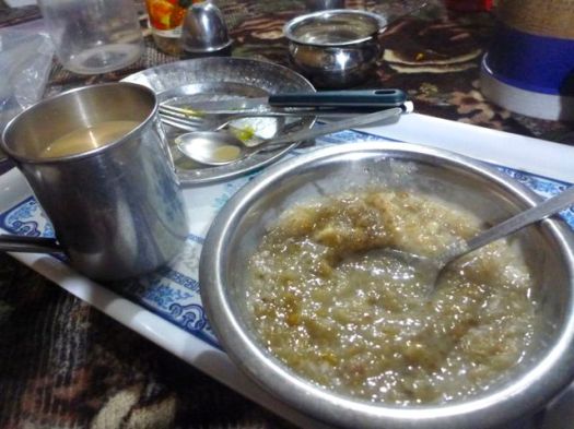
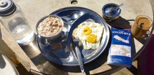
Enjoyed a hot breakfast.

P1260346

Many had already left, headlights bobbing up the mountain in the dark, worried about wind on the high Pass.

My plan was to leave late. To wait for the sun.

P1260347

I felt great. Had slept warm on 2 mattresses, with 2 extra blankets provided by the guesthouse.

On Manaslu I felt it was a mistake to start hiking in the dark. This time I’d wait to start until no headlamp was needed.

P1260364

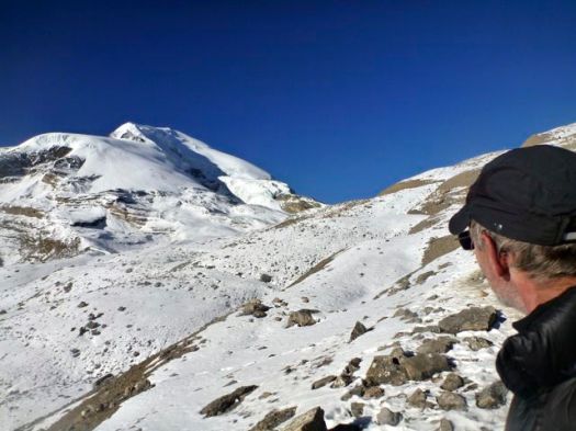
It got bright in no time. I’d heard that Thorung La was higher, but easier than Larkye La on the Manaslu.

P1260368

We made good time.

P1260375

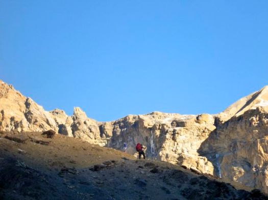
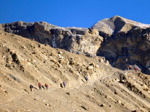
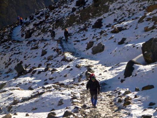
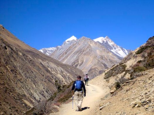
On reaching the snow line, some guides and hikers were worried. For me — a Canadian — this was like walking to school.

P1260376

P1260379

No problem.

P1260386

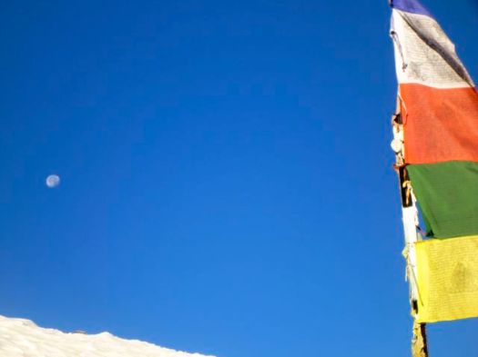
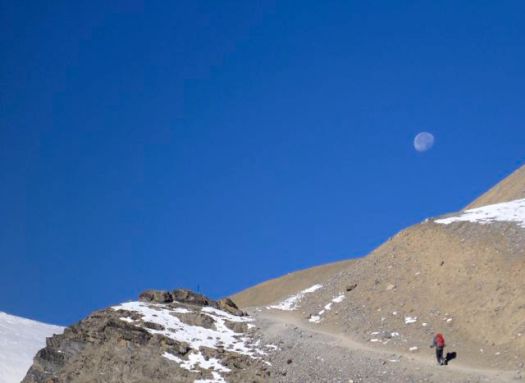
The moon was gorgeous.

P1260389

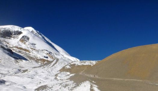
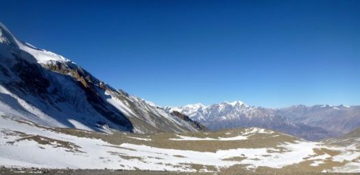
Love this bleak landscape.

It’s a surprisingly long way from Thorong Phedi to the Pass. About 1km in elevation gain.

P1260401

But when the weather is good, you can walk it with your hands in your pocket.

P1260402

The Annapurna 8,091m (26,545 ft) massif is huge and complex.

… thirteen additional peaks over 7,000 m (22,970 ft) and 16 more over 6,000 m (19,690 ft).This section is a 55 km-long (34 mi-long)  …

I couldn’t keep track of which huge mountain I was looking at.

P1260408

No wind. 🙂

Even the 7000m peaks had no spindrift.

P1260406

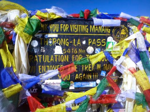
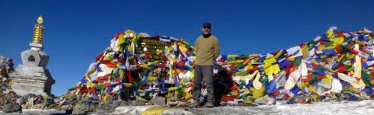
I left a Summit Stone in thanks for safe crossing.

P1260419

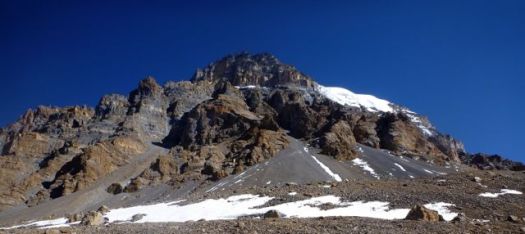
I’d once heard you could scramble a peak (illegally) from Thorung La. But it doesn’t look easy.

P1260426

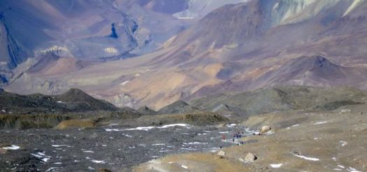
The other side of the Pass looked even simpler than the ascent. It’s longer though.  About 1.7km of net vertical lost.

P1260412

And even more Tibetan plateau. I love these colours.

P1260427

A guide told me this was the “road” under construction climbing up and over Thorung La. We agreed that it was a mistake to take motor vehicles over the top.

P1260447

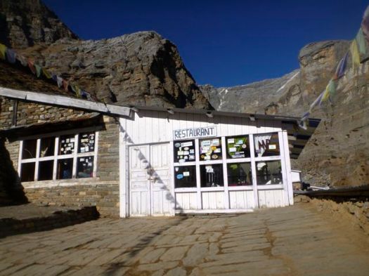
Everyone celebrated on reaching a series of small restaurants. For me it was my favourite soup, noodle with egg.

P1260453

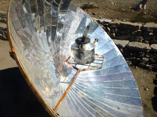
On a sunny day you can melt and even boil water on one of these.

P1260450

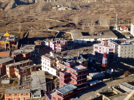
I continued on down to the first town on the other side, bleak Muktinath 3,710m.

P1260480

I’d last been here 14yrs ago, the highest I got on this side of Annapurna.

P1260498Muktinath still has no ATM. Some hikers are running out of cash by this point in the trip. Many spend more than they expect on the Circuit.

P1260474Muktinah is an ugly tourist town much worried about the expected decline in Annapurna Circuit trekking. No one is confident that building alternative trails off the road is going to work. Trekkers, in future, might go to Manaslu instead.
P1260472

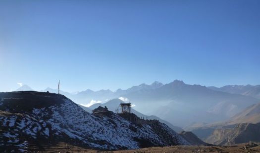
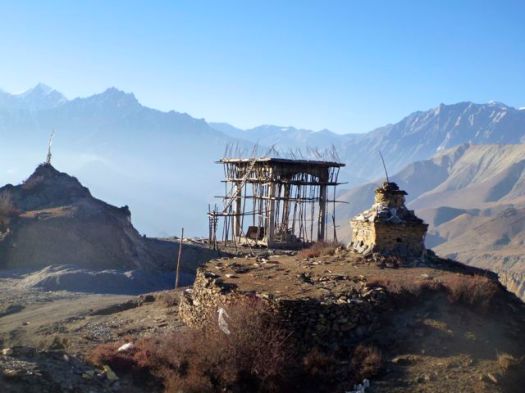
Was that a new water tower under construction?

P1260475

Later I learned they are building a giant Buddha statue. A tourist attraction, amongst other things.

P1260479

After 15 days continuous hiking, I’d stop here. Ride a mountain bike down the other side.

P1260502

I felt great. It seemed to me that I could easily hike another 15 days. Continue on the Nepali Great Himalaya Trail.

P1260501

see high resolution photos from this day on flickr

day 1 | day 2 | day 3 | day 4 | day 5 | day 6 | day 7 | info

hiking/biking Annapurna day 4

by site editor Rick McCharles

The high Pass loomed. I was up and packed early, waiting for the restaurant to open at 6am.

Happily, sunlight reaches Manang early.

P1260239

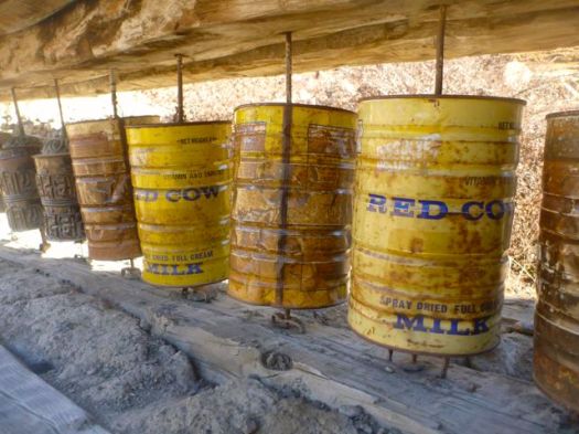
My stomach felt fine. Weather was fantastic. I spun every prayer wheel in town I could.

P1260246

I was going to cross the Thorung La.

P1260252

I really enjoyed Manang. And would happy to go back any time.

P1260249

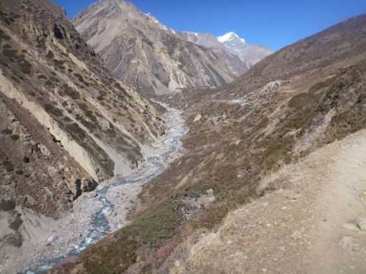
It’s high and dry above Manang. True rain shadow. True Tibetan plateau.

P1260254

I couldn’t resist stopping for brunch here.

P1260268

Carbo loading for the Pass.

P1260267

This hiking day was all good.

P1260273

People had smiles on their faces, happy to be in clear November.

P1260284

It was looking pretty easy from here. I expected another early arrival in Camp today.

P1260290

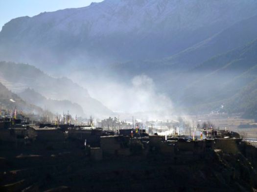
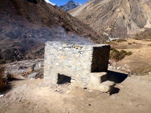
I stopped to take photographs of one unusual Himalayan sight – a burning barrel.

P1260297

It’s obvious to me that the easiest way to dispose of trash way up here, is to burn it. Instead Nepalis throw it off a cliff. Or into a river. 😦

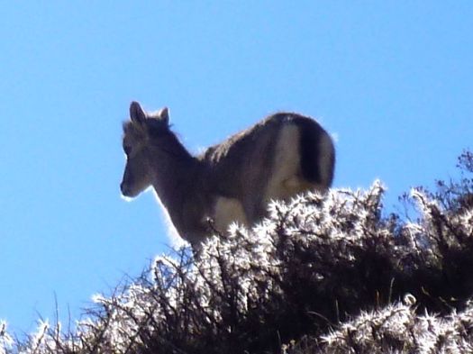
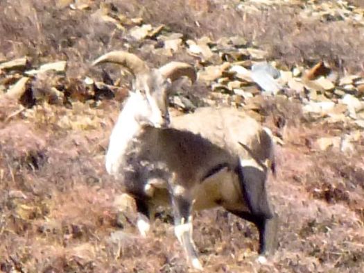
I’m not sure why George Schaller had so much trouble finding Blue Sheep. If they got any closer to me on this Trail, they’d be on my plate. 🙂

P1260331

P1260324

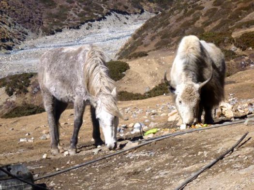
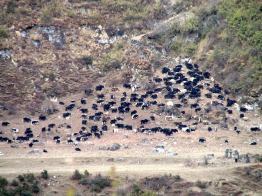
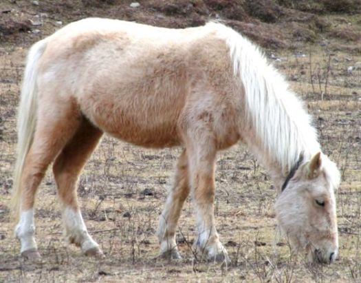
With all this sunshine and mild weather, there were still plenty of Yaks & ponies grazing. Ponies are used for emergency transport of altitude sick hikers.

P1260305

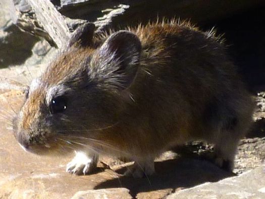
This pika seemed to be looking for a tourist handout.

P1260319

Up and up.

The afternoon was taking far longer than I expected.

P1260310

It was almost dark by the time I reached Thorong Phedi 4420m.

P1260336

I got the second last available room.

What a location!

P1260344

Many take an acclimatization hike up towards the Pass after arrival. I was too late. Too tired.

Instead I enjoyed the last rays of the sun.

P1260338

That night was fun. Japanese girls flirted with their porters in the dining hall.

The last hiker to leave the table, I saw a brazen rodent cleaning up scraps from the floor. It’s almost certain that mice get into the food. Standards of hygene are low in the Himalaya, especially in Thorong Phedi.

Safest would be to sleep in a tent. Cook your own food.

You are advised to drink as much as possible at altitude. I did. But that means a number of trips to pee during the night.

And it’s COLD above 4000m.

see high resolution photos from this day on flickr

day 1 | day 2 | day 3 | day 4 | day 5 | day 6 | day 7 | info

Manaslu Circuit – day 9

by site editor Rick McCharles

Today was the day. We’d cross Larkya La.

nepal-dia.de

  • 2am wake up … plenty of noise in Camp
  • 2:30am packed up my tent
  • 3:00am breakfast … terrible oatmeal, OK pancake, litre of coffee
  • 3:30am intended start

We actually got going nearer to 4am. And it’s plenty cold standing around in the dark.

P1260036

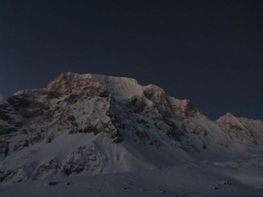
I was counting on a bright full moon.

Sadly for me, it had set long before 4am.

Finally setting off, we attempted to catch Tasha and Ivan. Breathing was difficult. Vision was worse. I finally had to step out of line to change batteries in my headlamp.

This first 45min was the worst part of the Manaslu Circuit for me, so far. 😦

P1260037

Whilst moving, you are not cold.

Things got better as the sky lightened.

P1260038

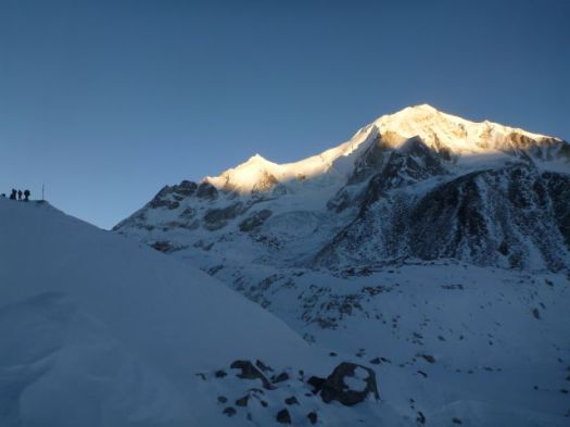
Glorious when the sun finally appeared atop the high peaks.

P1260039

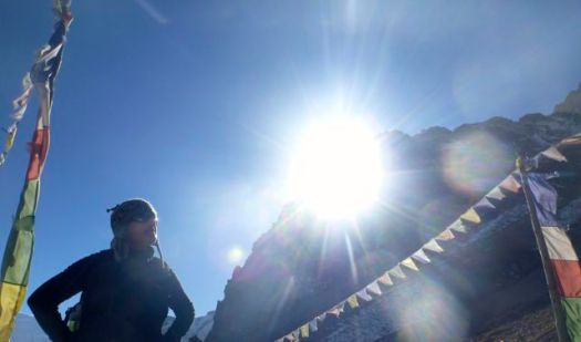
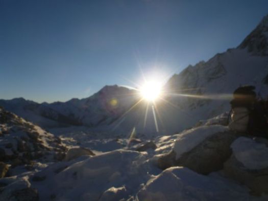
It was good to be alive when sunshine hits you in the face this high up.

P1260040

At this point we were completely confident in crossing Larkya. We could relax.

P1260041

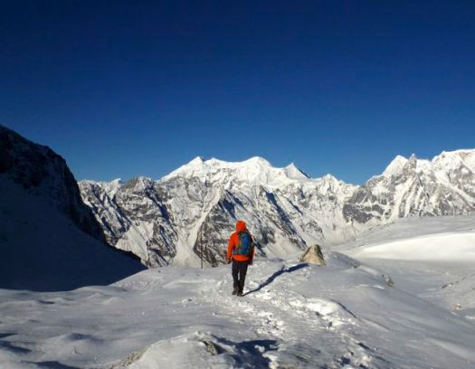
This was like any winter in my Canadian Great White North.

We were surprised how quickly we reached Larkya La 5106m (16,751ft).

Ivan and Tasha
Ivan and Tasha

We’d started early to avoid severe wind here. Happily, there was very little wind.

Rick Mc
Rick Mc

I left a Summit Stone in thanks for safe passage.

The descent should be easy.

P1260047

P1260048

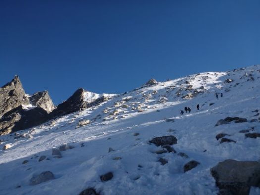
Actually, it was quite challenging on one long, steep section.

P1260050

Porters, in particular, were slipping and falling. I can see why this Pass could be closed after a snow storm.

P1260051

It’s a little more treacherous than it looks.

You skirt the glacier before getting back to reasonable footing.

P1260054

Some make a side trip to visit the glacial lake. We skipped it.

P1260053

Once finally down down, the trail is easy.

P1260056

Smiles on our faces, we arrived Bimtang 3720m.

P1260057Civilization.

P1260058

That might be the finest guest house we saw on the Circuit. Private cabins. It was booked, of course. By large groups of French trekkers.

It was early in the day. Mike and I were the 3rd & 4th hikers to arrive. Tasha and Ivan were 1st & 2nd.

It takes most hikers 6-10hrs to make the crossing. Much longer, of course, if you start in Samdo rather than Larkya Phedi.

We took the chance to bathe in the sun. The river was flowing, but water taps at our guest house were frozen.

P1260060

And do some laundry.

P1260061

I again walked the moraine ridge above Camp at sunset. But it wasn’t nearly as inspiring as the night before. Things are a bit anticlimactic after crossing the Pass.

P1260064

We chatted through dinner. Went to bed early. I slept 11hrs straight through.

Note: One woman had fallen the day before we crossed the Pass. Hit her head. Though continuing immediately, she had a suspected concussion. She was resting in Bintang. Make sure your travel insurance covers hiking at altitude.
see high resolution photos from this day on flickr

day 0 | day 1 | day 2 | day 3 | day 4 | day 5 | day 6 | day 7 | day 8 | day 9 | day 10 | info

Manaslu Circuit – day 8

by site editor Rick McCharles

We got an early start out of Samo.

P1250332

Manaslu was perfect. Cloudless.

P1250335

Not even spindrift, rare for an 8000m peak.

This is why you want to trek in November / early December.

P1250359

Mike and I were happy to have the weather. Wanted to get up and over the Pass as soon as possible. If he were to have to backtrack to the start, he’d miss his flight back to the U.K.

P1250369

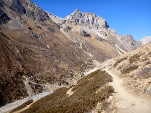
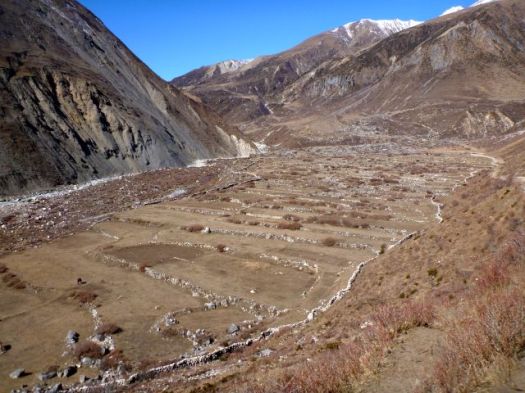
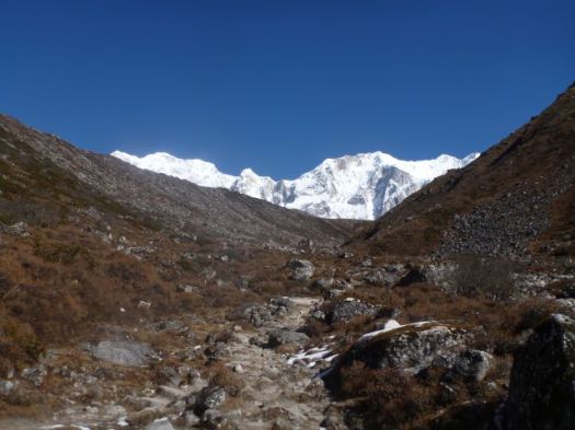
The arid terrain that high up was very Tibetan.

P1250374

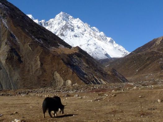
Not much can live in this climate. Yet Yaks thrive.

P1250375

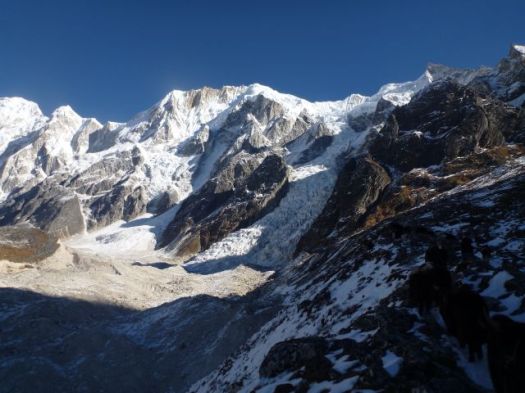
The scenery is fantastic. You hike closer to the big peaks than anywhere else I’ve been in Nepal.

P1250391

P1250402

I was one happy hiker.

P1250413

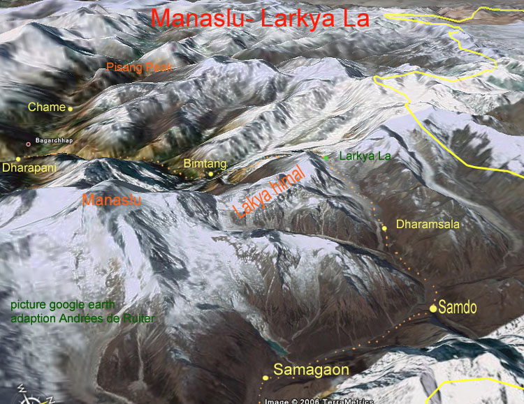
Some trek from Samo only to Samdo 3690m. Then make a long, long day climbing over the 5106m Larkya Pass.

Sounds crazy to me. But it worked for a German couple we had been hiking with.  Their guide doesn’ t like Larkya Phedi 4470m (Dharmsala).

P1260005

Larkya Phedi is a harsh place. In every way.

It was closed by MCAP in 2011 for being an “illegal structure”. But open since. Open normally until about Dec 15th each season. Food sometimes runs out before that date, however. Some years hikers eat nothing but potatoes before crossing the Pass.

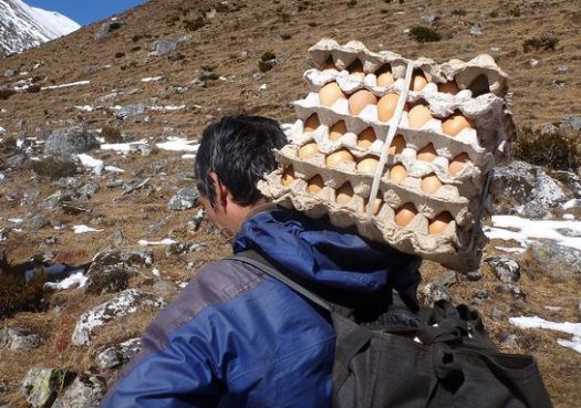
We knew fresh eggs had arrived.

eggs

Larkya Phedi is the last place you can sleep with a roof over your head. … On the other hand, there were no beds left when we arrived. When the Pass is closed, it gets very crowded here. 😦
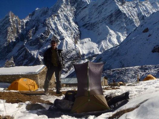
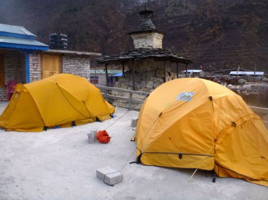
We set up my tent on a snow patch.I wouldn’t be getting much sleep anyway. Wake-up time would be 2am.

P1260007

Hikers tried to relax in the sun. Nap if they could.

P1260016

It got very cold as the sun went down.

P1260023

Toilets are overflowing with feces. They don’t stink. They are frozen.

Ivan saw one Nepali shit into the stream above Camp. The only source of drinking water. That’s how uneducated some of the porters are. That’s why the water is so dangerous in Nepal.

P1260018

We walked the ridge above Camp for acclimatization. And to stay warm. There were dozens of Blue Sheep up there. Until hikers scared them away.
P1260026

I practiced various speeds walking both uphill and downhill to maintain an optimal temperature. This in anticipation of the Pass, considered much more difficult than Thorung La on Annapurna.

P1260034

Wandering alone up there until dark, this was the single highlight of the entire trek for me. 🙂

Wonderful.

P1260004

Mike and I lingered in the dining hall as late as we possibly could. Staying warm. And avoiding our cold tents. Mike and our guide were forced to share a rent a tent as all beds were taken. Porters slept on these tables and benches starting 10pm.

Last minute I ordered hot water for my Nalgene bottle, using it inside my sleeping bag to warm my feet. Temperature dropped to at least -15C. (5F)

It would be a very short night …

see high resolution photos from this day on flickr

day 0 | day 1 | day 2 | day 3 | day 4 | day 5 | day 6 | day 7 | day 8 | day 9 | day 10 | info

Manaslu Circuit – day 6

by site editor Rick McCharles

This would be the longest day so far. And the most stunning yet.

P1250087

P1250078

Permit check first thing in the morning.

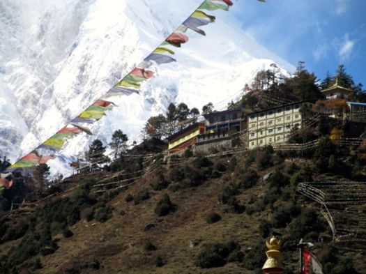
Local people and their landscape grows increasingly Tibetan as you ascend. Each village from here on up had it’s own monastery (Gompa).

P1250128

P1250130

P1250160

It was well below freezing last night.

P1250232

Still, when the sun comes out, hikers strip off their many layers quickly.

Rick, Brion, Betsy, Mike

I was astonished at what can still grow at these altitudes.

P1250110

We stopped at Lho 3180m for lunch. The pack animals tried to join us at the table.

P1250171

Some stayed at Lho for acclimatization. Tempting.
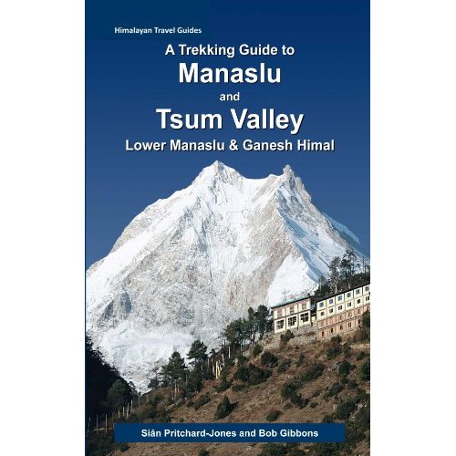
Lho has the very best views of Manaslu!

Gompa

IMG_0259

It’s the cover photo for our hiking guidebook.

Manaslu Guidebook

This is why you hike the Himalaya. 🙂

We all felt good here at 3180m, so we pushed on to Sama 3530m.

The afternoon was fantastic, too. Grasslands of the Tibetan plateau support grazing animals nearly all year round.

Yak, Yak, Yak
Yak, Yak, Yak

There are plenty of mountain ponies, too. Used for transport.

pony

You can rent a pony to carry you up. Or down, if you are feeling altitude sickness.

A doctor on Annapurna told us of a young Japanese hiker who’s guide put him on a pony to carry him over a high Pass there. He died of HACE or HAPE en route. 😦

We unpacked for two nights in Sama. (Samagaon) 3530m This would be our acclimatization rest day.

Sama is a surprisingly big village of about 1000 residents. Big lodges. Well stocked stores. Good restaurants. We even checked email there, the internet having arrived only 3 months prior. (2013)

Speed of the internet was good. But the computers and notebooks available to rent were atrocious. Almost unusable.

Increased tourism is needed in this town, I feel. Check the Samagaun Development Foundation blog.

Rent a tent.

P1250246

One downside of sleeping indoors rather than in a tent are rodents. In some guest houses you are kept awake by their scurrying. I even saw one in the dining room at 4470m.

see high resolution photos from this day on flickr

day 0 | day 1 | day 2 | day 3 | day 4 | day 5 | day 6 | day 7 | day 8 | day 9 | day 10 | info