trip report by site editor Rick McCharles
day 0 | 1 | 2 | 3 | info page | video
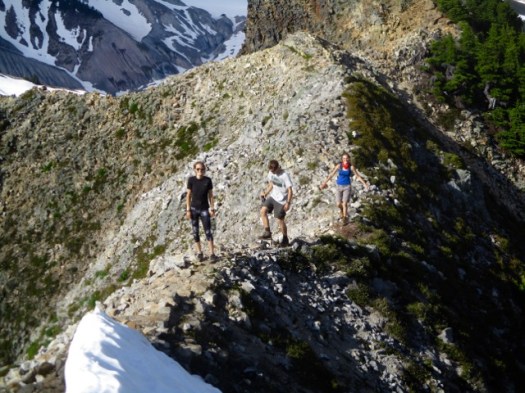
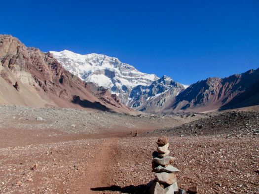
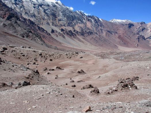
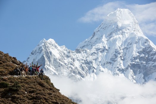
The best hike (not climb) in Aconcagua Provincial Park, Argentina is to the Plaza Francia, I reckon.
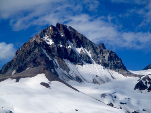
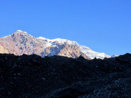
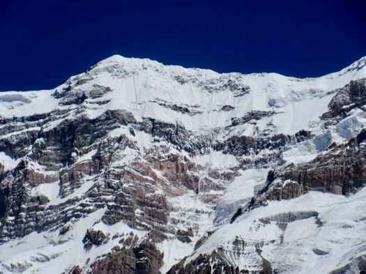
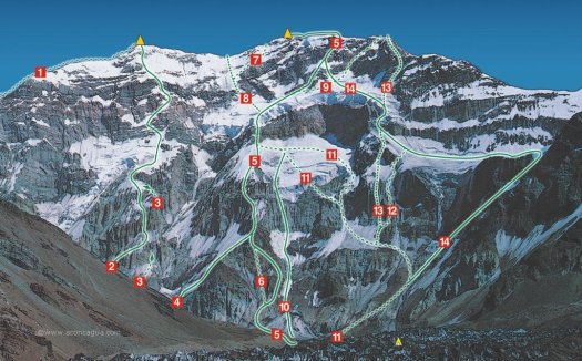
Aconcagua is the tallest mountain outside Asia. Most impressive is the south face – a wall of rock and ice nearly 3000m high.
It’s steep.
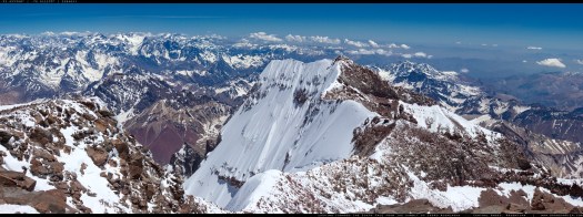
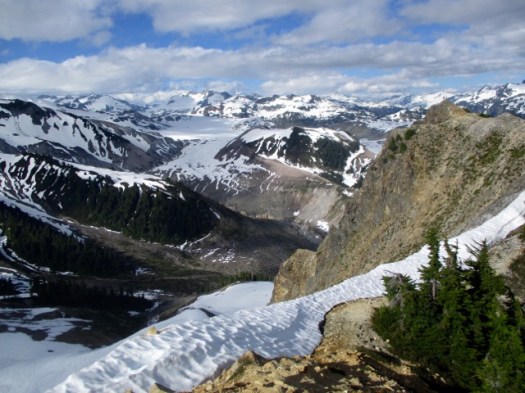
Here’s my promised vista from Francia.

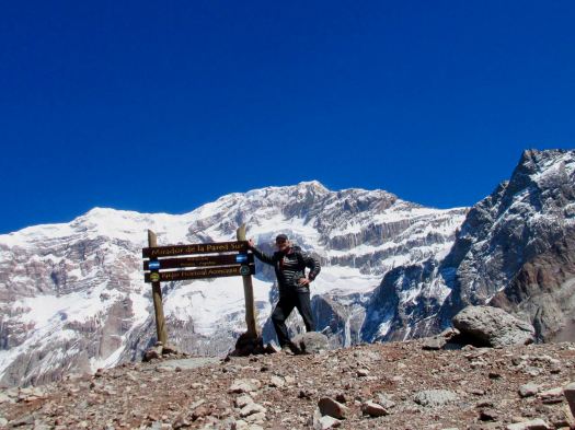
 The French team of 1954 who made the first ascent, returned with severe frostbite, Imagine the terrible gear they were using.
Almost everyone treks to Aconcagua’s south face base camp — Plaza Francia — with a guide.
Inka Expeditions is one of the best.
But it’s relatively easy to do Francia on your own.
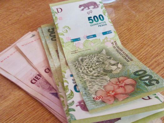
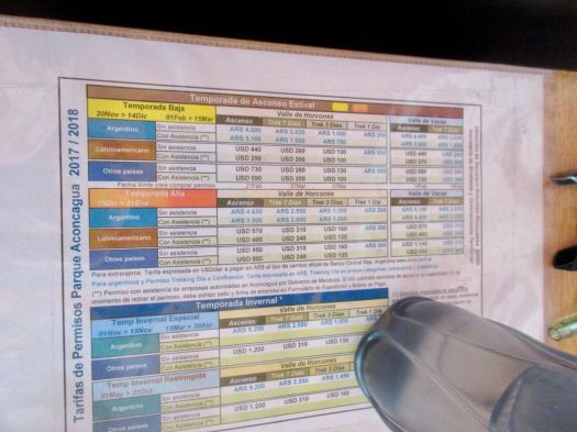
Cost for my independent trekking permit January 2018 was $160 plus bus ($19) plus food.
Aconcagua fees January 2018
Cost for the same trip with Inka Expeditions was — at the same time — to Plaza Francia $715 / person discounted to $470 / person + tip if you book in advance.
http://inka.com.ar/aconcagua-trekkings/aconcagua-trekking-plaza-francia/
(Note – Inka Expeditions trekking to Plaza de Mulas was $1360 / person and trekking to Mt. Bonete $1690 / person.)
The other independent permit option is 7 days for $310. You’d easily visit both Francia and Plaza de Mulas (Mule Camp) with more time to acclimatize. But we’d recommend doing Francia in 3 days, instead.
There are a number of outdoors shops in Mendoza that sell camp stove fuel. Chamonix is the best I found.
First day in Argentina I had trouble finding a bank that would accept my Debit Card. They all take Credit Cards, but you get instantly charged a high rate of interest for cash advance on credit.
Finally I found a bigger branch of the Galicia bank where my bank card worked. Maximum seems to be 3000 ARG, just under $180. I put that cash in my pocket.
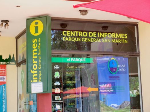
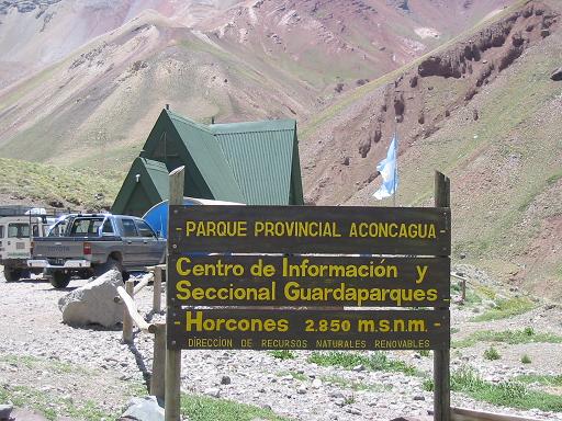
Tourist Information offices in Mendoza are excellent. They gave me a map and showed where the Park Office that issues trekking permits is located.
- Centro de Informes, Parque General San Martin, Mendoza (Google map).
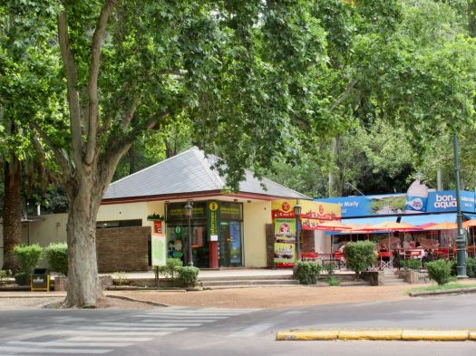
Not central, it’s in the gigantic Parque General San Martin.
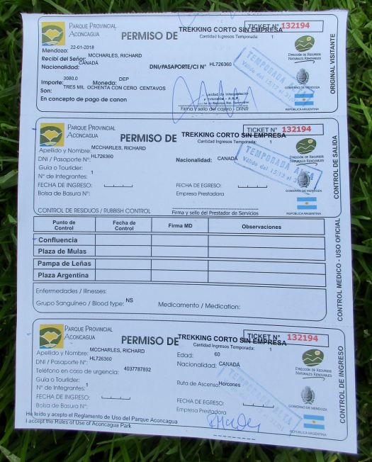
On arrival employee #1 explained I’d need to pay in cash, Argentinian pesos only. Cost for the 3 day permit was 3080 ARG, exactly 80 pesos more than I had in my pocket. 🤨
I’d need to go back to the bank.
In addition, I needed the number of my insurance policy that covers hiking (not climbing).
I didn’t have the number with me nor was I sure my current policy covered hiking. I walked back to the hostel to get the number.
Second trip to the Centro de Informes employee #1 was gone. Employee #2 informed me no insurance was needed for the 3 day trek, only the longer permits.
He helped me make application online on computers in the office. The web page is not well designed. I was happy to do it there and in person.
The options and costs for different adventures on Aconcagua are confusing.
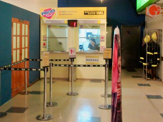
Application printed and in hand, he told me to walk to the nearest “Easy Pay” kiosk. Parks employees are not allowed to handle money.
Closest was about 1km away in the park. I walked there only to find out it was closed Mondays. 🤨 Retuning to #YouHadOneJob employee #2 quite irked, he blurted his lack of critical information was a 3rd world problem.
Ya. … Right.
I walked to the next closest Easy Pay.
That worked well. They do take only cash.
BACK for the 3rd time same day to the Centro de Informes.
My permit was processed and I — finally — had it in hand. It was good for any time over the next 3 weeks.
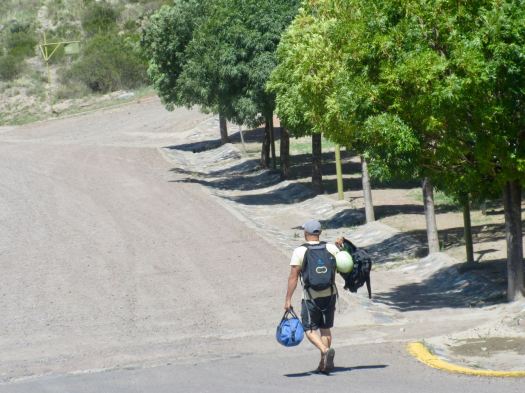
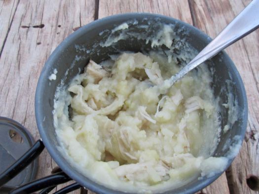
I picked up my camping food at the massive Carrefour grocery store. No peanut butter, however. I took inexpensive, calorie rich Christmas cake instead. Love candied fruit and raisins.

That night at Alamo hostel it was the old guys at the table late night. All the youngsters were out in Mendoza Bars. Two of the Argentinian gentlemen cooked up empanadas and pizza. Me and the social worker from Texas enjoyed their cooking while sharing Malbec.
I tried to go to bed early.


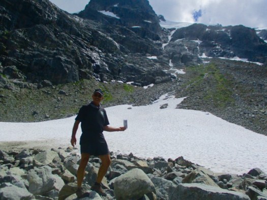
 On a rest stop I laid out my basic gear to dry.
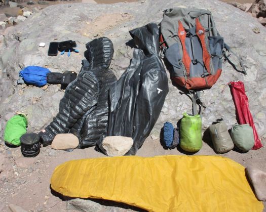
 It’s a tourist trap with overpriced junk and yappy dogs.


 I again climbed into my bag for a nap, but this time also to get out of the sun. Though careful with face and head, I’d managed to sunburn my hands and forearms. There’s very little shade available.


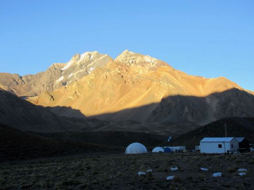
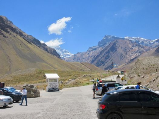
 I was to be surprised how many helicopters race up to Aconcagua every day. Two are parked here at the entrance. Ready to go.
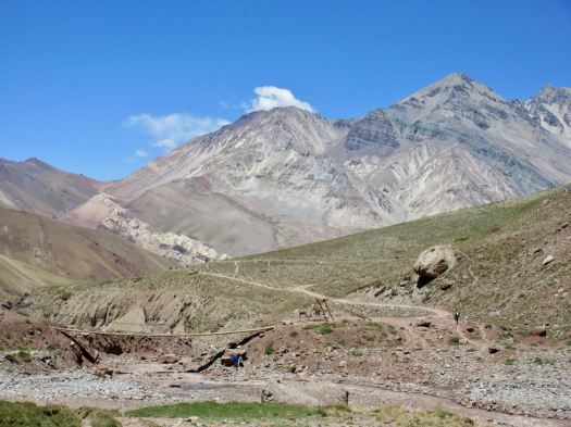
 Only those with trekking permits can cross the river. I felt I was finally on the Francia trek.
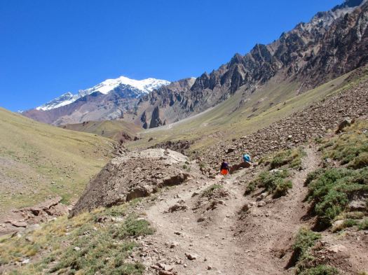
 Excited, I rushed up to Confluencia camp (3350m) as quickly as I could.
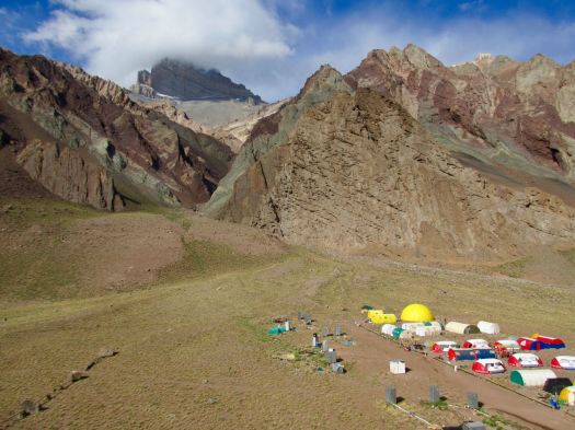 It looks much more impressive from a distance than up close.
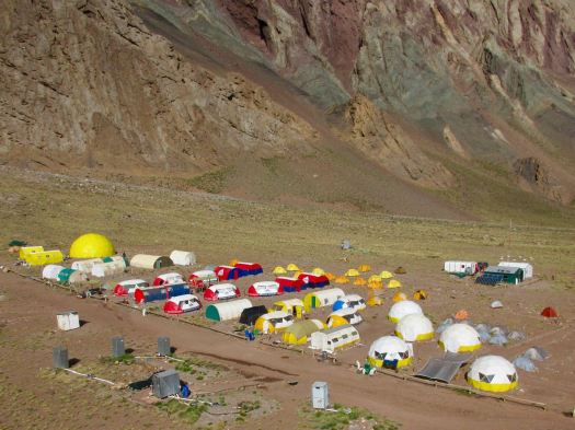 In fact, it’s rather crowded and dirty.
 When not in use they are protected.
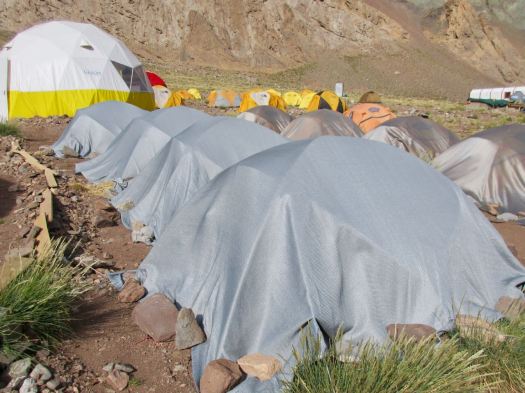 I do like their big bright shared areas.

 On arrival you check in with the camp guards. They directed me to the tiny area where independent campers are allowed to pitch. We are definitely second class clients here.
 Toilets are BAD for guided clients as well as independents.

 Cheeky Andean fox tend to show up at campsites about dusk. I saw this one hanging around at dinner hoping for leftovers. And another two in the early morning.
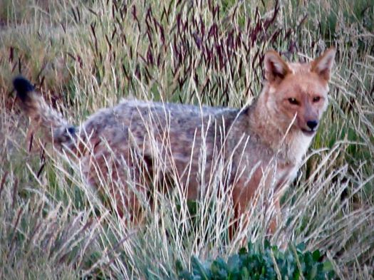 BIG day tomorrow. I tried to get as much sleep as I could at 3350m.
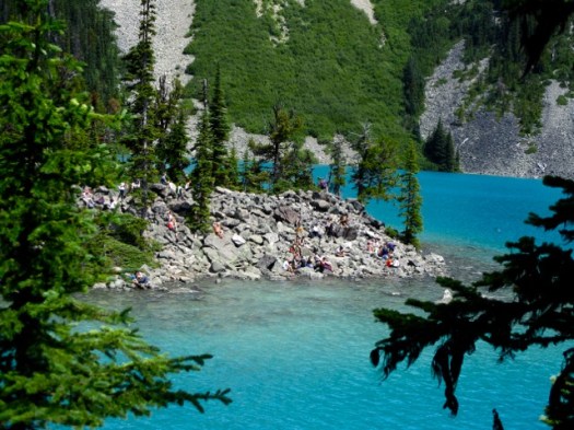
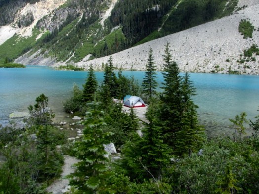
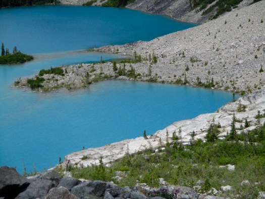
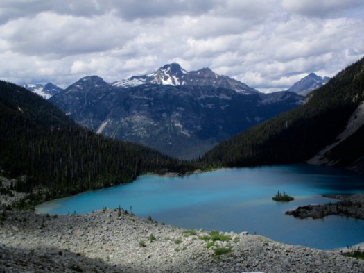


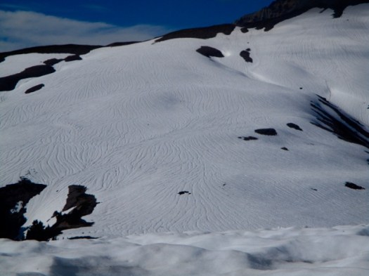
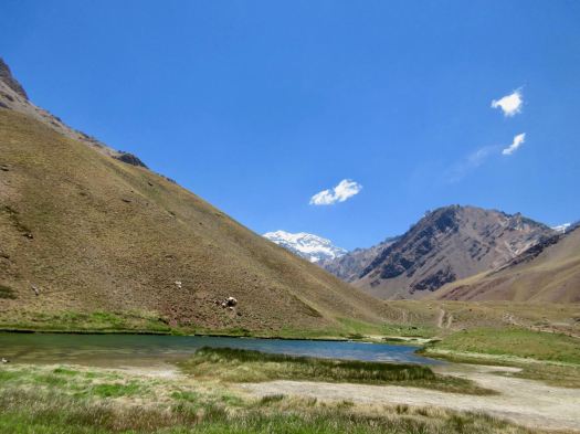
 Elfin Lakes campground. A beautiful scene.
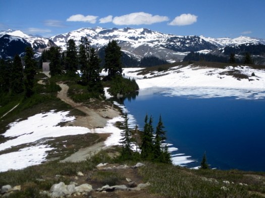
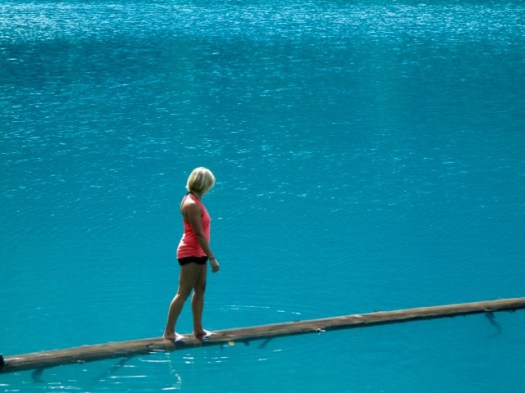
 Elfin Lakes are not lakes, they are meltwater ponds. One for drinking water. One for … swimming.