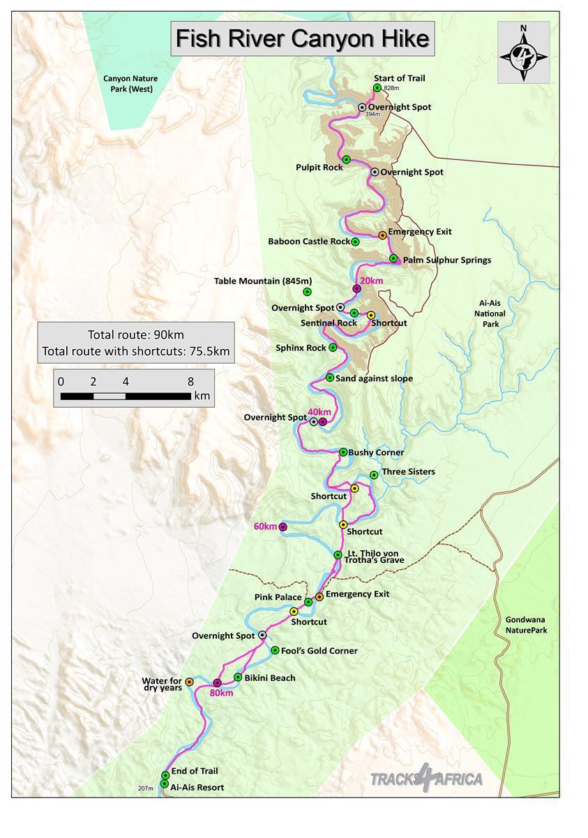
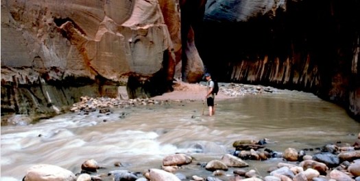
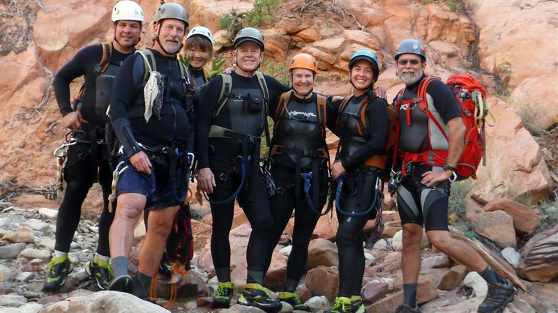
16 miles (25 km) from Chamberlain’s Ranch to Temple of Sinawava
June through October best months
in places chasm up to 1,968 ft deep and 20 ft wide
walk in water about half the time
9 – 13 hours. Confirm the time of the last shuttle out of the park!
a long, tiring day or you can camp overnight. Be aware that there are only 12 campsites available and they book quickly. Start as early as possible if you are doing it in a day.
water walking shoes, long hiking stick and dry gear recommended
National Park Service closes the hike when flow rate is over 150 cubic feet per second (cfs). And might close it at any time in case of Flash Flood Warning.
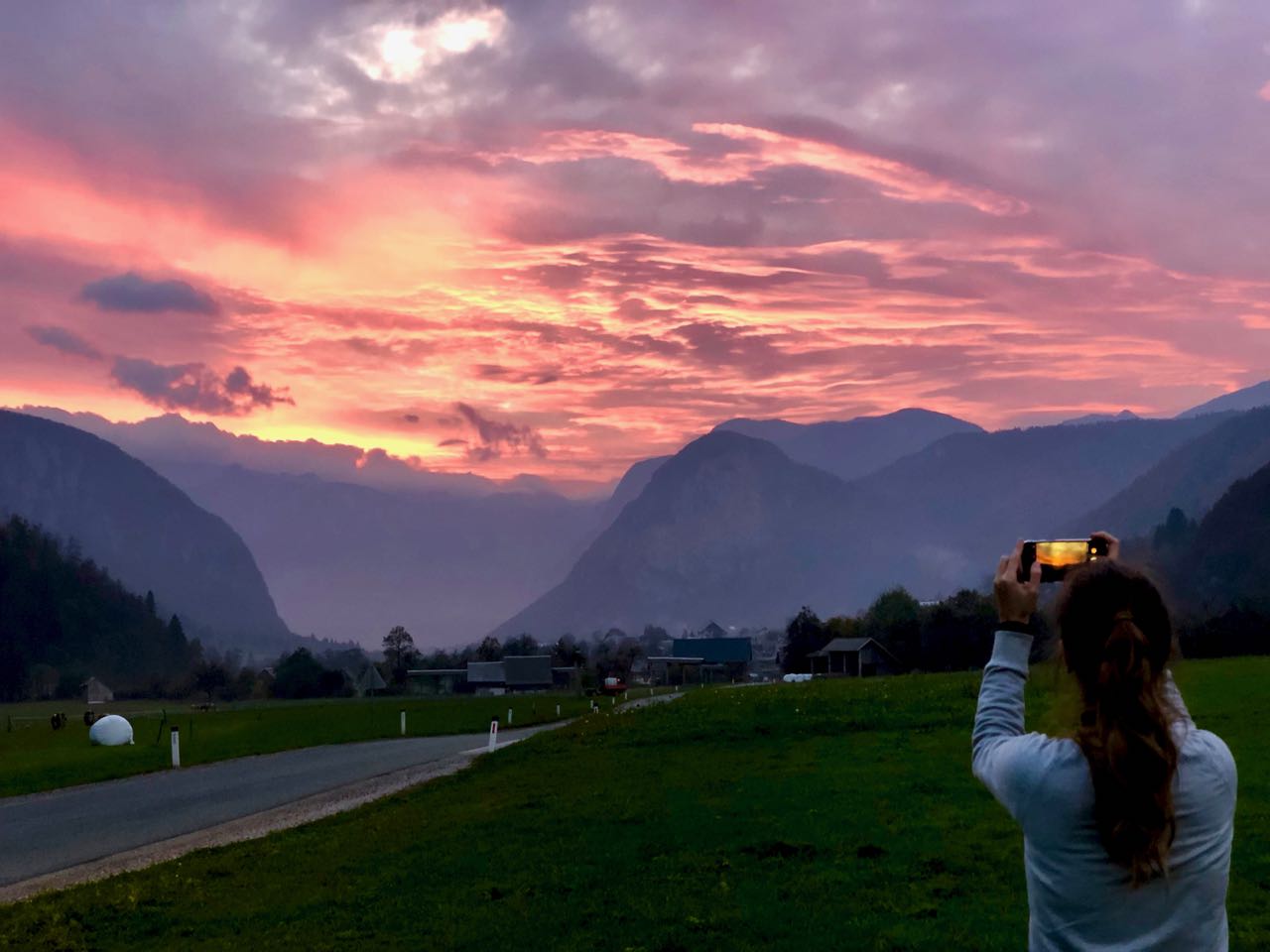
You can do a half day hiking circuit from Bled. But I was riding with a tourist agent from Belgium who was doing research on the area. She had a rent-a-car.
In October near end of day, it wasn’t particularly crowded. Nor was Bled During July and August you may have trouble finding a place to park. And all accommodation can get booked out.
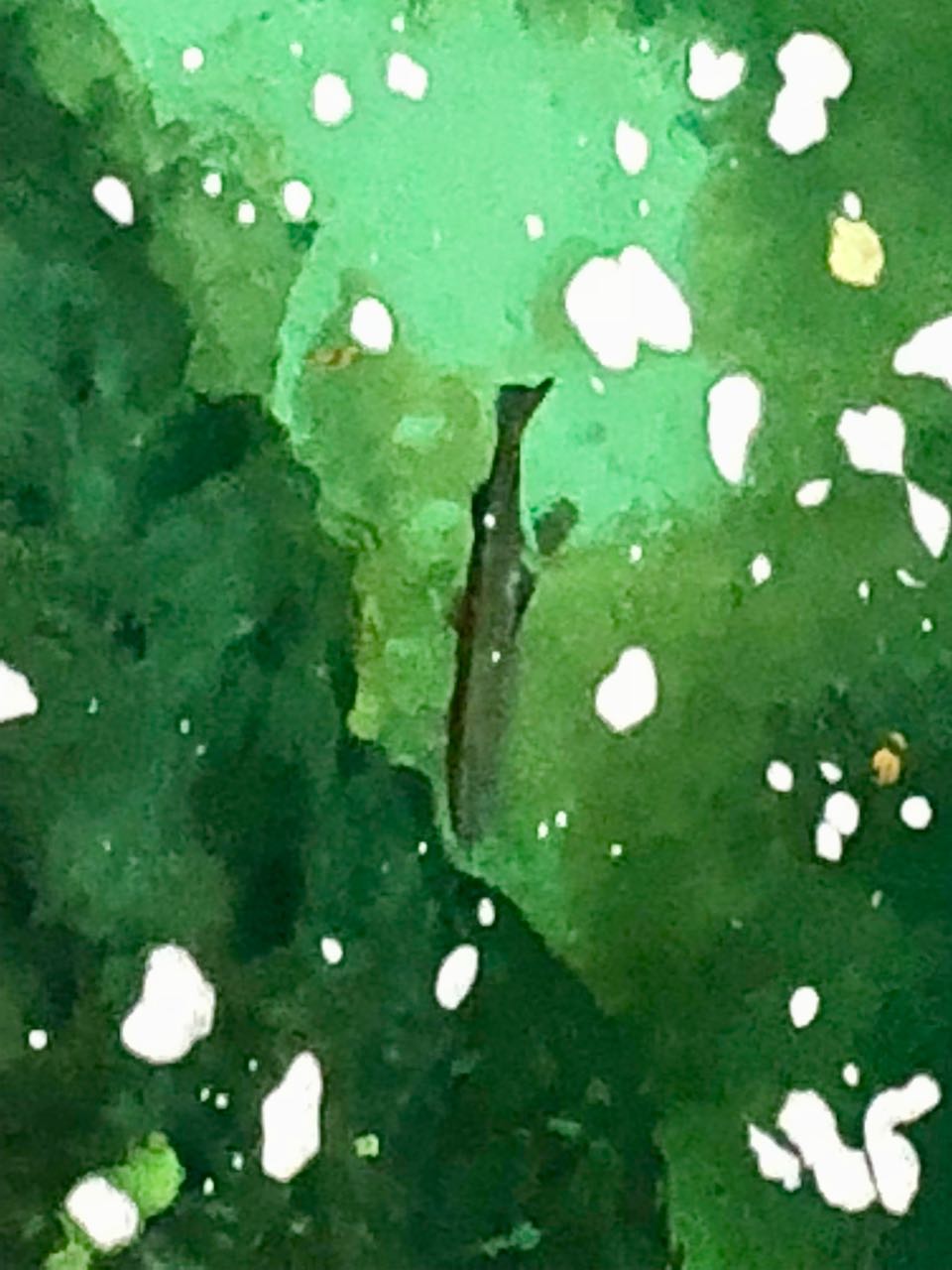
The water is so clear you can watch fish waiting on food to drift down.
We caught a terrific sunset after finishing our hike.
If there’s one iconic backcountry trip at Zion National Park in Utah that lures visitors from around the world, it’s the 16-mile hike through the Zion Narrows. On Tuesday, however, that trek was put out of reach when a private landowner closed his property as an access point to The Narrows. …
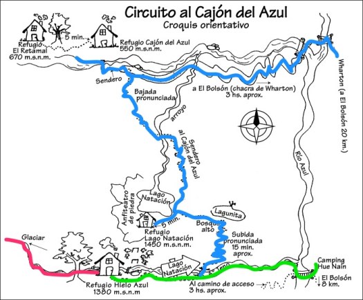
Getting to the trailhead at Camping Hue Nan is the most challenging navigation challenge.
You can road walk from El Bolsón as I did — 3 boring, dusty hours — or ask for bus directions to Camping Hue Nan. That trailhead may be changing. Check before you go. It was open to me February 2018.
Look for the Acceso Refugio Hielo Azul sign.
I used the free Maps.me app and it worked perfectly for the entire circuit. On the other hand, I wished I’d hired a taxi or found the bus rather than done 3 hours of road walking.
Alternatively, there’s a way to start and finish a circuit by bus at Warton. The most popular trailhead.
You could reverse my route too, of course.
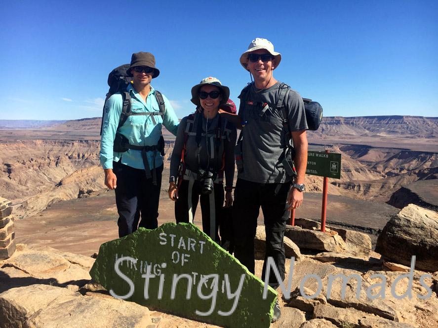
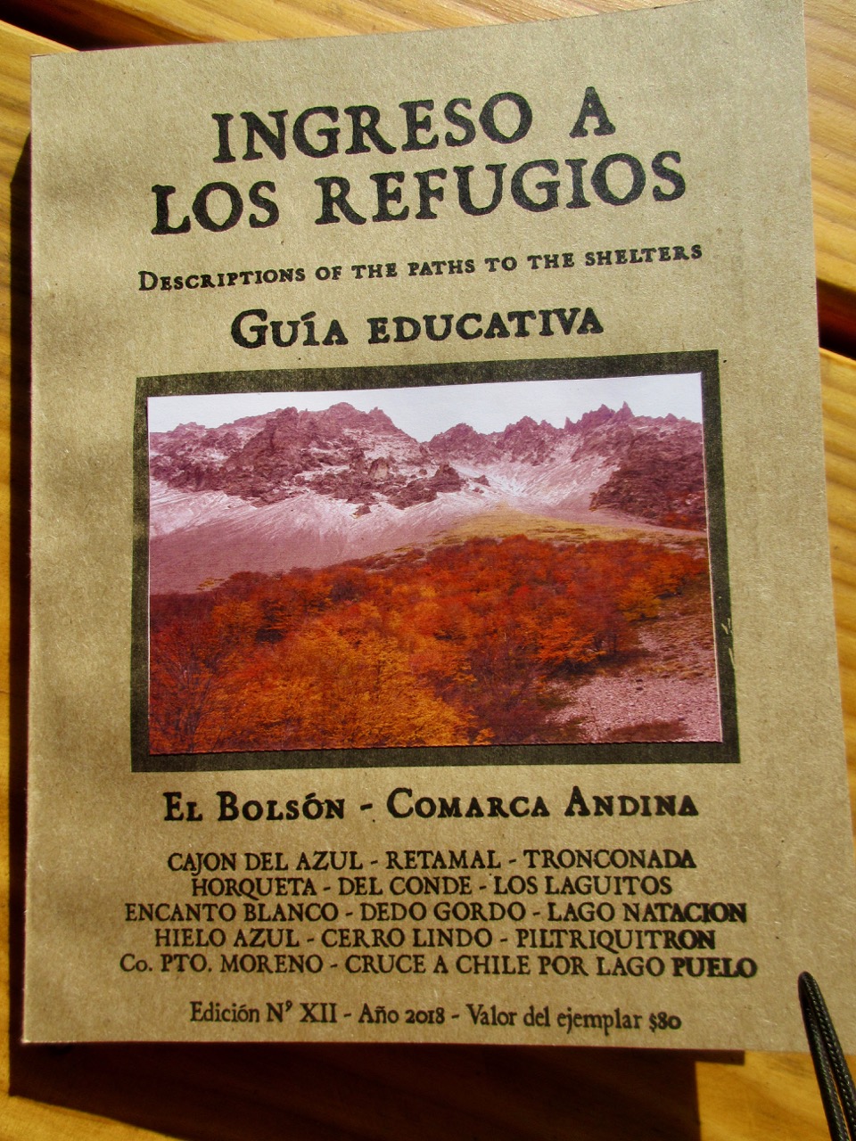
El Bolsón, population 19,000 plus tourists is an excellent hiking town. It’s only 2 hours by bus from Bariloche, the bigger hiking destination in Argentina. Many hike both towns on the same trip.
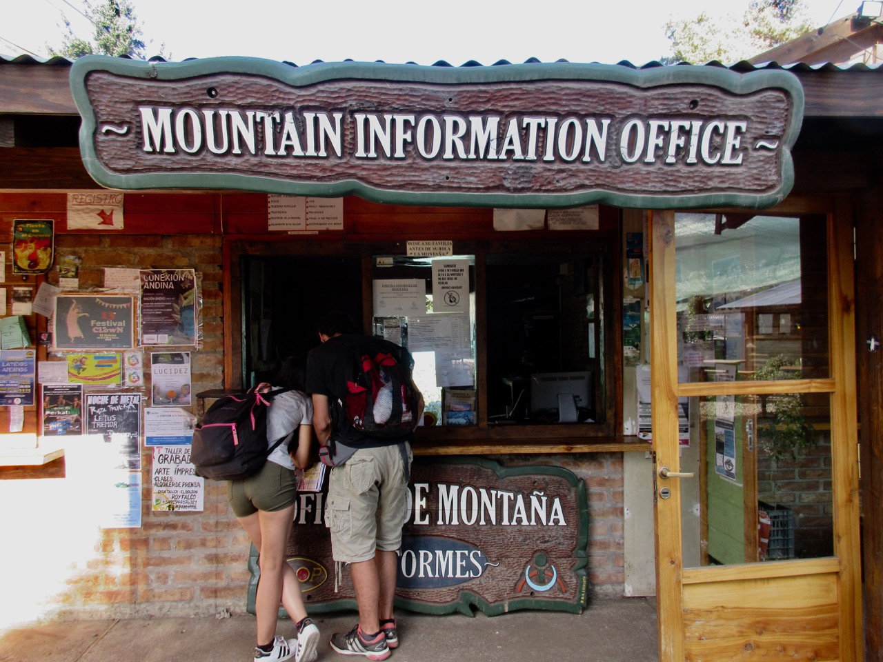
Free registration is required. You don’t need to stick to your planned itinerary.
There are gear shops with camping fuel and fairly large grocery stores in town.
At the Mountain Information Office I bought a $4 amateur hiking guide partially translated to English. It’s not enough to navigate, but did provide some background information.
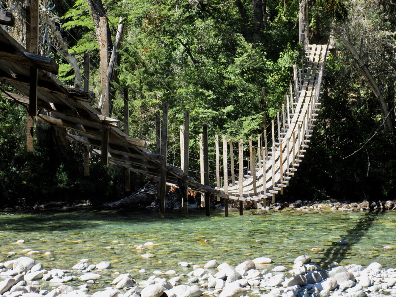
I was shocked to see some of the bridges here.
They are slowly being replaced by modern metal alternatives.
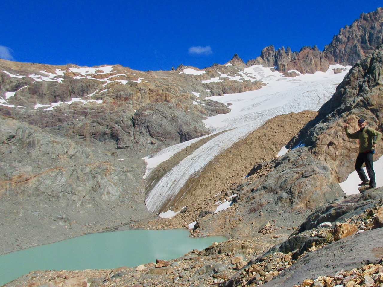
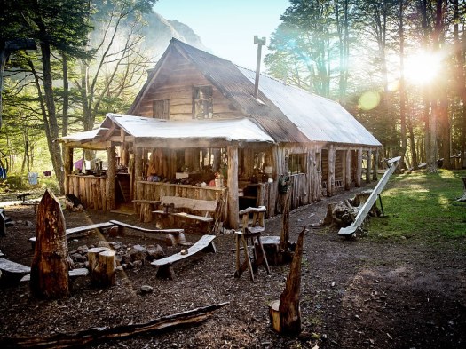
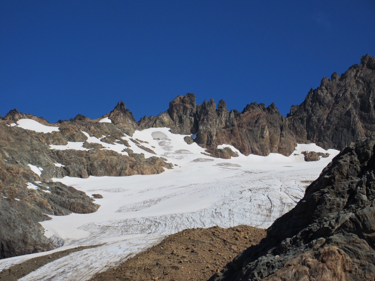
It was at least 1000m ascent and 4 hours up toHielo Azul Refugio. My favourite alpine hut by far.
I was so happy to get there — and felt so warmly welcomed by the woman who greeted me — that I signed up for an 8pm $20 stew meal. My most expensive dinner in Argentina. (I brought my own wine.)
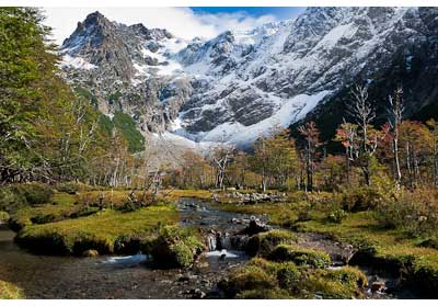
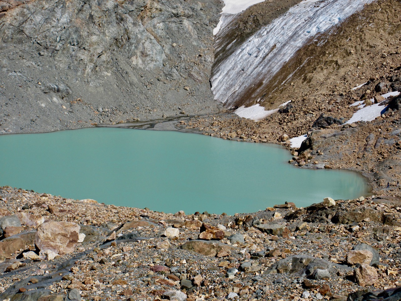
It really is paradise up here just below the glacier.
I paid $5 to tent.
Next morning I first registered at the mountain hut then scrambled the steep, 90 minute route up to the glacier. Beautiful.
I had some lunch on my return. Then set off on the clearly marked trail to Refugio Lago Natacion. An easy add-on.
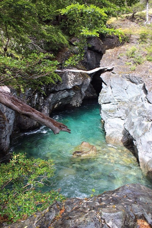
From Natacion down to the Azul Canyon, however, was surprisingly steep and overgrown. Not many people do the circuit, I suspect, because this one section is quite challenging.
The canyon is impressive once you finally get there.
At one point you can straddle the gap, a long way above the crystal clear water!
I was reminded of Tiger Leaping Gorge. A tiger could easily leap this gorge, but not the one in China.
Tired, I decided to illegally wild camp by the river rather than walk the extra hour down to my designated refugio campground.
The trail out to Warton is a road accessible to motor vehicles. Swimming this river is the attraction, not the trail itself.
If my directions sound too sketchy, consider buying a map for about $10.
Aoneker 1:50,000 El Bolson (covers the following refuges: Co.Lindo, Hielo Azul, Natacion, Atillio & El Reramal)
Aoneker 1:120,000 Comarca Andina del Paralelo 42° (covers all the refuges in the El Bolson region)
Clever Hiker posted the best information on this classic hike we’ve yet seen.
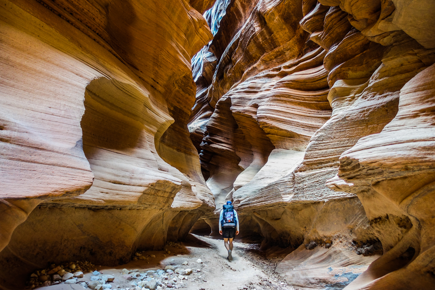
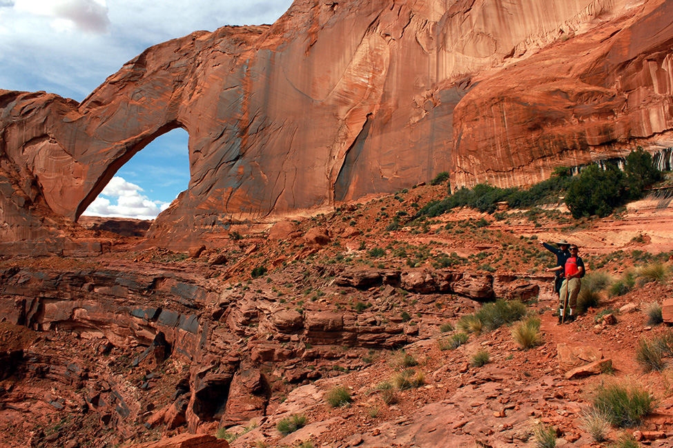
Located in the Vermillion Cliffs Wilderness of Utah and Arizona, this spectacular and unique hike winds through one of the deepest and longest slot canyons in the world.
Wavy sandstone walls twist their way to the sky for nearly thirteen miles, creating surreal patterns of light and sound. The canyon walls often soar hundreds of feet above the wash, and are sometimes only a few feet apart. Buckskin Gulch is truly an amazing place …
Quick Facts
Distance: varies, 21-51 miles depending on trip
Days Needed: 2-5 days
Elevation Gain/Loss: varies, 500-1500 ft, depending on trip
Best Travel Time: April-June or September-November
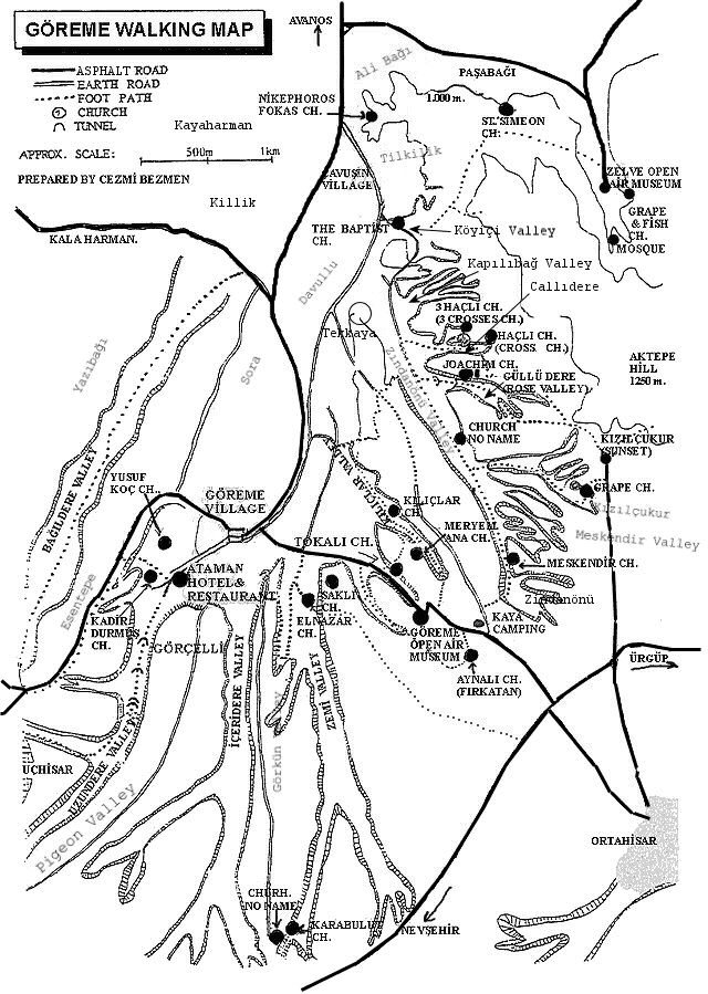
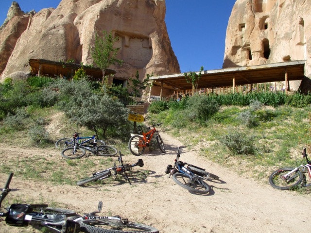
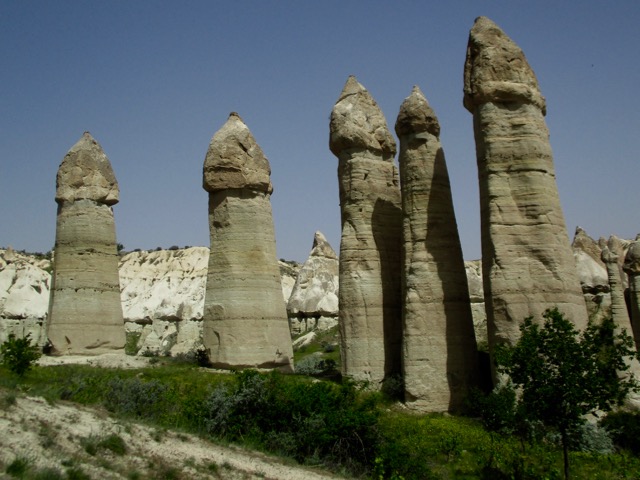
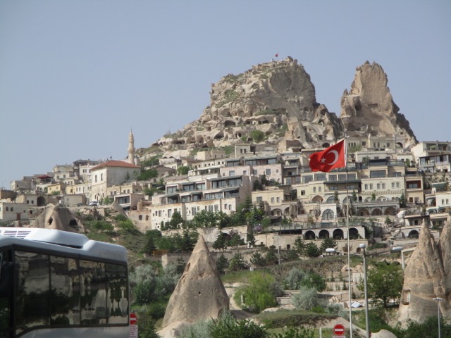
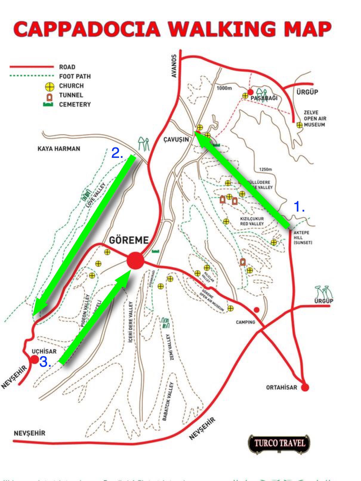
On arrival in Göreme someone will hand you a FREE hiking map.
Most wander around with this thing … frequently getting lost. We could find no decent map nor guidebook in 2017.
For 6 days I hiked and cycled many of these trails, often lost, before finally deciding on what I felt was the best hike.
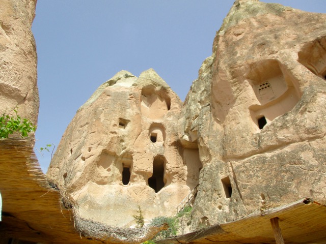
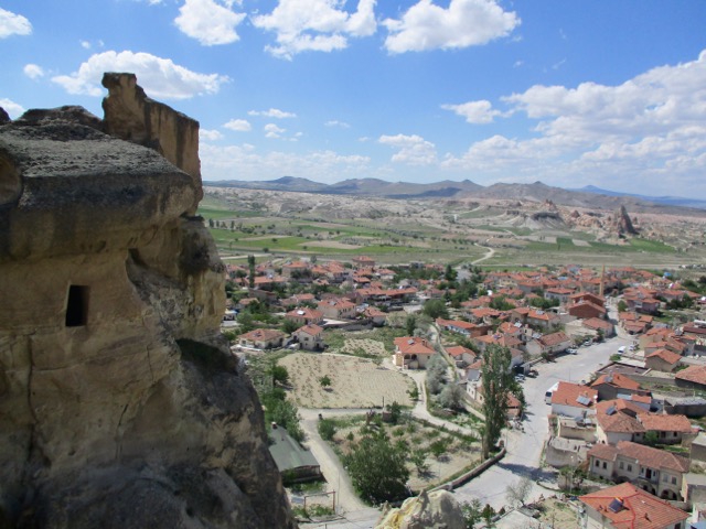
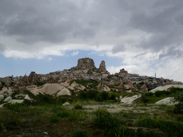
Ask the people at your accommodation in Göreme how to get to the Rose Valley Panoramic viewpoint. They’ll likely recommend a taxi and tell you the price. It’s about a 15 minute drive uphill from town.
There is a small entry fee for Panoramic viewpoint. The taxi may drop you outside the gates.
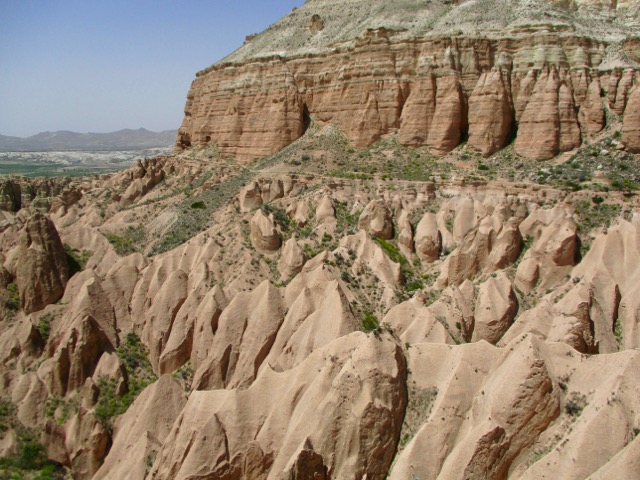
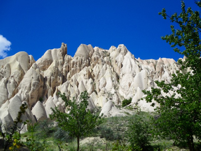
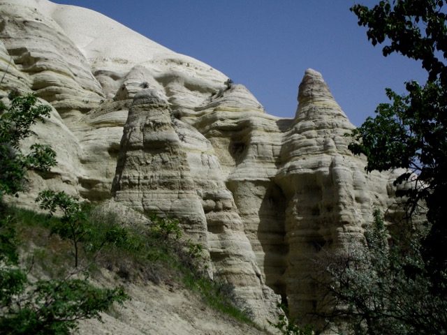
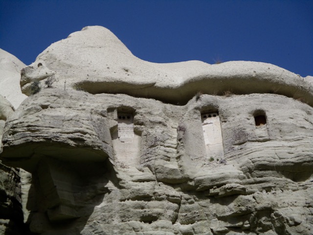
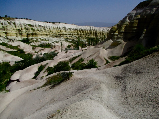
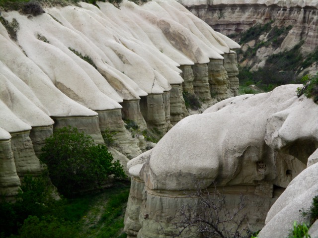
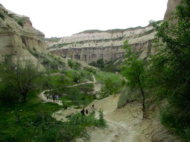
Most feel Rose Valley trail. 5km to Caveusin is the best hike of all. And I’d agree.
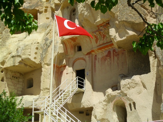
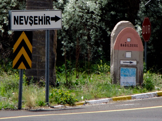
Note that most of the trail signage is in Turkish.
There are many twisting and turning trail options. All are good but the very bottom of the valley might be muddy.
… Hours after they entered Keyhole Canyon, dark skies unleashed fierce rains that sent water surging through the chasm, sweeping the seven people to their deaths Monday. …