trip report by site editor Rick McCharles
day 1 | day 2 | day 3 | day 4 | info
Day 2: Sankaber-Gich (3600 m), 5-6 hrs walking
I couldn’t sleep.
Tossing. Turning.
My stomach, not perfect on arrival for this adventure, was getting worse.
At midnight I rushed to the filthy toilet with diarrhea.
At about 2am I awoke suddenly, urgent to vomit outside the door of my tent.
Disgusting. But I was too sick and tired to worry about it until daylight.

Early morning the thick-billed ravens squawked around my tent … eating the vomit. It was entirely cleaned up by the time I finally got up.
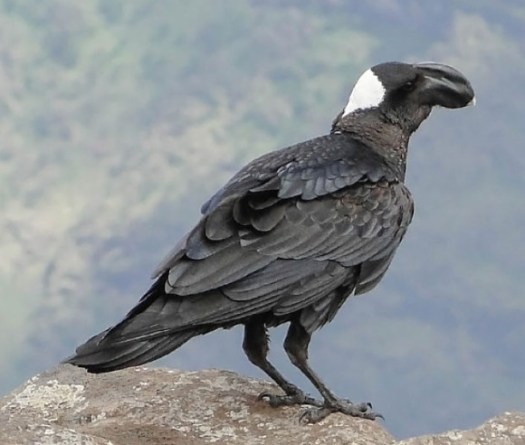
These birds are the biggest and noisiest ravens I’ve ever seen, unique to this region. They mostly travel in male/female pairs.
Breakfast is normally a highlight of these guided camping trips. But I couldn’t eat today. As a test I forced down coffee and a couple of bites of scrambled egg.

Our gear would ride horseback today. A mob of mule drivers crowded around, hoping they would get work.

There’s a maximum weight / horse. 45kg or thereabouts.

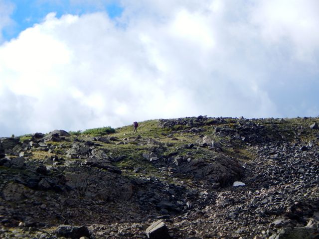
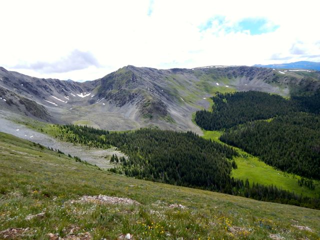
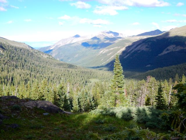
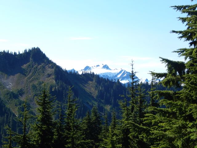
Back to the impressive escarpment walk. Amazing views.

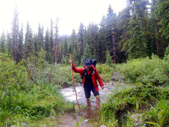
Joshua is smiling here, but his stomach was getting worse by the minute. He and I had eaten fish the evening before. We speculated that it was the fish that made us both sick. Why were we eating fish at 3000m in a land that has little refrigeration?

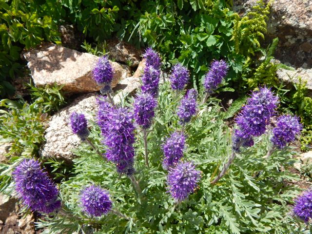
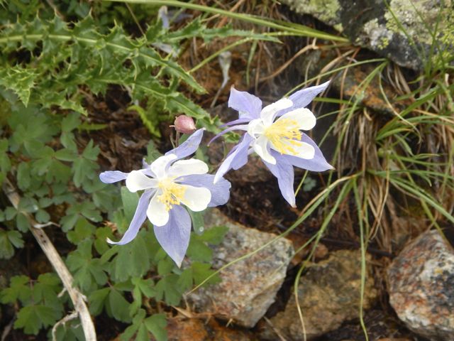
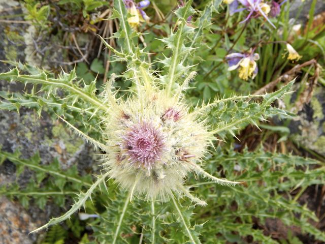
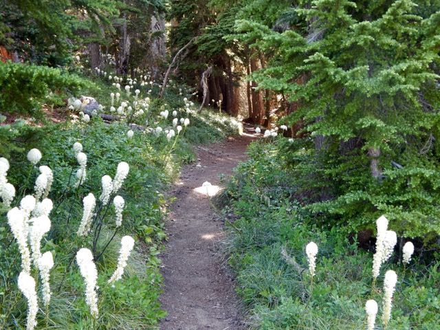
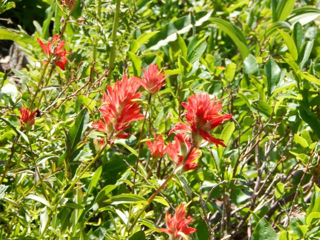
The vegetation seemed to get more interesting the higher we climbed.


We tried resting at the waterfall lookout, but Josh was getting sicker. He spoke, for the first time, of possible quitting the hike. Not only was his stomach bad, but he was feeling symptoms of altitude sickness.


Climbing back up to the road, we discussed our options. With an interested local audience.

Camp tonight was much higher (3600m) and much more remote. If we continued and Josh was to get sicker, there was no road escape route.
We could try descending and see if he improved, but if we waited too long, there may be no vehicles heading back down this afternoon.
There are a few tourists jeeps each day. And these local people movers.

Finally one of those heading down arrived. Josh made the decision. Hopped up into the truck, paying an absurd $30 for the ride back down to Dabark. Happily one of the hiking guides was in the truck. He promised to get Josh to the mini-bus station and all the way back to Gondar.
It was the correct decision. But it wasn’t easy for Nadine to continue without her husband.
I felt Josh was decided, determined and rational when he scrambled up into the truck.

Later we learned he couldn’t even remember departing. His mind was confused all the way back to Debarq where he was detained for riding illegally in the truck! 😦
Luckily he was finally allowed to take a cab the 2 hours back to Gondar, all the minibuses having departed.

At lunch we were visited by hungry goats.

Baboons live here in conflict with local farmers.

Farmers grow barley. And it was being harvested. Geladas like to eat barley. Each field has a child who’s job it is to chase away baboons.

This lovely Muslim village has 1200 people.

Our scout, Adim, lives here. So he greeted most everyone we met.

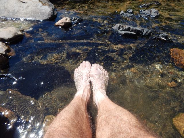
My stomach at this point was 90% OK. I’d eaten almost nothing all day. But I was very tired. It was a huge relief when we finally made camp.
I only wanted to lie down for a nap.
But as I dropped my pack, Paul ran over and said: “What are you doing? The Ethiopian wolf is here.”
We rushed to look.
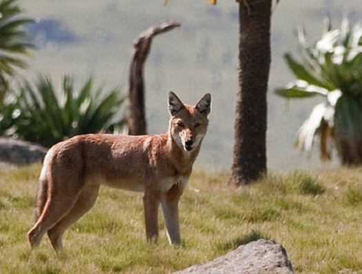
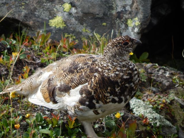
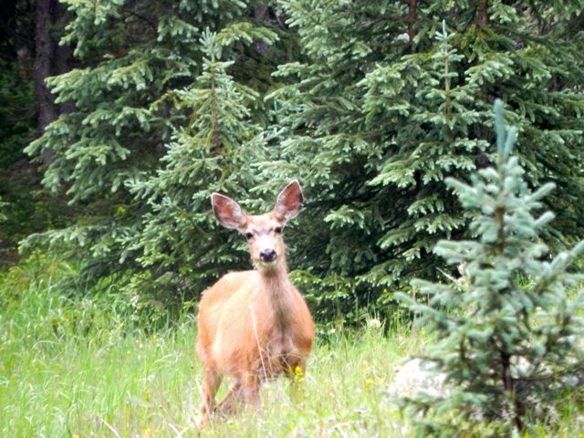
The Ethiopian wolf is native to the Ethiopian Highlands. It is similar to the coyote in size and build …
Unlike most large canids, which are widespread, generalist feeders, the Ethiopian wolf is a highly specialised feeder of Afroalpine rodents with very specific habitat requirements. It is one of the world’s rarest canids, and Africa’s most endangered carnivore. …
Only about 400 survive in 7 different mountain ranges, perhaps 90 in Simien.
Instead of climbing up to the famed sunset viewpoint with Nadine, I crashed in my tent for an hour.


Africa sunsets are the best anywhere, however. I forced myself to get up with my camera.


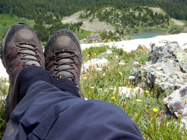
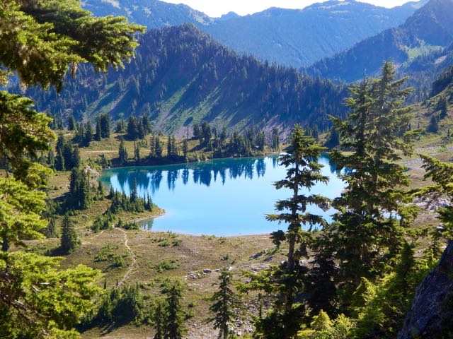
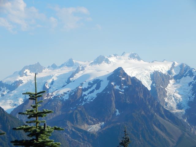
Nadine got the BIG views up high.


I ate almost nothing for dinner. Went to bed immediately. The indoor campfire was too smokey.
more photos
day 1 | day 2 | day 3 | day 4 | info

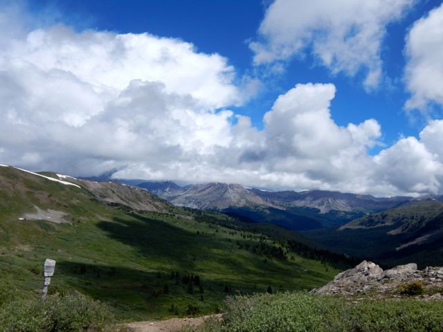
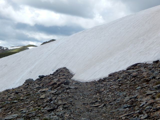
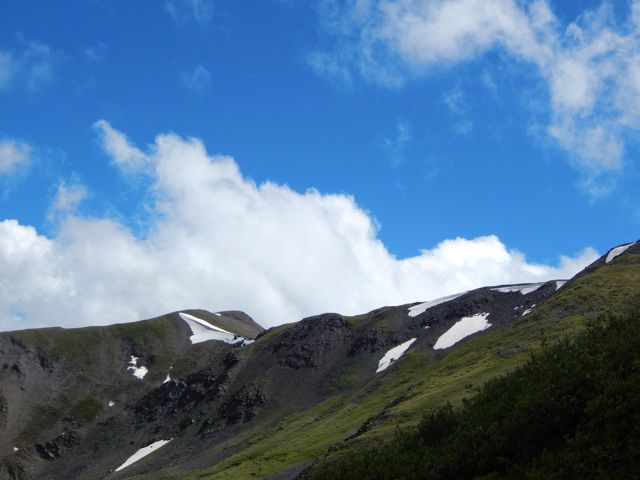
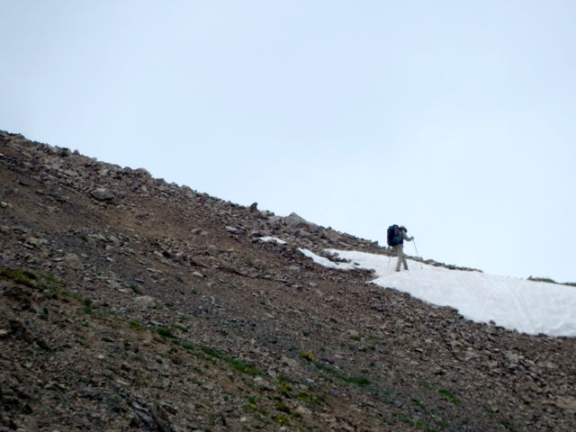
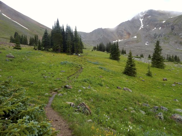
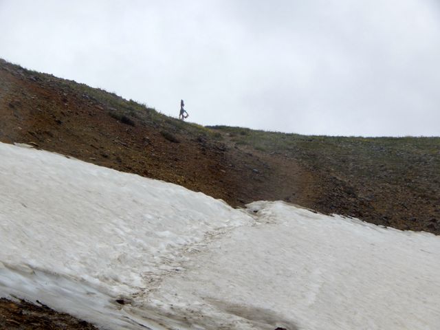
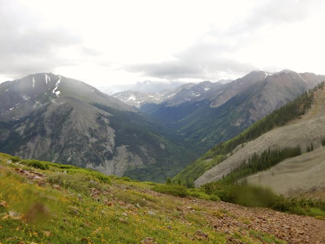
 UP – as usual – to the next pass.
 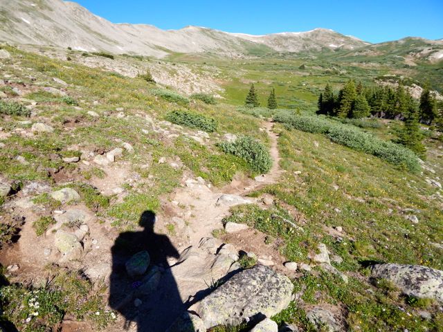 It looked imposing.
  On the other side are some buildings in Hancock.
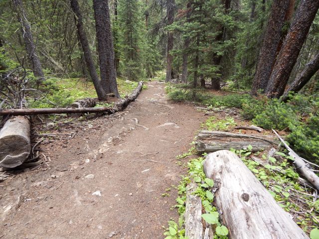
  It was a relief, actually, to make better time walking an old rail line.
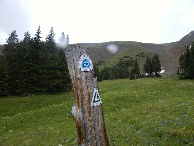
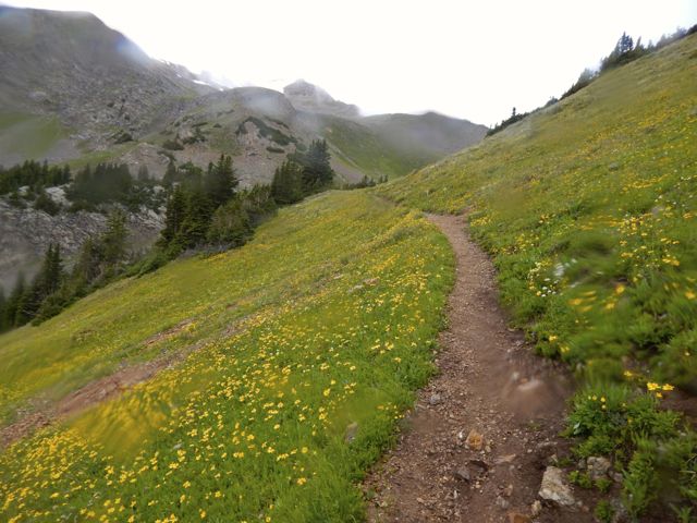
  Everyone loves the under regulation of hiking in Colorado. There are very few restrictive rules. One thing asked is that hikers register in log books as they pass by. Unfortunately each I passed was full. There were no pages left. Seems the system is broken. 😦
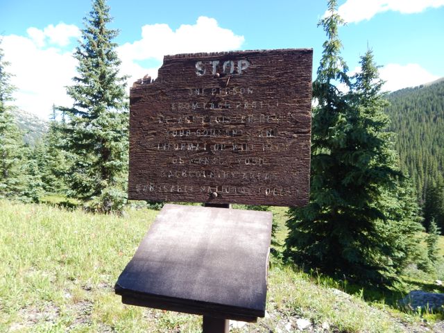 In 2015 we still walked roads along the Arkansas River head waters en route to Hancock Lake. But volunteers were there in force building the trail which will soon run parallel to the roads. I was impressed with their enthusiasm.
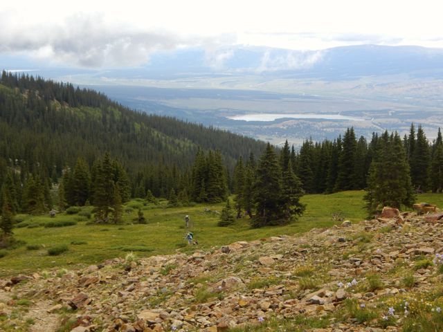
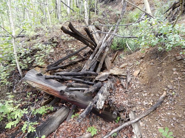
  Roads – and historical artifacts – exist in unusual places due to mining.
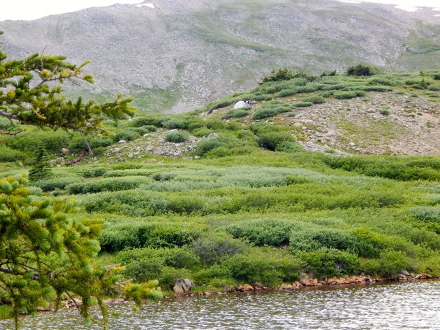
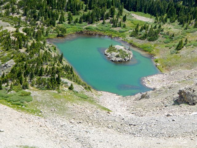
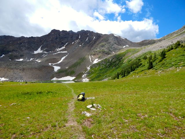
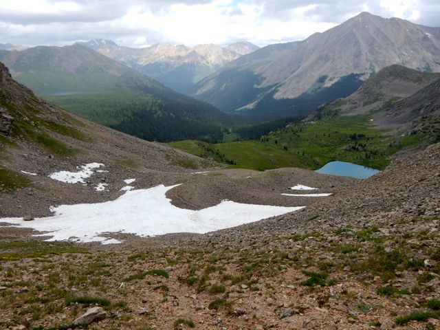
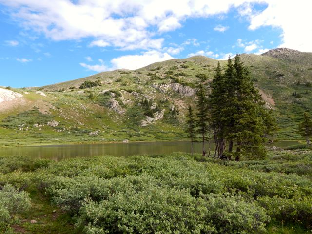
 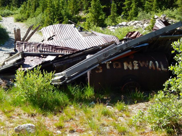 I was happy to reach this lovely spot.
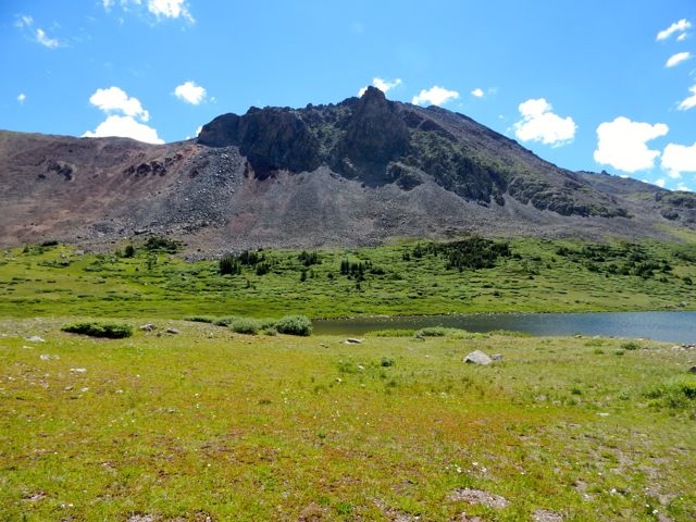
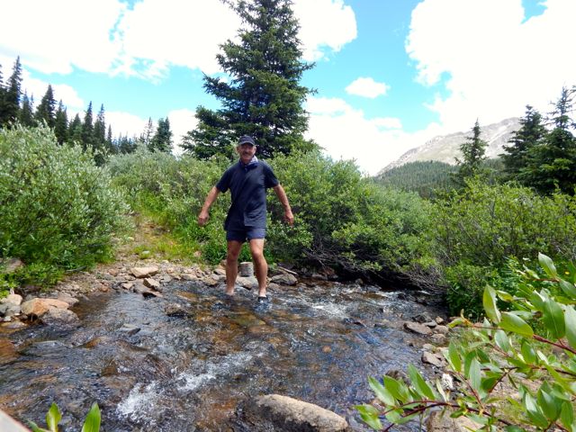
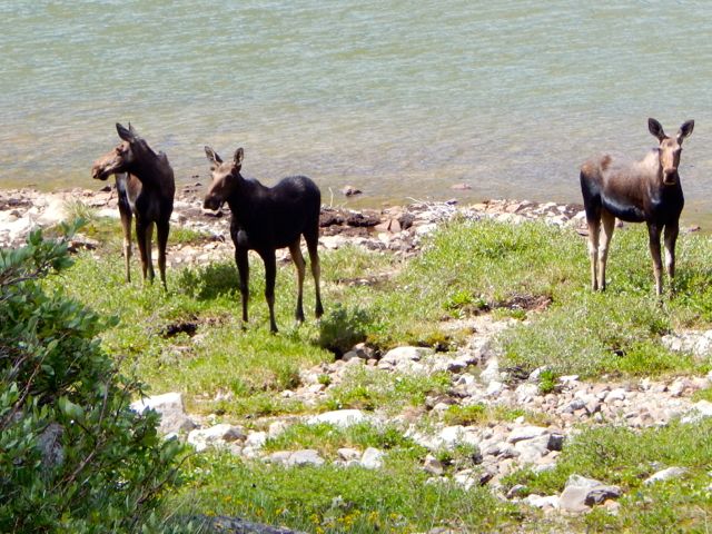
 I didn’t see the elk. But there were three moose at Upper Hancock.
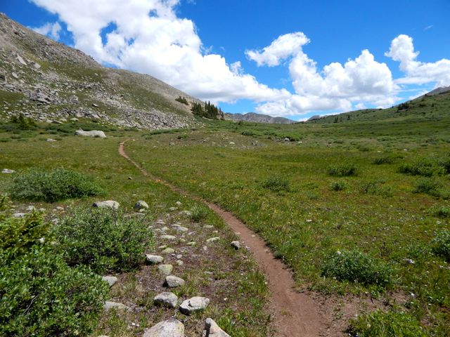
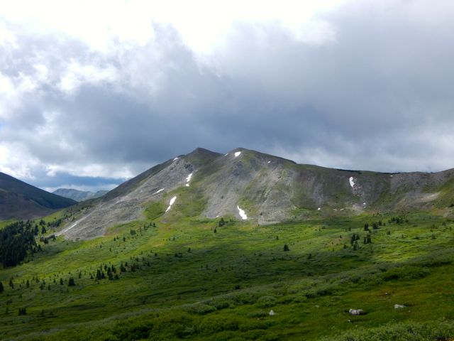
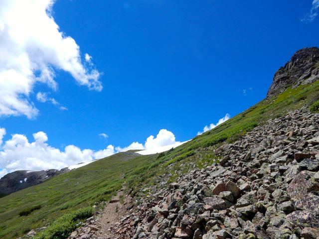
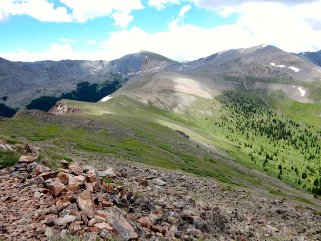
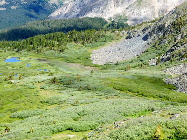
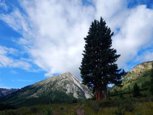
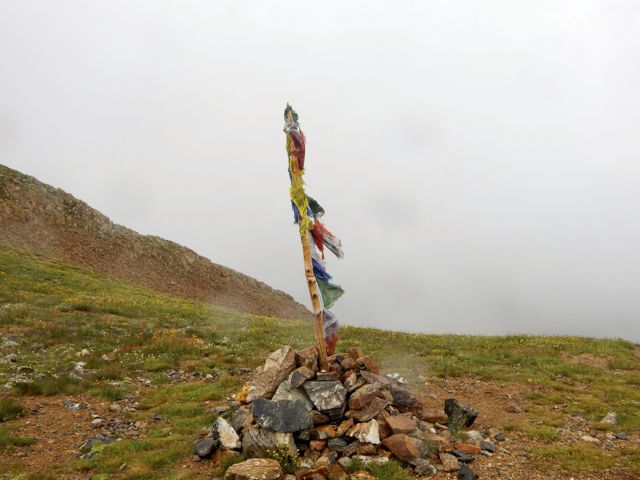
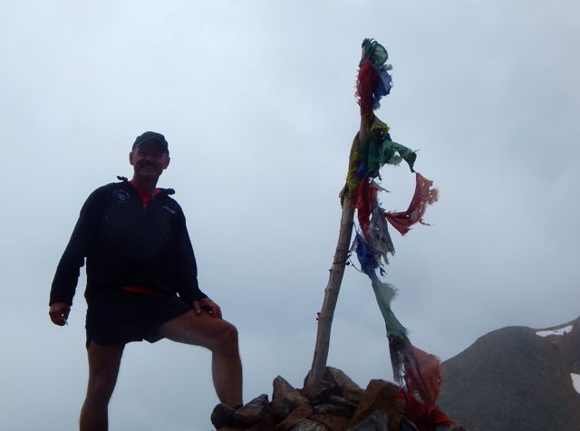
 Chalk Creek Pass was glorious. It’s a joy to get good weather up so high.
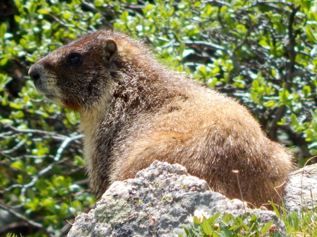
 In the heat, marmots got lazy.
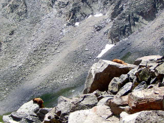
 I happened upon the empty Trail Crew camp. It inspired me to volunteer myself, one day. 🙂
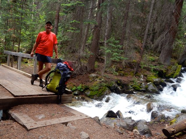
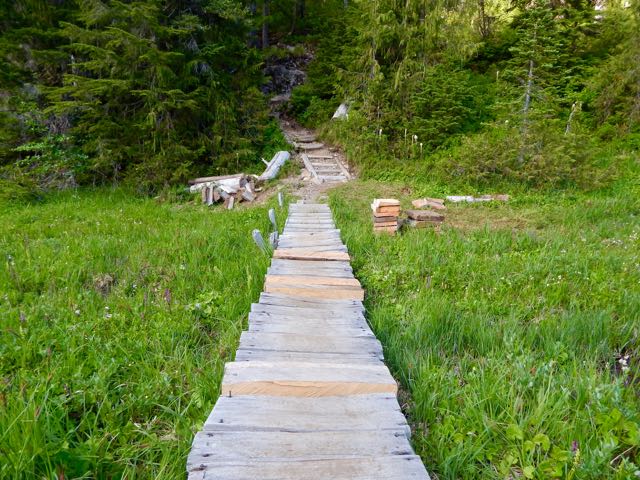
 Over the bridge. Up to Boss Lake.
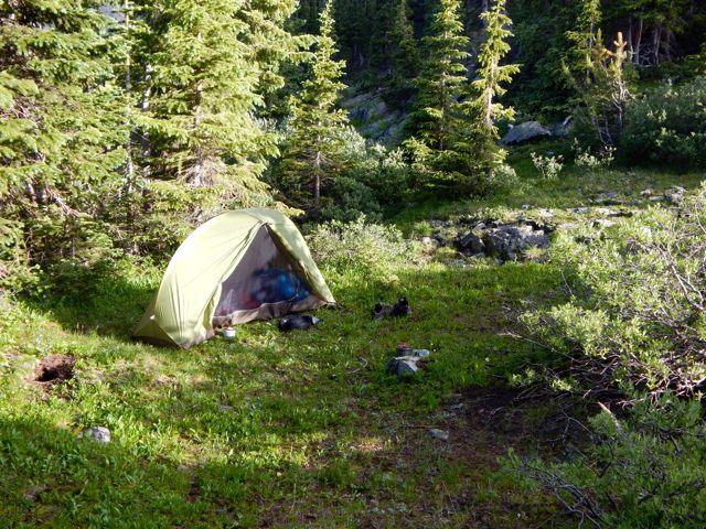
 I was keen. The weather was great. But an Austrian couple 3 weeks on the CDT convinced me I didn’t have time to make the final 9 miles so I set up at Hunt Lake.
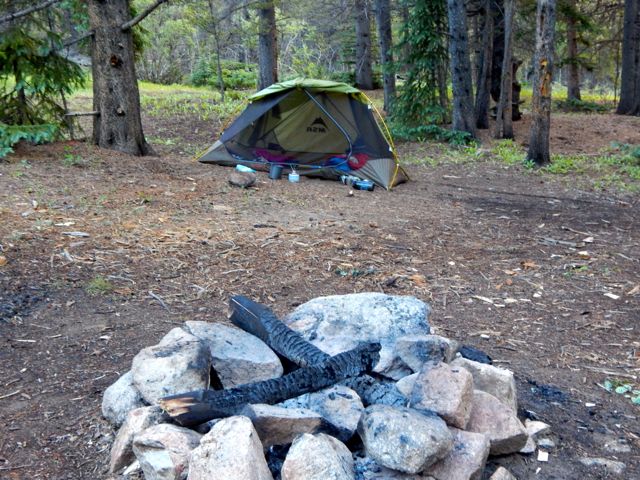
  It turned out to be the prettiest campsite of my week.
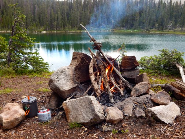


 more full resolution photos