A die hard hiker, I consider mountaineering the pursuit of egotistic masochists. While climbers are suffering in their tents at base camp, hikers are enjoying every minute of their adventure far below.
So it was with some reluctance that I signed on with my Adventure Racing Team (The FARTs) on a volcano climb. My only previous experience in the Pacific Northwest was an unsuccessful attempt to scramble Mount St. Helens some 10yrs ago.

Our trip report was inked by Chief FART Evangelist Dave Adlard … who had not carried a backpack nor slept on the ground in many years:
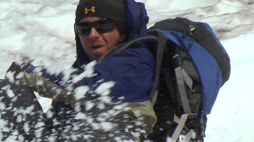
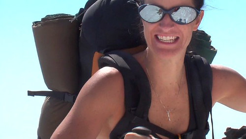
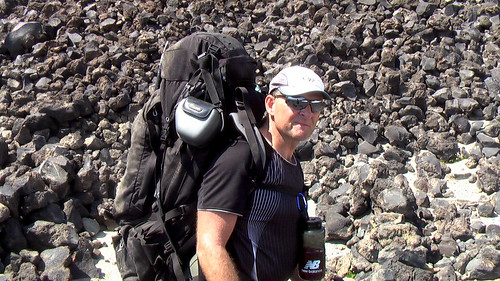
… Lisa, Morgen, Rick, Matt and Dave set out for Mt. Adams, which at 12, 272 feet, is the second highest peak in the Cascades, just behind Rainier. …
… Mt. Adams is notoriously windy and cold, but we lucked out with high temps, and essentially no wind on Saturday, and as we went to bed, the full moon was coming up — to quote Matt, it was an epic evening! …
… just after 5:00 am, we headed toward the summit, some 3000 feet and 2 miles up. …

… Overall, it was a great weekend, and we learned a TON! We hope to join the Mountaineers ourselves and take several of the classes, so that we can attack Rainier and some of the other peaks next season. It is an addictive hobby, as there is something really special about reaching the top, with the great efforts required. It was also a heckuva workout! …
Dave Adlard – Funtastics Adventure Racing Team – — and so they pressed on
Dave’s right. It was a fantastic weekend. And I’m tempted to do more peaks. Especially Rainier.
Or … hopefully the urge will subside. And I’ll hike the Wonderland Trail around Rainier, instead. (I assume there must be a mountain called Rainiest, as well.)
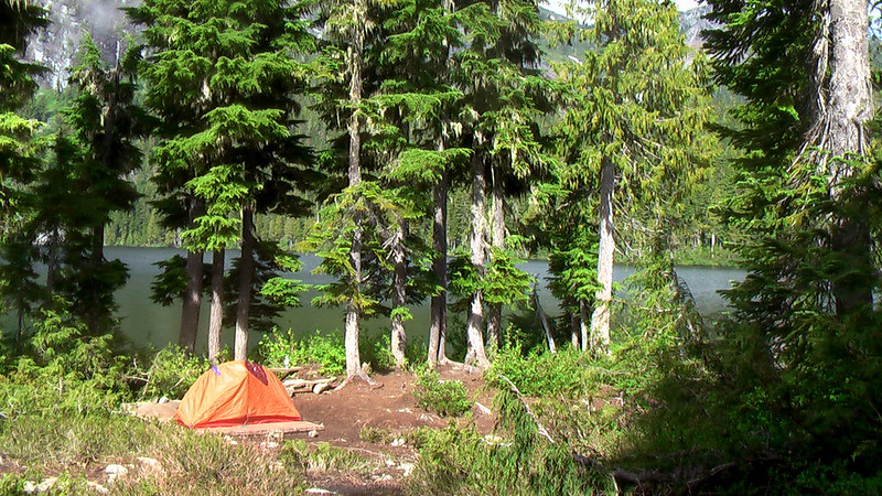
And my favourite of Dave’s photos. A basecamp tent shot with rockwall behind.

The highlight of the trip for me was sledding down the mountain on our butts!