trip report by site editor Rick McCharles
In 1809 Lord Byron wrote to his friend Francis Hodgson, “I must just observe that the village of Cintra in Estremadura is the most beautiful in the world.”
Tourists today feel the same way. Sintra, a World Heritage Site, is a must visit side trip by train out of Lisbon.
… Attractions include the fabulous Pena Palace (19th c.) and the castle Castelo dos Mouros (8th or 9th century, reconstructed in the 19th century) with a breath-taking view of the Sintra-Cascais Natural Park, and the summer residence of the kings of Portugal Palácio Nacional de Sintra …
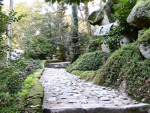
Almost everyone exiting the train hops on a bus tour. But much better is the short walk through town and up to the Castle of the Moors.

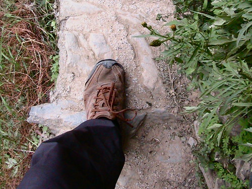
Here are a few photo of my jaunt up the mountain, starting in town.

Signage of the goal …

The walk up is evocative. You can imagine yourself hundreds of years in the past.
Gate guard at the Castle playing with a feral cat.

I played with the weird animals at Parque da Liberdade on the way down.

I can’t add it to our list of the best hikes in Europe, but a walk up from the train station is far preferable to taking the cattle tourist bus.
See more of my photos from this day hike.
More interesting photos of this destination.