I quite like these.
Especially for mountain biking in winter.
 Especially for dropping the gloves to take a quick photo in the cold.
MEC has a variety of them.

Best hikes, treks, tramps in the world.
I quite like these.
Especially for mountain biking in winter.
Especially for dropping the gloves to take a quick photo in the cold.
MEC has a variety of them.
I’m just back online after 8 days away on the Kuari Pass in the Indian Himalaya.
Detail trip report coming soon. In the meantime, here’s a glimpse of our adventure.
by site editor Rick McCharles
Sadly, I don’t think I’ll get to see Nanda Devi this trip. I arrived too late in the season.
It looks awesome, though. I’ll be back for a good 3 weeks to do it right. Best months are September through mid-October.
The best photo trip report I’ve found was by Kiran Chakravadhanula from Bangalore:
… Nanda Devi (7,816 m, 25,643 ft) is the second highest mountain in India and is located in the state of Uttarakhand. …
The main summit stands guarded by a barrier ring comprising some of the highest mountains in the Indian Himalayas, twelve of which exceed 6,400 m or 21,000 ft in height. The interior of this almost insurmountable ring is known as the Nanda Devi Sanctuary, and is protected as the Nanda Devi National Park. Nanda Devi East lies on the eastern edge of that ring …
We are a team of five. Meera and I, Lakshman the guide, Gangaram the cook and Nathuram the horseman. We buy all supplies to last us 9 days at Kathgodham. Not everything is available at Munsiyari. We need the horse to carry some of the heavier stuff. …


See the rest of Kiran Chakravadhanula’s photos:
• Days 4,5
• Day 6
Contact him if interested in his high resolution versions: kiranchakra (a) gmail.com
Long legs are a BIG trekking advantage. 🙂

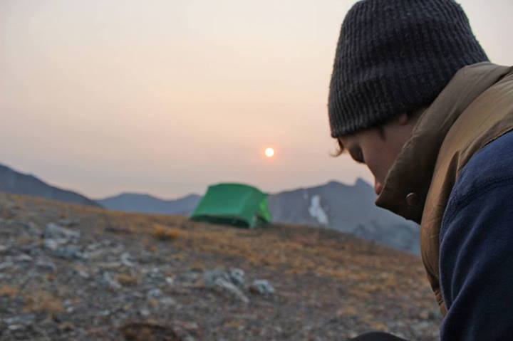
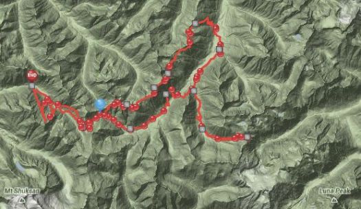
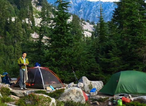
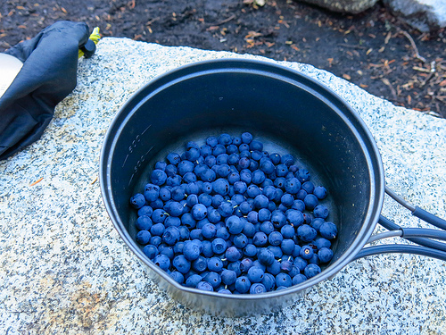
Washington State
… the sight of Mt. Shuksan‘s tumultuous, glaciated north face will have you groping for adjectives to replace “awwwe-some” or “un-bee-lievable.” Even from a distance you have to crane your neck to take in all of the massive peak.
This remote, unroaded section of North Cascades National Park brims with private pleasures for anyone willing to strap on a pack and exert themselves: thick forests, wildflower-filled avalanche chutes, alpine tarns, and streams that look like milk, thanks to the glacial runoff. …
Ilya posted a trip report starting Sept 1, 2013.

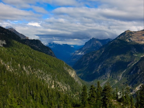
See more on flickr.
Highly recommended. 🙂
We had a terrific adventure.
The Crypt Lake Trail is one of the premium hikes in Waterton Lakes National Park in Alberta, Canada. It is accessed by a dedicated ferry service operating from the Waterton Park Townsite. …
Voted “Canada’s Best Hike” in 1981 …
The crux comes at the top.
… ledge is about 50 cm wide, and continues over to a steel ladder and access to the tunnel. For nearly 100 ft you crawl through a natural mountain tunnel before arriving at the cable traverse. This section of the hike involves a scramble along a sheer cliff, with the assistance of a steel cable. …
The hike is a total of 17.2 km round trip, with a gradual 2,300-foot elevation gain. …
I was bamboozled. … Sorry about that.
original post:
Heavens Trail – A
place in Irelandwhereevery two years the stars line upwith this path
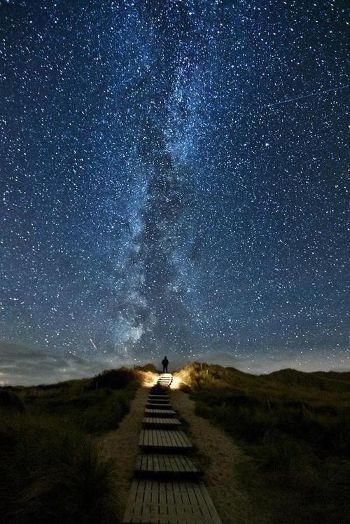
Photographer Thomas Zimmer tells the true story:
… It was at the west coast of the island Sylt, North Sea. …
That’s Germany, not Ireland.
I walked over the dunes and took the wooden stairs down. I took a last look back. An amazing view showed up. The Milky Way was right above the stairs. But I was so exhausted, hungry and cold. I almost wanted to give up, but then I made a last effort, and tried a final shot.
It looked good, but something was missing there. I first tried to light up the stairs with the flashlight. Looked better, but not what I wanted. It needed a human being in the image. Unfortunately, nobody was there for miles except me. So i set up the self timer, fired it and run up the stairs with the flashlight on. On top, I shut off the light and tried to stand still for 30 seconds, the exposure time. …
Thanks Dana.
When Swiss photographer Gus Petro took a trip to the United States last year, he was struck by the juxtaposition of “emptiness and density.” …

See more like that – This Is What It Would Look Like If You Dropped Manhattan Into the Grand Canyon
This photo of a bridge in Claviere, Italy, about 80 km west of Turin, on the border with France has been widely circulating on the internet.
Looks like FUN. 🙂

Thanks Dana.