Saysutshun (Newcastle Island), Vancouver Island

Trip report by BestHike editor Rick McCharles

Saysutshun (Newcastle Island Marine) Park is a family friendly adventure, accessible only by foot passenger ferry or your own boat from NanaimoBritish Columbia, Canada.

I put my bike on an intercity bus. Then rode the fantastic Nanaimo bike trails to get to the ferry.

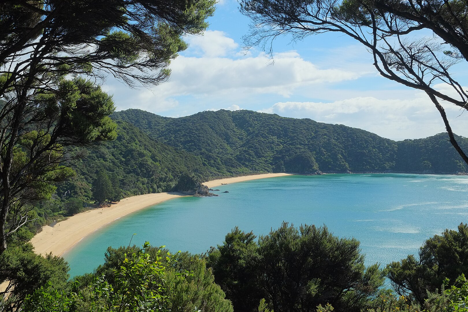
It’s a quick, scenic trip over to Saysutshun.

Many simply kayak over to the island. It’s quite protected and safe.

I believe it’s obligatory 😀 to take a photo at the first totem pole.

There are a number of trails to explore on foot and (some) on bike. I did both.

Most day trippers spend about 2 hours walking the trails.

With frequent stops for photos.

Surprisingly, coal was mined here 1853 – 1882. Hence the name, Newcastle.

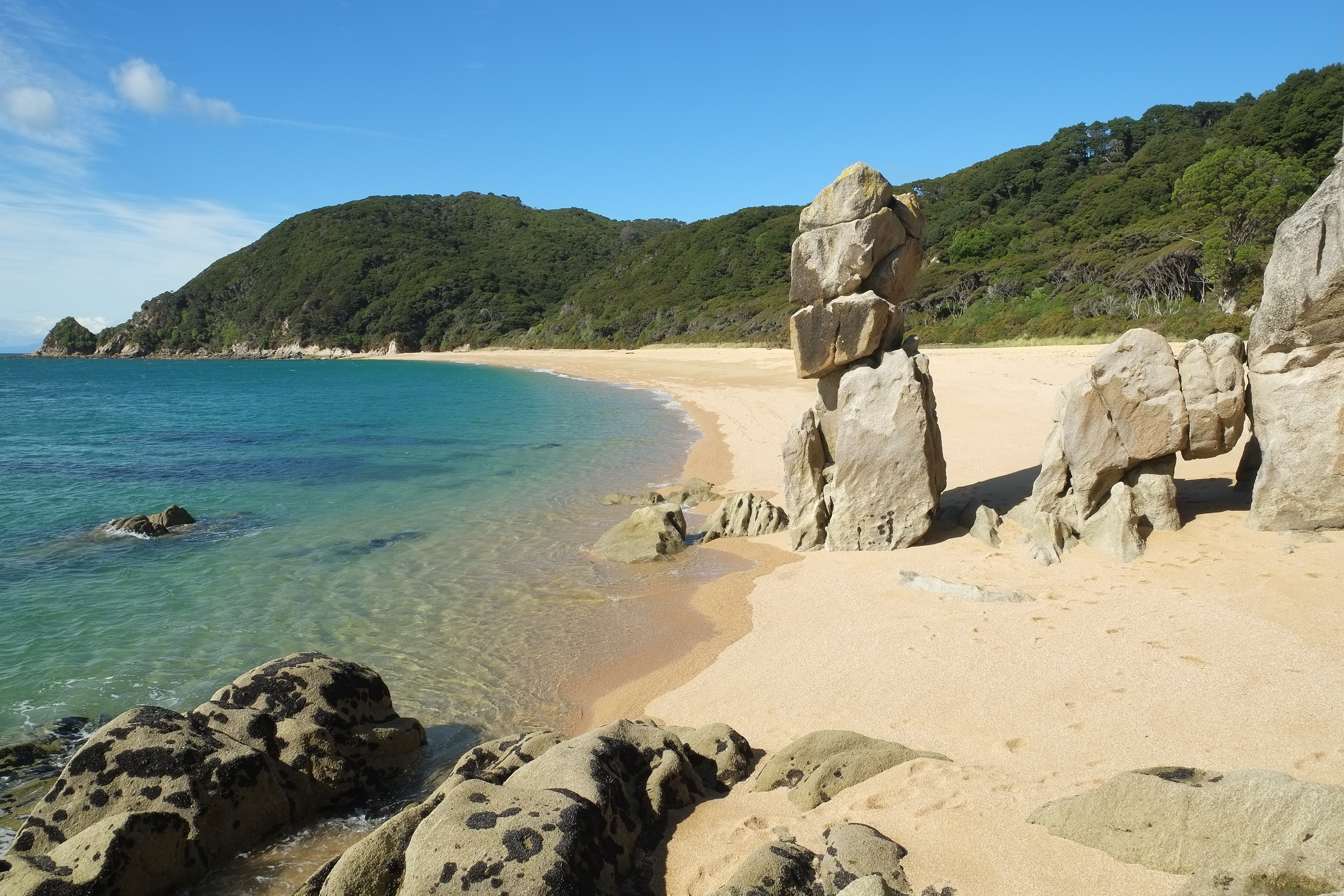
The rocky shelf is perfect for exploration.

Most fun for me was exploring some of the boat wrecks at low tide.

As you can see 😀, I pushed this one boat back into the ocean.

Here’s the one I might want to salvage. 😀

Click PLAY or watch it on YouTube.

You are almost certain to see some of the Nanaimo ferries.

Sandstone quarrying began on Newcastle Island 1869. There is plenty of evidence of that stonework, even today.

Happily, you can still see some huge old growth trees.

I saw many deer. A few rabbits. None of the worrisome racoons.

For the first time at Saysutshun, I camped one night.

18 walk-in campsites are located in a quiet forested area a mere 5-minute walk from the docks.

Five group campsites are also available that can accommodate up to 50 guests.

Potable water is available along with flush and pit toilets, hot showers, and food lockers to protect your rations from local raccoons!

With no cars allowed on the island, the quiet is serene, with nothing but the sound of the ocean, birds and wind in the trees. And with no bears or cougars on the island, there is little worry of any alarming wildlife encounters.

Sites are available on a first-come first-served basis, but reservations are highly recommended.

Reservations can be made through the BC Parks online reservation system.

It took 3 tries and 2 different email addresses to get my campsite booked. Also, you have to book at least 48 hours in advance.

The campsites weren’t full in early June. But group sites were packed with school kids. Having fun.

I enjoyed most cycling and hiking after the last ferry returned to Nanaimo. It’s very peaceful.

I highly recommend you visit Saysutshun (Newcastle Island Marine) Park if you get to Nanaimo.

Top 10 Coastal Hikes ➙ Abel Tasman, New Zealand

Abel Tasman Coast Track is one of our top 10 coastal hikes in the world.

Anatakapau Bay and Mutton Cove

Why?

  • one of the Great Walks
  • most popular multi-day hike in New Zealand
  • 54.4 km easy coastal hike (or kayak)
  • 3-5 days to complete
  • huts and campsites available for a fee
  • tide dependent
  • booking in advance is required
  • access by road or water taxi
  • idyllic multi-hued sand beaches; swim calm crystalline seas; enjoy awesome sea vistas from atop rugged cliffs
  • fascinating & photogenic tidal estuaries
  • stable, warm summer weather
  • open year round. Kiwi Autumn (February, March, April, May) would be our favourite months.
  • easy to access and organize
  • one of the best hiking options in New Zealand for families, children & groups
  • in case of injury, illness, fatigue, etc., you can escape by water taxi
  • you can fish. Check with DOC for permit details.

For details, click over to our Abel Tasman Coast Track information page.

Border Route Trail, Minnesota

The Border Route Trail (BRT) is a 65-mile trail spanning the Boundary Waters Canoe Area Wilderness, an expanse of rolling hills, lakes, and forests that is a paradise for canoeists. 

The BRT is isolated, challenging, logistically difficult to get to, and it’s worth every step. …

The Trek

Warning. Parts are overgrown. Click PLAY or watch it on YouTube.

500 Days in the Wild

Dianne Whelan is making a film about her solo adventures on the non-motorized Great Trail (the Trans Canada Trail).

From pushing 150-pounds of bike and packs over rocks, to hiking through flooded bogs, paddling the largest lake in the world, snowshoeing through dense coniferous forests, skiing across wind-blown plains, the trail beckons.

Dianne travels the ‘Old Way’, the slow way of the turtle,seeking wisdom from those that live close to the land, asking the questions “what have we forgotten?”

“What do we need to know?”

500daysinthewild.com

Click PLAY or watch a teaser on YouTube.

related – Is it called the Trans Canada Trail … OR Great Trail?

movie – first kayak descent in Greenland

Into Twin Galaxies

These three are crazy.

Erik Boomer, Ben Stookesberry and Sarah McNair-Landry.

National Geographic:

The intrepid trio, composed of previous Adventurers of the Year, kite-skied across the Greenland ice sheet and paddled the first descent of a wild Arctic river to win our first ever Hall of Fame award. …

Click PLAY or watch the trailer on Vimeo.

I saw the film on the Banff Mountain Film Festival World Tour in 2018.

related – Making of Into Twin Galaxies

Boundary Waters Canoe Area Wilderness

Guest post by Benjamin Biancini:

A fusion of hiking and canoeing. The BWCA Wilderness is unique to all other US national parks.

There is nothing that comes close to the uniqueness of the Boundary Waters Canoe Area Wilderness, located in Northern Minnesota.

In the USA mountains are plentiful, oceans and hiking trails are all over the place, then what makes this place so special? In the BWCA there is just as much lake coverage as there is solid ground, this makes trekking it a biathlon of hiking, canoeing, and repeating it again and again.

There are no motorized vehicles allowed in the 1,000,000+ acre wilderness. This means you must park at the edge and paddle onto the first lake with your hiking and trail gear in hand. Once the first body of water is crossed you are expected to jump in the water at the landing (yes, you must get your feet wet) pull the canoe on shore, throw a pack on your shoulders and carry a canoe over your head while hiking long distances to the next lake.

So why is the BWCA so unique? It’s a balance act of paddling, followed by hiking through the forest with 50+ lbs of weight on your shoulders. Watch out for boulders because there’s no easier time to sprain an ankle. The vast differences in area to cover between lakes also make each portage exciting, they can be anywhere from 100 yards across to 10 miles, lakes apply to the same rules. You can canoe across a pond then plan on hiking miles and miles through the woods until you get to the next one.

Here’s a tip that I learned from experience. When it’s windy make sure you stay near the shore, not out in the middle of the lake. You’d think this would be common sense, but it isn’t. Several years ago we tipped our canoes over in the middle of a 7 mile lake and lost some of our gear. We learned from that mistake and certainly won’t repeat it.

So why does anyone engage in such a hiking-canoeing expedition?

The BWCA is home to some of the most deserted lakes in North America. With freshwater fish species booming and ready to be caught and grilled over the fire, there really is nothing like it. Hunting permits are granted during season however no firearms are allowed, only archery. All food must be backpacked in on each trip and of course all trash items have to be taken back out.

The bonus of the BWCA is that you can endlessly paddle and hike into the wilderness. If you want peace and quiet plan on moving in at least eight lakes and eight portages because it will separate you from the Boy Scouts that only scratch the surface. There are survivalists that go into the wilderness during the spring, and don’t come out until fall time. The BWCA is an endless maze of wilderness.

My favorite part of trekking the BWCA is this: after a long day of juggling rocky portages and windy lakes, anything over the campfire tastes good.

Ben Biancini of The Reliable Series – helping outdoor enthusiasts find locally made gear

Bwca_map

bike, hike, raft – Cataract Canyon

3 days, 75mi+

Mike:

I had a funny idea a few months ago: Colorado and Utah are at the low (we hope) ebb of a 10-year drought cycle, meaning our trails are desiccated and our rivers low.

… it occurred to me that this would be an *ideal* time to use fatbikes to access Cataract Canyon, taking advantage of the low flows therein to float it with packrafts.

Big Wheel Building

Click PLAY or watch it on Vimeo.

Here’s another VIDEO edit from the same trip.

(via Hiking in Finland)