New Zealand.
Click PLAY or watch it on YouTube.
(via unofficialnetworks)


Best hikes, treks, tramps in the world.
Cam was warned off this (supposedly) dangerous part of the world. But decided to go anyway based on local information.
The Colombian Andes.
The most northern part of the world’s longest mountain range.
The hiking highlight of this month’s trip to the region was a circuit of the Sierra Nevada del Cocuy …
59 miles (95 km approx.) …


related – best website – pnncocuy.com
If you’ve been to Alaska, you know hiking there is challenging.
Distances are HUGE. And there are not all that many established trails.
Turns out, that’s partly by design.
GearJunkie in Denali:
The park’s 2006 Backcountry Management Plan … “Except as otherwise specified… backcountry access and travel in Denali will continue without designated routes or constructed trails to allow for freedom to explore and to minimize signs of human presence.”
Similar trail-less wilderness areas exist within Alaska, which contains more than half of all the country’s wildernesses, but Denali is by far the most popular, totaling more than 38,000 backcountry campers last year. According to Burrows, the relative ease at which visitors can access Denali’s backcountry (it’s split in two by the park road) has spurred increased exploration and cause for increased measures to keep the wilderness as Murie intended.
Very quickly after starting hiking from the park road, we ran across our faint trails, and like many of Denali’s visitors we opted to take the path less traveled, spread out to disperse our impact and take advantage of a wilderness experience unlike anyplace else.
Bushwhacking Encouraged: Denali Strives To Eliminate Ad Hoc Trails
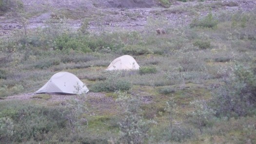
In 2013 Justin “Trauma” Lichter and Cam “Swami” Honan completed a 381 mile (613 km) traverse of Mexico´s Copper Canyon region. A first thru hike.
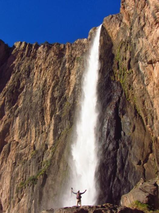
The traverse was a combination of hiking, packrafting, swimming, bushwhacking, scrambling, crawling and weaving our way around clandestine drug fields.
Our route linked together the six major canyons (along with numerous minor ones) that constitute the Copper Canyon region. It took us from the region’s northwest corner (Basaseachi Falls) to its southeastern limits (Sinforosa Canyon). In the order in which they were traversed, the canyons were as follows:
Candamena
Oteros
Copper
Urique
Batopilas
Sinforosa
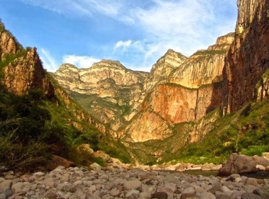
Walk 84 miles from coast to coast following the World Heritage Site of Hadrian’s Wall, past Roman settlements and forts. There’s history every step of the way, and cosy pubs, bustling market towns and great views too.
The WCT is our favourite hike in the world. 🙂
The 75-kilometre West Coast Trail is getting repairs to bridges, ladders and other sections, as part of $33.6 million in funding announced for Parks Canada.
The money is the largest federal infrastructure investment in Parks Canada since its formation 104 years ago, said Vancouver Island North MP John Duncan. …
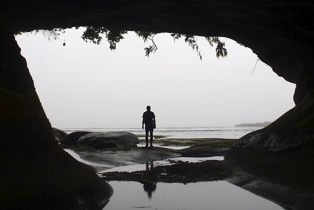
trip report by site editor Rick McCharles
day 1 | day 2 | day 3 | day 4 | info page
Straight Creek – seasonal Spring
No rain last night.  I hadn’t needed to put the fly on the tent!
Mixed forest hiking. Often the Colorado Trail here traverses high on the mountain between alpine meadows and scattered trees. 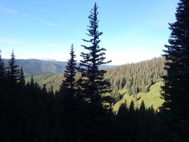
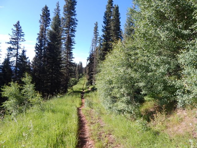 With more good weather, I’d planned to push hard again and hike perhaps 26mi to Taylor Lake. Otherwise I’d need to stop before the last available water at around 20 miles.
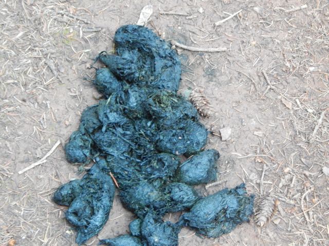
  I met an older couple from Nebraska riding the Continental Divide over a number of years. They’d camped near the first serious bear scat I’d seen in Colorado.
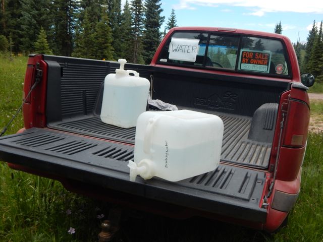
 Water is short on this high, ridge walking section. Trail angels had left this behind (empty) …
 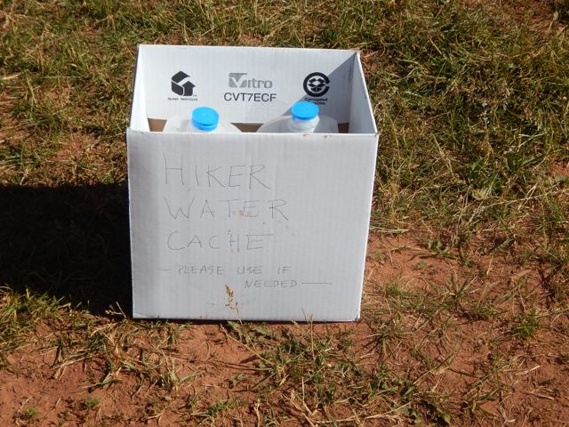 … and somebody up day biking left this.
  At many downhill fallen logs, I took a short rest.
  One of the few complaints I have about this trail is road walking. Old mining and logging roads are everywhere.
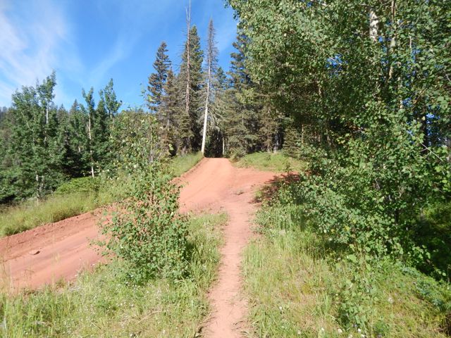
 There are very few motor vehicles, but I’d be happier if they’d route actual trail to avoid them completely.
Signage is quite good. But it’s possible to get lost for short periods of time. Some hiker had taken the time to post this helpful note. 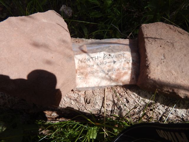 The best sections have open views for long periods.
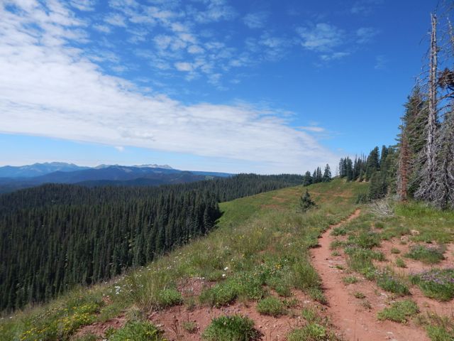
 A lovely day to be walking in the mountains.

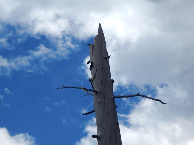
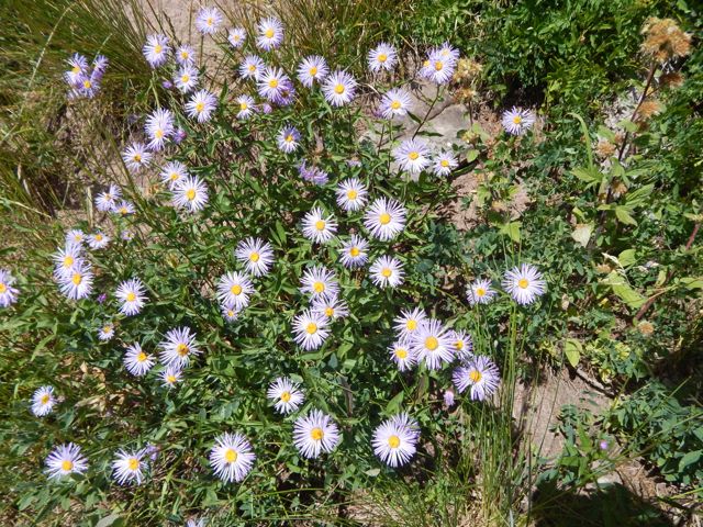
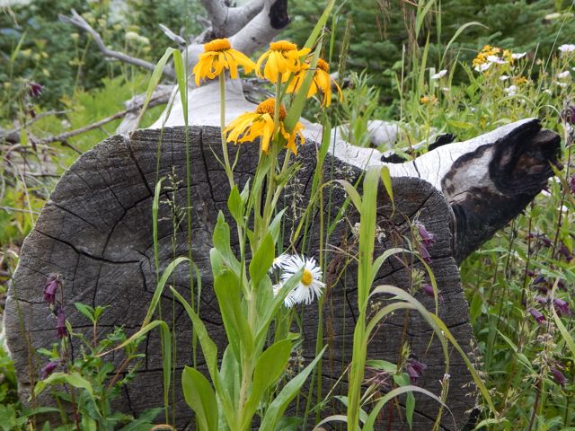
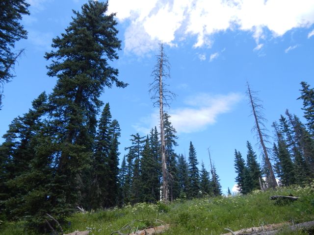 Wildflowers a constant delight.
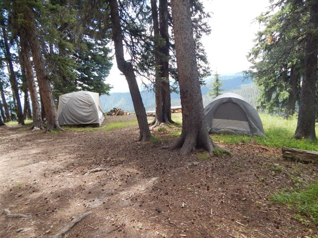
 These guys are camped here with motor vehicles.
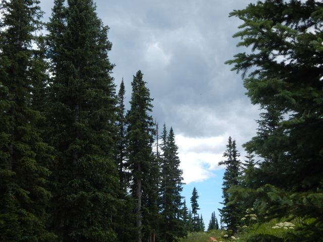
  As feared, the skies darkened above the high, exposed ridge I hoped to cross. There’s not much trouble with bears here. But lightning kills hikers every year.
  When it started to rain about 4pm, I decided to give up my attempt to make it to Taylor Lake.
 That decision was probably for the best as shinsplints (?) in one leg started to act up. (An old gymnastics injury from my youth.) I’d been pushing too hard with too heavy a pack, I guess.
This would delay my return to Durango by a day. But no big deal. I’d no plane to catch.
Charcoal I’d found on the trail wasn’t actually all that much help getting my fire going. So I cheated with my camp stove. 🙂

 more high resolution photos of day 3
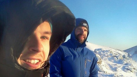
Thinking of Étienne Lemieux and Louis-Vincent Lessard today. 😦
Police in New Zealand believe two bodies found in avalanche debris are Louis-Vincent Lessard and Étienne Lemieux, two Quebec travellers who went missing during an outdoor adventure trip. …
The first body was found over the weekend in a field of avalanche debris about 350 metres below the Kepler track, where the two had planned to go hiking. A second body was discovered Monday at about 10:30 a.m. New Zealand time. …
“The majority of people who walk the Kepler track do it in summer and there’s seldom any snow. Totally different story in winter, when large volumes of snow can fall in that area. Not many people at all walk the Kepler track in winter.” …
by site editor Rick McCharles

Eleven hikers from flat, dry central Canada – Saskatchewan – met up at Nancy’s bakery in remote Lund, B.C.

Our plan was to hike from Sarah Point to Powell River in 5 days, 4 nights. The first section of the 180km Sunshine Coast Trail.
We ended up exiting after 2 nights walking out from Manzanita hut right back … to the bakery. 🙂
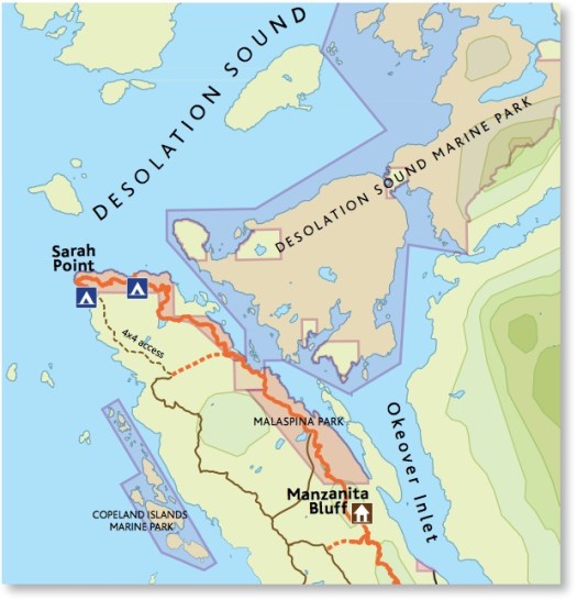
We’d booked a water taxi from Lund to the trailhead at Sarah Point.


Our skipper was excellent. The weather perfect. Yet the scramble up steep, slippery rock to the trailhead was challenging. I’d hate to do it in rough seas.

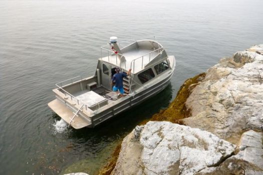
We were off. 🙂

The trail is well flagged but requires frequent scrambles over, under or around fallen trees. Our packs felt very heavy at this point.
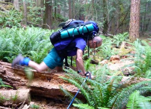
Early July 2015 the Pacific N.W. was atypically hot and humid. Forest fire hazy clouded the sky.
Mosquitoes and wasps were a real pest. Four of our group were stung over 3 days.
It quickly became evident our large group, starting late in the day, would never make it to our intended destination – camping at Wednesday lake.
Instead we dropped down to a disused campsite at Cochrane Bay. It turned out to be a lovely spot. The pit toilet (which we found the next morning) still in working order.


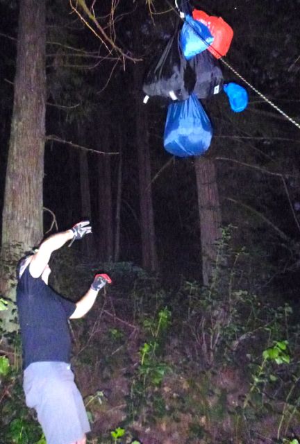
It was dark when we went to hang the food.
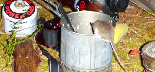
Rodents quickly pounced on my dinner pot (salmon) once I set it on the ground.
The sea a glassy lake next morning.


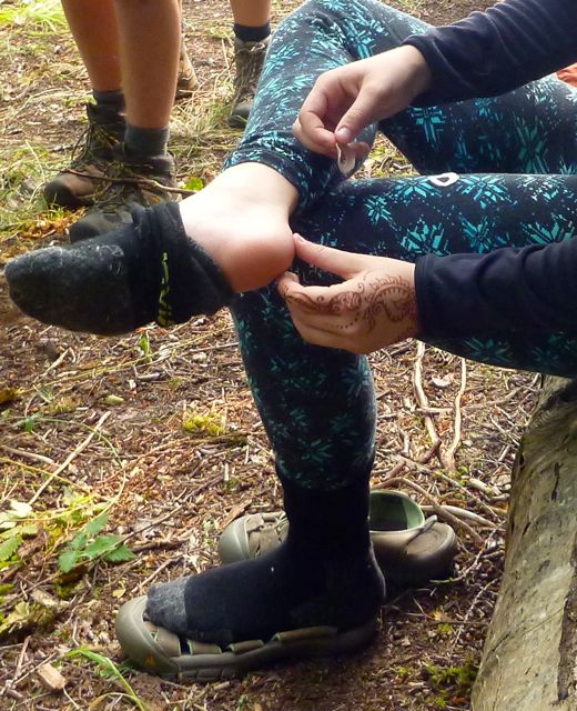
We suffered some foot and knee pain. And morning stiffness, of course.
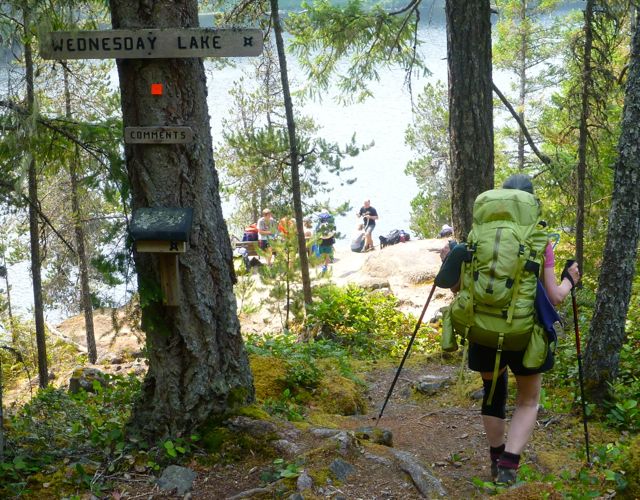
A steep, sweaty climb up from the sea brought us to Wednesday lake where we refilled all our water bottles. You need at least 3 litres / person on this dry section of the Trail.


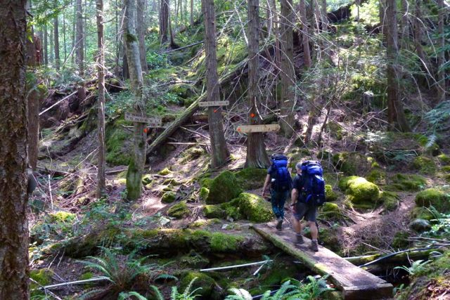
We needed this refreshing break as the climb up to the Manzanita bluff was particularly gruelling.

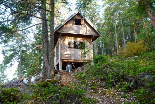
It was with relief that we arrived at Manzanita hut early in the day.
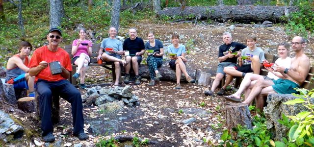
It is a treat to have tables and fire pit after the wilderness camp of the previous night.
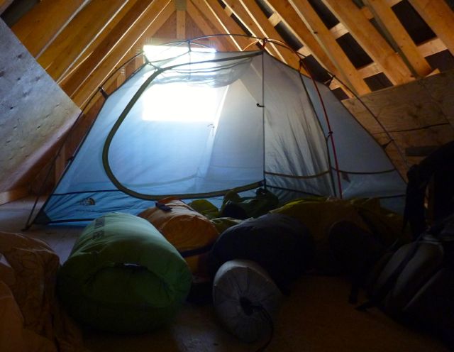
We split up some sleeping in their tents, some in their tents in the loft.
Running low on water, some of the keeners walked about 1.5km down hill to find a stagnant spring. Carried it back up. You need to treat all water on the SCT.

By morning it was decided. We were going to quit the SCT and exit to Lund. Our spiritual leader Bill Wallace and his doppelgänger consulted the guidebook, brochure map and some local day hikers to calculate the best route.

The manly men checked to see if they were strong enough for the escape … by trying to do a chin-up with full pack.


Bill leading the quitters to safety.
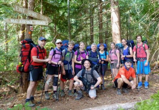
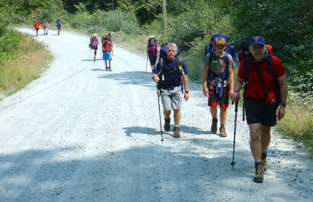
Civilization. 🙂


We checked in at the Willingdon Beach campground in Powell River. It’s a good spot, walking distance from the ferry.
The sunset is gorgeous from here. Sandy descended the steep, slippery cliff to shore faster than anyone else. 🙂
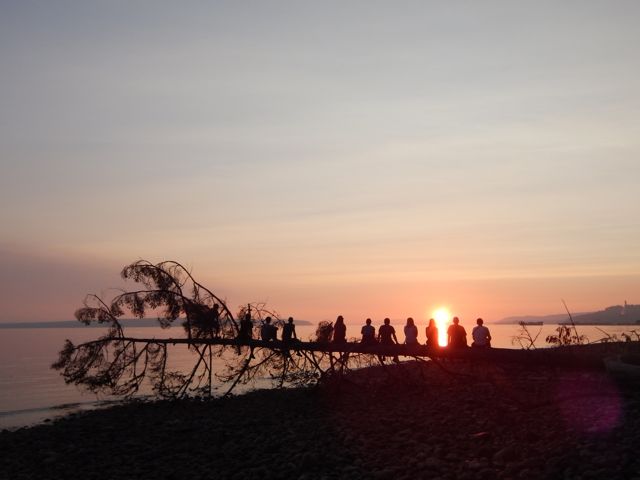
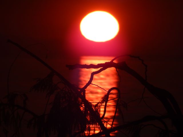
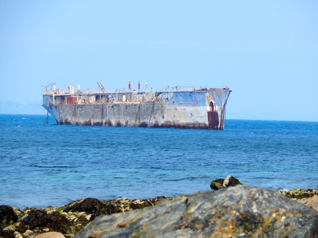
Willingdon Beach Trail was a fascinating history lesson. Much enjoyed.


With the extra time we decided to kayak Desolation Sound. It turned out to be the best day of the week!
Back to Saskatoon. Back to reality. 🙂
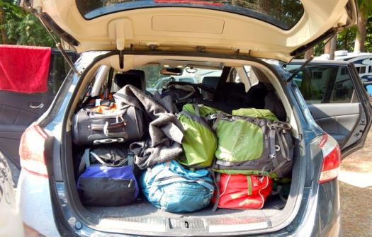
Lessons learned on the Sunshine Coast Trail:
Two ladies who had done half the Pacific Crest Trail found the long day from Sarah Point to Manzanita hut a serious day. They went straight to bed after dinner and were gone by 6am next morning. Do not underestimate this trail.
I’m hoping to get back in September / October when the bugs are less a problem. Cold doesn’t worry me.

Some of our high resolution photos on flickr. Most of those were taken by Warren Long.
besthike Sunshine Coast Trail information page
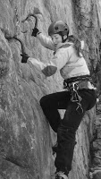 Men. You know nothing. 🙂
Forward this article by Trinity Ludwig to ladies in your hiking group. Trinity completed an 11-month 1,785-mile trek the length of South America. And knows what she’s talking about.

