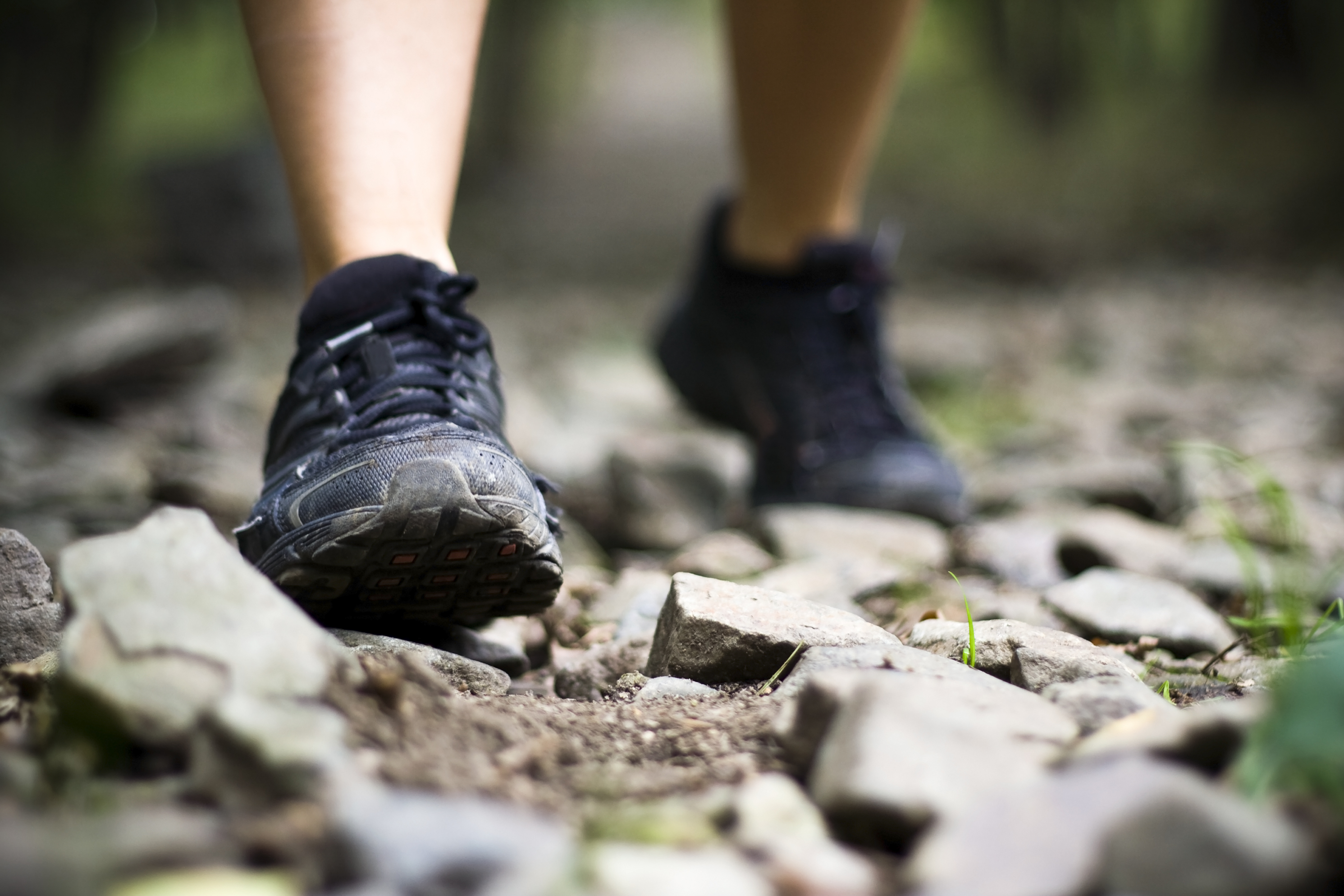
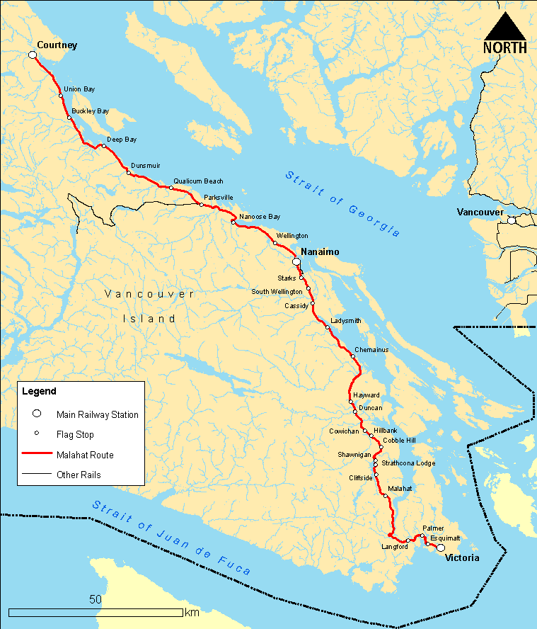
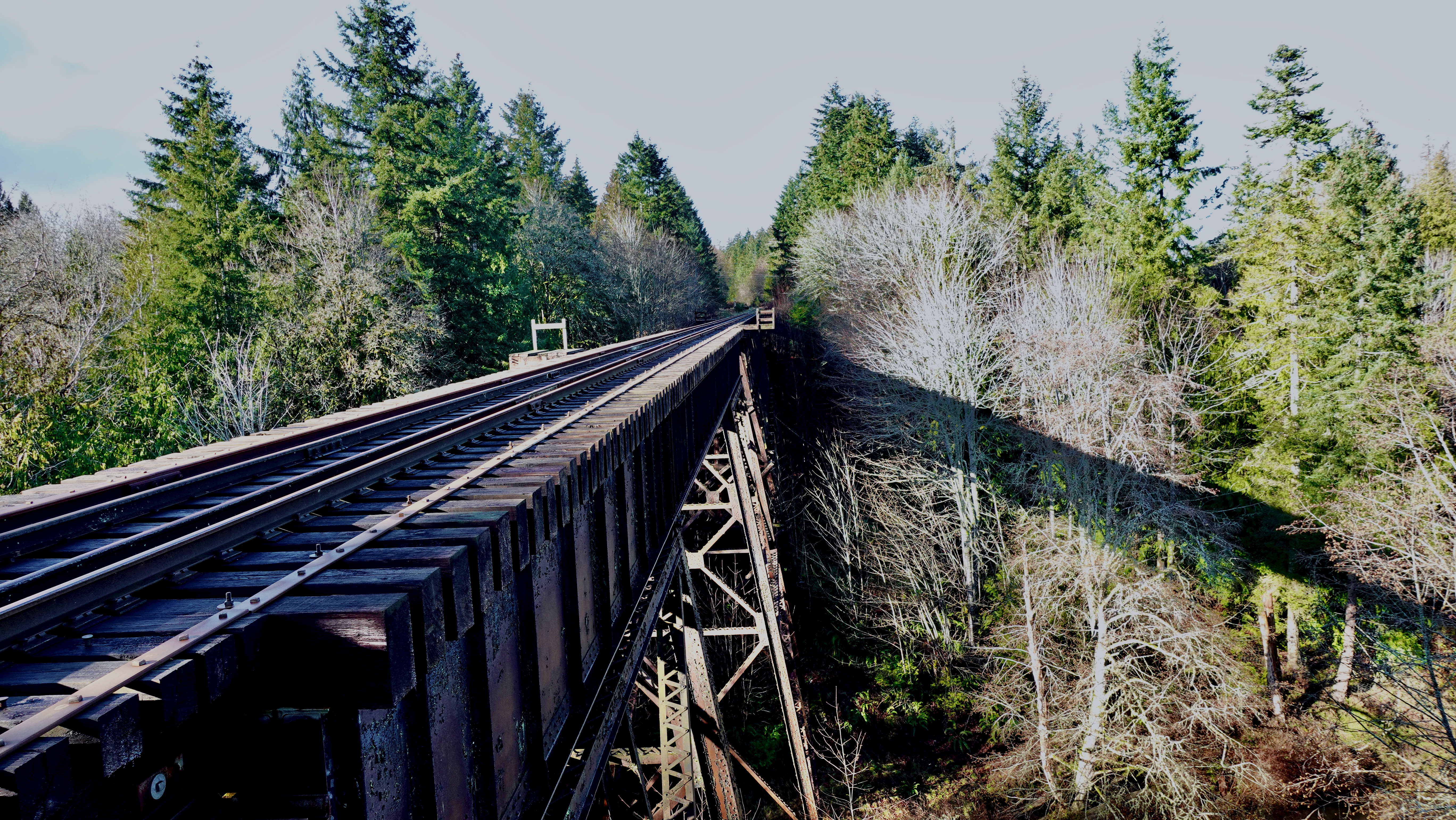
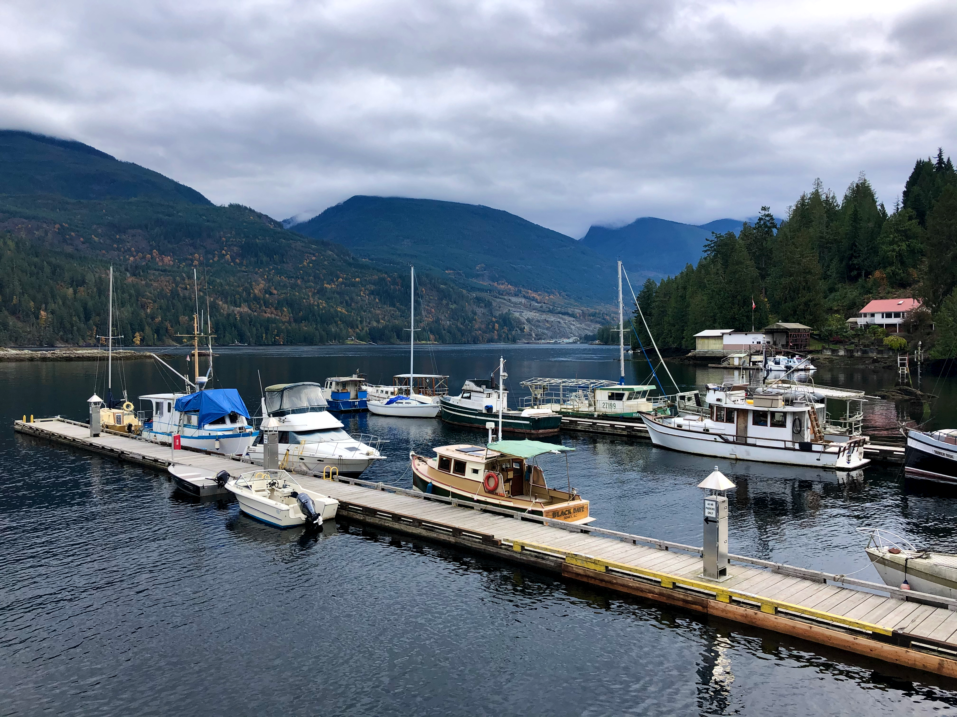
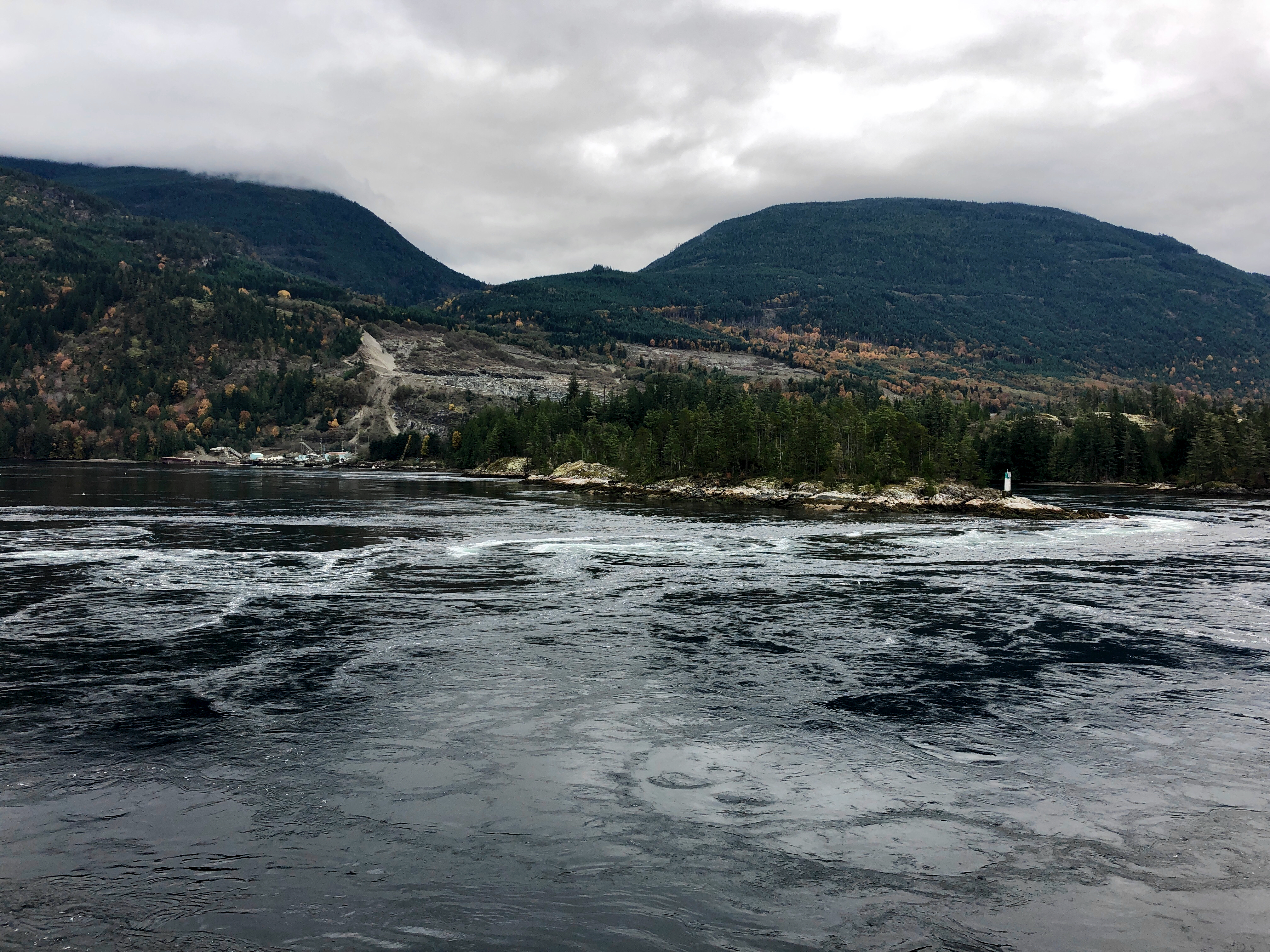
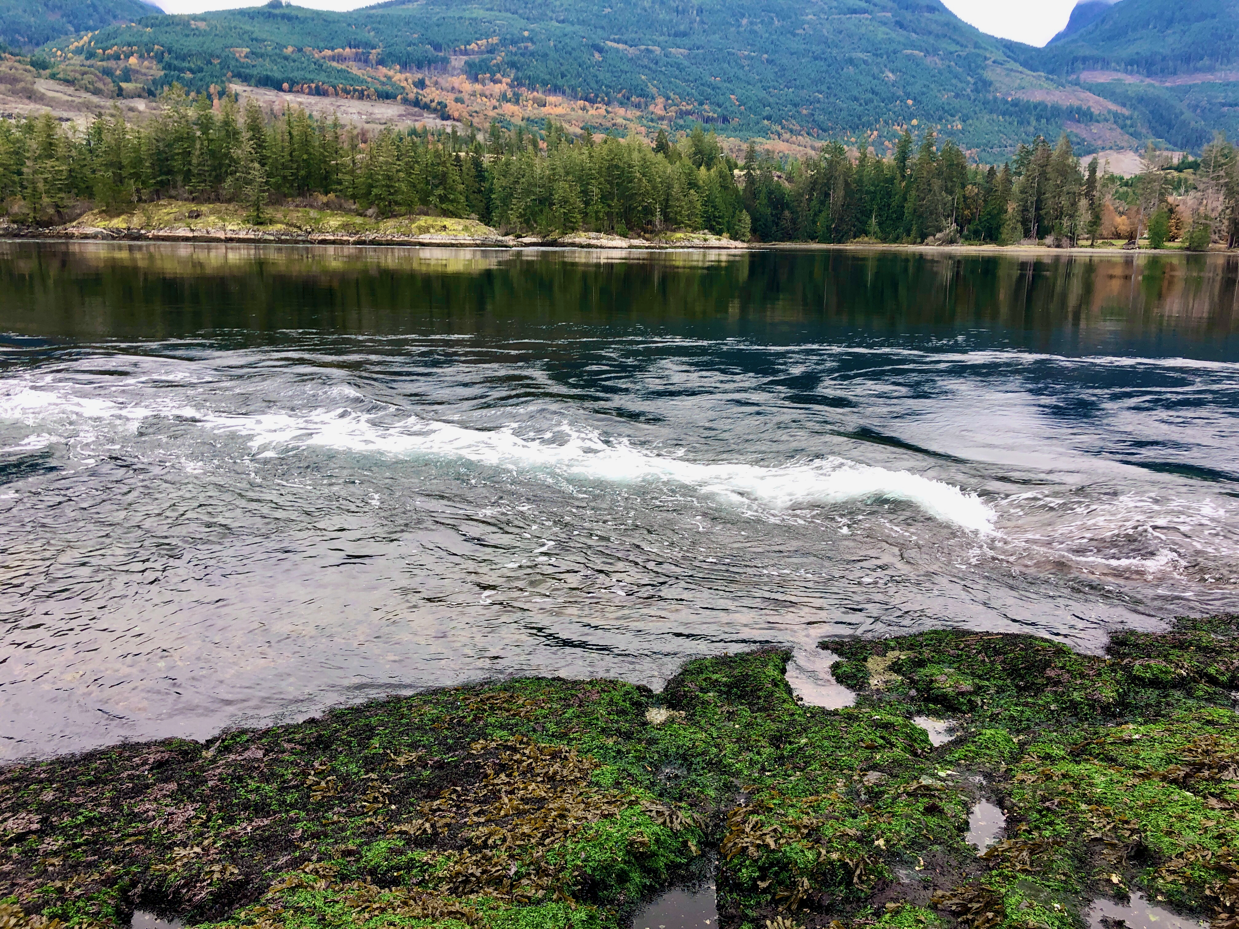
Very popular on Vancouver Island is walking alongside the disused (in 2011) Southern Railway. It’s dry. It’s flat. It’s straight. Often the shortest distance between two points.
Click PLAY or get a glimpse on YouTube. 30km between Nile Creek and Englishman River including 3 high trestles.
The British Columbia government now calls it the Island Rail Corridor. Approximately 289 km Victoria – Courtenay with connections between Parksville and Port Alberni and to the Nanaimo waterfront.
The Rees-Dart Track … mainly follows the Rees River drainage and the Dart River drainage circling Mount Earnslaw and the Forbes Mountains.
An optional side trip during the hike is to visit the Dart Glacier or further to Cascade Saddle. Being the major highlight of our hike, I consider this side trip as part of the hike. …
distance: 53.7 miles (86.5 km)
elevation change: 10,850 ft (3,307 m) ascent & 11,240 ft (3,426 m) descent
time: 5 days (24:59 hours moving)
There are 3 different DOC operated huts located along the Rees-Dart Track …