
Every once in a while I click on to The Backpacker website:

The Backpacker – home page
It’s an old school static page that turns me off at first glance. Especially the double underlined ad links. Those infuriate me. Normally I boycott any site that was lame enough to use them.
But there is some good stuff on The Backpacker if you avoid hovering your mouse over the double underlined words.
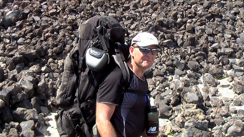
Here’s a sample trip report, for example, by Ian Williamson.
The Lumemo Trail: A Tanzanian Wilderness Experience
There are no hotels or lodges here. This is a National Park with no roads. This park is a series of mountain rangers and interlocking valleys and only experienced hikers can mange this difficult terrain. These mountains are pristine and largely untouched by humans.
The Udzungwa Mountains National park was created primarily for the protection of flora rather than fauna. The park was registered in 1992 and is the first of its kind in Tanzania. This park is a series of mountain rangers and interlocking valleys – ranging from the top of the Kilombero Valley at 300 meters above sea level to peaks of around 2,570 meters above sea level. Only experienced hikers can mange this difficult train. Making these mountains pristine and largely untouched by humans.
The Lumeno trail is 65km long and follows the path of the Lumeno River, which is sourced in the heart of these mountains. There are three campsites along the trail that are roughly spaced at 7 to 8 hour walk intervals. They are basic campsites. Remember in Africa basic means just that, basic — simply a peace of ground cleared for your tents. It usually takes three to four days to complete this hike.
The trail passes through three types of vegetation: Miombo Woodland, Grassland and forest. Some of the wildlife you may see on this trail is the, red colobus & black and white colubus monkeys, yellow baboon, sykes monkey, sanje mangabey, bushbuck, waterbuck, bush pig, buffalo, elephant and red duikers. …
We recommend hiking of this trail to be done in the dry season — June to November — as in the rainy season the river becomes swollen and turbulent making the river dangerous to cross. The flooding can also hide crocodiles, which can be a greater danger than the swollen river.
This is not an experience for the faint hearted, however, if you love the wilderness this is an experience not to be missed.
The Lumemo Trail: A Tanzanian Wilderness Experience
Also check out their backpacking tips page. Their USA Trail Reviews by State. And much more content uploaded by their community.

related: Lumemo River Trail – Authentic Tanzania


 This mountain was one of the reasons I wanted to come to Venezuela, and it didn’t disappoint. I have plenty of gripes about the tour, even though we went with the company that is supposedly the best, and is the most expensive. Just little things like not quite having enough food and “guides” who know the way but aren’t very informative. This last complaint is a recurring theme so perhaps I am at fault. And our poor guide went way beyond what I think is required in giving up his sleeping bag for a girl who had stupidly got hers wet, and also fixed boots on the top of the mountain.
