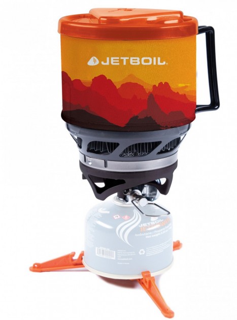
In recent years I’ve been using the JetBoil MiniMo.
I cook and drink out of the one pot.
I love the convenience of the piezoelectric igniter. The auto-igniters on early JetBoils FAILED quickly, but they seem to have solved that problem now.
You can fit an 8oz canister in the wider pot of the MiniMo. You can also fit a 4 oz canister along with the MiniMo’s burner in its pot sideways. That’s handy.
I don’t need simmer so that’s not a selling point for me.
The MiniMo replaced my much used MSR Reactor.
The best thing about the Reactor is that it is NOT locked on to the stove. I find it safer.
MSR Reactor
Both those stoves might be nearing end-of-life. … Or they may keep working for another decade. Both are bashed up.
So in advance of my recent, remote Patagonia trip I bought a new stove …
Overall, the top health problems reported were blisters (57 percent), sleep problems (57 percent), pack strap pain (46 percent), knee/ankle pain (44 percent), and back/hip pain (43 percent).
Another 37 percent reported altitude sickness. Given that the trail is almost entirely above 8,000 feet, and finishes at 14,505 feet at the summit of Mount Whitney, altitude issues are not surprising …
A survey of backpackers’ tactics on the 220-mile high-country route offers insights on what works and what doesn’t
Details:
In 2014, 771 people filled out the survey, all of whom planned a trip of at least five days along the trail—a pretty reasonable sample from the total of roughly 3,500 permits issued that year. A group of researchers led by Susanne Spano of the University of California San Francisco Fresno analyzed the data to look for patterns and insights.
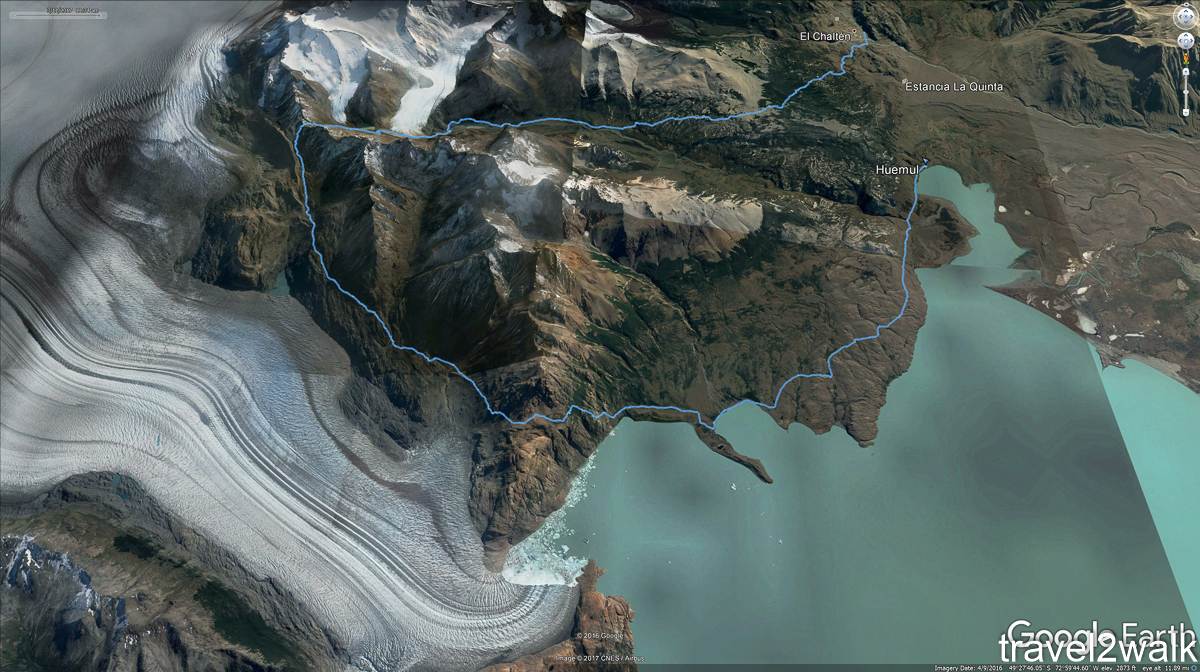
Day 4 was my walkout back to El Chaltén. Everyone hikes counter-clockwise.
Here’s the whole circuit visiting the Southern Patagonian Ice Field.
Circuit map via Travel 2 Walk
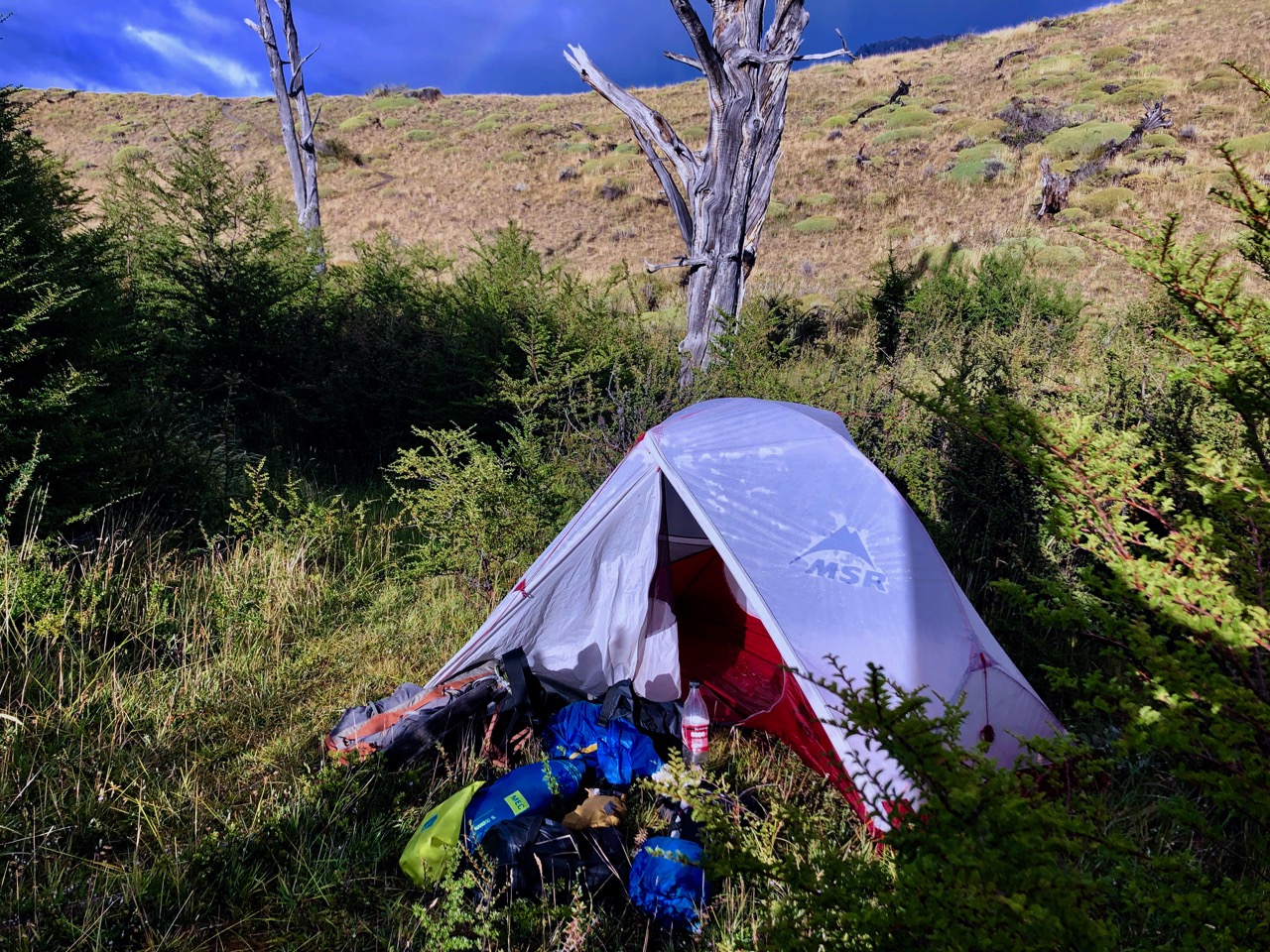
Very atypical for me, I didn’t sleep well.
And it rained on and off through the night.
Happily the sun came out about the time I got out of the tent.
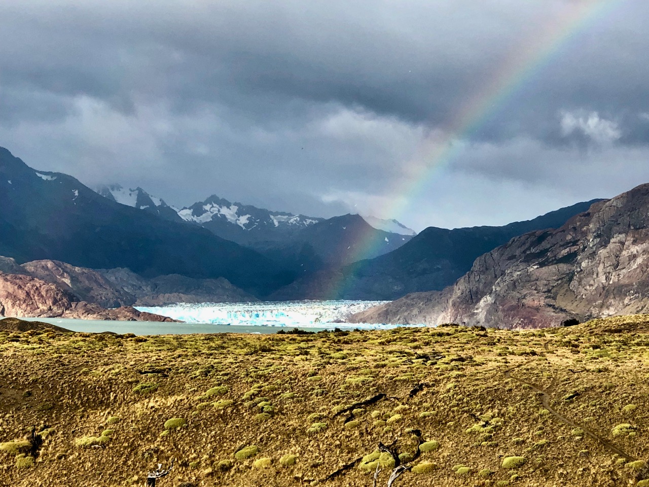
Despite my efforts of the previous day, I’d only saved about an hour by hiking past the designated campground. I could still see the glacier. And there was again a rainbow. 🙂
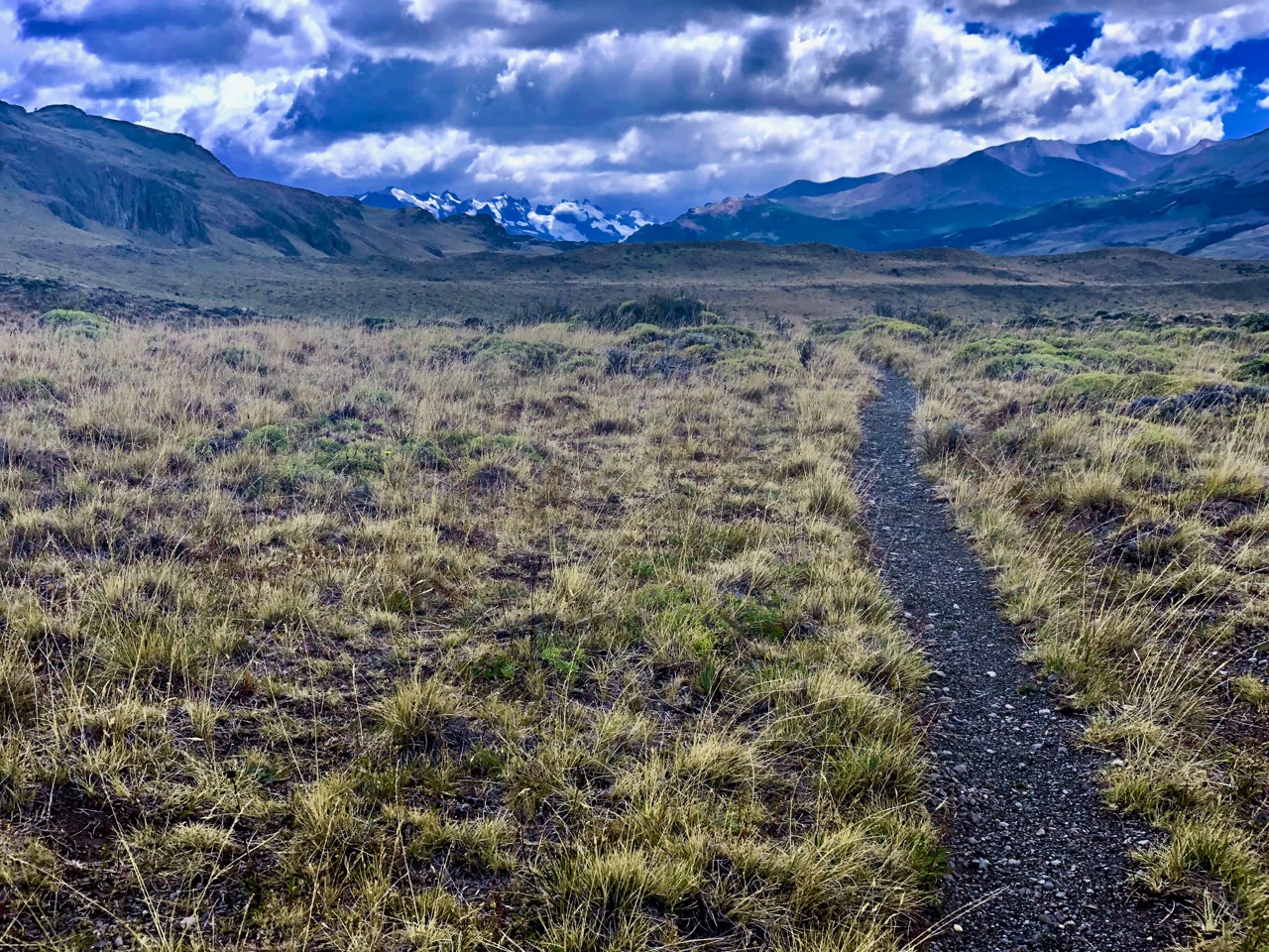
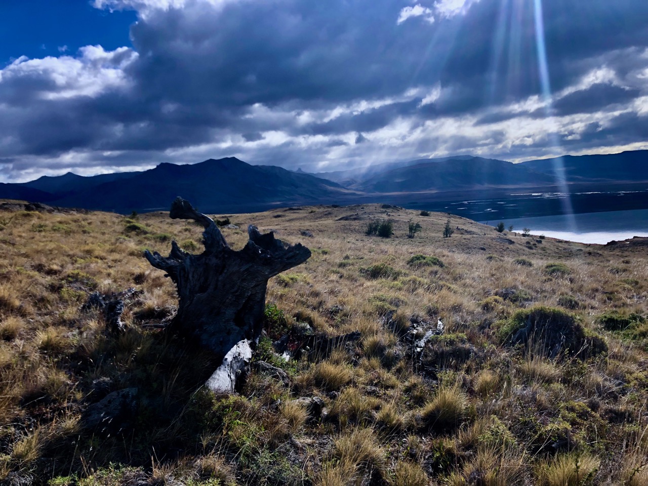
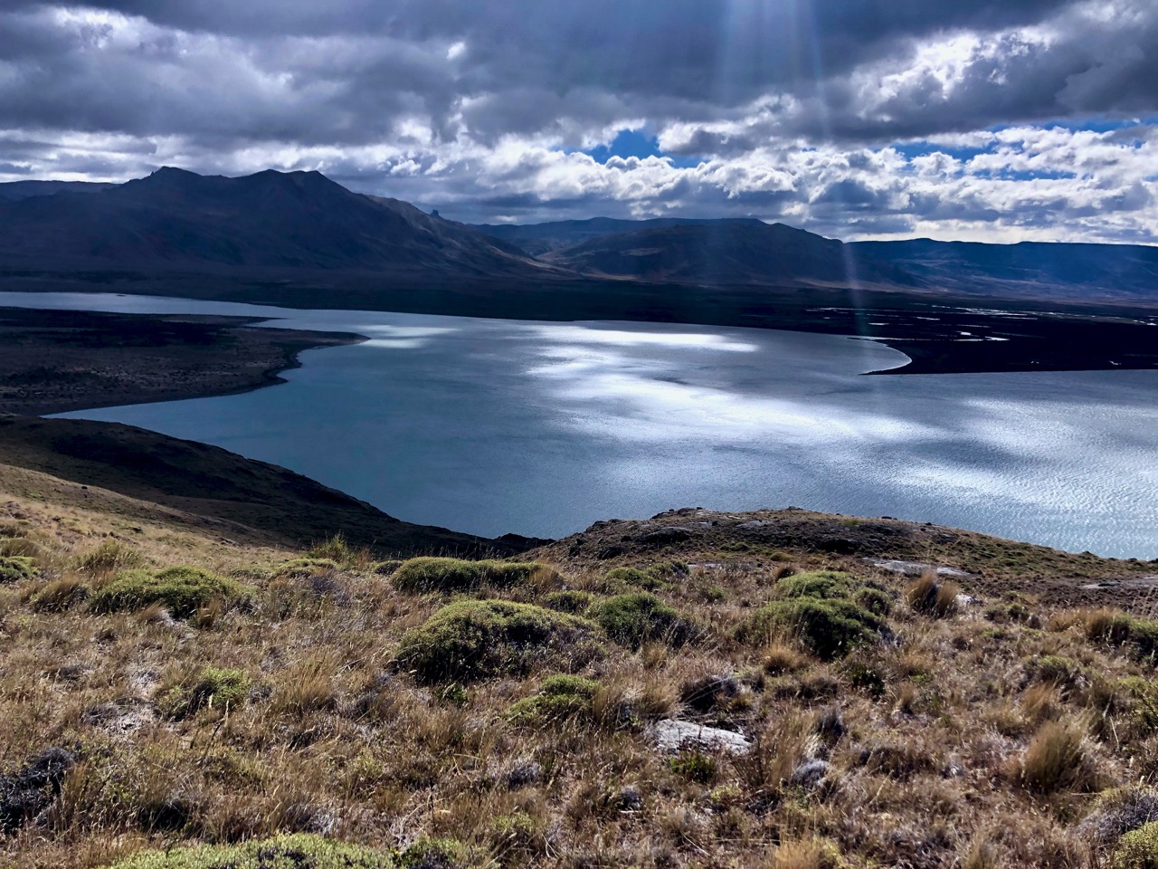
The trail continued in parallel to the Lake Videma shoreline thorough dry grasslands.
Though still beautiful, this was the least impressive day, I’d say. Not much variety.
The highlight was rabbits more rabbits. And one non-rabbit. He may have been a Patagonian mara.
When I caught a glimpse I assumed it was a plains viscacha, but it was more likely a mara.
I was looking forward to the second Tyrolean Traverse.
Arriving alone, I found the pulley was at this, the far side of the river. 😕 There SHOULD have been a slim rope attached to pull it over to the start on the other side.
What to do?
I knew I could walk to the lake and (probably) wade the river mouth. But figuring a way across was more fun.
My alternatives:
1. Attach my pulley carabiner directly to the cable (rather than the pulley)
2. Use ONLY my steel carabiner (normally a redundant safety system). This is what the guide did once on our first Traverse.
I went with #1 thinking it was the safer option. That worked. But I had to pull myself every inch with friction from the carabiner resisting. It was exhausting.
Here are some guys wading.
Walk Patagonia
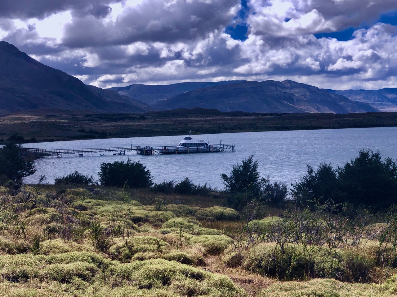
From there it was easy to find my way down to the Bahía Del Túnel dock.
This boat takes tourists to the Videma glacier.
I saw no people. No vehicles. So stayed on the ‘trail’ headed towards a ranch.
Actually, my hiking map showed the trail ending at the dock. Some probably walk the (much longer) road to town.
I could find no trail. Instead I worked my way through more grasslands in the direction of El Chaltén.
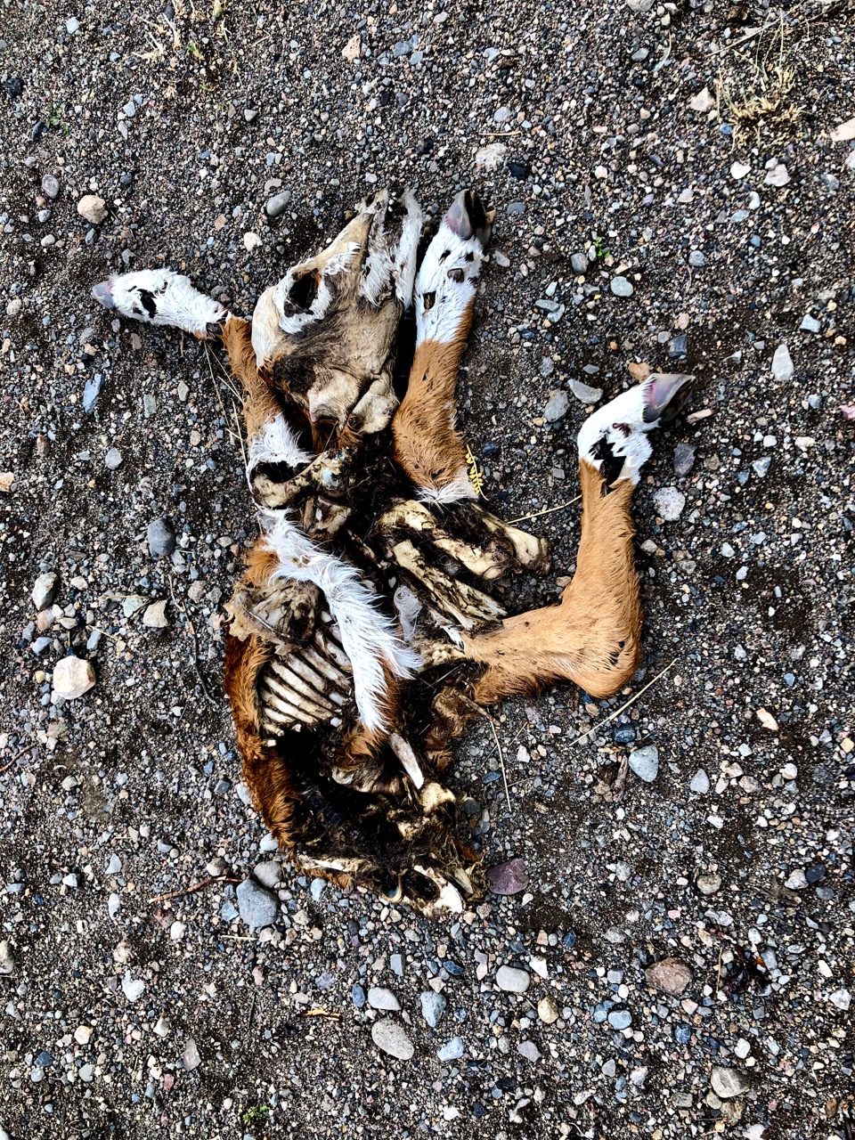
Ready to be done, I stumbled on to this calf. It was the second dead cow I’d seen.
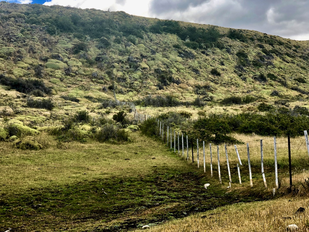
When I hit the first fence, being a polite Canadian, I tried to walk around the ranch.
That was a mistake. In the end I hopped about 5 fences and opened one gate. It wasted at least another hour. I should have hopped the first fence and headed directly to the highway.
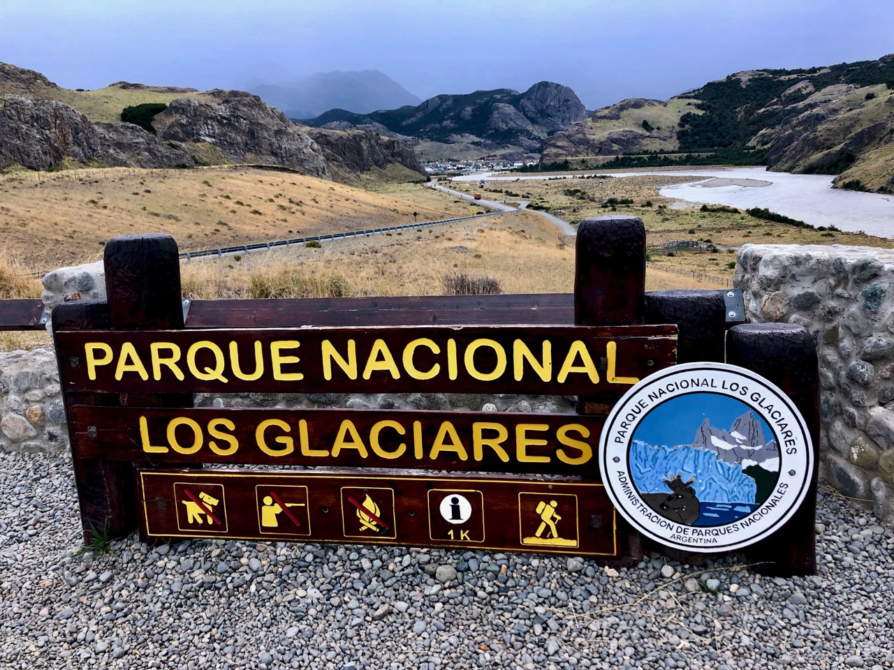
It was with satisfaction and relief that my final fence hop delivered me to this roadside lookout.
From there was an easy 3km to town on pavement.
I dropped my registration form at the Parks information office. They seemed happy to see I had survived.
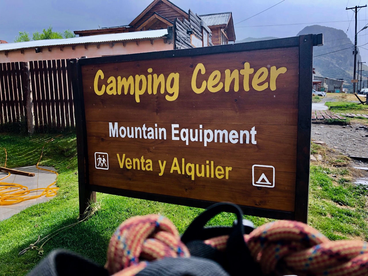
With a big smile on my face I returned my rental Tyrolean Traverse harness to ‘Camping Center’ in town. That was the only gear rental store I could find that doesn’t close for siesta.
It was back to the hostel for a long, hot, long shower. 🙂
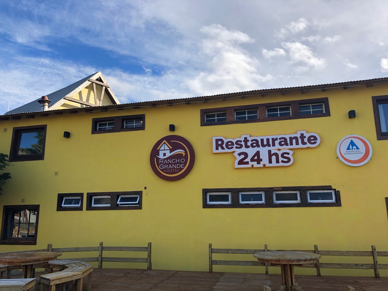
YES my hostel had a 24 hour a day restaurant! It’s popular with the late night partying backpacker crowd.
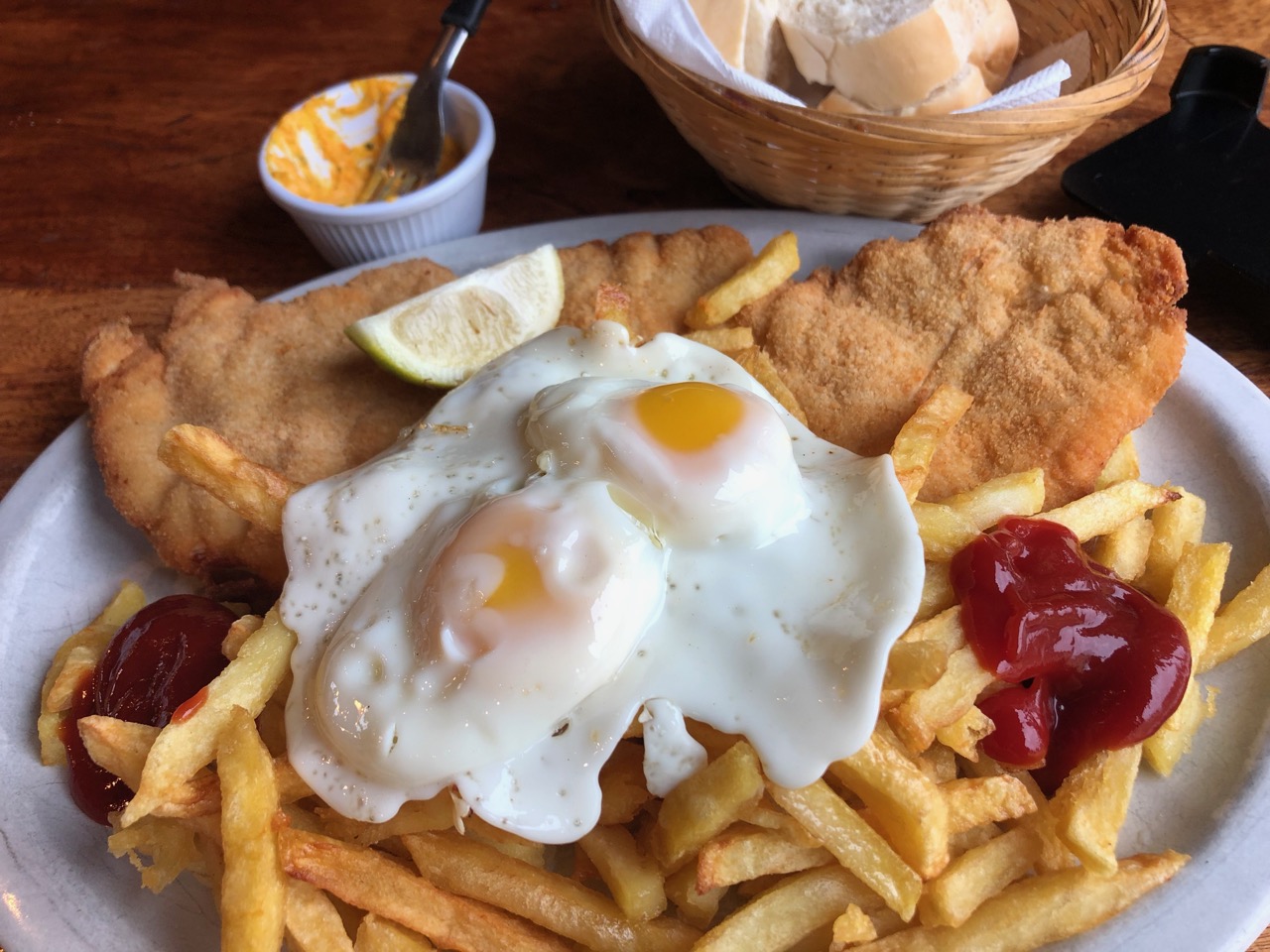
All I’d consumed this day was coffee. At 6:30pm I splurged on a huge meal. Breaded chicken a lo pobre.
The Huemul Route out of Fitz Roy, Argentina is superb. Some of the best vistas of my life. One of the very best hikes in the world.
____
If you are worried at all about the Traverses … and navigation, consider signing on with a guided group. Chalten Mountain Guides, for example.
The Continental Divide Trail Class of 2018 shares insights on all things CDT – from gear to resupply. It's everything you need to know about the CDT.https://t.co/pLFPAgBI4A
Mac posted his 6th annual Pacific Crest Trail (2018) Thru-hiker Survey, a terrific resource. It’s interesting to see what gear successful hikers carried and liked best.
Outdoor retailer Patagonia announced Wednesday that it plans to donate the $10 million it is saving from President Trump’s corporate tax cuts this year to environmental groups.
“Based on last year’s irresponsible tax cut, Patagonia will owe less in taxes this year — $10 million less, in fact,” CEO Rose Marcario wrote in a LinkedIn post Wednesday afternoon.
“Instead of putting the money back into our business, we’re responding by putting $10 million back into the planet. Our home planet needs it more than we do.” …
Odds are better in the other (more difficult) direction.
This superb trip report is recommended for your planning.
Brown Gal Trekker:
I completed my solo thru hike of JMT’s entire length of 210 miles plus 11 miles climb up from Whitney Portal starting from Whitney on July 29, 2018 and ending in Yosemite Valley on August 21, 2018, a day ahead of my schedule …
JMT northbound wasn’t the original intention. The start supposedly had to occur in Yosemite heading southbound and ending with the highest passes like most thru hikers do. Many proclaim southbound route trains you best for the harder climbs and higher altitudes. And yet northbound JMT took shape due to the permit limitations. Hence, northbound became the journey.
… Whitney greeted me on the 2nd day. Forrester pass at 13000 feet came in on day 4. Kearsarge at 11750 feet came the next day. I hauled 40 pounds all the while. …
The regular SOBO permits can be obtained solely through a lottery. You can apply 170 days prior to the start date of your choosing. Application form must be completed and faxed. For the SOBO permit, you must fill out your starting and ending dates plus your trailheads of preference. The instructions are straightforward but the chances of getting a permit are rather slim. You can learn more about applying via this website.
Because we weren’t the lucky 2% who scored a SOBO permit, we ended up taking our chances on the unclaimed permits going NOBO via Whitney Portal. If you wish to go for overnight Whitney permits from the start, the application usually starts in February. See details on how to apply for Whitney overnight permit lottery here. We searched for permits on May 1st, when the unclaimed permits were released. These permits can be booked via Recreation.gov. To learn more, go to this site.
In applying for the permits, you will need to guesstimate your itinerary. The most important part is the entry date and entry point. In our case, we were seeking to secure the overnight Whitney permit for our desired date. When you get to Lone Pine, CA, make sure to stop by the Eastern Sierra Park office to pick up your permit. …
If interested in doing the John Muir Trail yourself, check our JMT information page.